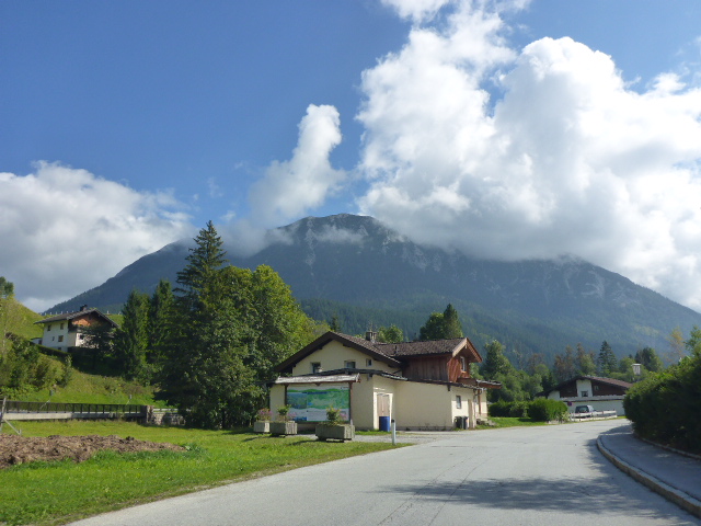
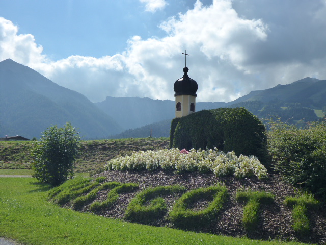
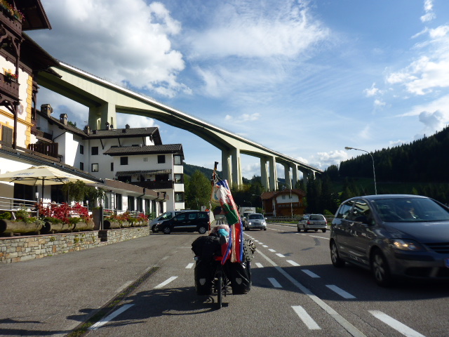
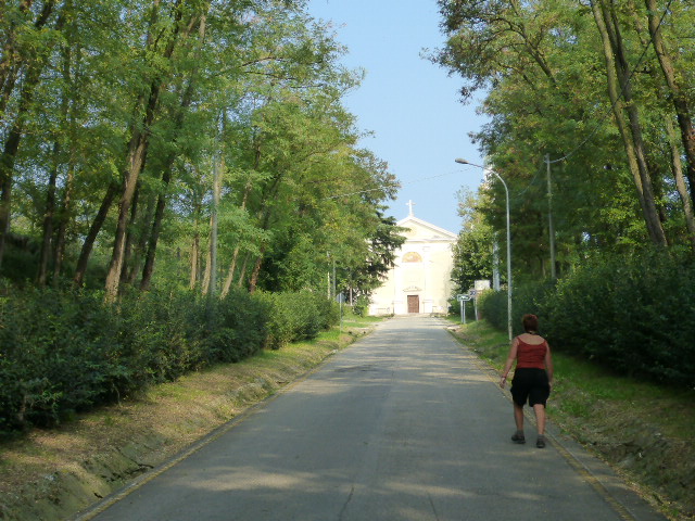
Monday 19th September
Munich to Wolfratshausen
Distance: 44.42km
Average: 9.56kmh
Top Speed: 43.52kmh
Total Distance: 7881.15km
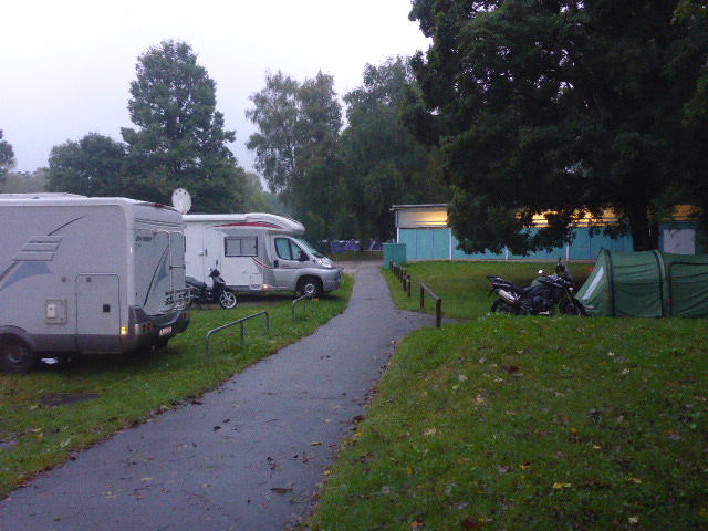
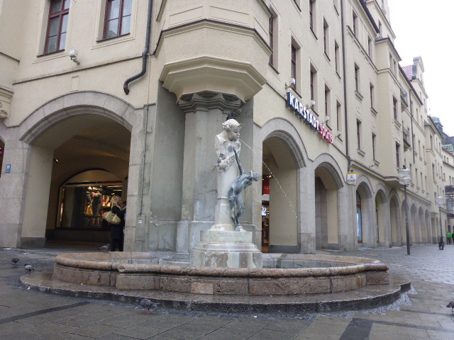
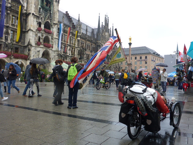
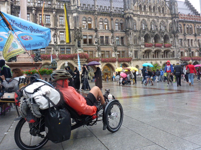
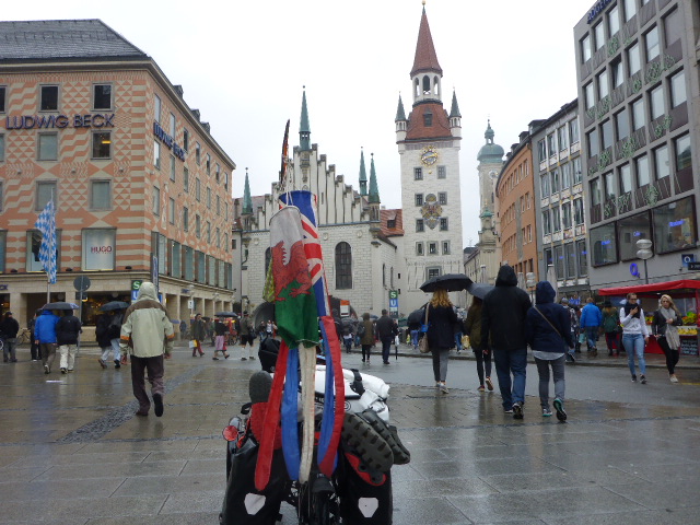
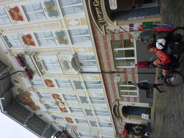
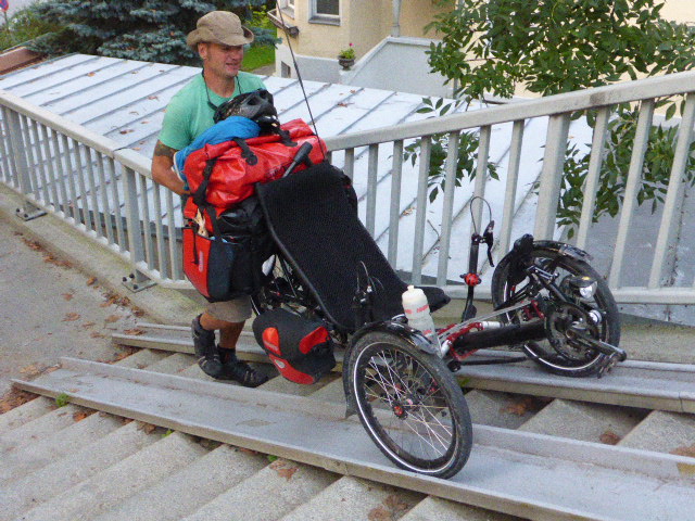
An early start this morning because we need to get to Traumvelo bike shop in Ottenhofen for a bike service.
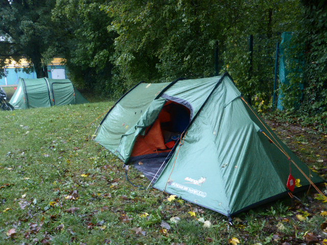
So we pack up ( the tent is soaking wet after another night of continuous rain, it’s as wet on the inside as the out; condensation!)
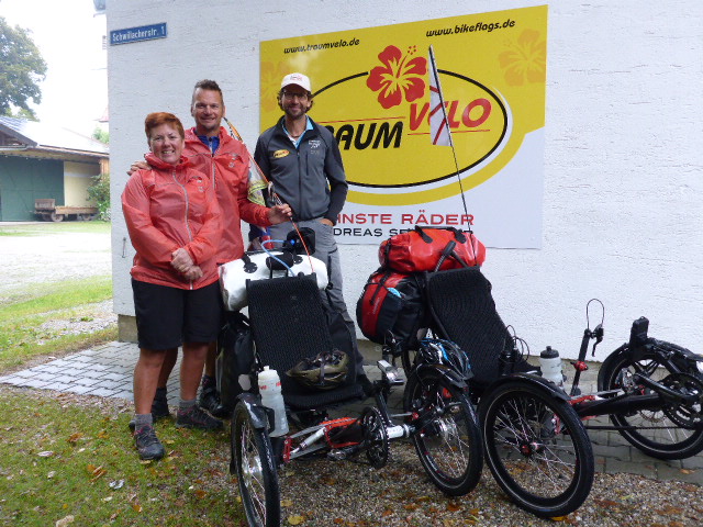
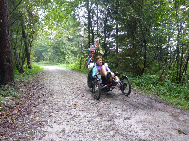
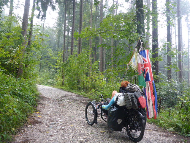
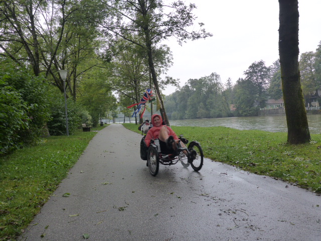
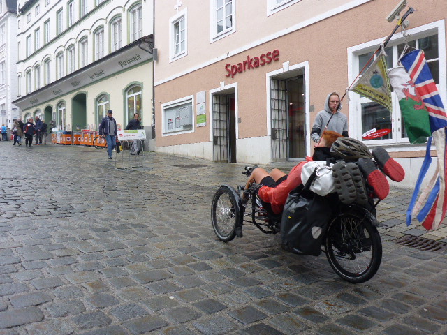
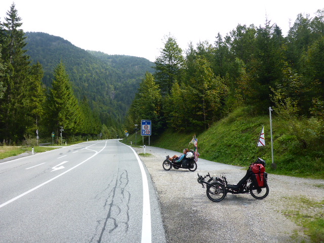
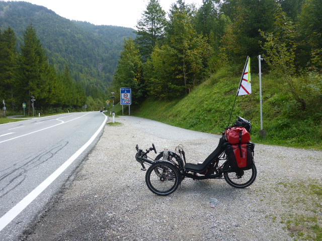
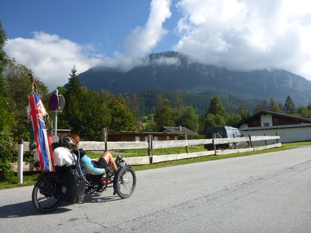
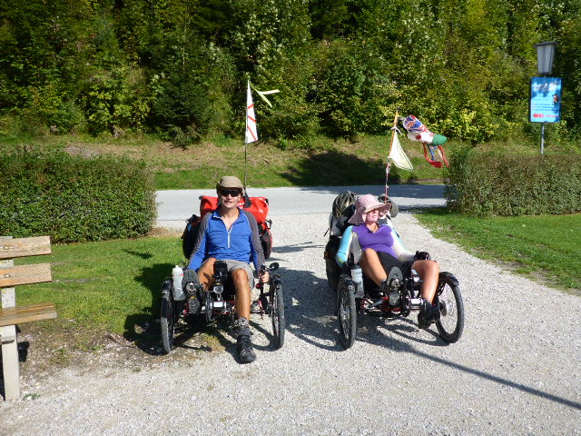
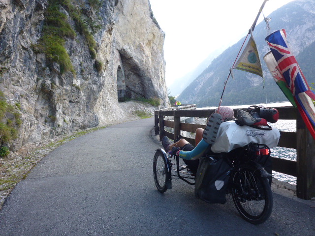
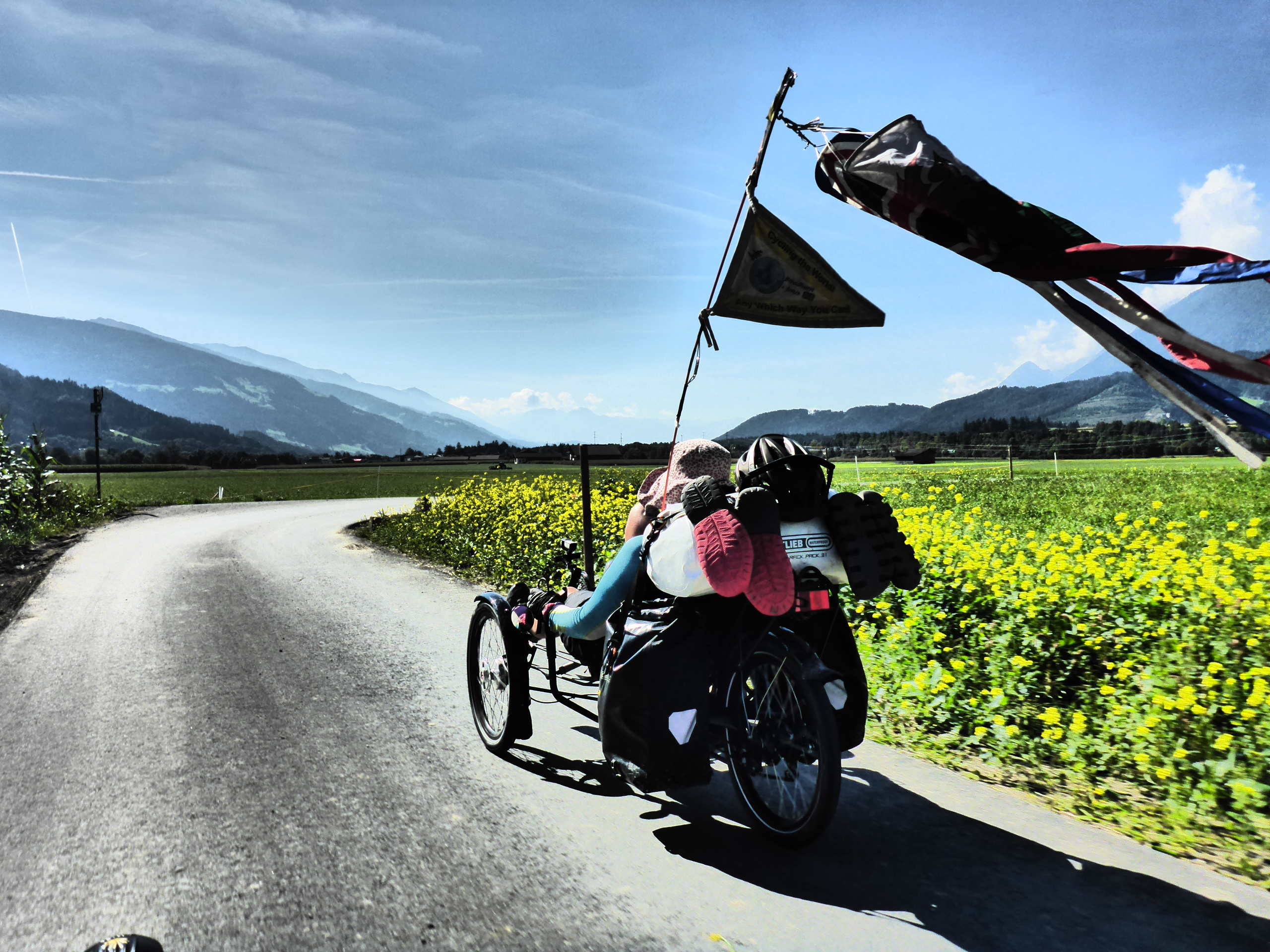
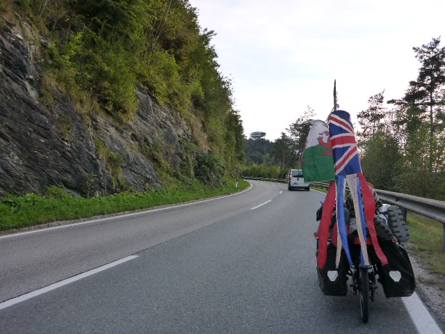
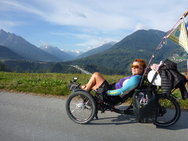
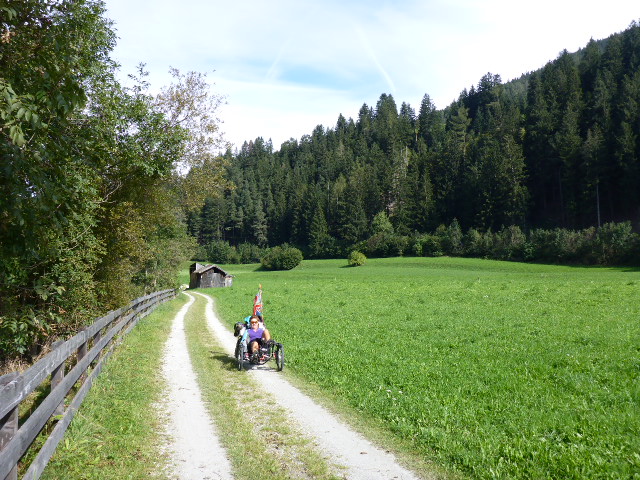
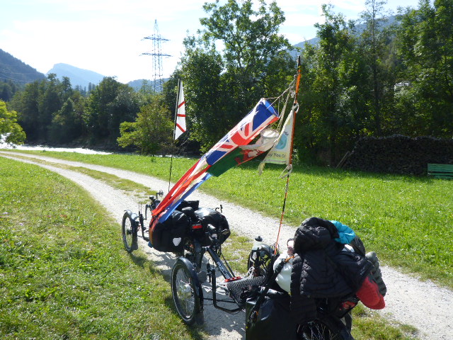
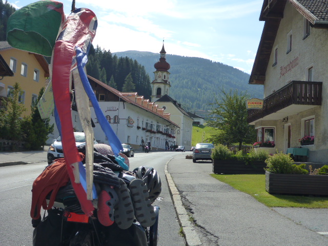
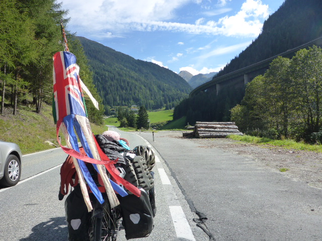
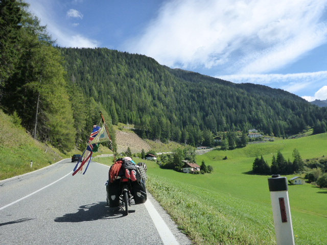
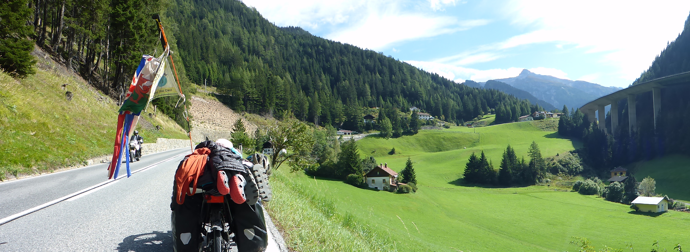
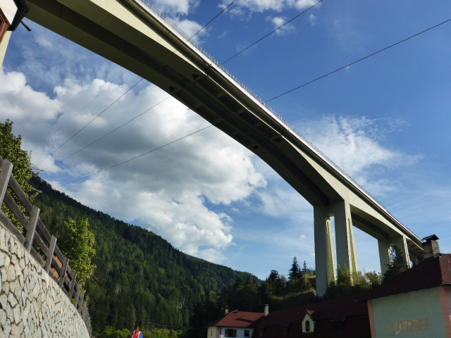
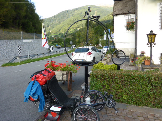
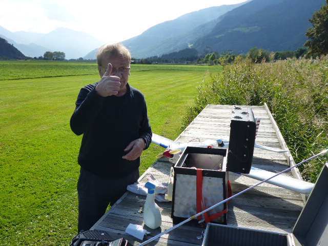
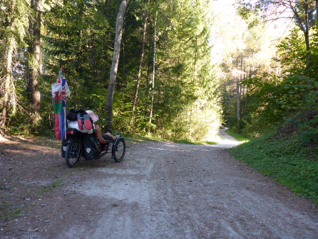
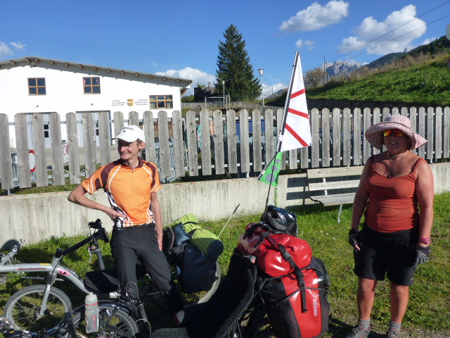
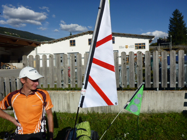
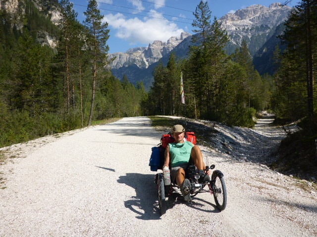
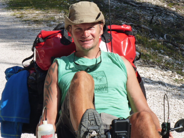
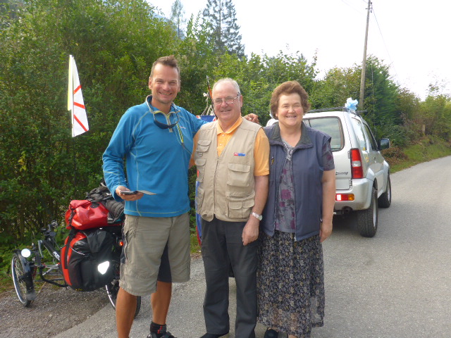
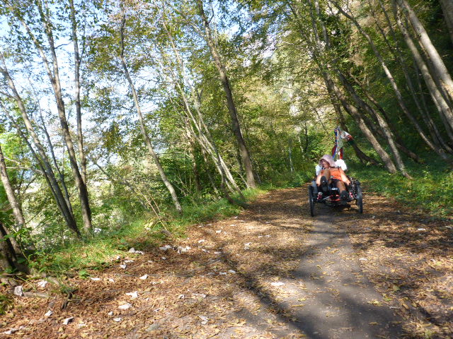
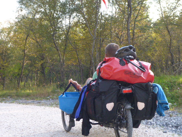
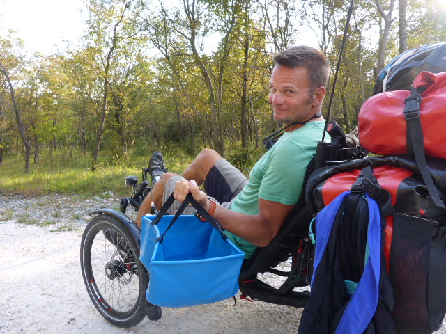
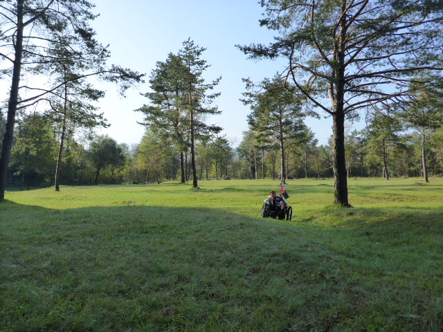
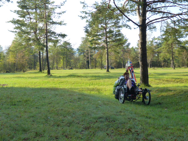
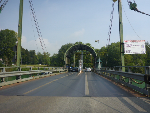
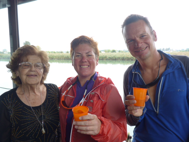
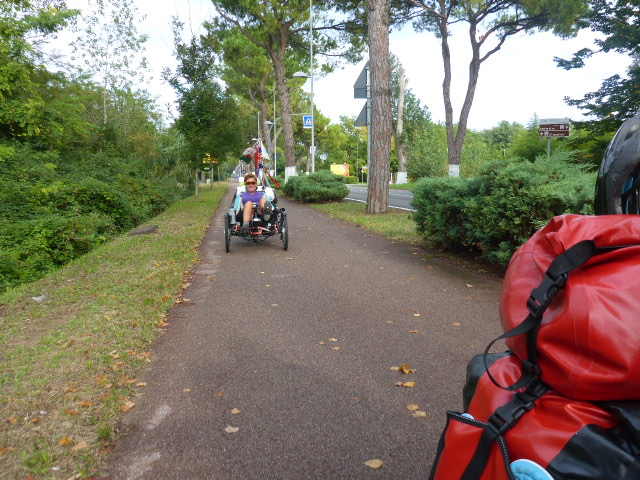
and cycle into the city centre and get the S-bahn to Ottenhofen which is 30km north of Munich. Andreas, the shop owner is a world champion recumbent cyclist as well as a dedicated tandem cyclist and his walls are covered with photos of his cycling adventures . He has 4 tandems including a traditional one and a Hase. It’s great chatting to him about how to achieve the most from a tandem and how a trike differs. He checks our trikes over but unfortunately he can’t help with the Son dynamo problem. We’re going to need an electrician or an electronics shop to fix it. Andreas is doing this as a favour to Azub and he’s even doing it on a Monday, when the shop is normally closed. He’s a ‘top chap’ and we buy one of his flags. Thanks Andreas!

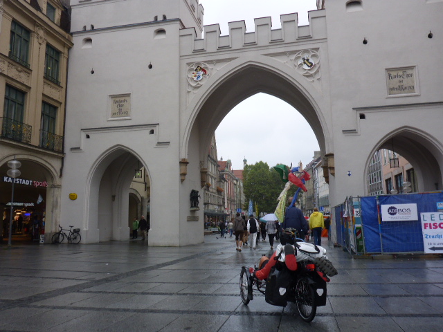
Once he’s done we head back to the city centre and set out on our trip to Venice.
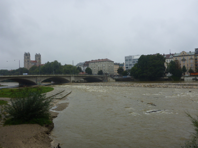
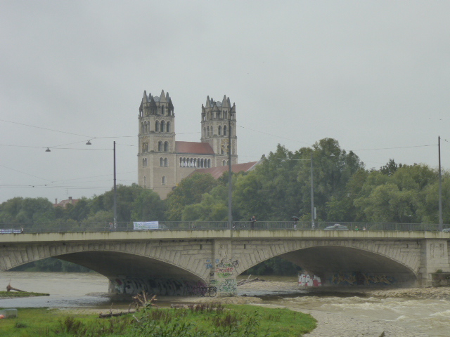
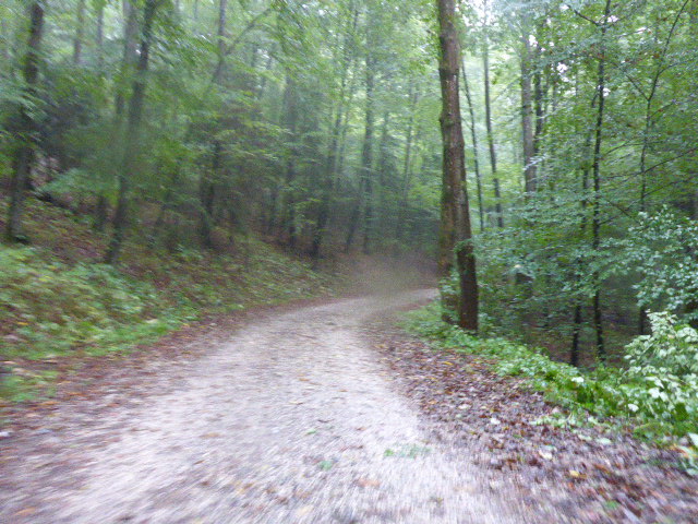
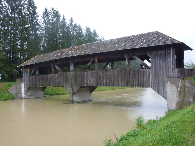
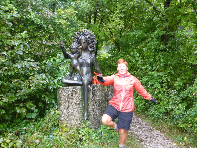
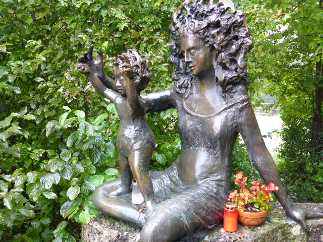
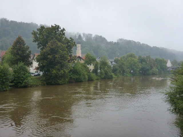
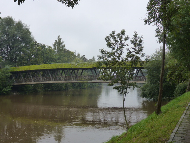
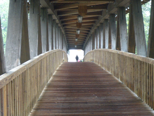
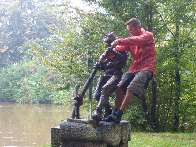
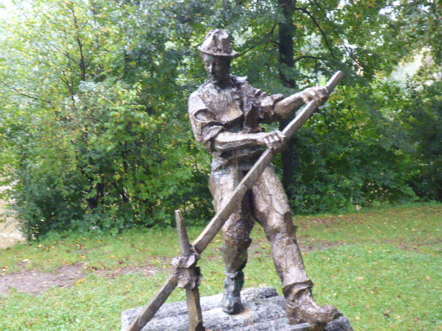
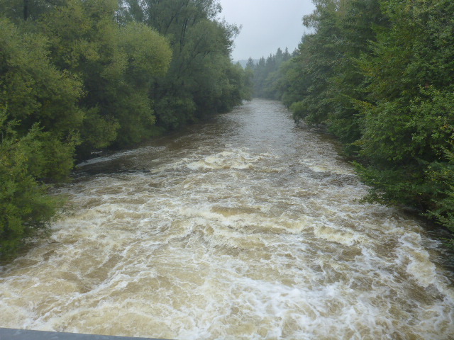
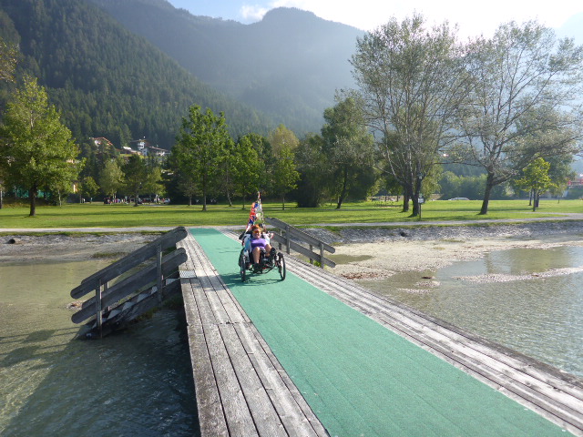
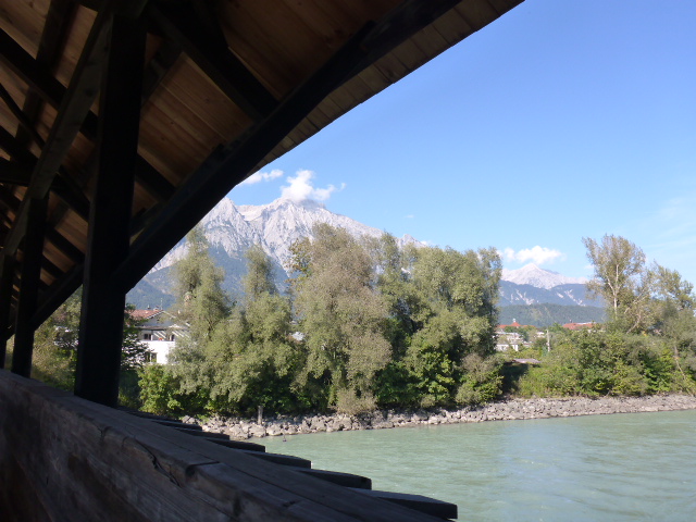
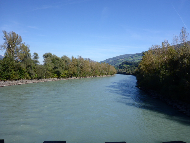
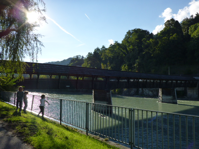
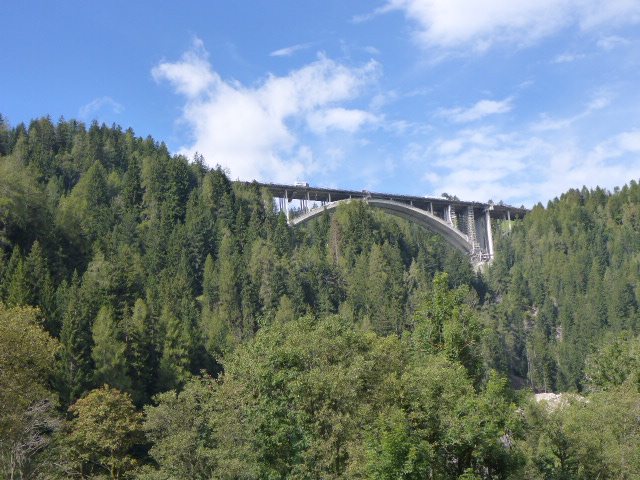
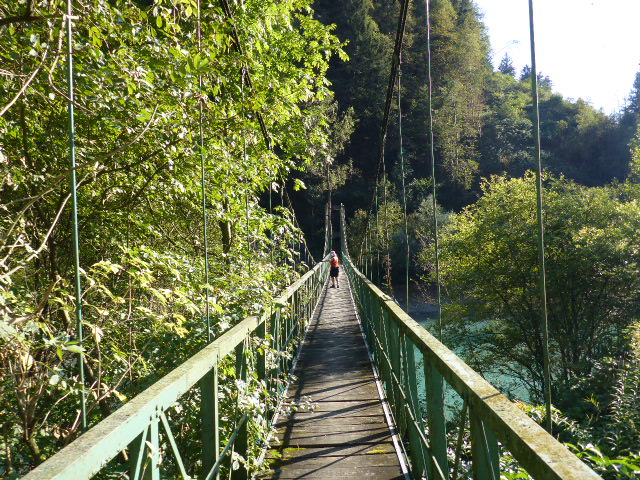
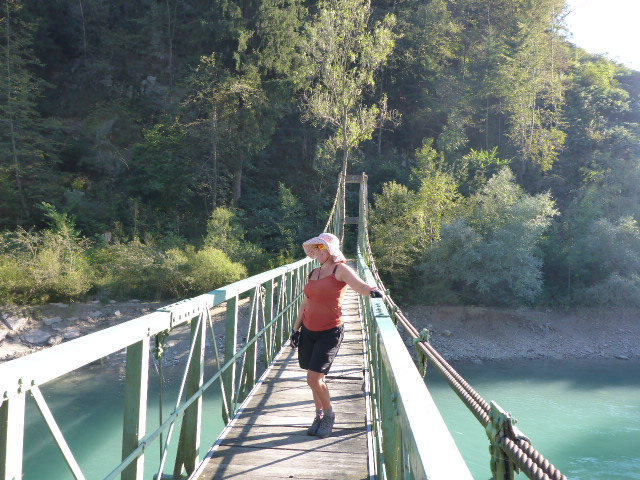
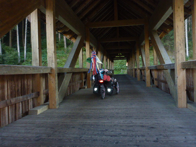
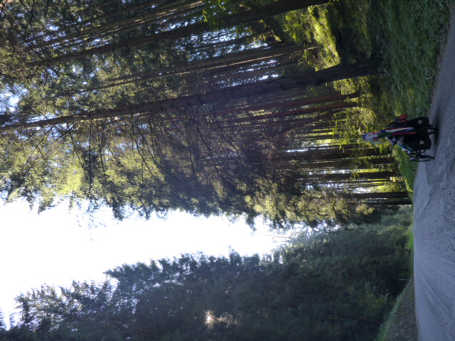
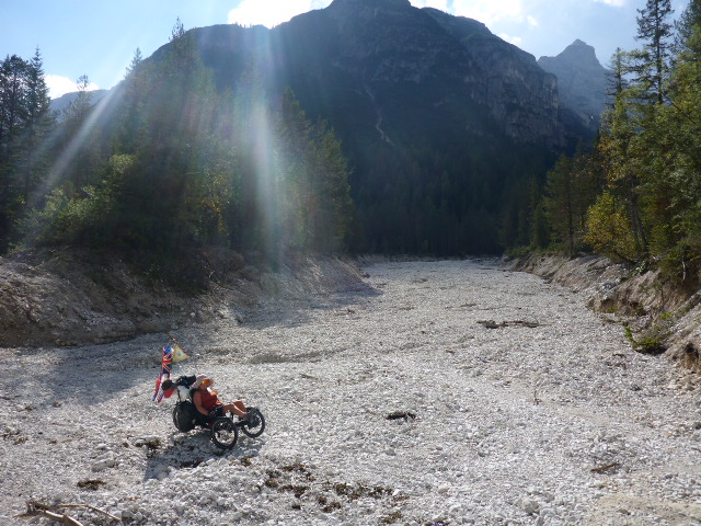
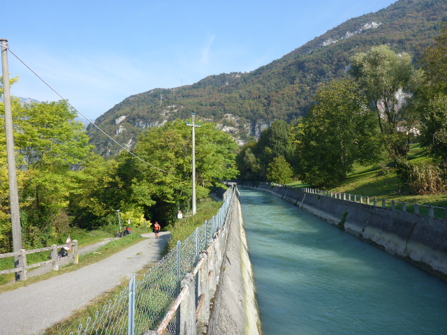
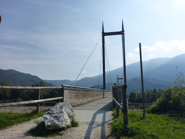
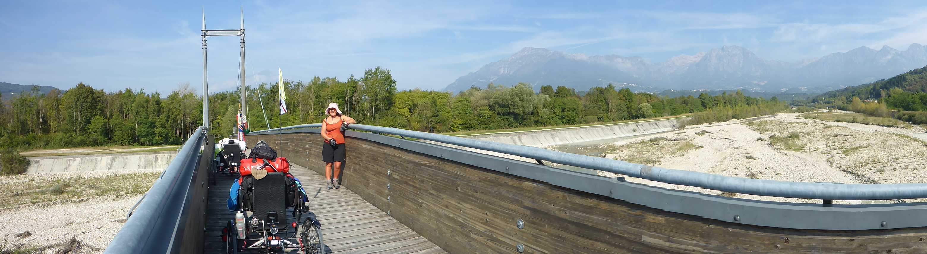
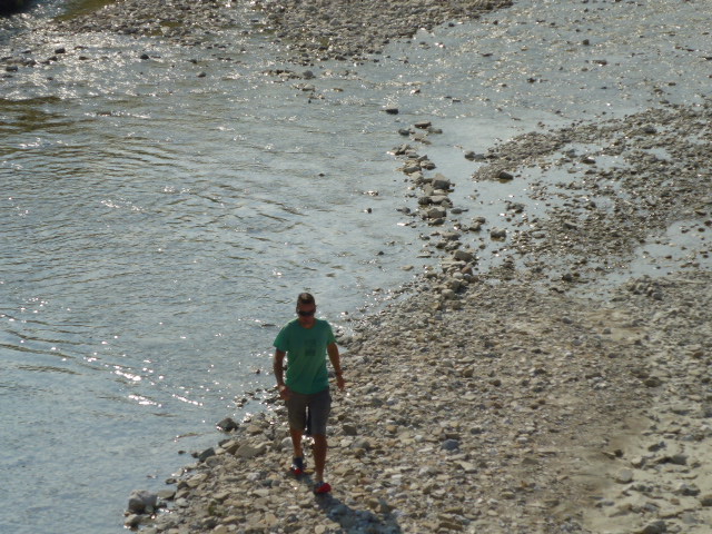
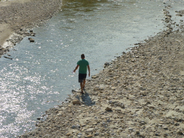
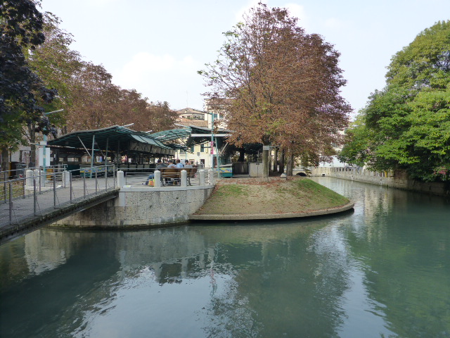
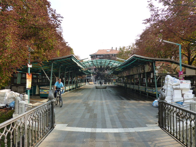
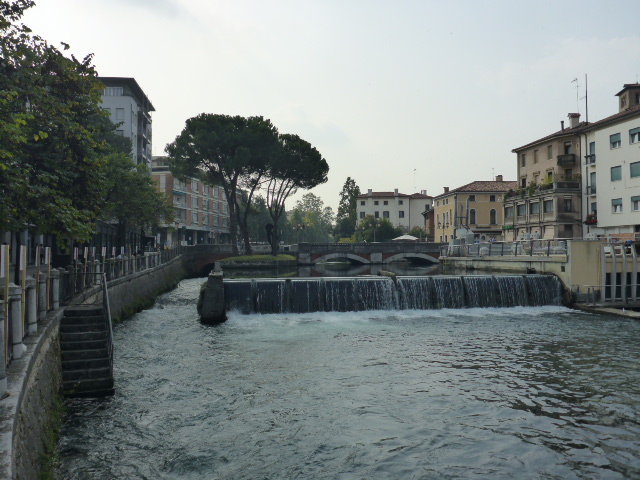
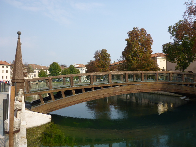
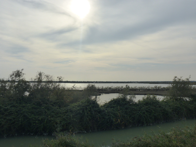
We follow the River Isar out of the city. A week ago the water was clear and people were sunbathing on small pebble beaches, now after 3 days of rain it’s a torrent of muddy brown water with uprooted trees and debris lying everywhere. We leave the river and cycle through woods and then along the canal and see Aumühle wooden bridge.
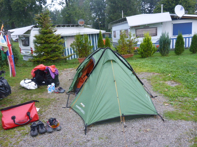
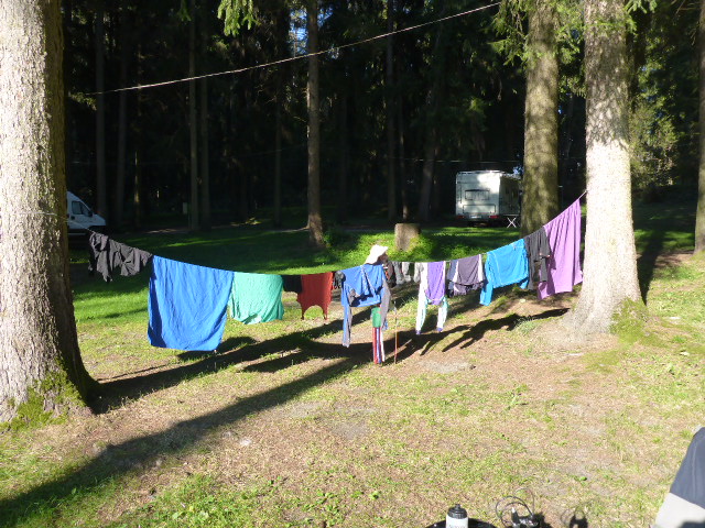
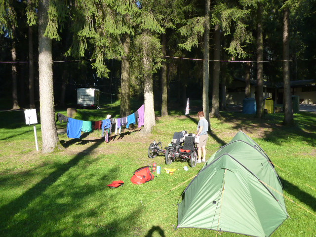
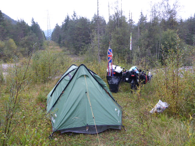
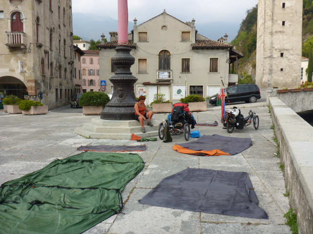
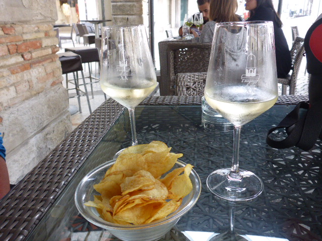
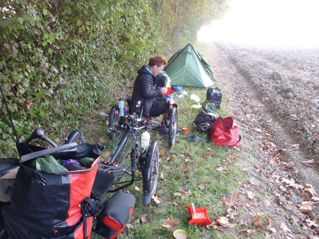
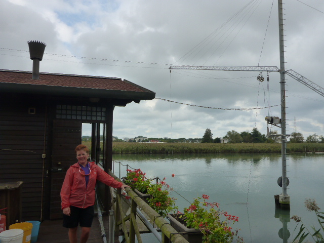
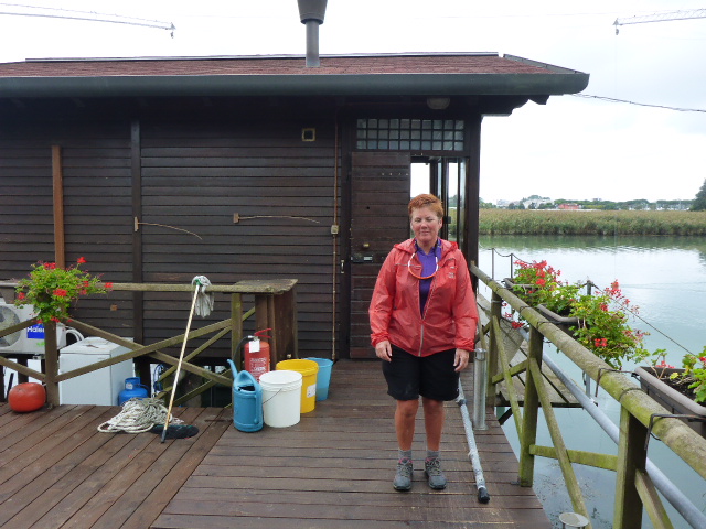
We cycle passed a fishery and realise the fish are launching themselves out of the water to catch the flies. Over the canal the swallows are skimming low to catch their tea. It’s been a scenic route but the rain spoils our enjoyment. It’s no longer a torrential downpour but just a fine drizzle but we’ve had enough. We’re soaking wet and starting to get cold so it’s a proper bed for tonight I think! Unfortunately because it’s Oktoberfest even this far out of Munich accommodation is double the usual price. But at least we have somewhere to park the bikes and our landlady even agrees to do our laundry. Once we’ve unloaded there’s a frenzy to locate all our stinking clothes, plug in all our electrical equipment and hang our tent somewhere where it can dry out. Within about 20 minutes the floor is covered in puddles of dirty water, leaves and slugs. Euchhhhhh – disgusting!
Tuesday 20th September
Wolfratshausen to Arzbach
Distance: 42.70 km
Average: 8.95 kmh
Top Speed: 55.73 kmh
Total Distance: 7923.85km
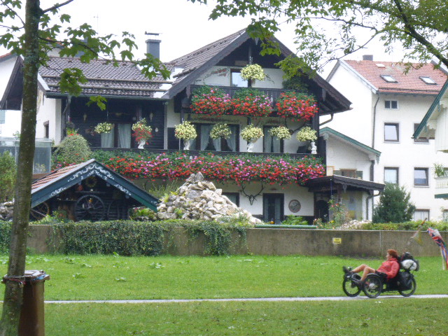
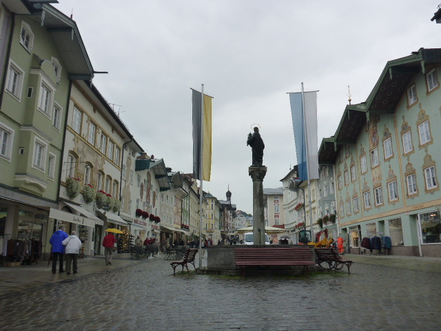
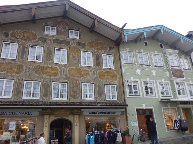
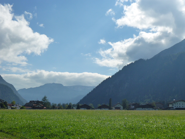
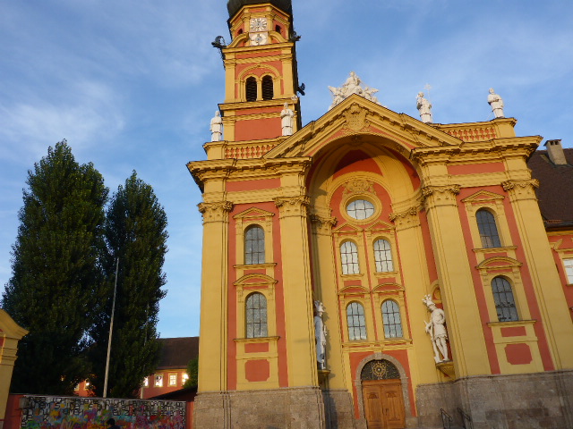
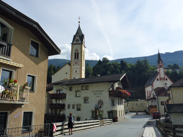
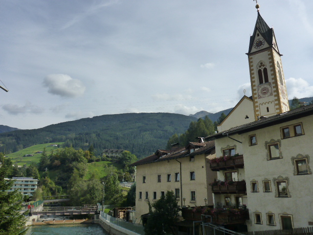
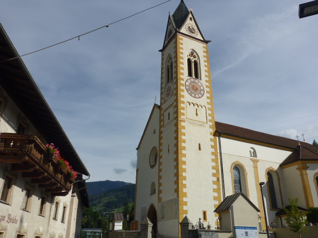
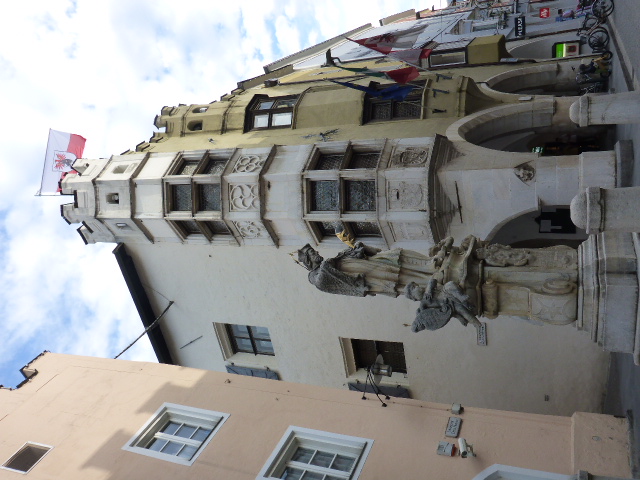
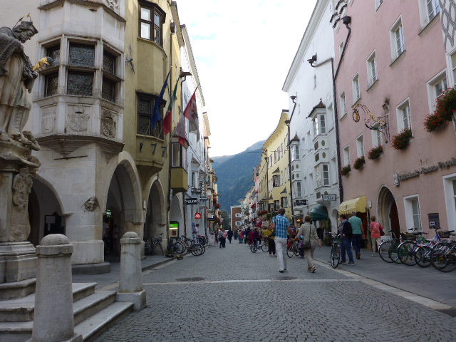
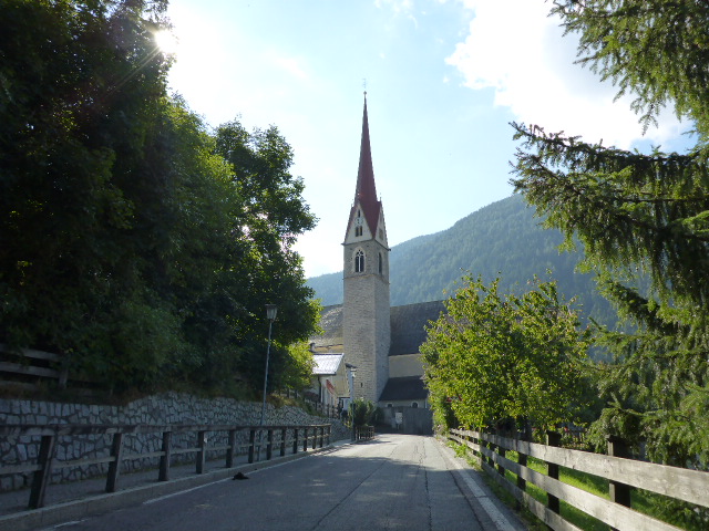
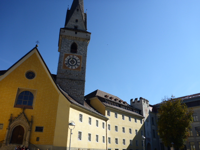
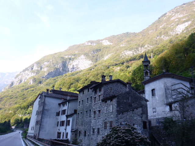
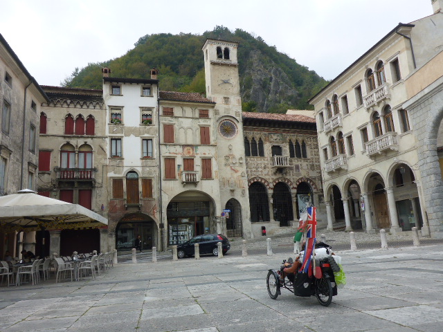
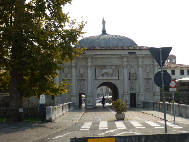
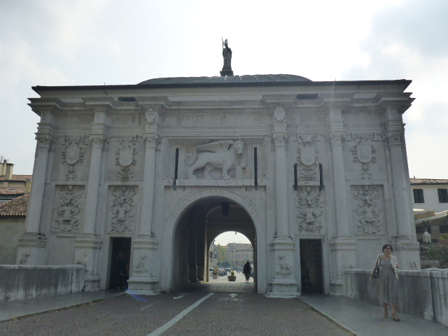
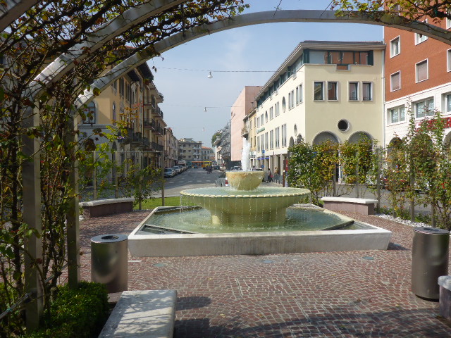
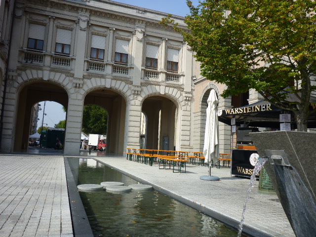
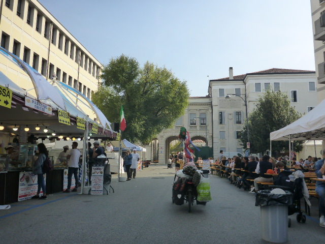
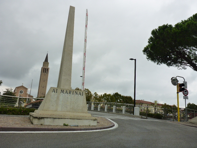
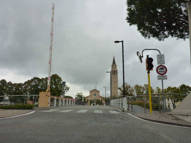
What a fantastic night in a comfy bed without the constant noise of rain on canvas. Thankfully our tent is mostly dry and we manage to tidy up our mess. There’s a fantastic spread for breakfast including freshly made scrambled eggs and we also manage to fill a bread roll each for our lunch. The rain has stopped and in its place there’s a damp mist but it’s a huge improvement on the heavy rain of the past few days. We follow the signs for Wolfratshausen, which was made rich by river transport and trading of Tölz beer, salt and minerals extracted from the local mines.
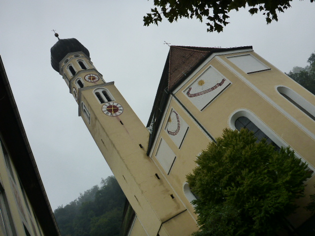
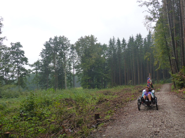
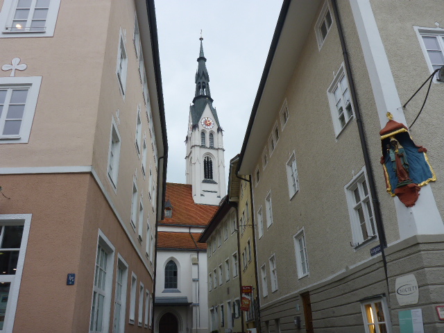
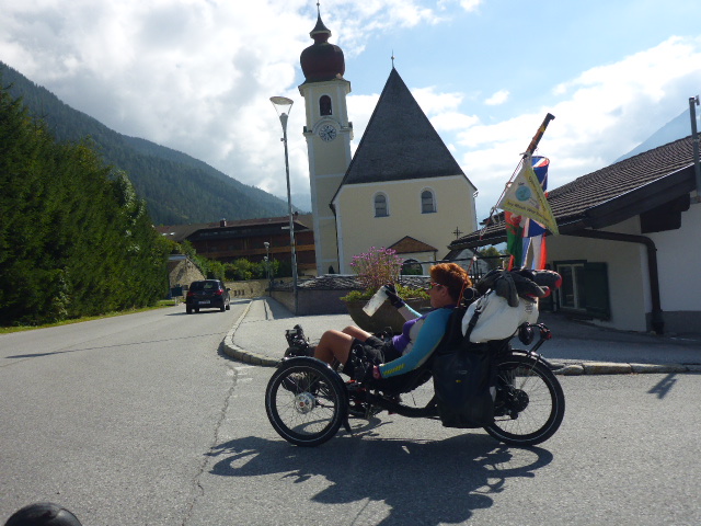
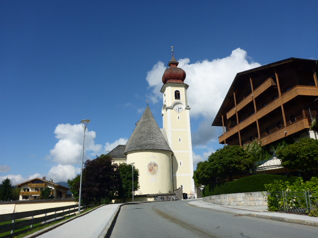
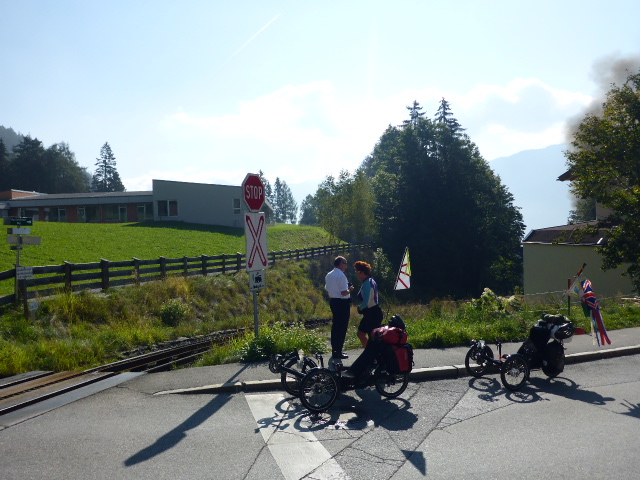
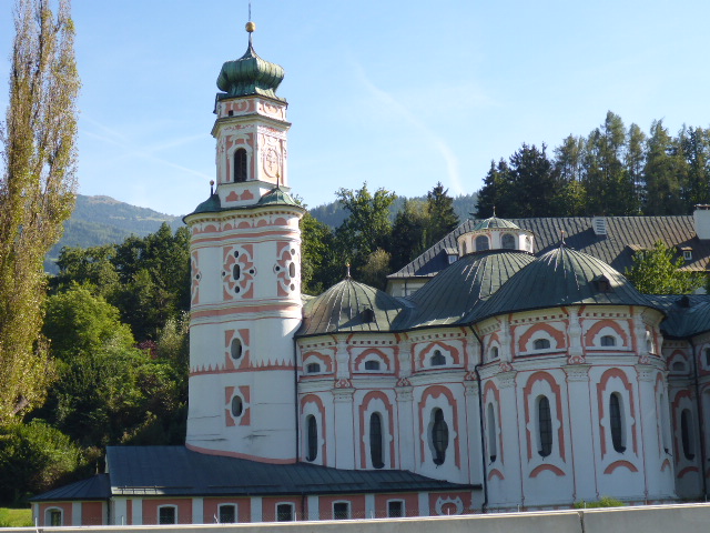
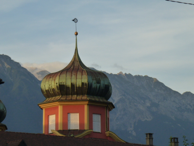
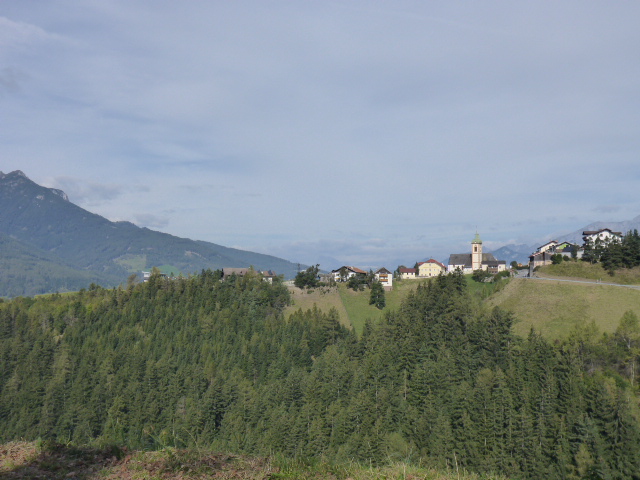
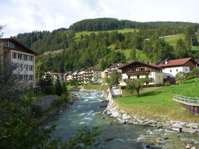
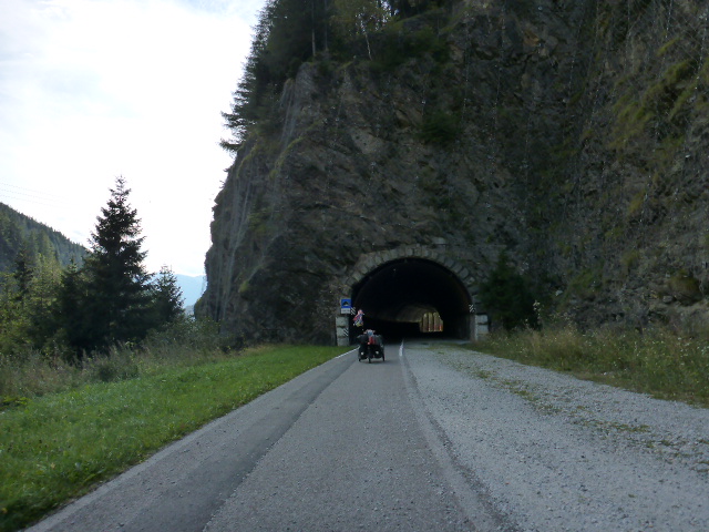
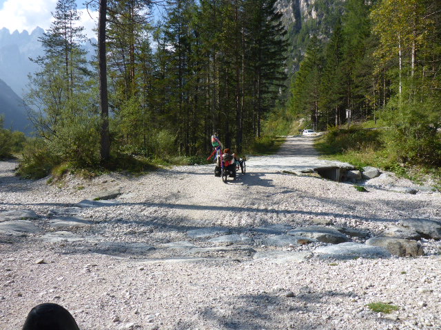
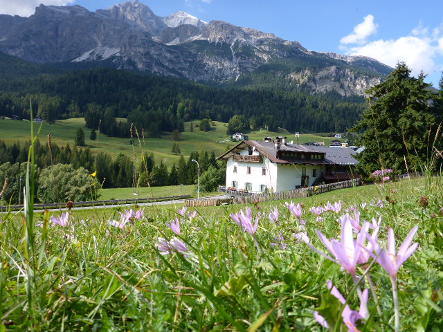
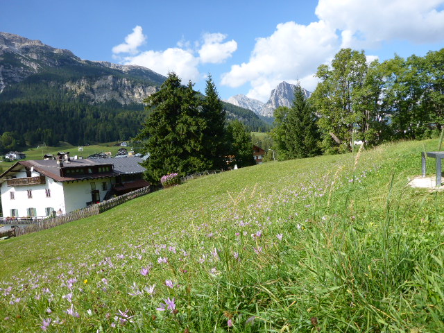
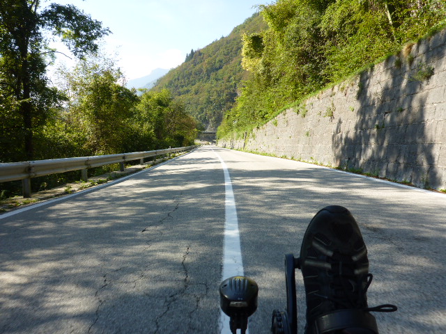
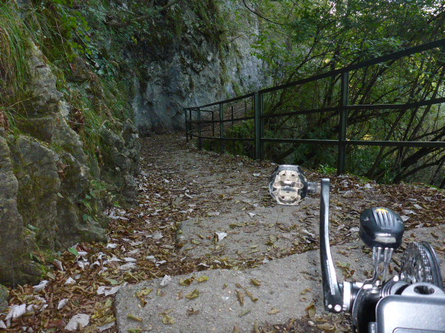
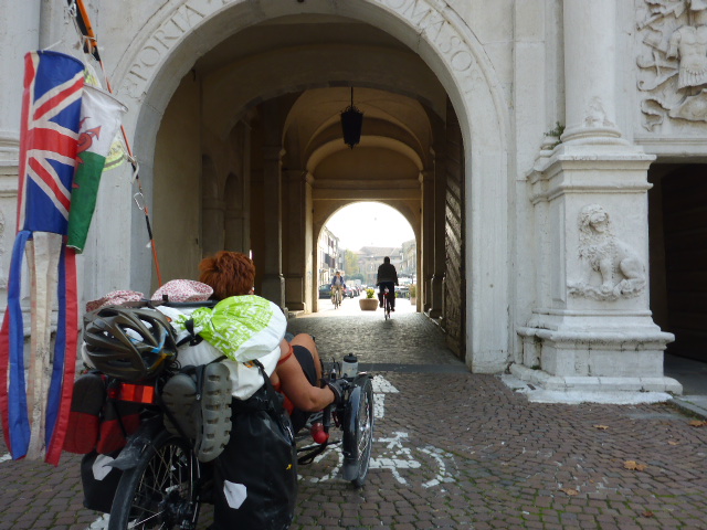
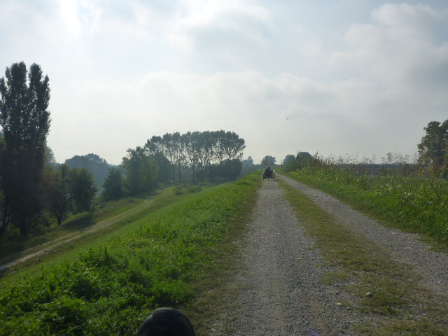
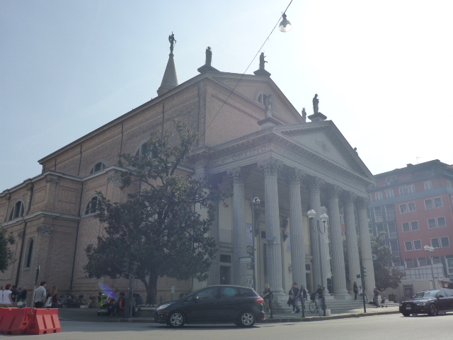
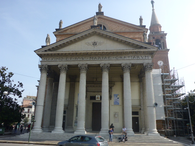
There are beautiful frescoed houses along the central Markstrasse and the parish church of St Andrew has an onion dome bell tower. Having cycled to the centre Daz sees a sign for a HiFi shop and he hopes they might be able to help with the Son dynamo problem. Unfortunately they can’t help but direct us to a cycle shop. The cycle shop can’t help either but we try some self help. We cut off the soldered wire connectors and rewire by hand and tape. The lights still work but we’ll have to wait awhile to see if the EWerk battery takes charge. We head out of Wolfratshausen and follow a cyclepath through woods with the Isar down to our left. There are some steep gravelly climbs, but apart from a wheelspin or two on the wet stone the trikes climb with ease.
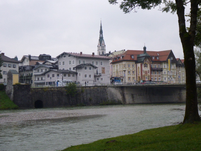
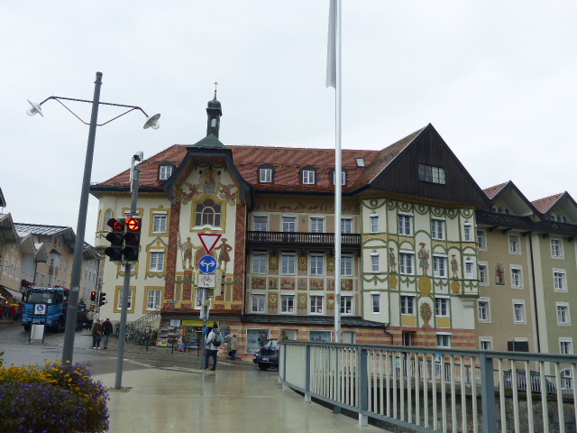
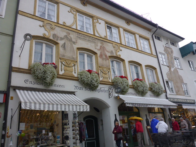
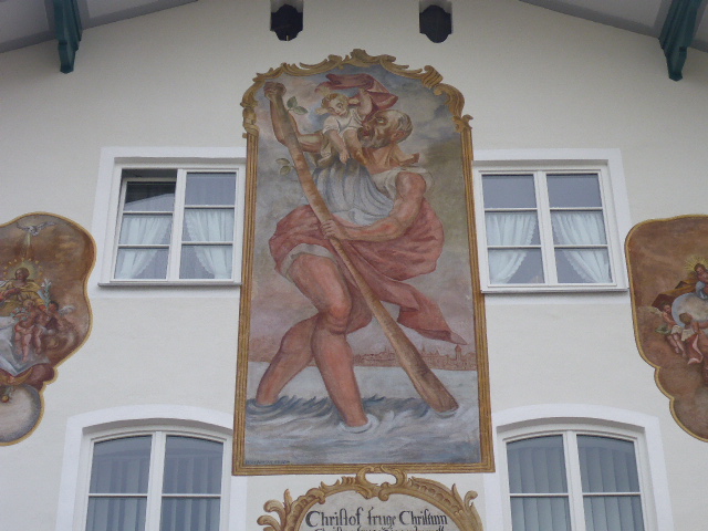
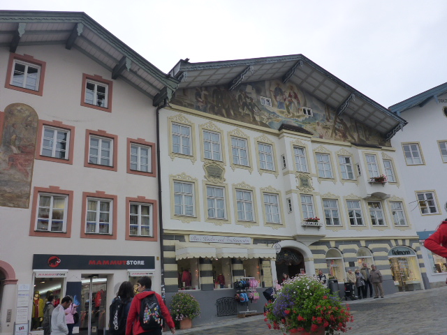
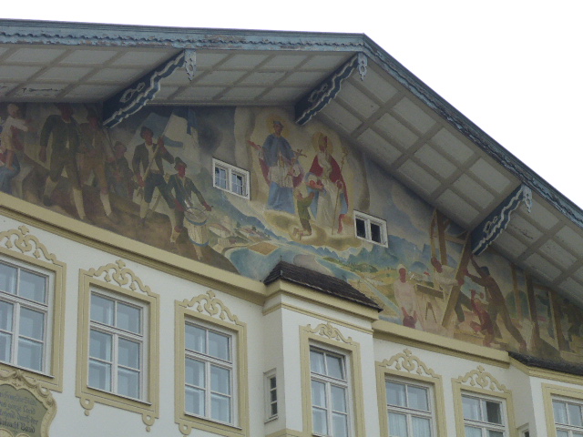
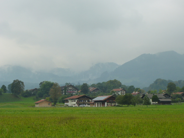
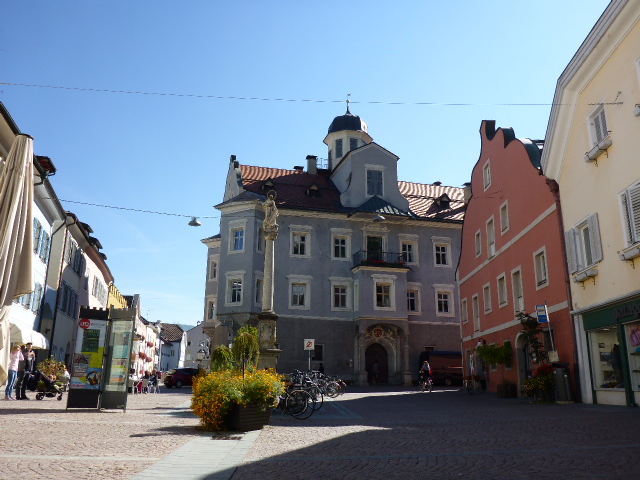
Occasionally we break out of the woods into open meadows with pretty houses and cows grazing on the grass. We follow the Isar until we reach Bad Tölz and cross the River to cycle into the Old Town. We stop for a coffee and for Daz to buy a poncho in dayglo yellow which he’s convinced is the best garment to keep him dry on his trike. We test the EWerk battery – no joy! Bad Tölz is a spa town at the foot of the Alps. Along the historical Marktstrasse there are the Baroque facades decorated with luftl painting technique. We leave Bad Tölz and follow the Isar until Arzbach where we stop at a campsite. Daz tries replacing sections of the EWerk / Son dynamo wiring with spares he brought with him but nothing helps. He decides it’s the EWerk battery that’s faulty. So we have no charging facility.
Wednesday 21st September
Arzbach to Achenkirch
Distance: 44.03 km
Average: 9.36 kmh
Top Speed: 37.48 kmh
Total Distance: 7967.88 km
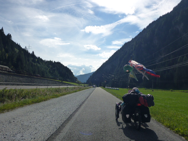
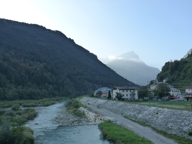
Today we follow the Isar.
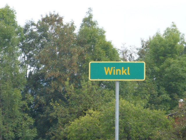
Daz is excited as a schoolboy because a town is called ‘ Winkl’.
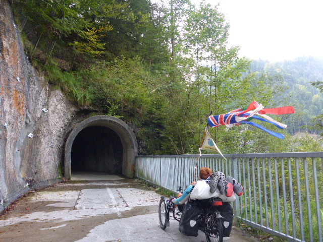
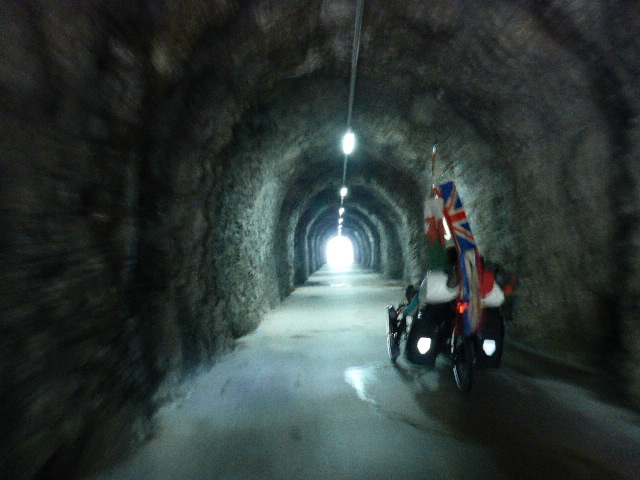
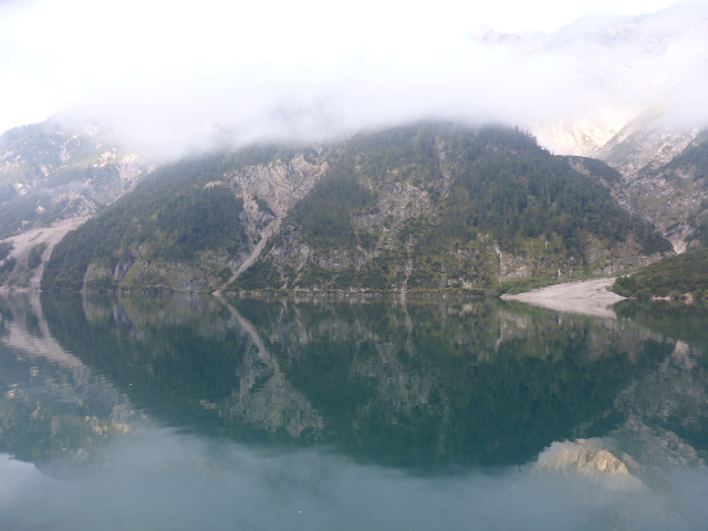
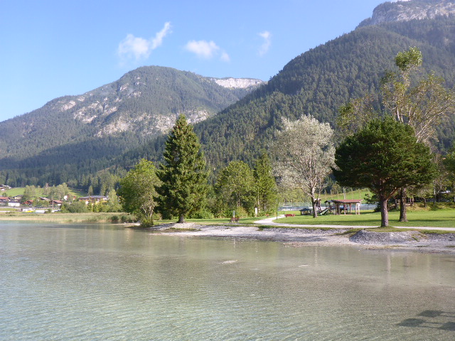
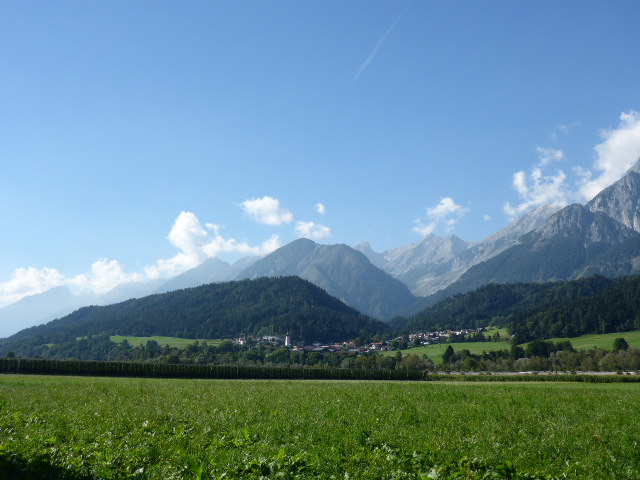
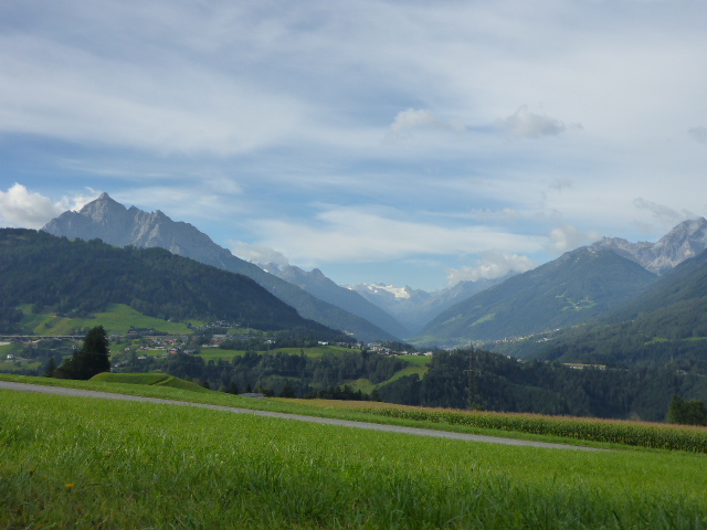
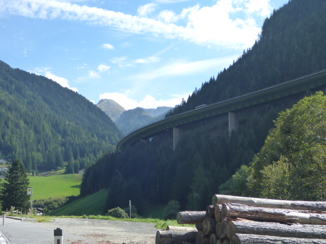
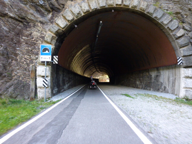
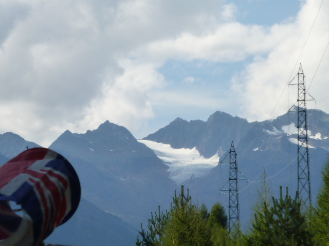
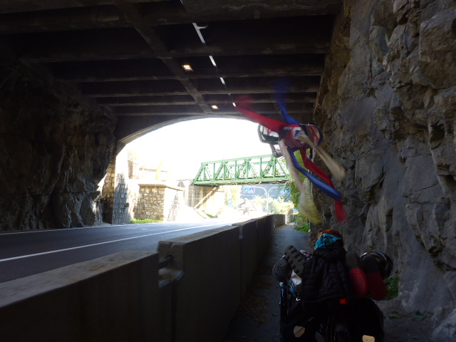
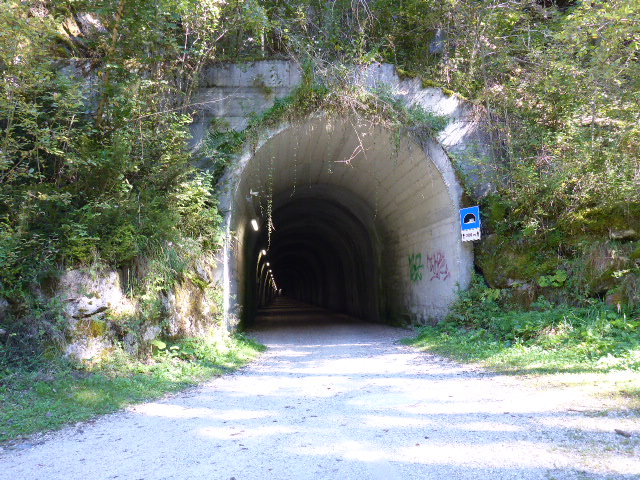
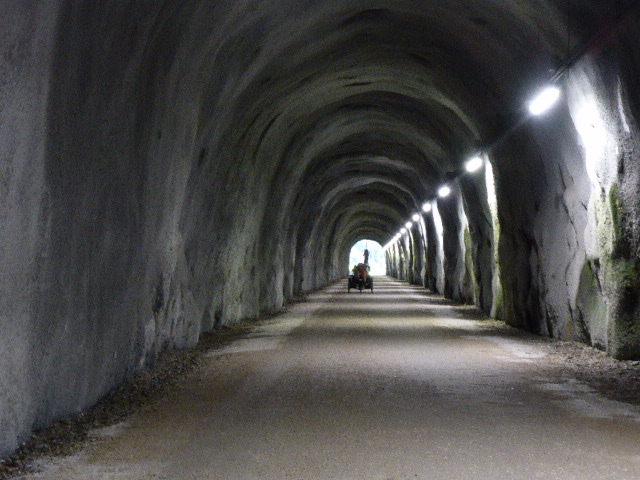
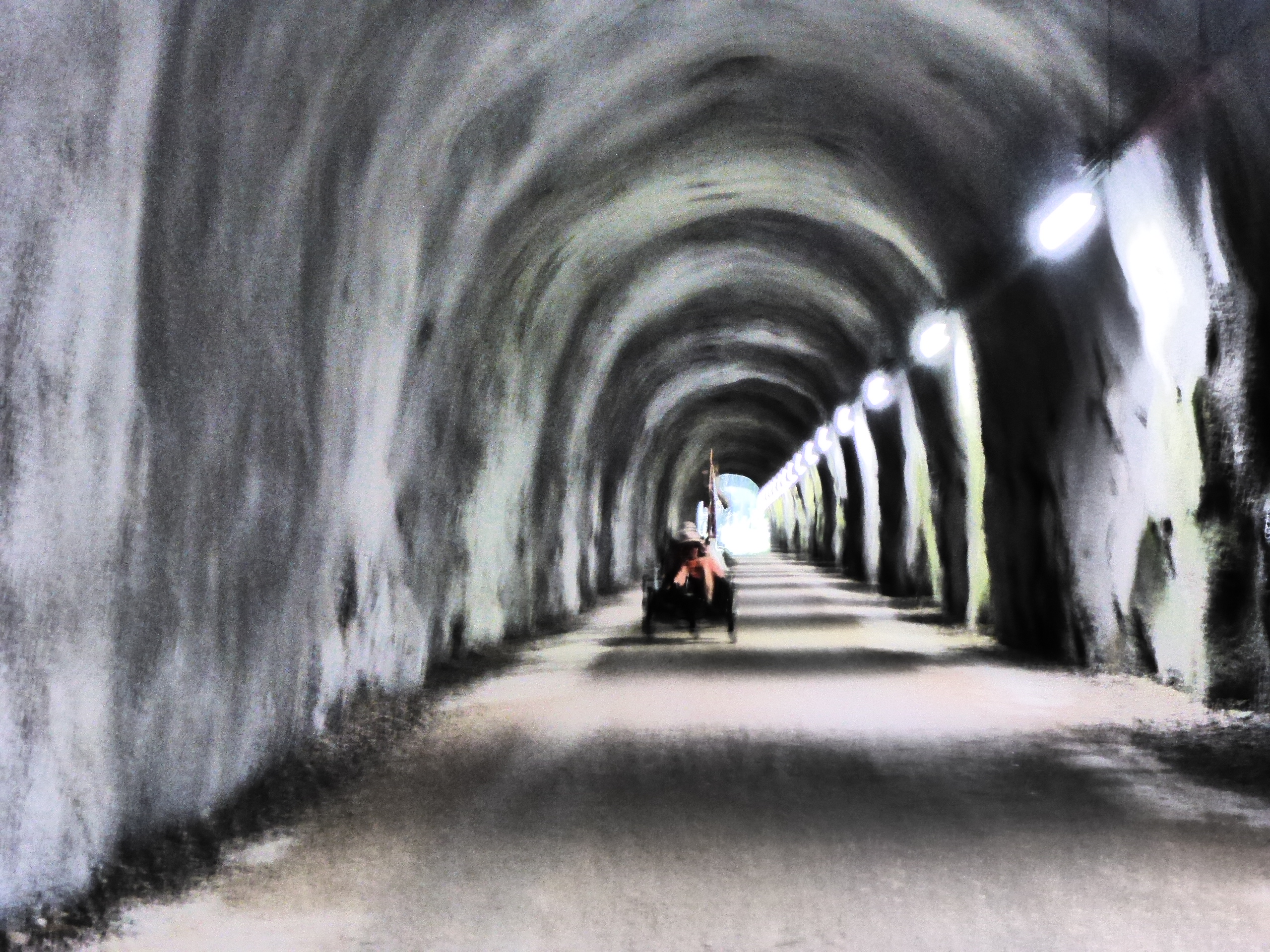
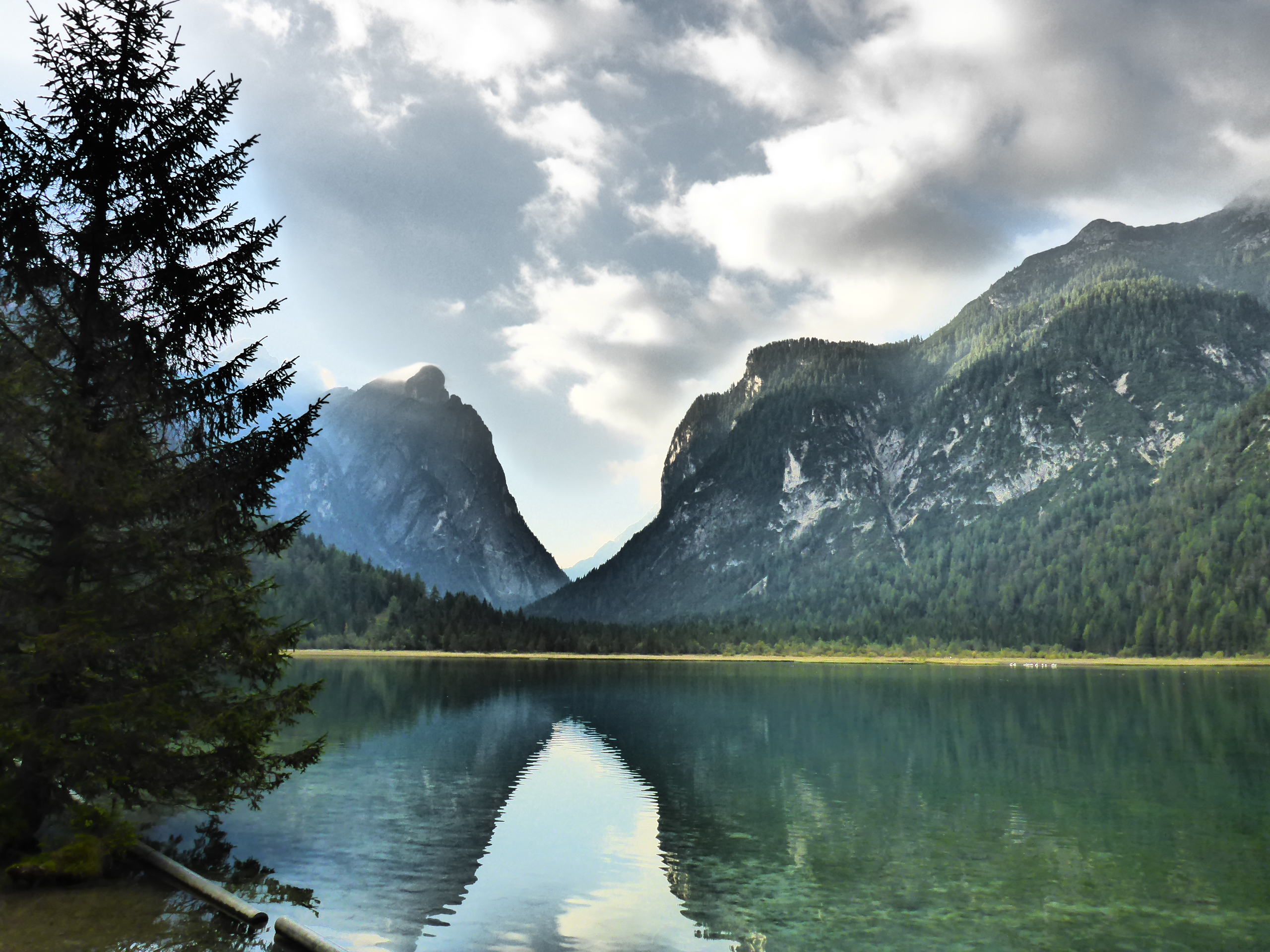
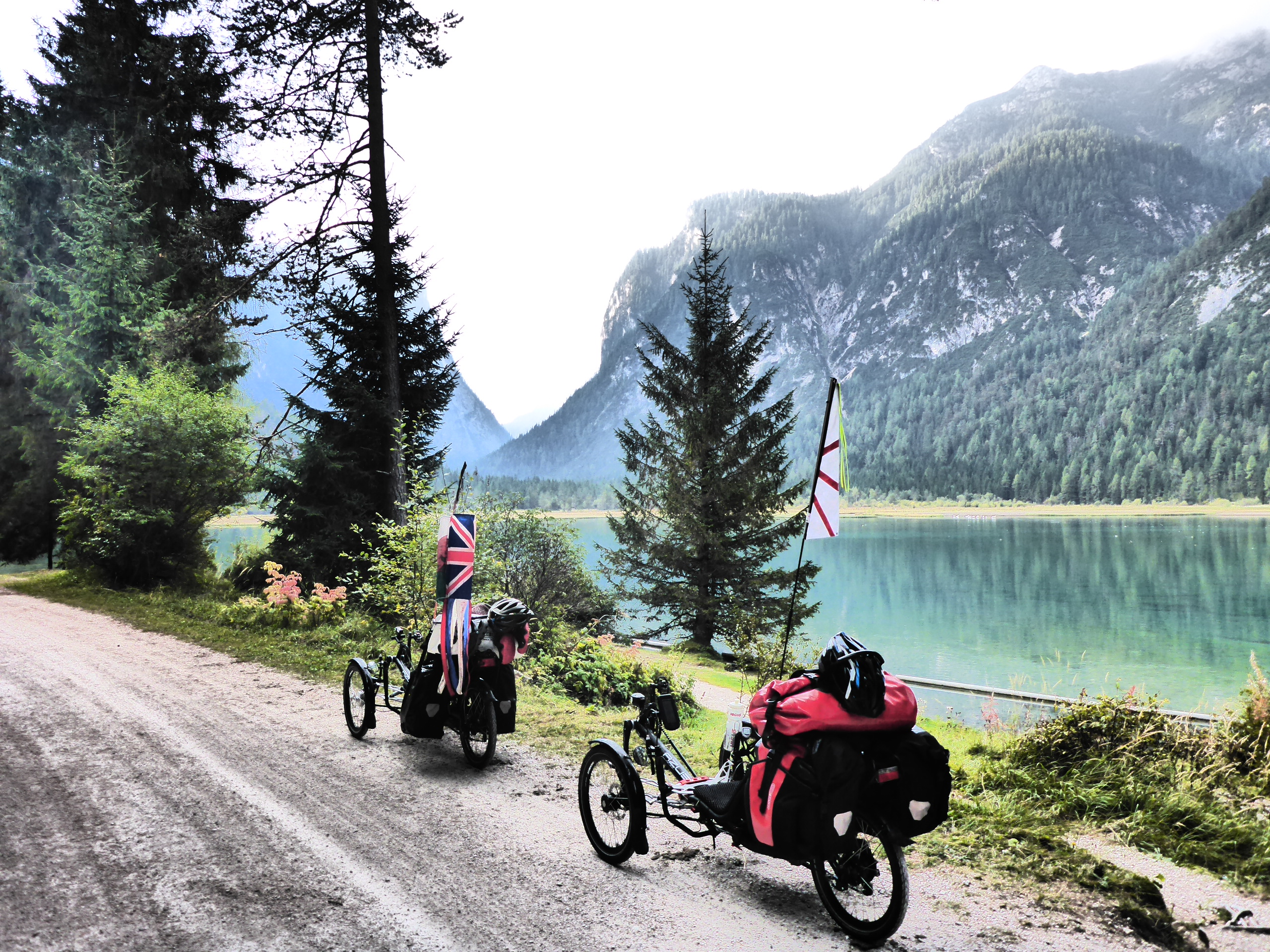
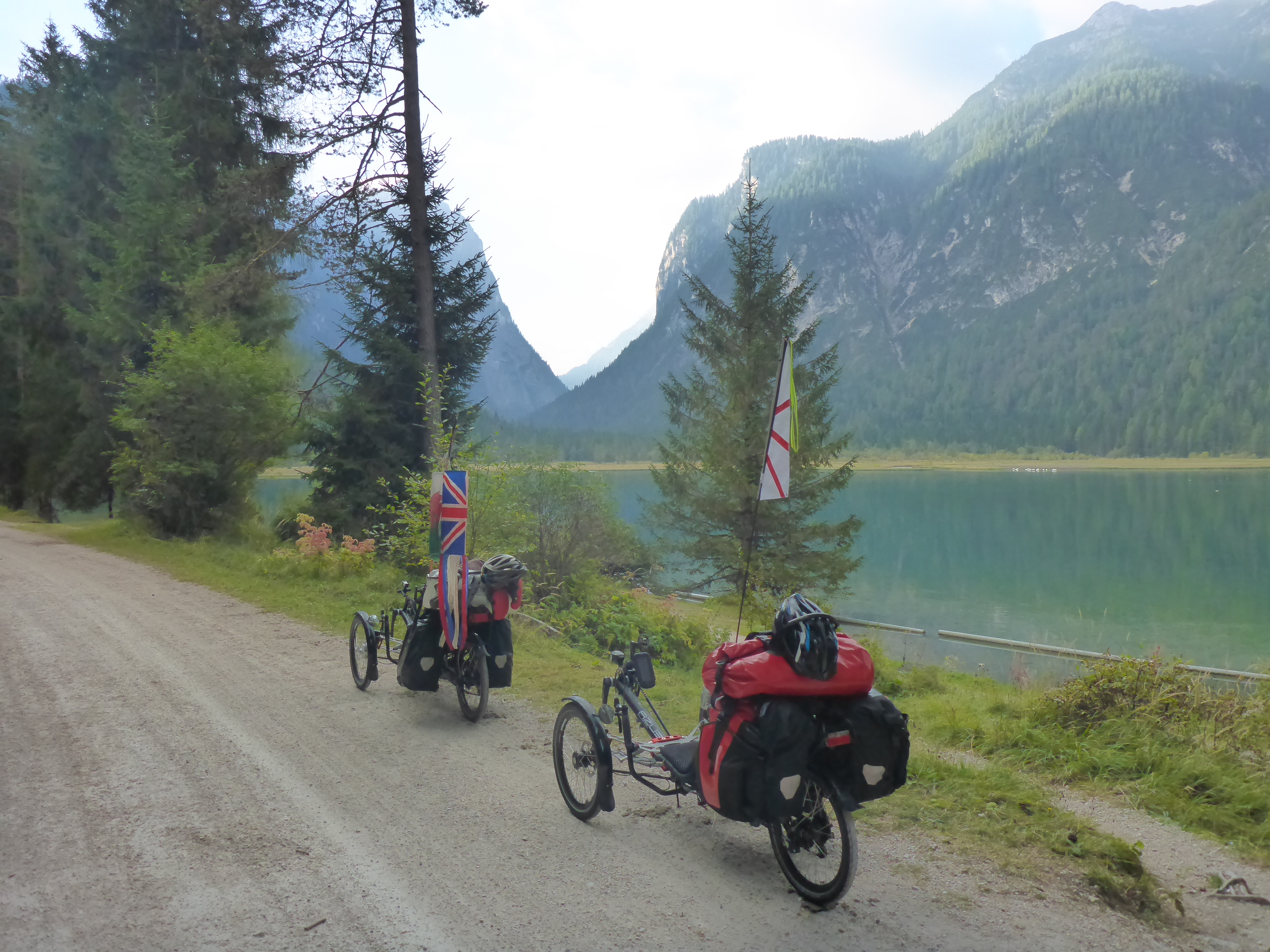
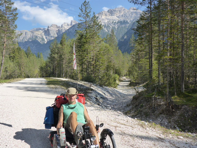
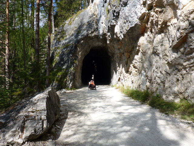
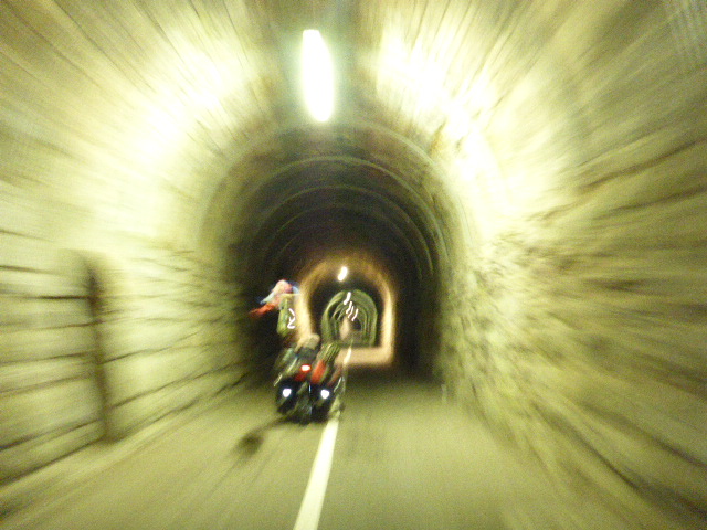
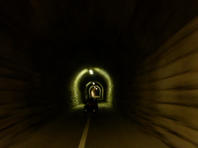
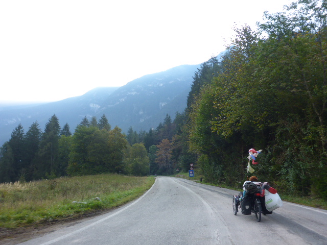
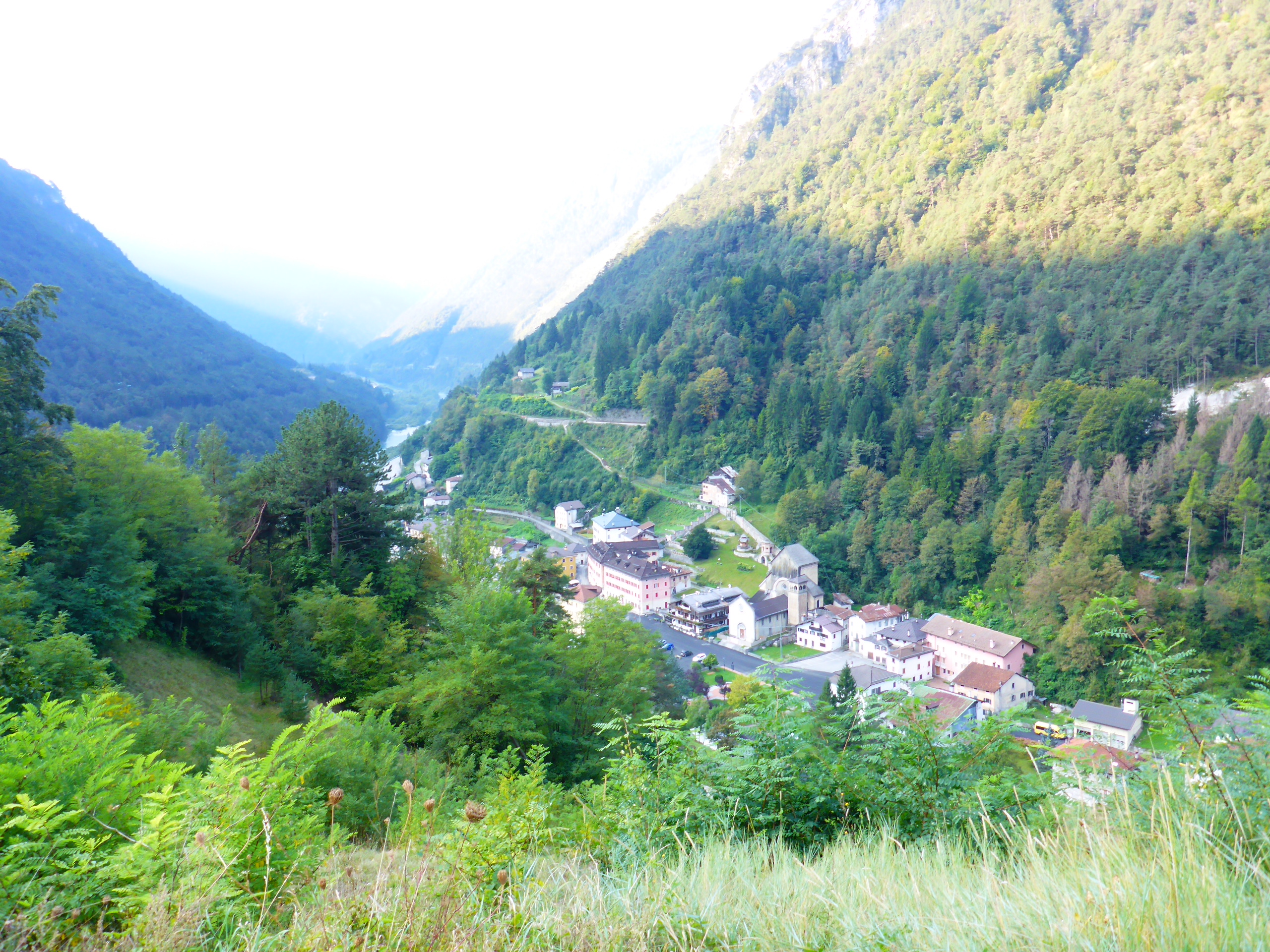
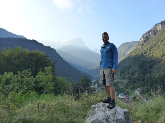
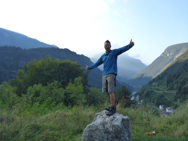
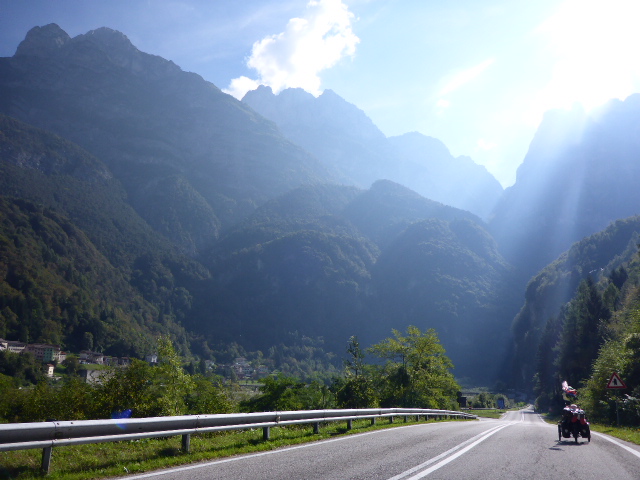
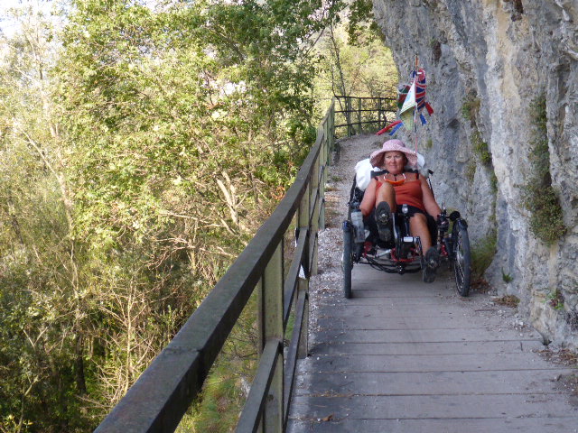
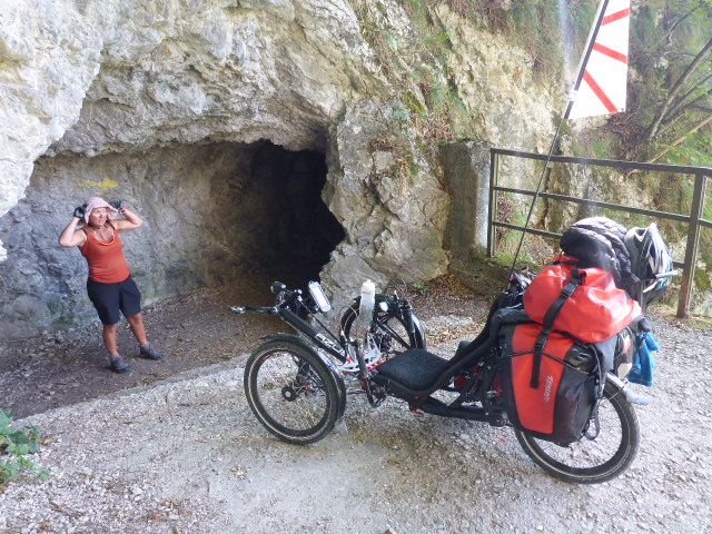
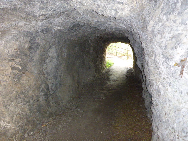
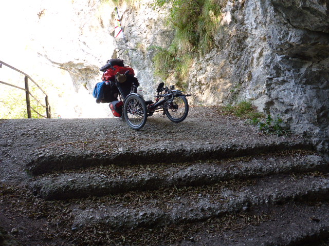
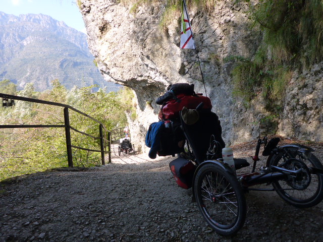
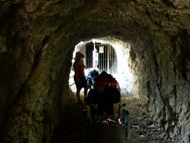
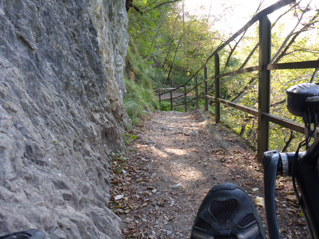
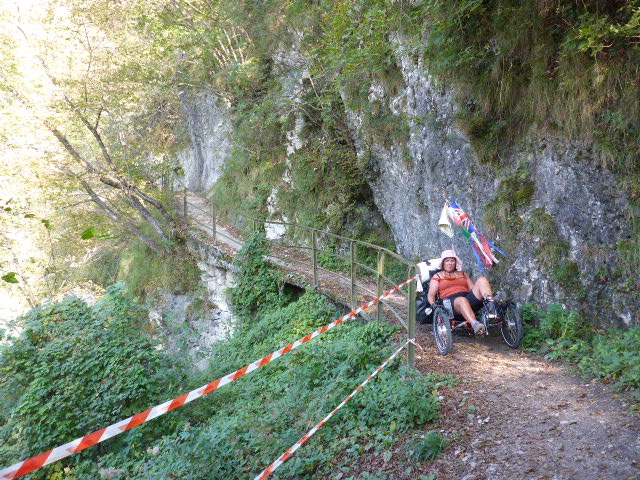
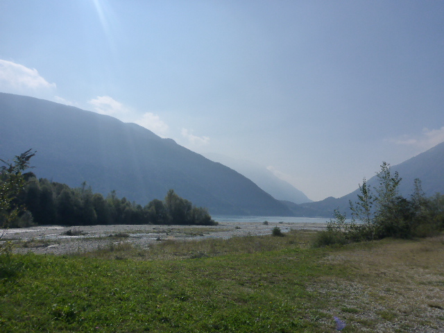
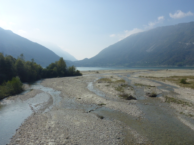
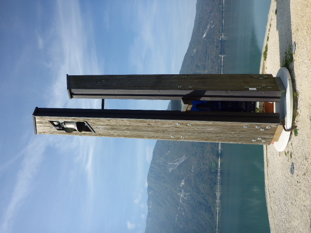
At the end we enter a short tunnel through the mountain and are welcomed the other side by spectacular views of the Sylvenstein Lake.
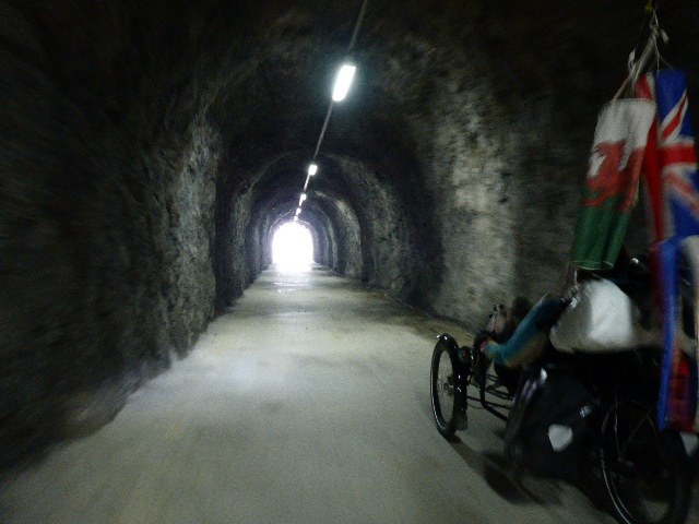
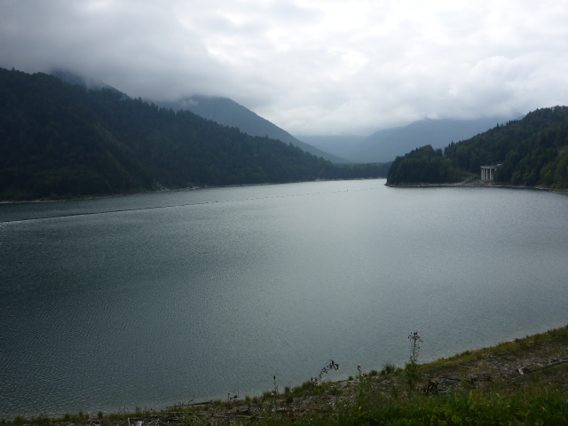
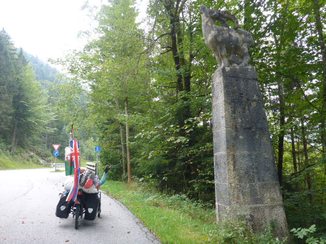
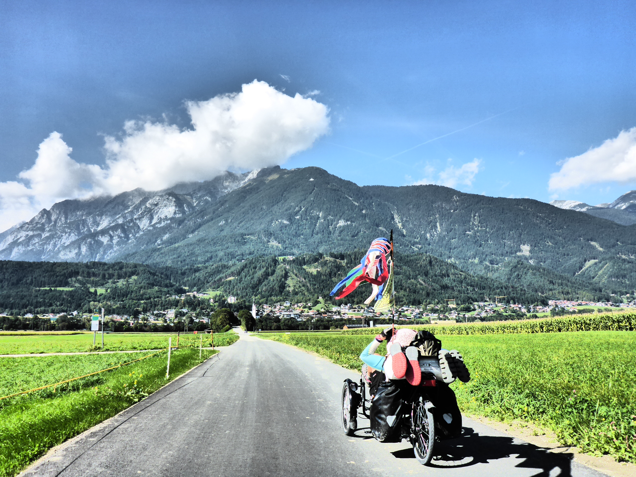
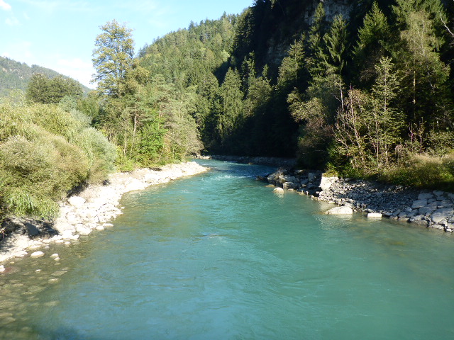
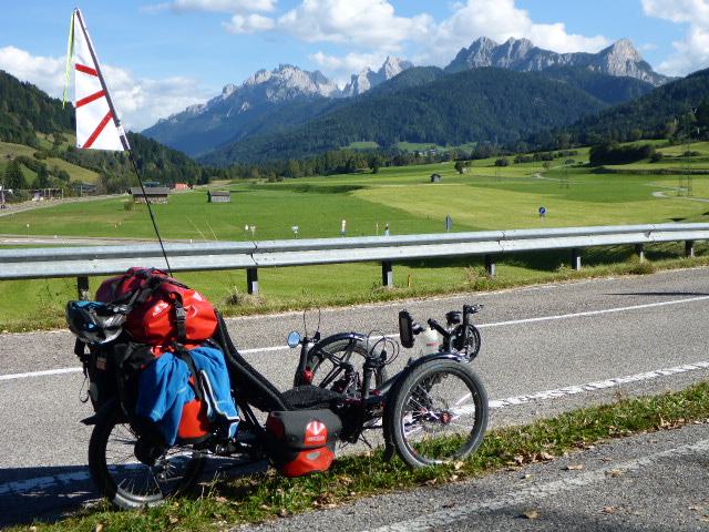
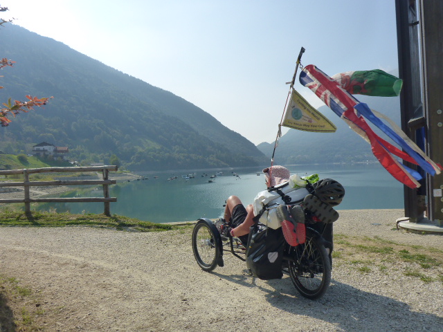
Sylvenstinsee is a picturesque artificial lake, 7km long and 2 km wide formed in 1954. It is fed by the Isar and various streams. We follow the lake and cross the border into Austria.
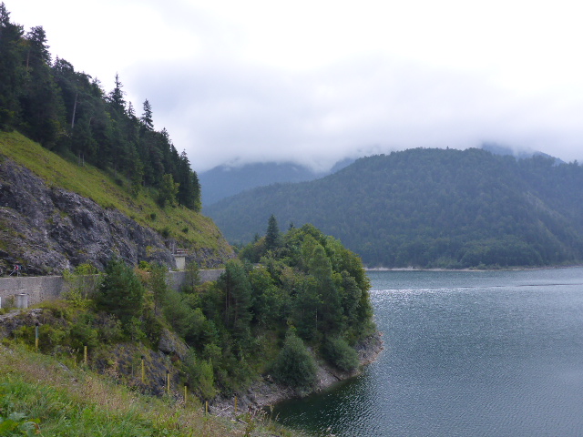
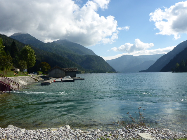
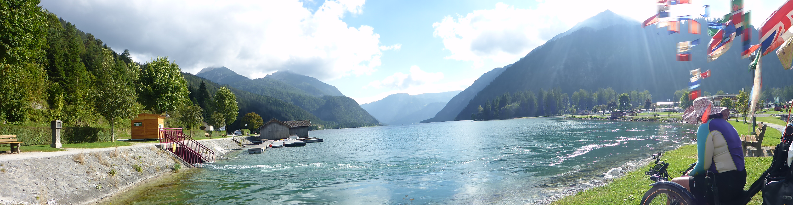
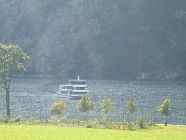
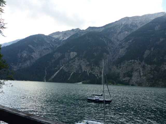
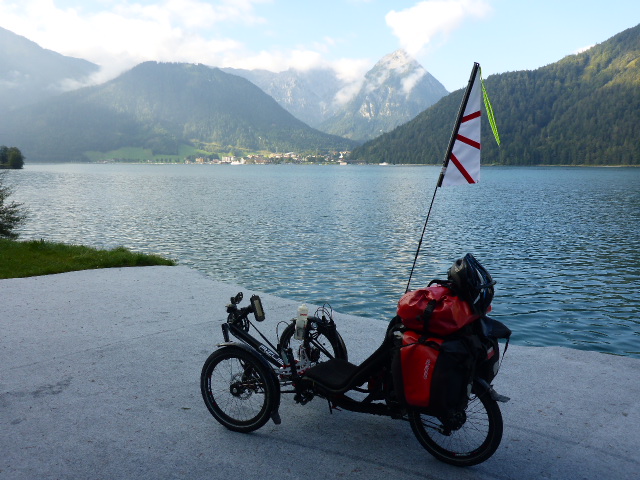
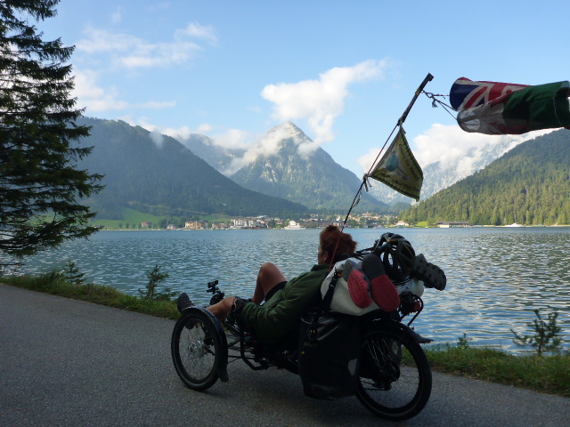
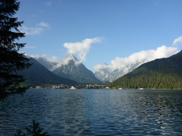
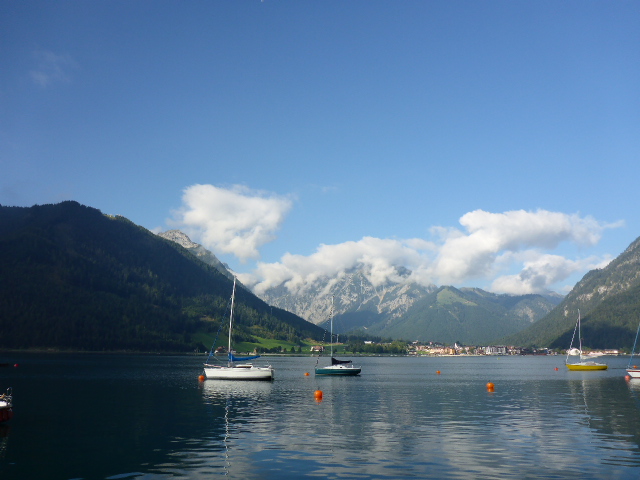
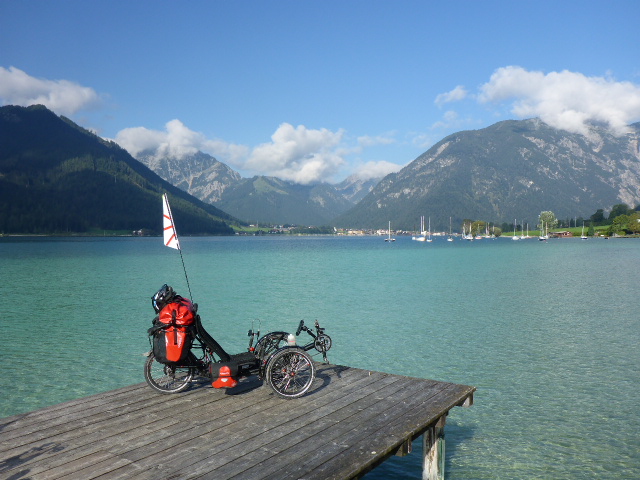
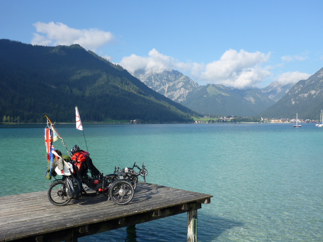
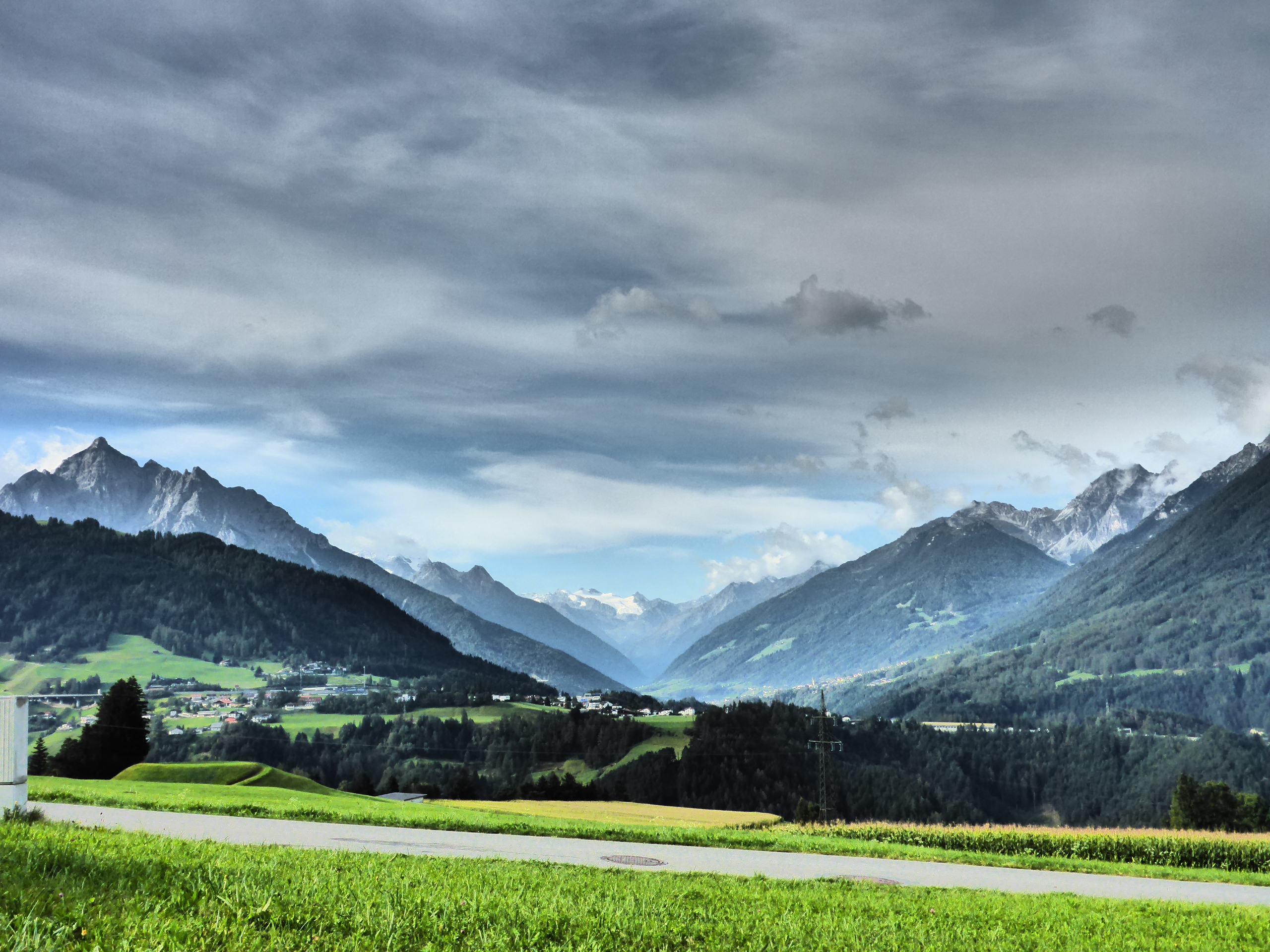
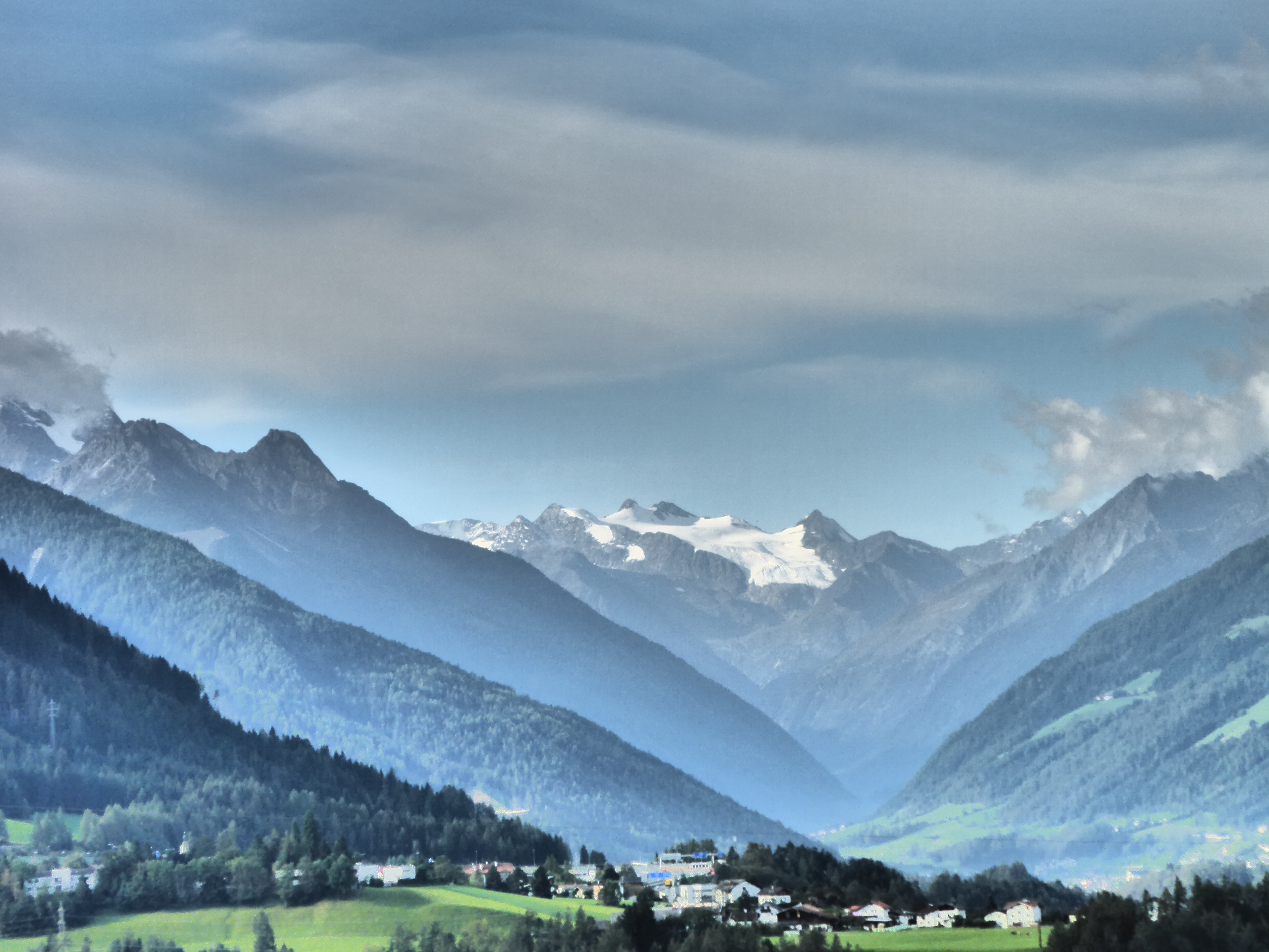
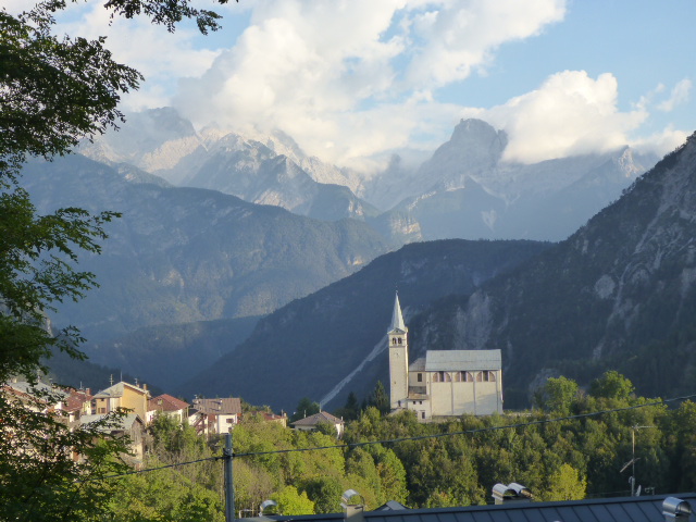
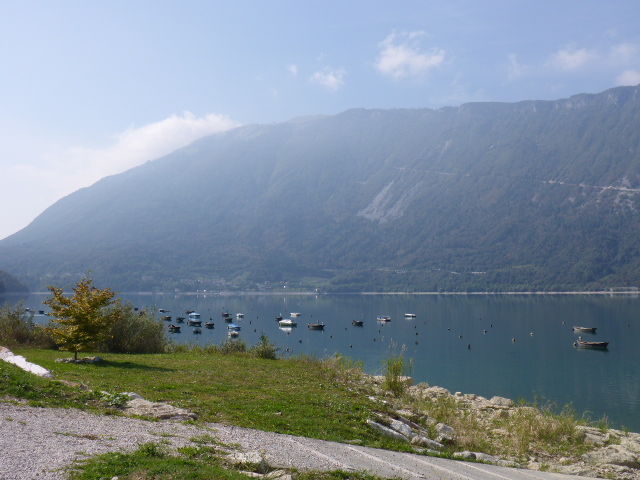
We now follow the Achen valley through Achenwald and Achenkirch before finally reaching the Achensee. This is the largest bathing lake in the Tyrol. It has earnt the title “Fjord of the Alps” not only for its elongated shape but for its universal appeal; yachtsmen appreciate the winds, swimmers the accessible banks, and nature lovers the play of colours of the transparent waters.
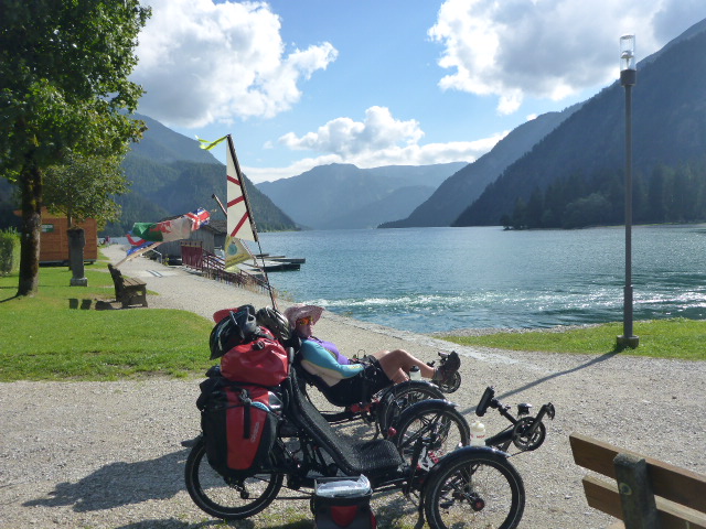
The views of the lake with the Alps beyond is so beautiful. Thankfully the dreadful weather of last weekend seems to have moved on.
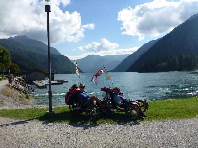
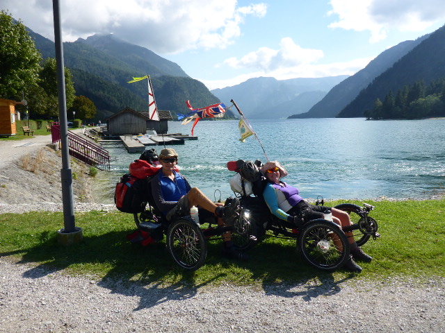

This phase of München to Venezia is called the ‘water experience ‘ we’ve followed the Isar river, admired the Sylvensteinsee and finally seen the legendary and impressive “Tyrolean Sea”, the Achen lake.
Thursday 22nd September
Achenkirch to Igls
Distance: 67.02 km
Average: 9.62 kmh
Top Speed: 46.39 kmh
Total Distance: 8034.90 km
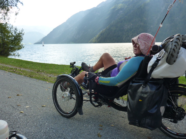
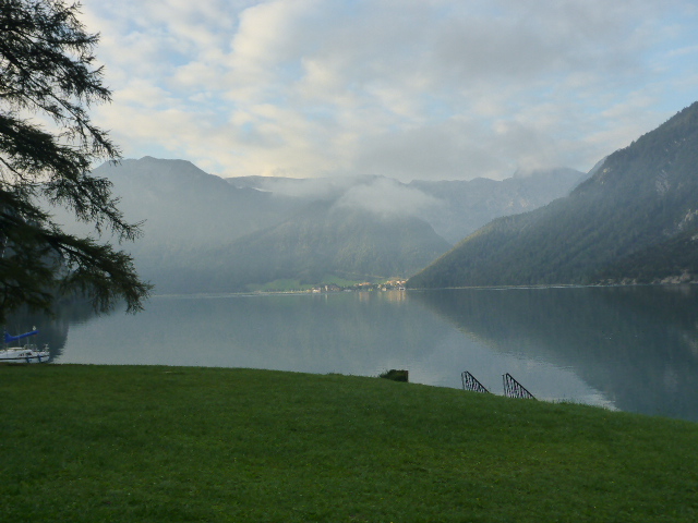
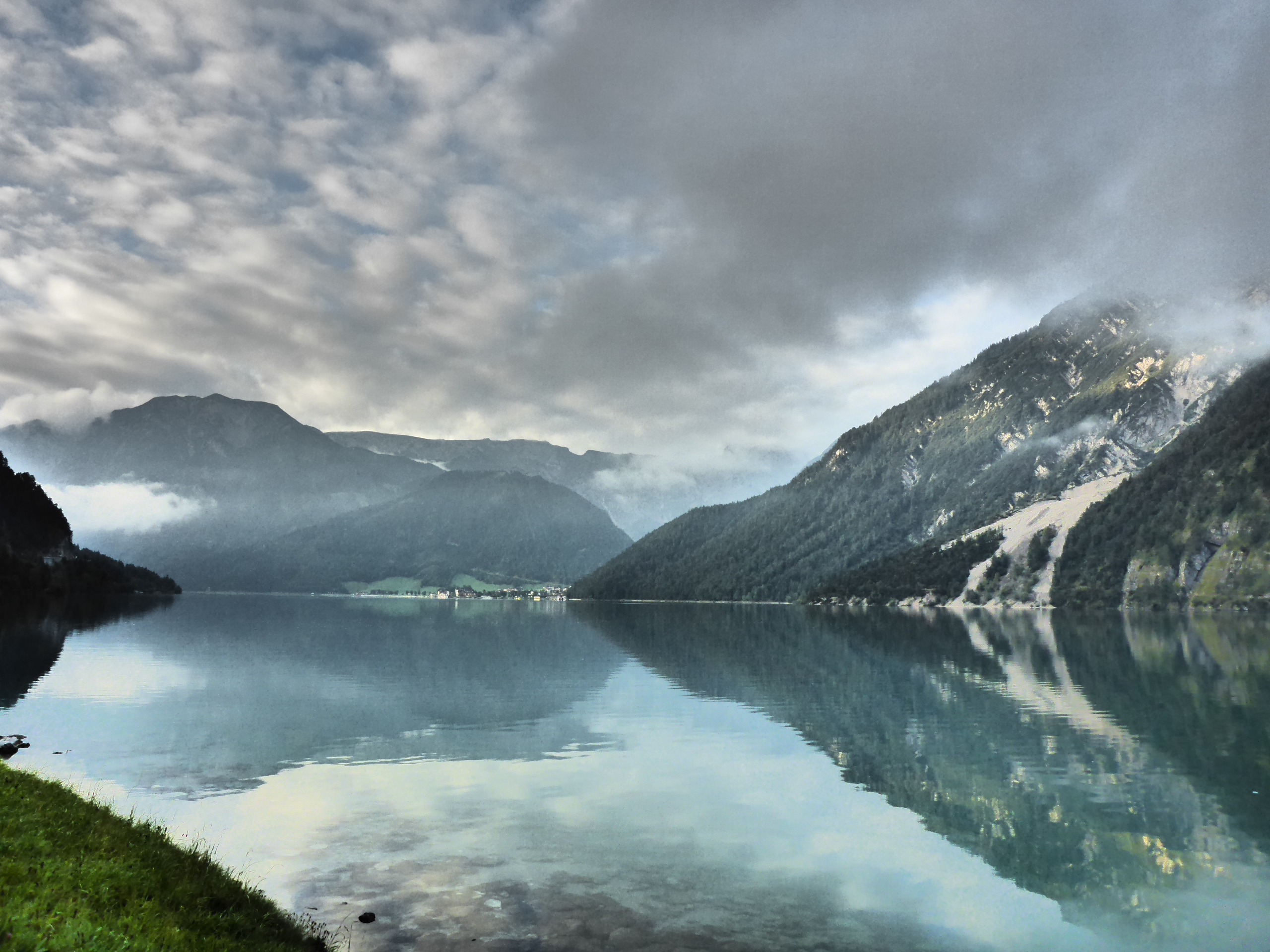
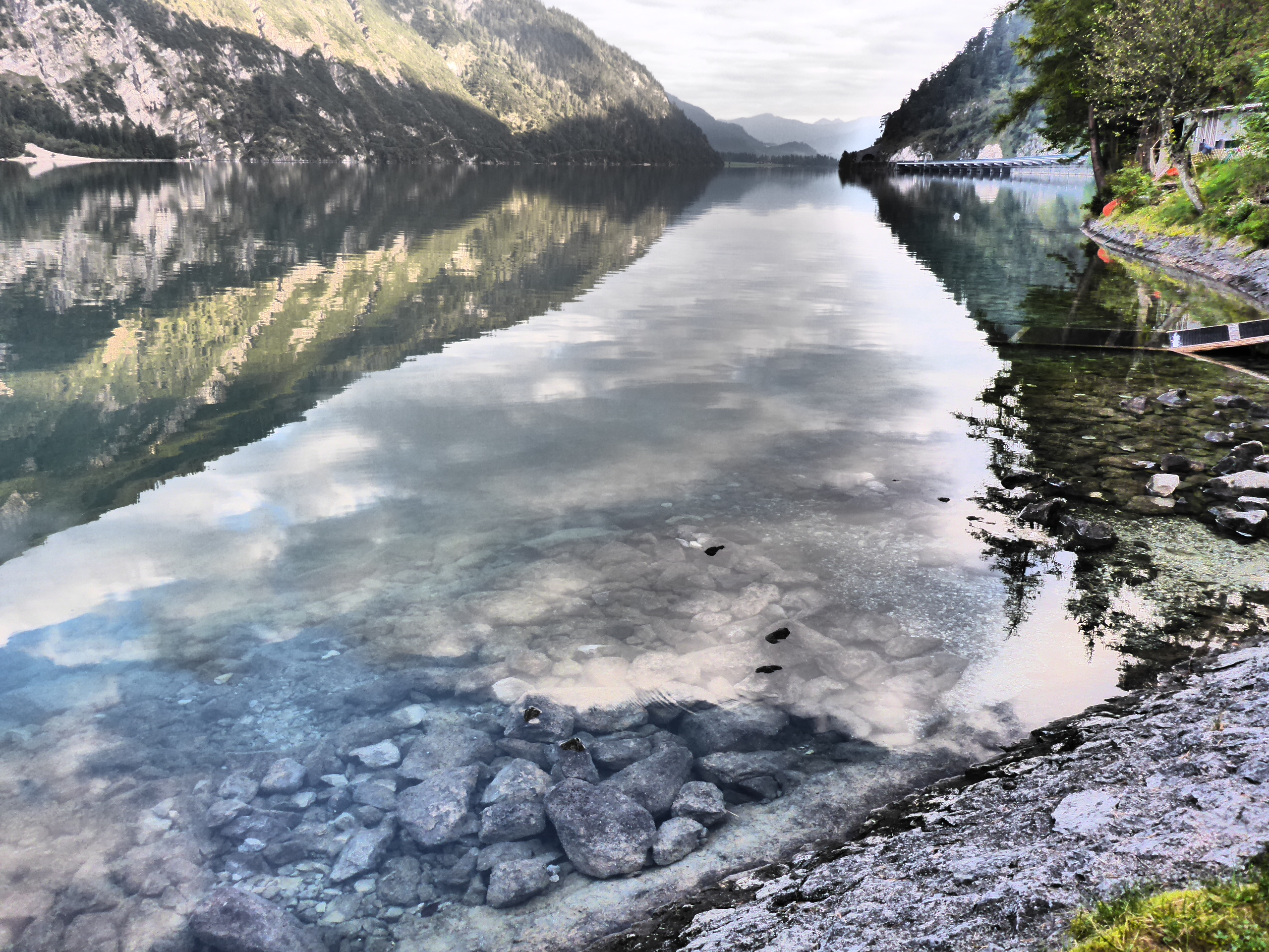
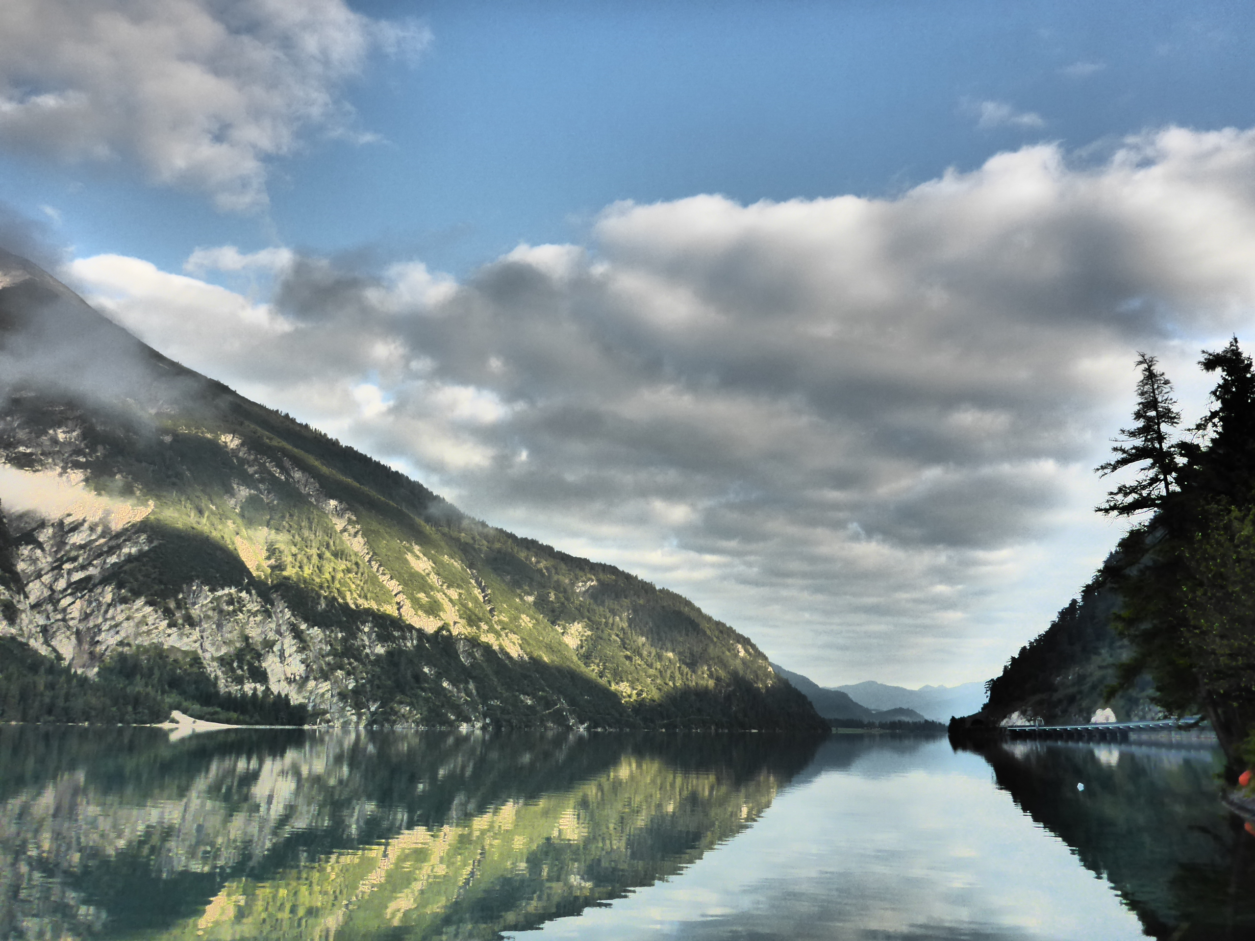
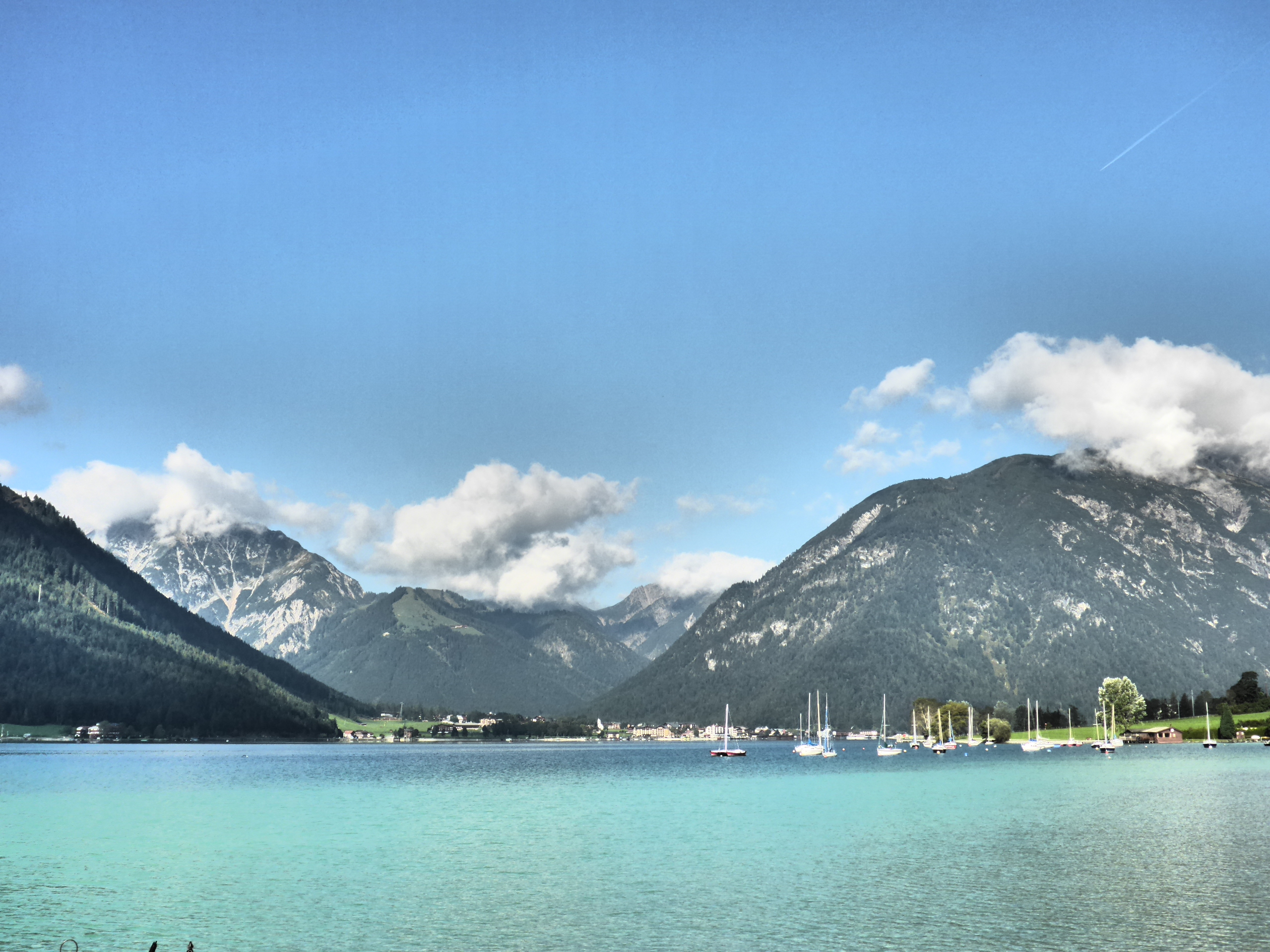
Today we wake up to lovely views across the Achensee. It’s as still as a millpond with the mountains reflected in the bluey green waters.
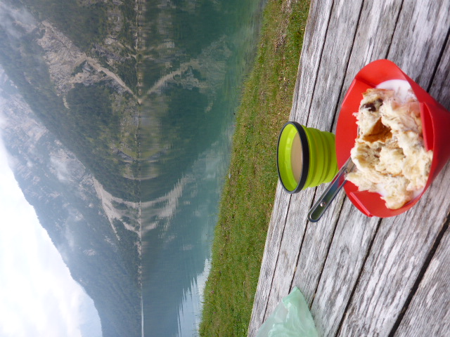
We sit and have our breakfast at the lakeside but it’s still pretty chilly – we’re just short of 1000m. Finally we decide to push on and we cycle along the lake and watch some paragliders come down at the head of the lake.
Above Lake Achen bituminous schist petroleum has been extracted since 1902 and used for the production of creams, ointments, lotions and shampoo. At the head of the lake in Maurach we see the cable car going up to Mount Rofan. We also stop before our big descent into Jenbach to watch one of the oldest steam cog, single gauge trains come up through the valley.
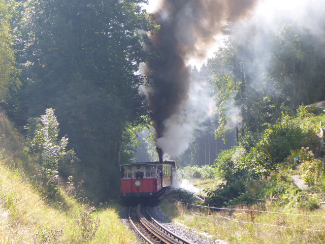
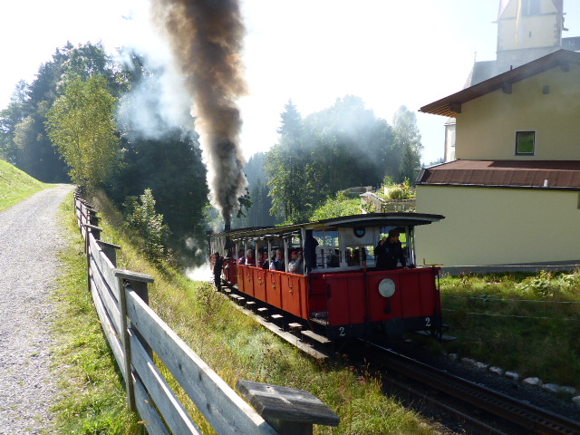
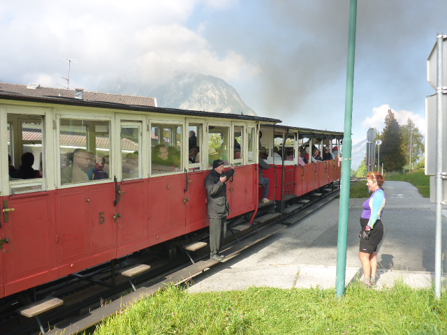
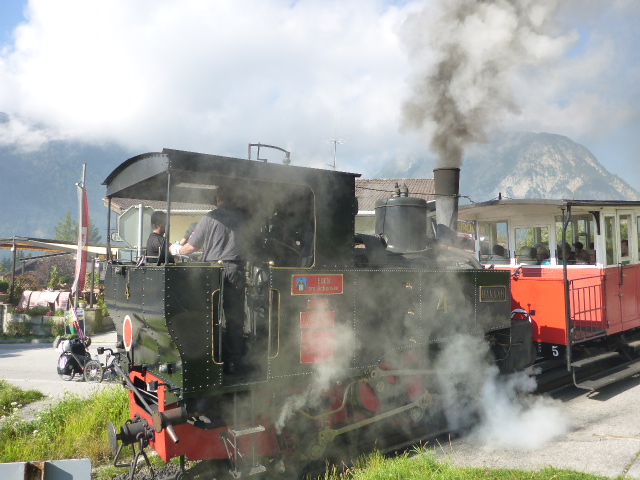
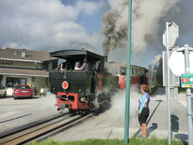
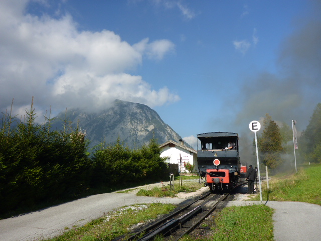
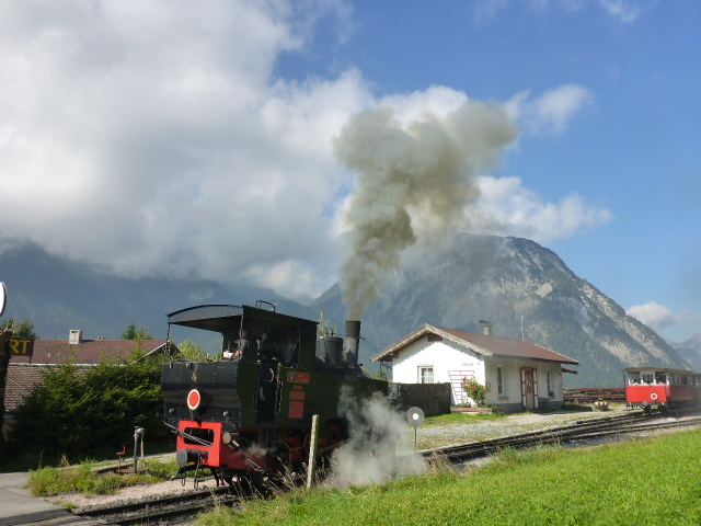
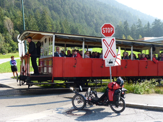
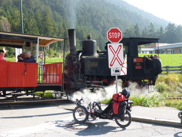
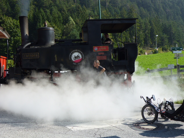
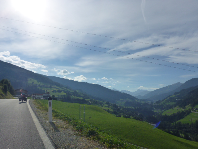
We can hear its distinctive chuffing and then clouds of smoke rising above the trees long before the train appears. The engine has been pushing the 2 coaches up the steep hill but just after the final rise, the coaches pull into a siding so the engine can go to the front. A second train is not far behind. Having enjoyed the steam trains there’s a long, steep, gravelly descent for us into Jenbach. Jenbach has a famous railway. It has 3 railway lines with different gauges, normal (1435mm) of the OBB, the Austrian railways, the metric one (1000mm) of the Achensee railway and the Bosnian one (760mm) of the Zillertal railway. After a quick coffee break in Jenbach we follow the river Inn to Innsbruck.

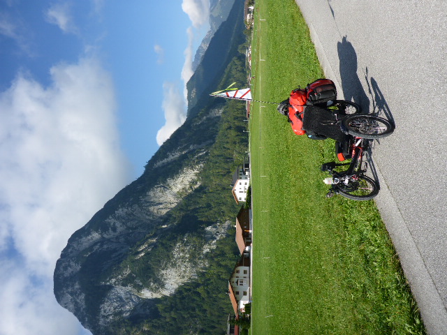
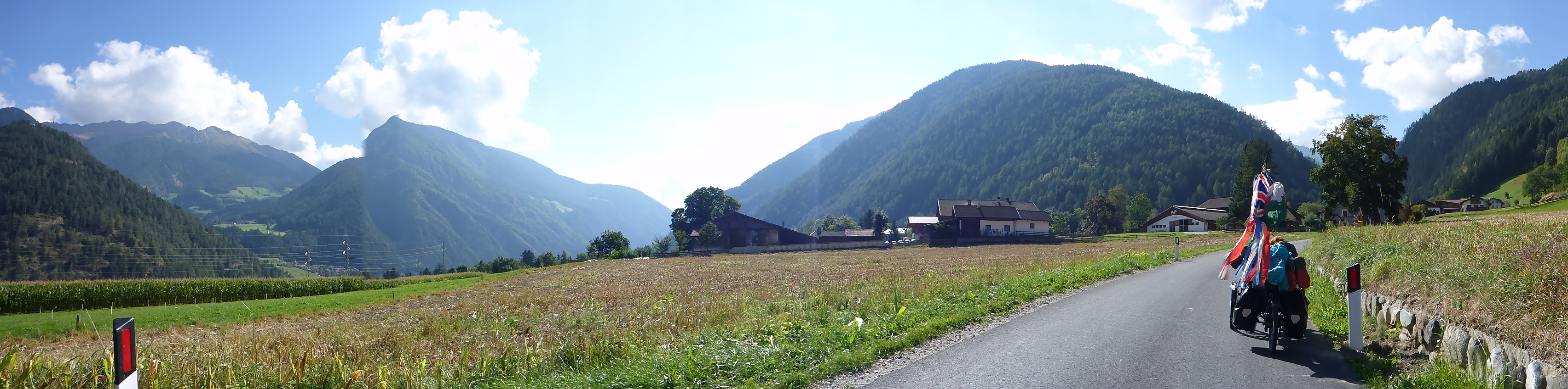
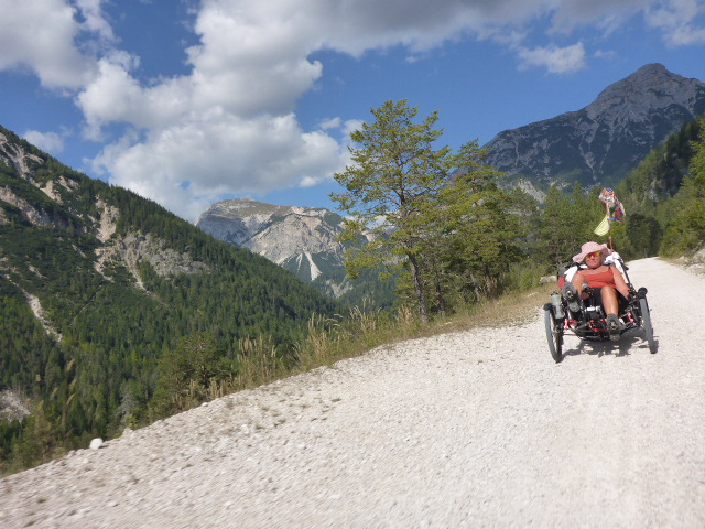
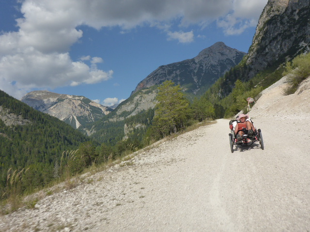
There are so many places we could visit along this route but we decide to push on. It’s enough to be cycling along the Inn valley, with blue skies, mountains rising either side and beautiful green alpine meadows up on the hillsides.
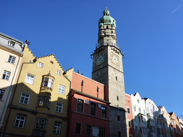
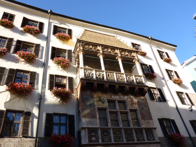
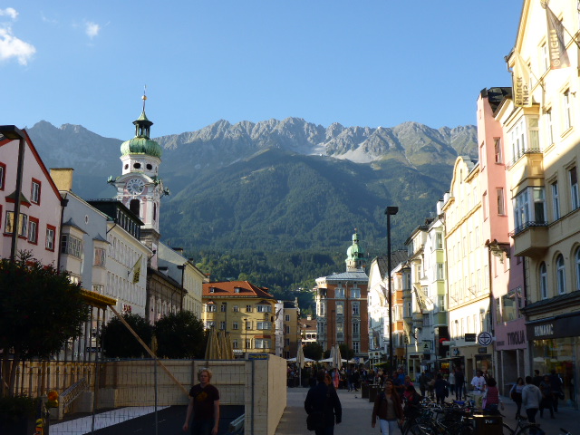
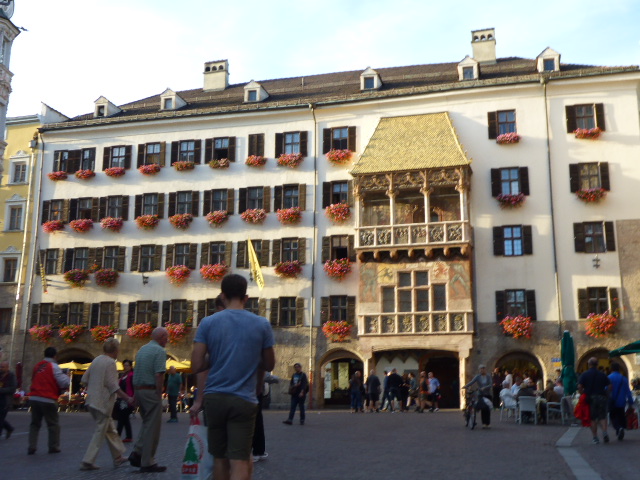
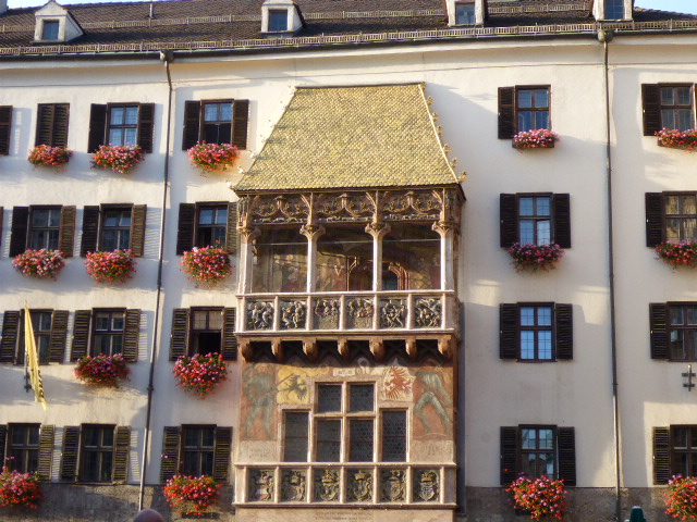
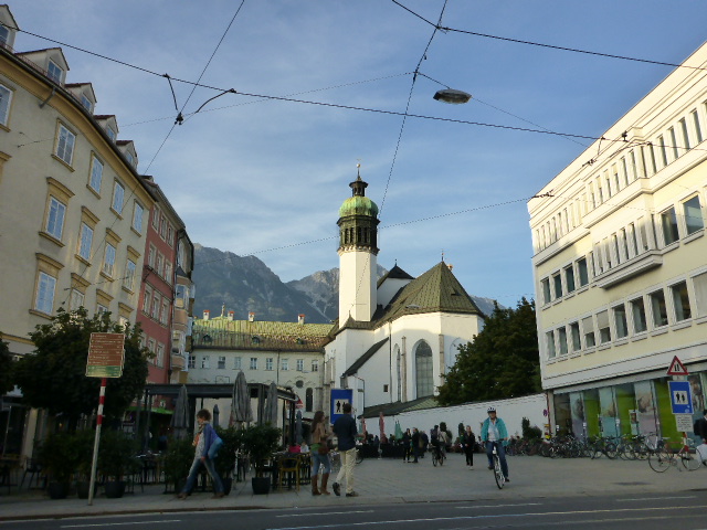
In Innsbruck we head into the centre just to admire the beautiful buildings especially the Goldenes Dachl (Golden roof). This is one of the many marks left by Kaiser Maximilian I on the facade of the Palace of the Counts of Tyrol. It is covered by 2657 fire-gilded copper tiles.
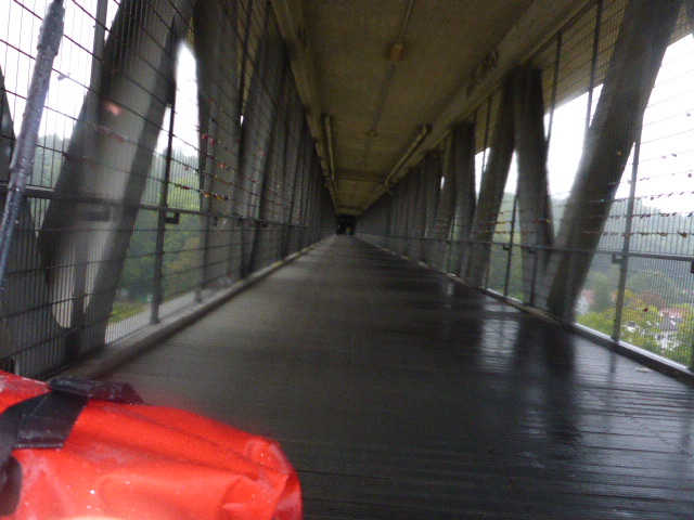
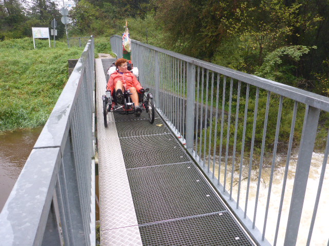
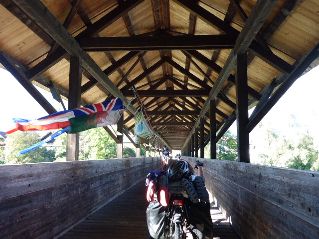
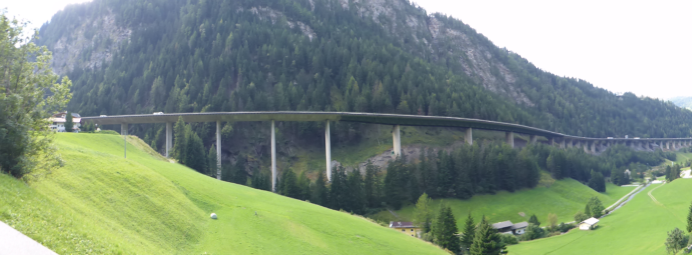
After cycling through Innsbruck we head off. We’re heading to the Brenner Pass and that’s 1000m height gain over 39km. Apparently this is only for the most committed and willing cyclists! Not sure that’s me TBH! But first there’s some confusion on the correct route out of Innsbruck. We end up having to cross a footbridge. Daz has to manhandle the bikes up the metal wheelchair slots, the bikes are heavy and he is soon puffing and grunting. I of course would help, but then who would take the pictures!?
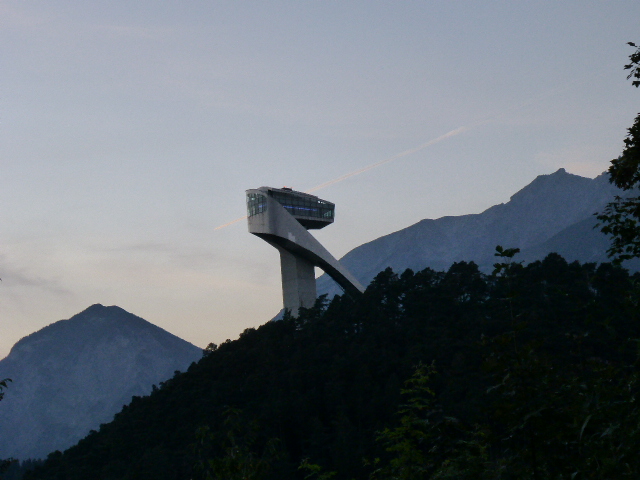
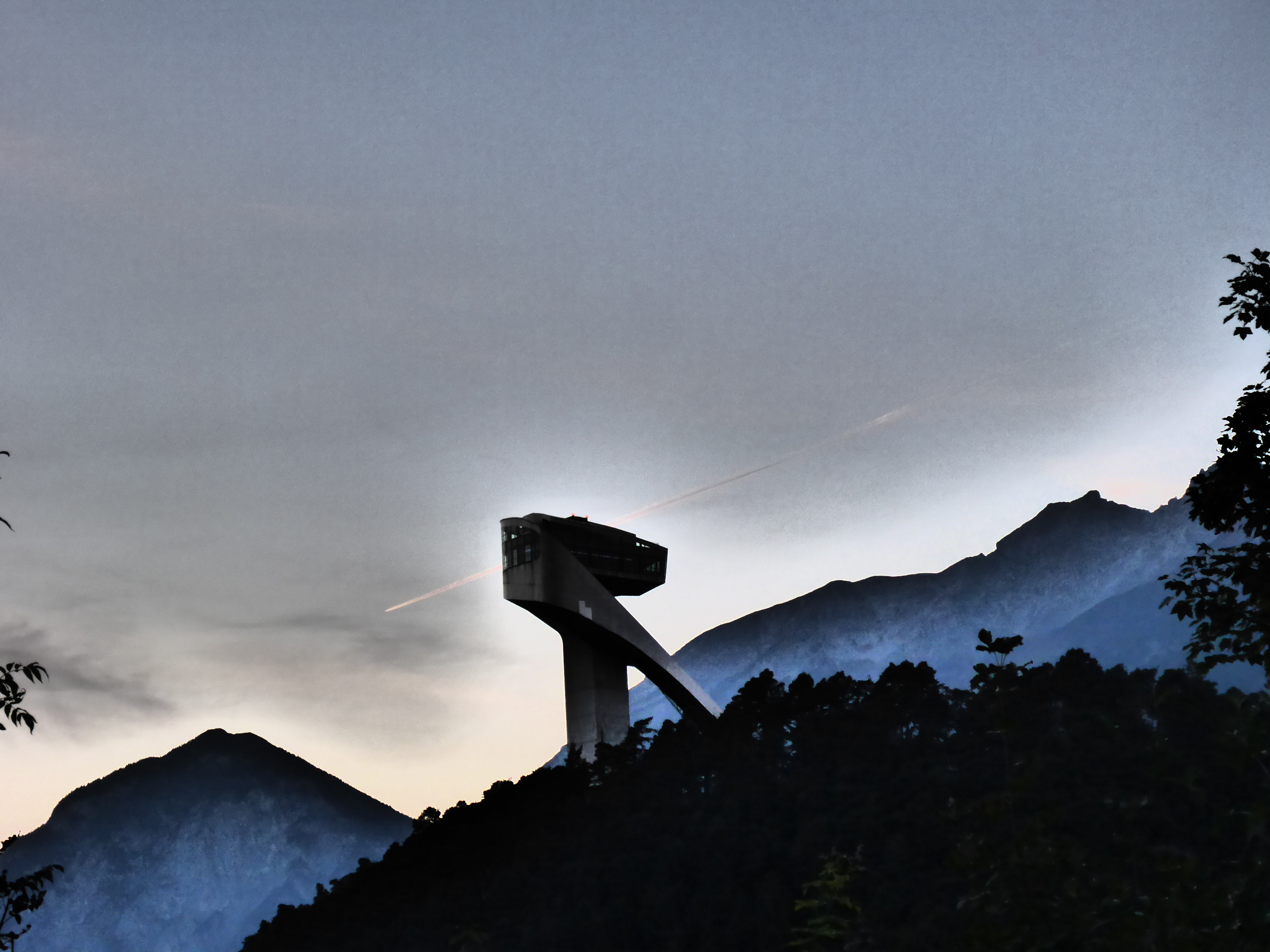
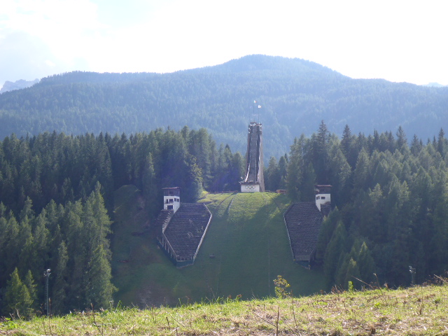
Anyway tonight we’re staying in Igls so we have a taster with the first 5km climb out of Innsbruck. It’s very tough but the views as night falls are very pretty and we have a great view of the famous Olympic trampoline built in the 1930s but was recently restored. No idea why it’s called the Olympic trampoline, looks nothing like one!
Friday 23rd September
Igls to Vipiteno
Distance: 59.19 km
Average: 8.96 kmh
Top Speed: 49.55 kmh
Total Distance: 8094.09 km
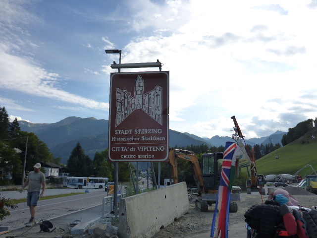
Today we need to push on to the Brenner Pass and it actually goes surprisingly well. We follow the ancient salt road, which led from Hall in Tyrol to Matrei am Brenner, along the eastern part of the Wipptal.
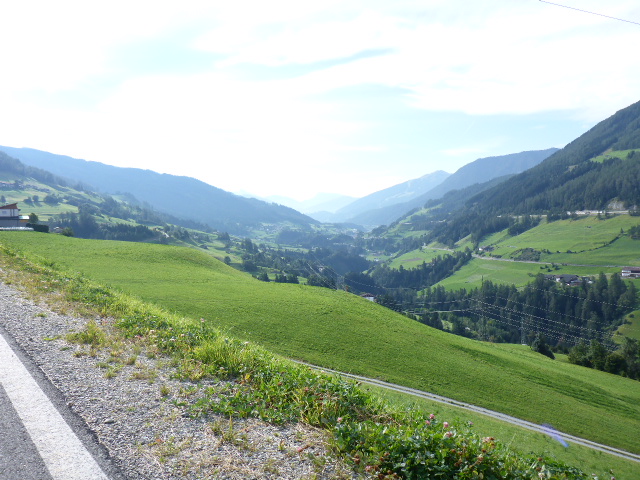
We cycle through Marei am Brenner with its beautifully decorated houses and look at a valley opening up on our right which is the Stubai valley. We’ve skied up there, Neustift, on the glacier with the AGC.
We follow the Sill river for many kilometers before finally joining a main road for the last push.
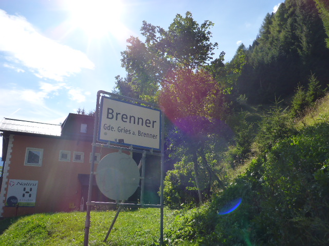
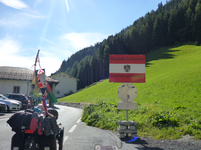
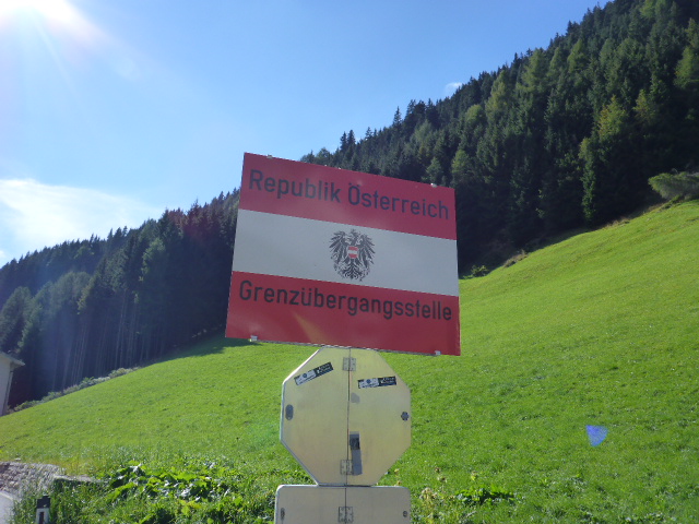
Unfortunately the Brenner Pass is a huge disappointment ; we were expecting panoramic views of Austria and Italy but it’s just a shoppers mecca – there’s an outlet centre on the Austrian side, we assume it’s cheaper there for the Italians.

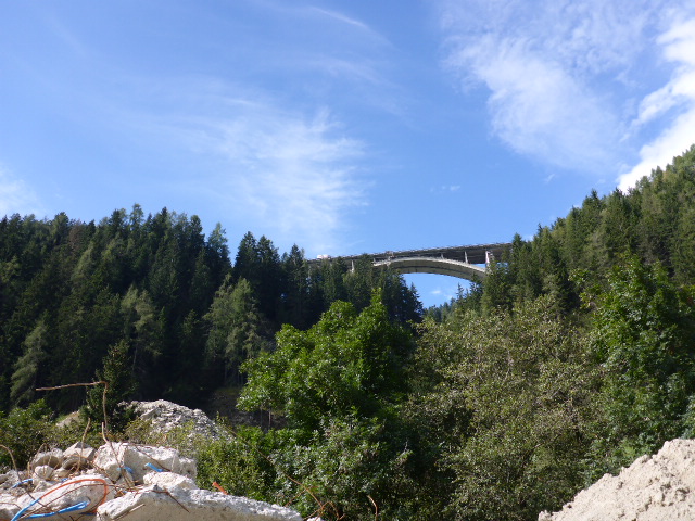
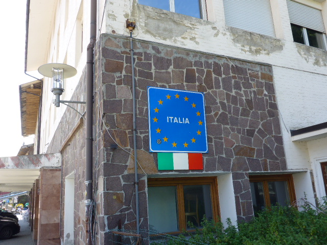
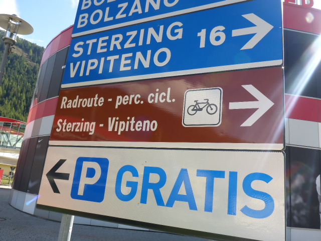
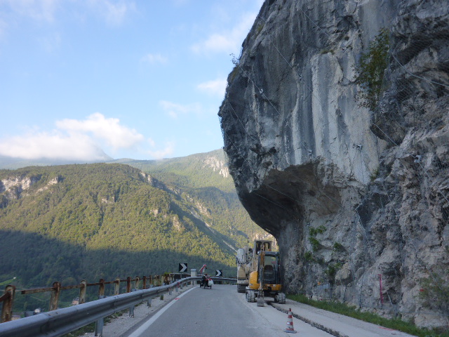
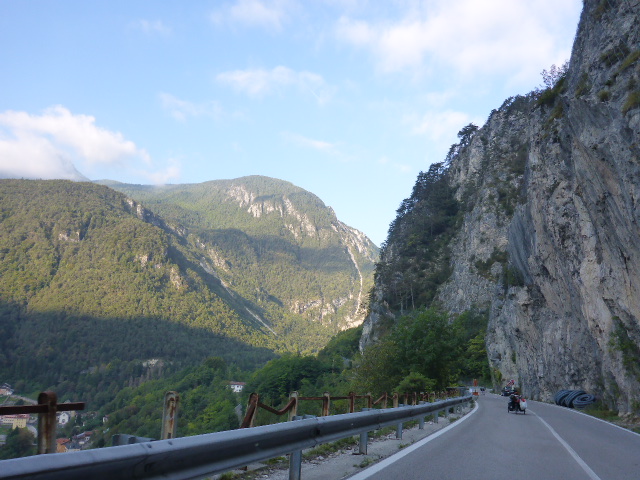
We cross over the border and start a long and wonderful descent in the Isarco Valley, along an old railway track.
We pass through Colle Isarco which was an important silver mining area for centuries. We then cross into the Fleres Valley and it’s not long before we call it a day.
Saturday 24th September
Vipiteno to San Sigismundo
Distance: 47.67 km
Average: 10.77 kmh
Top Speed: 47.54 kmh
Total Distance: 8141.76 km

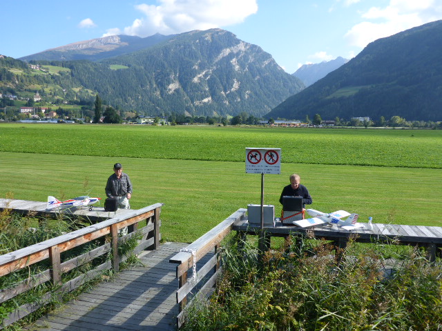
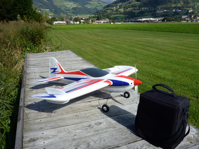
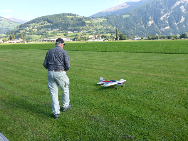
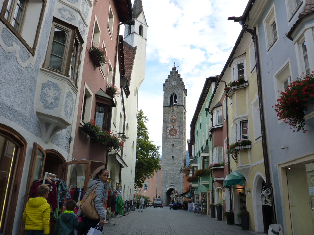
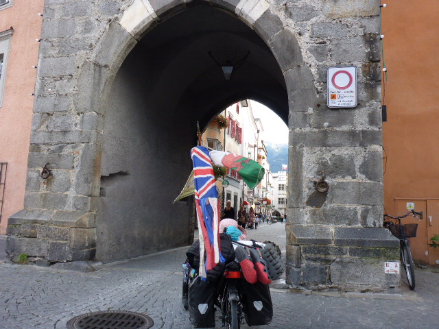
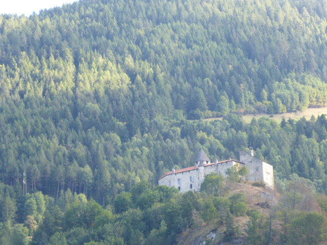
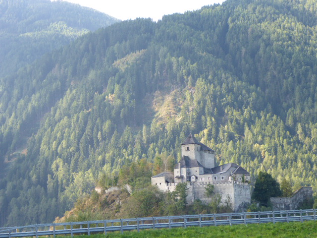
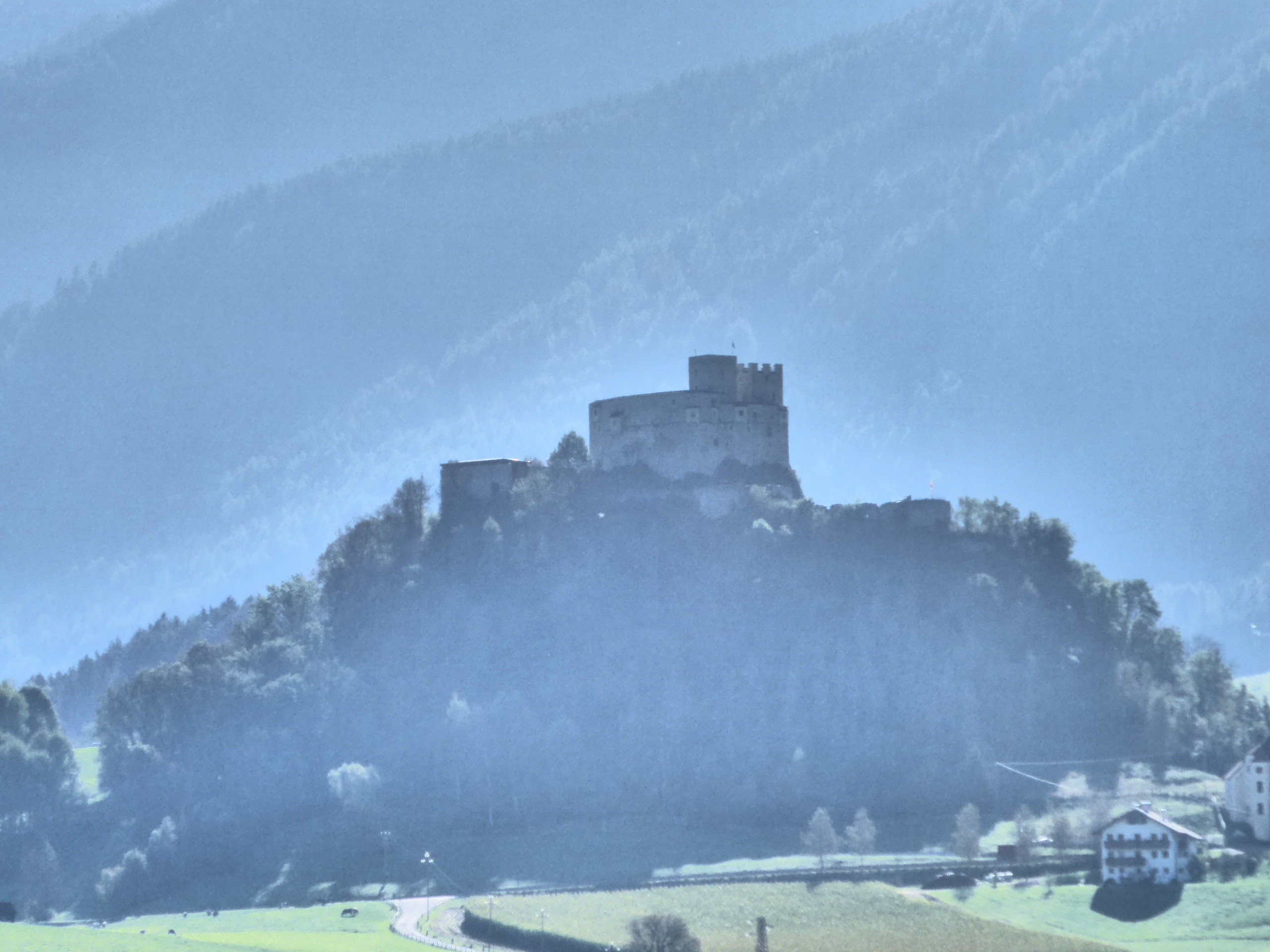
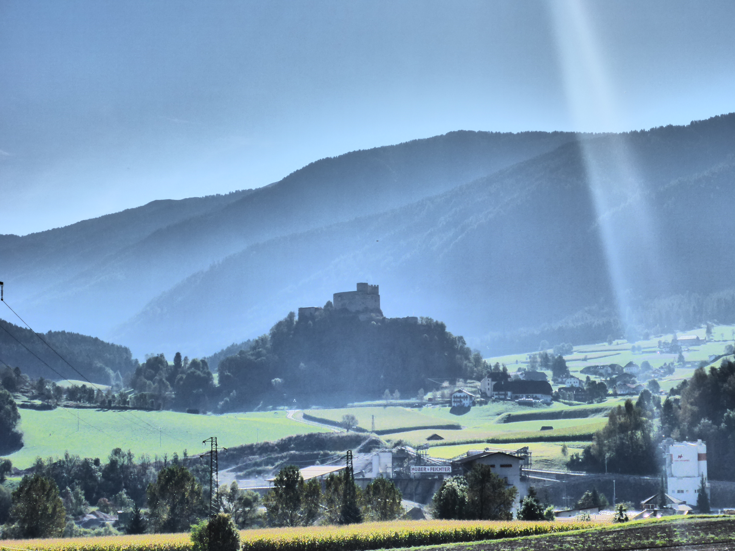
This morning as we leave Vipiteno we stop to watch some men flying their radio controlled aeroplanes and then we pass Tasso castle and then Pietra castle. We’re still cycling through the Isarco Valley enjoying both woodlands and Alpine meadows.
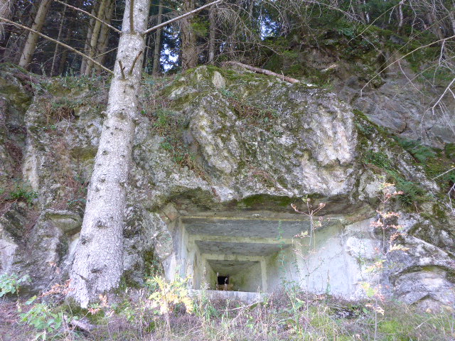
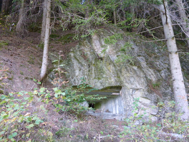
Daz spots a couple of WW2 gun emplacements, hidden in the treeline but covering the valley.
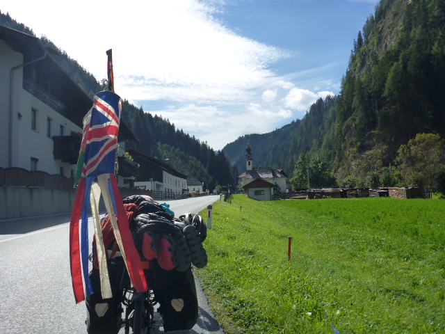
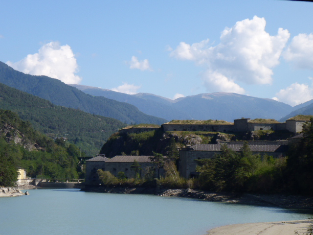
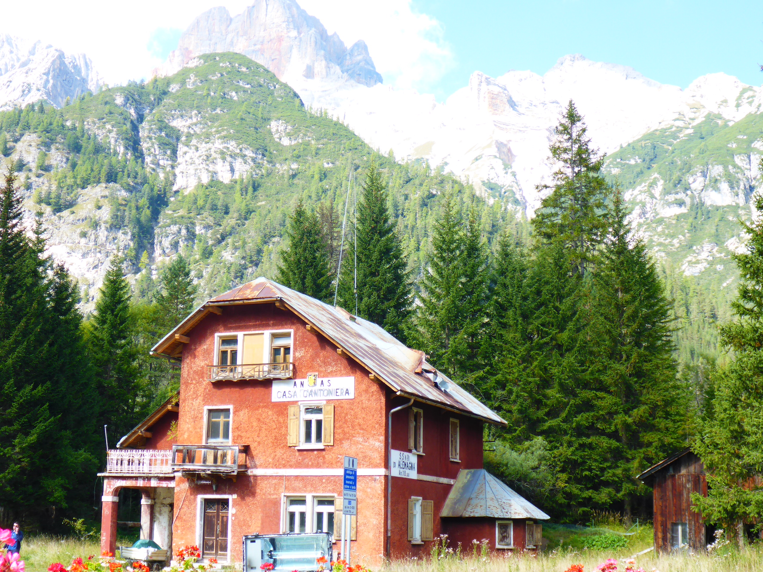
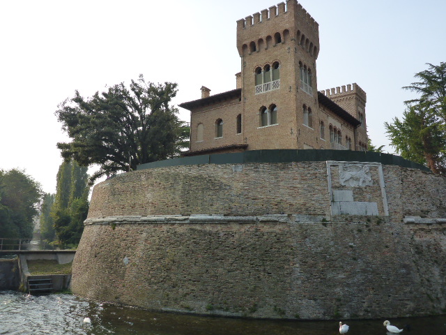
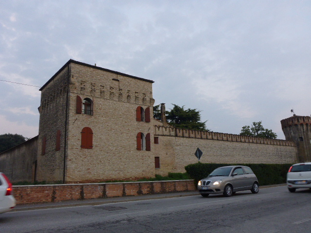
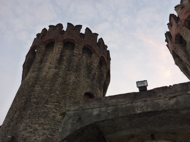
We soon reach the Fortezza: a cathedral in the desert. This imposing structure was built between 1833 and 1838 by the Austro-Hungarian empire to protect South Tyrol from attacks from the south. Between 1943-45 the Wehrmacht kept all the Italian state treasure here. After the fort we turn into the Puster Valley, following the Rienza river.
Today we discover that this area used to be part of Austria hence it still looks like Austria and we’re not hearing any Italian.
Sunday 25th September
A rest day today and some laundry.
Monday 26th September
San Sigismundo to Toblach
Distance: 46.33 km
Average: 7.47 kmh
Top Speed: 45.38 kmh
Total Distance: 8188.09km
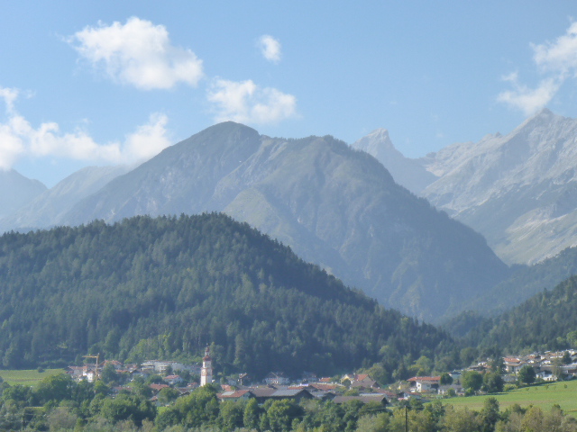
After an extremely relaxing day off we continue our journey along the Puster Valley. We haven’t gone far when we see another touring couple, Guido and Rita.

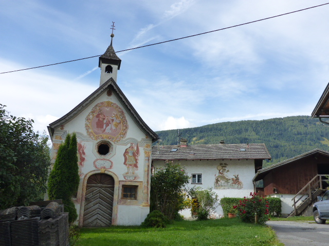
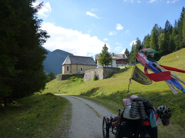
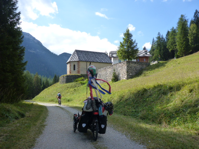
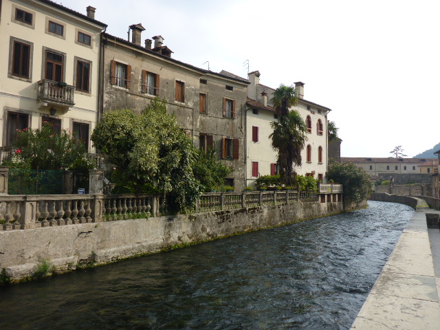
They’ve just done Norway and are heading home to Switzerland, we’re a bit confused as to why they’ve come via Venice. It turns out they want to do the Silk Road next year so hopefully we’ll meet them again. We finally head off having analysed their kit compared to ours. There’s a medieval castle in Casteldarne which was the ancient residence of the Künigl counts. In Brunico we stop to admire the beautiful frescoed medieval buildings and another castle.
We head up a wooded valley besides the Rienza river and then through a couple of rough tunnels. We cycle through woodlands besides a lake with the mountains reflected on its water and then another castle at Monguelfo.
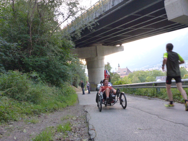
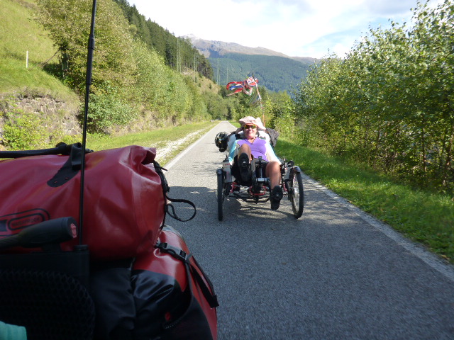
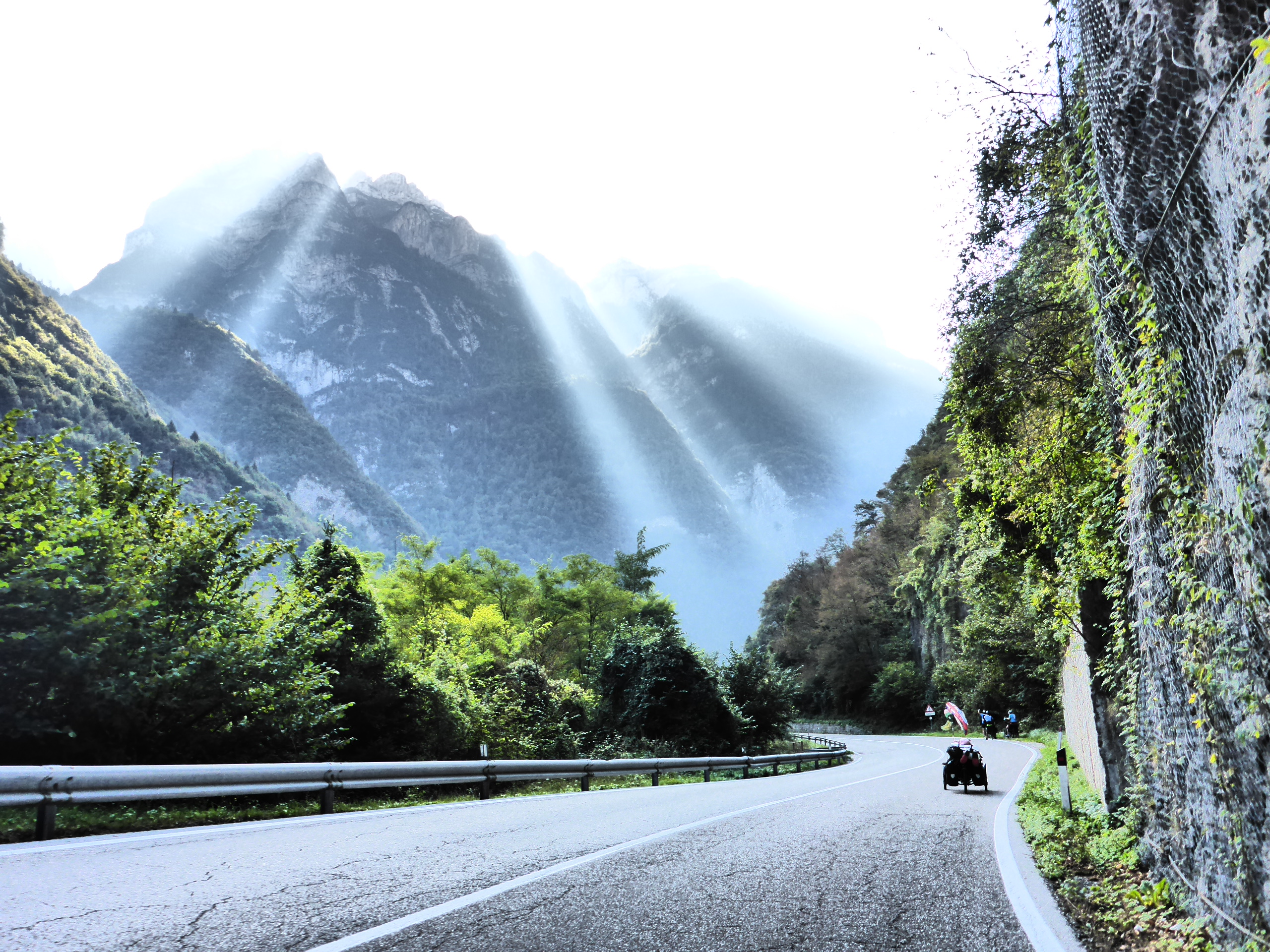
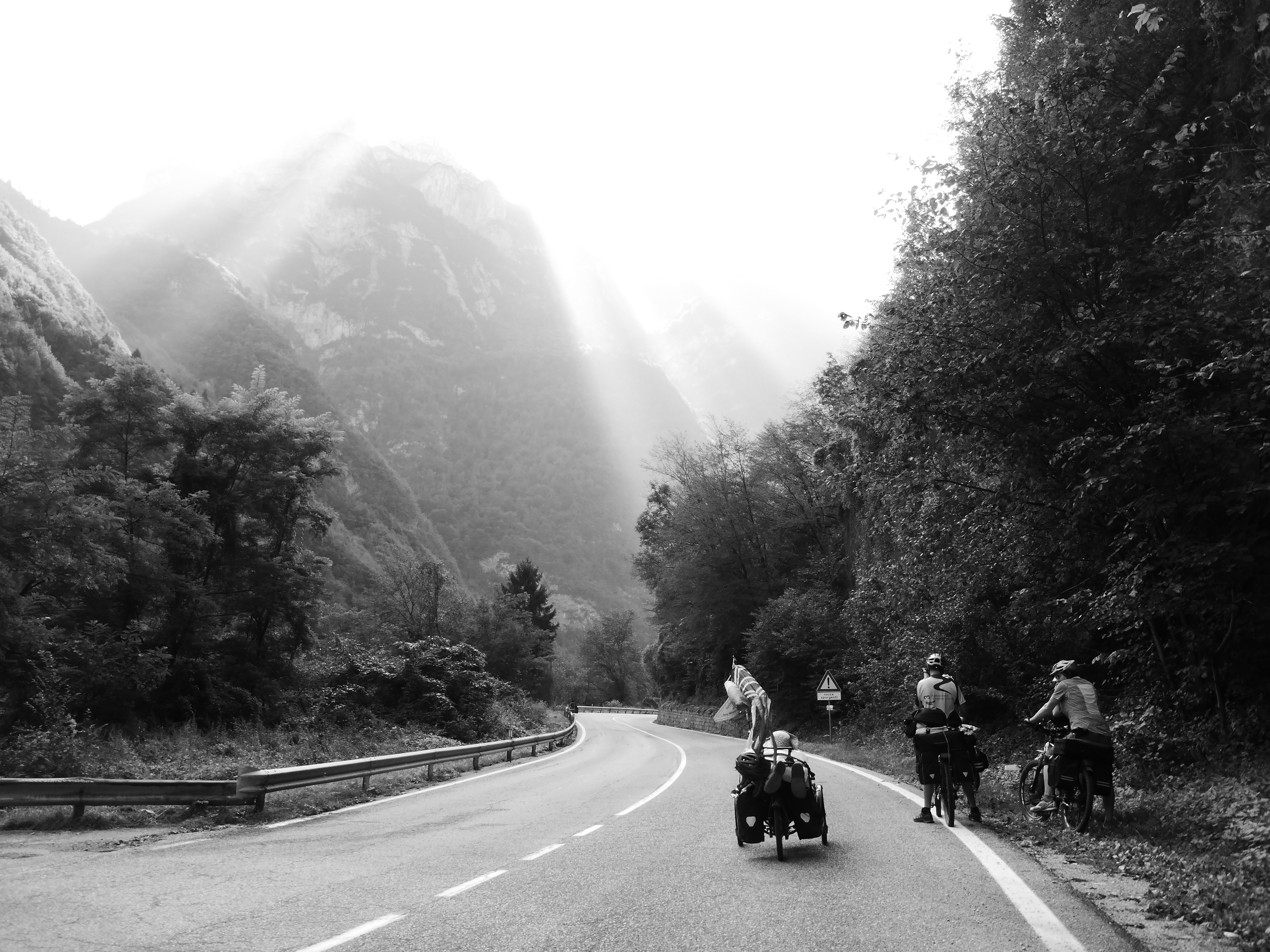
From here the valley opens out with mountains to our front. It’s an incredibly beautiful view and somehow looks more like a postcard then reality. Just at the end of the day we are passed by a recumbent cyclist from Munich, he’s on a HPV and also has one of Andreas’s flags!
Our final stop is in the pretty town of Toblach for dinner provisions and a few kilometers further we wild camp by the river.
Tuesday 27th September
Toblach to Tai di Cadore
Distance: 62.10 km
Average: 10.90 kmh
Top Speed: 40.64 kmh
Total Distance: 8250.19km
Our wild camping spot at about 1250m was a little chilly and damp. Camping next to a river clearly has a downside, well if you include the noise, several.
But having packed up we’re soon delighted by the crystalline and magnificent Dobbiaco lake.
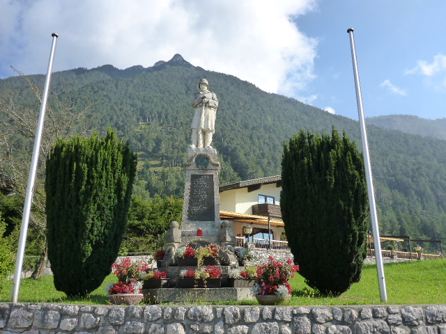
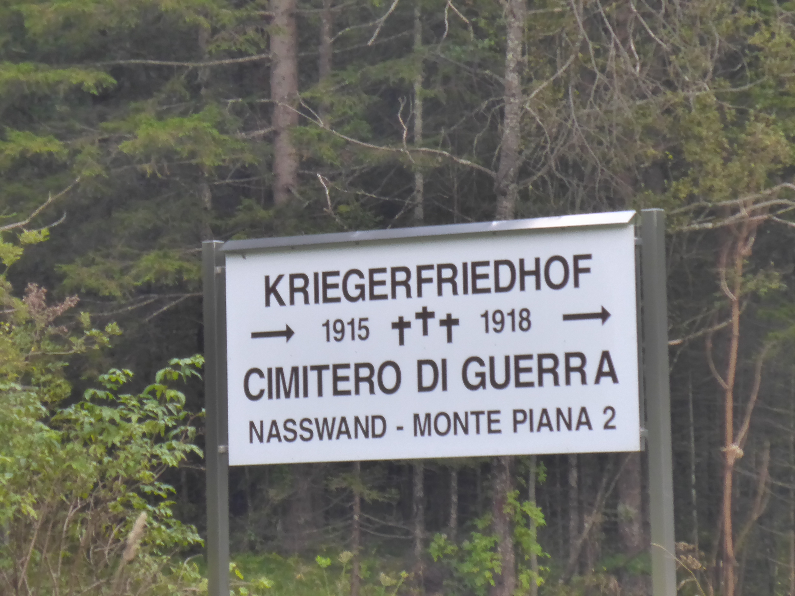
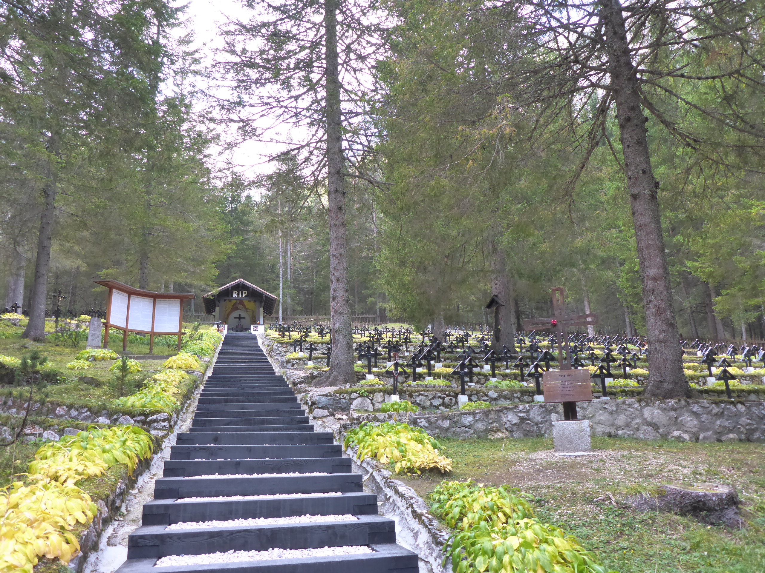
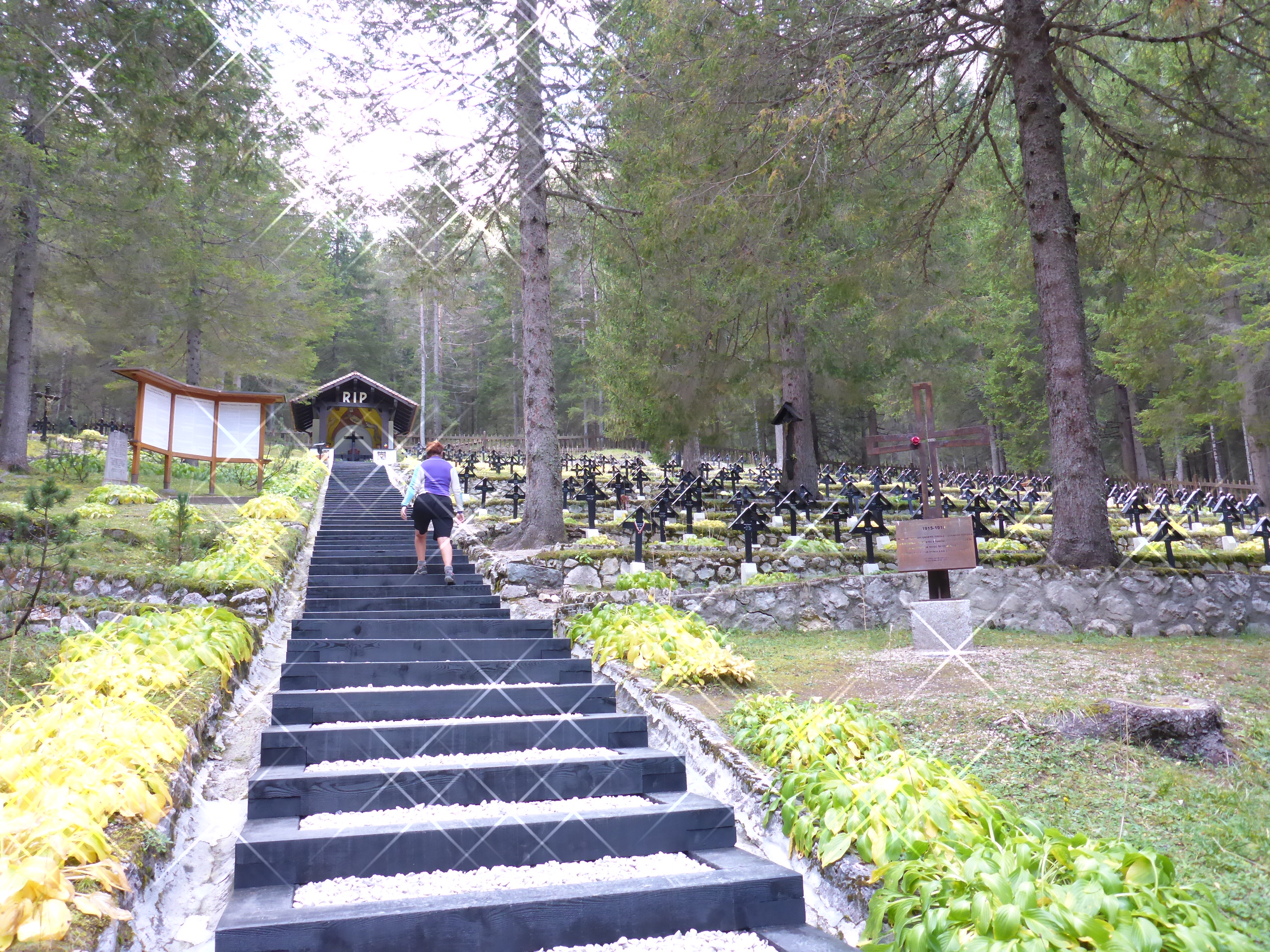
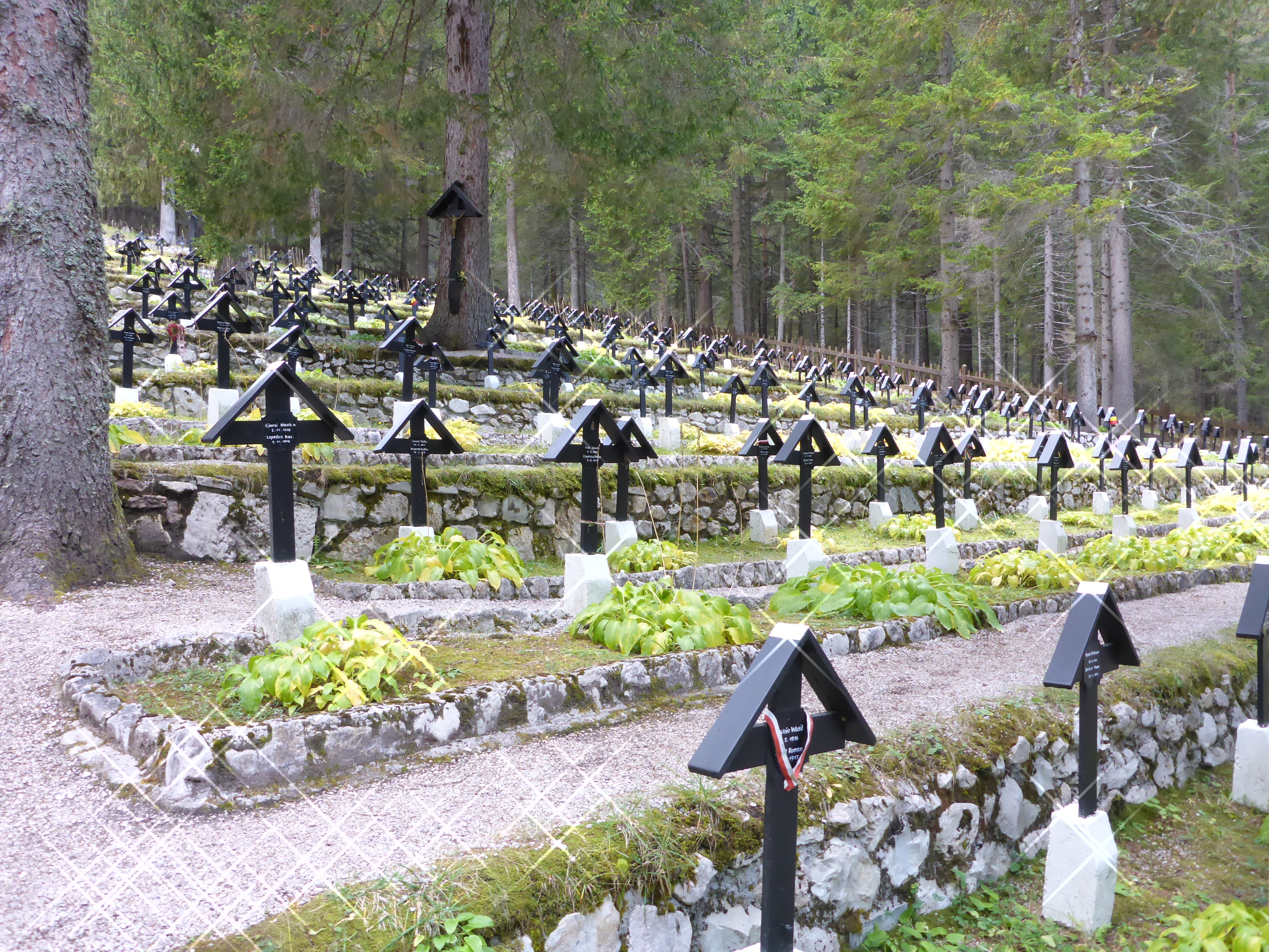
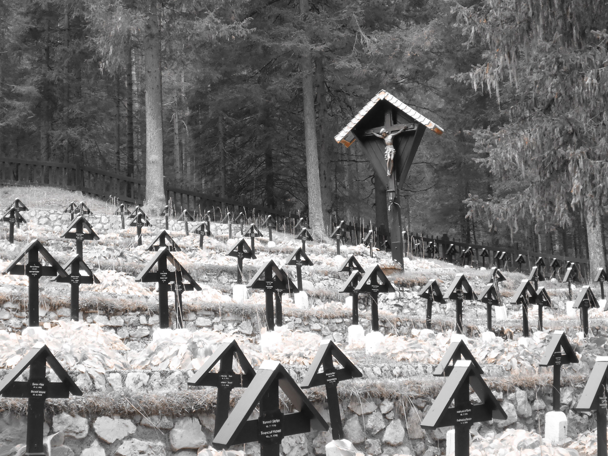
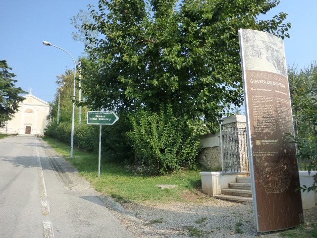
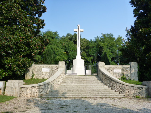
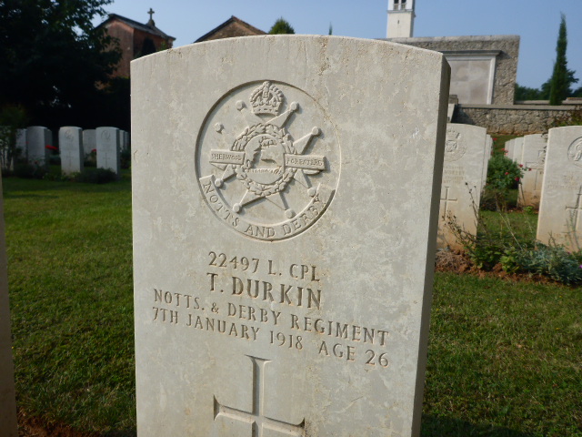
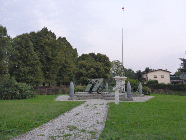
From here we cycle up the Landro valley through woodlands with the river to our right. We stop at the Sorgenti War cemetery where 1259 soldiers from the Austro-Hungarian Empire are buried. They died in the mountains during then war with Italy from 1915 to 1918.
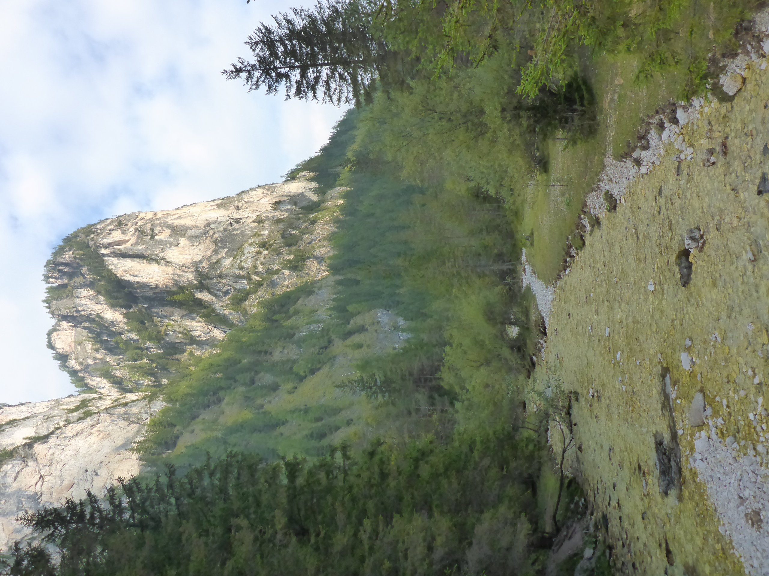
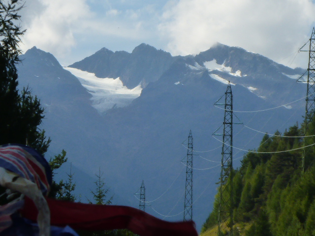
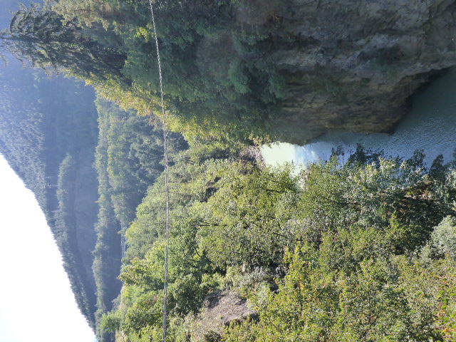
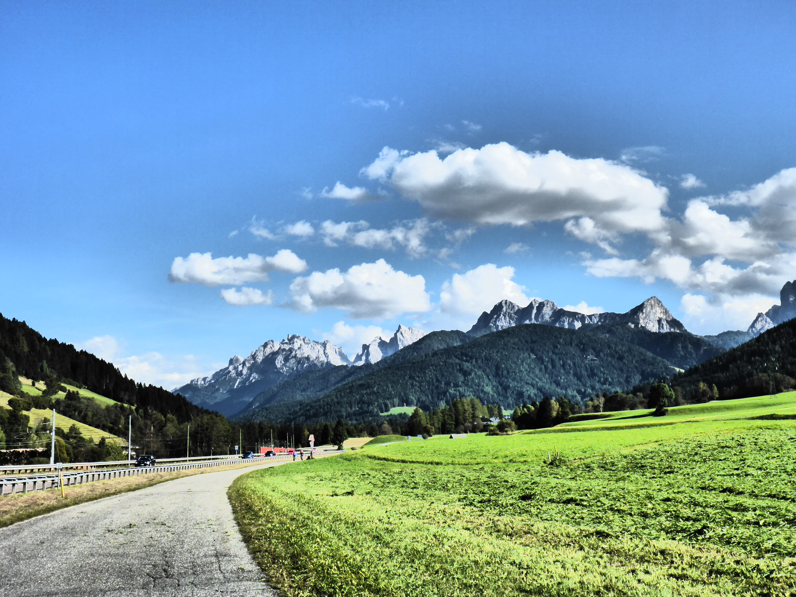
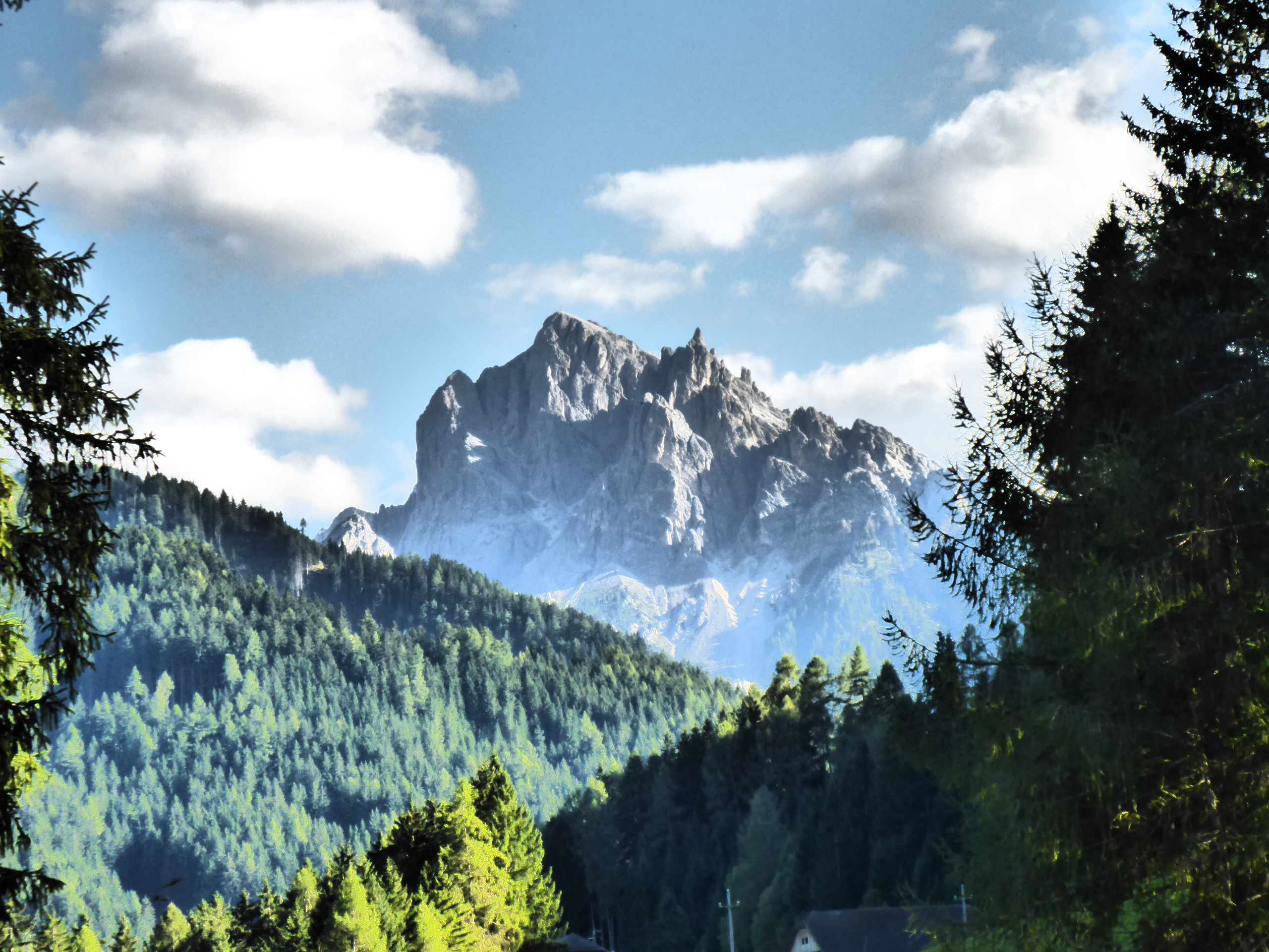
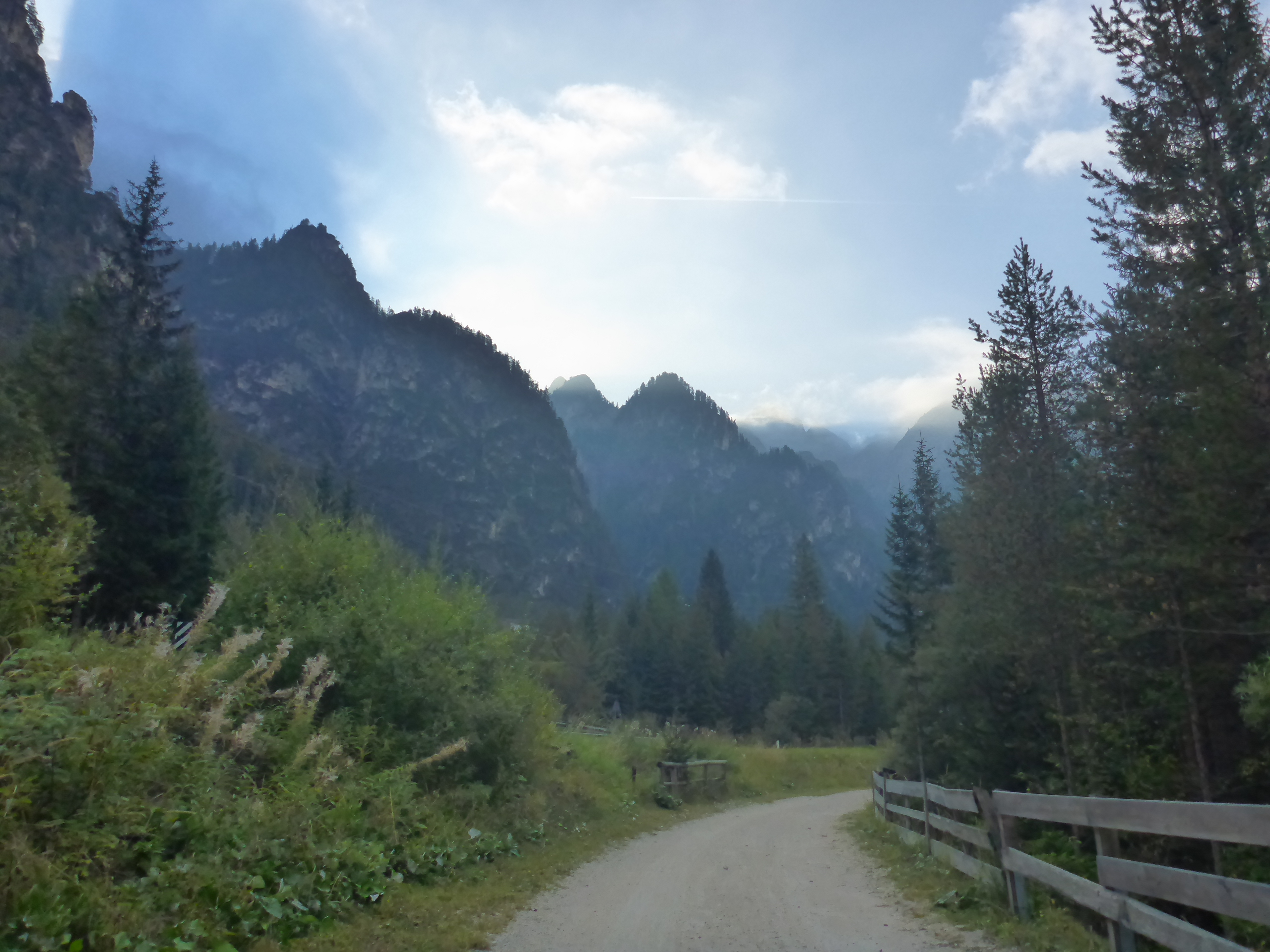
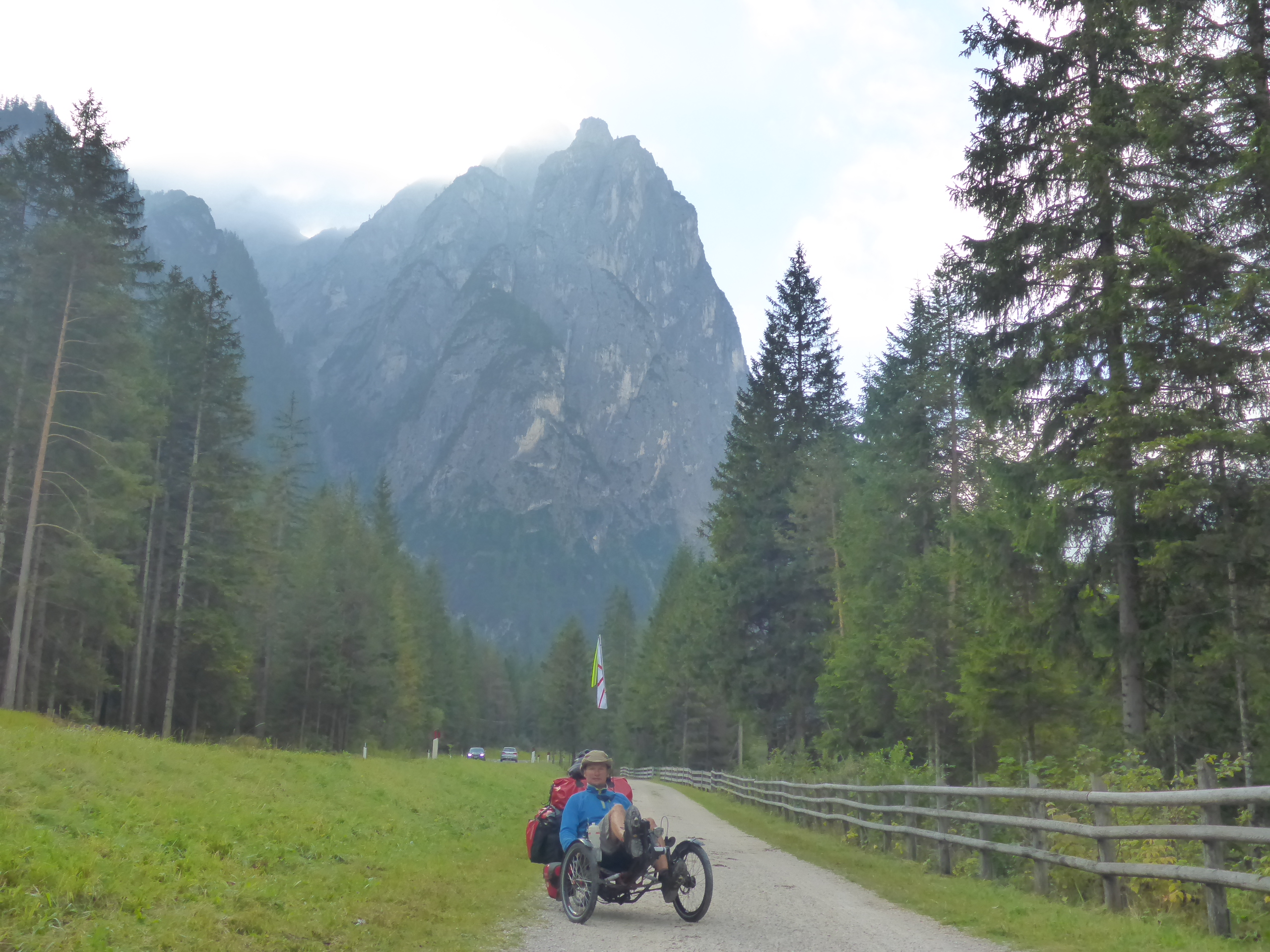
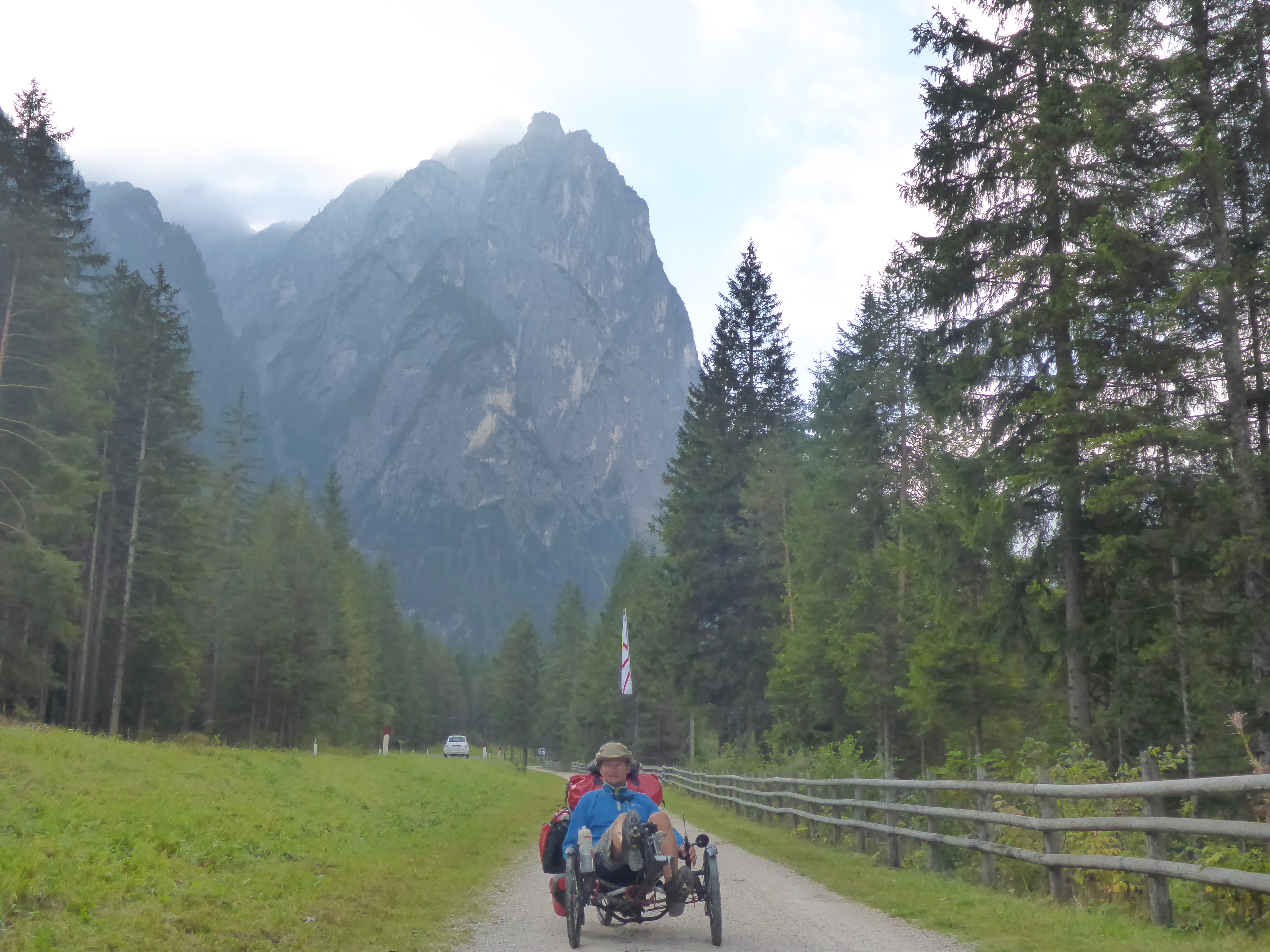
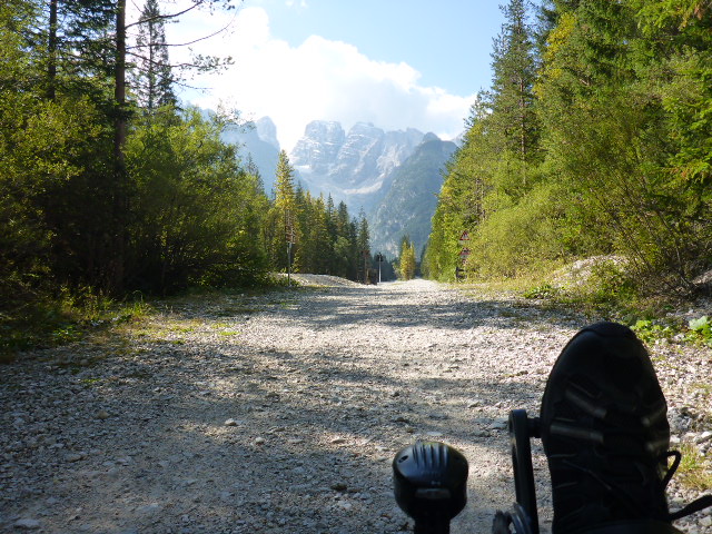
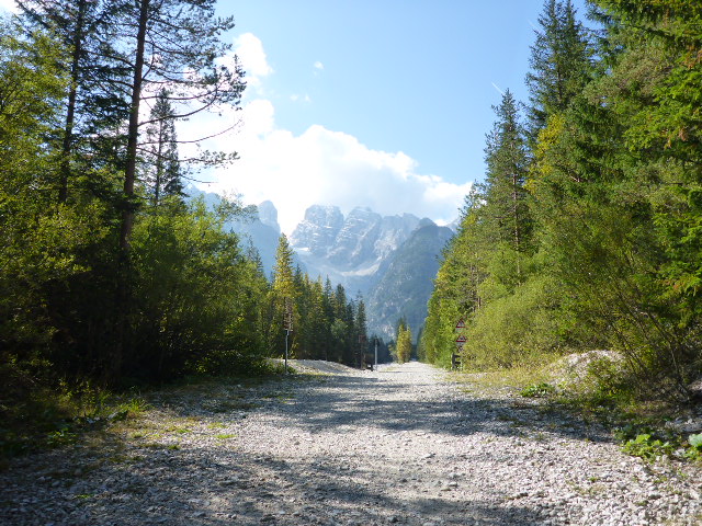
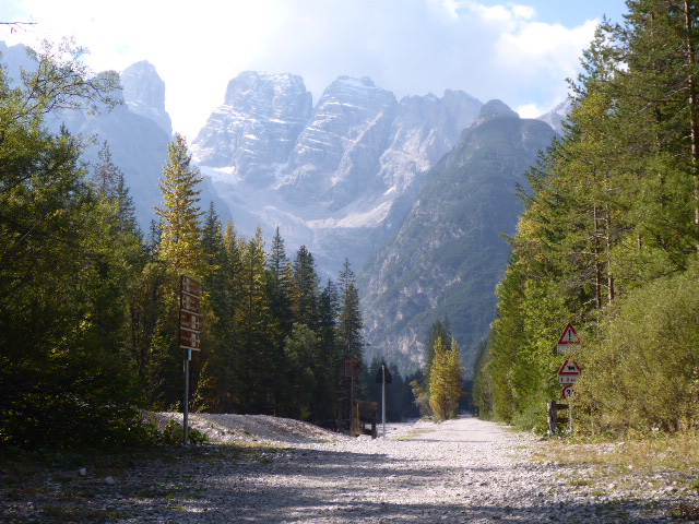
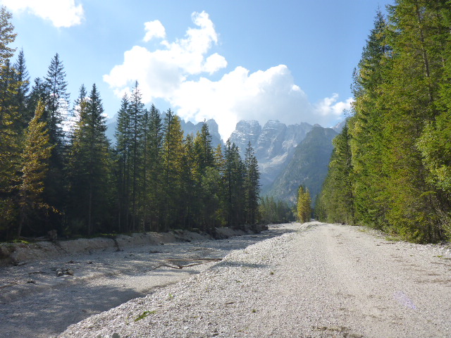
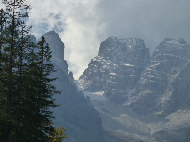
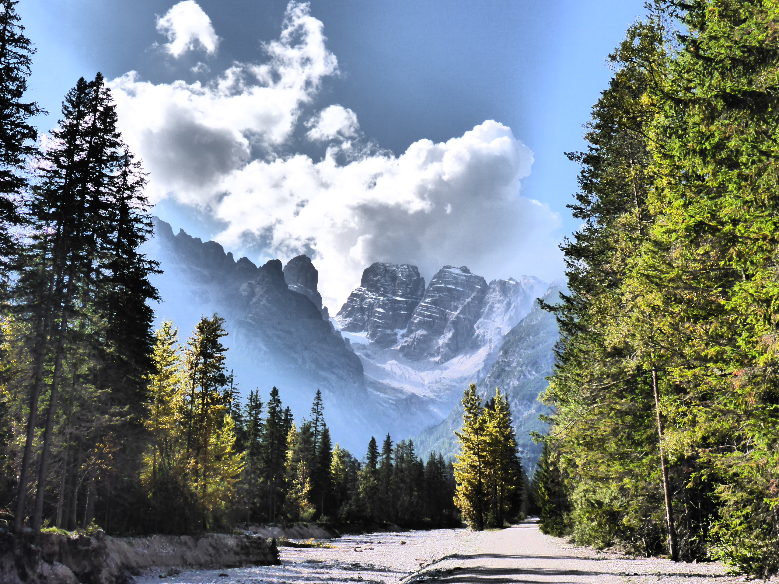
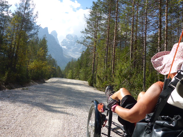
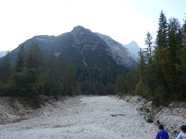
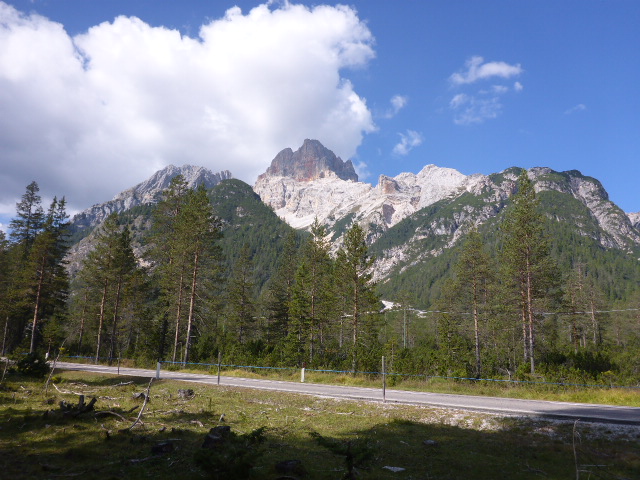
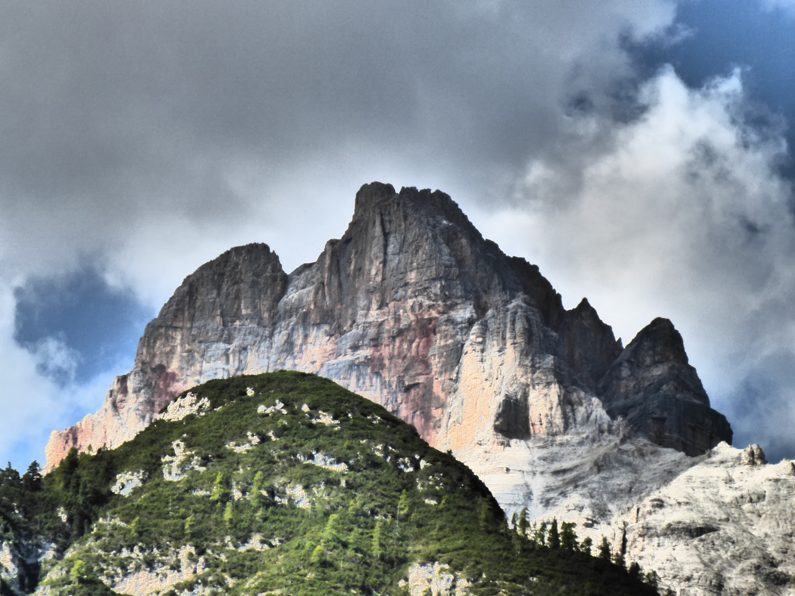
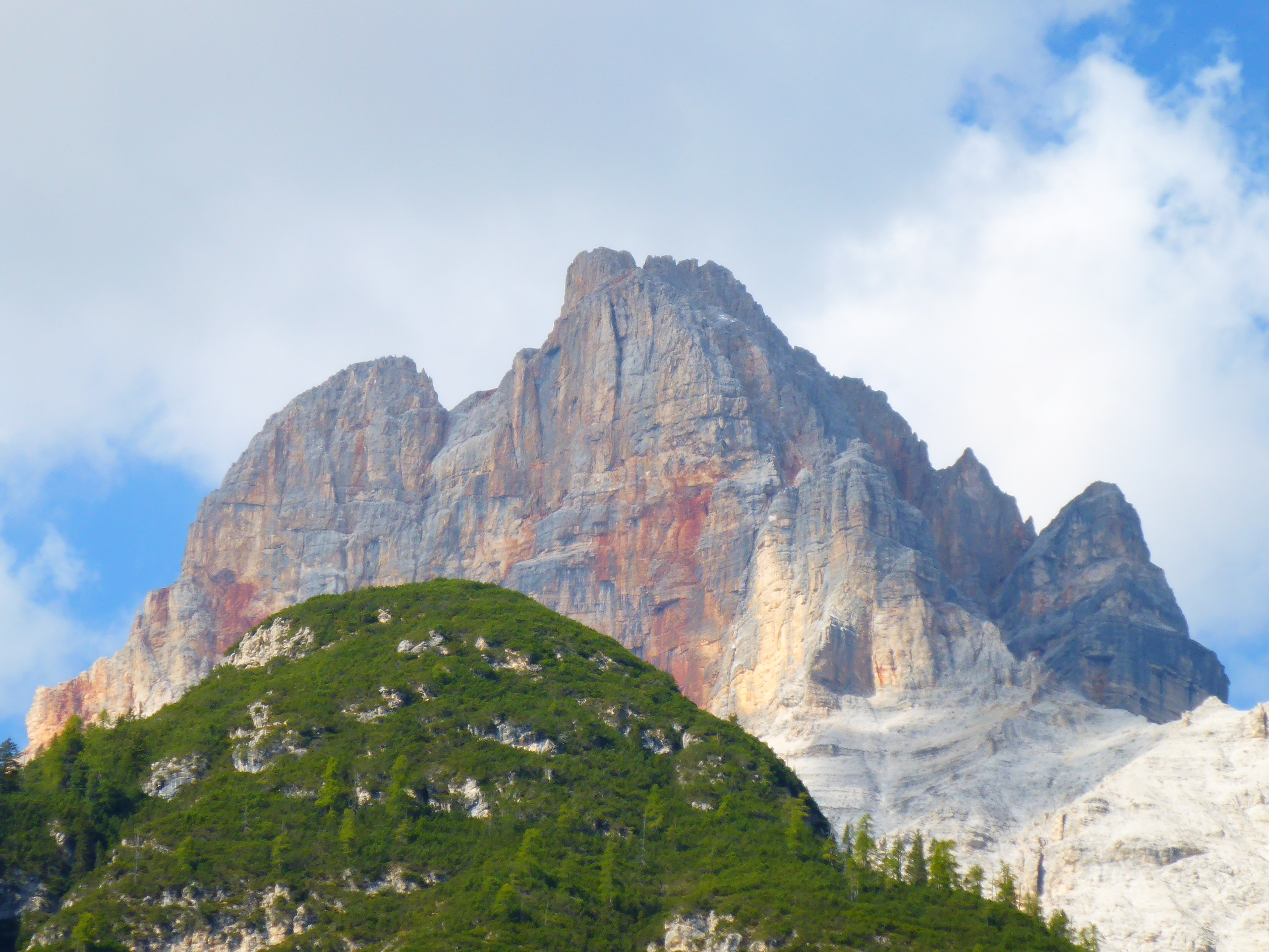
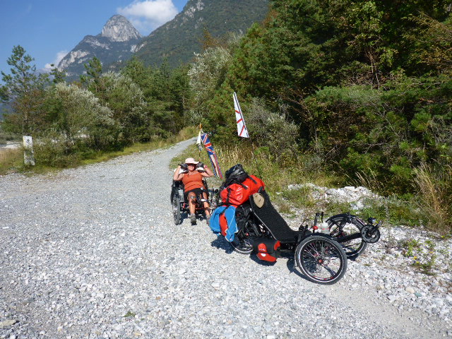
More climbing and then we have the most incredible view of the Tre Cime di Lavaredo: the magic of the triangle. These are the symbols of the Dolomites, a UNESCO heritage site. The imposing mountains stand out against the sky and attract climbers from all over the world, with their difficult routes that have made the history of modern mountaineering: Cima Grande (2999m), Cima Ovest (2973m) and Cima Piccola (2857m).
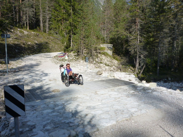
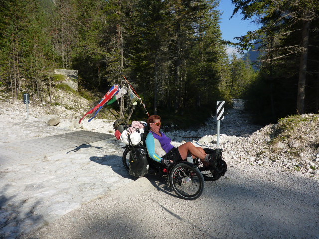
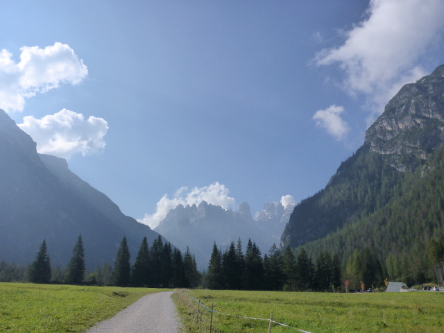
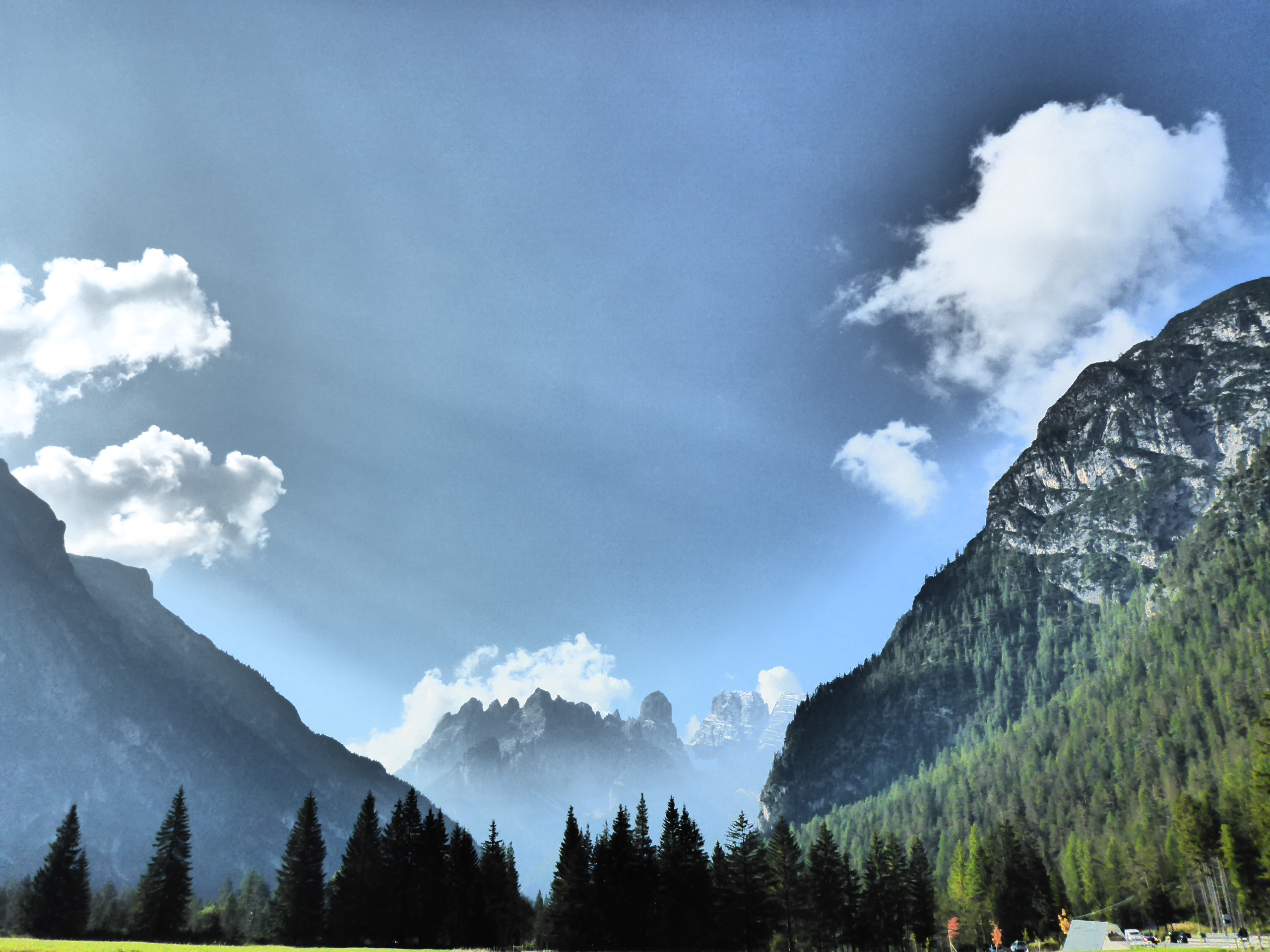
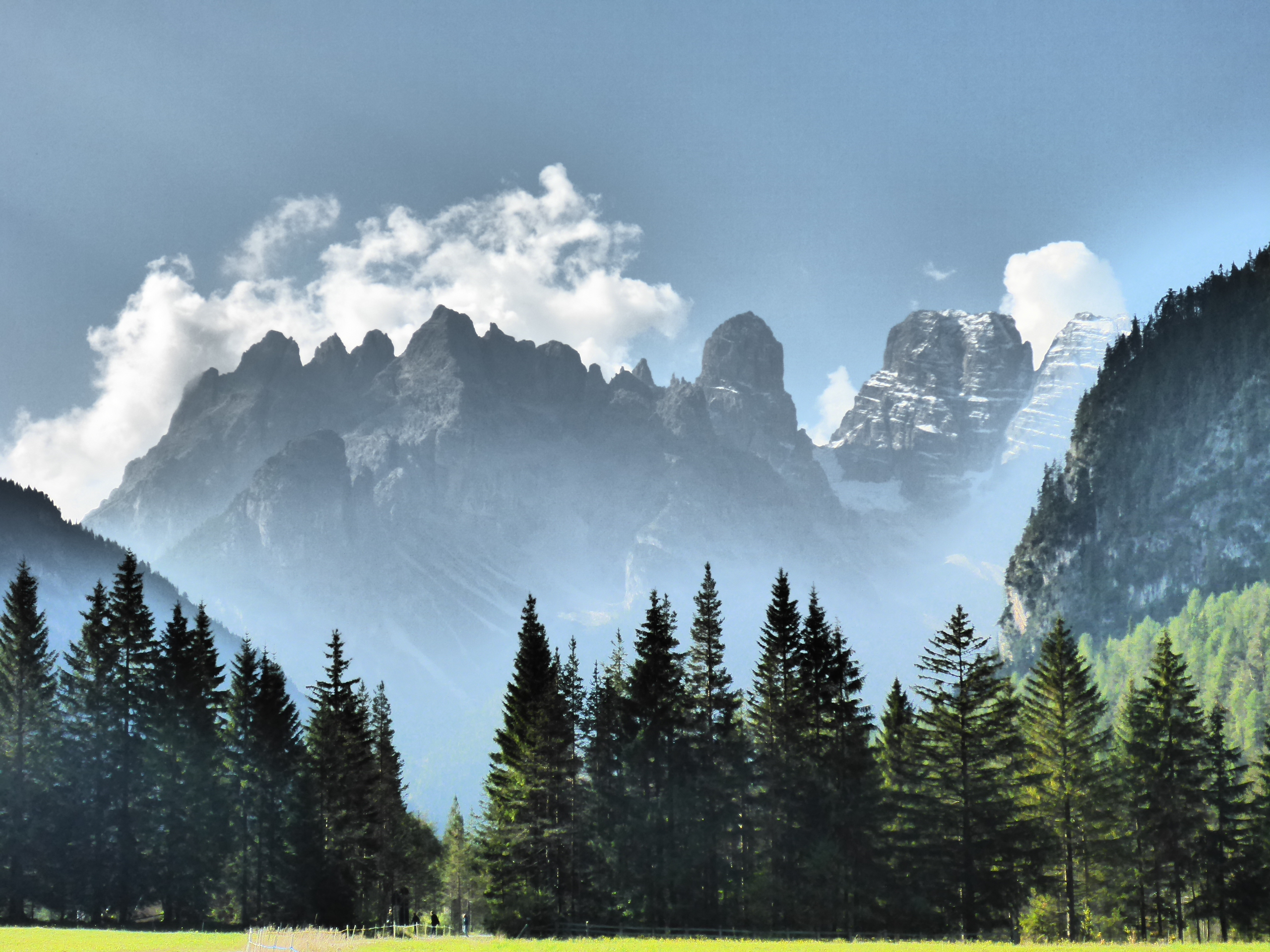
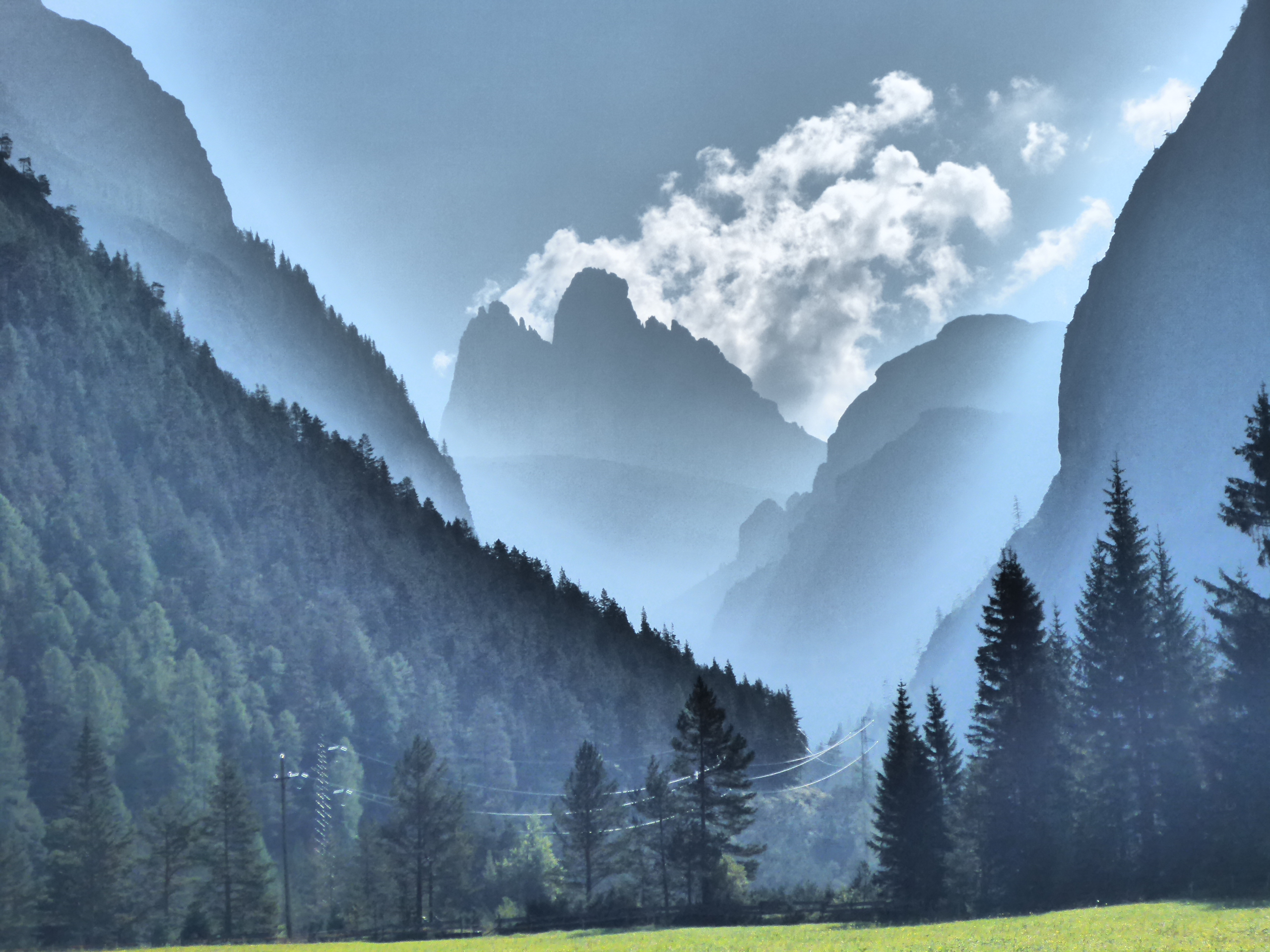
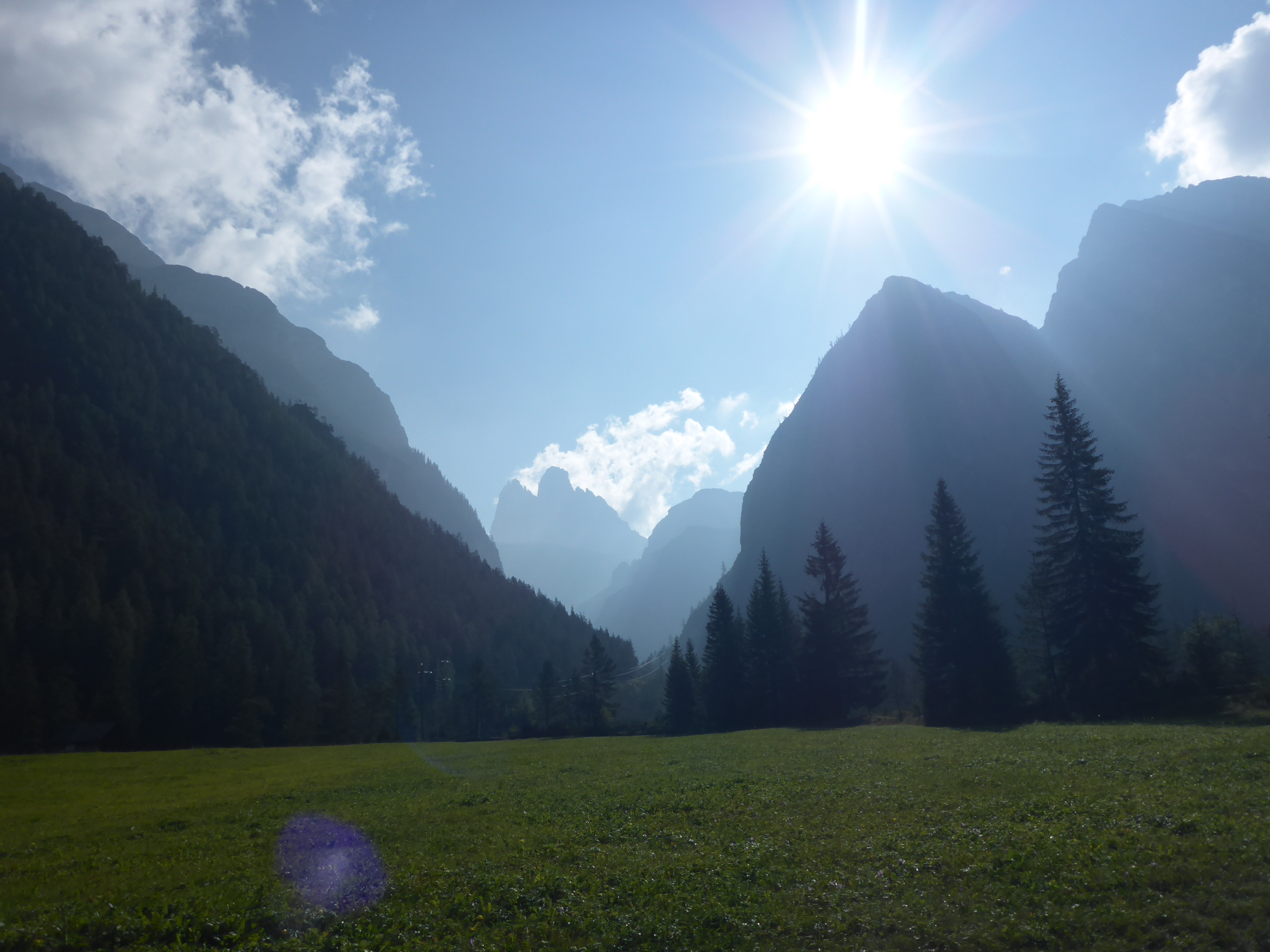
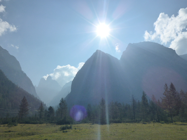
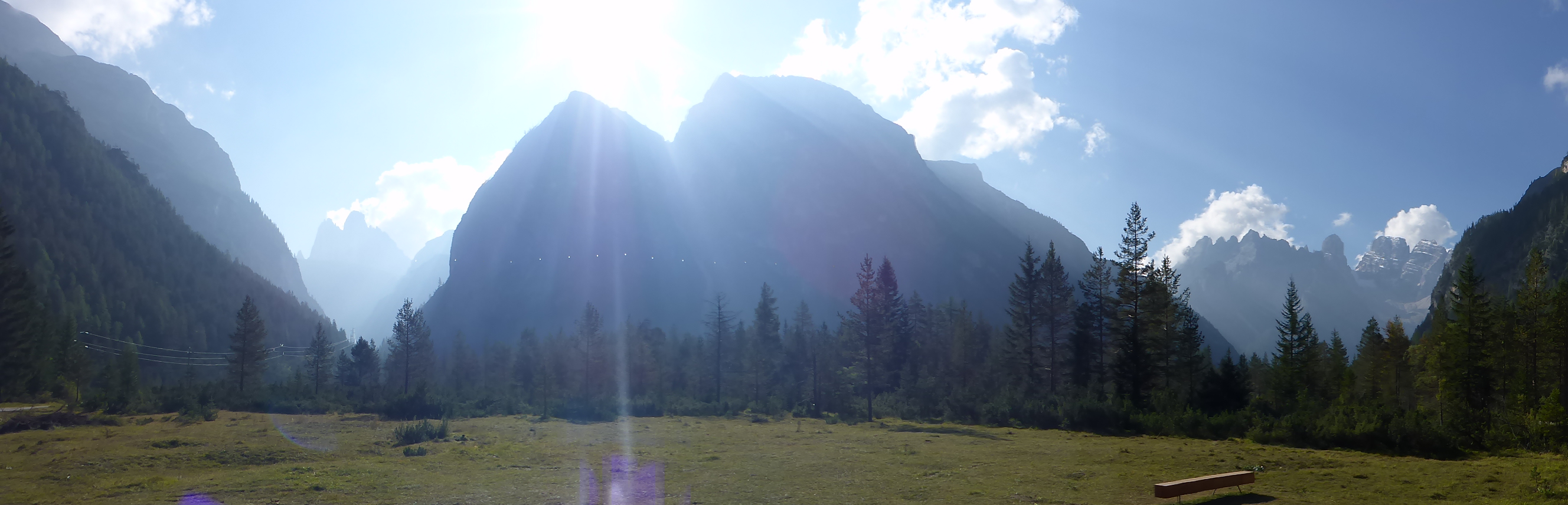
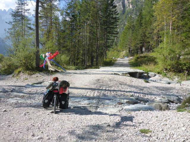
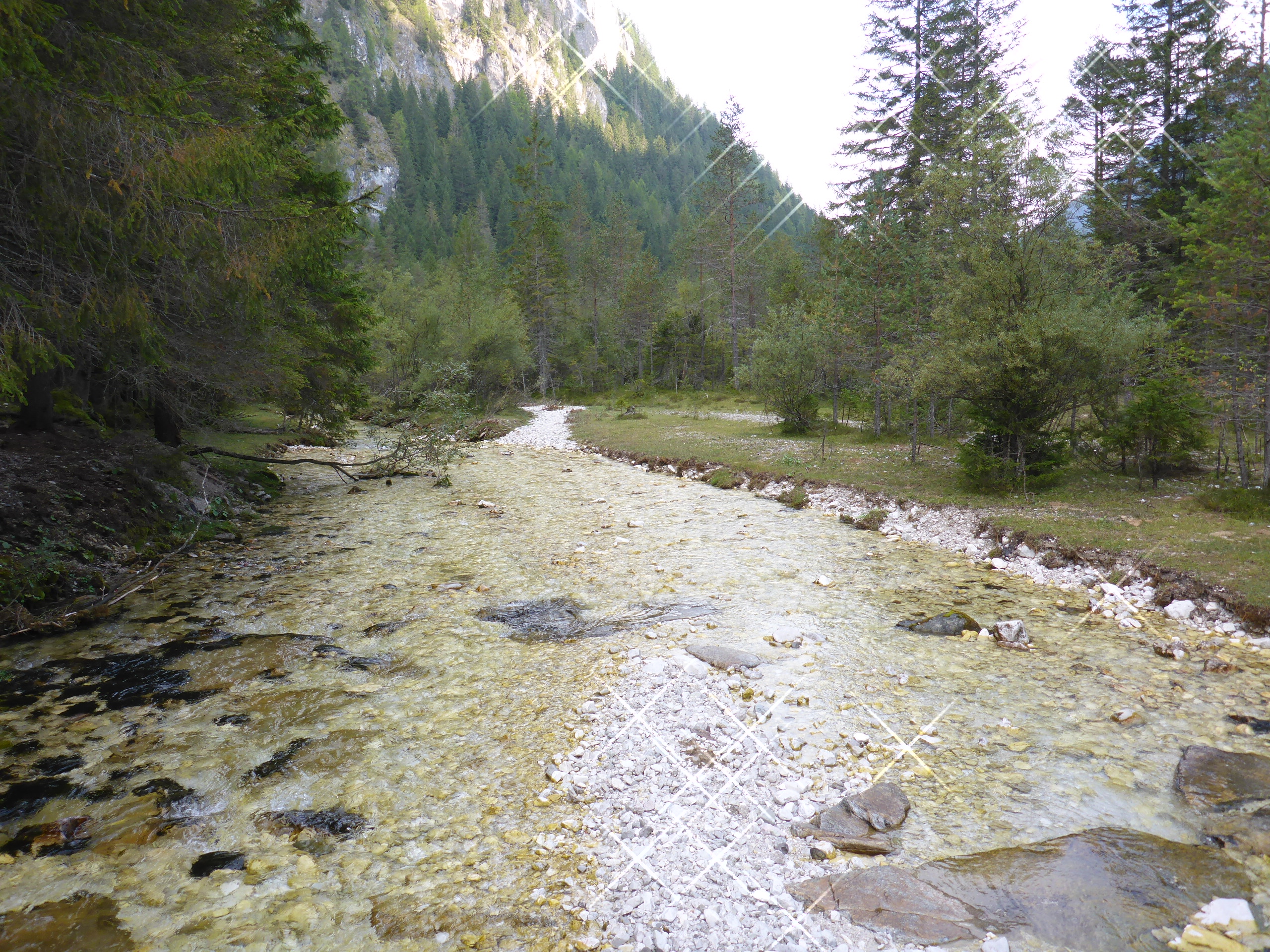
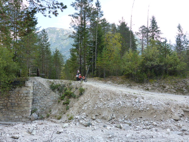
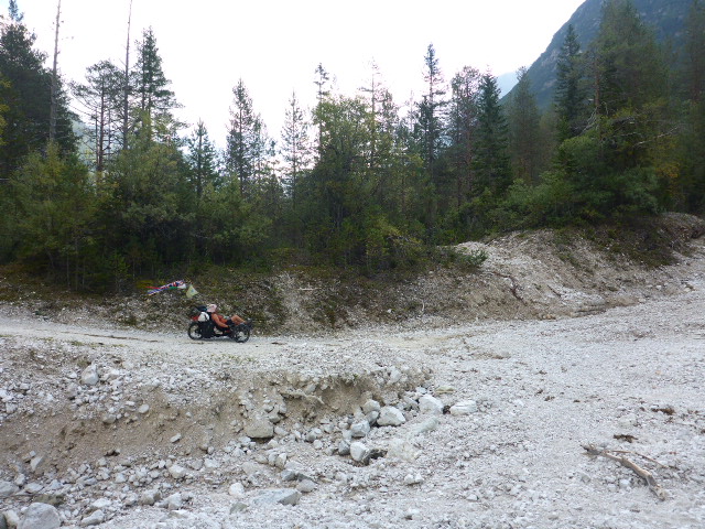
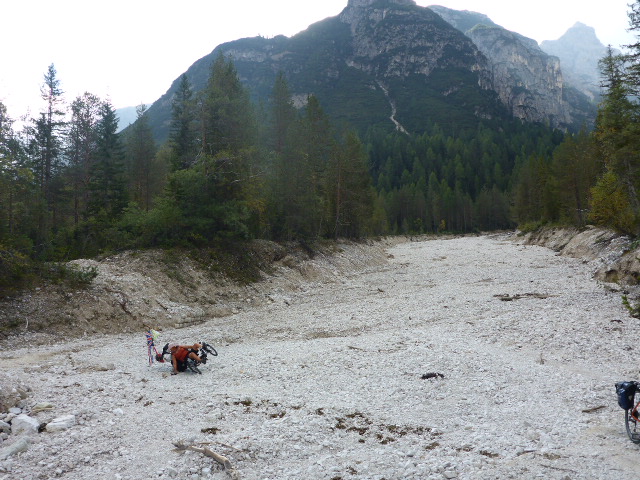
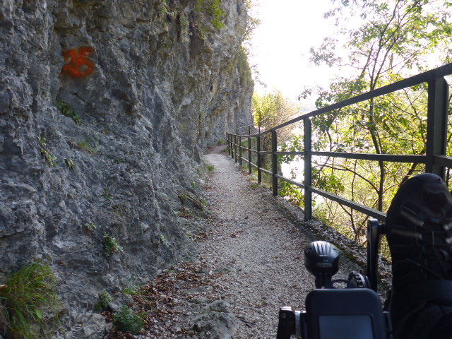
This is also the source of the river Rienza that we’ve been following for so long. It’s so incredibly beautiful, we can’t believe that we have cycled into the Dolomites. The climbing today has been on gravel tracks, and at times we have crossed very rough areas and even dry river beds with huge stones. We would never have managed on a normal bike let alone the tandem, but we cross the rough areas on the trikes quite well! We still have a little more climbing and then we reach Passo di Cimabanche (1529m asl), which marks the border between the Trentino-Alto Adige and Veneto regions. We are so chuffed and the long, slow climbs have been worth it to see this beautiful area.
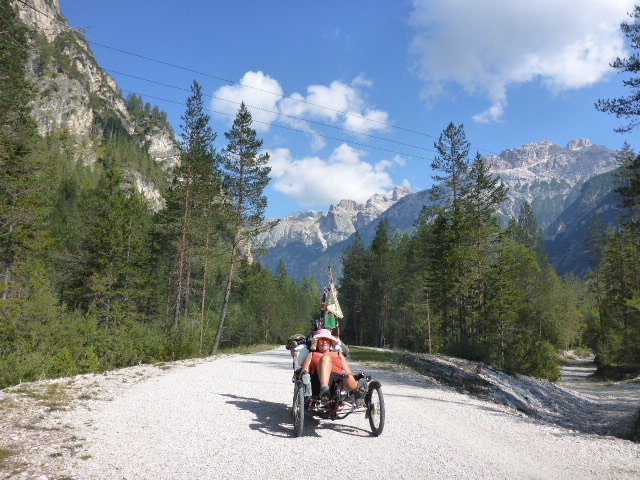
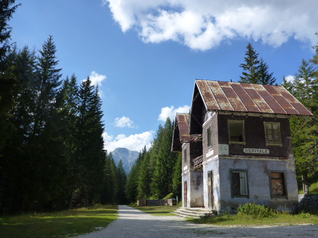
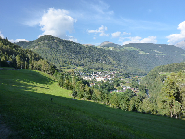
We stop for a coffee, but then it’s downhill for much of the rest of the day. We follow an old railway line that has been converted to a cycleway. Down through woodland and out into open meadowland. Through gorgeous little villages and past many an old railway station. Some are derelict, some converted to homes, all very quaint. Over bridges, through tunnels we keep descending. Gravel and asphalt, nothing slows us down. We finally stop in Cortina d’Ampozza for lunch and to dry the tent out. This place is very posh and described as the Queen of the Dolomites!

Our tent drying in the town square gets us some stares!! I definitely feel like a pikey drying our kit in such a busy tourist town. Just before the off Daz notices a puncture, so I sit in the sun and chat to a couple from the UK who have seen the flag and popped over to say hello. Puncture fixed, well after 2 attempts, and we’re off. More downhill! And on the edge of town an Olympic skijump from 1956.
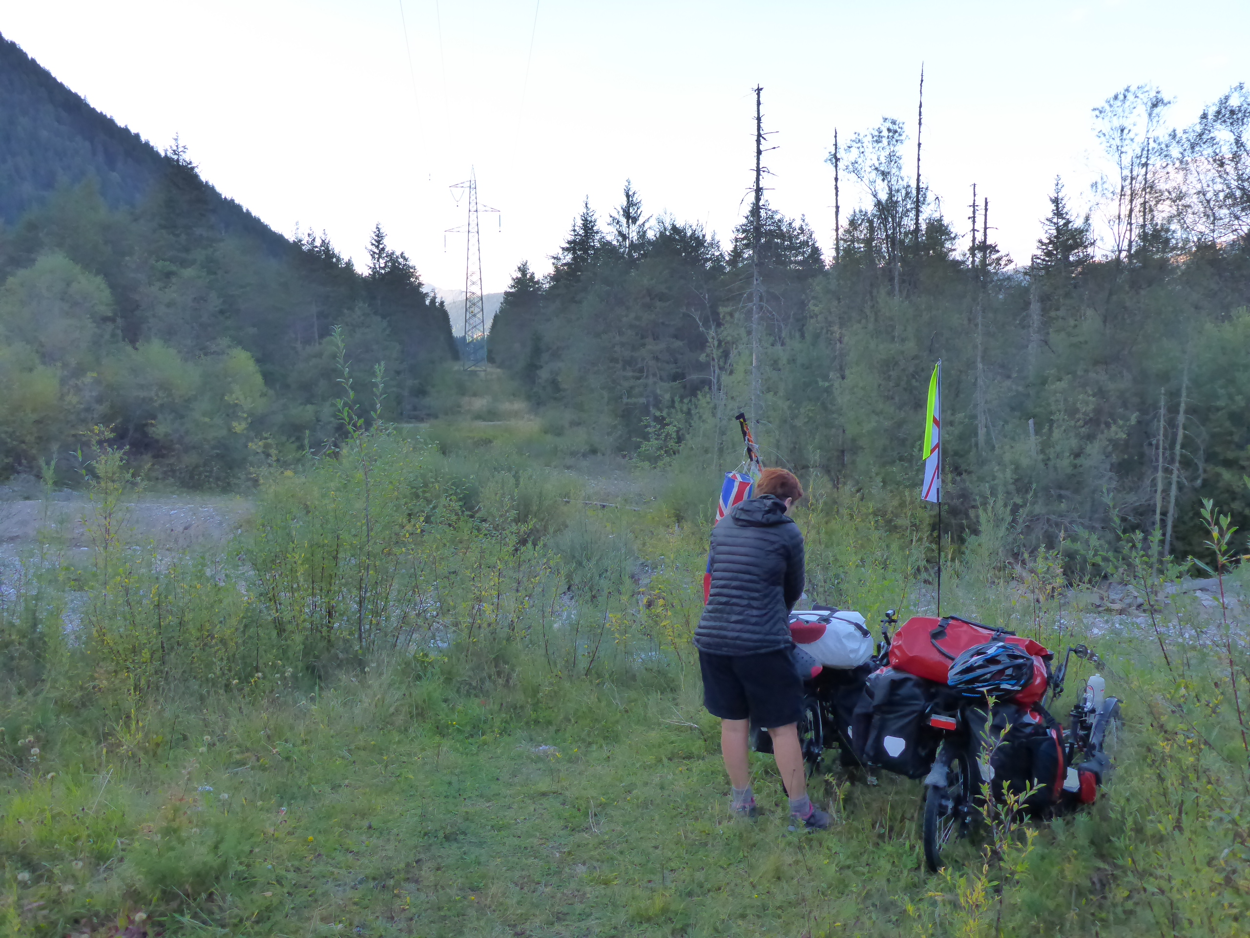
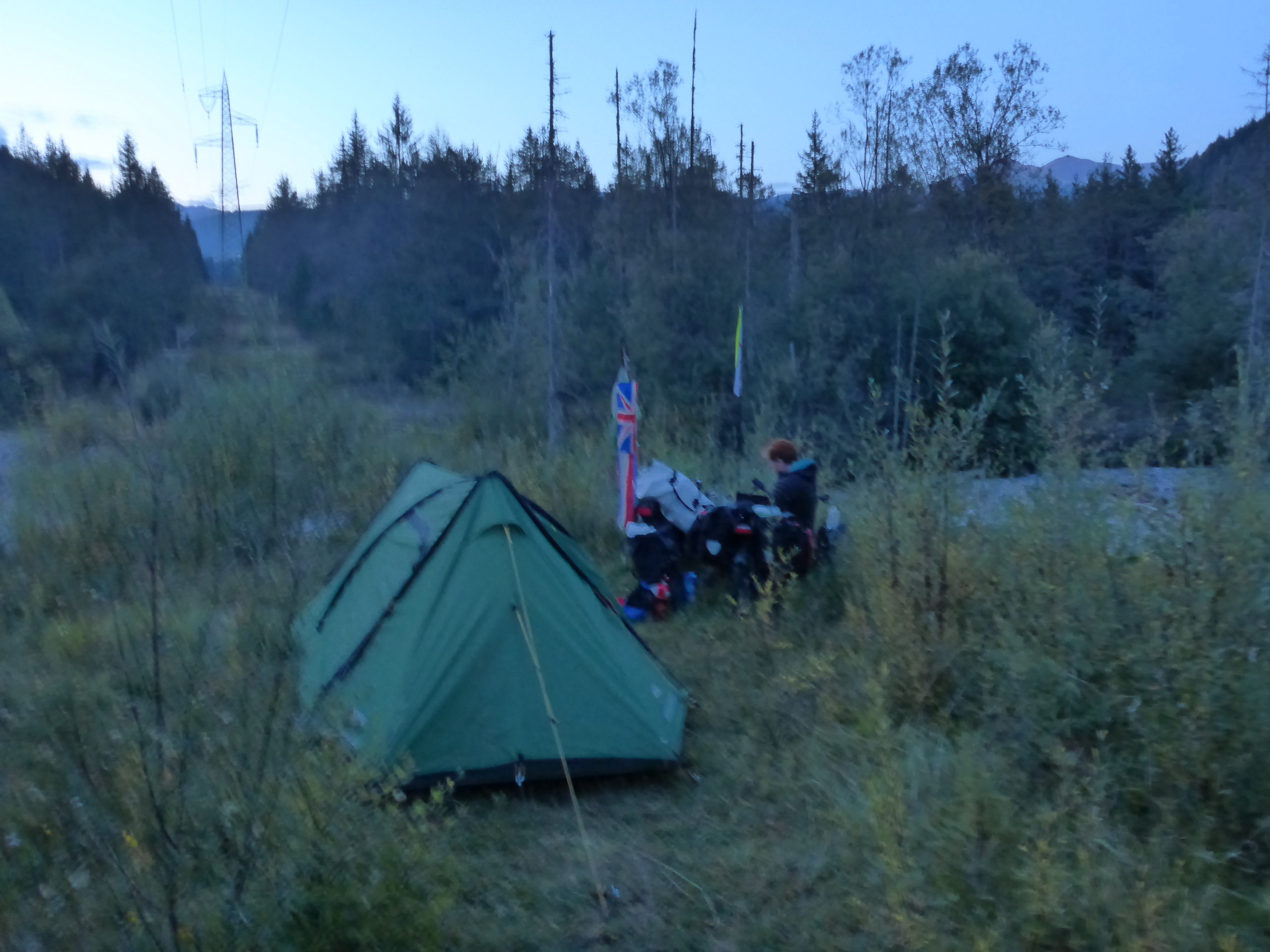
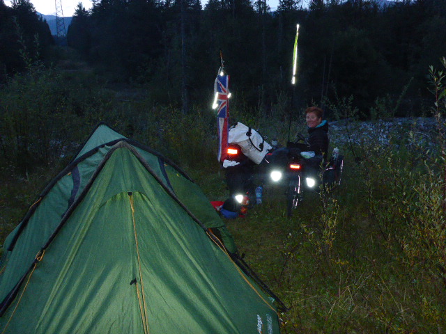
The mountains around us are so beautiful. We stop for provisions and find another wild camp site just outside Tai de Cadore. Finally we have seen some signs for Venice… we are getting close, only another 180km to go!!
Wednesday 28th September
Tai di Cadore to Soverzene
Distance: 41.36 km
Average: 11.92 kmh
Top Speed: 48.69 kmh
Total Distance: 8291.55km
An excellent camping site and so much warmer than the previous night. We only just set off and a car passes us and then stops.
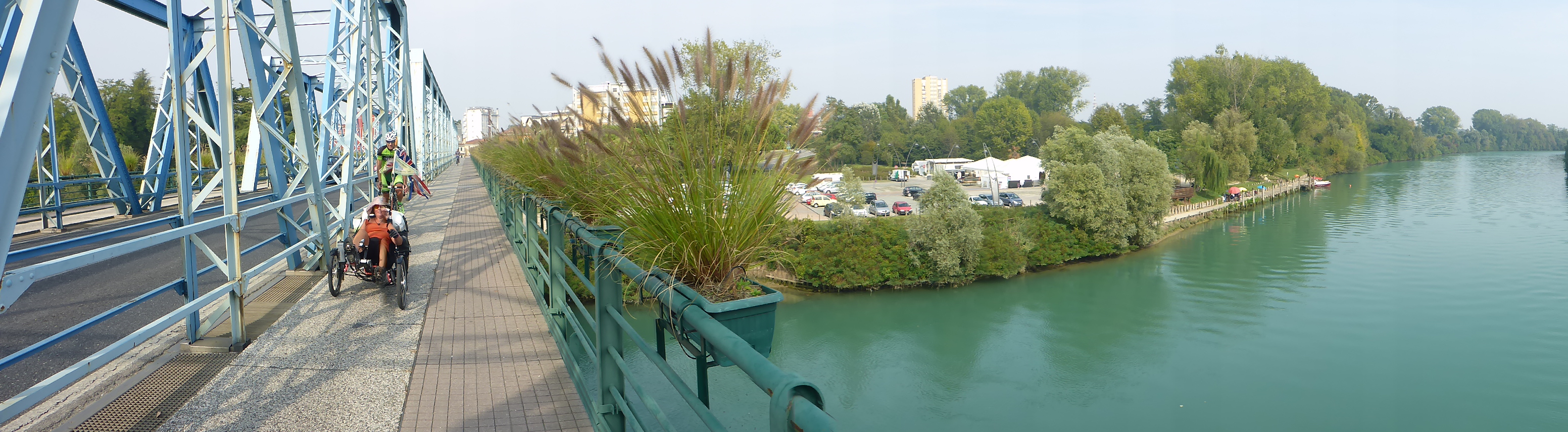
It’s an Italian couple and they want to take our picture, and befriend us on FB. They’re chatting away in Italian and we really don’t understand but we think they had a year’s cycling adventure to China and SE Asia. After a lengthy chat we continue on our way on the old Cavallera road built by the Austrians in 1828, where there is very little traffic as most use the new viaduct, and we fly down a steep hill to Perarolo di Cadore, at the confluence of the Boite stream with the Piave river.
This used to be a very important place in the region due to its river connections, but with the advent of the car, train and finally a new road and a viaduct it lost its central role, cut off from commercial traffic. A common destiny for all the small towns in this part of the upper Piave.
We are so enamored of the region and its beauty. We take a moment to discuss the fact we are cycling in the Dolomites on a Wednesday morning. Two years ago we would have been cycling to work in the dark for another day in the office!! Amazing. We highly recommend this cycling route to one and all!
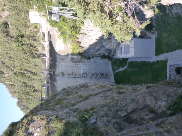
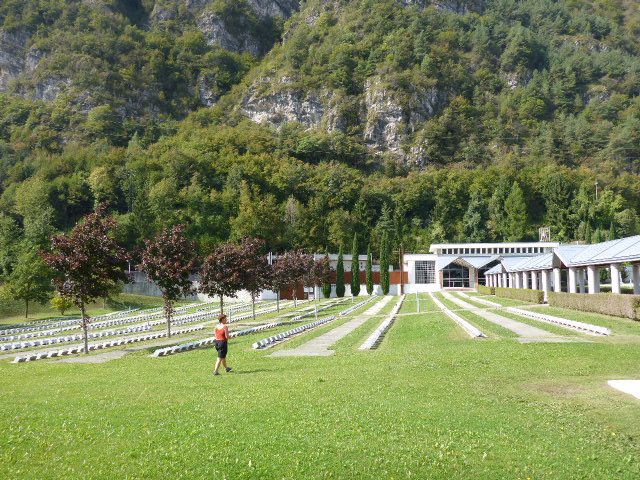
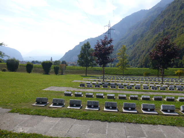
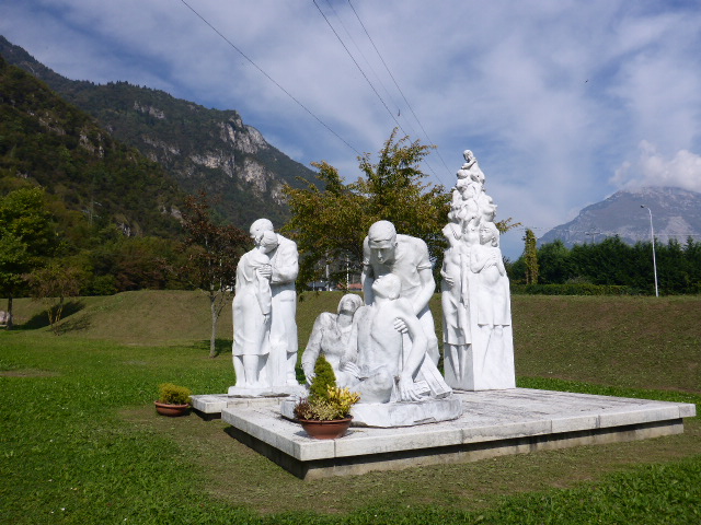
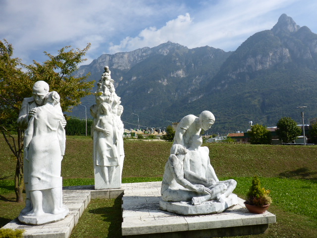
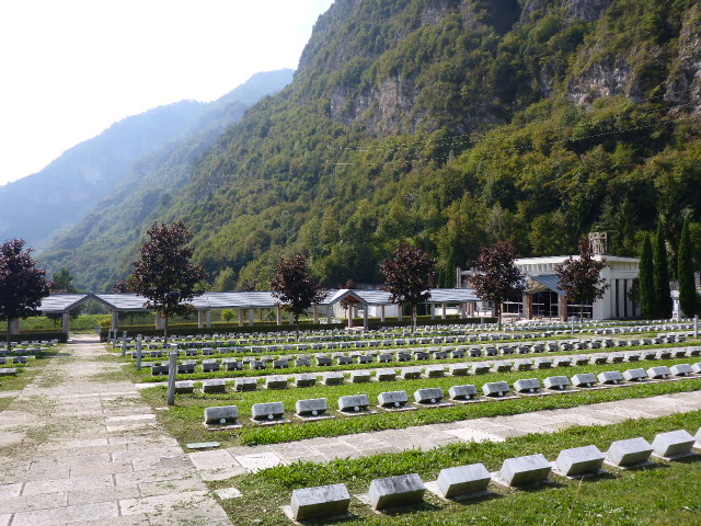
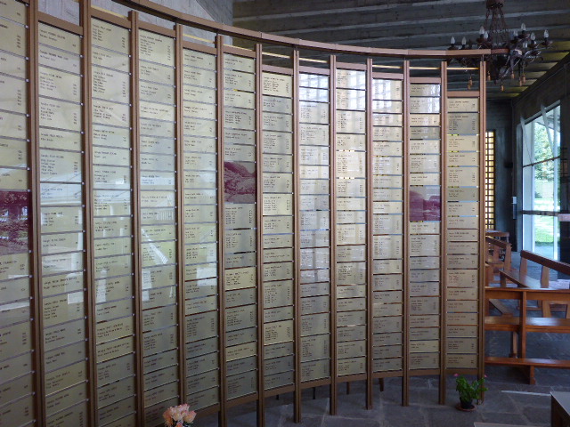
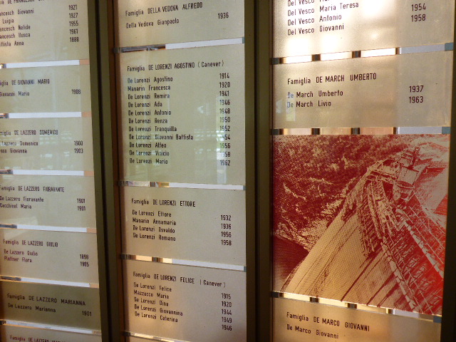
Later we take a detour to Longarone. Here there is a large dam in a side valley and in 1963, shortly after its completion an enormous landslide came away from Mount Toc and dropped into the newly formed lake. The resultant wave caused 50 million cubic meters of water to overflow the dam. This surge ran down the valley and obliterated the villages below, Longarone was the worst hit. Nearly 2000 people died and we visited the memorial cemetery in Fortogna. The people that died are all remembered with individual marble stones with their names and ages. We note that whole families, some with 3 and 4 generations, were killed.
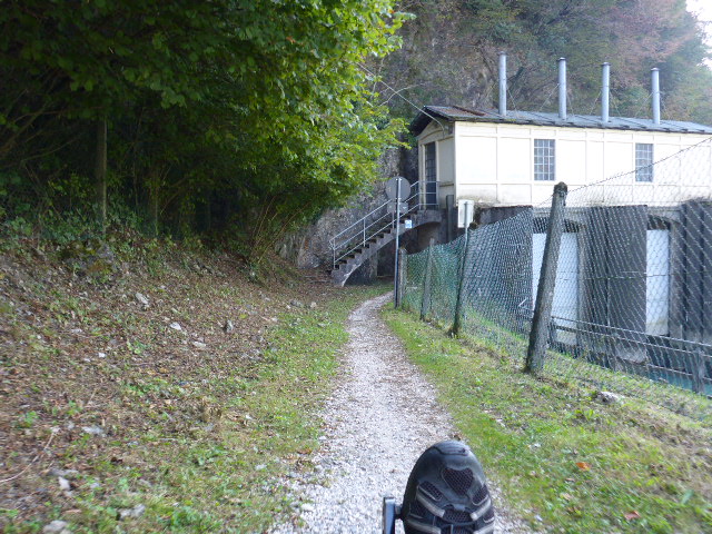
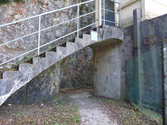
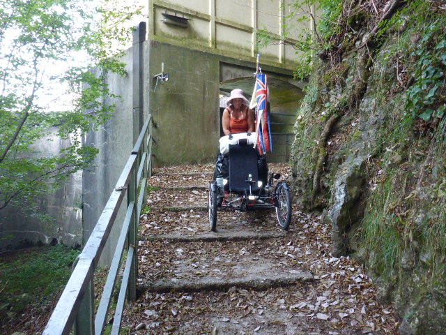
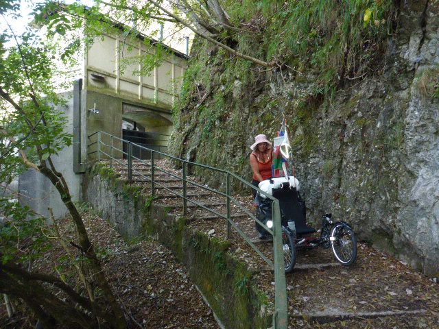
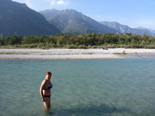
We carry on down the valley and recross the Piave river at the Soverzene Power Station, with its grand facade. The guide book tells us there is a small tunnel to negotiate and some narrow bridges. What greets us is a very narrow path around the edge of a cliff, a very low tunnel and some precarious slopes and stairs to negotiate. But we get through with a little lifting and shunting and we are soon in a picturesque area by the river. We stop for lunch and sit on the river bank.
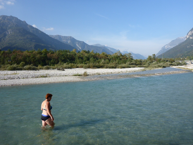
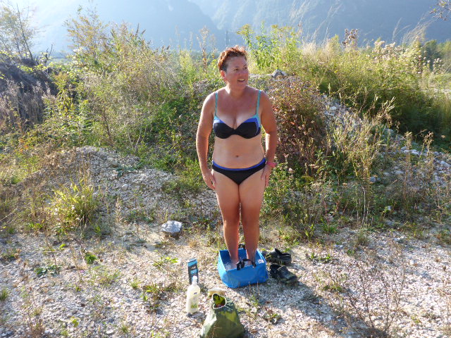
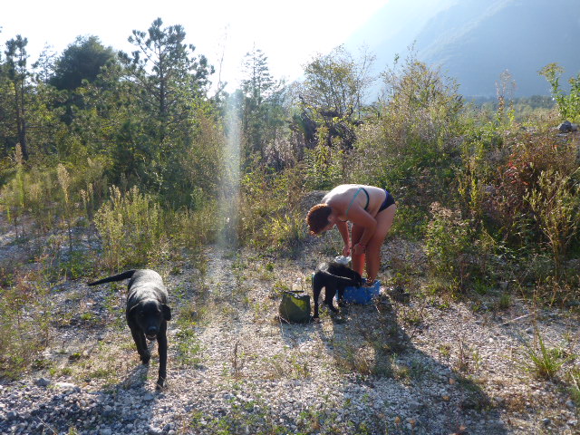
After setting off again we cycle a little then decide it’s too good an opportunity to pass up. We backtrack and are soon paddling and dunking in the very chilly, but crystal clear waters of the river. I grab some water in our collapsible bucket and have a sponge bath on the banks. As I’m doing this a lady walks by with her black lab and her 3 month old puppy who decides to join me in the bucket of water!!
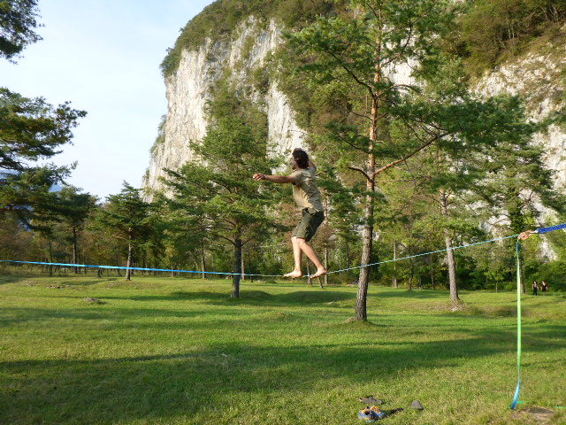
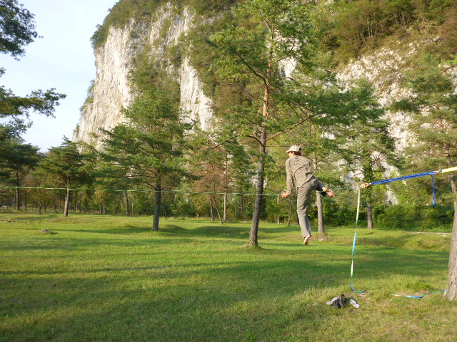
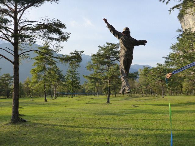
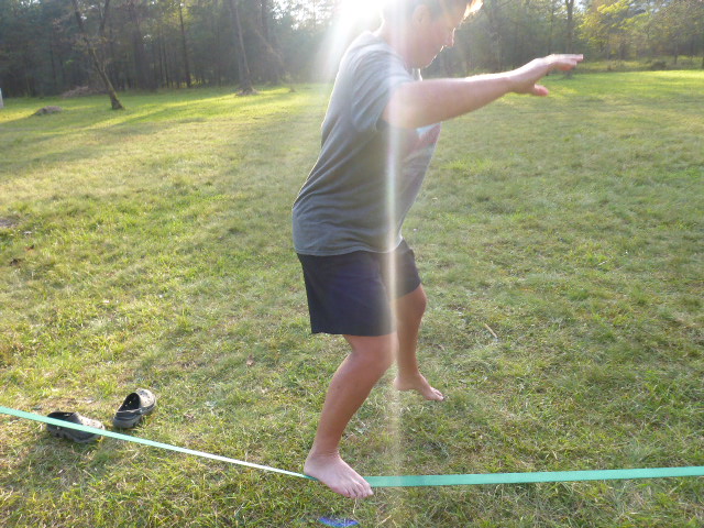
We chat with the lady and she says she is with some slackliners who are practicing in a wooded park not far down the track. So once we are clean and dressed again we cycle over. There’s a small group of guys practicing on some slacklines hung between trees. They make it look so easy, but when we have a go it’s anything but!!
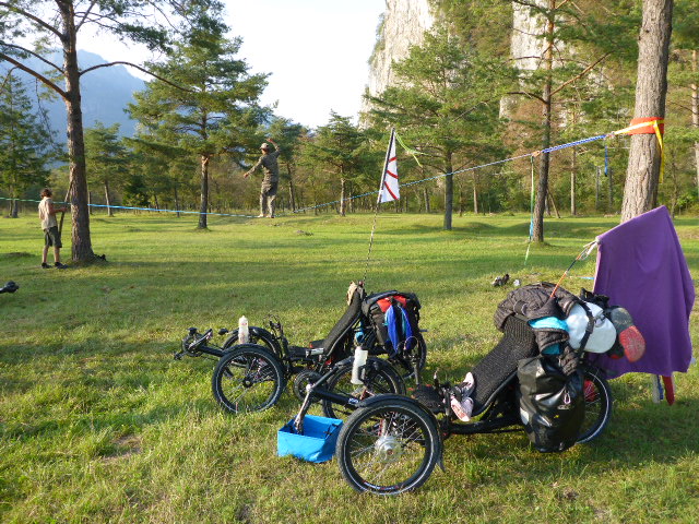
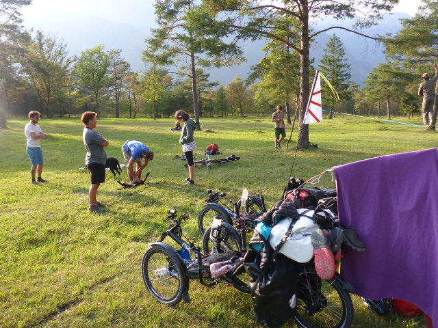
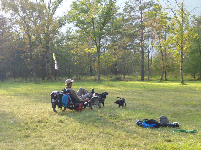
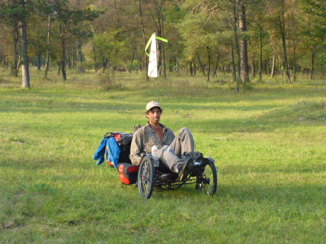
They love our trikes and have a go riding around the park. We decide that we’ve had enough cycling today and set up camp off to one side of the grassed area. The guys reckon we will not be disturbed during the night. Dinner tonight is our firm favourite, egg and bacon rolls with cups of tea!!
Thursday 29th September
Soverzene to Ponte della Priula
Distance: 60.57 km
Average: 11.94 kmh
Top Speed: 53.14 kmh
Total Distance: 8352.12km
In the morning we cycle along the Cellina canal until we reach Santa Croce Lake, a mecca for windsurfers and kitesurfers.
As we cross the Tesa stream on a long wooden bridge we pass some adults escorting some adolescents with learning difficulties. One of the girls throws her baseball cap off the bridge into the stream below, about 10 metres down. Daz offers to help and runs along the bridge, down a steep bank and wades across the many streams feeding the lake and finally rescues the hat from the stream below. Rounds of applause all around. We continue to cycle along Santa Croce lake, at the foot of the Alpago and Pascolet mountains. Unfortunately when we pass there’s no wind and no-one out on the water.
We then climb steadily on a quiet road to the end of phase 4 – the border of Treviso province, the Alpine border which connects Alpago with Val Lapisina. We spot a restaurant with a full carpark and check to see if they have a menu of the day. 12€ for 3 courses – delicious!
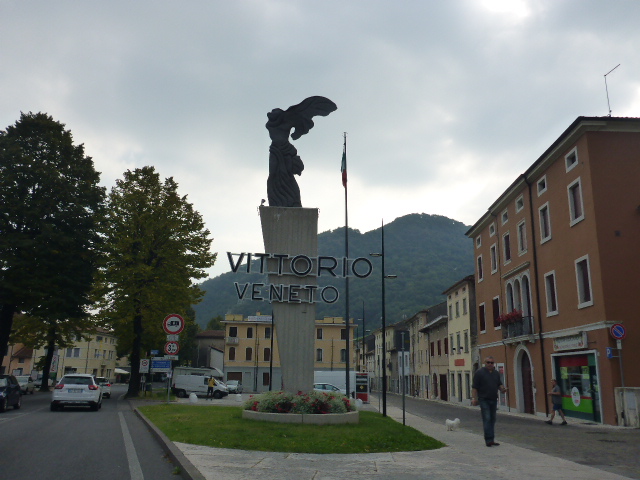
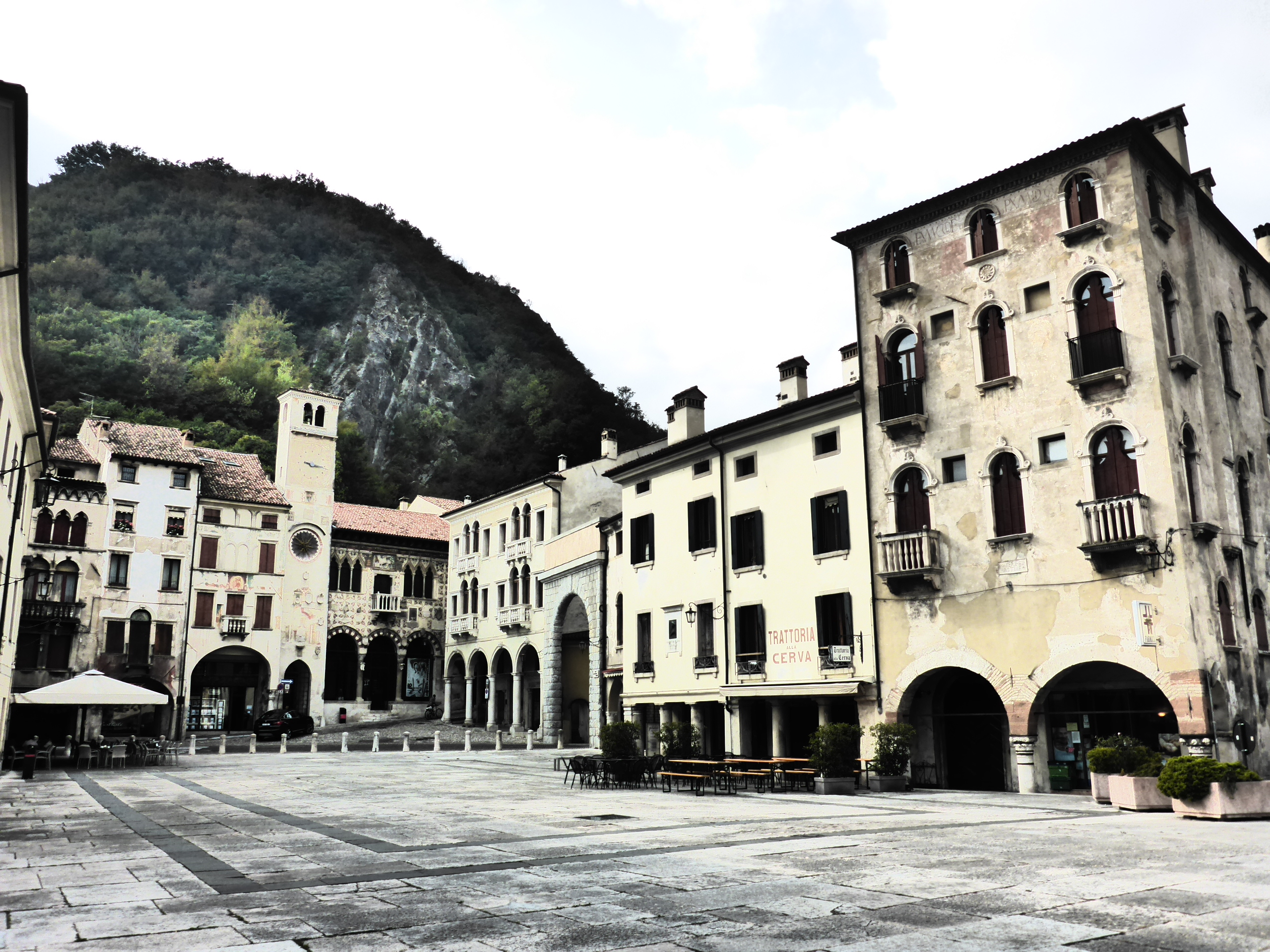
After our big lunch we’re lucky it’s a big steep descent with hardly any traffic ( thanks to the new motorway viaduct). It’s a very pretty area with 2 lakes, the second one, Morto Lake, is fed by karst underground basins. It’s not long before we arrive in Vittorio Veneto -’ a must-see’ according to the guidebook.
Vittorio Veneto, a city born in 1866, the union of Serravalle and Ceneda, with beautiful palaces, old houses and some old taverns. It’s the birthplace of Alessandro Tandura, the first parachutist in the world in war action.
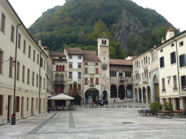
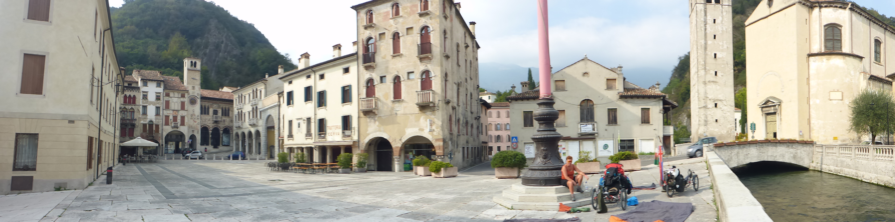
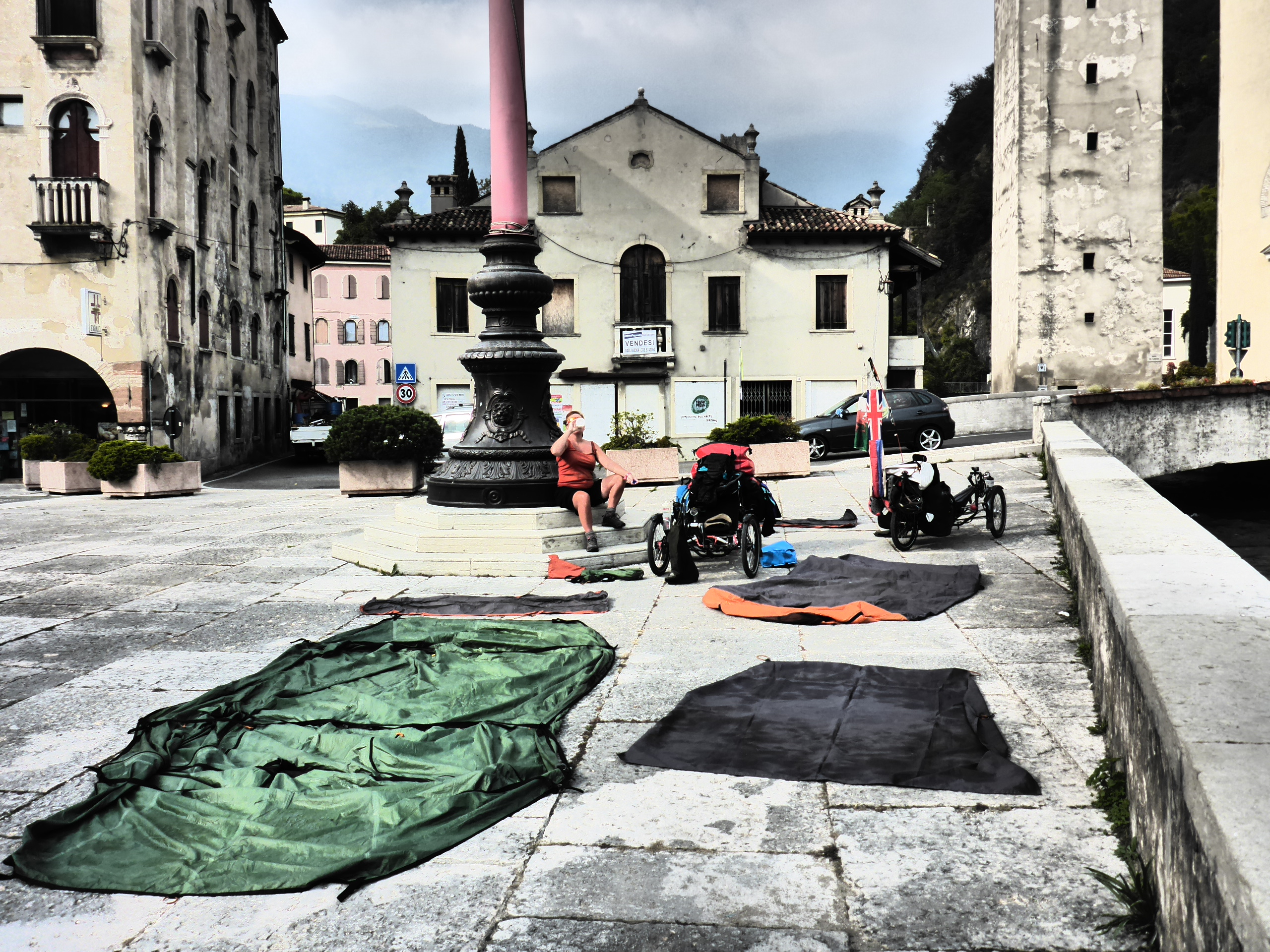
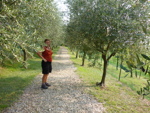
We stop in piazza Flaminio with the Grand canal running along it. It’s very pretty and we sit and dry the tent. Once we leave the town we cycle along the Meschio River, through splendid vineyards, the Prosecco vineyards, and we spot river birds, small waterfalls and fishermen on the river banks.
A couple of short steep climbs with reciprocal descents and we arrive in Conegliano with it’s picturesque castle. We cycle to the centre by theatre and as we are in the Prosecco capital enjoy a glass of the sparkling wine… very refreshing.
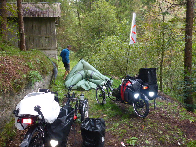
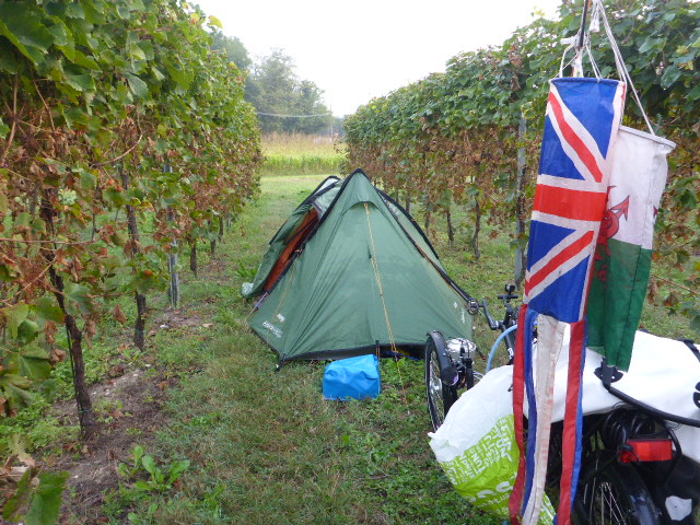
We cycle out of this town on busy roads, it is rush hour after all. And finally after crossing the Ponte della Priula we’re back in the countryside and manage to find a wild camp site between some vines.
Friday 30th September
Ponte della Priula to Monastier di Treviso
Distance: 68.64 km
Average: 11.85 kmh
Top Speed: 39.93 kmh
Total Distance: 8420.76km
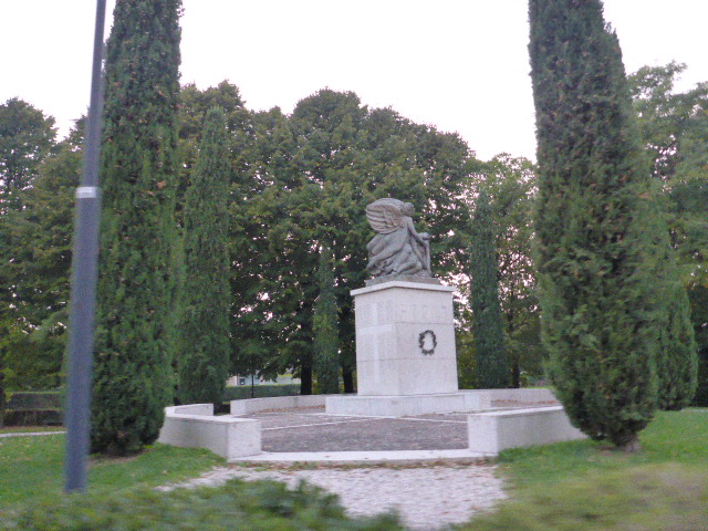
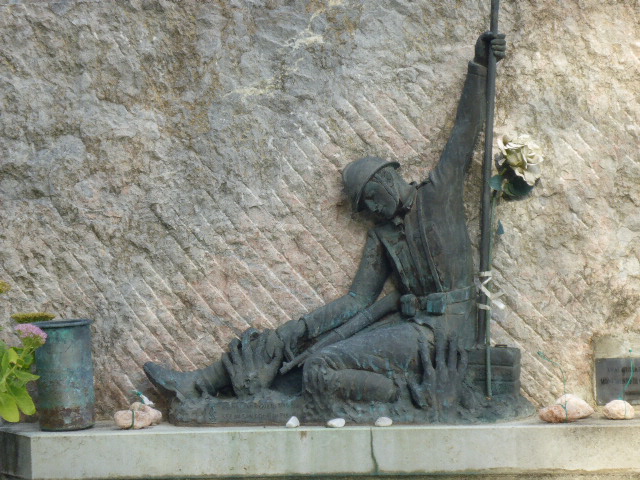
It was a good wild camping spot last night except for its proximity to a quarry, extracting gravel from the Piave, which started up at 6am which disturbed Darren and his beauty sleep. He thought it was a train, the longest train in the world, and then he realised it was the quarry machinery! We stop in Nervesa to have a coffee and to charge our camera and phone (the downside of wild camping and a broken Son dynamo). Here there’s the Nervesa della Battaglia Military Memorial ; here lie 9235 Italian soldiers most of whom died during the Solstice Battle (June 1918), the last desperate Austrian onslaught.
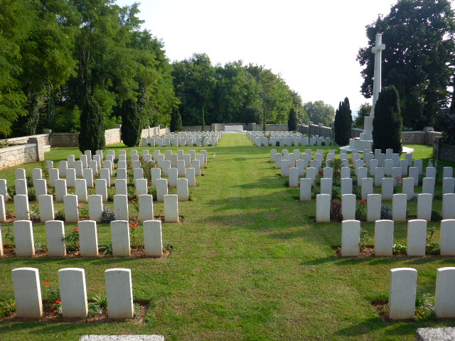
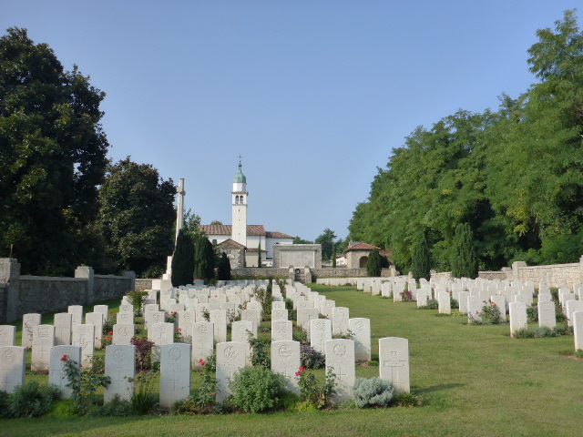
Our cycle path takes us along the Bosco canal. I love these cycleways, barely any traffic and I can watch the water flowing in the canals, look for fish and birds and look at the various plants. It’s not too onerous by any stretch of the imagination. Autumn is definitely here, the leaves on the trees are changing colour and falling to the ground. We stop at the British Cemetery; 417 white tombstones for those who fell at the Italian front during the first world war.
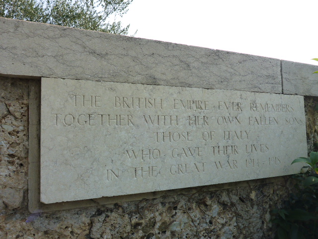
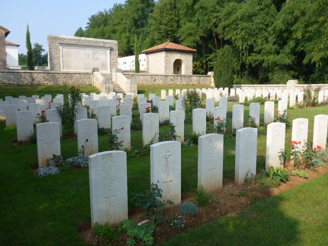
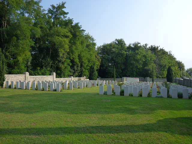
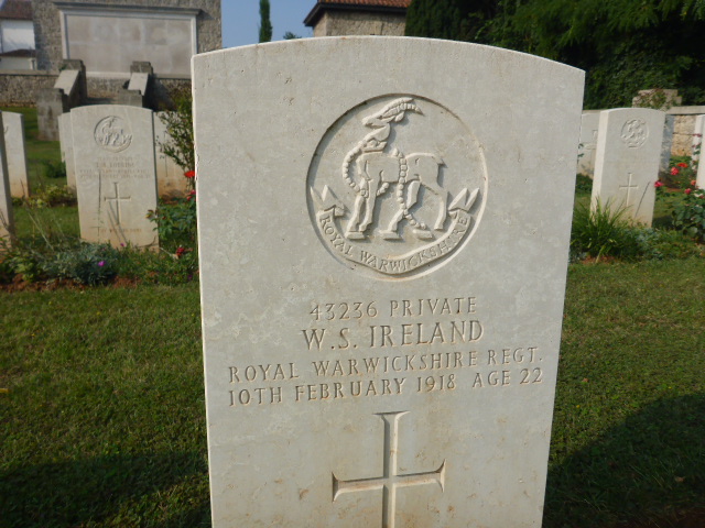
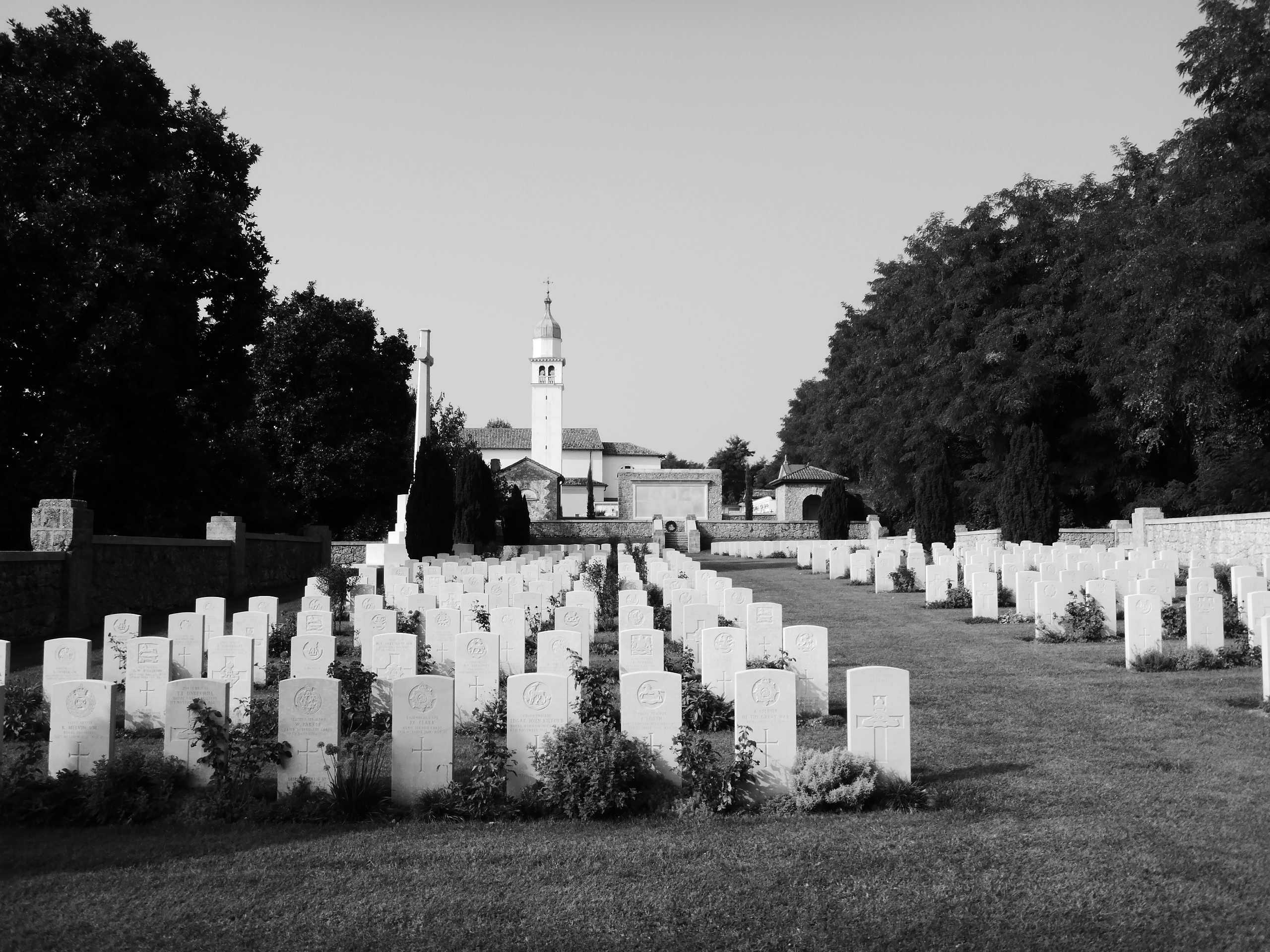
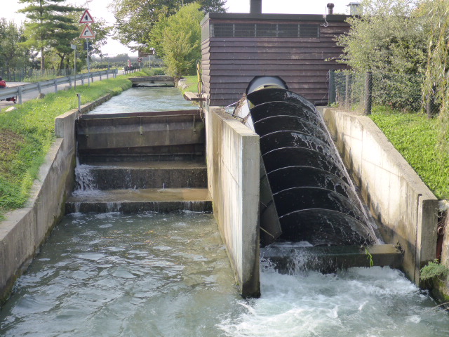
A sobering experience reading the gravestones, these men died so young and the engravings are so moving. We continue along the canal, fascinated by the hydroelectric installations and archimedes screws that occur periodically . The main water channel is closed and water diverted down the screw, thus generating power.
The route to Treviso zigzags through the countryside, but finally we reach the historical centre of Treviso. With its dreamlike canals, its surrounding integral walls, the historical houses, the arbours and the evocative plazas making Treviso a masterpiece of which piazza del Signori is the centre.
It has a delightful atmosphere but we head to McDonald’s for a charging and WiFi Fest! We follow the river out and soon find a quiet park for an early dinner and to dry the tent before going on to find a wild camping site for night. We reach Roncade with its pretty castle. But the sun has set and we don’t have time to explore.
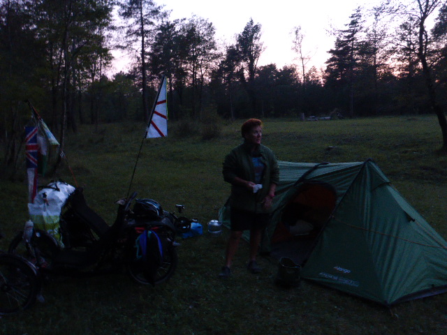
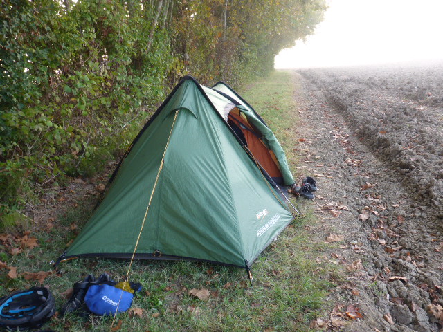
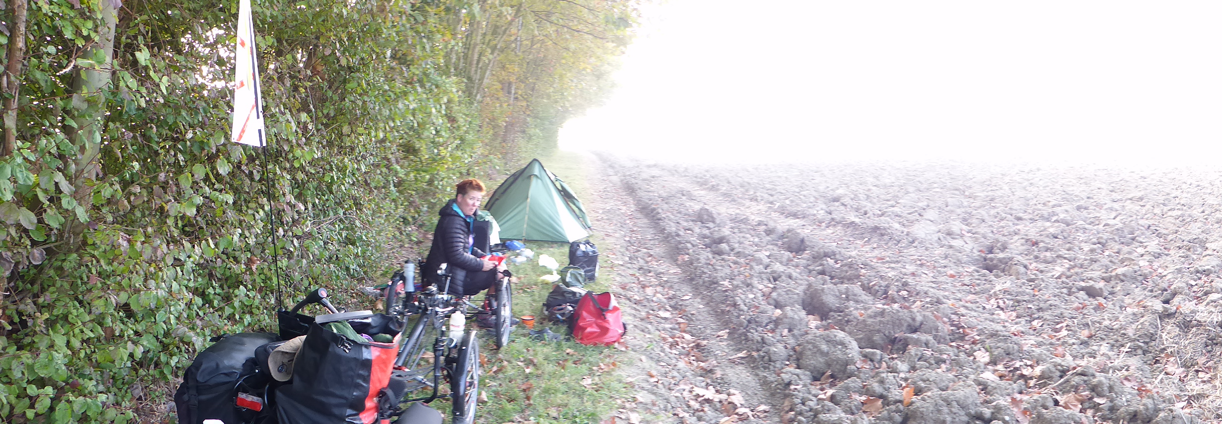
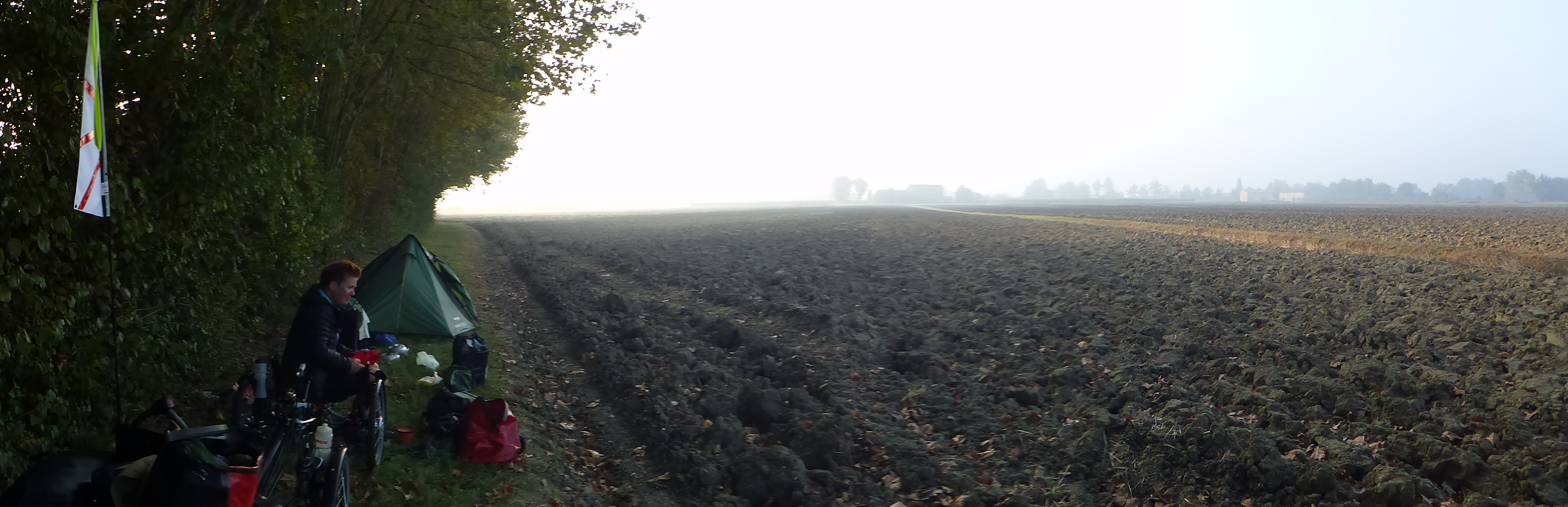
We ask the Carabinieri if there is somewhere to camp, hoping they will put us up in the station house – no joy. It’s Dar now and we stop in a vineyard but when we put the tent up we realise the groud is too rough and uneven to allow a good nights sleep. We pack up again. Another couple of km’s and we turn off the main road looking for a spot by a river we can see on the map. However the road is elevated with steep banks so it’s a while until finally Daz pulls into an access point to a field. We slip through the gate and set up camp on the side of a plowed field. Kettle on for a cup of tea and then it’s straight to bed.
Saturday 1st October
Monastier di Treviso to Caligo
Distance: 40.19 km
Average: 10.01 kmh
Top Speed: 28.58 kmh
Total Distance: 8460.95 km
This morning we are woken early by some hunters who park up nearby then walk past our tent, how rude! At least they were out of range before commencing firing. We cycle through Monastier and stop for coffee and charging our electronics. It’s great watching different cultures in their daily lives. The Italians are much more open and effusive when meeting and greeting people.
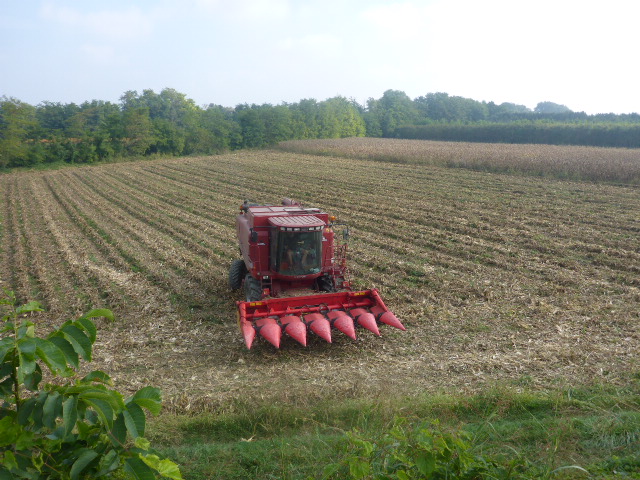
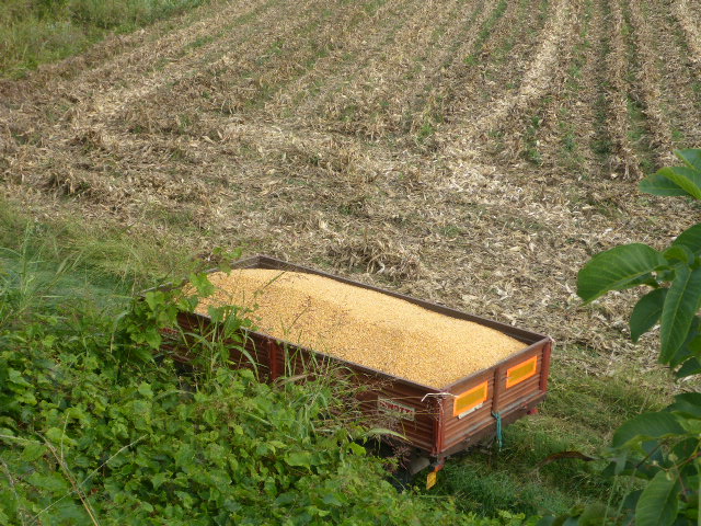
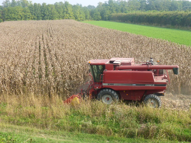
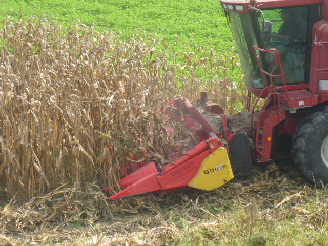
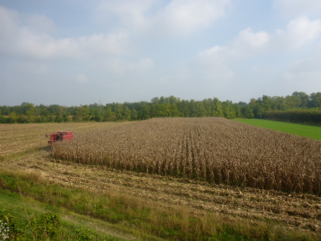
Today we are following the Piave river again, but a lot of the track is rough pebble and quite slow going. We finally see sweet corn being harvested. I say finally because we’ve seen so many fields of sweet corn and Daz often steals a head or 2 and now it’s being harvested. It goes in the harvester whole and comes out as the individual kernels but how? We are still none the wiser.
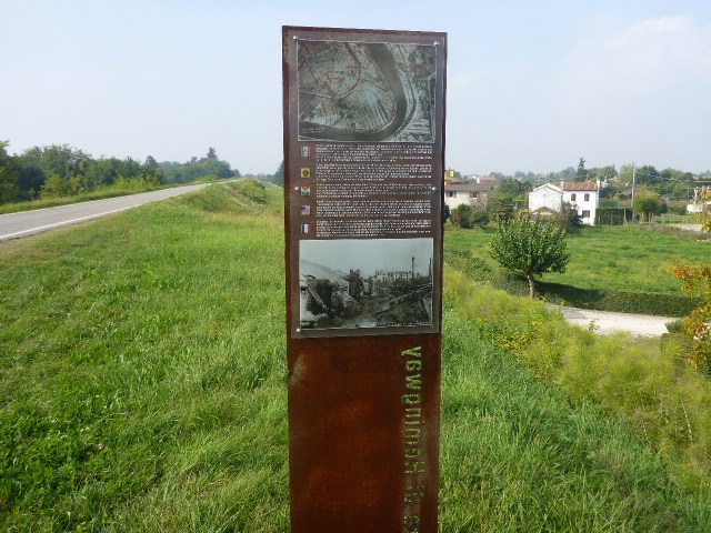
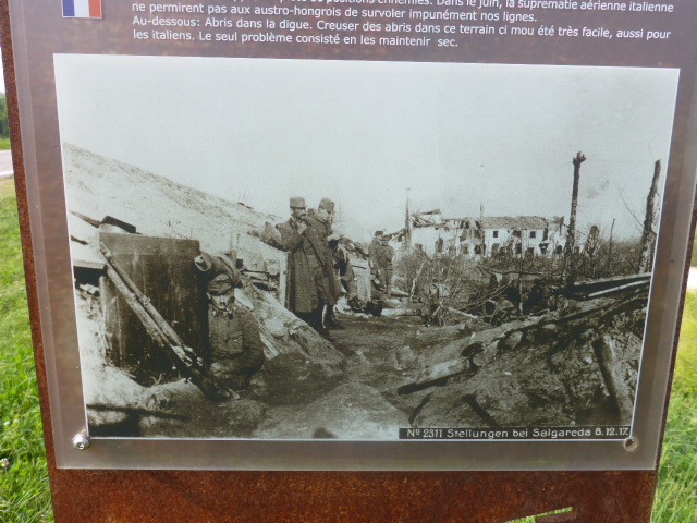
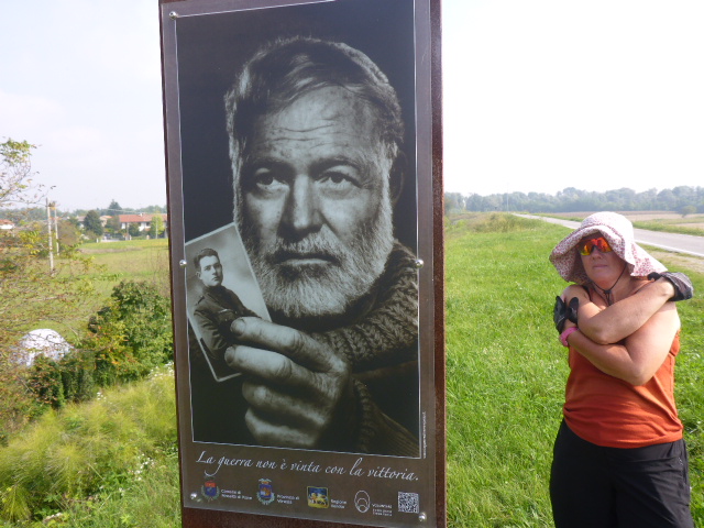
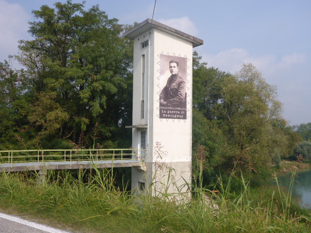
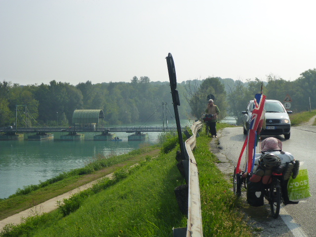
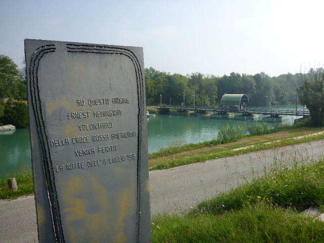
As we cycle along there are lots of information boards with photos from the Great War as there was a lot of fighting in the area. There are also details about Ernest Hemingway who fought and was injured here.
Later in the afternoon we reach San Doña di Piave. Here we see the cathedral and the lovely square with the town hall.
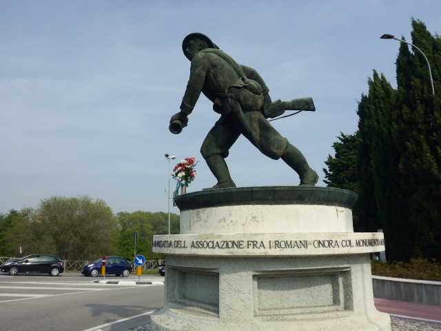
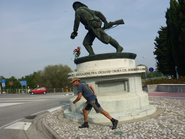
After crossing the Victory Bridge we see the Monument to the Bersagliere Soldier, a replica of the one in Rome.
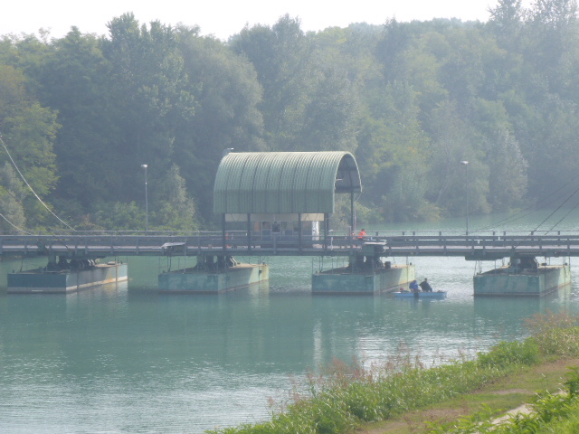
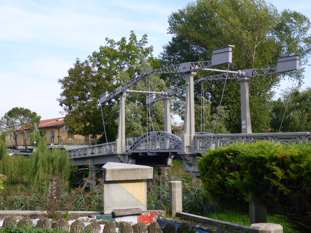
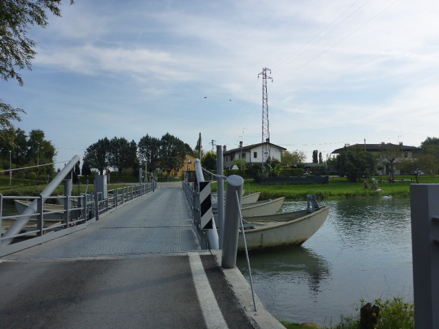
Now we are nearing the Venetian lagoon and after crossing our second pontoon bridge of the day we reach Caposile and get our first glimpse. But again the track is rough and now with a headwind.
We were hoping to reach the campsites on the Lido but fatigued after 8 days of tenting we weaken and book into a lovely Agri Hotel out in the countryside. These guys make their own wine and it would be rude not to sample… delicious!
Sunday 2nd October
Caligo to Punta Sabbioni
Distance: 30.12 km
Average: 12.09 kmh
Top Speed: 18.81 kmh
Total Distance: 8491.07 km
A very relaxing night. Civilisation is just great: a real bed, hot water, electricity galore, and WiFi. We even managed to watch a new series, The Vice Principal – thanks Carl. Unfortunately a bit on the pricey side: the laundry we thought she was doing for free was very costly as was the drink she offered us on our arrival. We stay as long as we can uploading this blog before completing our last leg. Unfortunately it starts to rain and the mosquitos are everywhere.
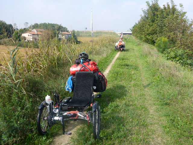
We cover ourselves in insect repellant but they seem to see this as a mere challenge to get to my very tasty blood supply. I react far more to their bites than Darren. We follow the river and pass some intriguing wooden huts by the water with pulley systems and frames hanging over the water.
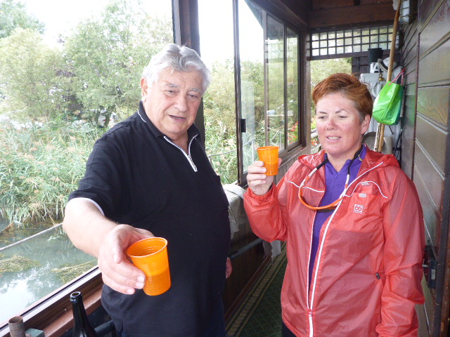
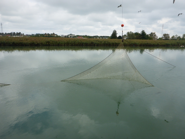
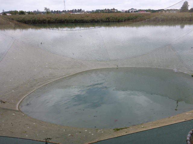
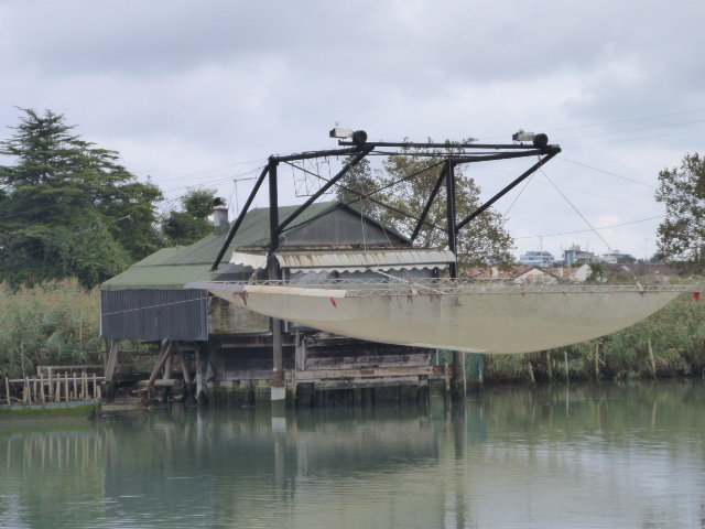
After a hundred metres Daz pulls over and decides to investigate one of the huts we have just passed. A group of older folk, one couple are in their 90’s. They are very happy to answer our questions and even show us what they are doing. They have a huge net that is raised and lowered mechanically into the river to catch fish. They show us their catch and share a glass of prosecco with us. They raise the net for us and all they’ve caught is a huge jellyfish. After that we leave the canals and lagoon and cycle down the main road. We just want to get to the end and the camp site.
The first one we think is a bit pricy, so we move on and soon are ensconced in a lovely place with all mod cons. Well that’s the end of the Munich to Venice cycle. It’s been amazingly beautiful and we have thoroughly enjoyed it. The majority of it has been away from main roads and much of it has been on rough roads but on the trikes its all been eminently doable! We really would recommend it to you all. Tomorrow we will start our sightseeing in Venice!!
3 replies on “Munich to Venice – 19th Sept to 2nd Oct”
Hiya
Enjoyed looking through your blog!
I’m planning to do this route in June on my cyclocross bike, how did you find the wild camping in general, was it easy to do? have never done it before – do you think it would be safe enough as a single person?!
Emma
Hi Emma, when we first started touring we were pathetically scared of wildcamping. We’d read advice from other tourers (some touring books) – go in at twilight and out at dawn. All rubbish and really not practical because you’ll be exhausted. No-one is bothered. There’s a Fb group ‘Bicycle Travelling women’ – full of women doing it solo. Good luck!
… [Trackback]
[…] Informations on that Topic: anywhichwayyoucan.co.uk/2016/10/munich-to-venice-19th-sept-to-2nd-oct/ […]