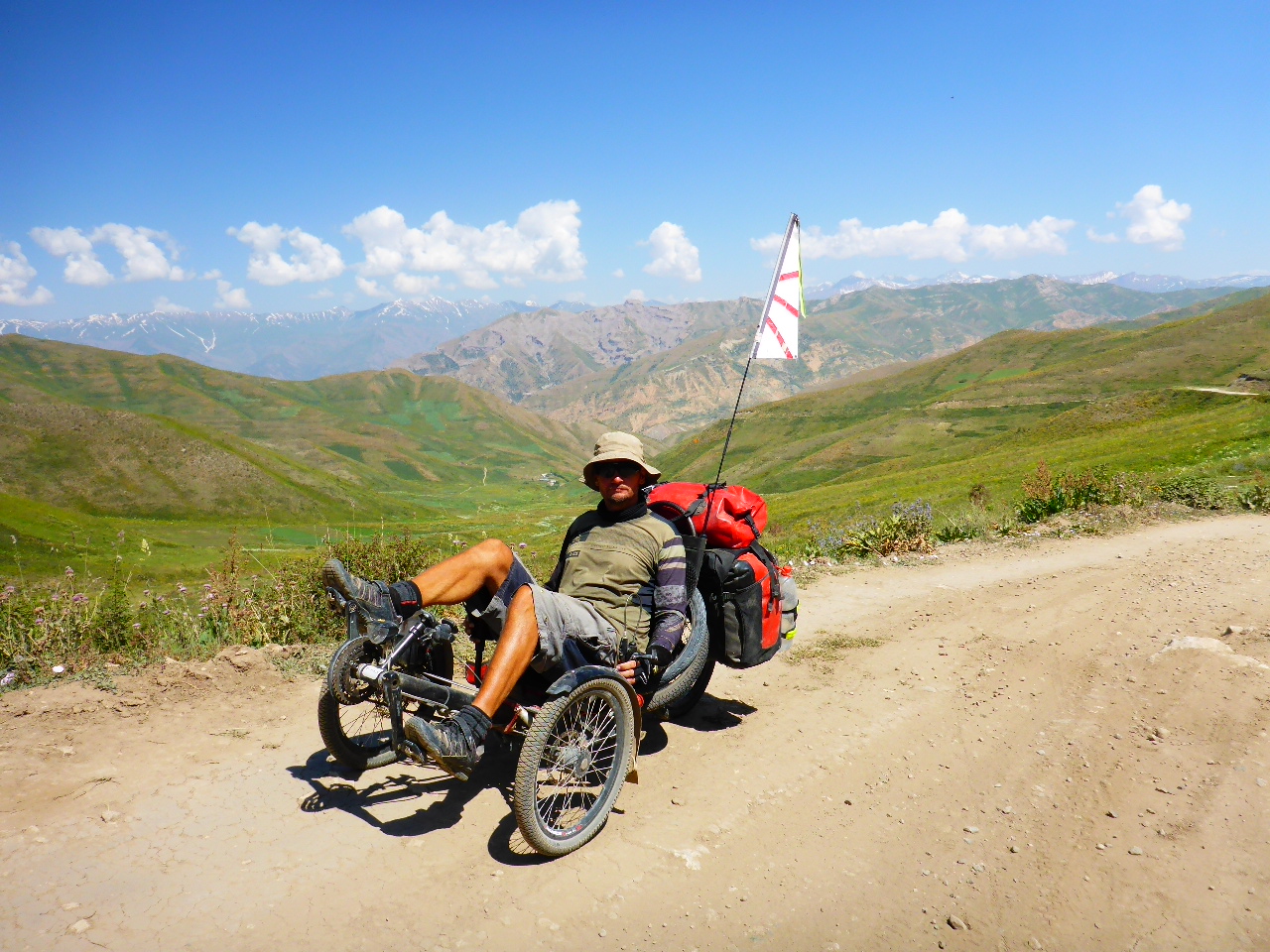
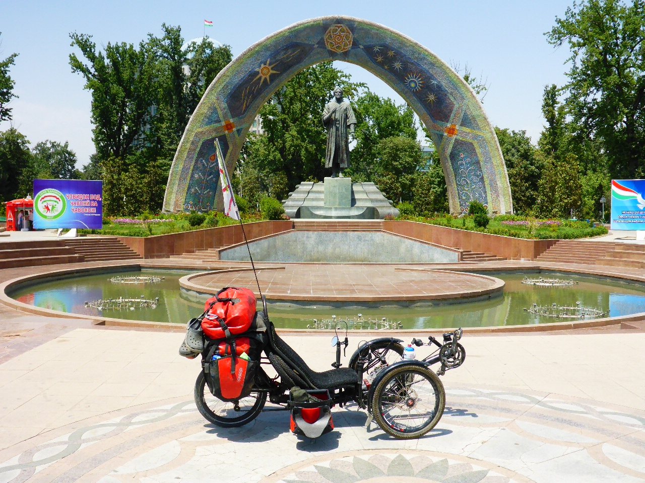
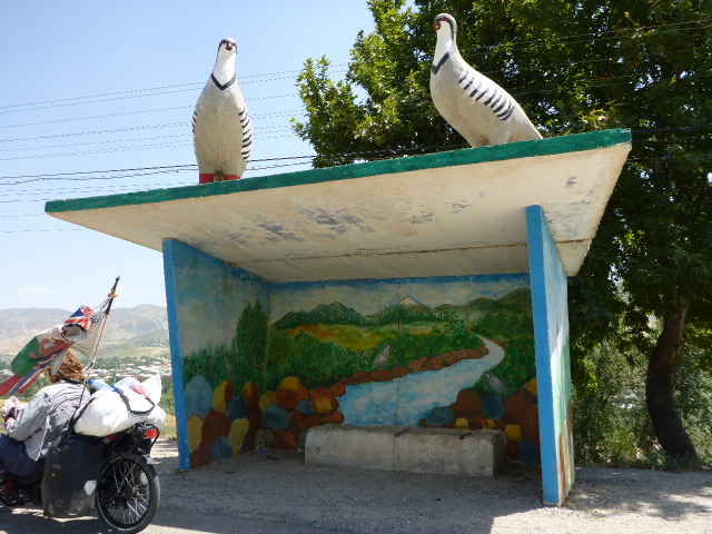
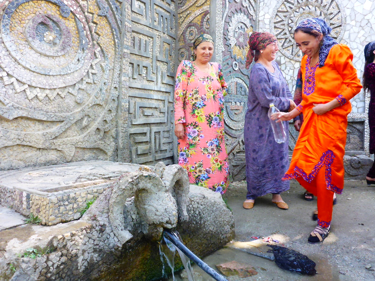
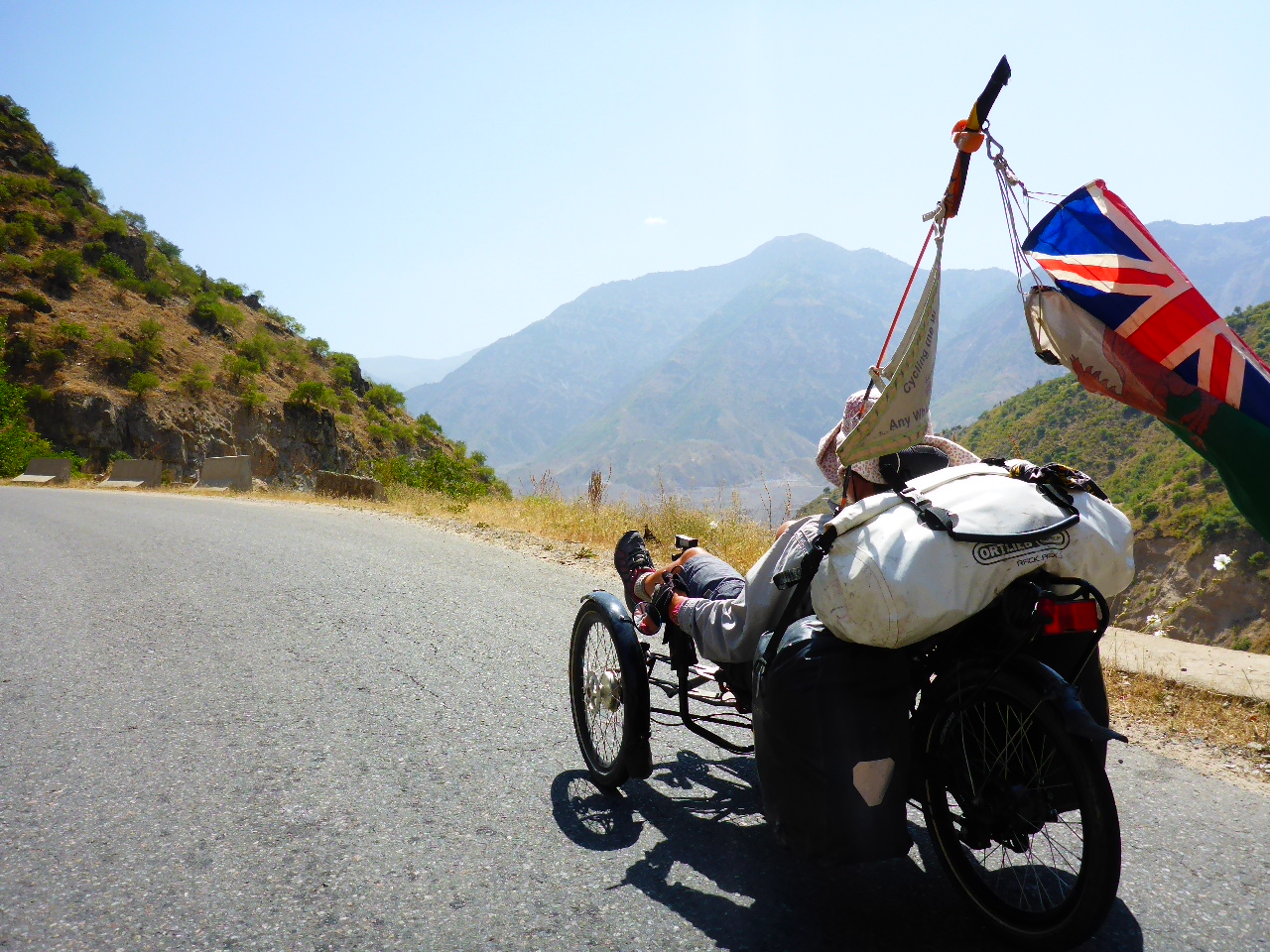
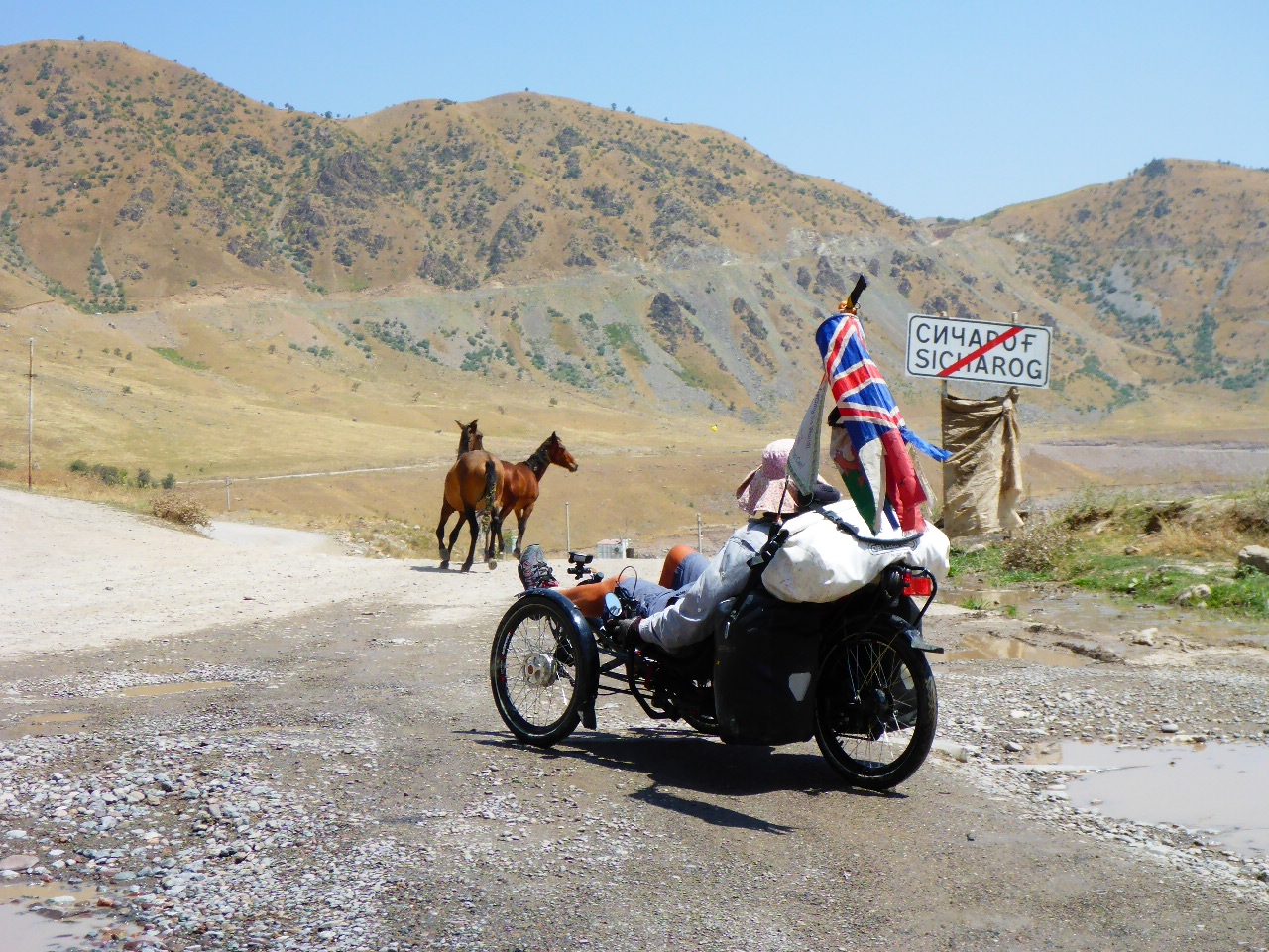
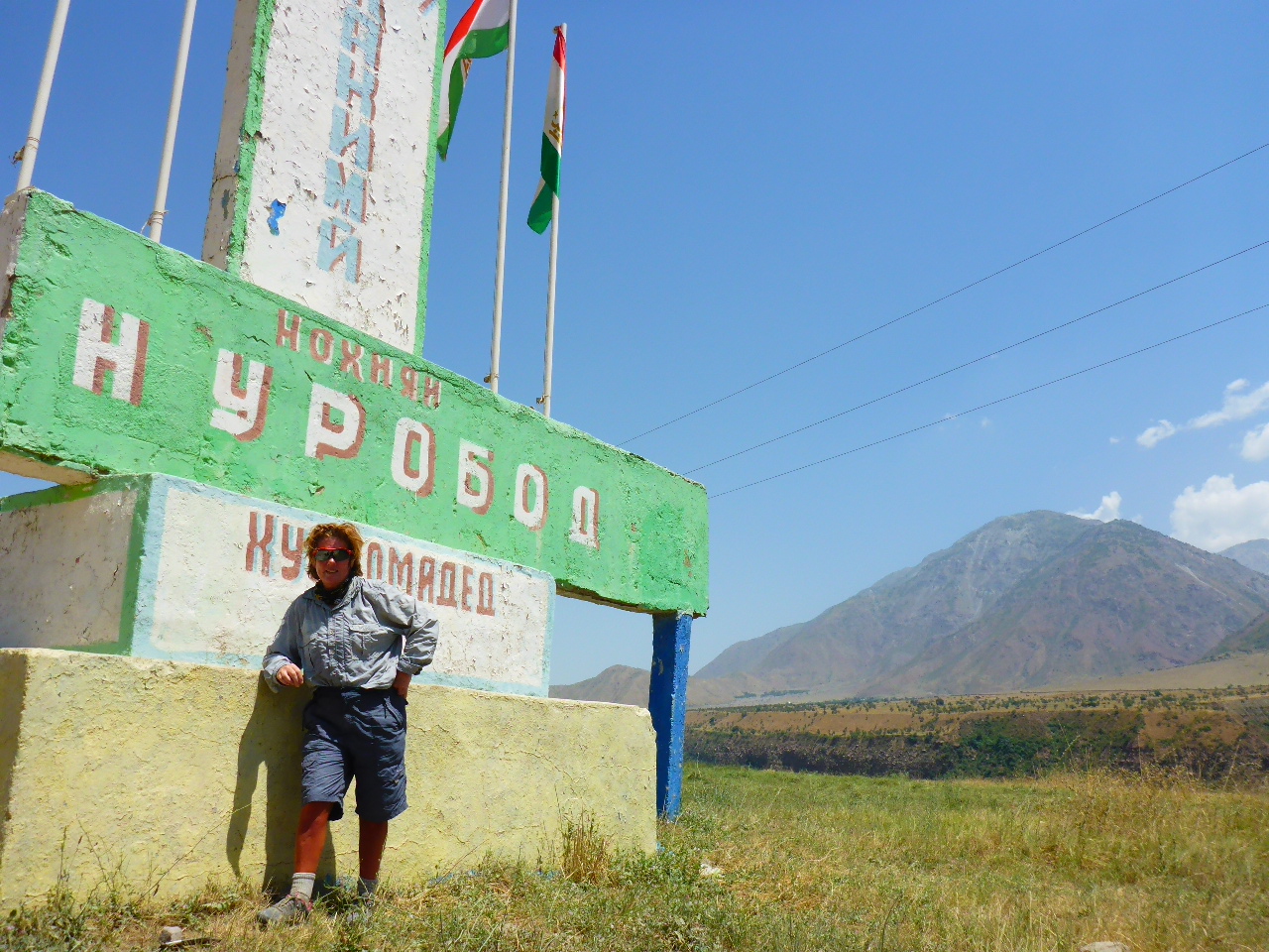
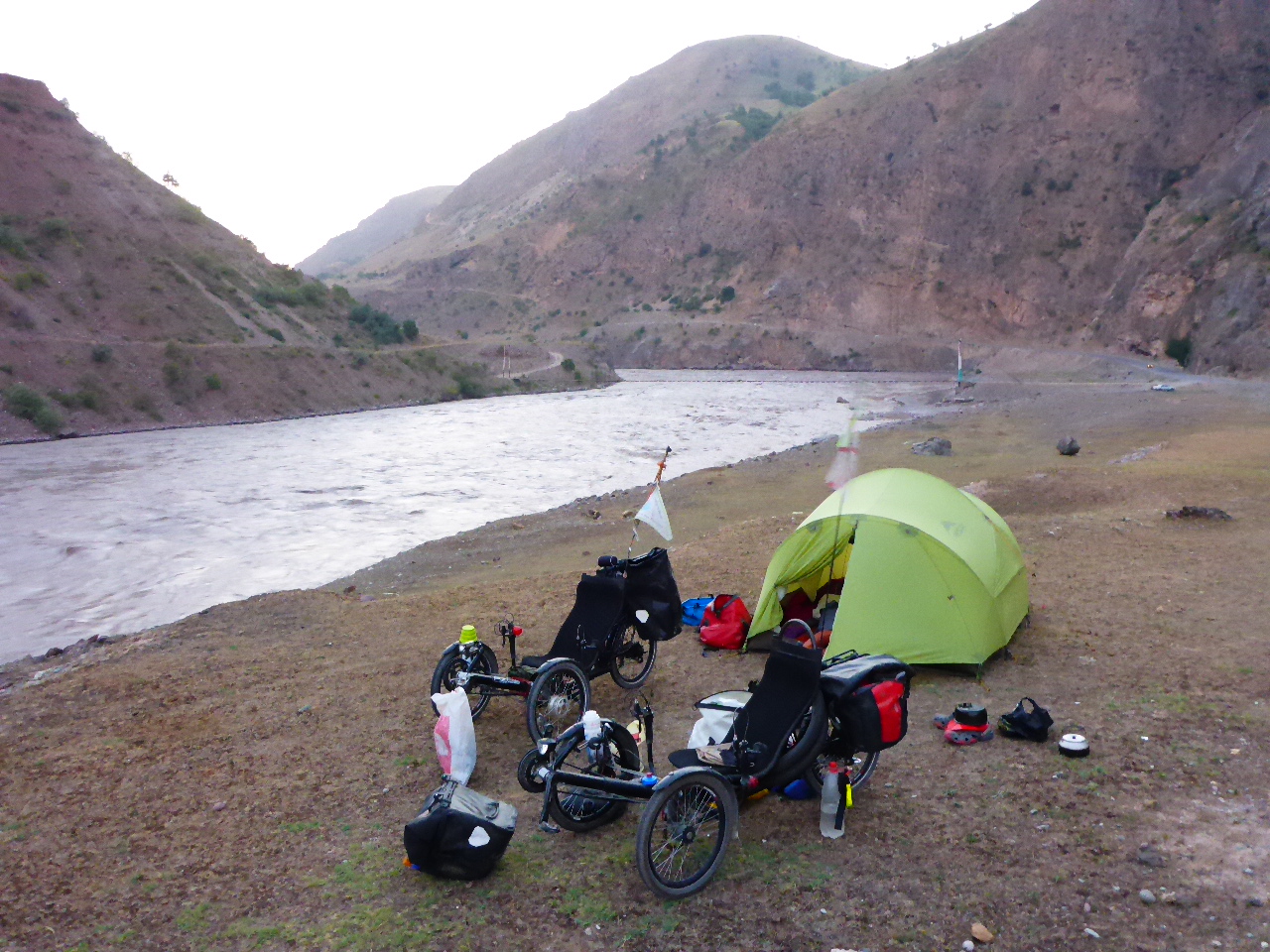
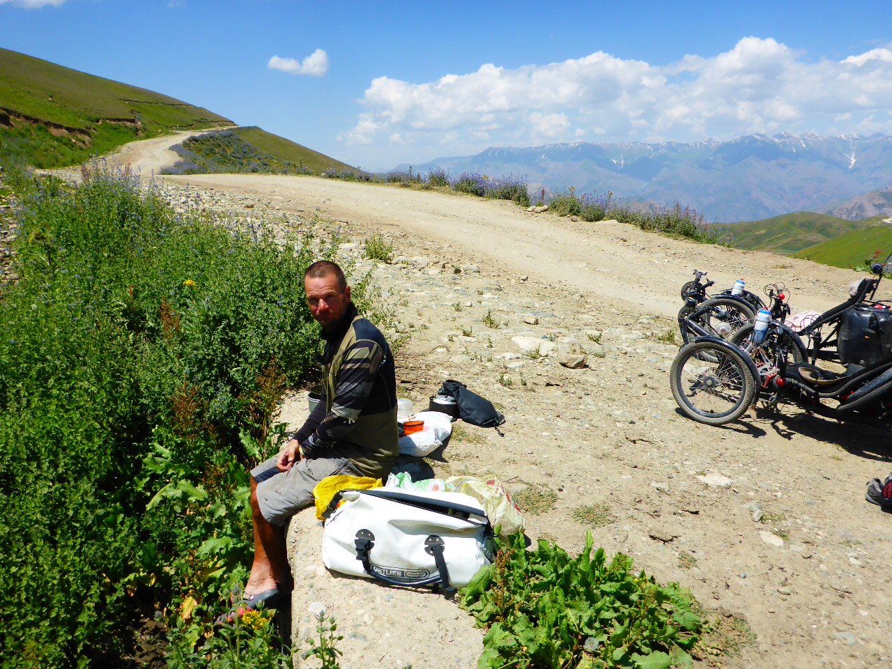
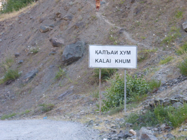
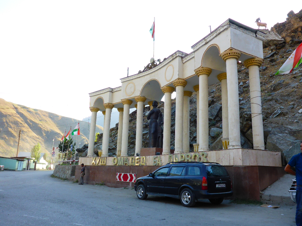
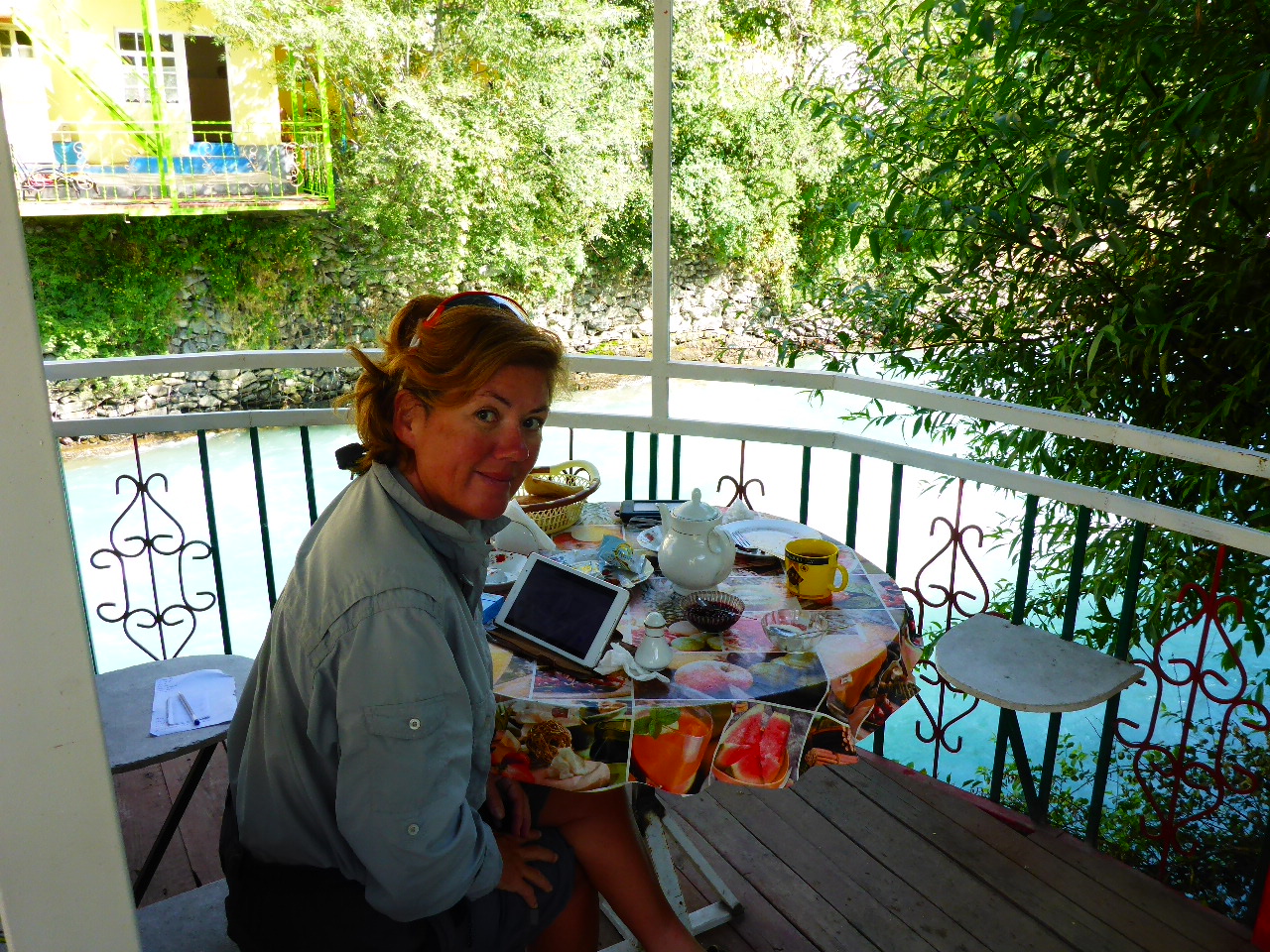
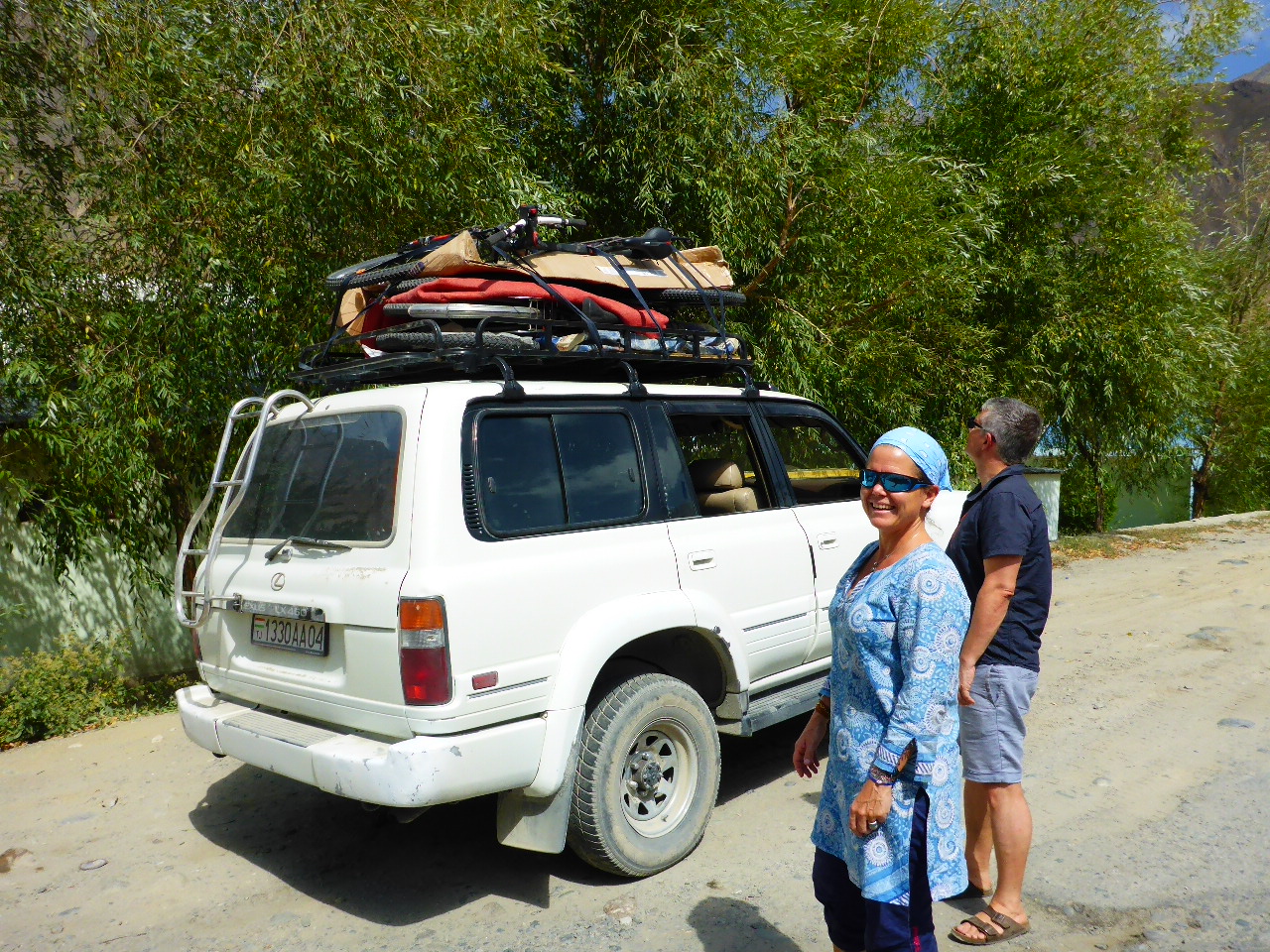
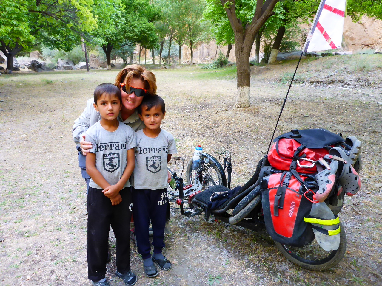
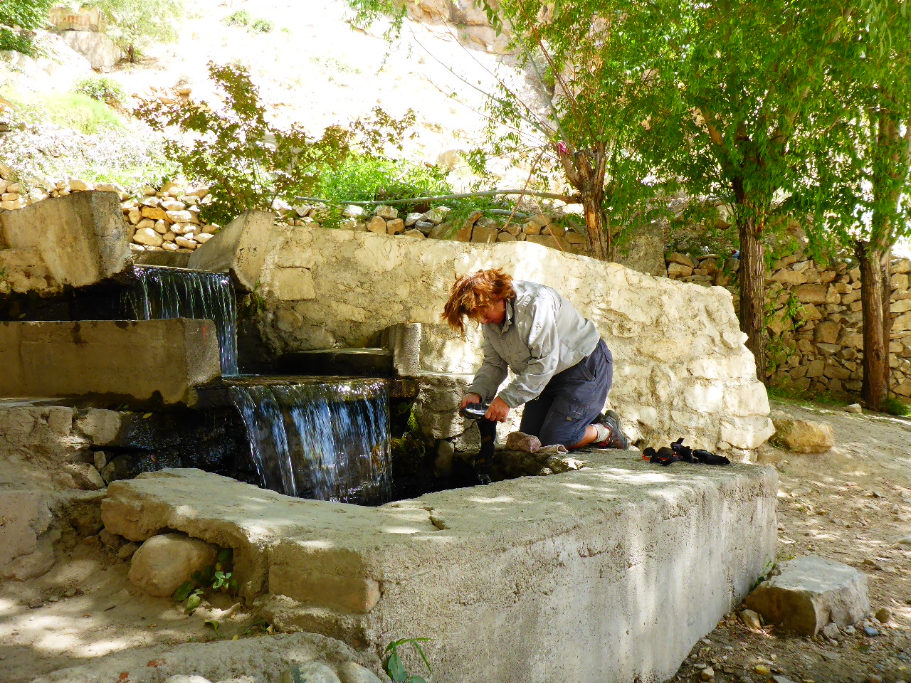
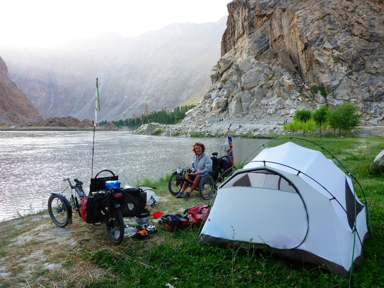
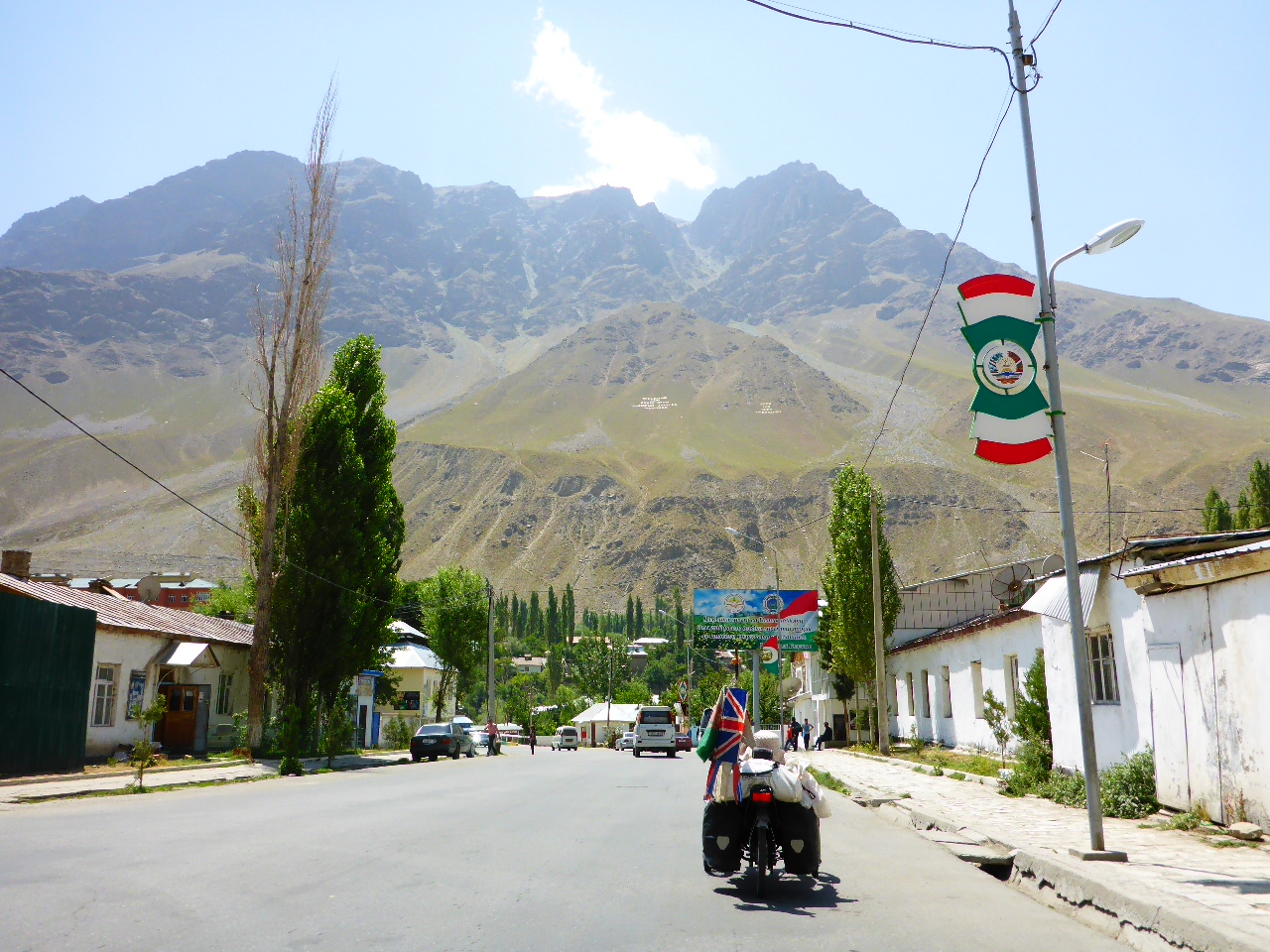
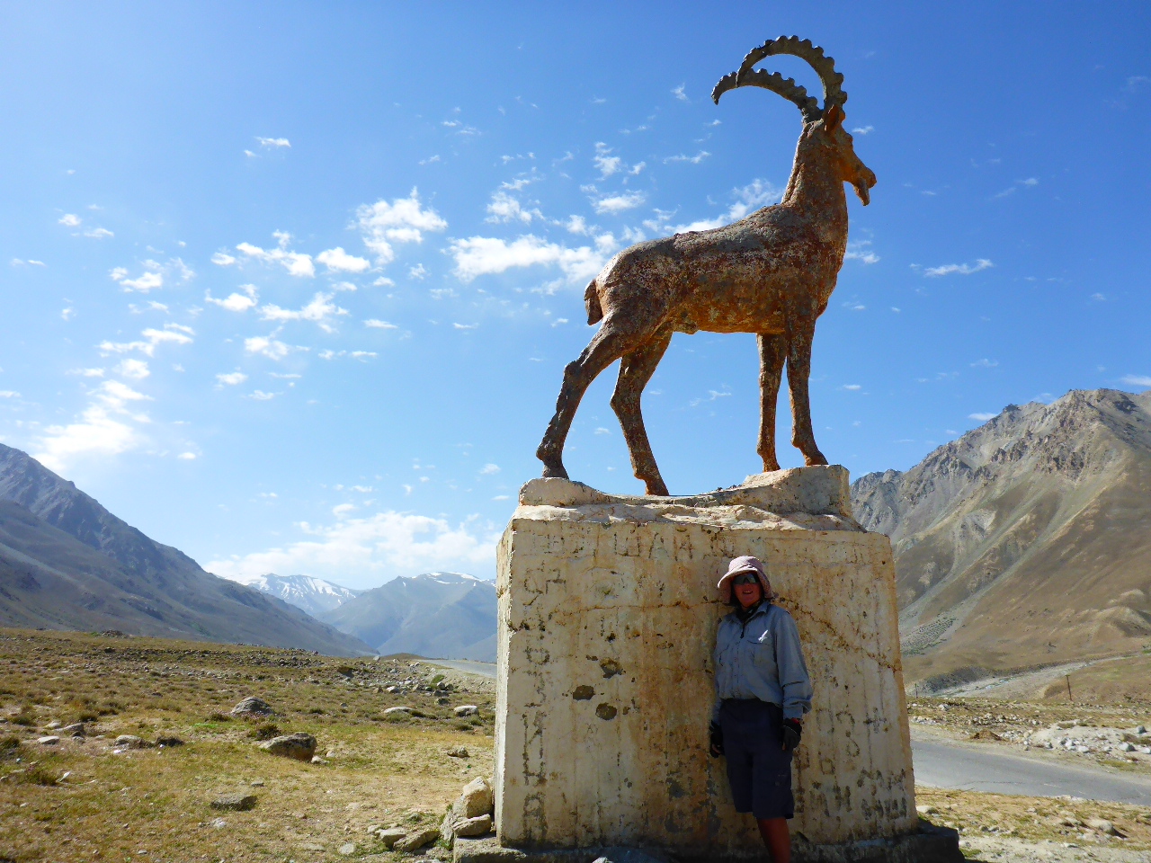
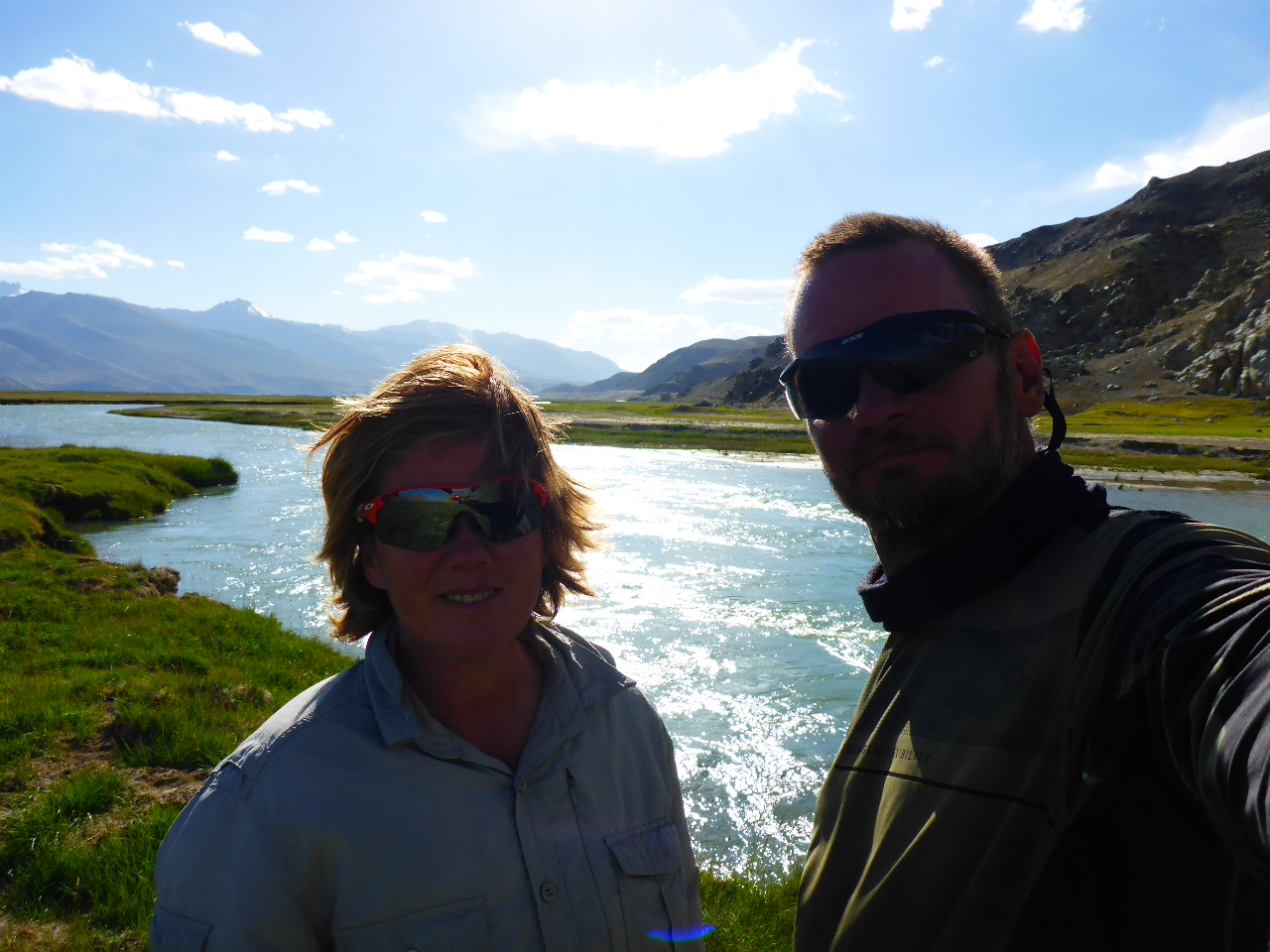
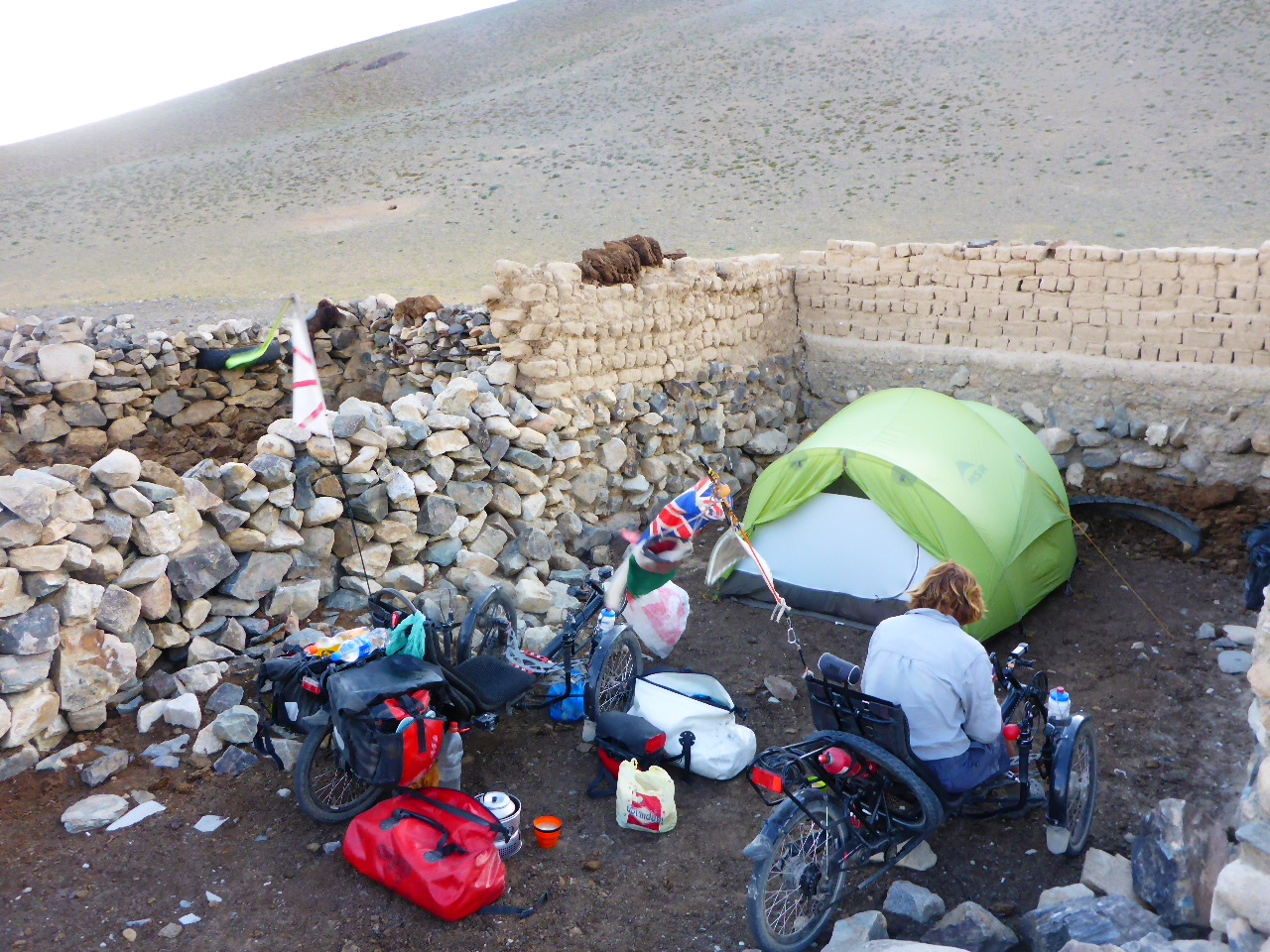
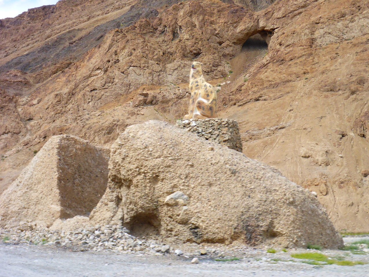
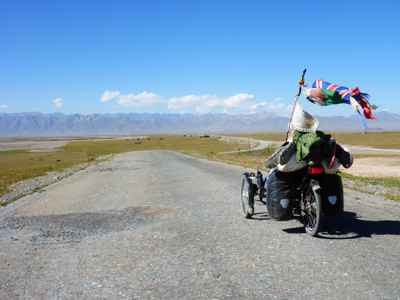
Khorog – 2/3 August
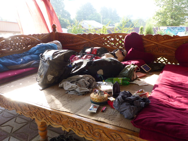
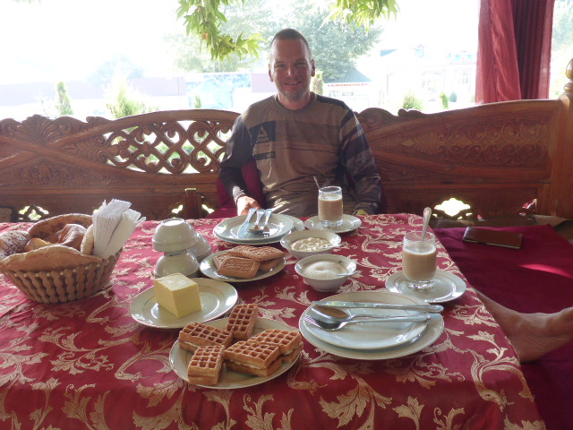
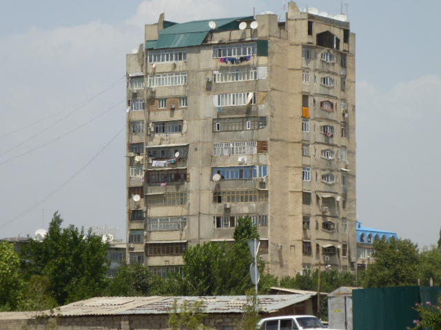
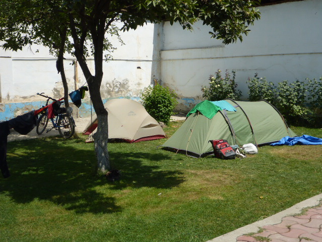
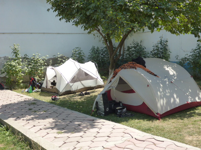
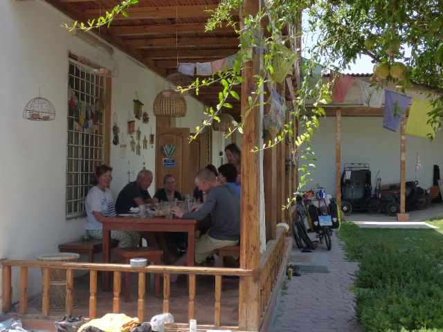
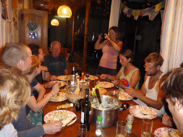
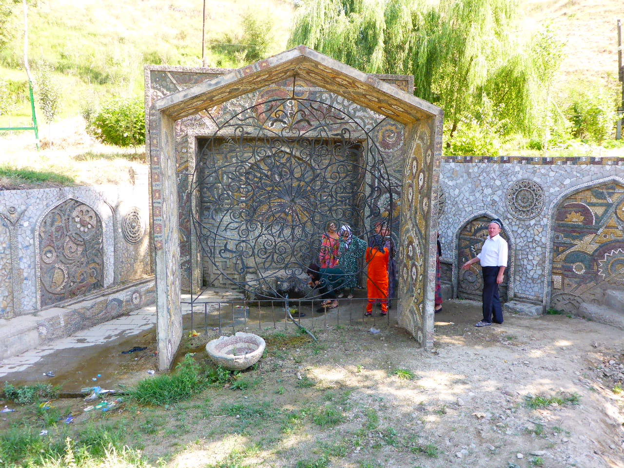
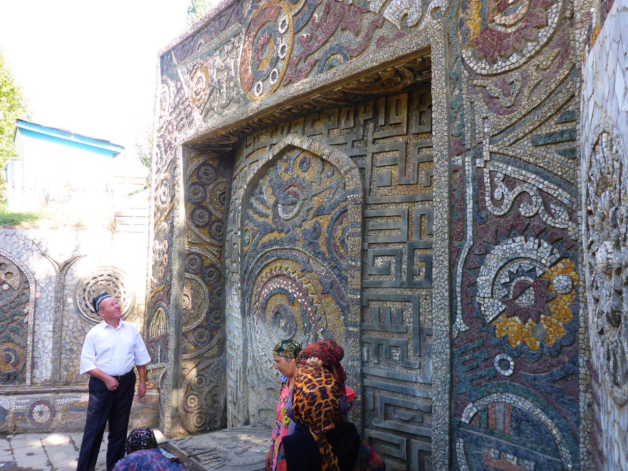
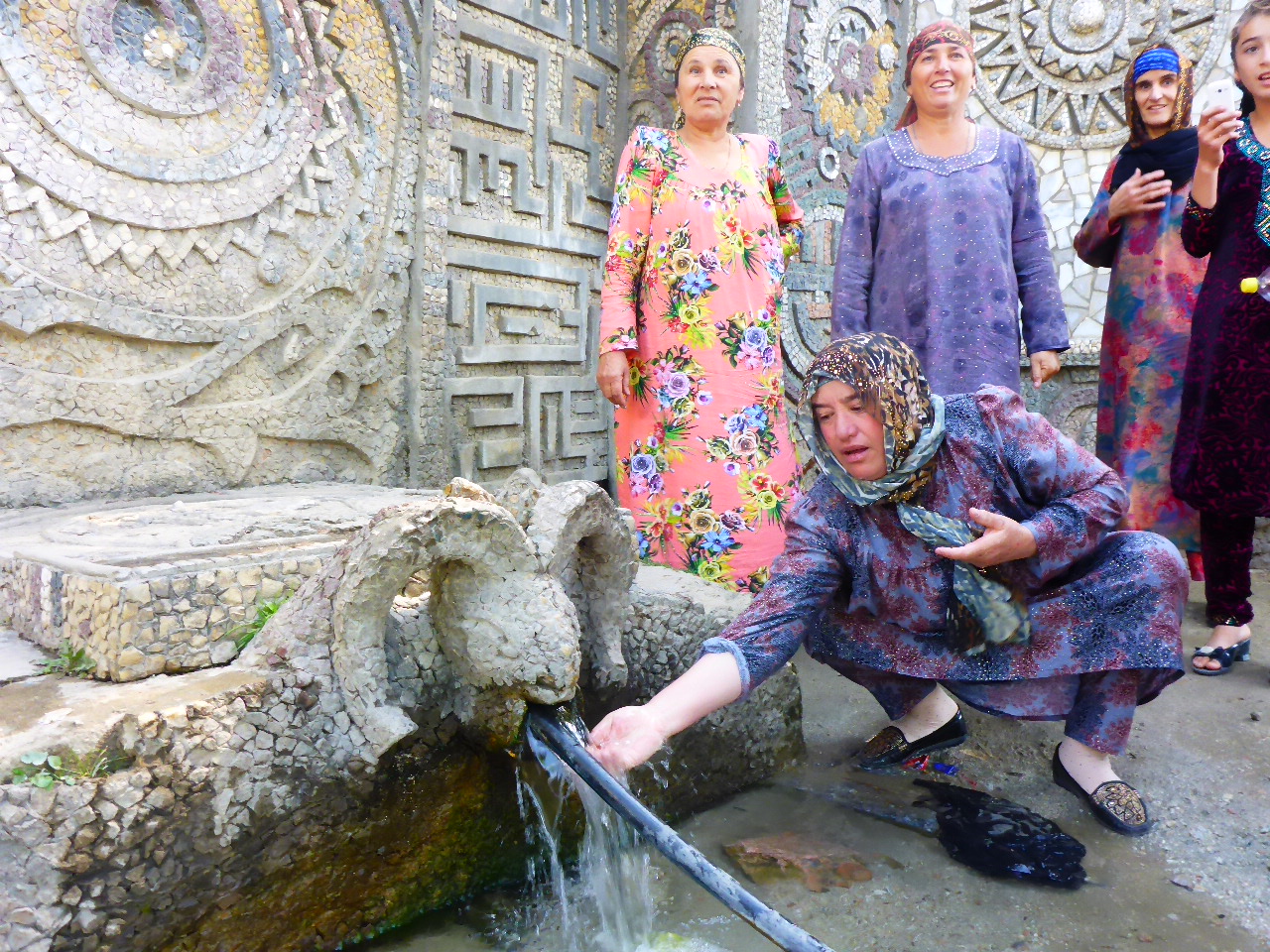
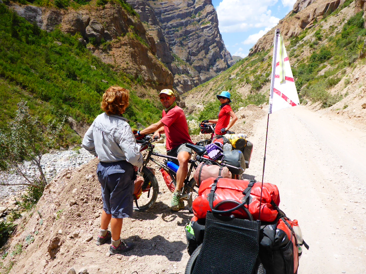
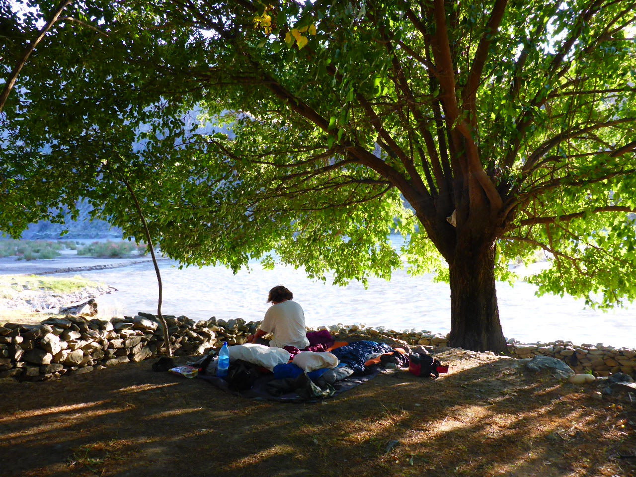
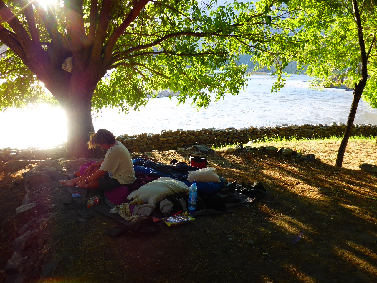
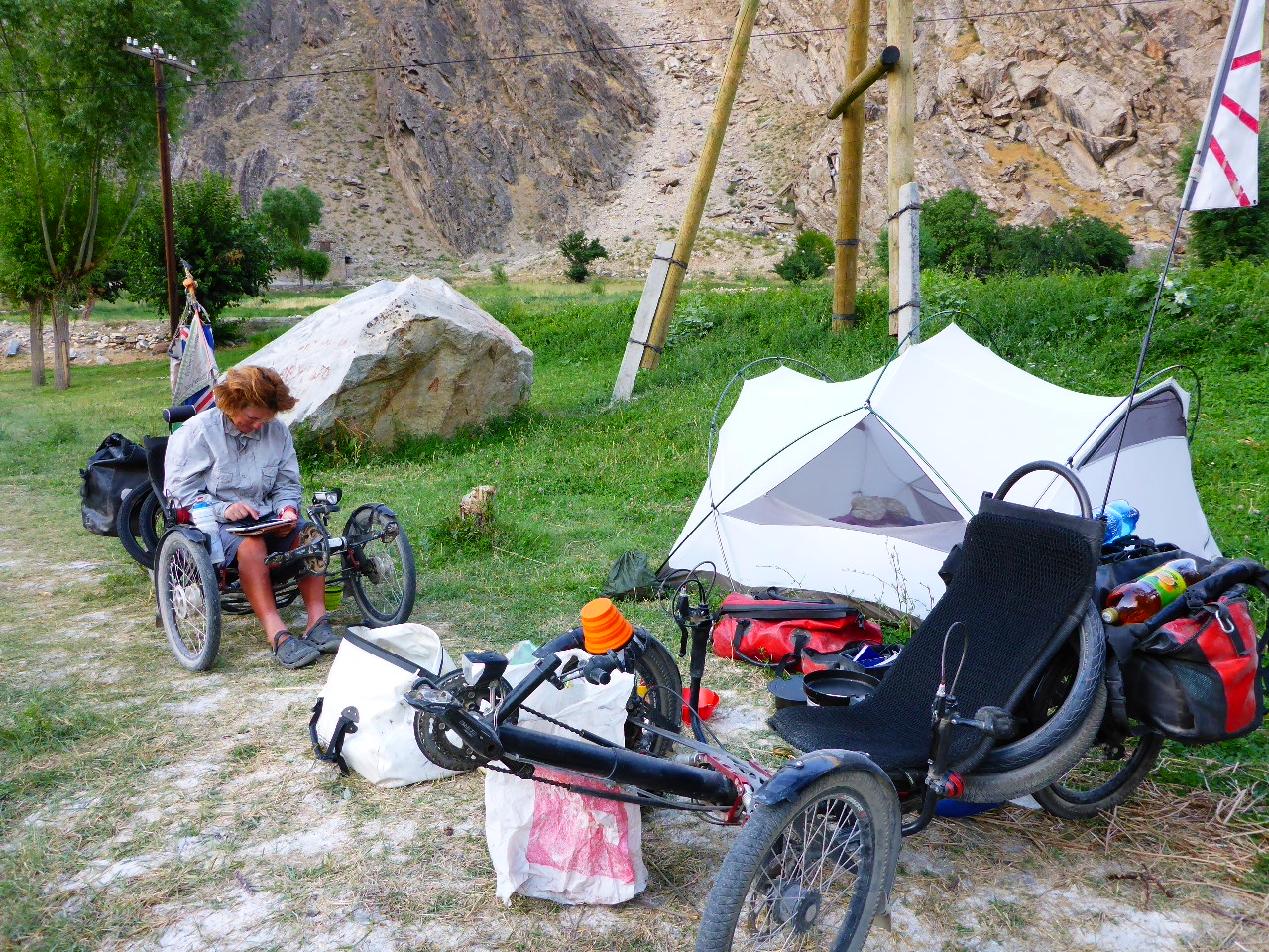
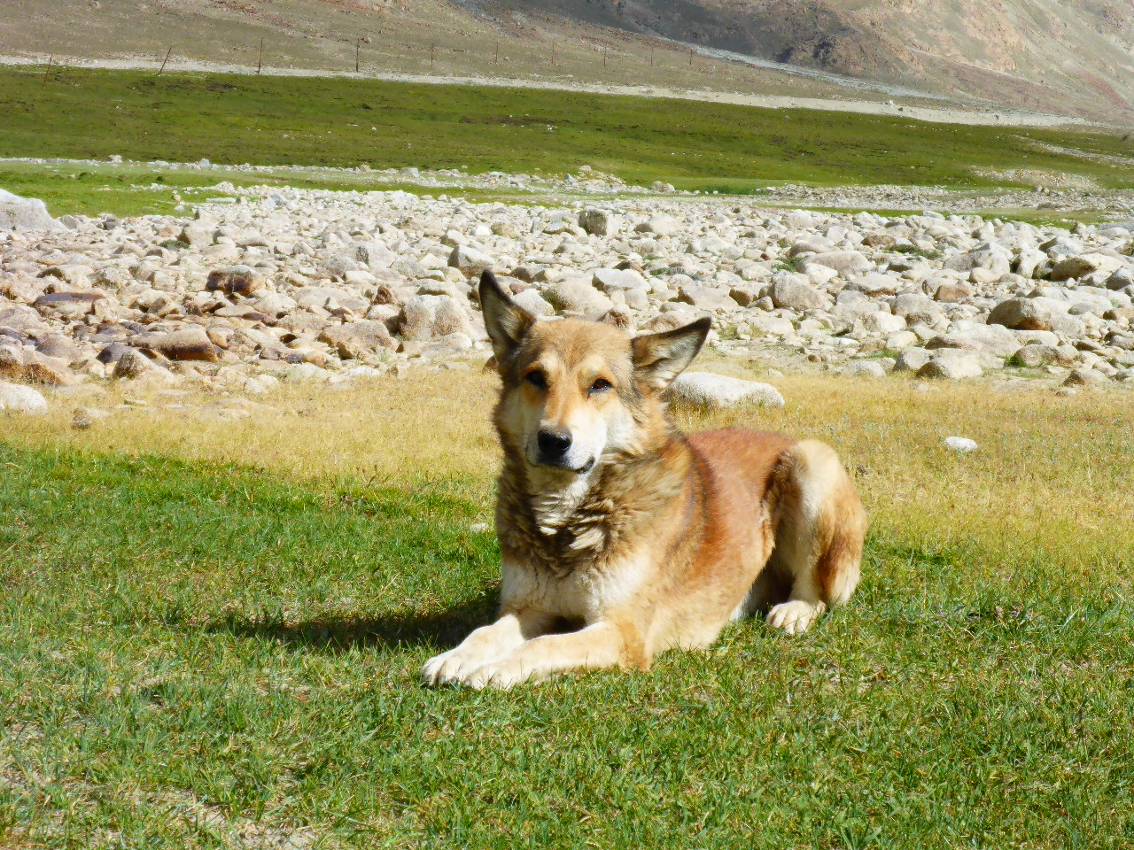
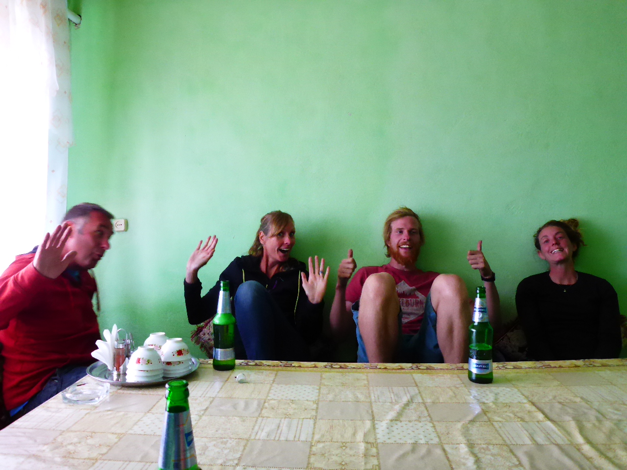
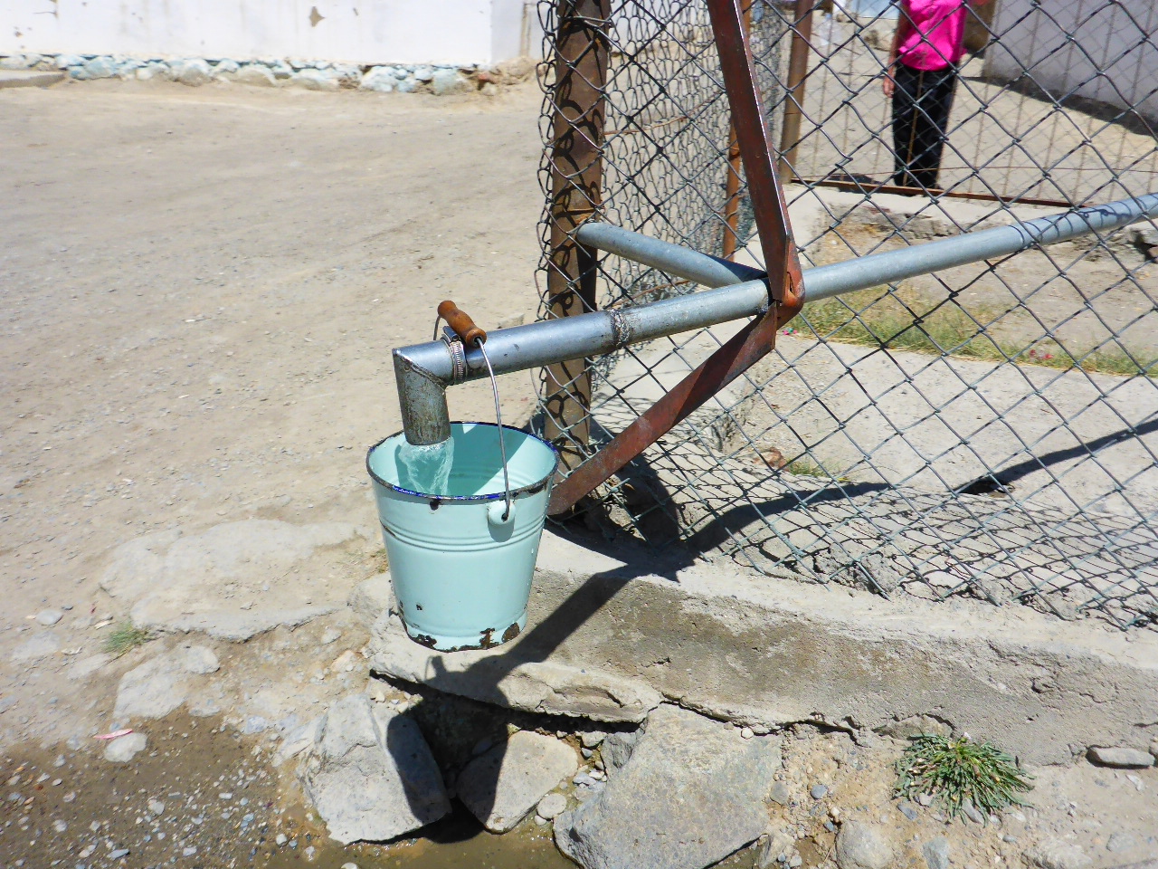
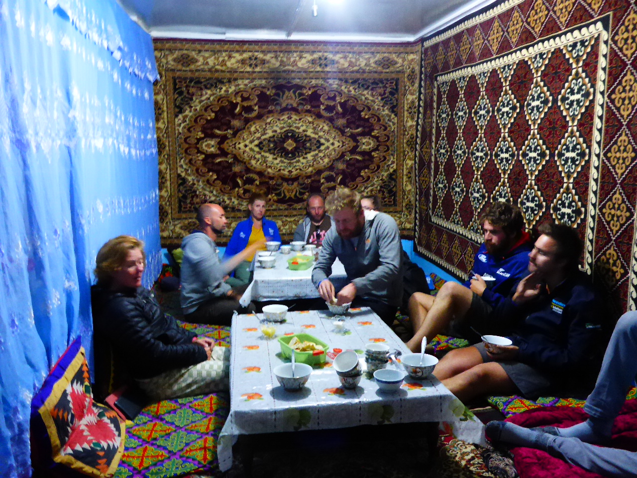
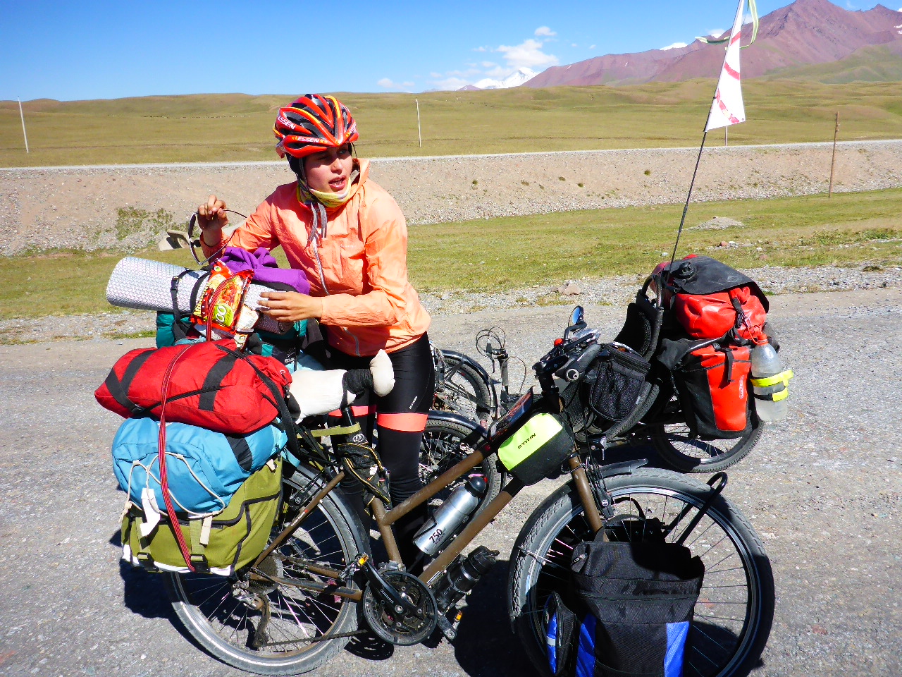
Time for a rest, laundry, admin and catching up with friends at home. Tuesday night we had a fantastic curry, the best meal we’ve had since Dushanbe. Delicious. Khorog is a bustling metropolis in this region. There’s a park in the centre with a pool the colour of muddy water but that’s clearly no deterrent to the locals. There are so many cyclists at the Pamir Lodge and we met the French couple, Lucy and Louis again and Marta and Coco who’ve been here a whole week because Coco is extremely poorly.


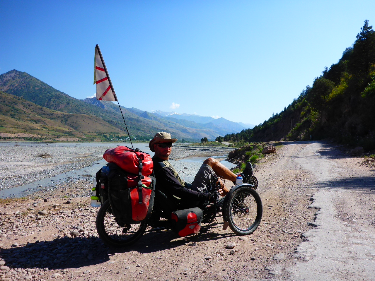
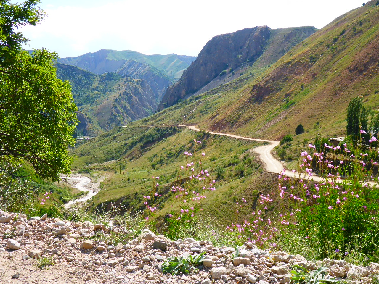
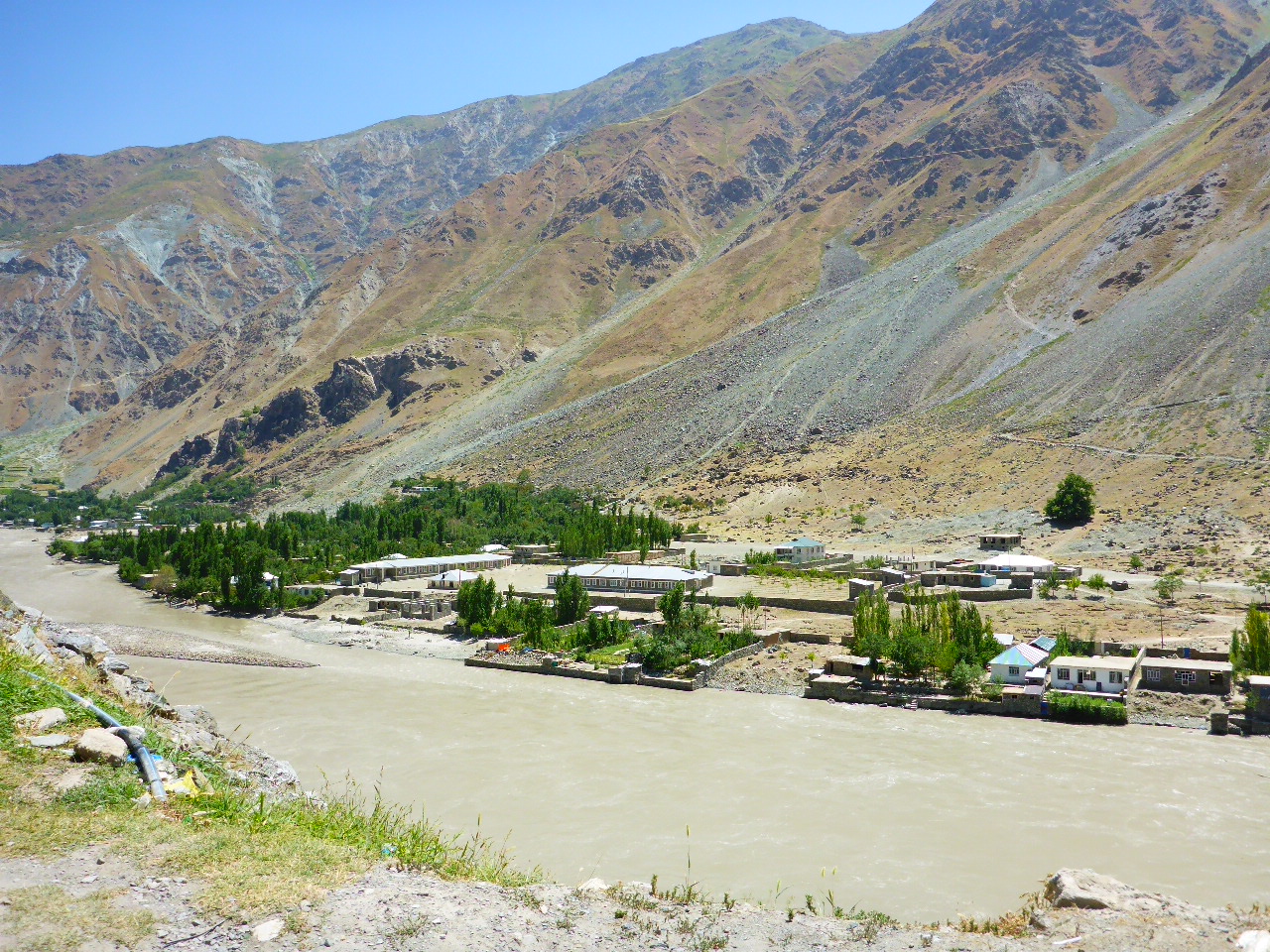
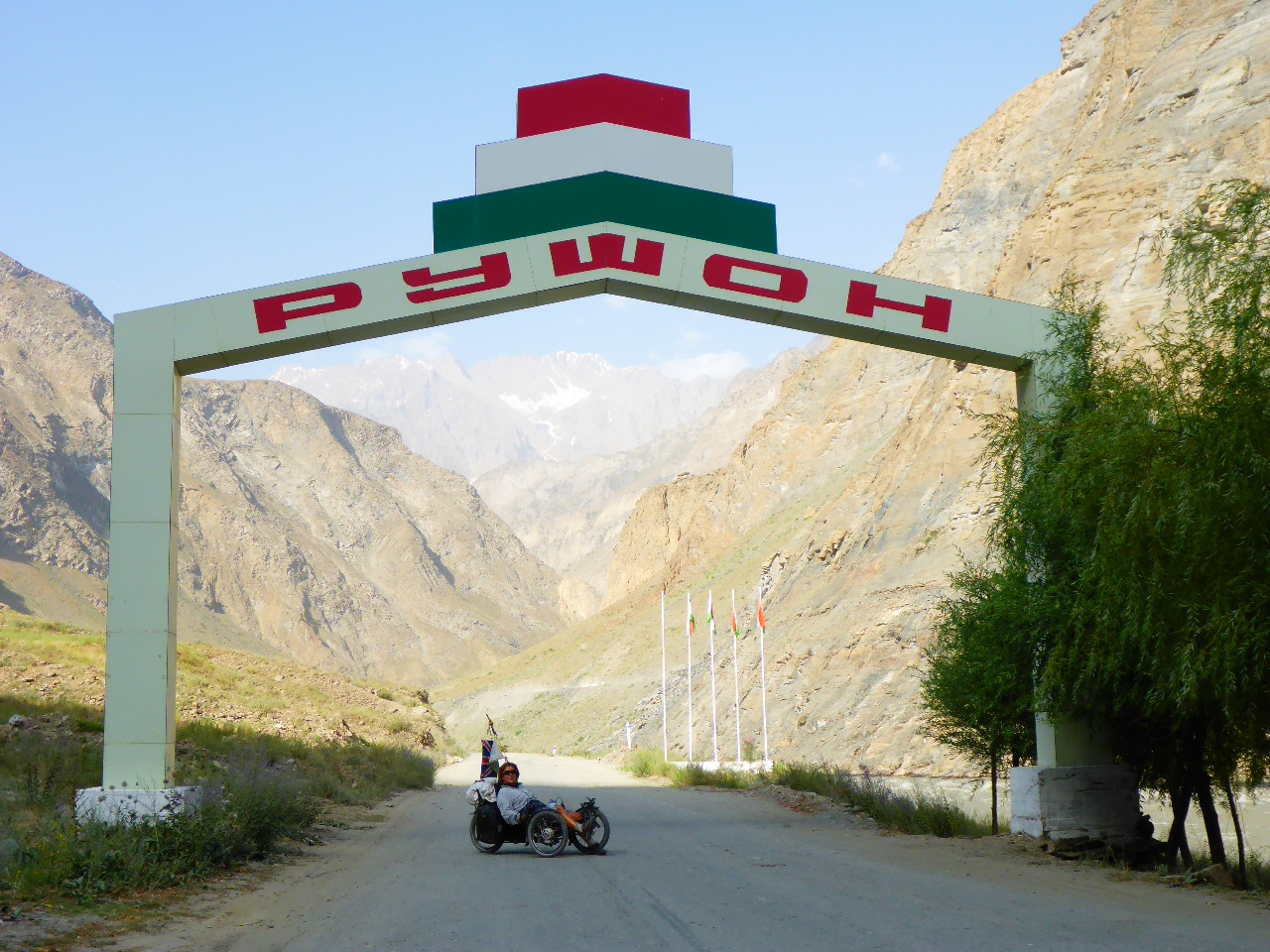
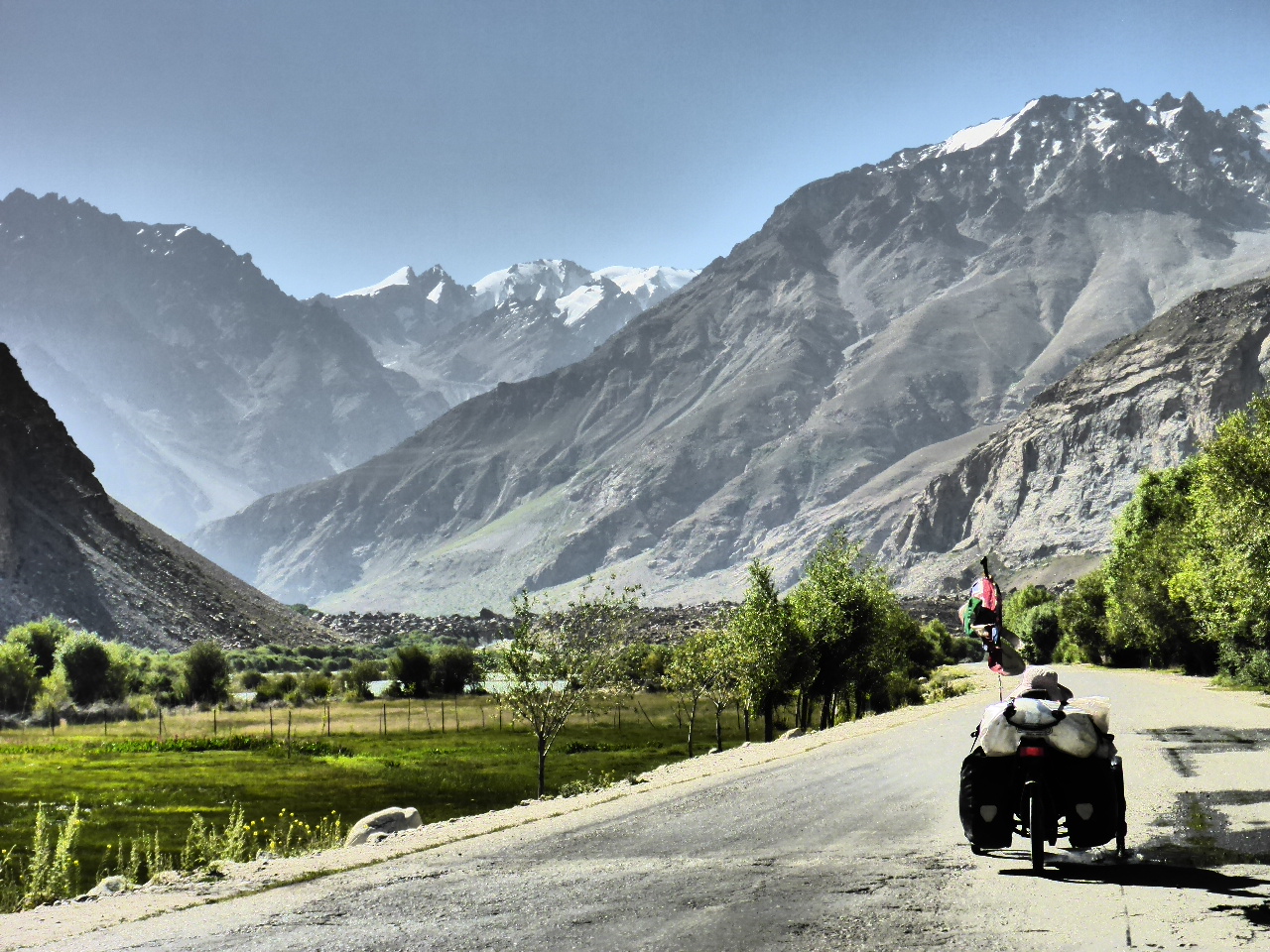
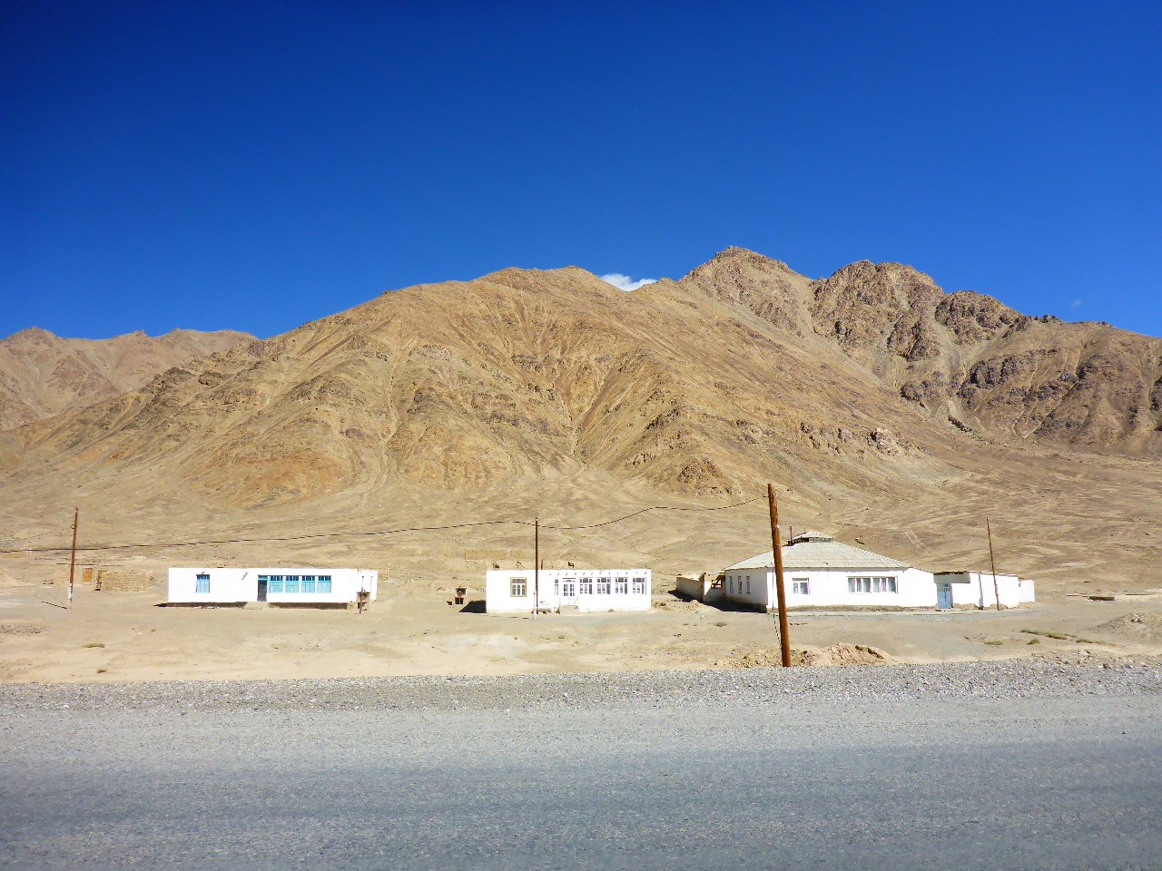
Friday 4th August – Khorog to Rivak
Distance: 32.96km
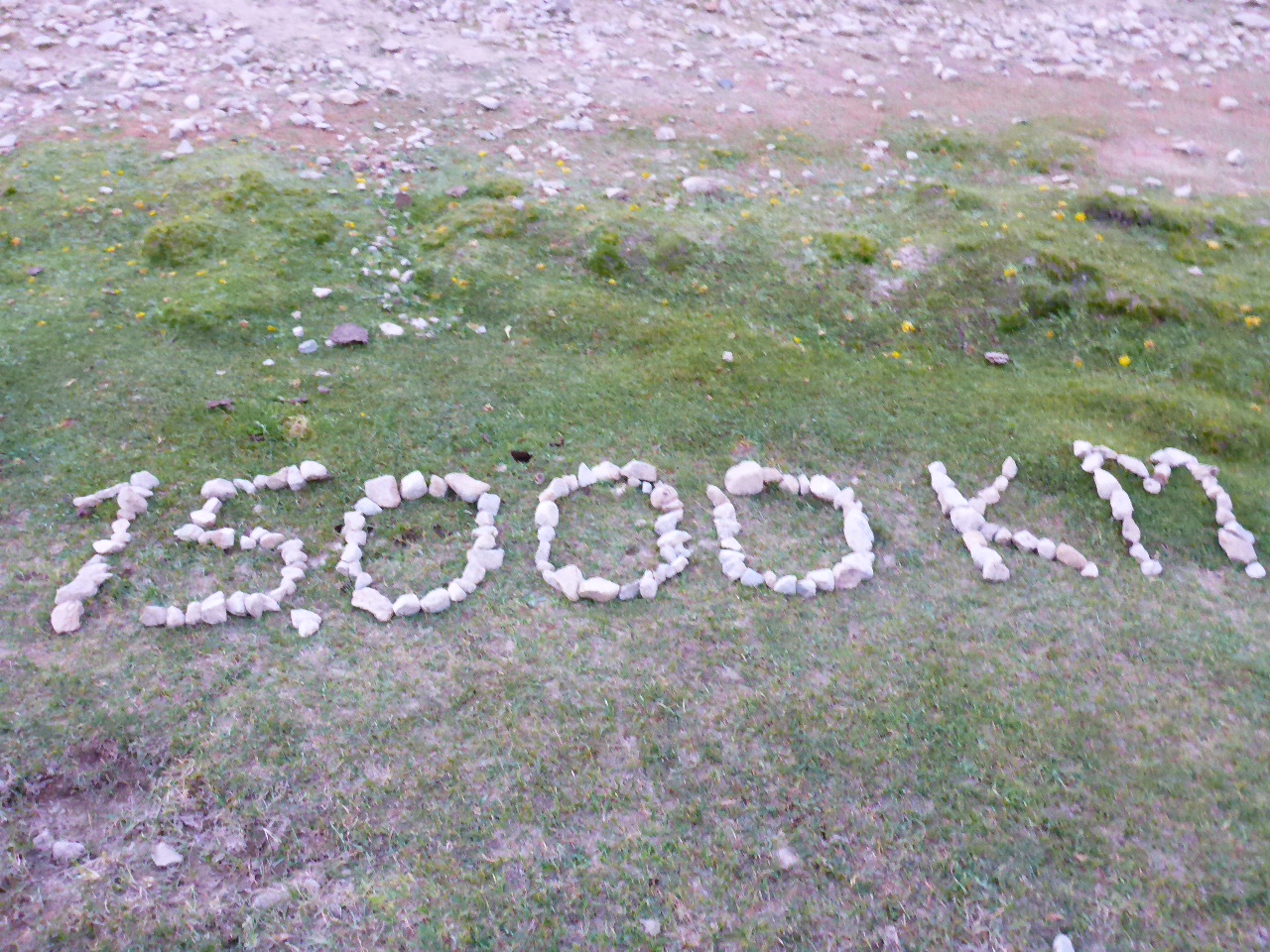
Total Distance: 15720.23km
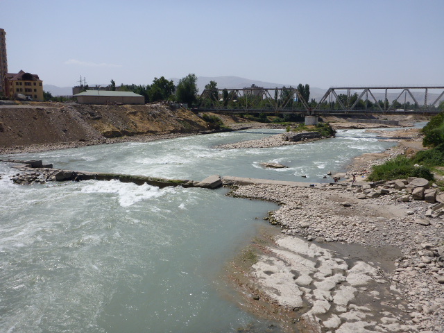
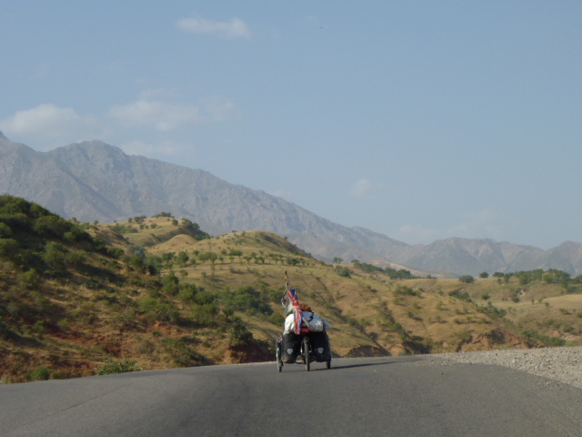
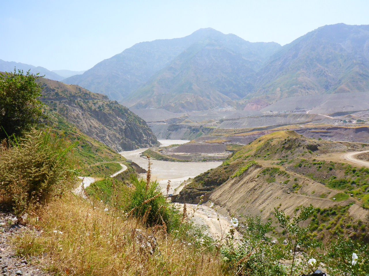
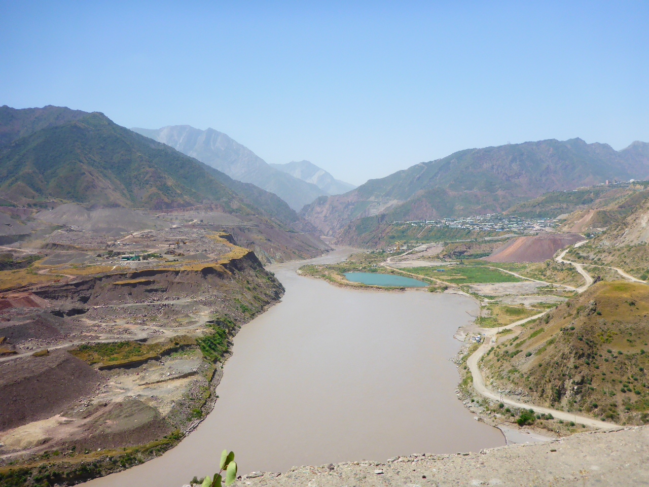
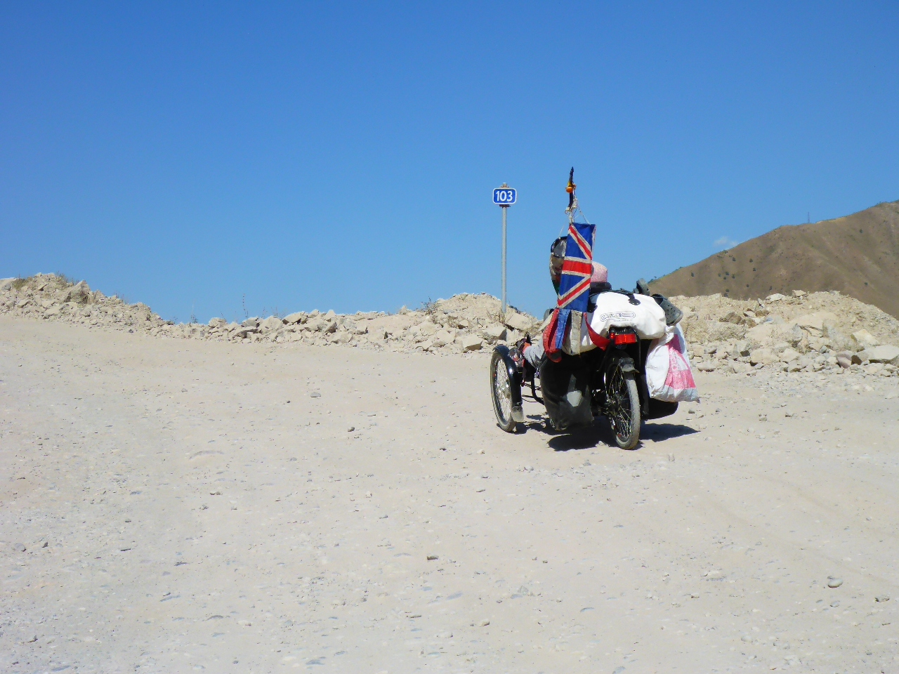
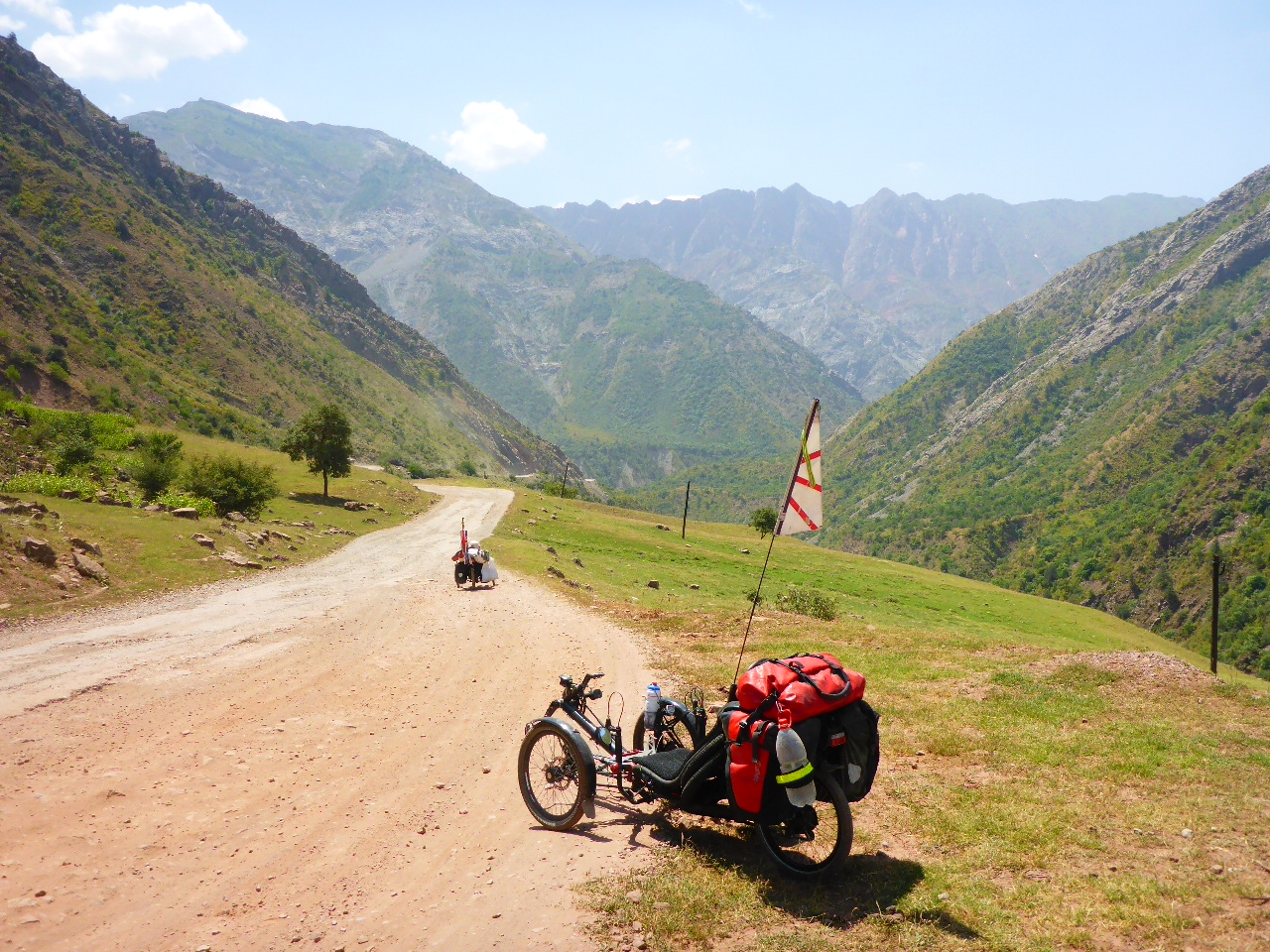
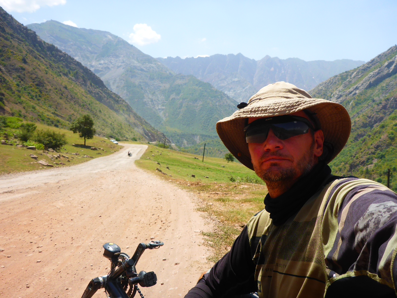
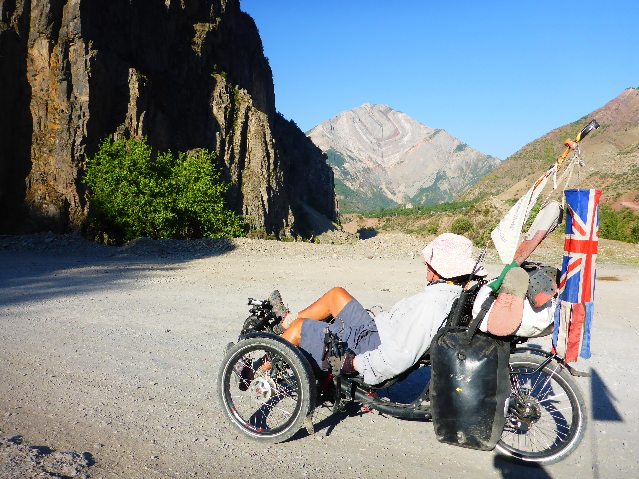
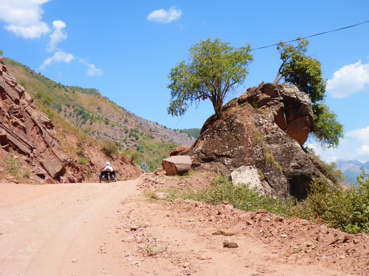
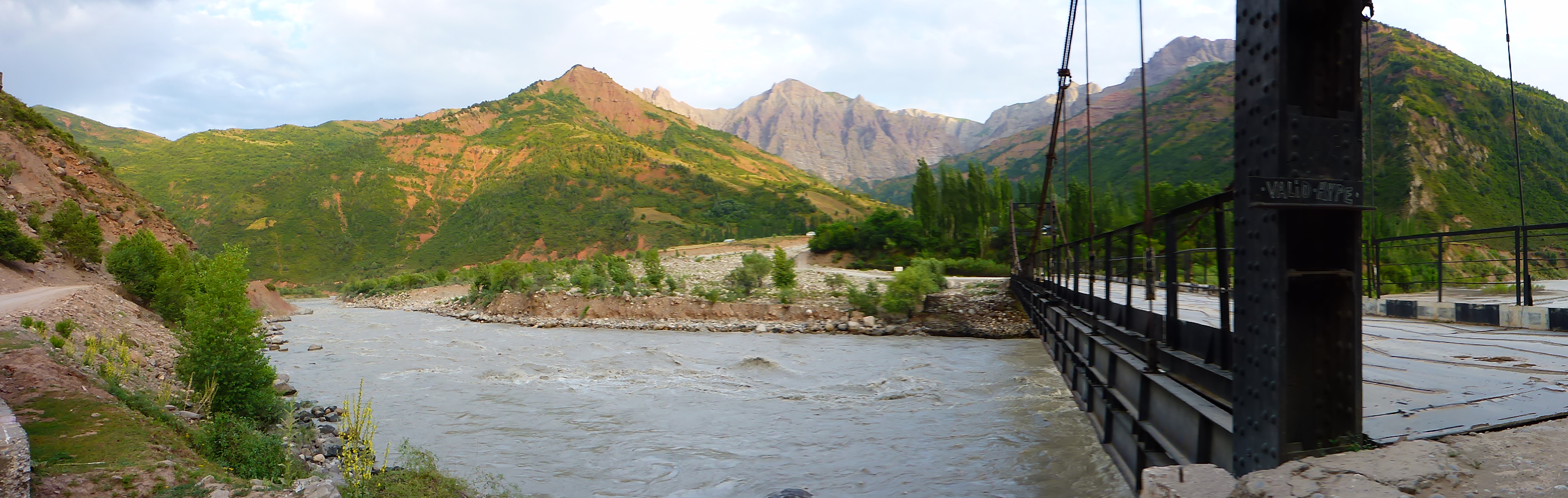
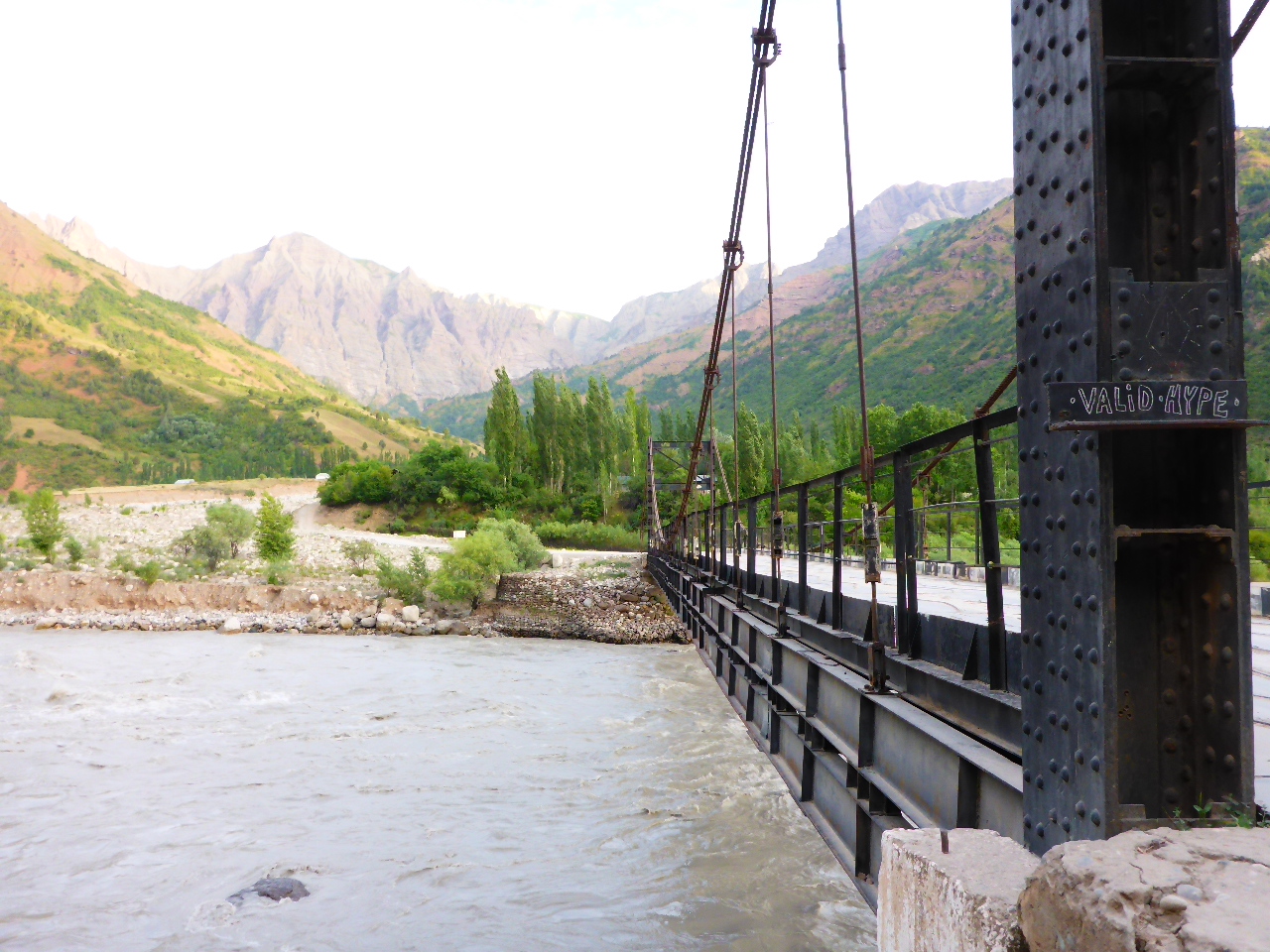
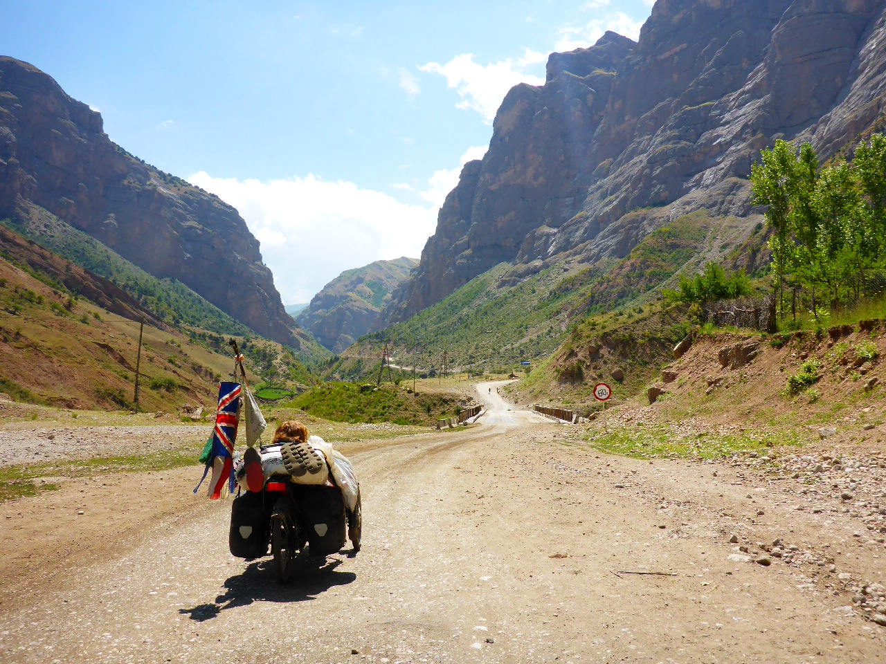
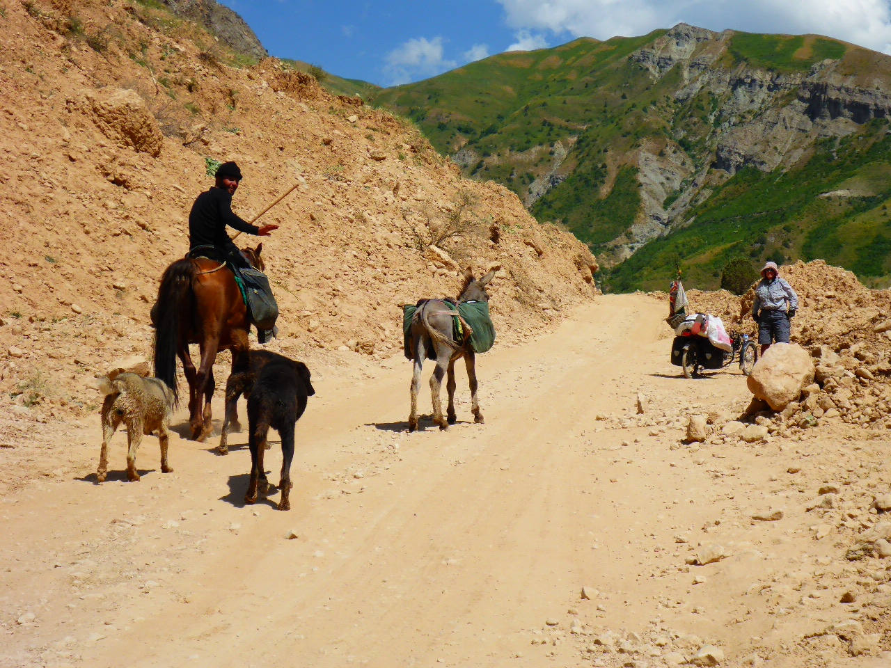
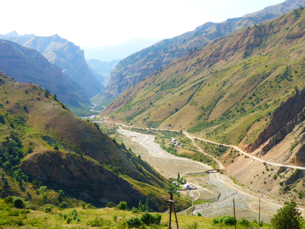
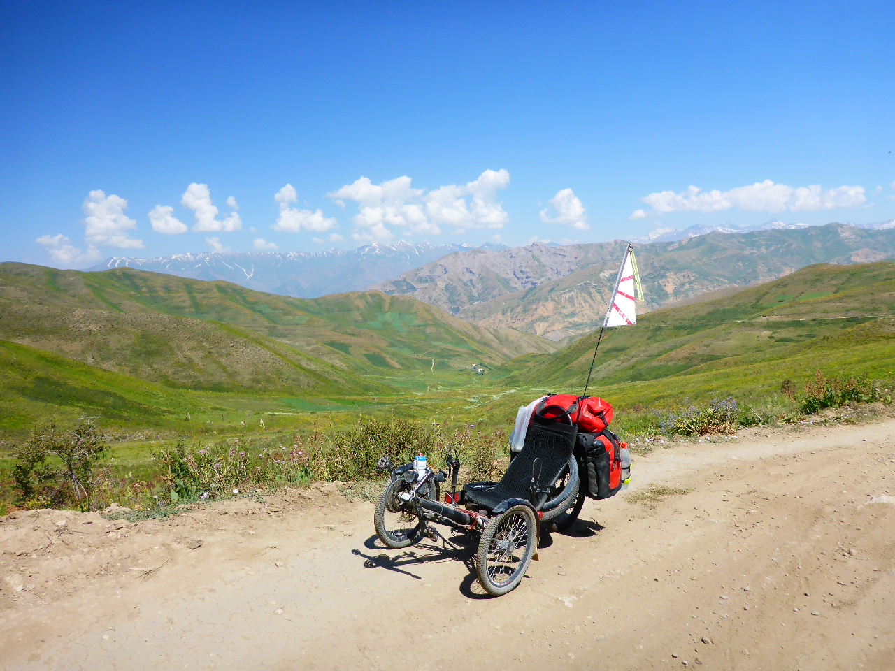
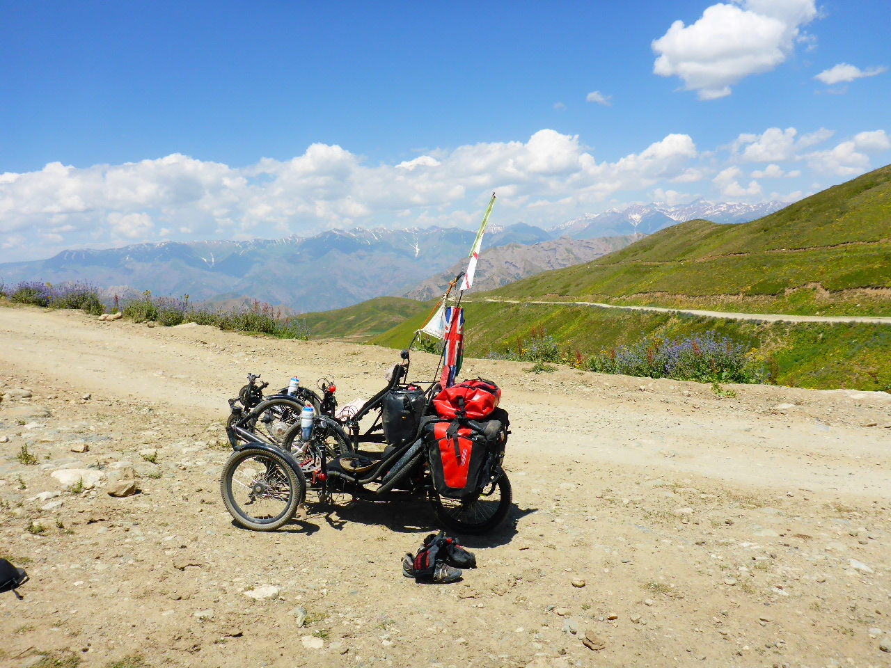
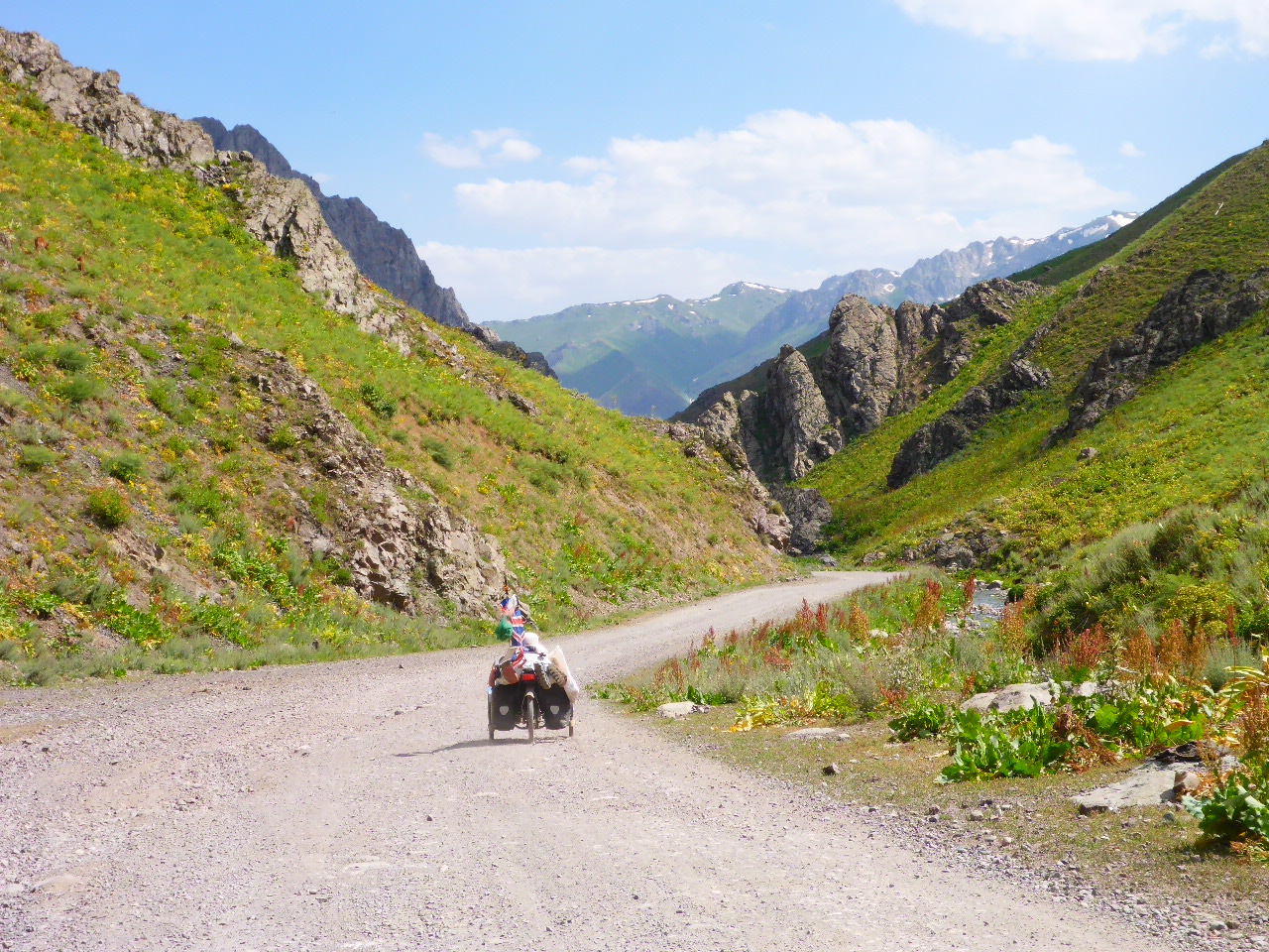
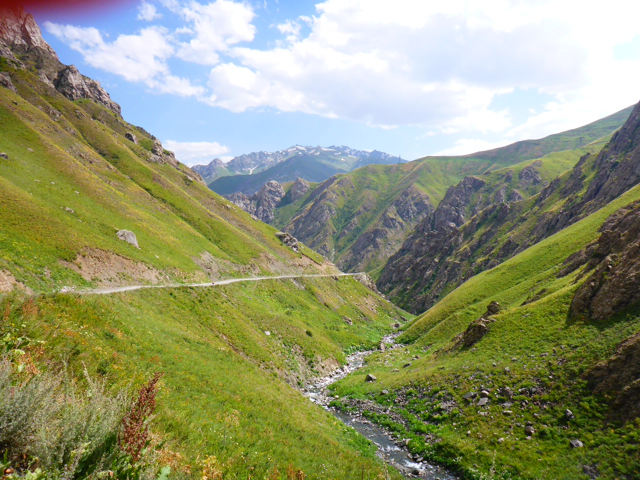
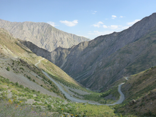
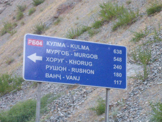
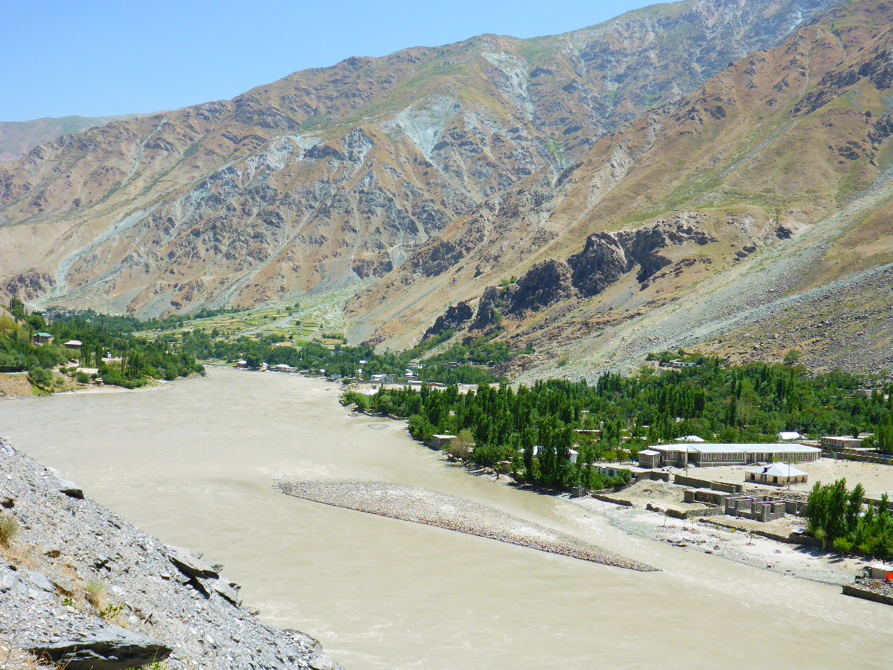
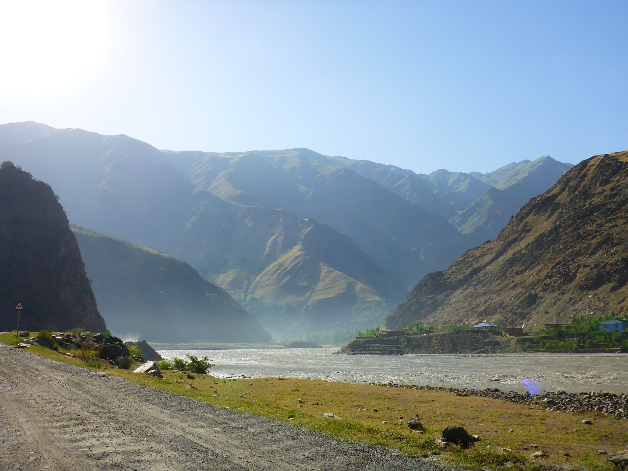
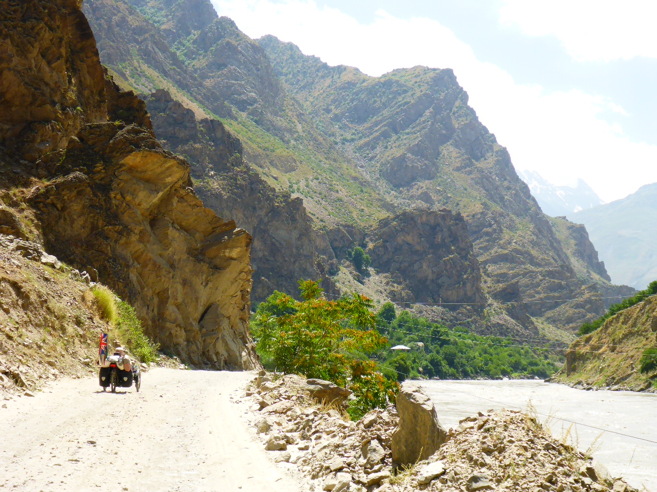
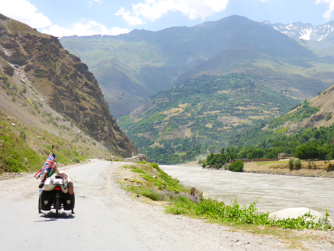
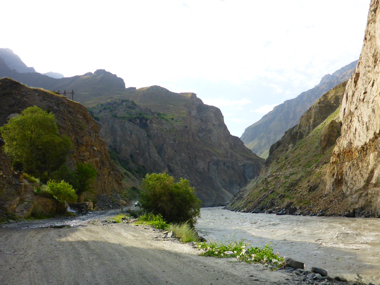
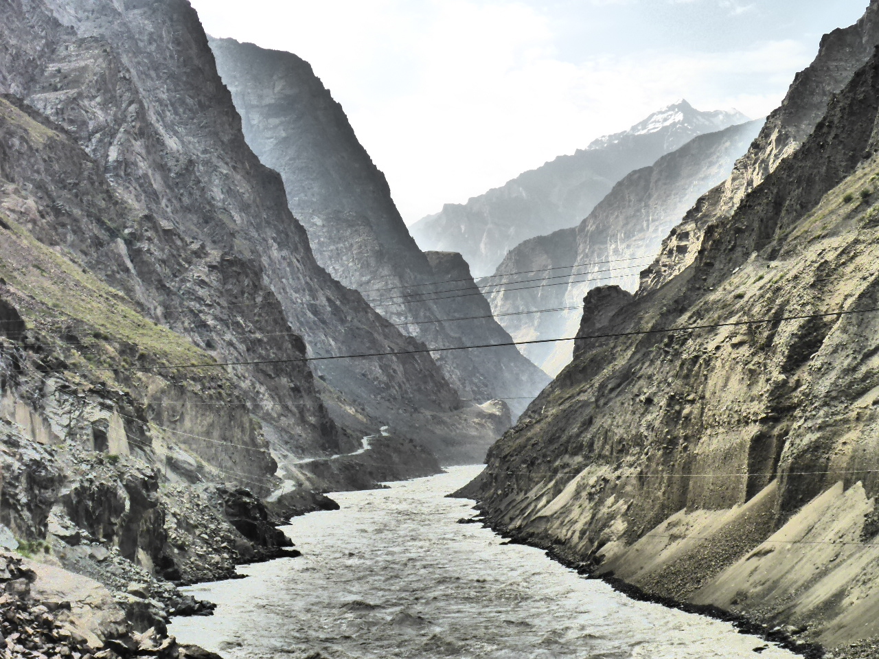
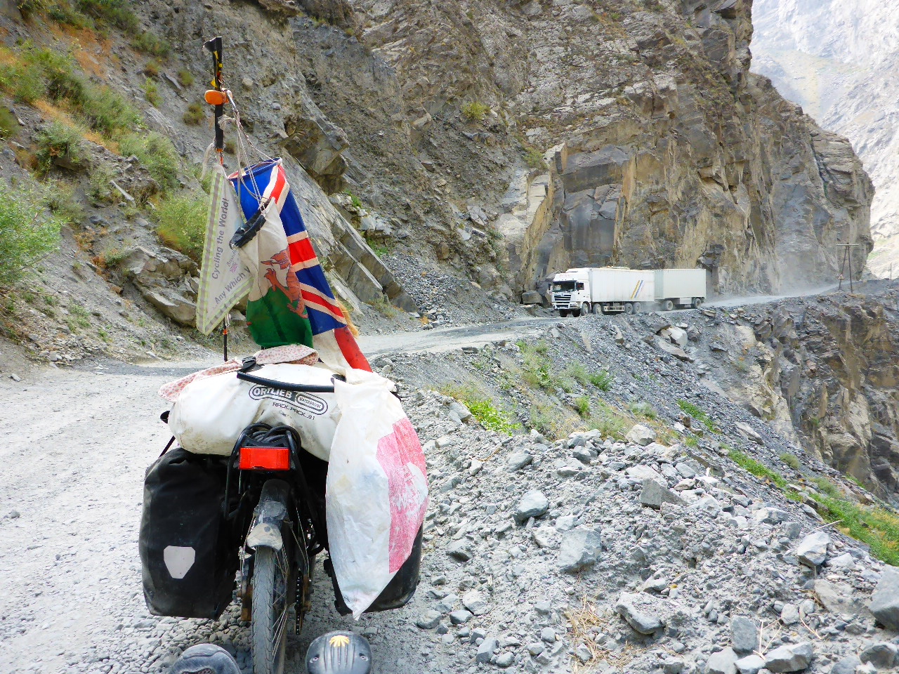
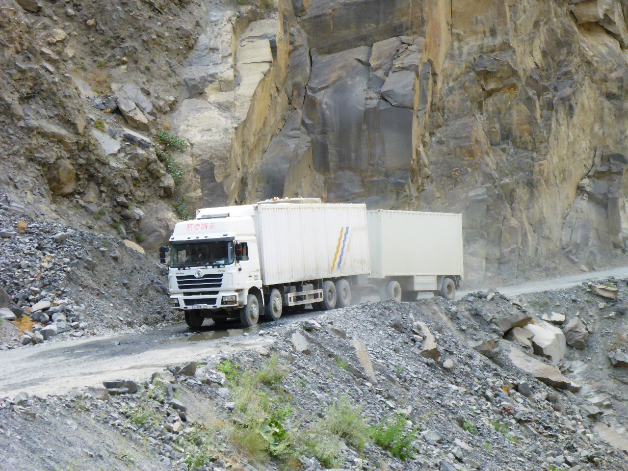
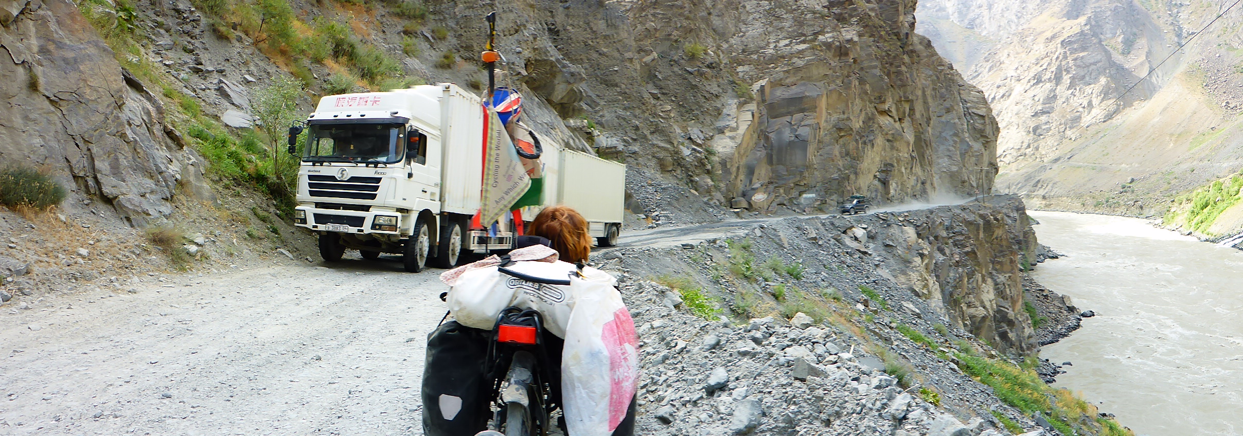
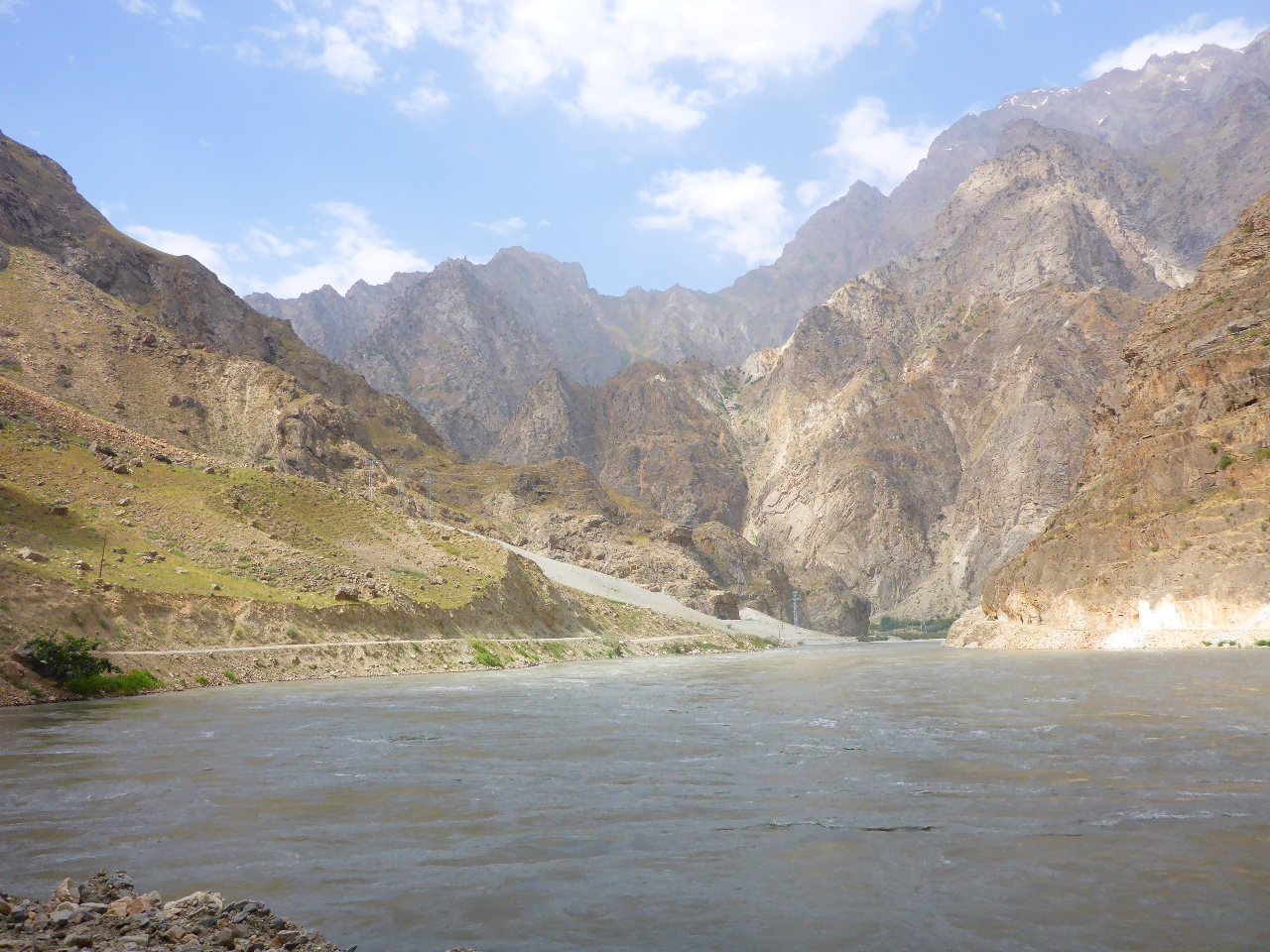
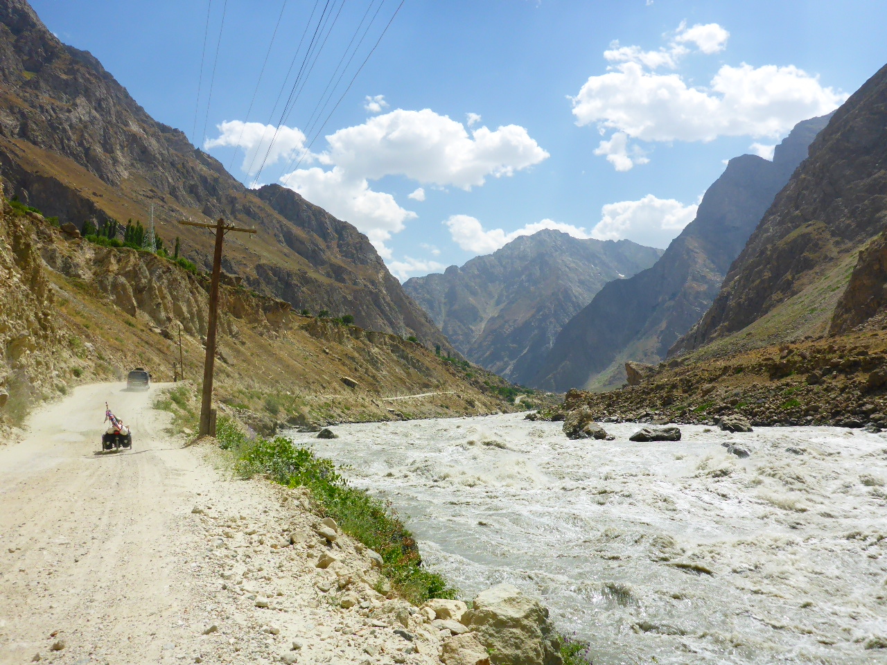
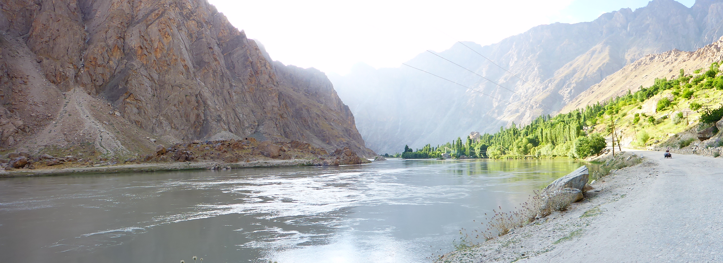
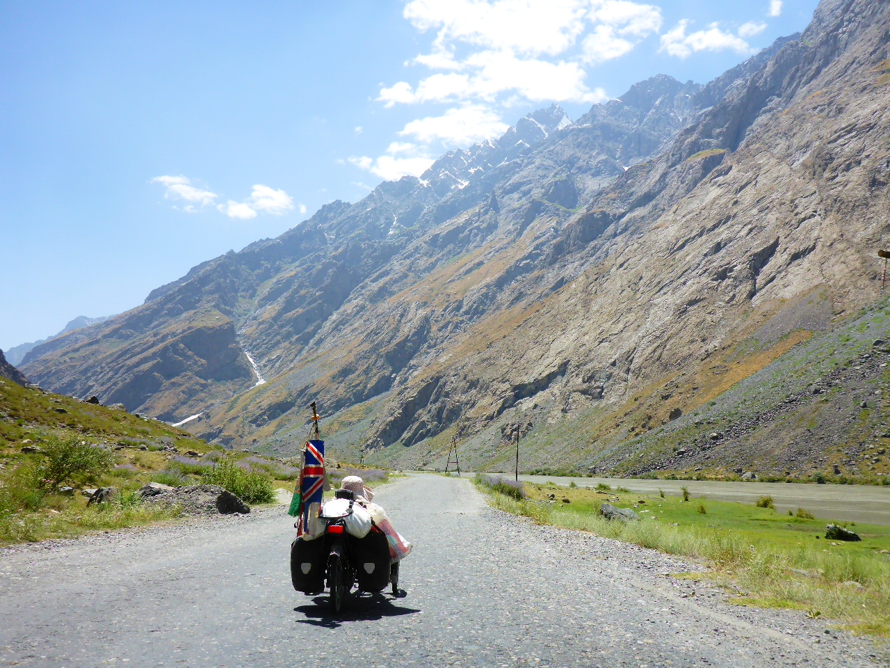
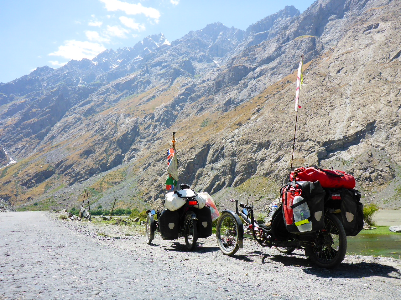
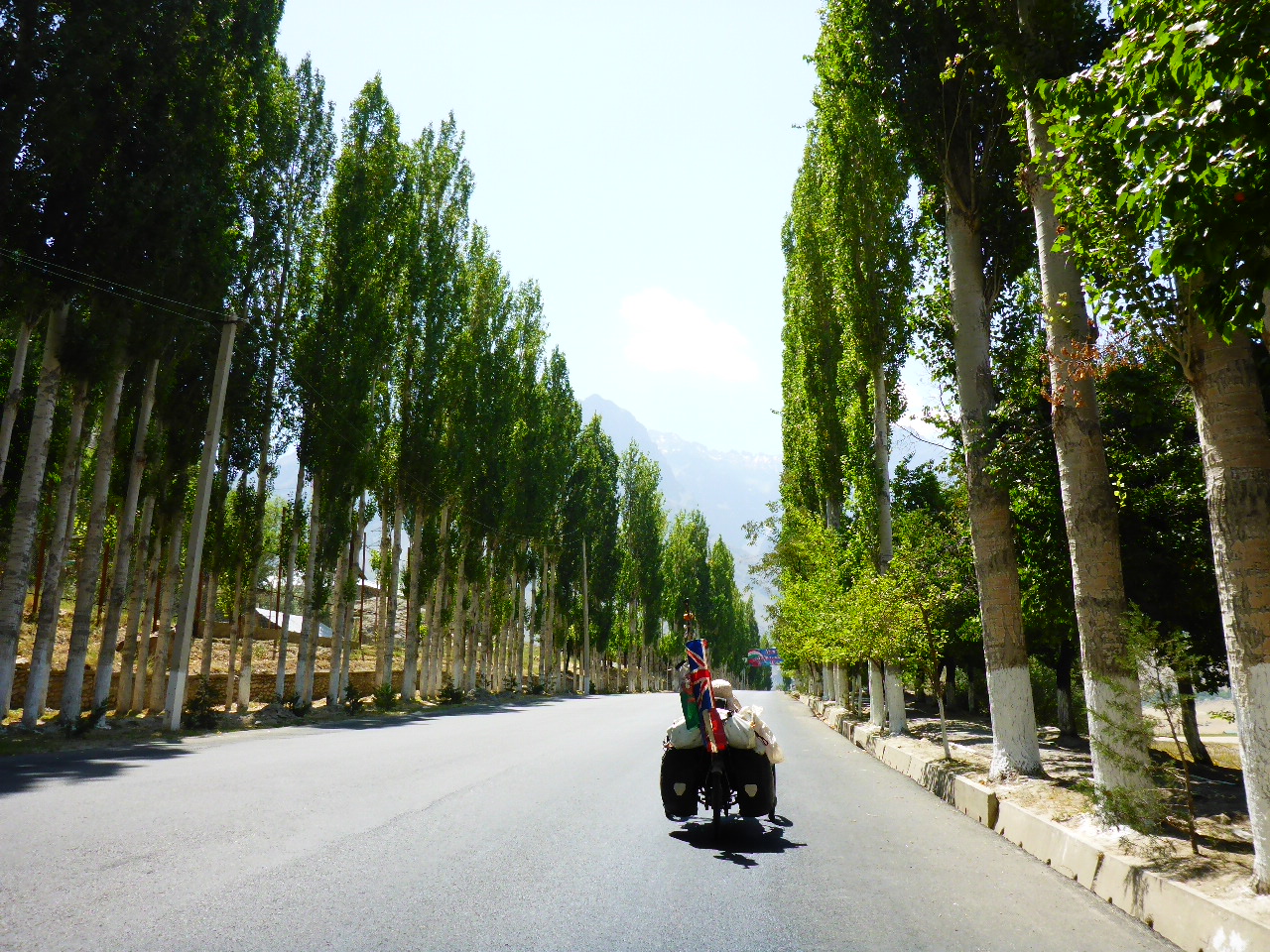
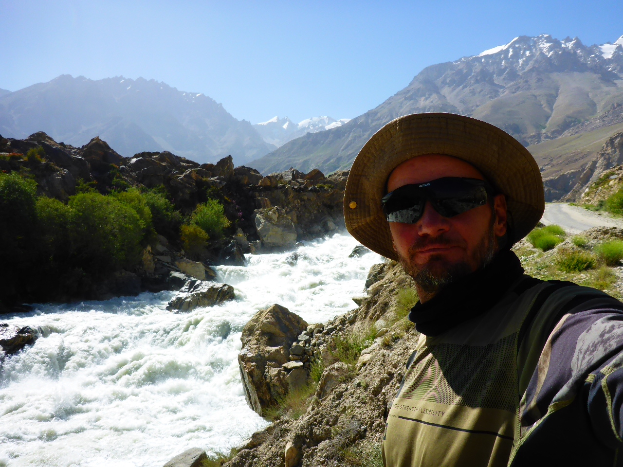
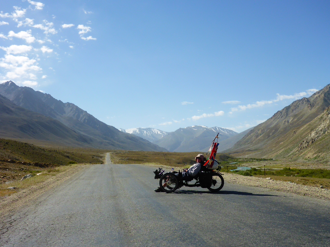
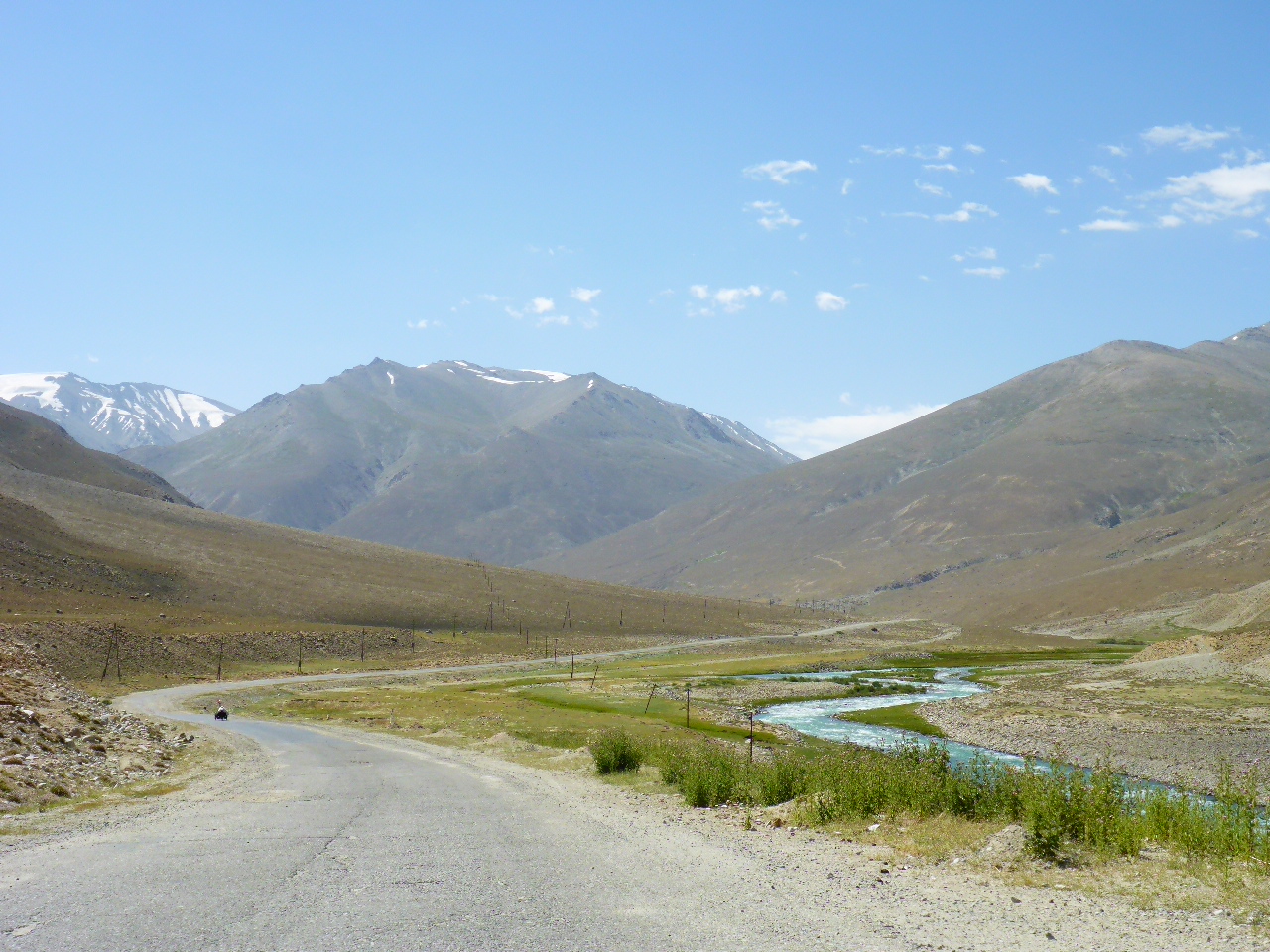
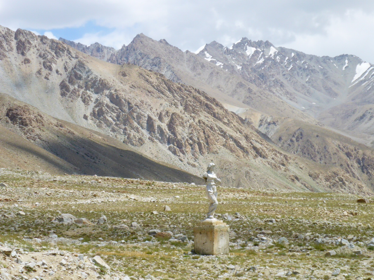
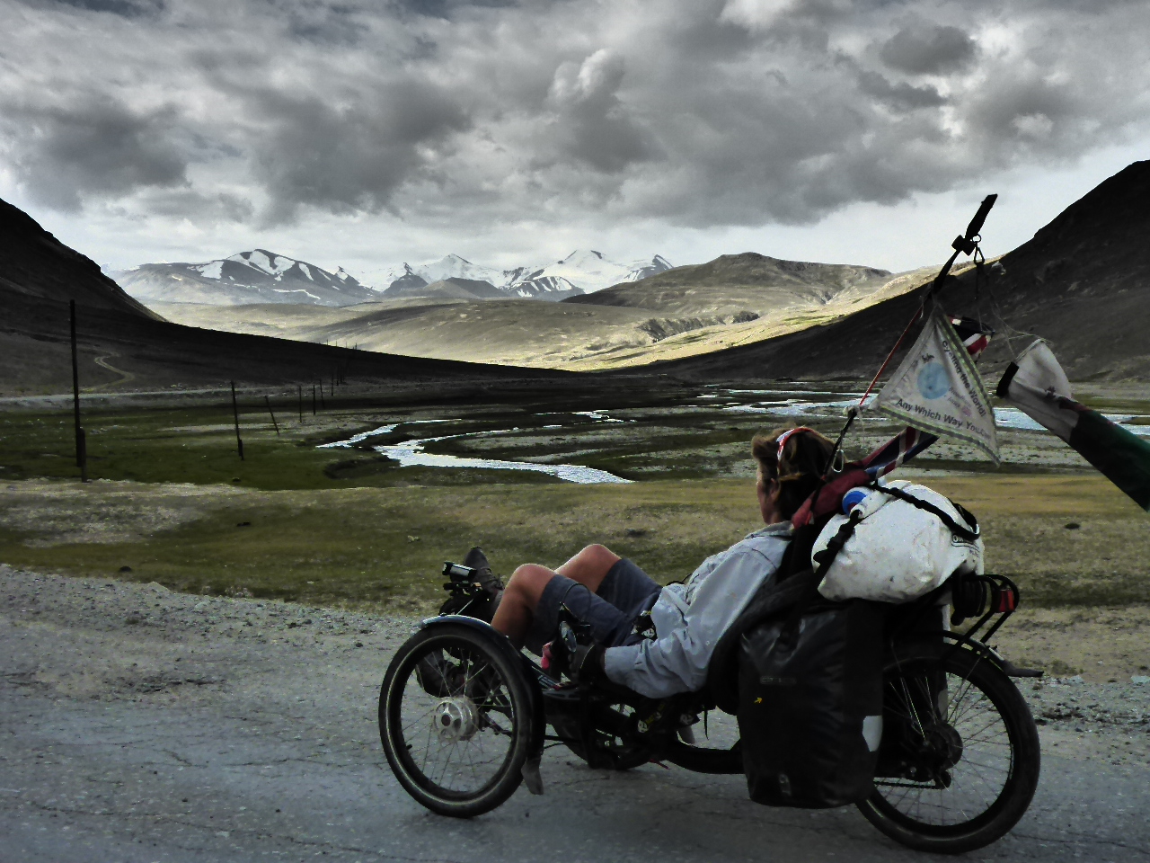
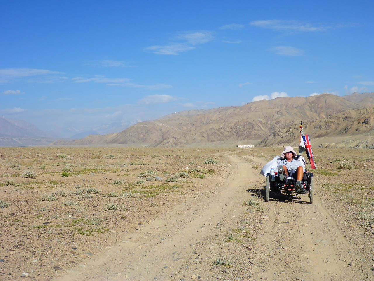
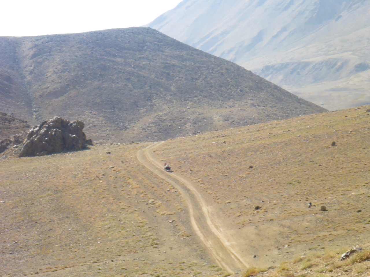
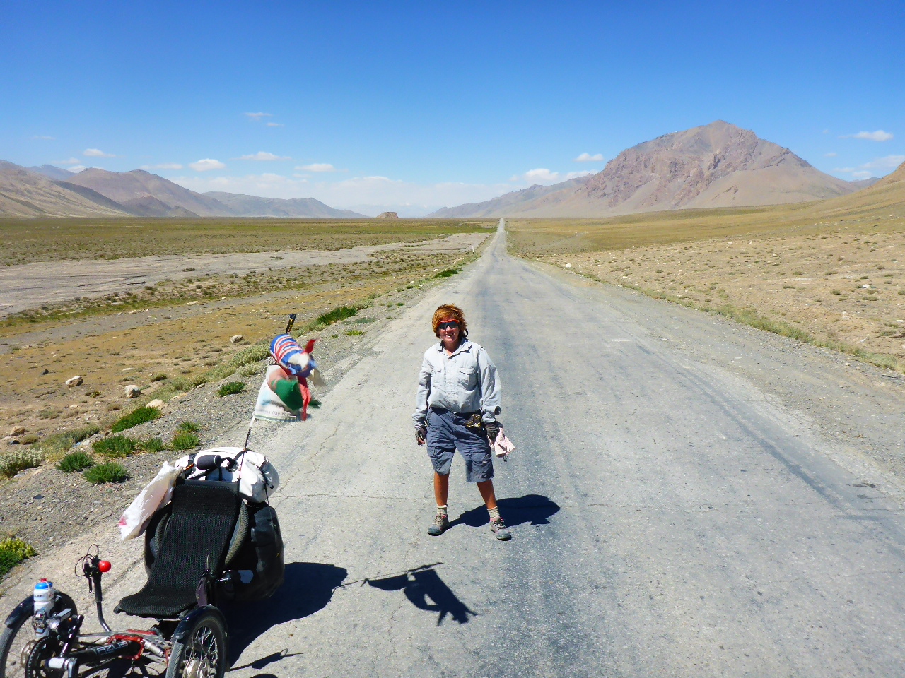
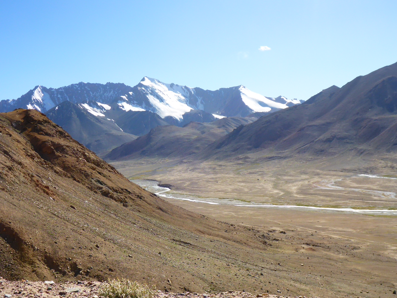
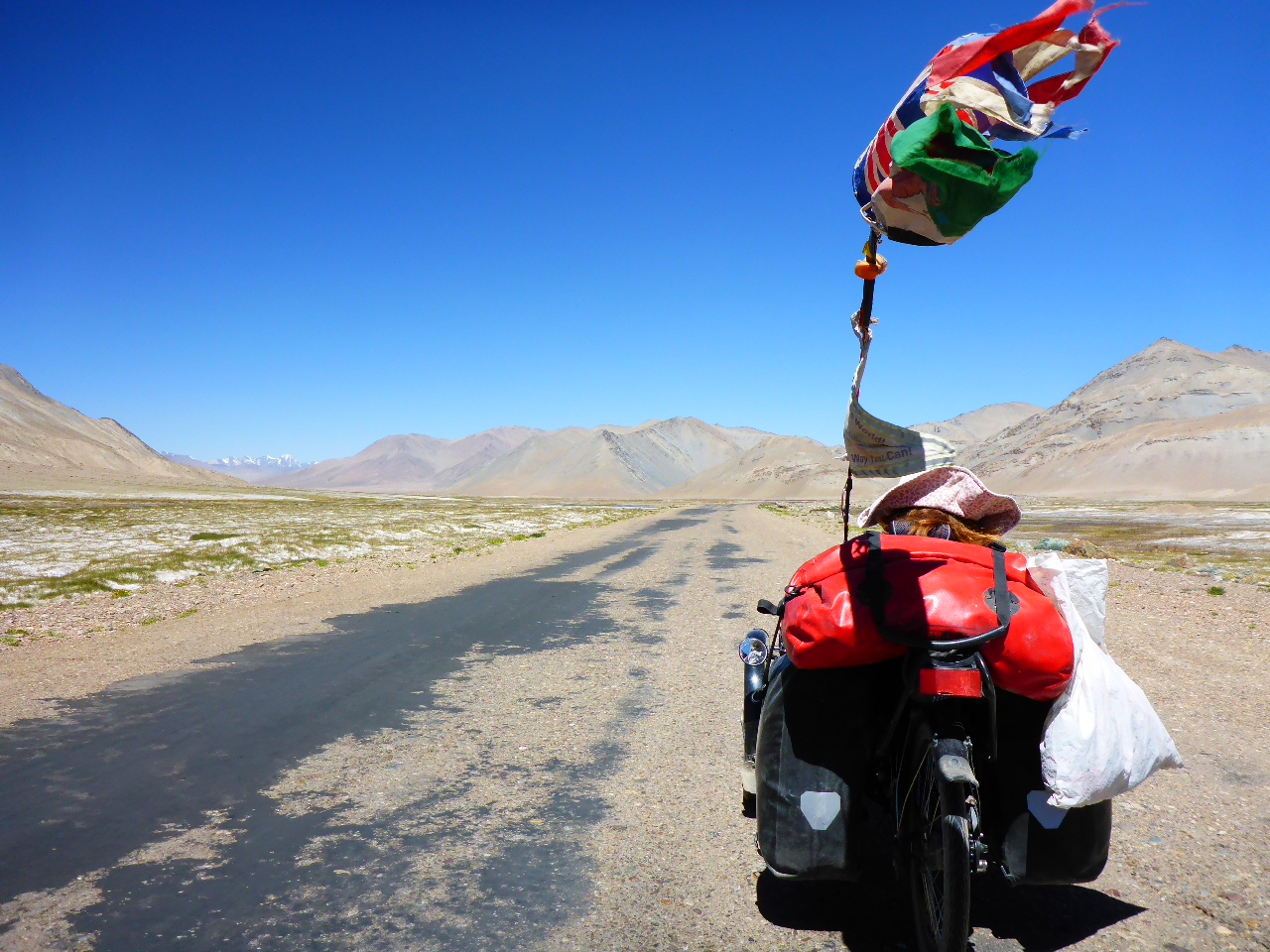
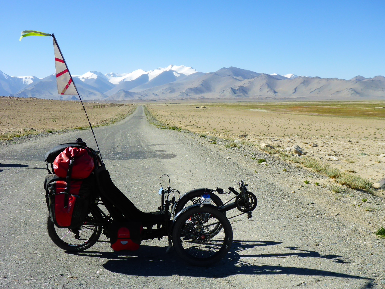
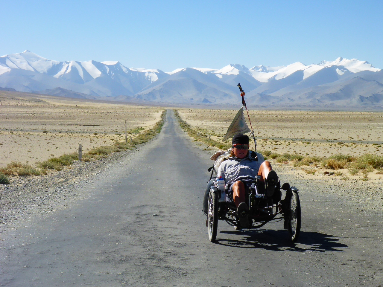
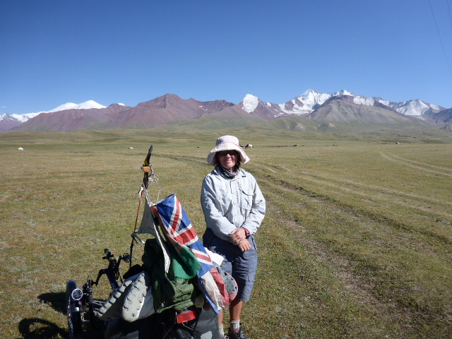
After 2 lovely relaxing days off it’s time to head off again. We head out of Kharog along the M41, following the River Gunt.
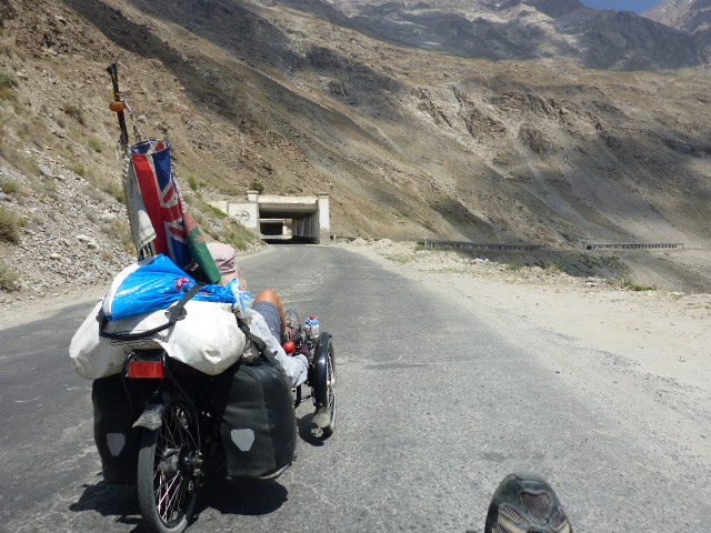
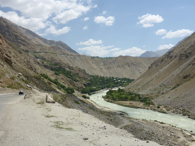
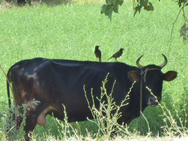
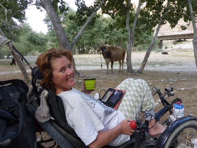
We have seen the last of Afghanistan and the Punj, that’s for those braving the Whakan Valley, and whilst it sounds beautiful we think the bad roads and long distances between villages would just be too tough for us. We struggle to find our rhythm after our time off so decide to pitch tent early and enjoy the company of a cow who’s decided to join us for the evening – better conversationalist than Darren!!!
Highest Altitude 2474 metres.
Saturday 5th August – Rivak to Vox
Distance: 42.25 km
Total Distance: 15762.48 km
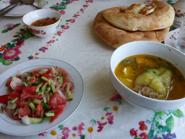
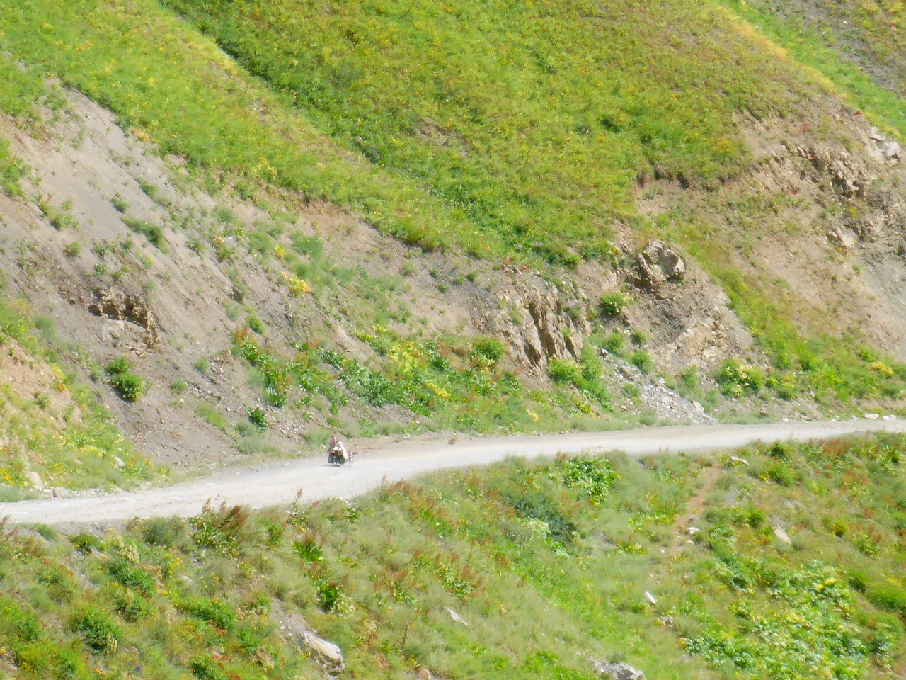
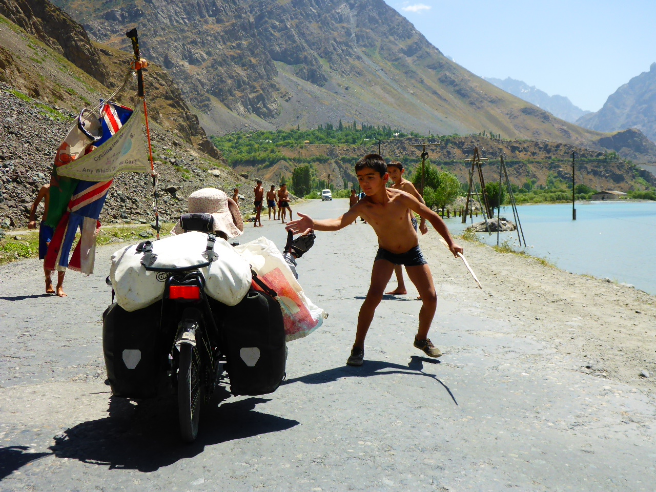
We slept really well last night, in fact we were asleep by 7pm, way before sunset! But it’s nice when that happens. Today is a much better day mentally. We are by the river again and back with high mountains all around. There’s still snow on the high slopes and peaks feeding all the side streams that join the river. We stop for lunch in a roadside shack. They only have egg and chips on the menu, Daz sticks up 2 fingers, “yes please!” Then they even add sausage! Refreshed we cycle on and we’re accompanied by a very resilient trio. They only have 2 bikes between them so one is always running to keep up – they stay with us for 5km before finally deciding we’re really not that interesting.

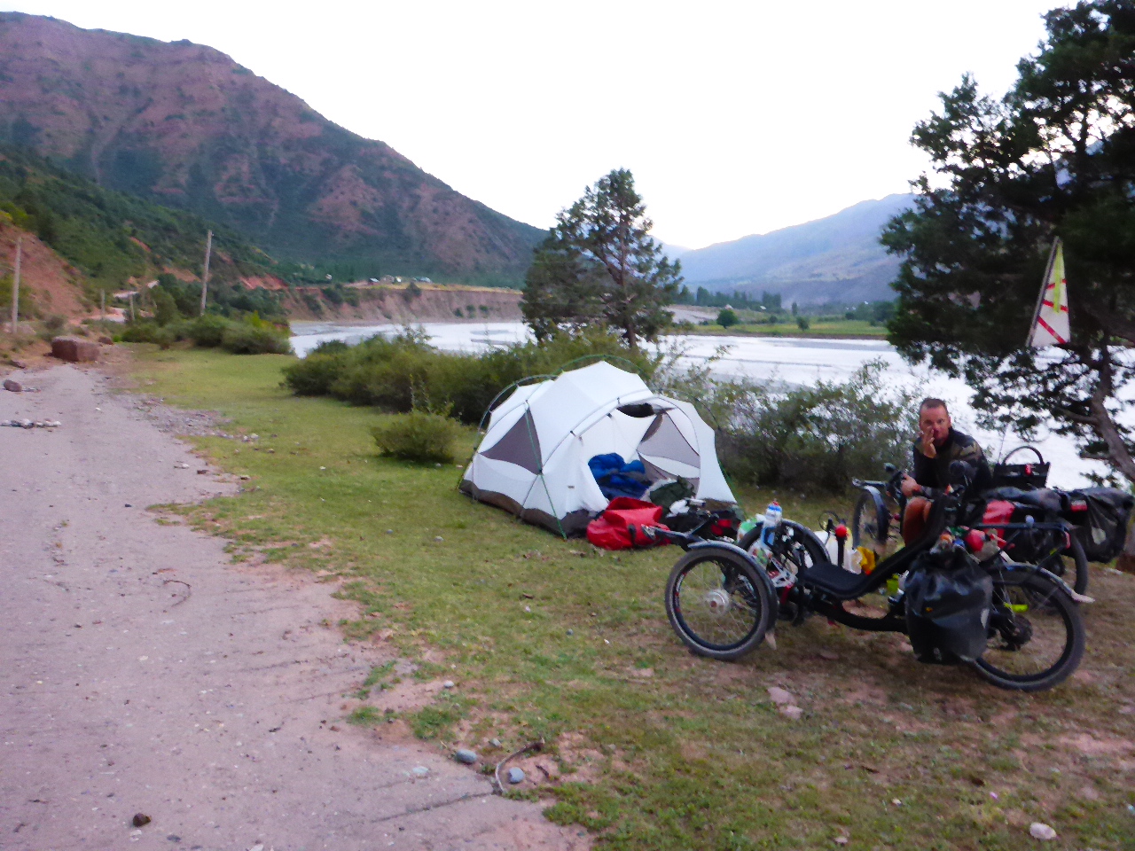
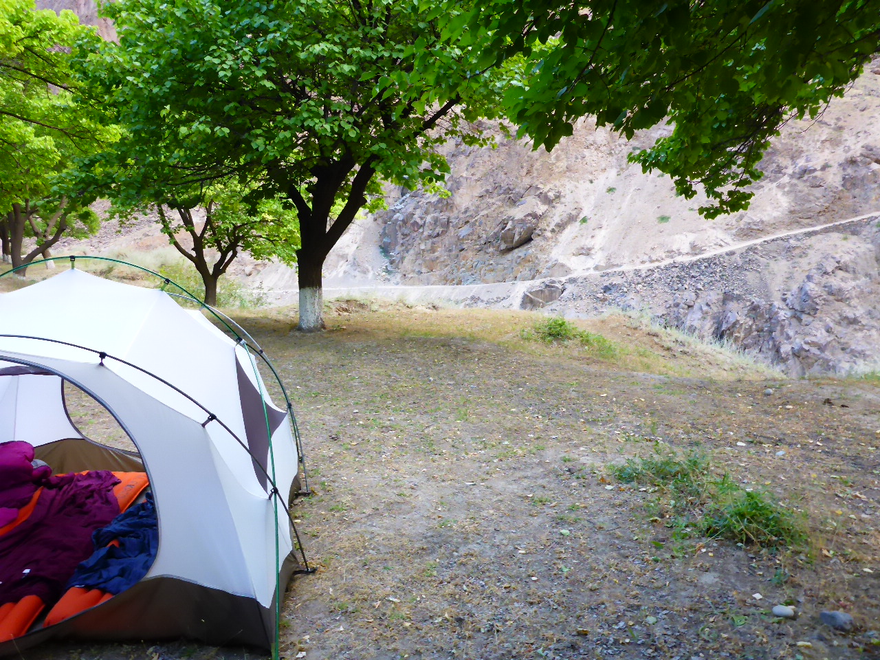
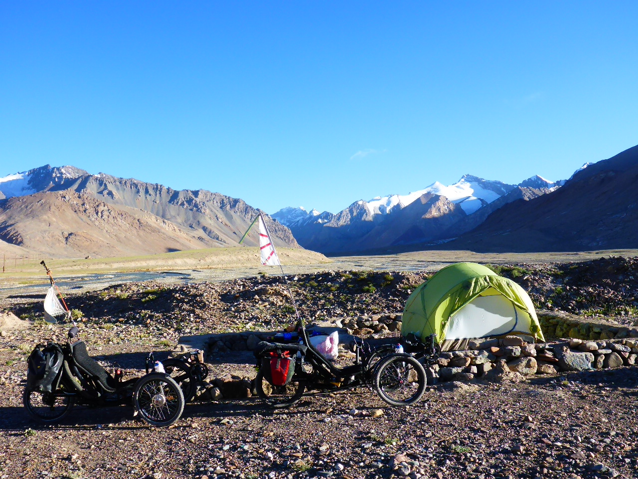
We struggle to find a decent camping spot. There’s no shade but finally find a flat area to camp near the river. No shade but a breeze keeps us cool. Once the sun goes down behind the mountains we can put the tent up. A group of Tajiks who are dancing by the river when we arrive give us half a melon as they leave!


Highest Altitude 2900 metres.
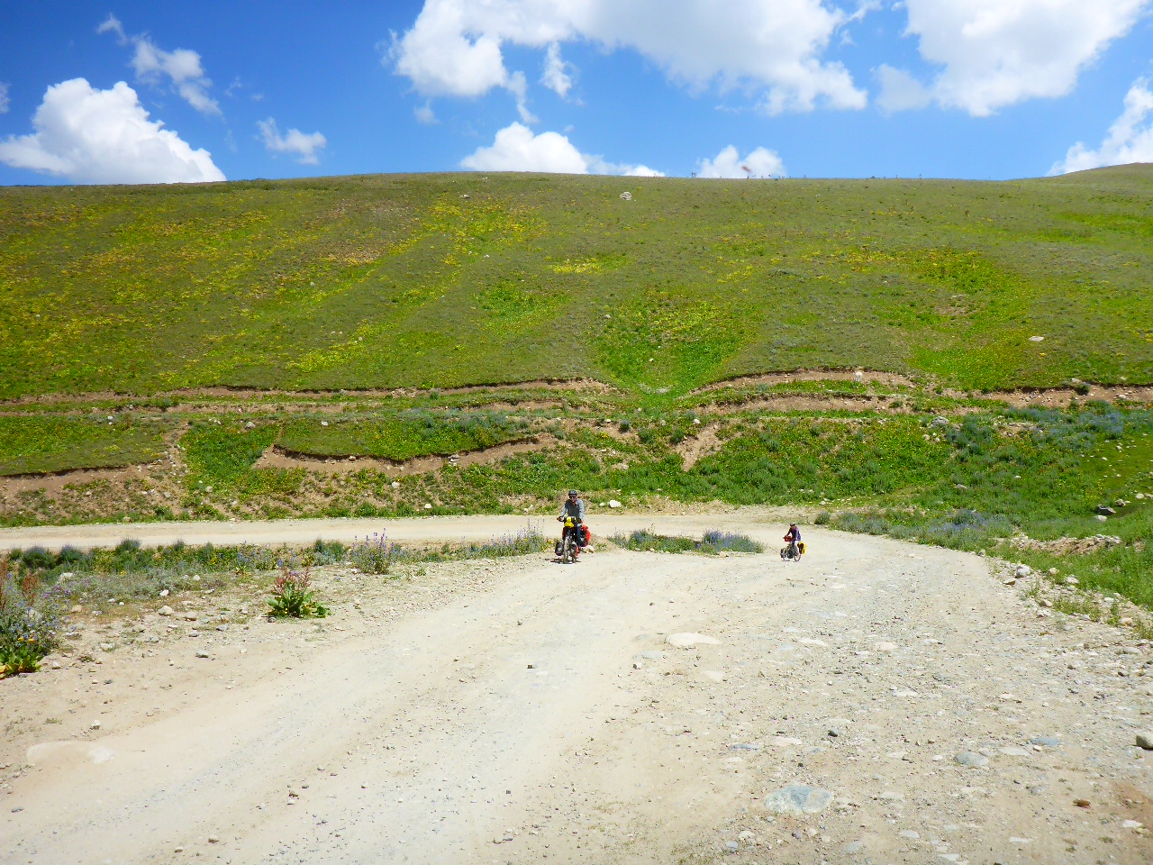
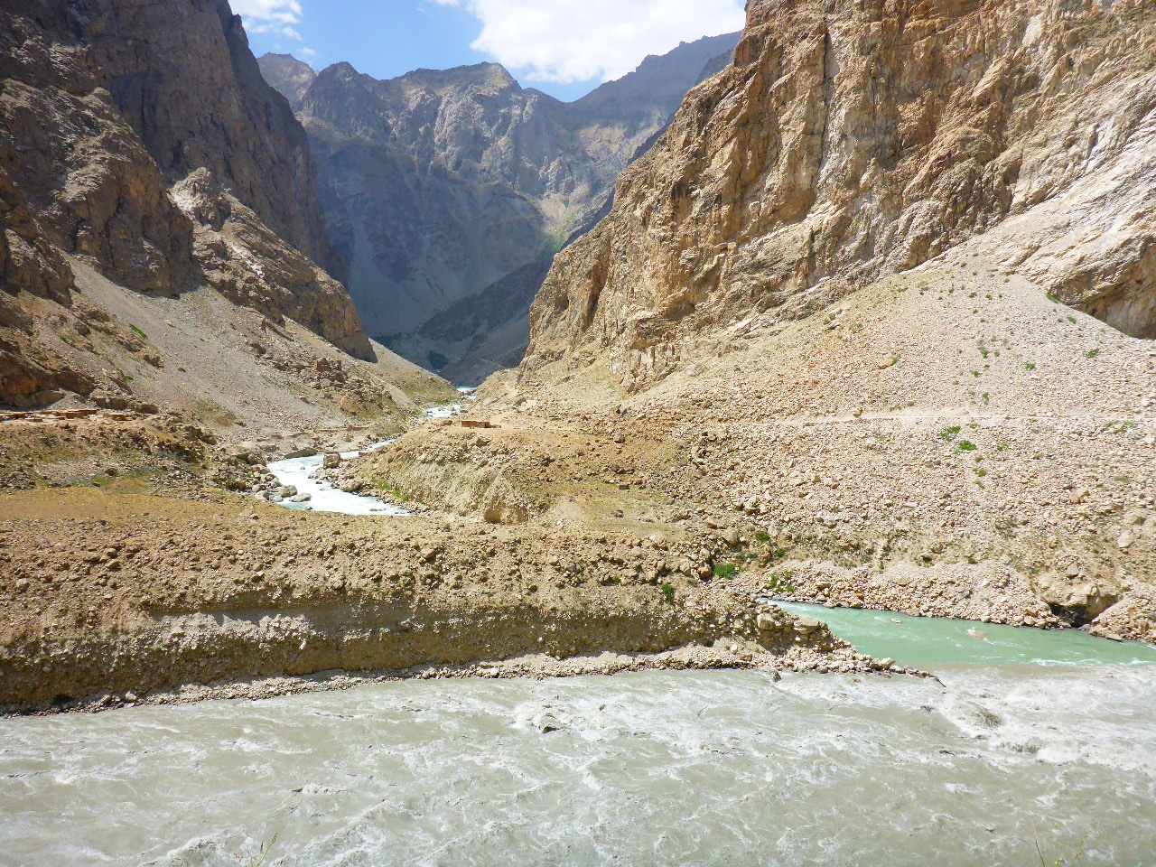
Sunday 6th August – Vox to Kuighan-tugai
Distance: 40.0 km
Total Distance: 15802.48 km
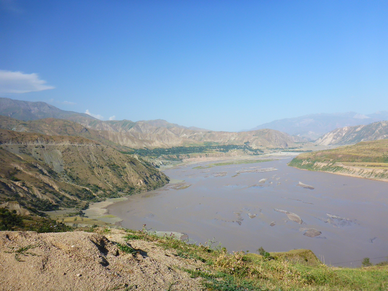
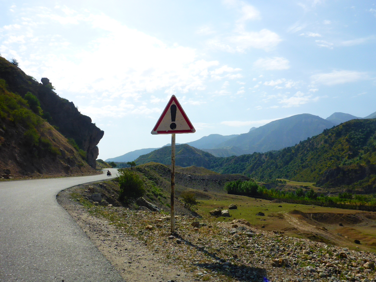
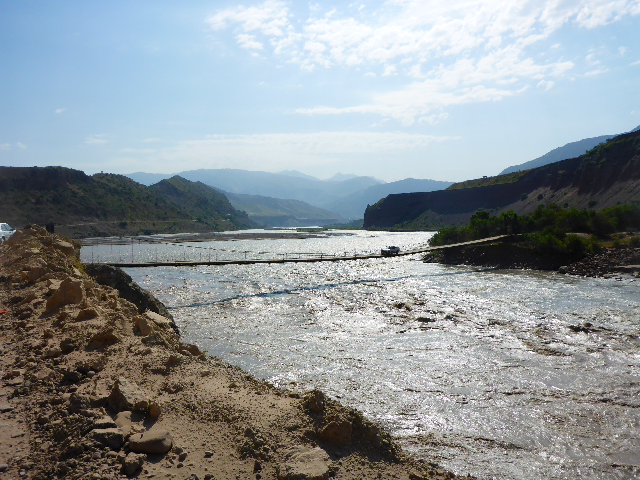
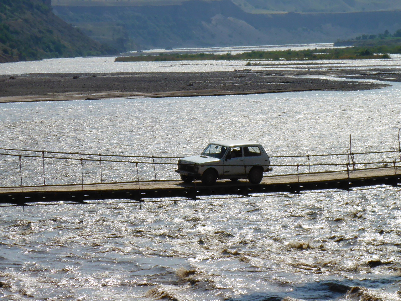
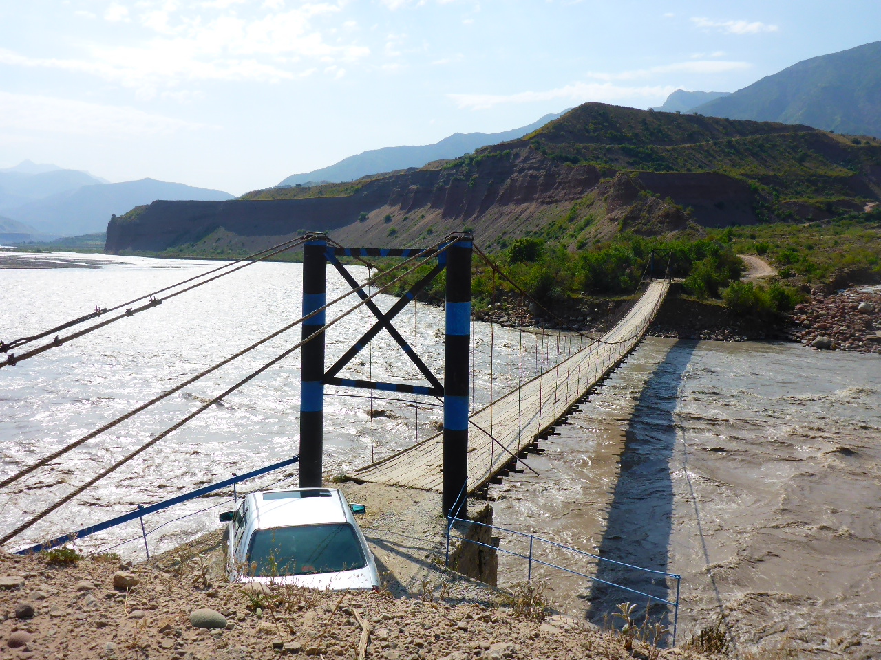
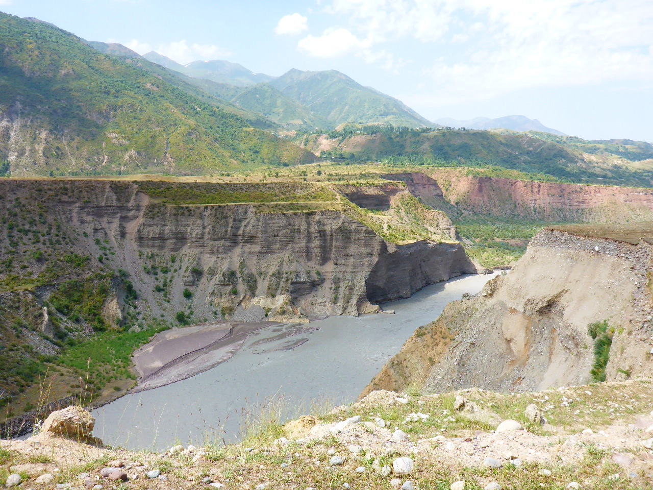
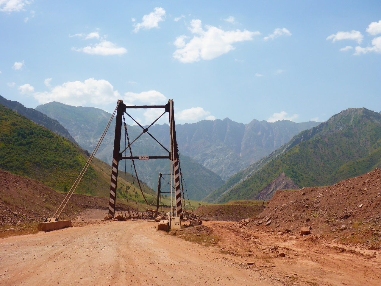
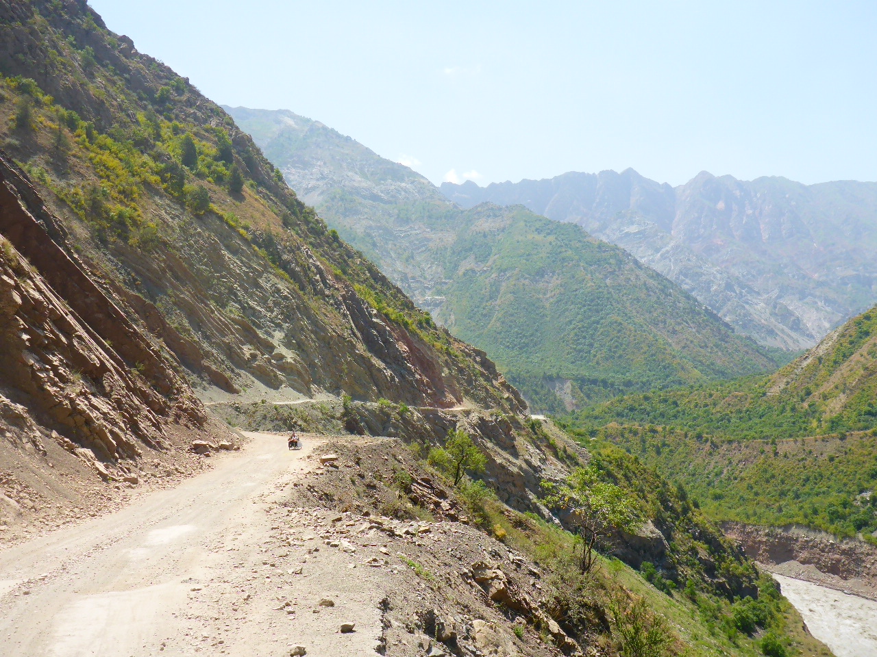
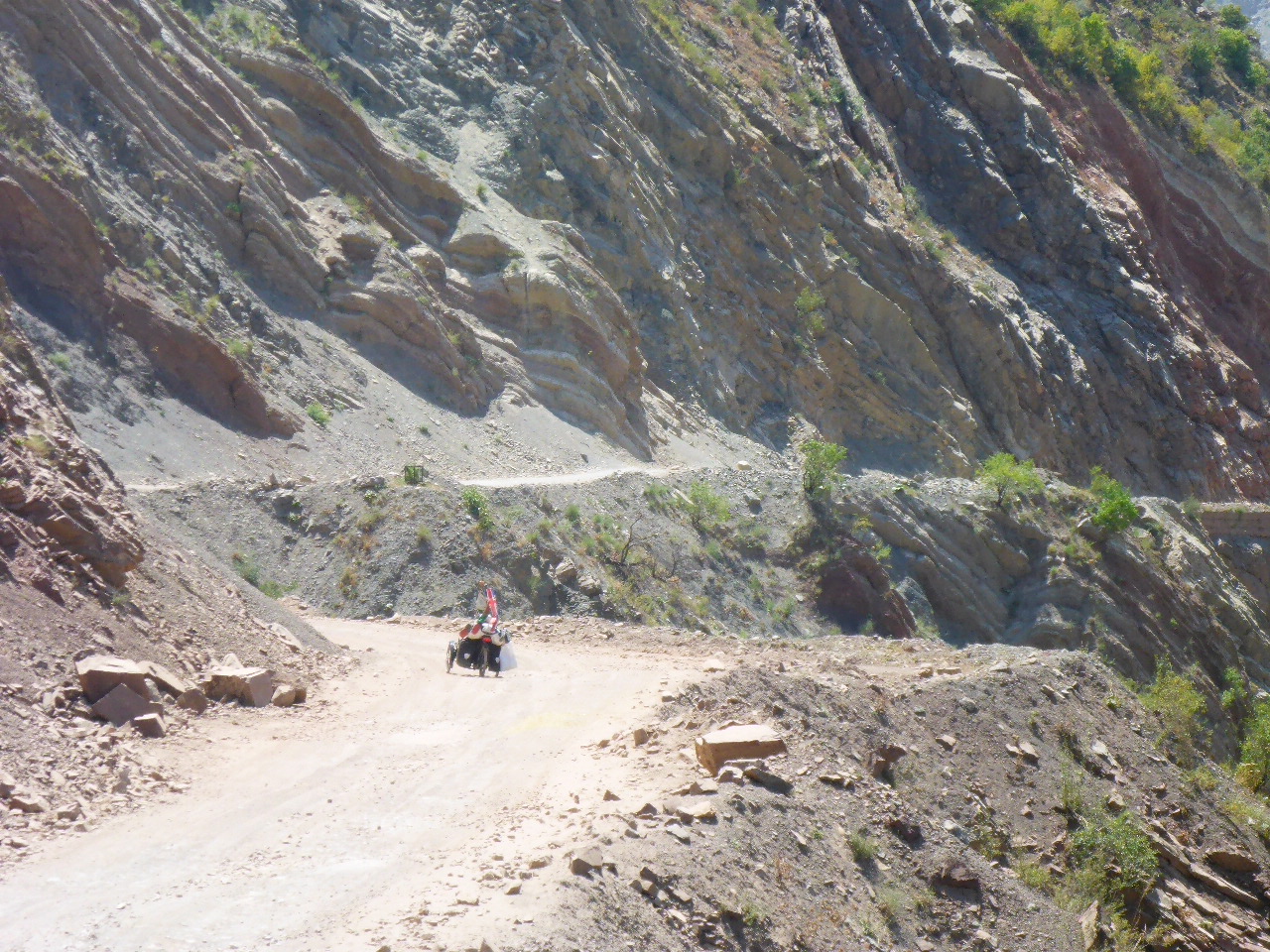
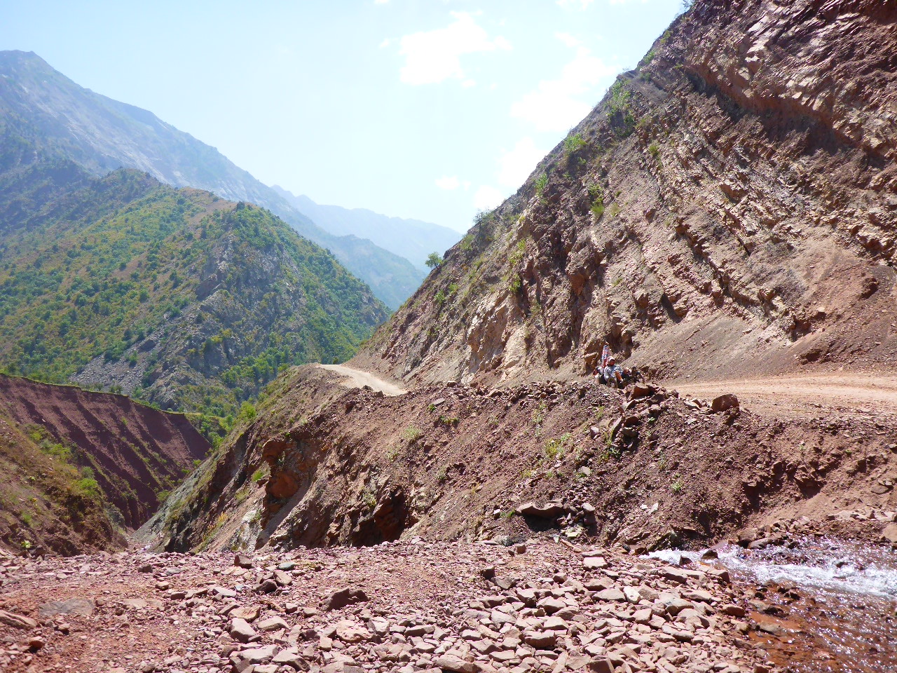
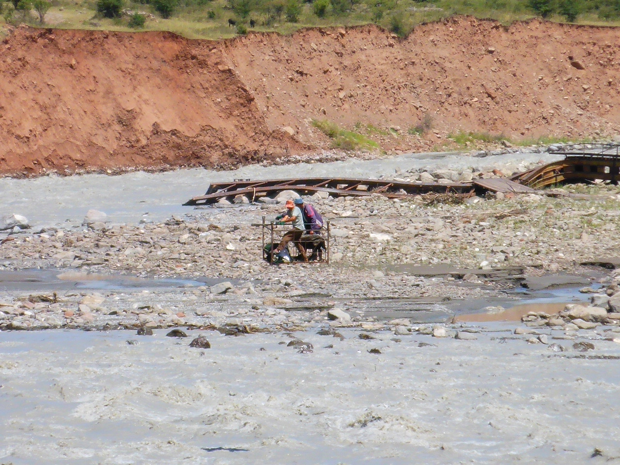
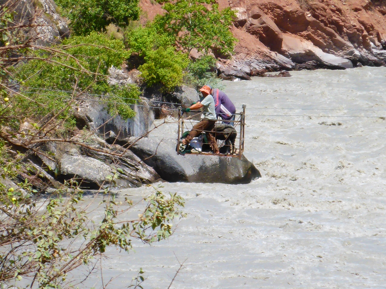
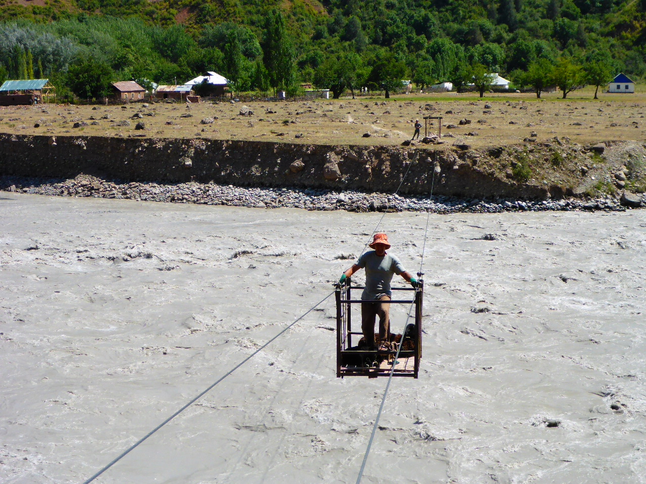
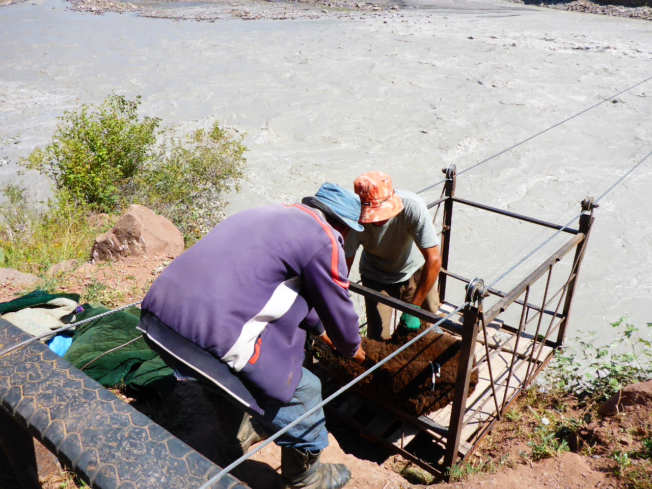
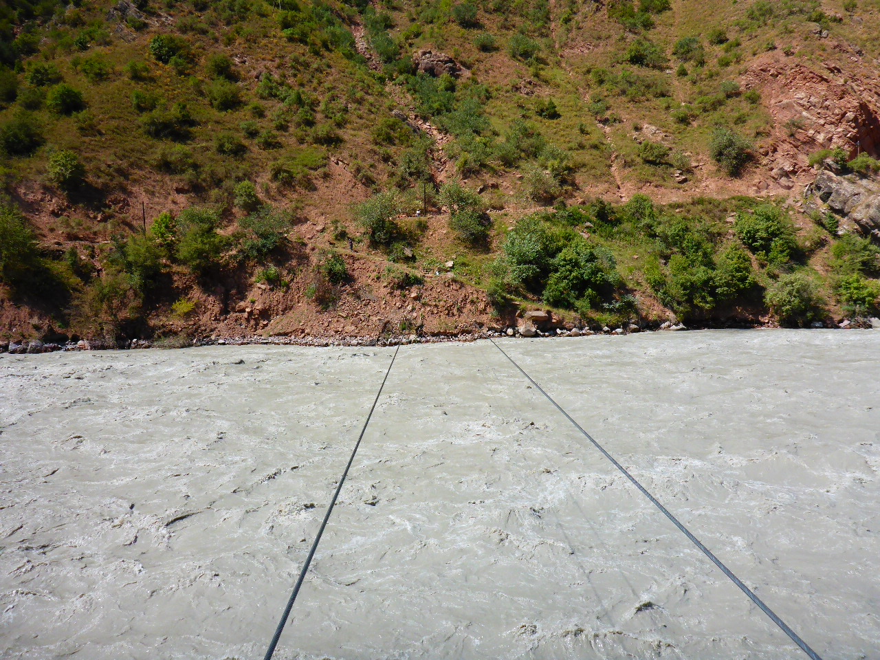
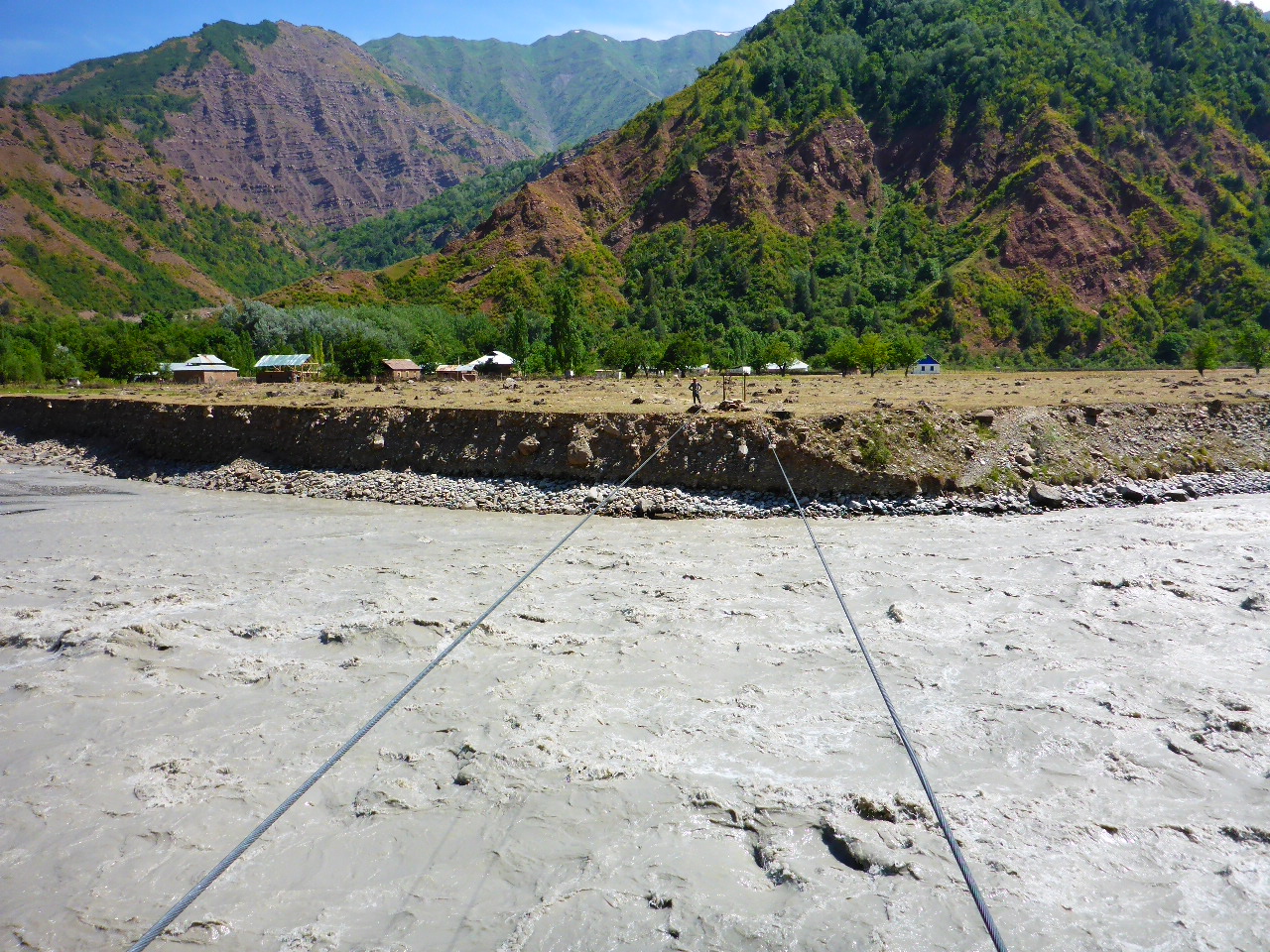
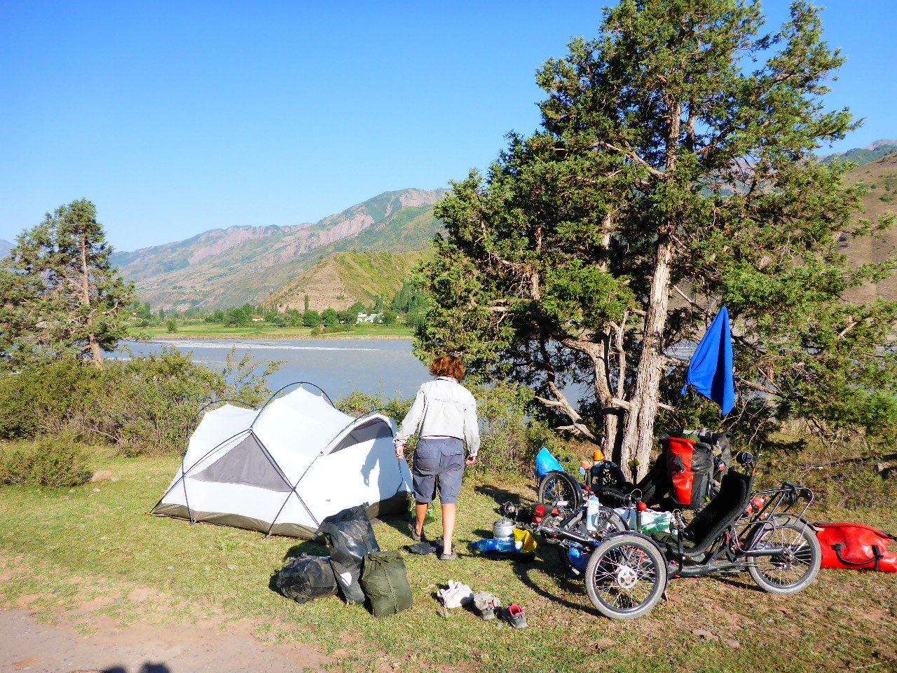
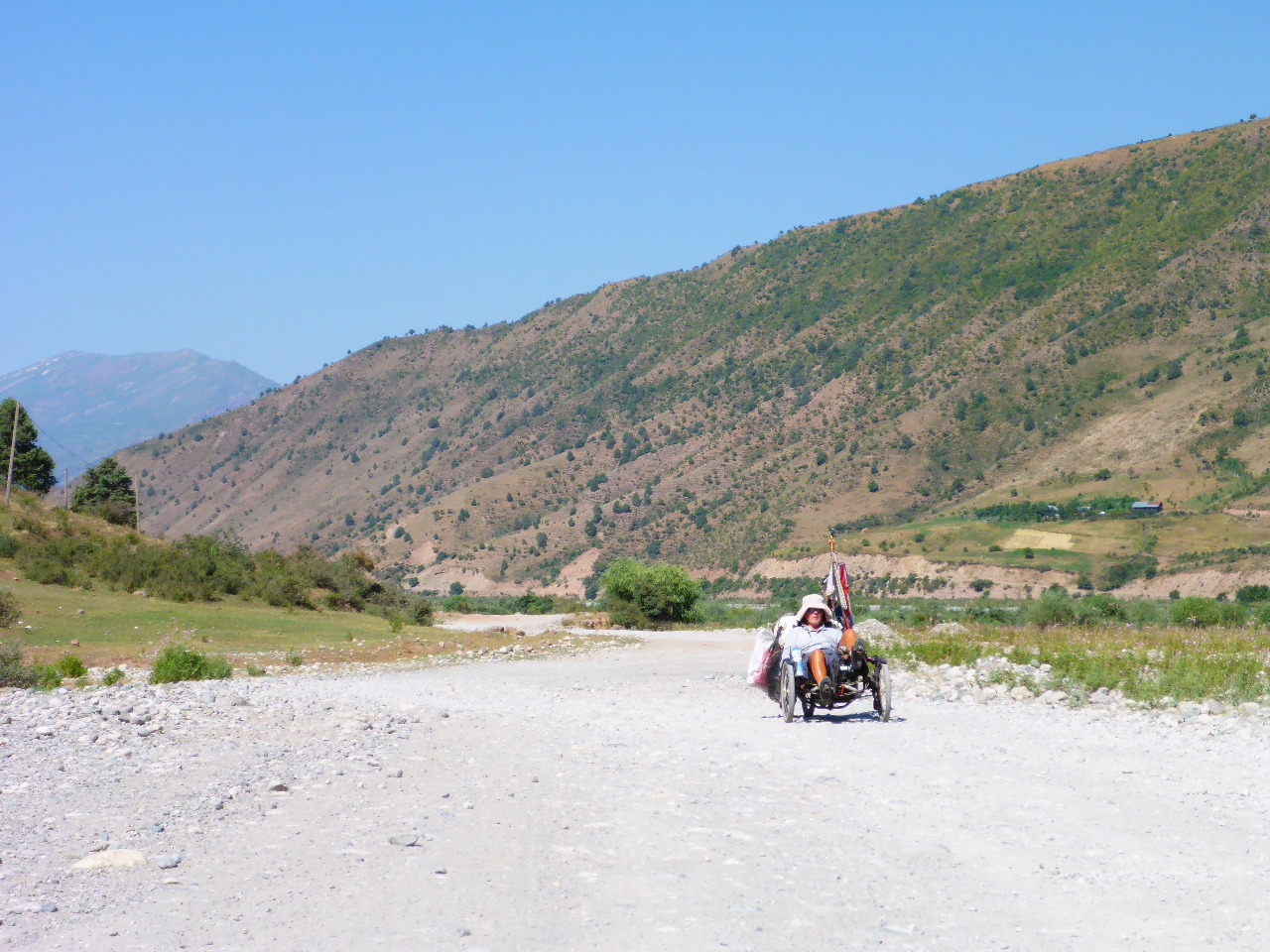
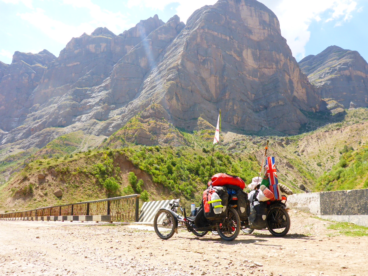
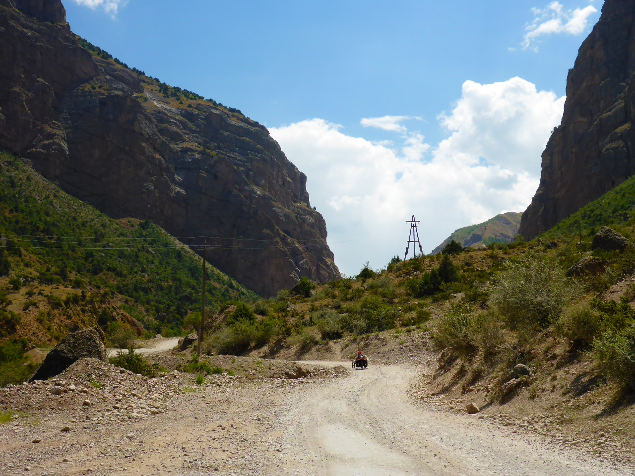
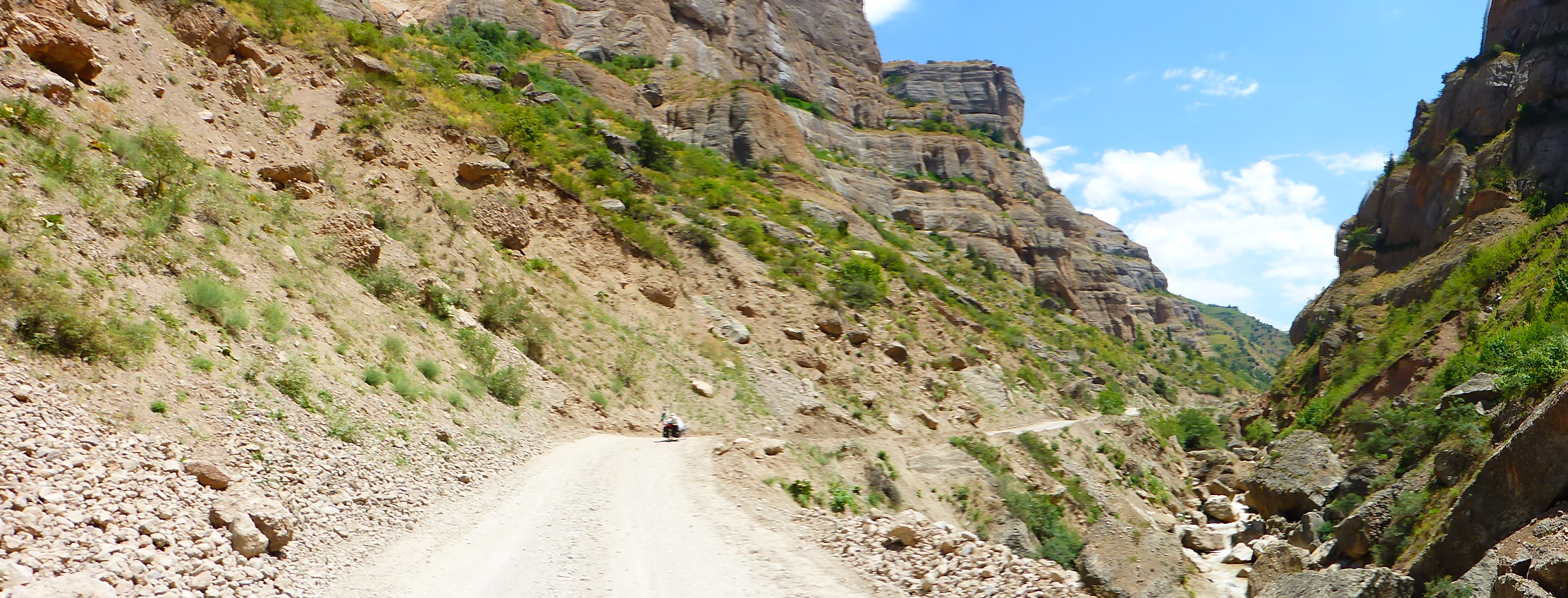
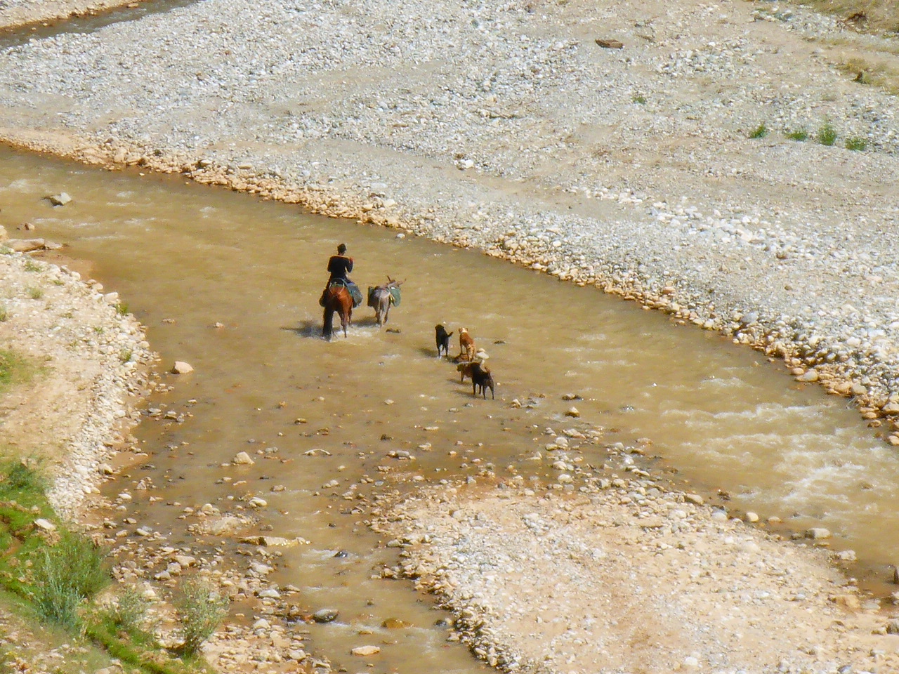
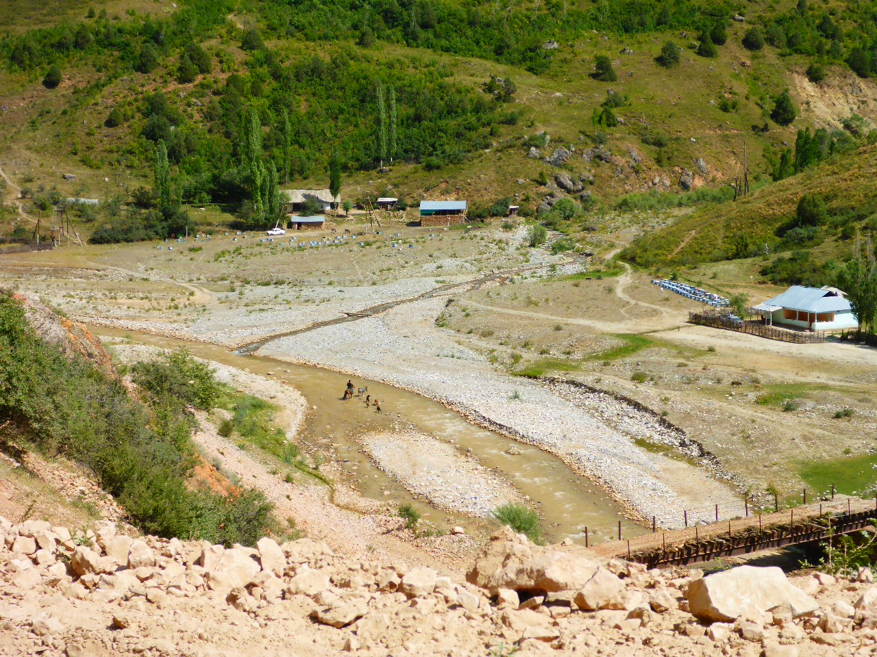
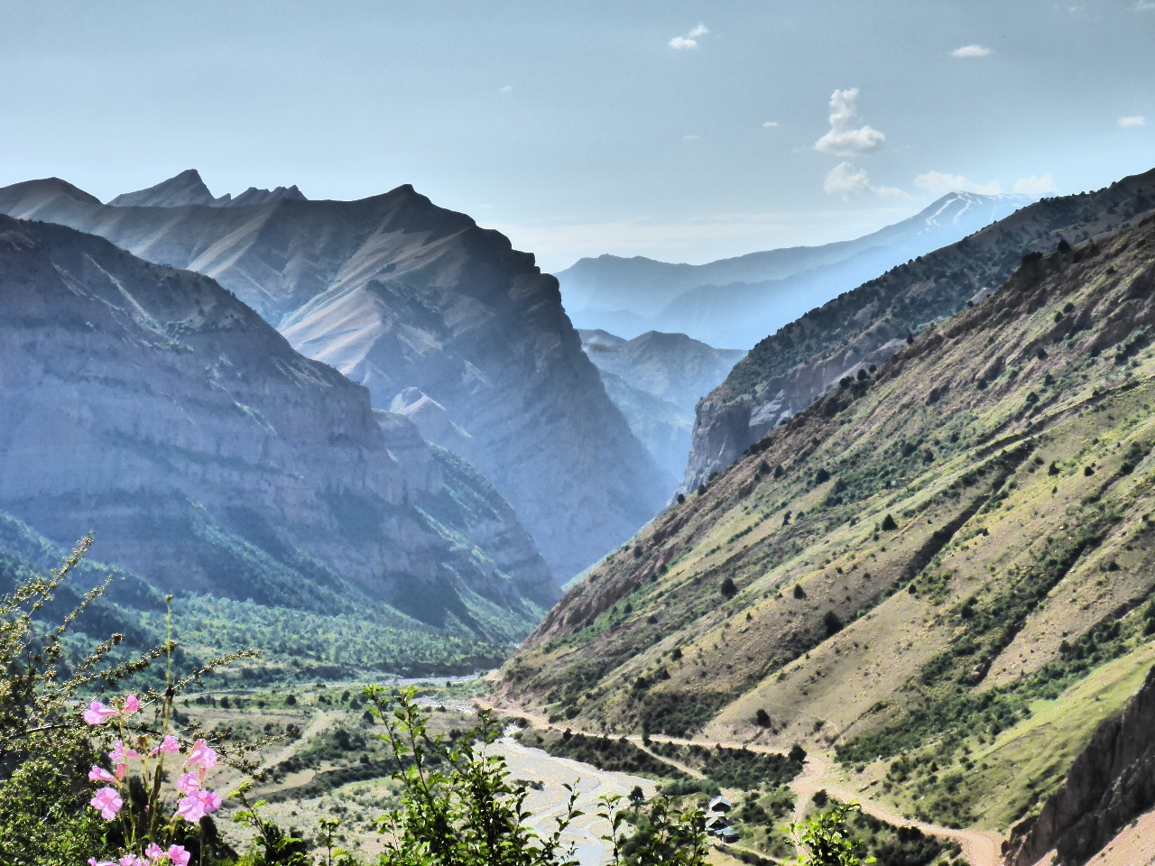
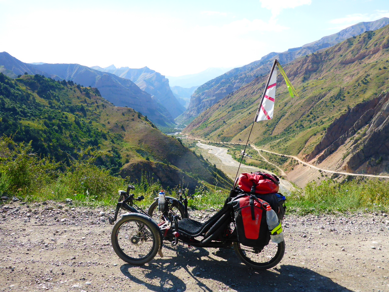
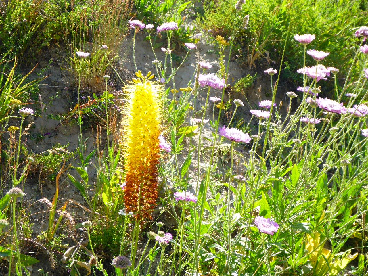
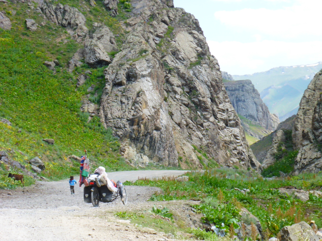
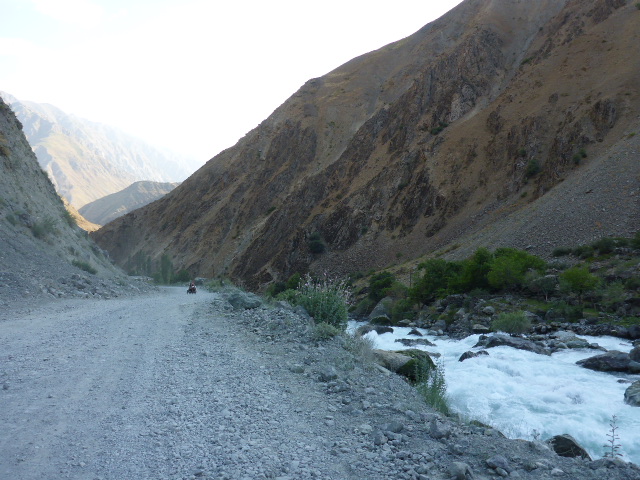
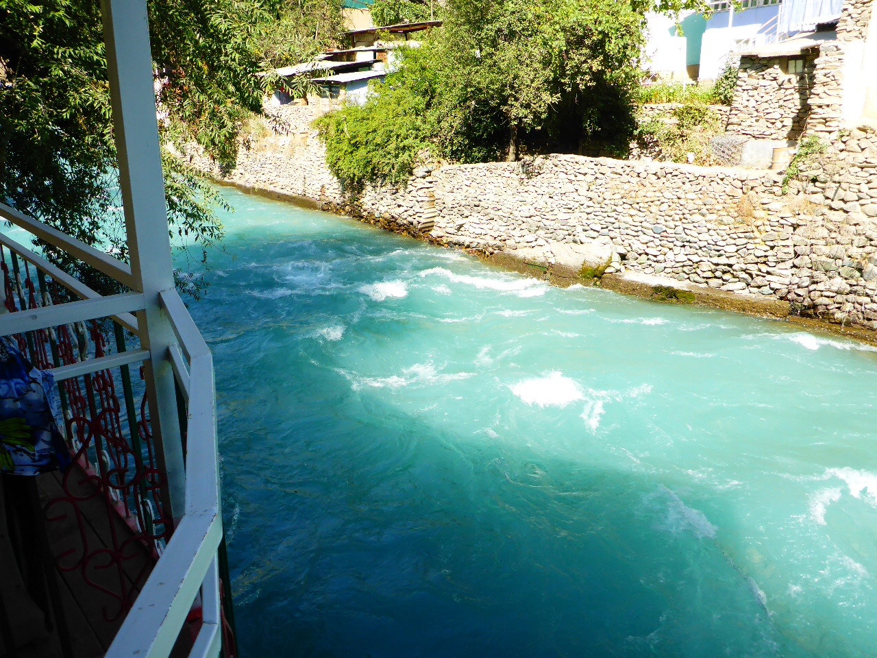
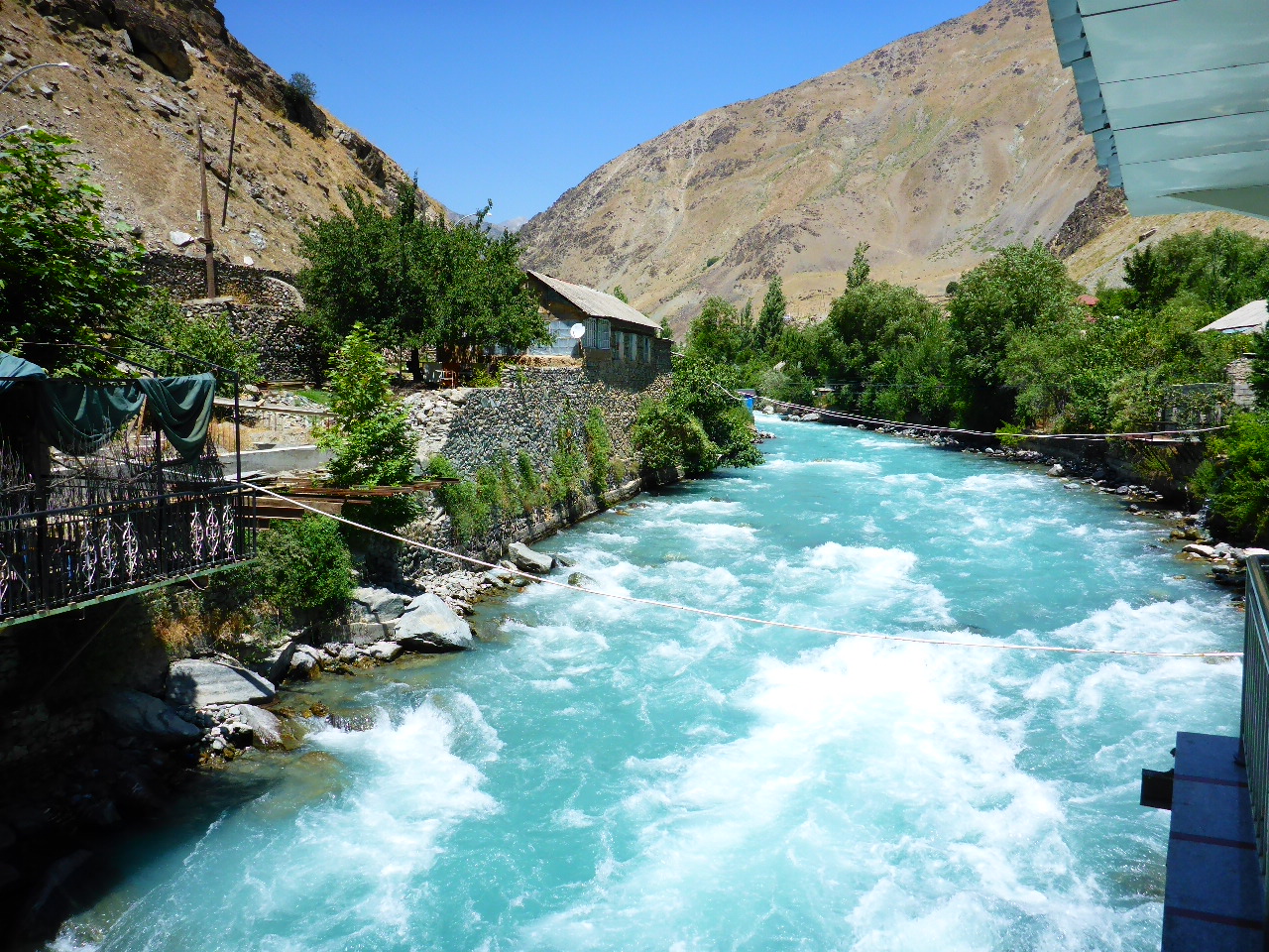
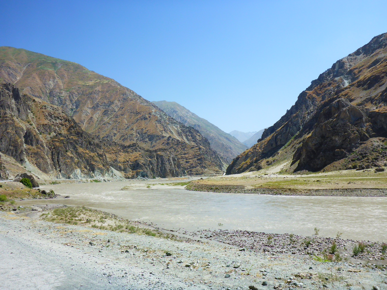
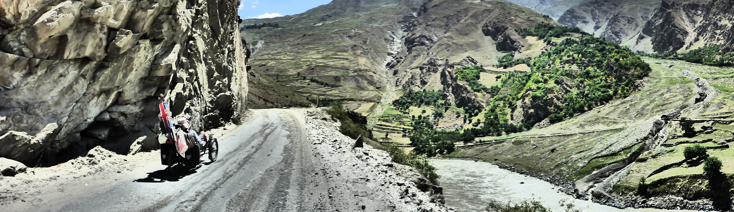
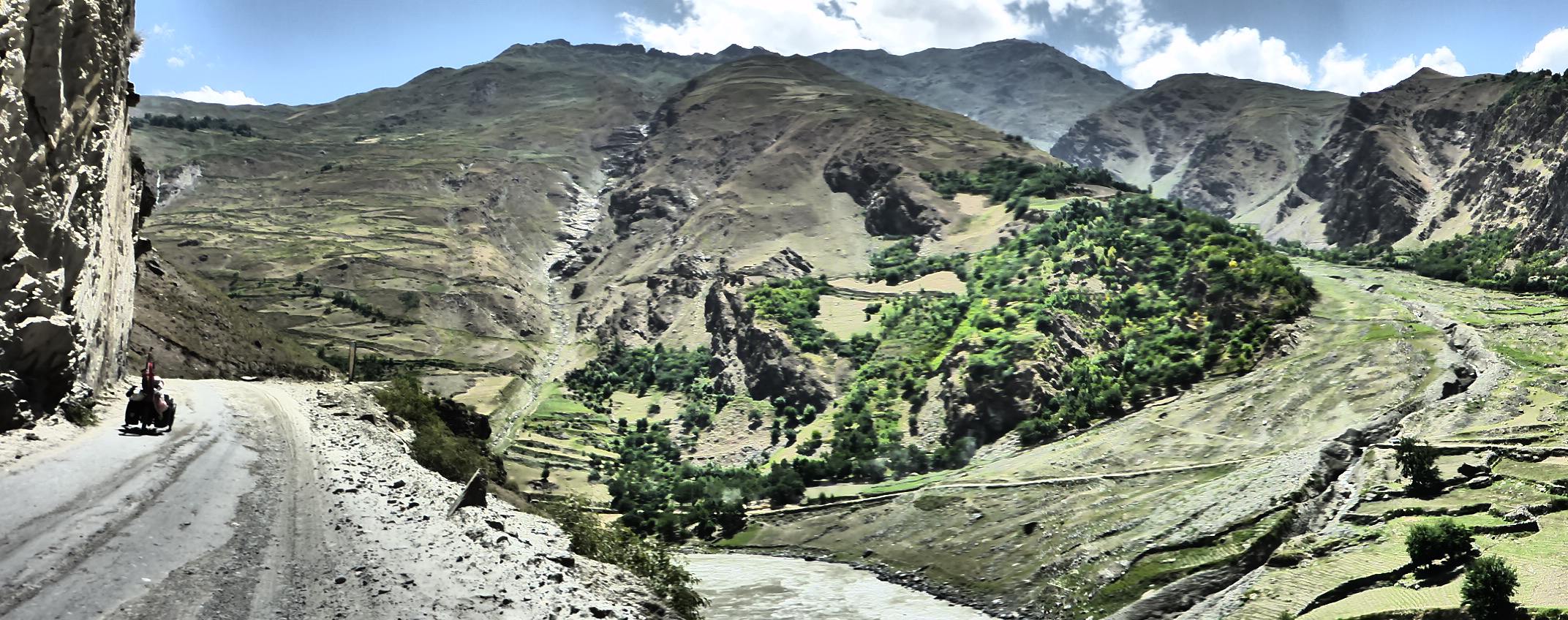
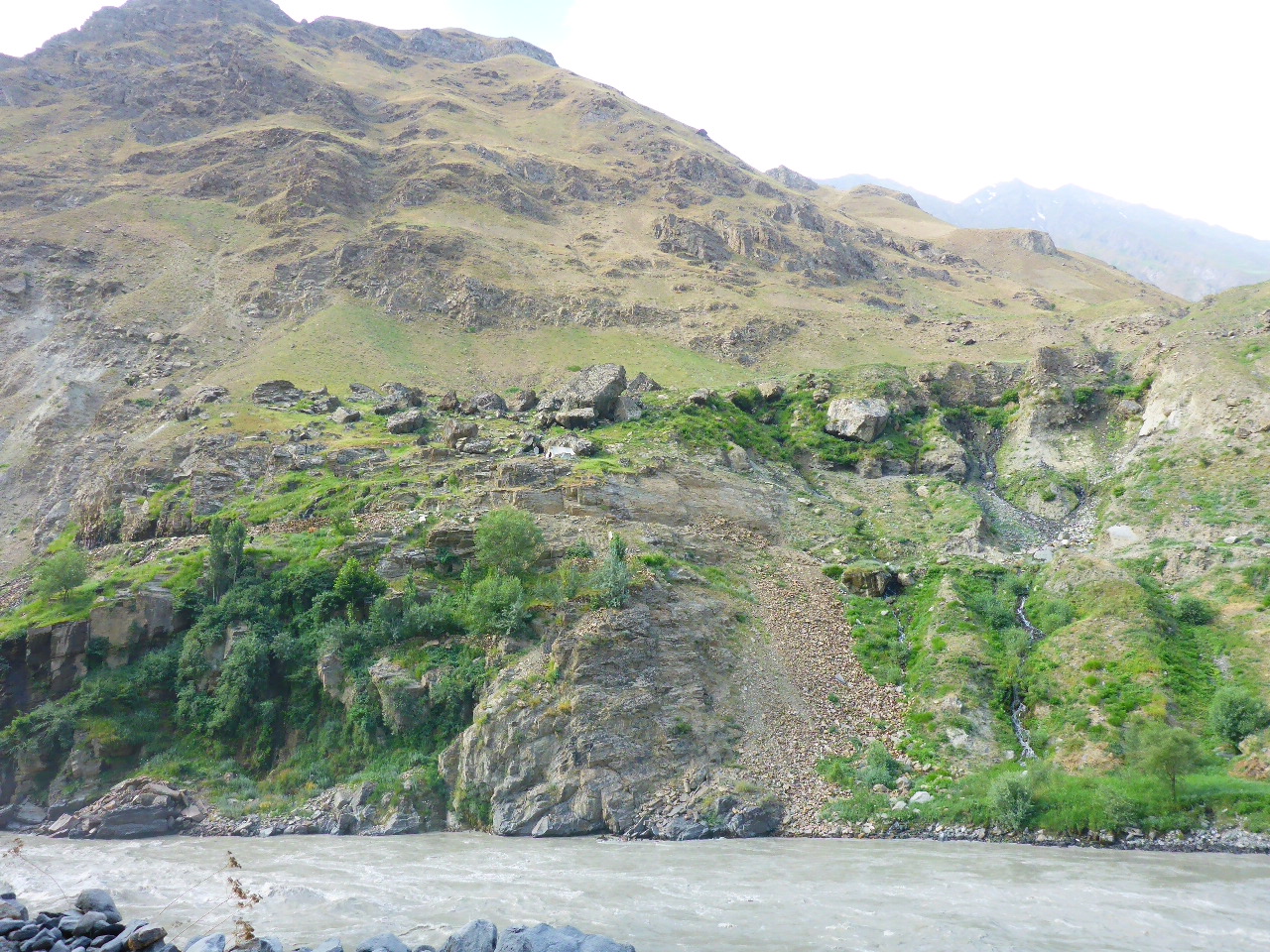
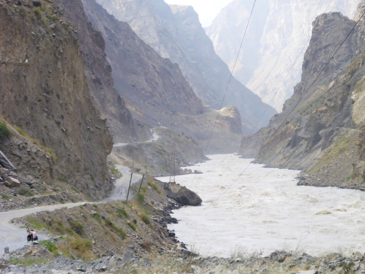
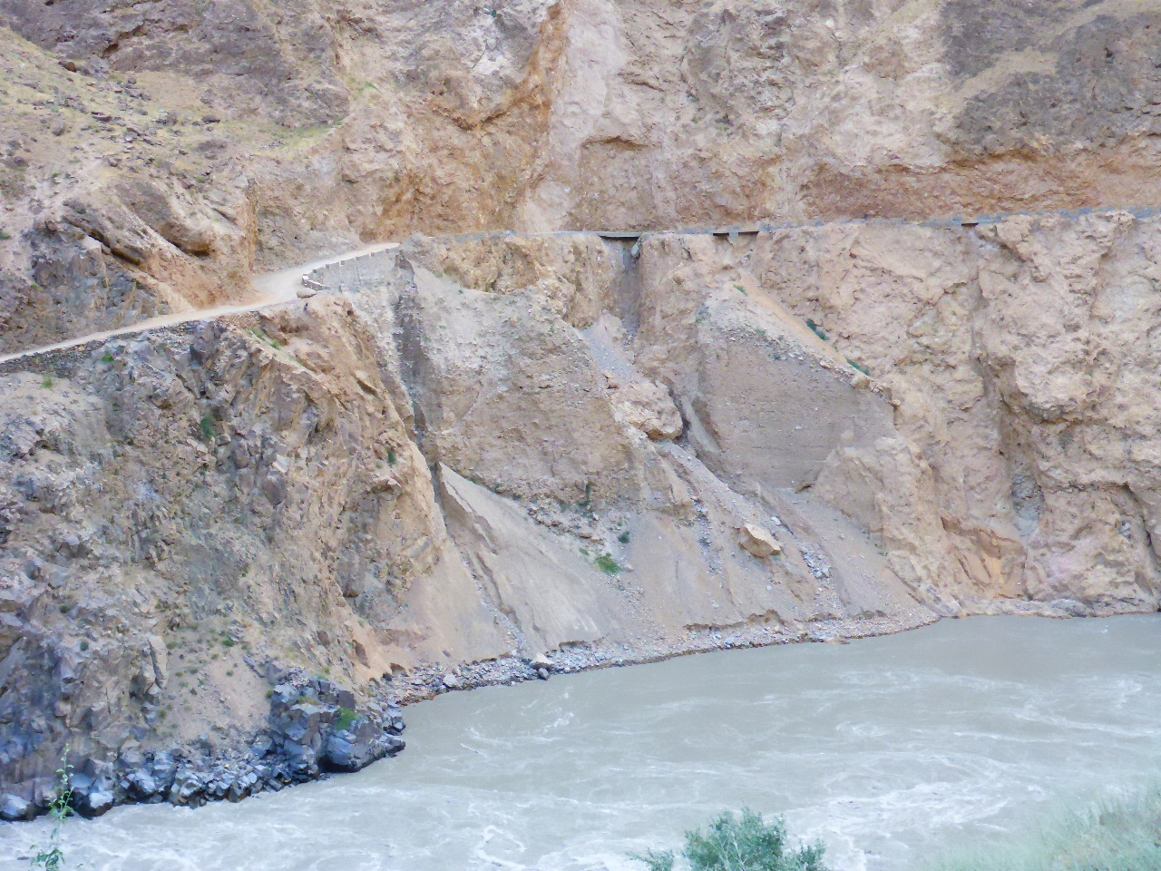
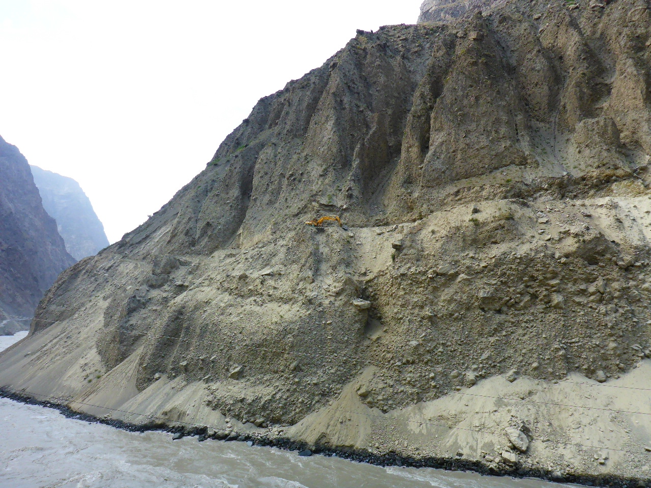
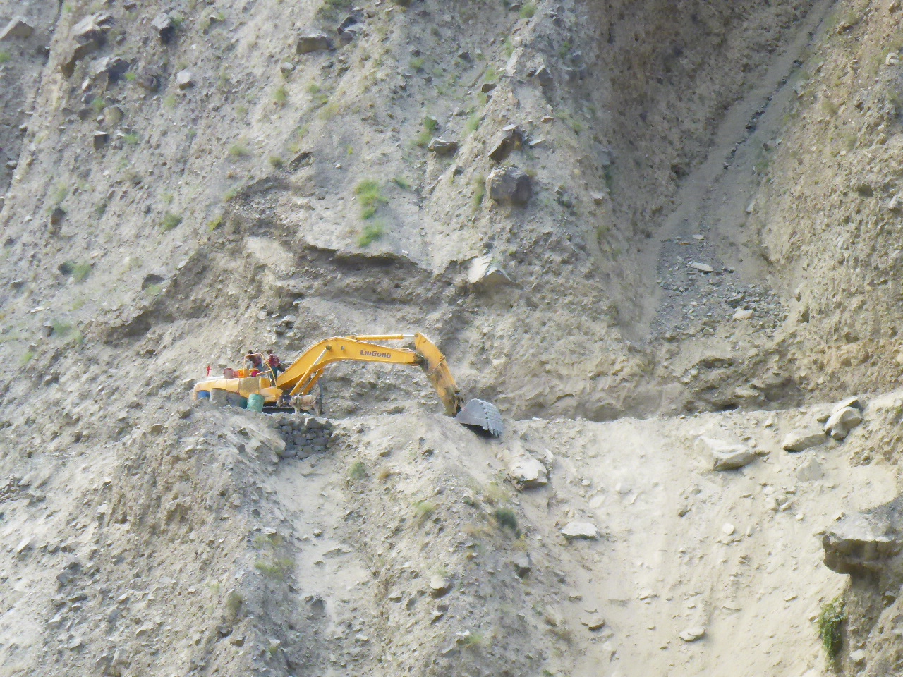
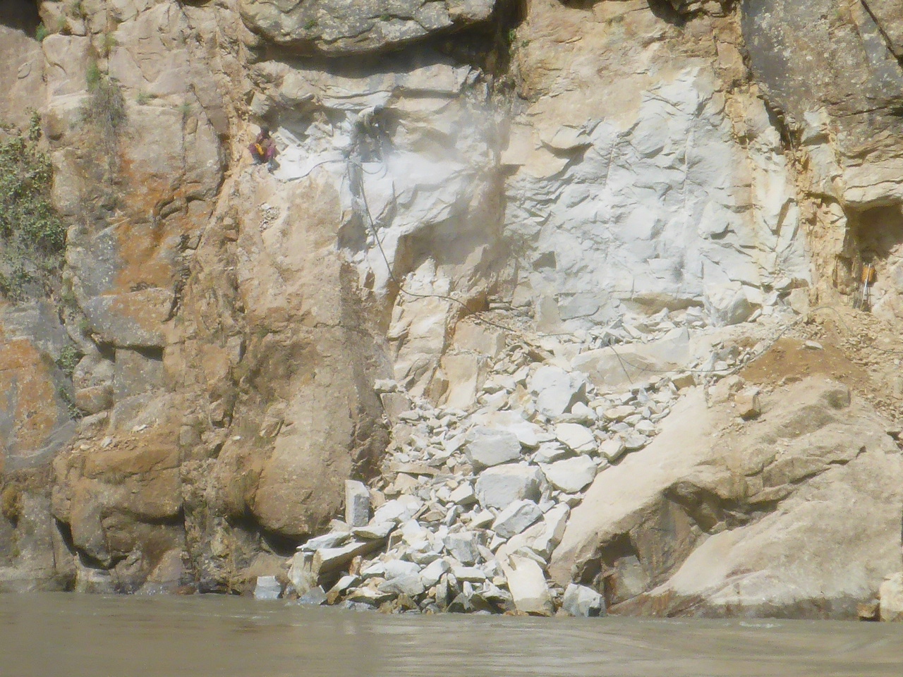
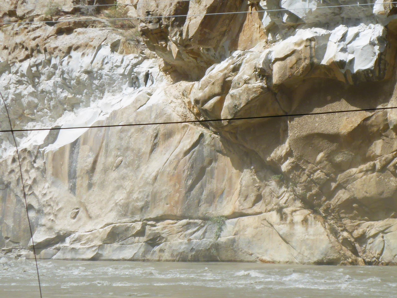
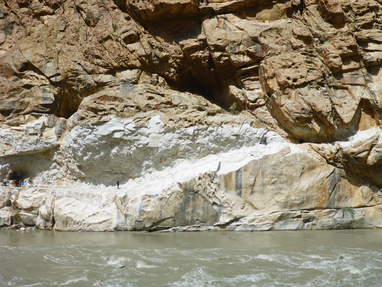
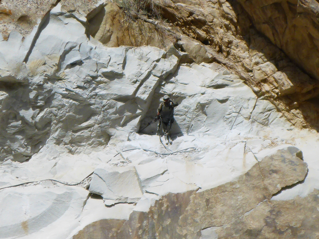
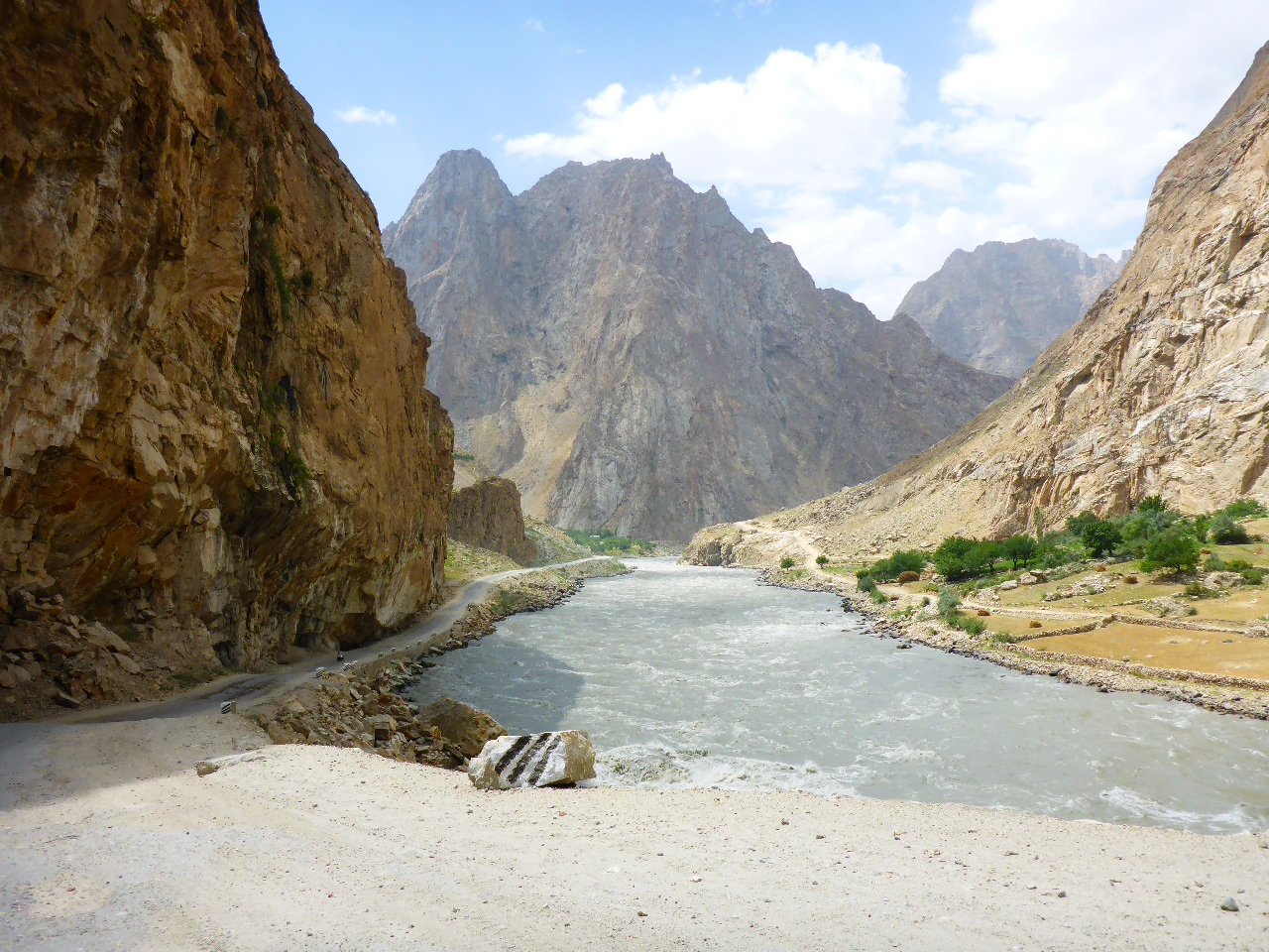
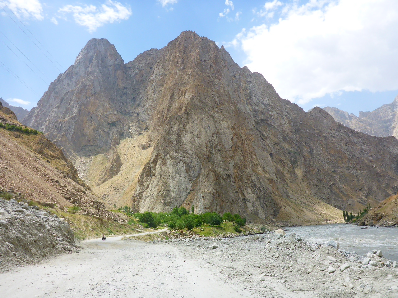
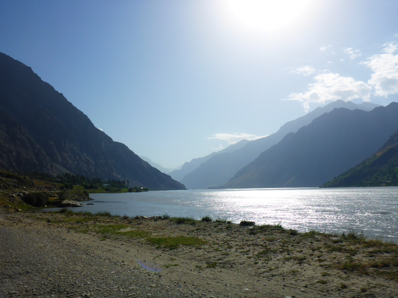
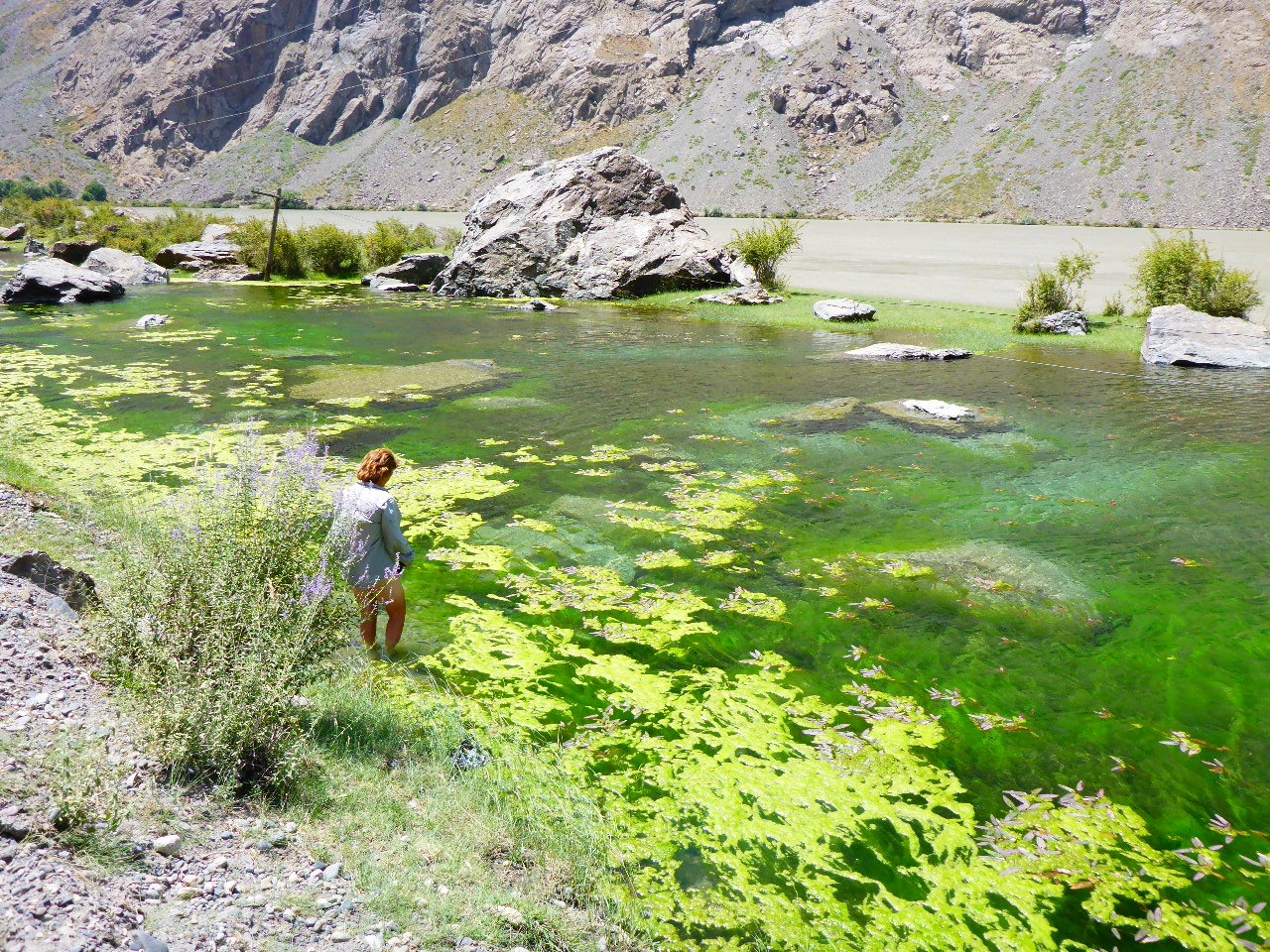
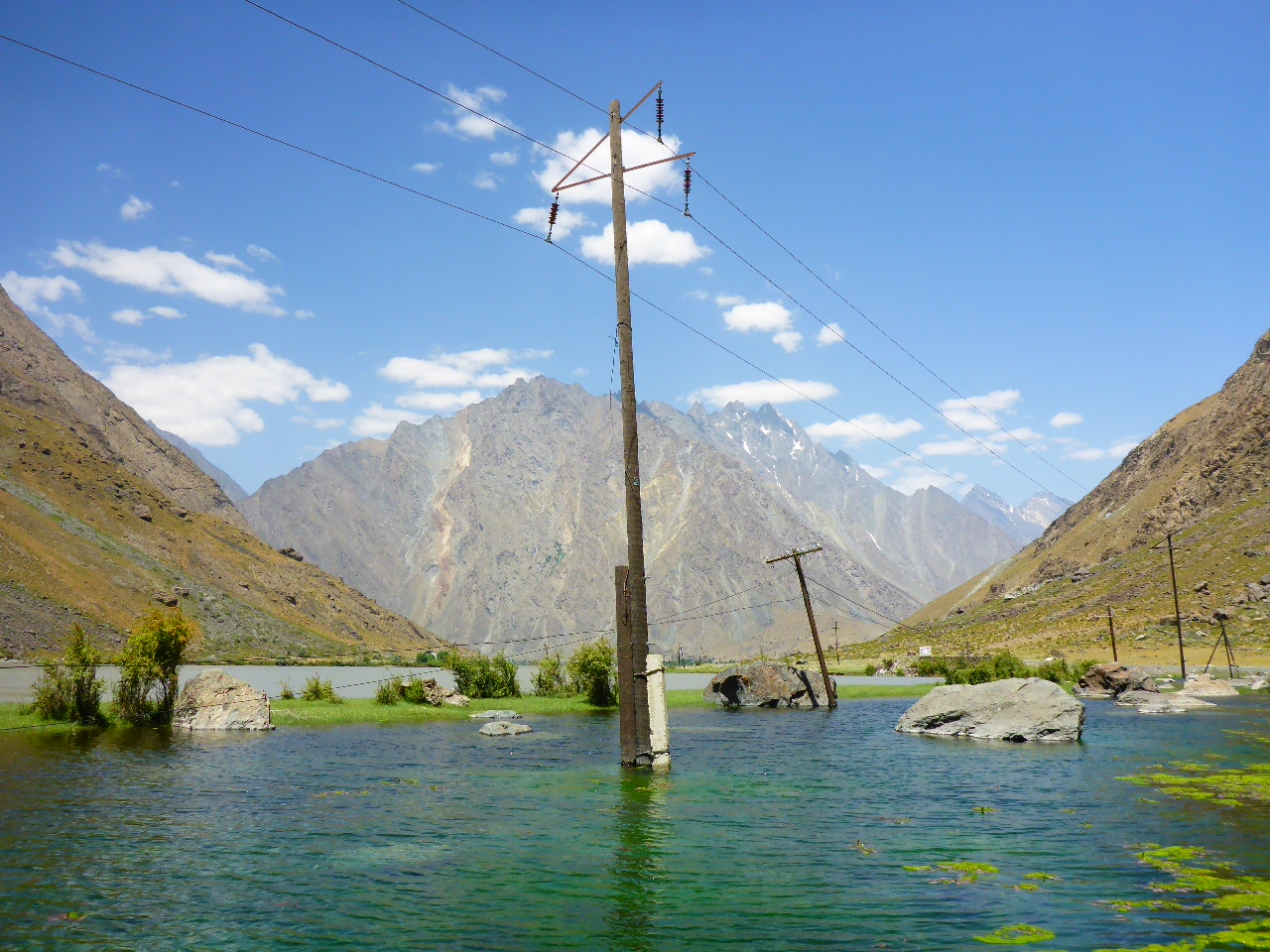
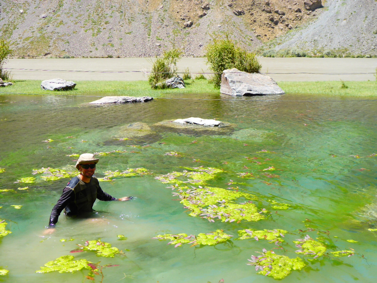
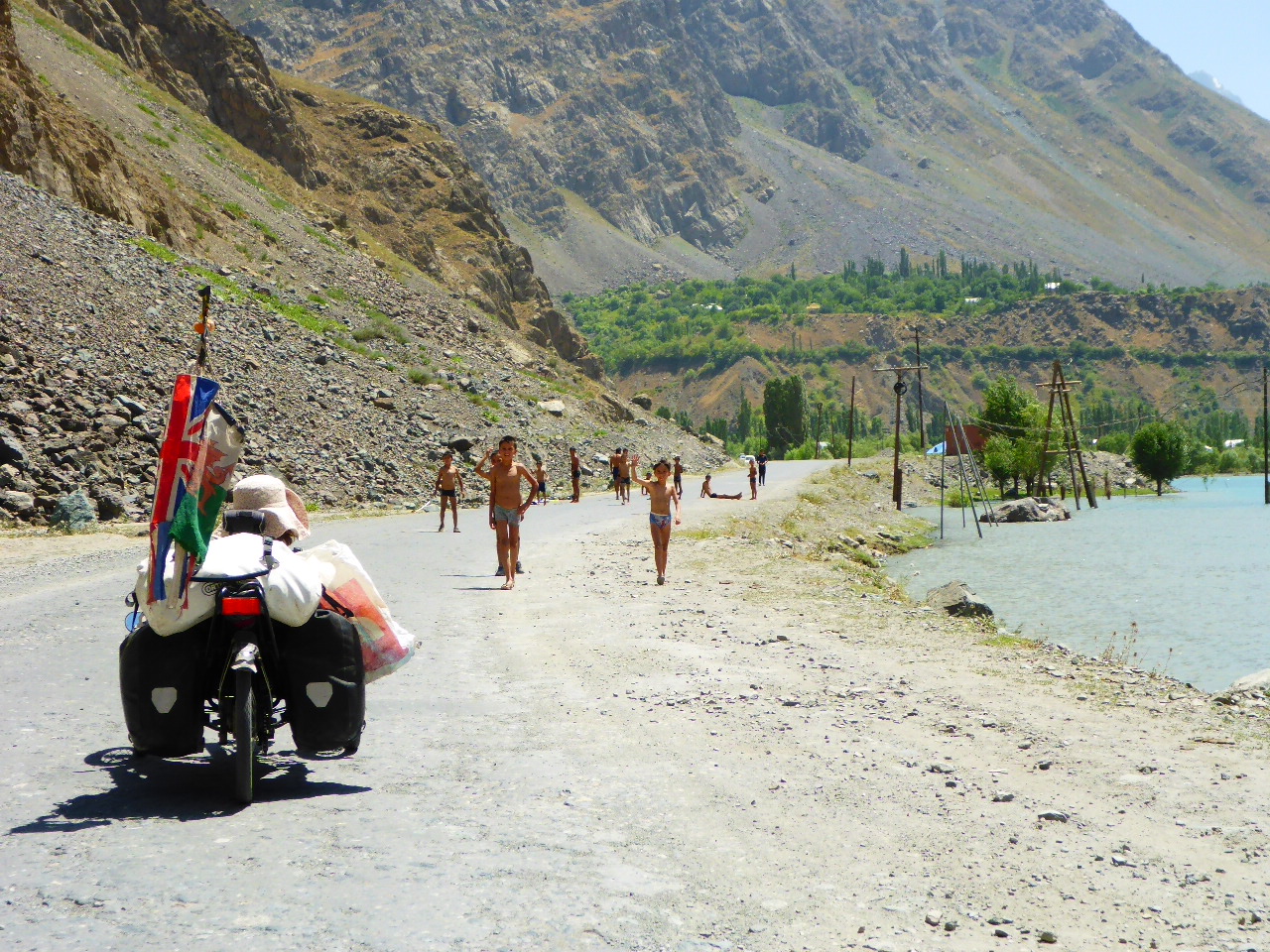
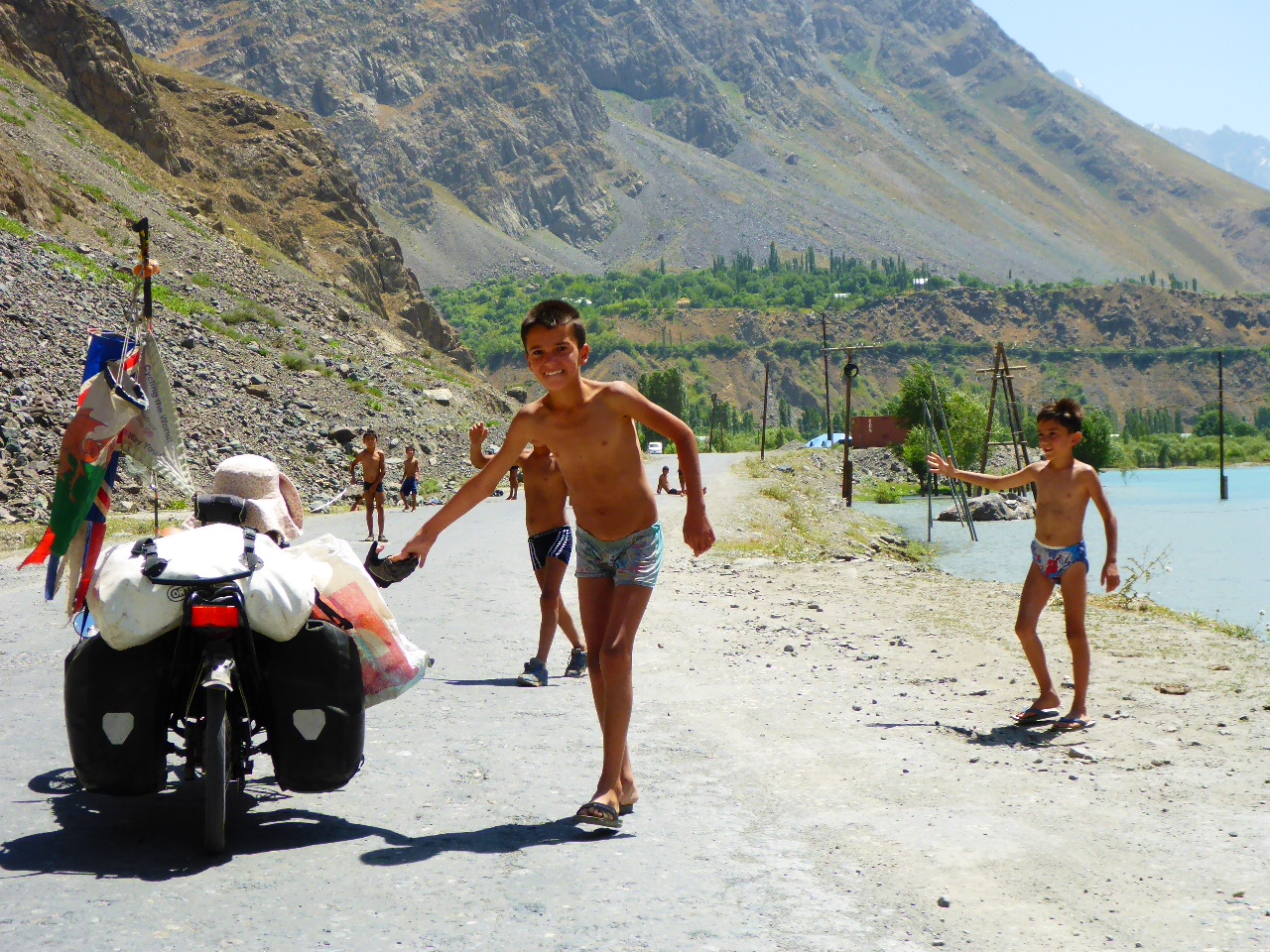
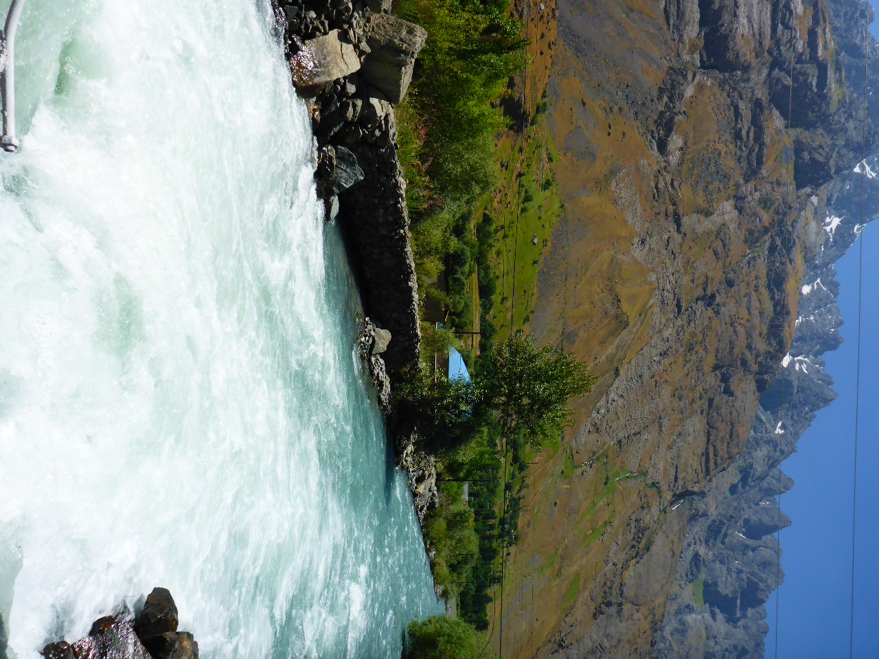
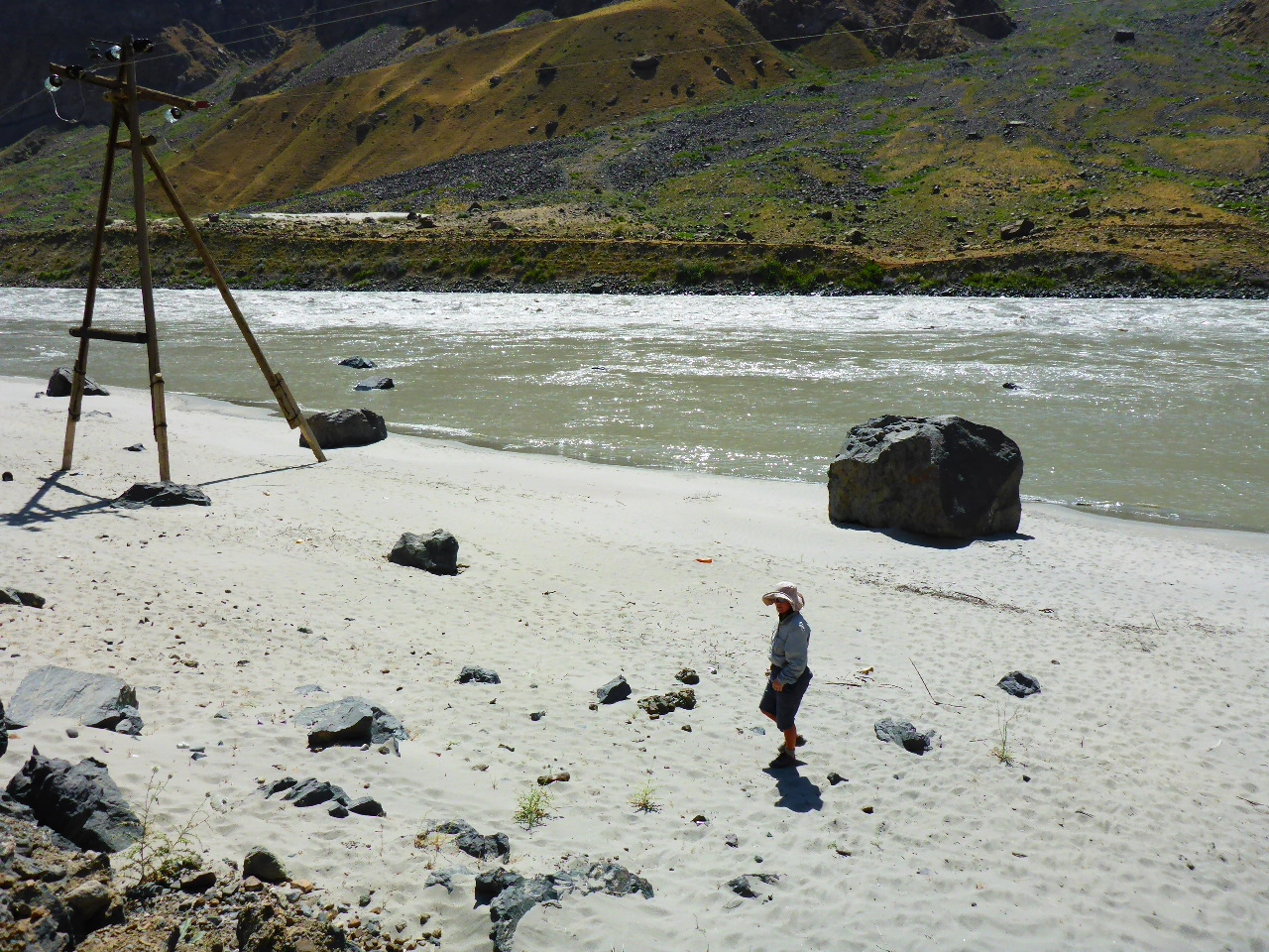
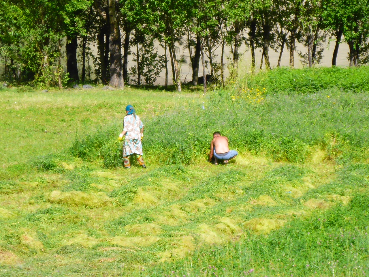
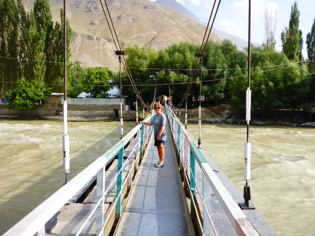
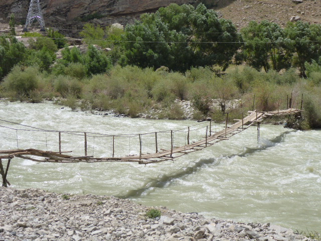
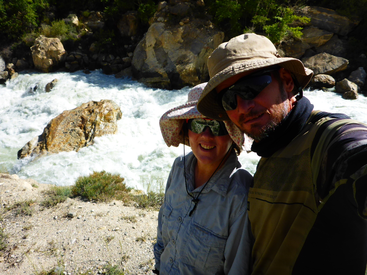
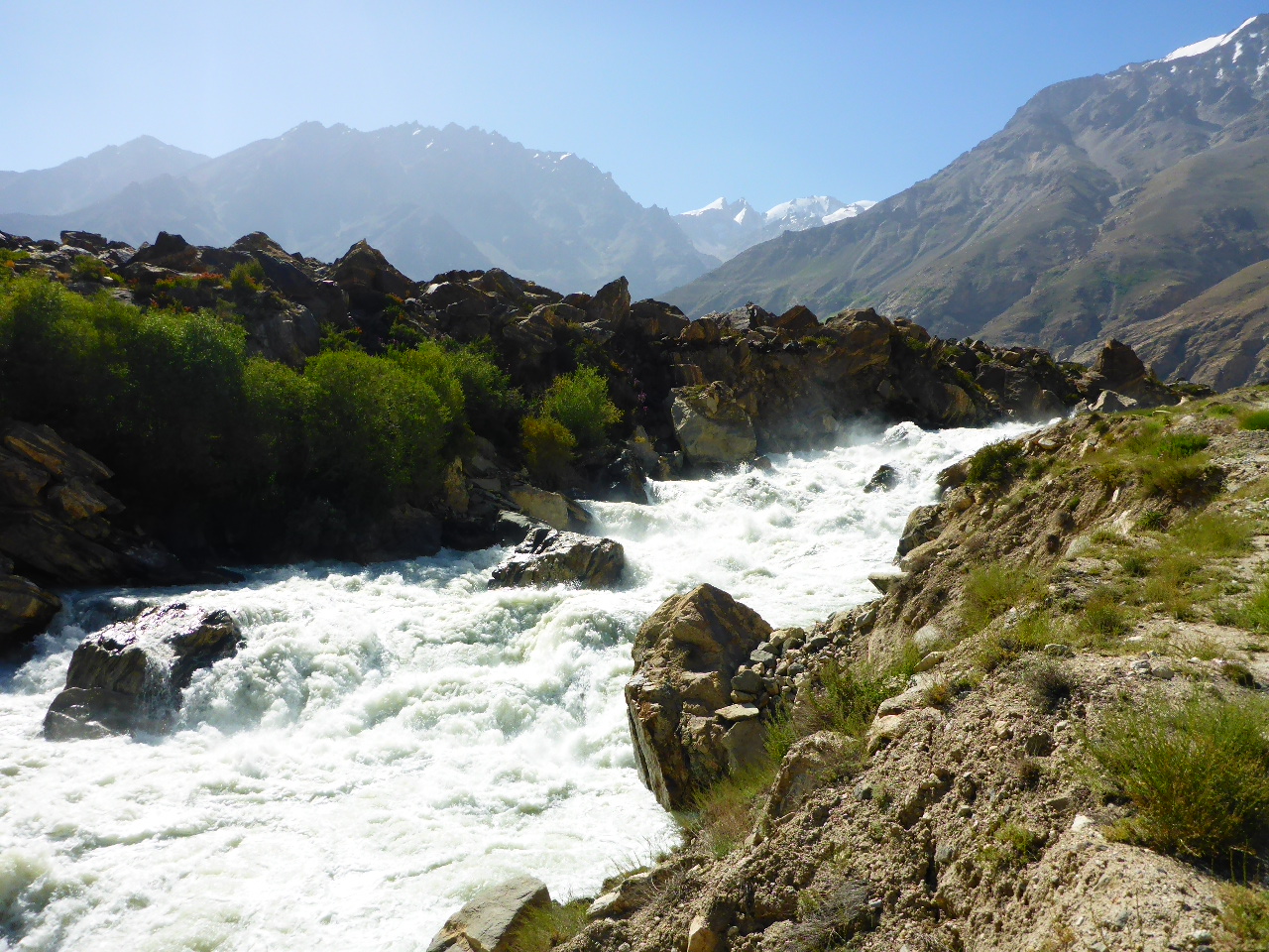
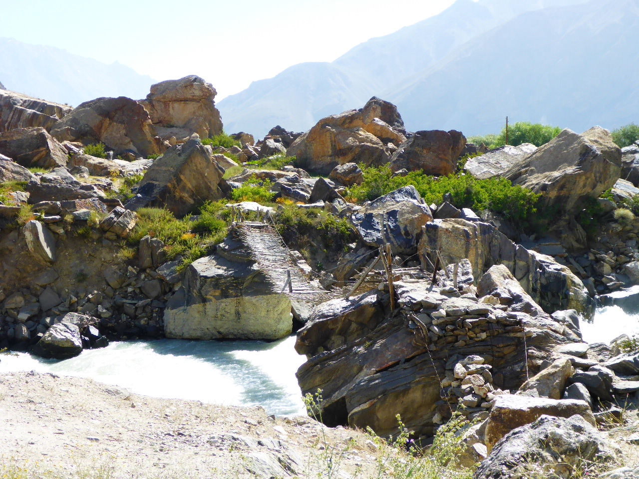
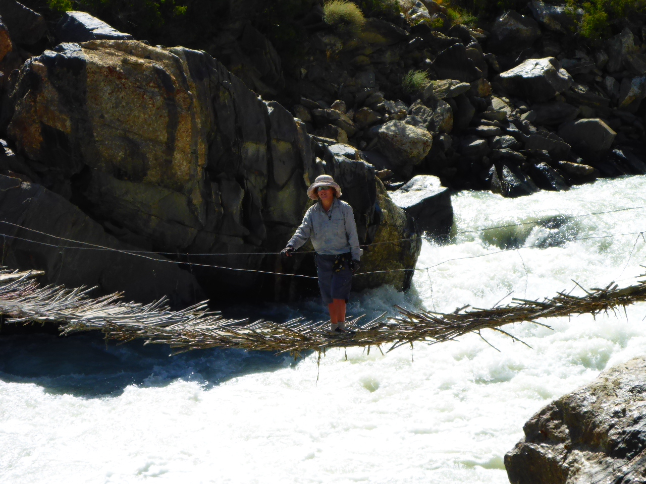
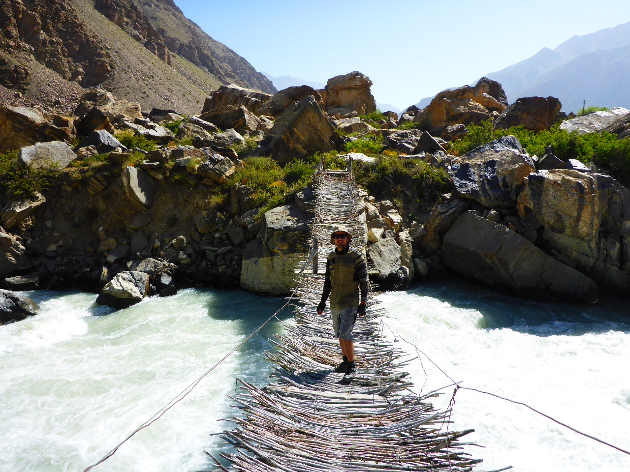
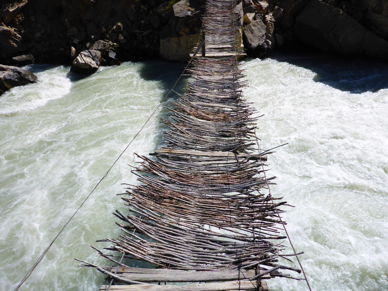
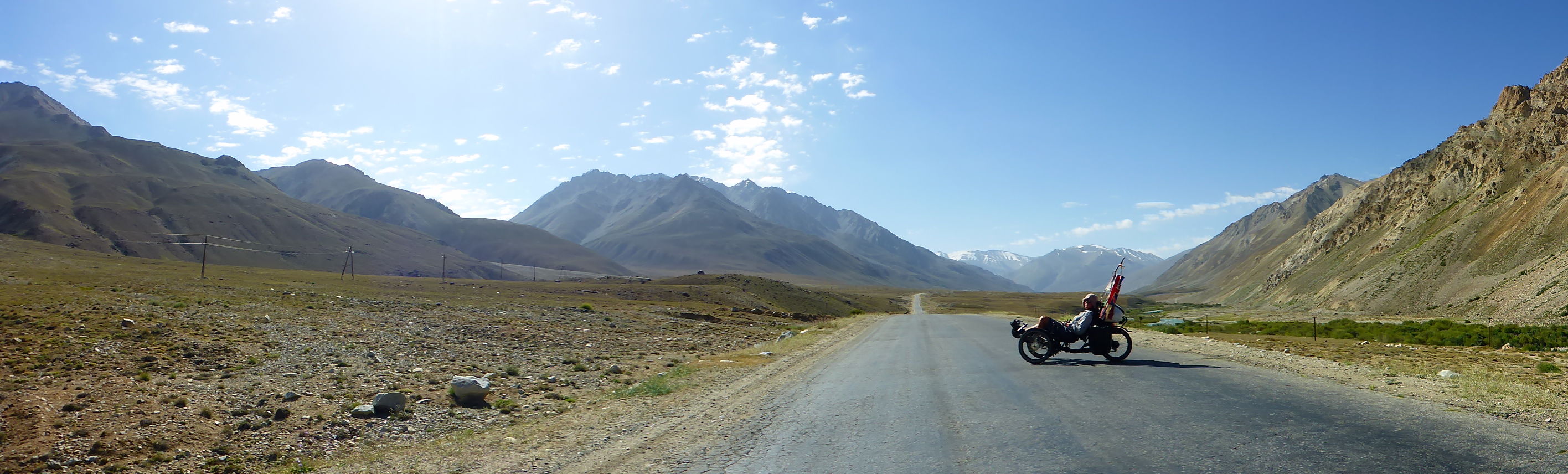
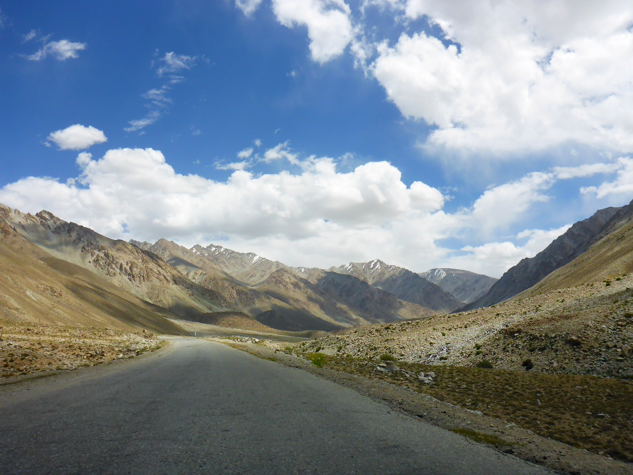
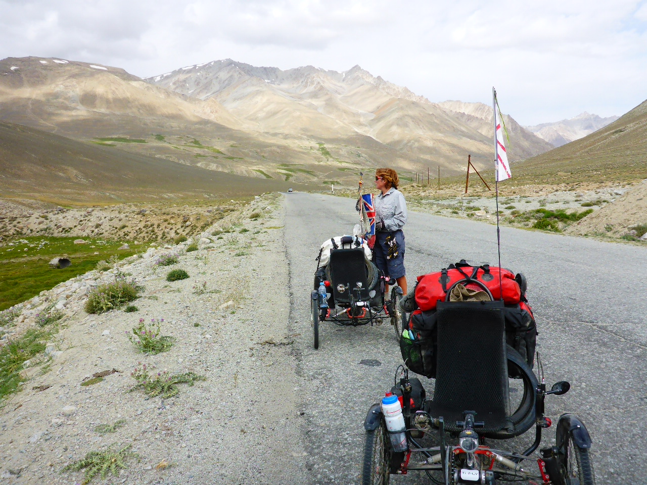
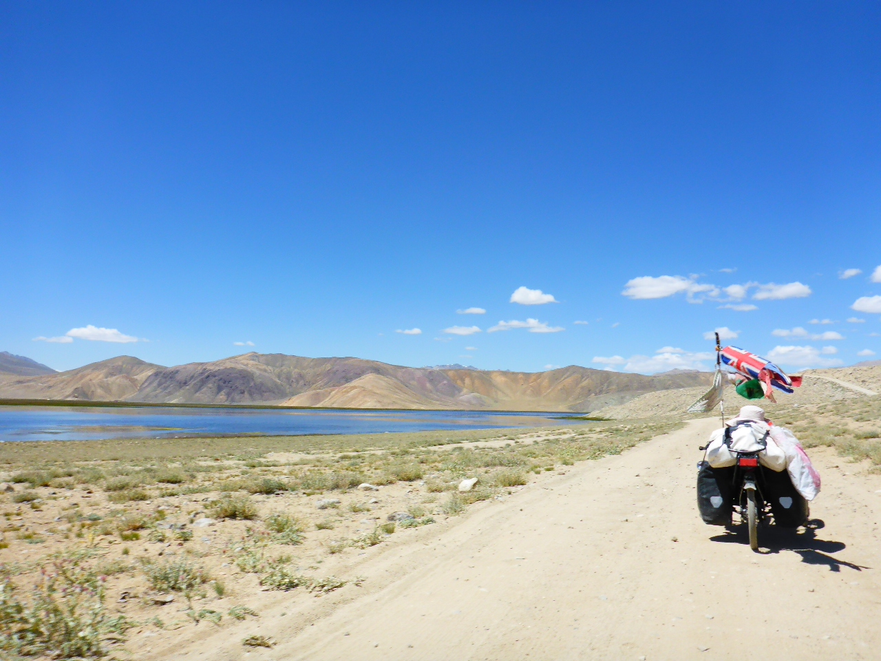
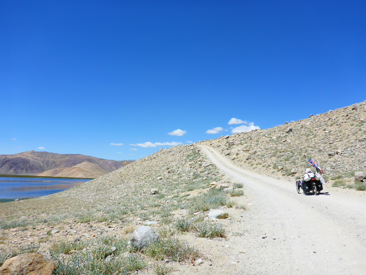
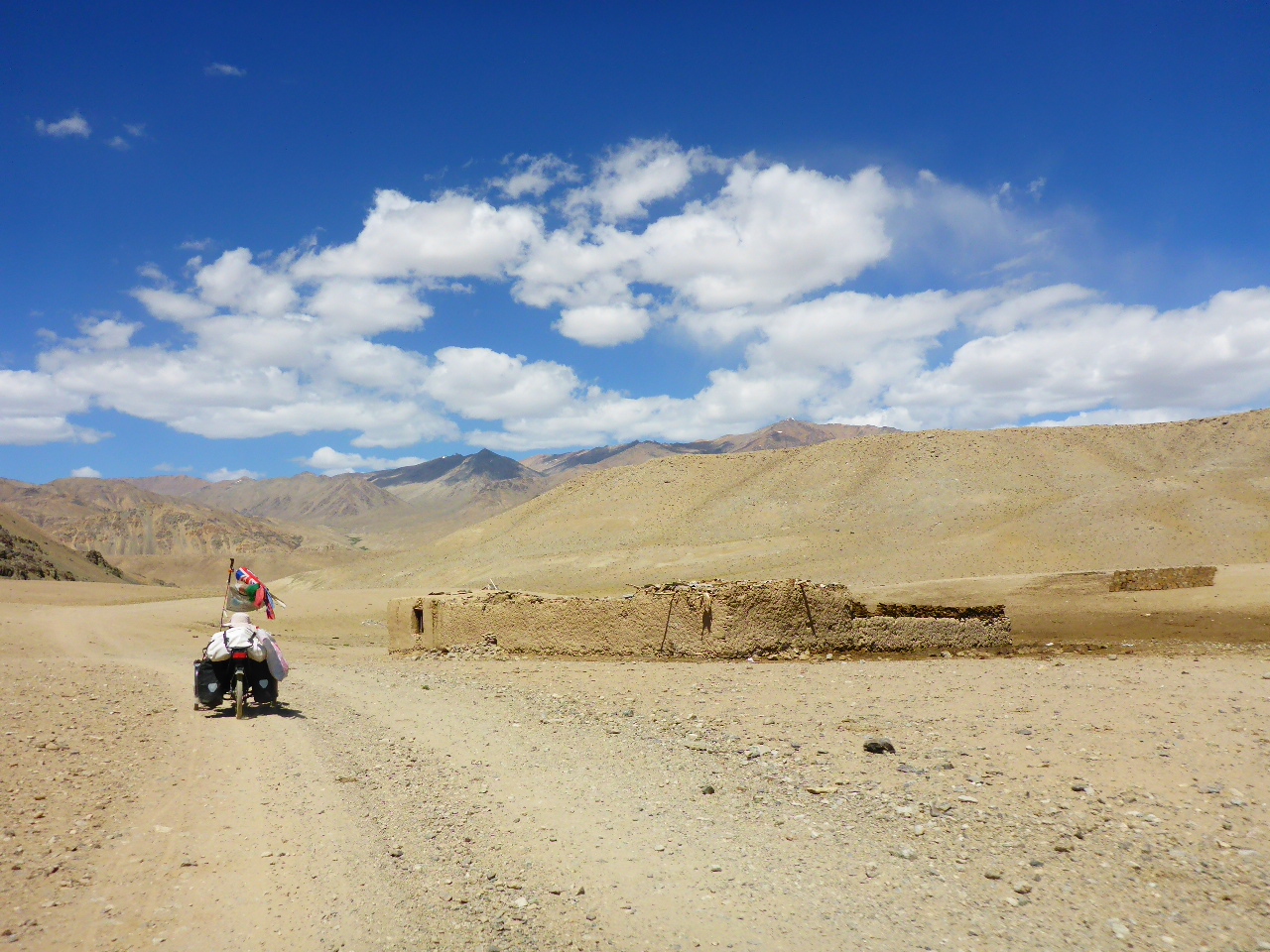
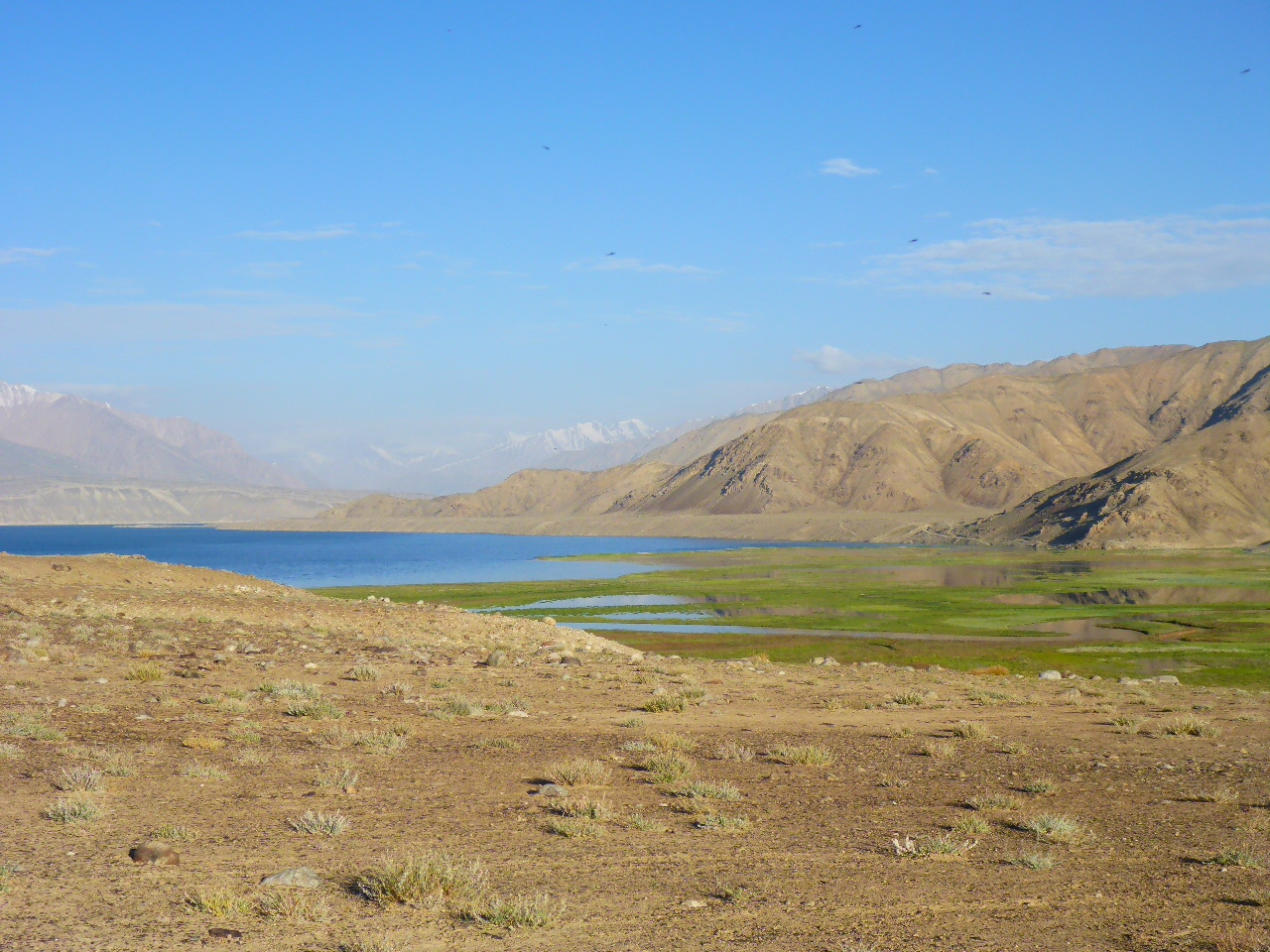
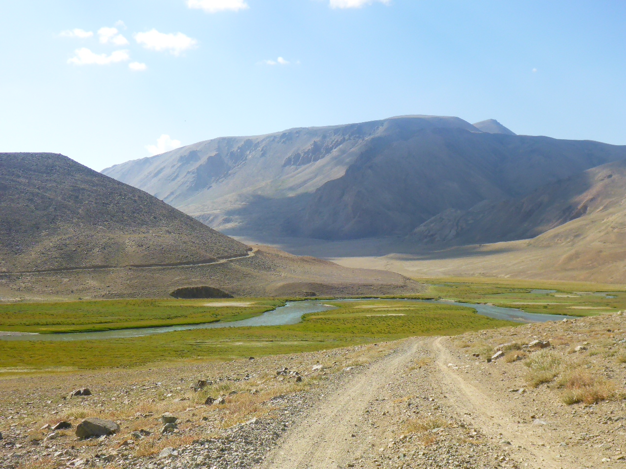
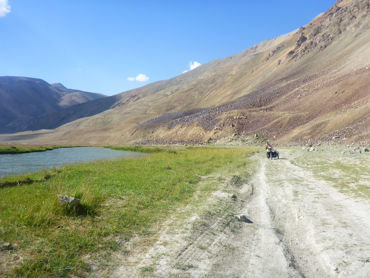
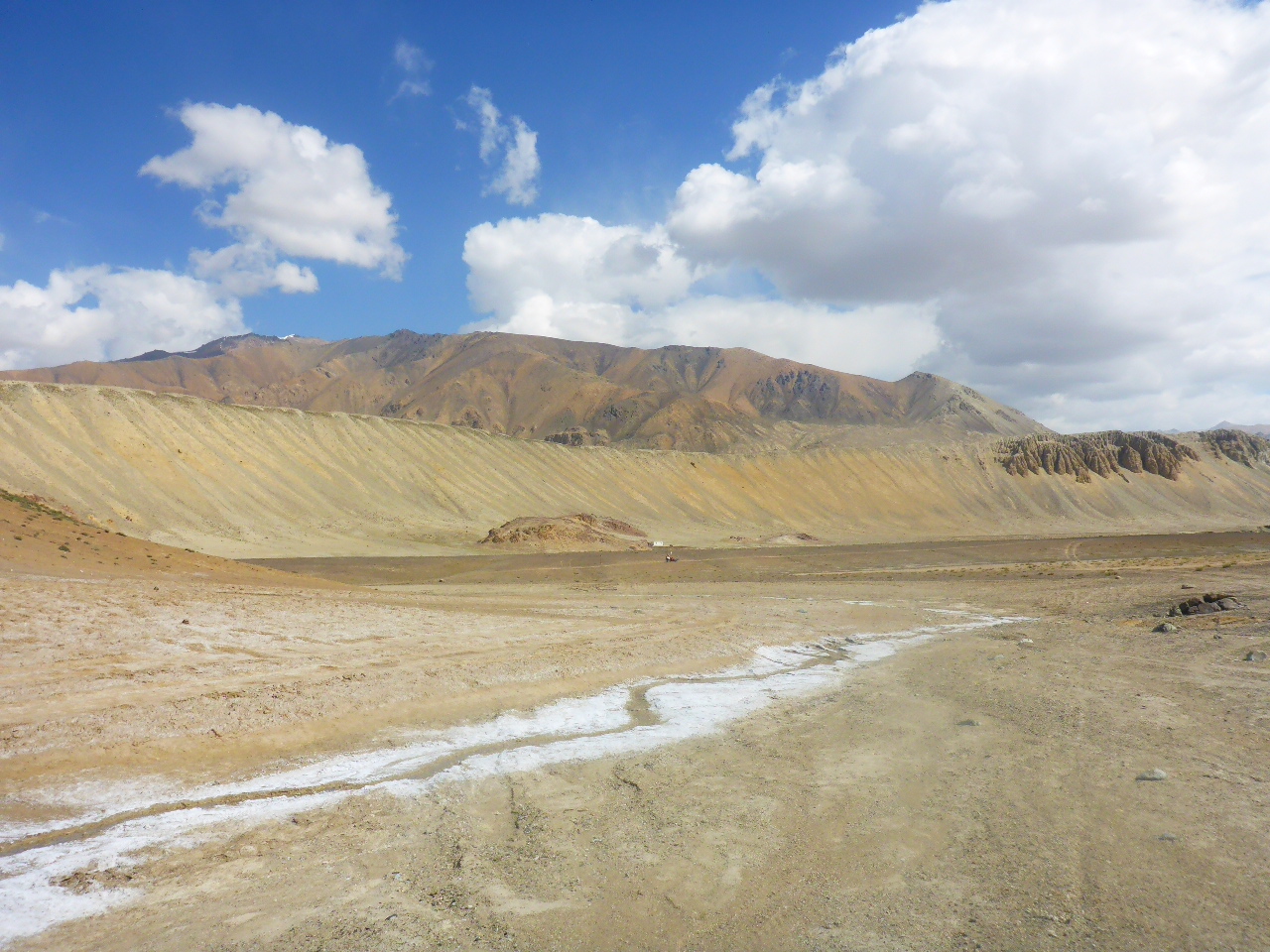
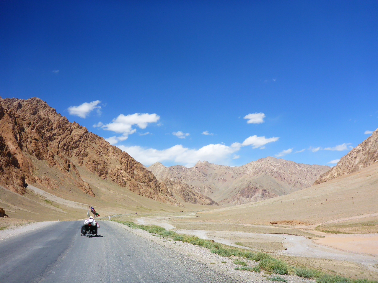
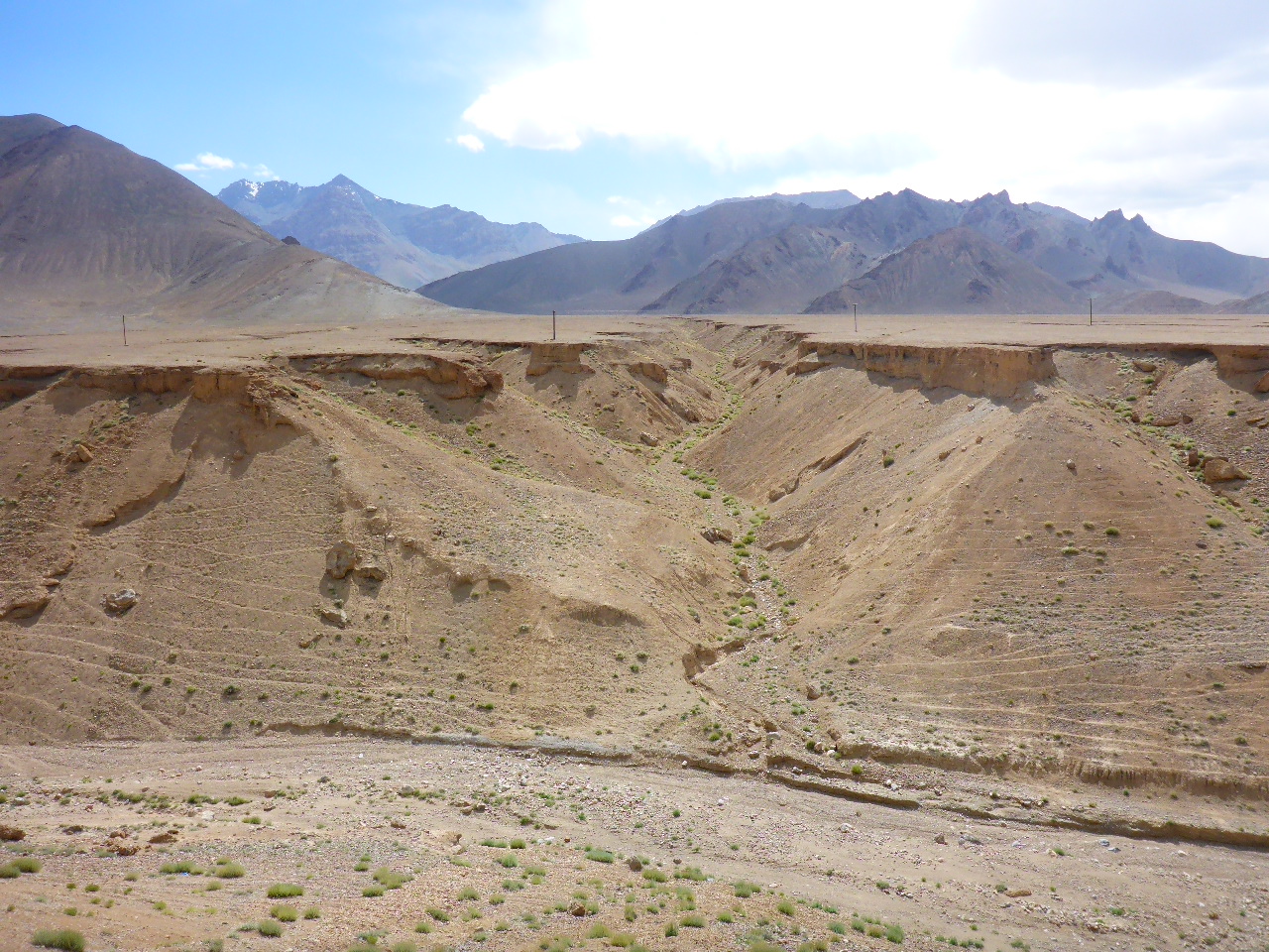
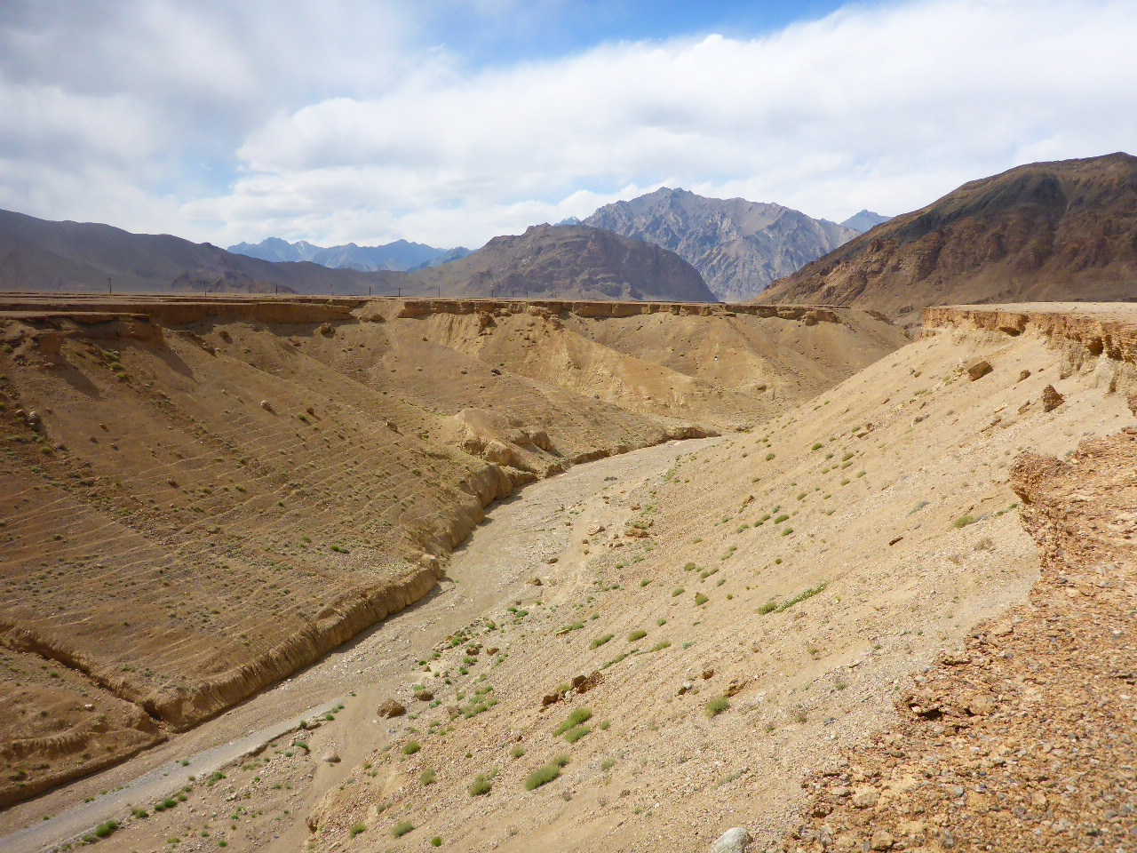
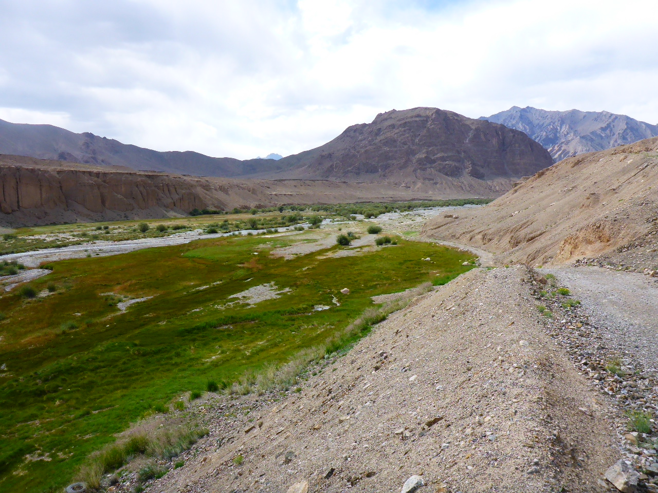
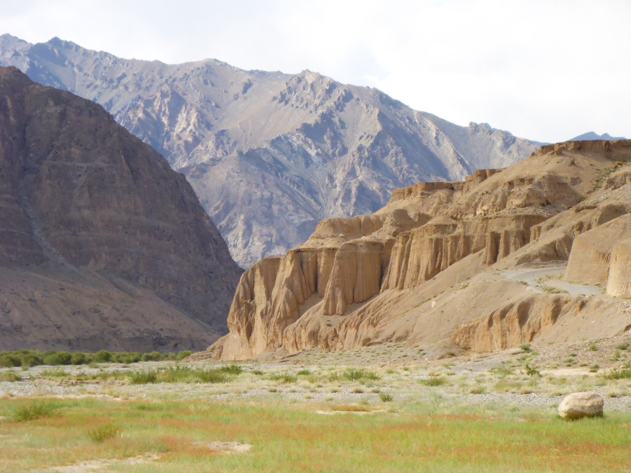
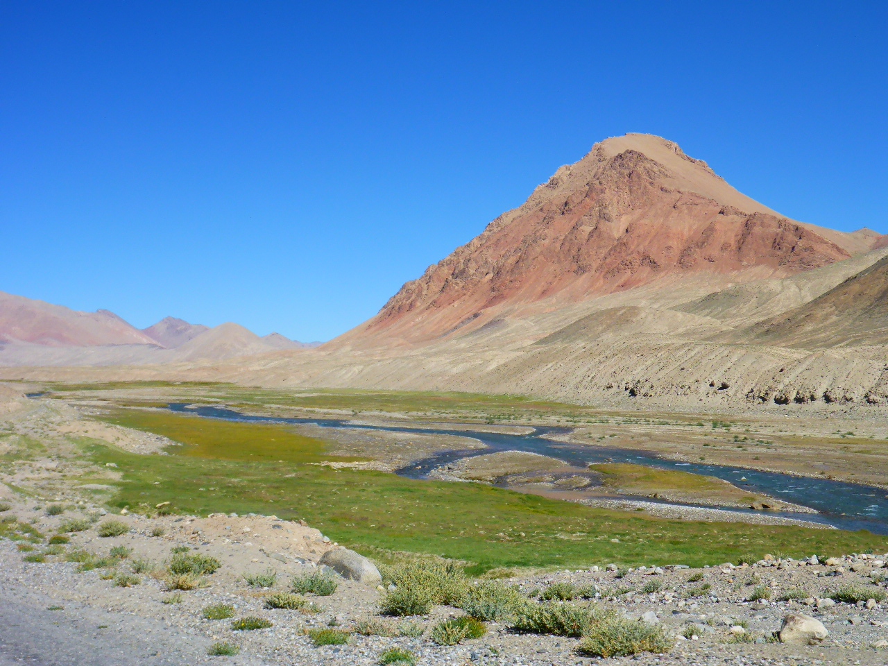
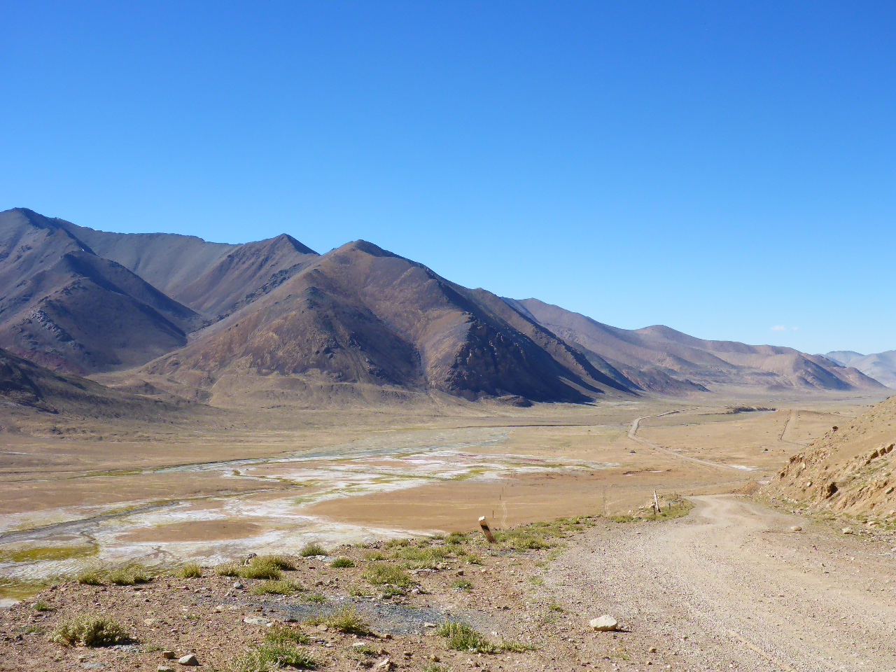
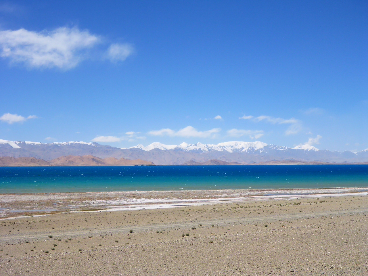
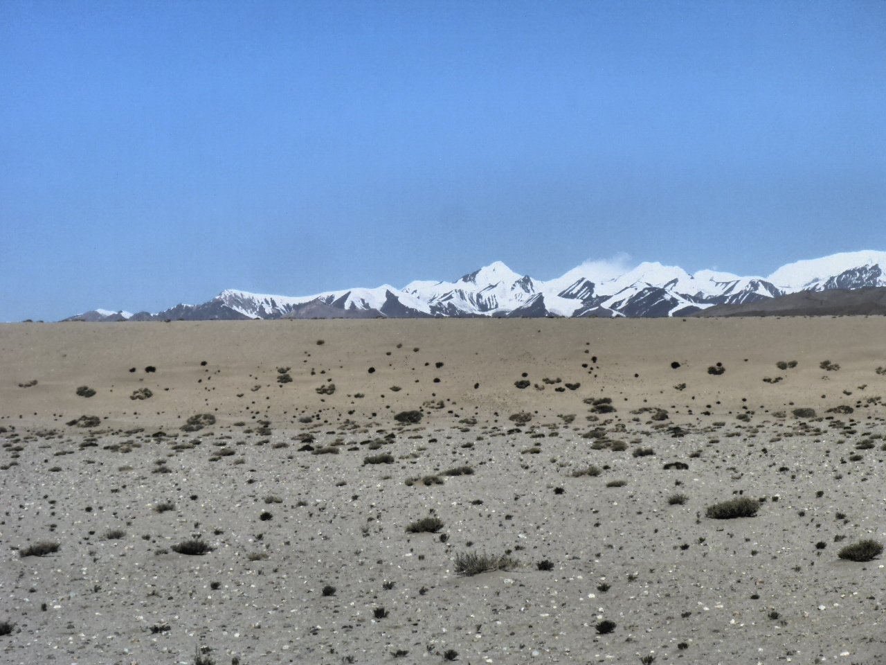
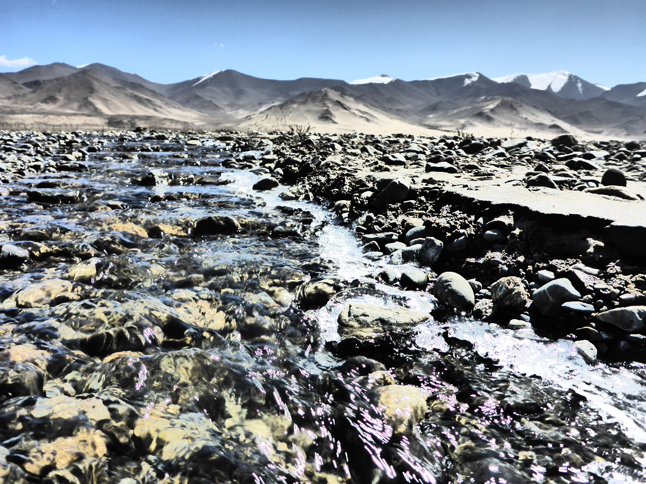
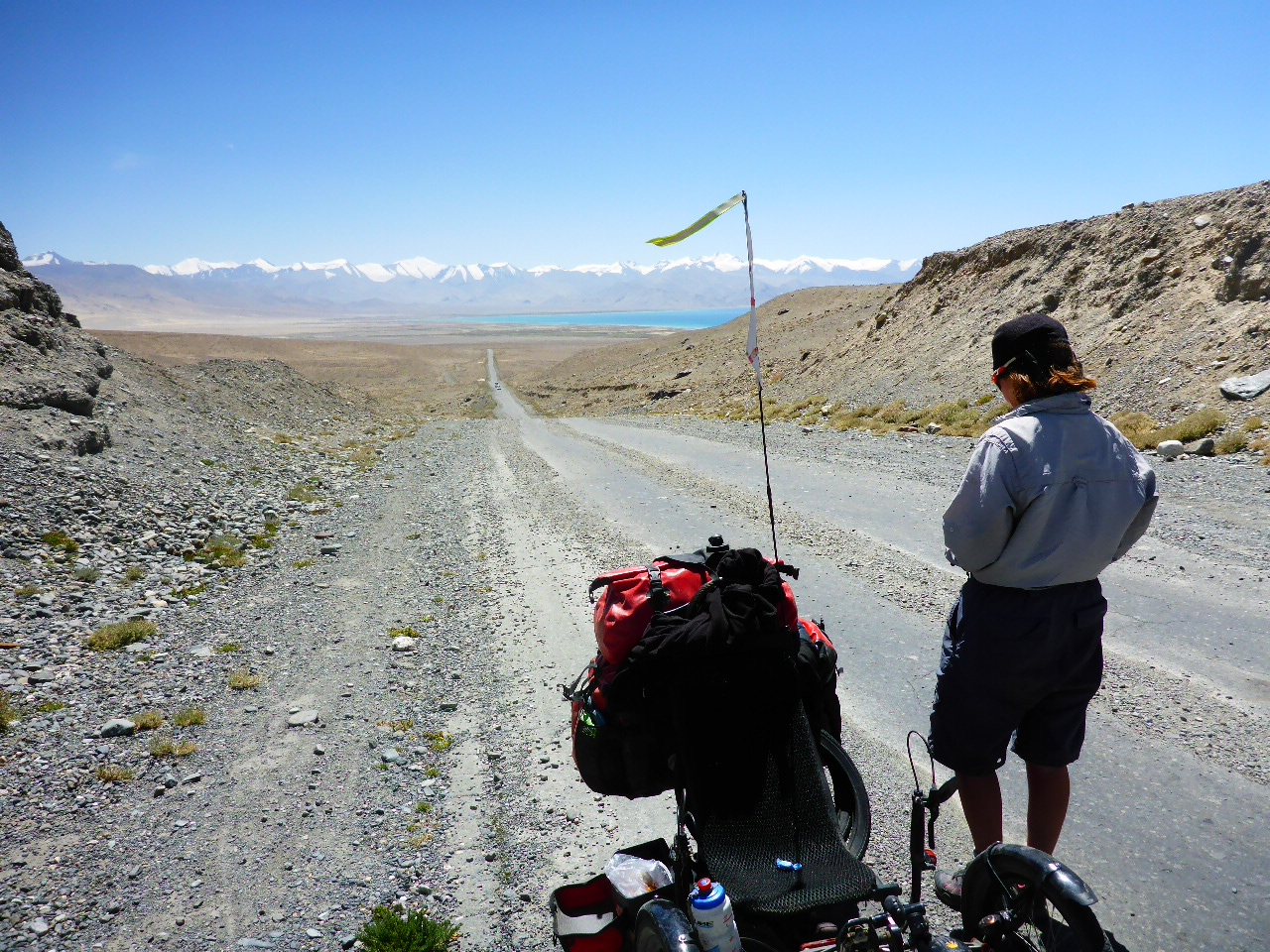
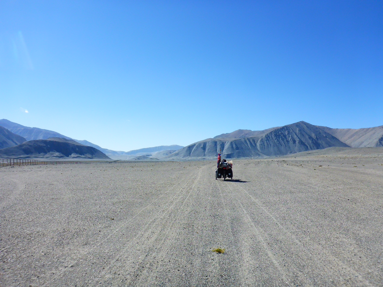
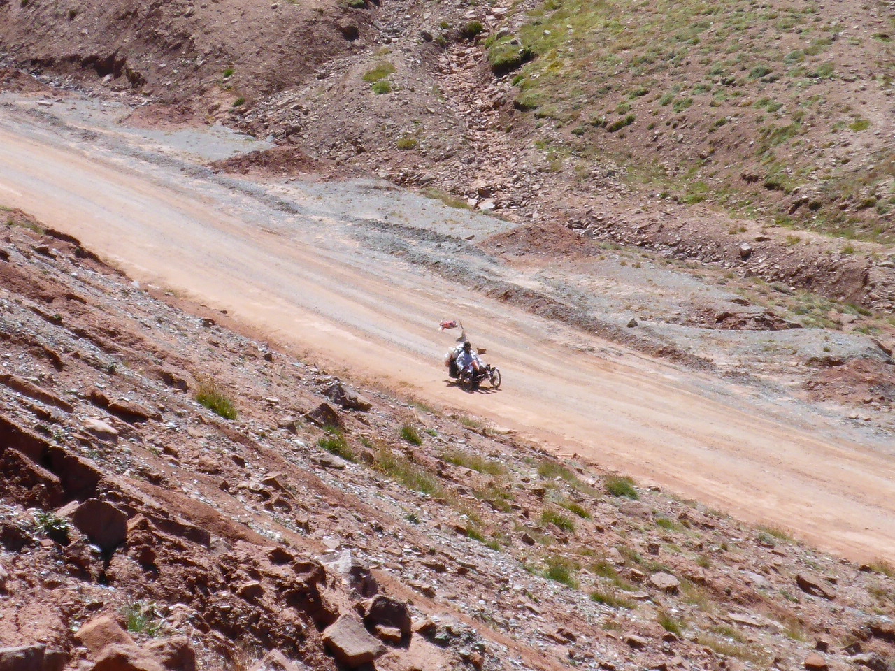
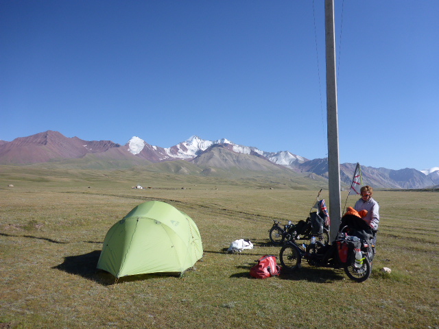
Today the river we’ve been following turns from a dirty grey to an incredibly enticing azure. It’s been relatively placid in its wide valley but today it’s forced into several narrow gorges so we sit and watch the rapids. Over the gorge there’s a rickety bridge made by branches woven over the 3 supporting wires – video time! I’m waiting for the branches to crack and for Daz to plummet into the white water and I’ll have a clip for ‘You’ve been framed’. Fortunately (???) the bridge holds.
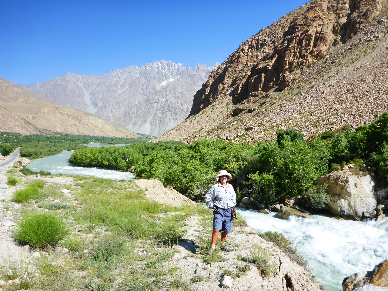
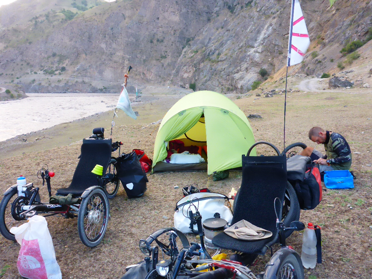
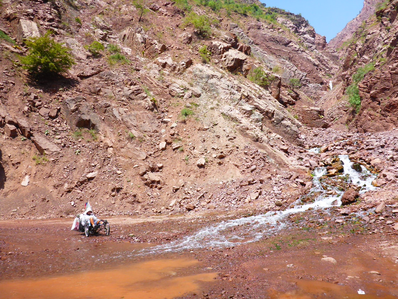
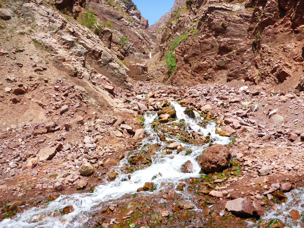
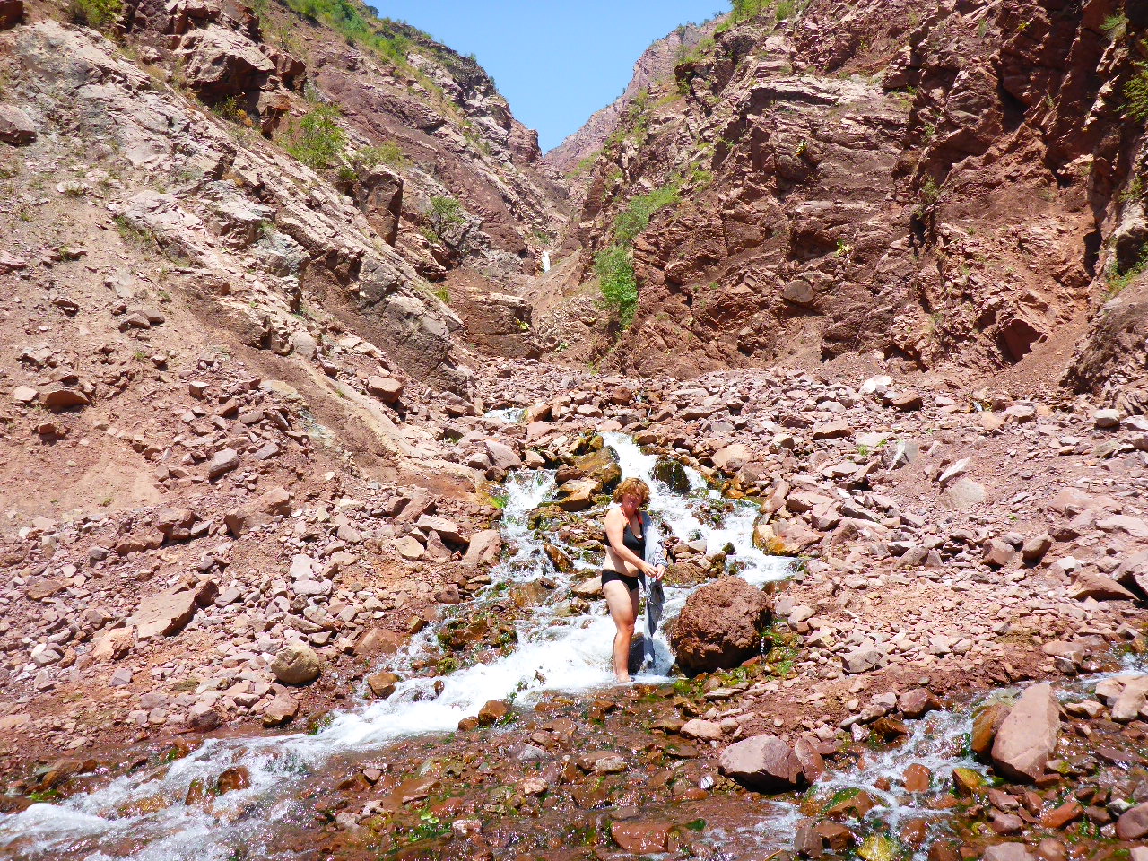
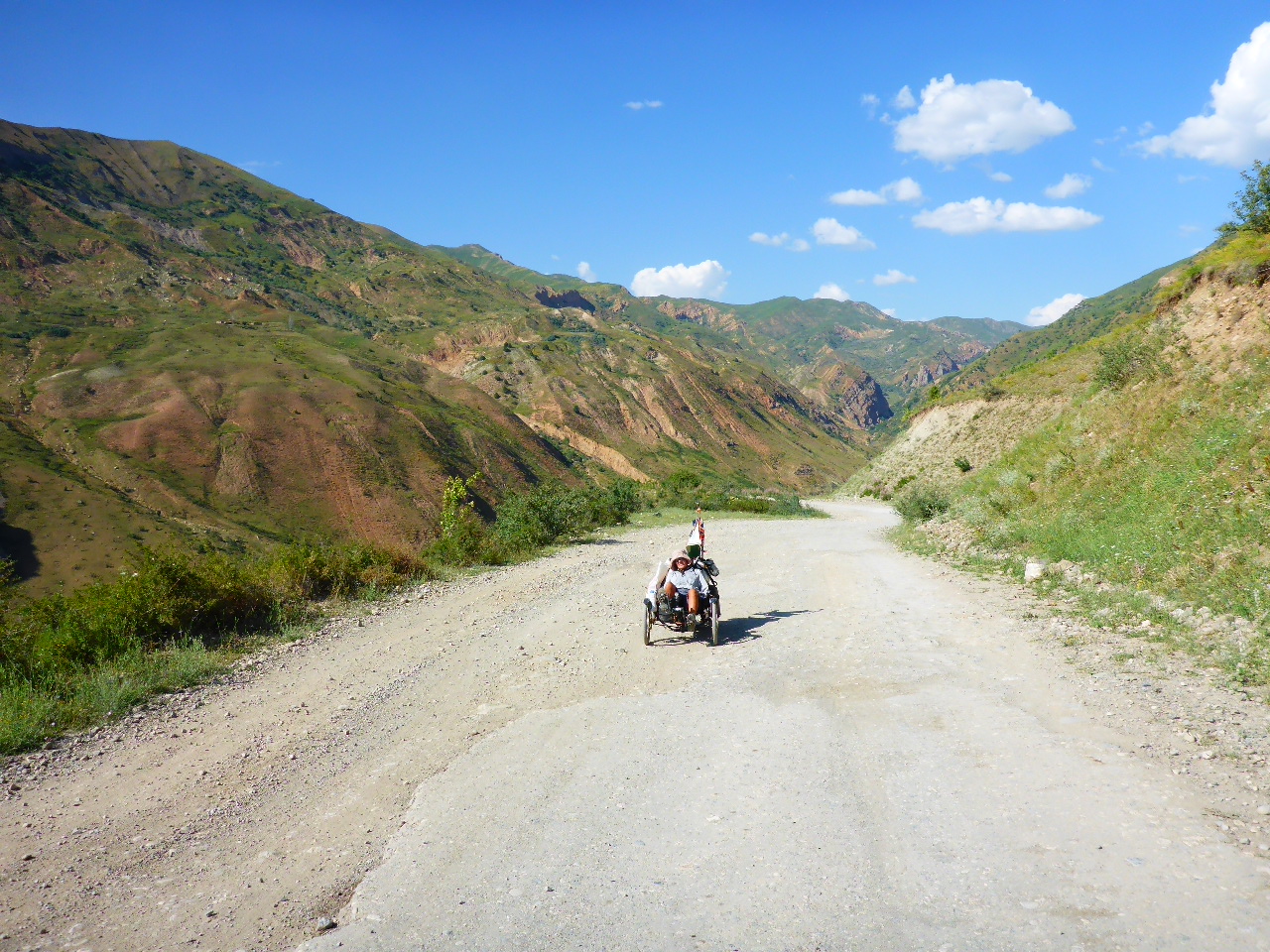
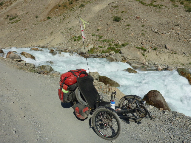
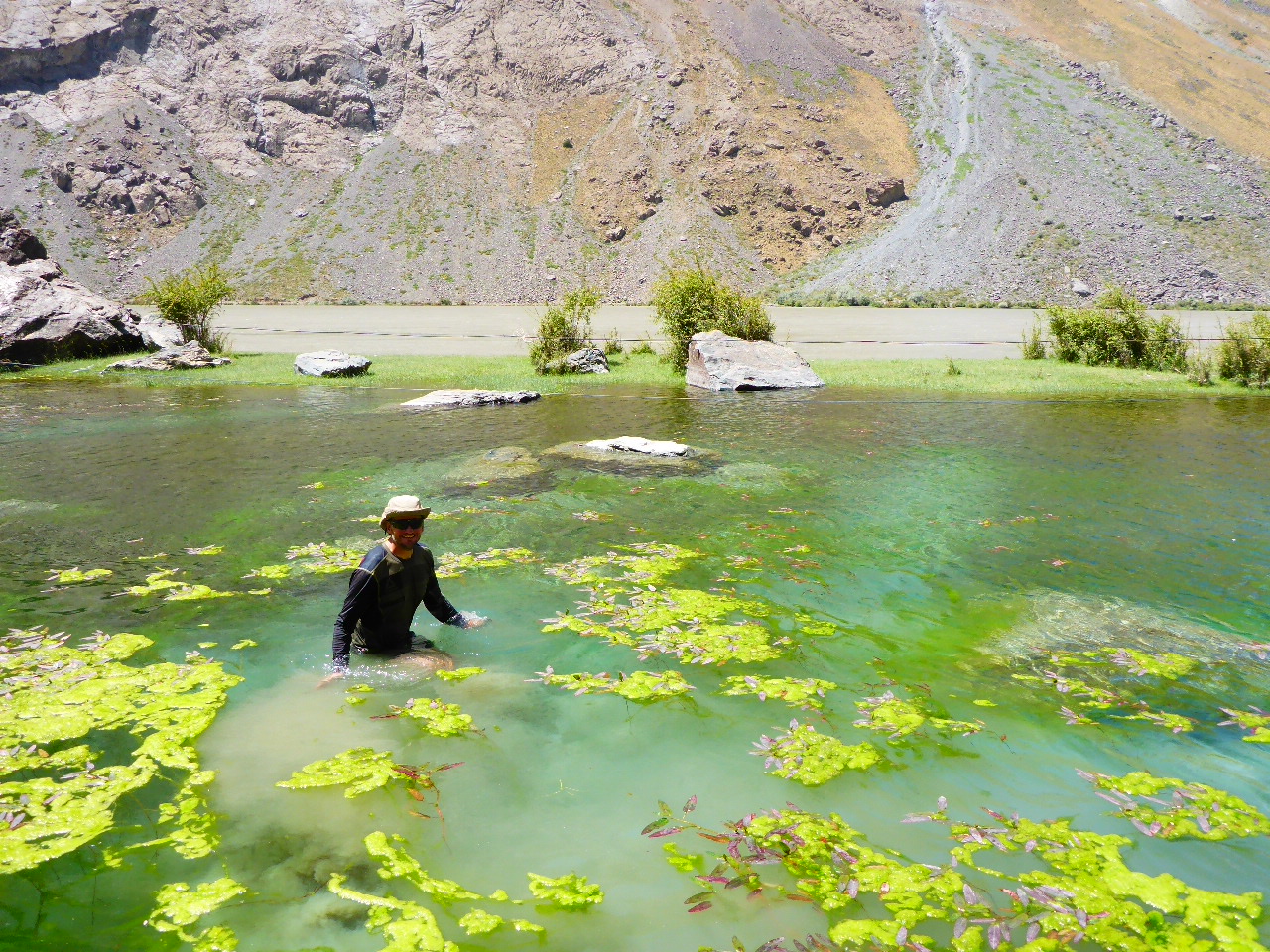
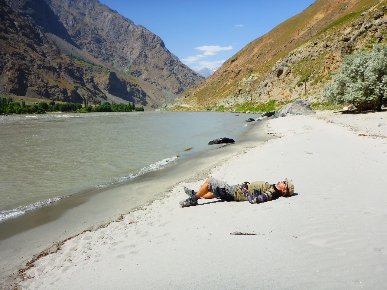
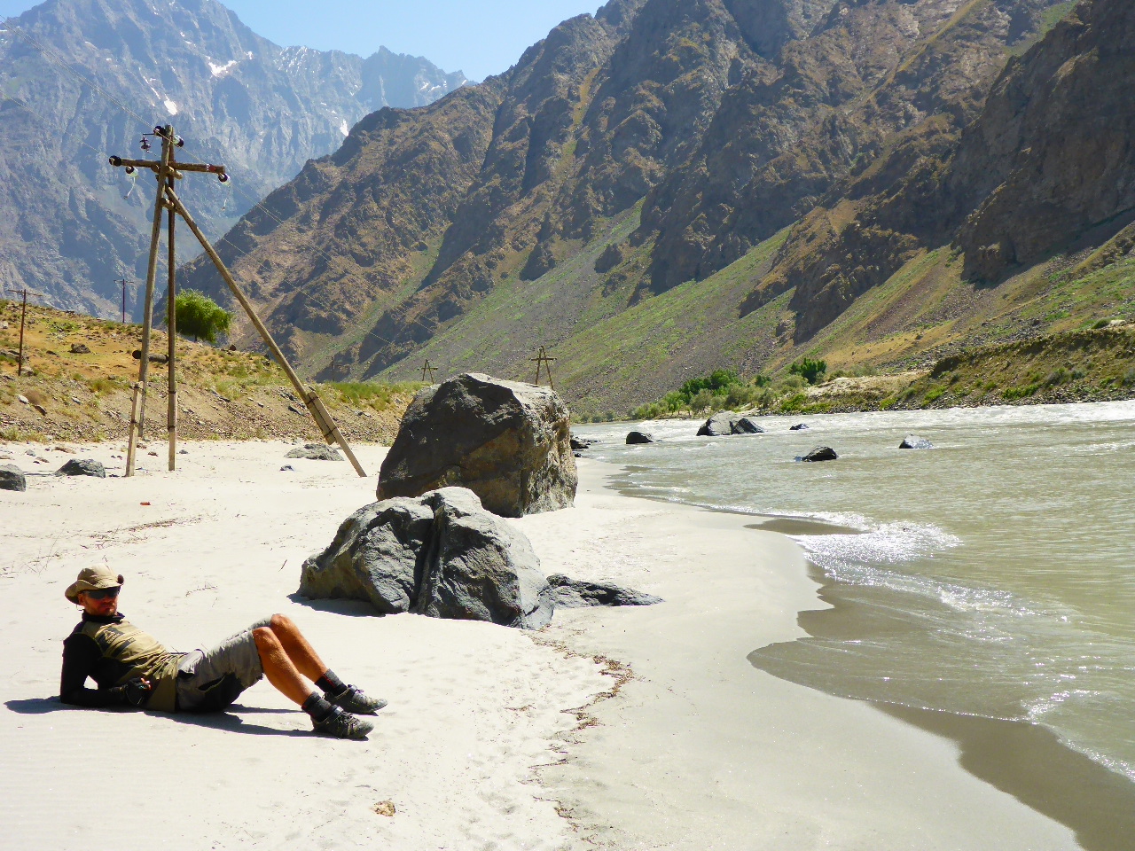
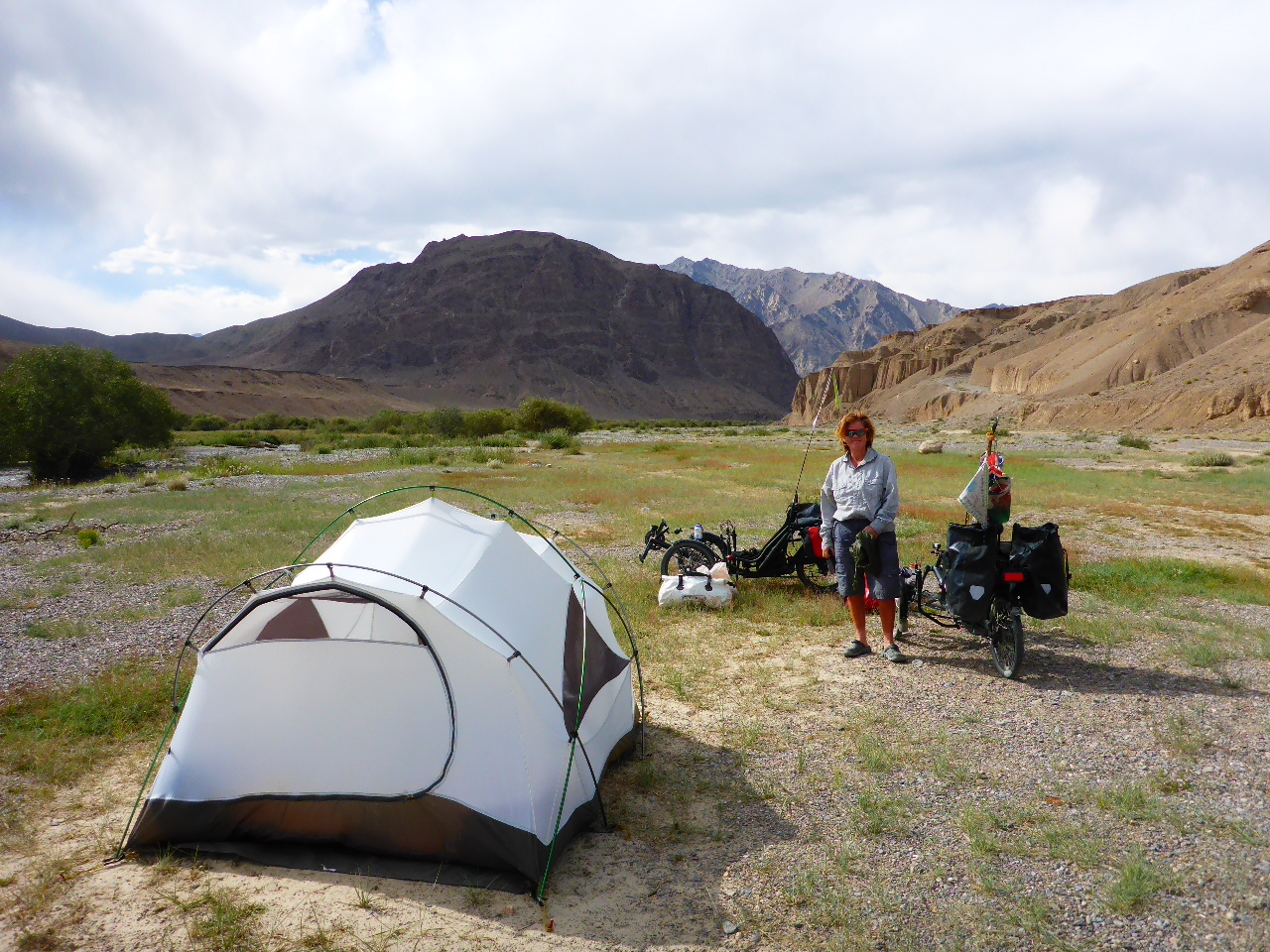
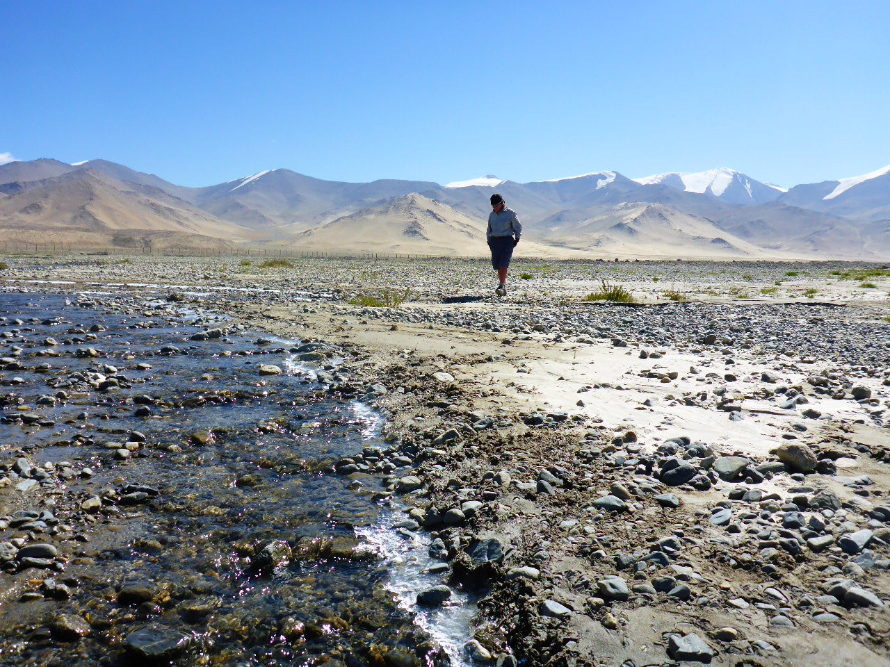
There’s quite a lot of hills today and a scarcity of shops. We pass a restaurant without bothering to stop and soon regret our impulsiveness. We stop in the next hamlet ( about 2 hours later) and ask some locals at the side of the road if they have any bread. Fortunately one pootles off and comes back with a big round flat bread and it’s peanut butter and jam butties for lunch. Soon after we decide to stop for the day when we spot a nice camping spot by the river. First challenge – a dip in the river.
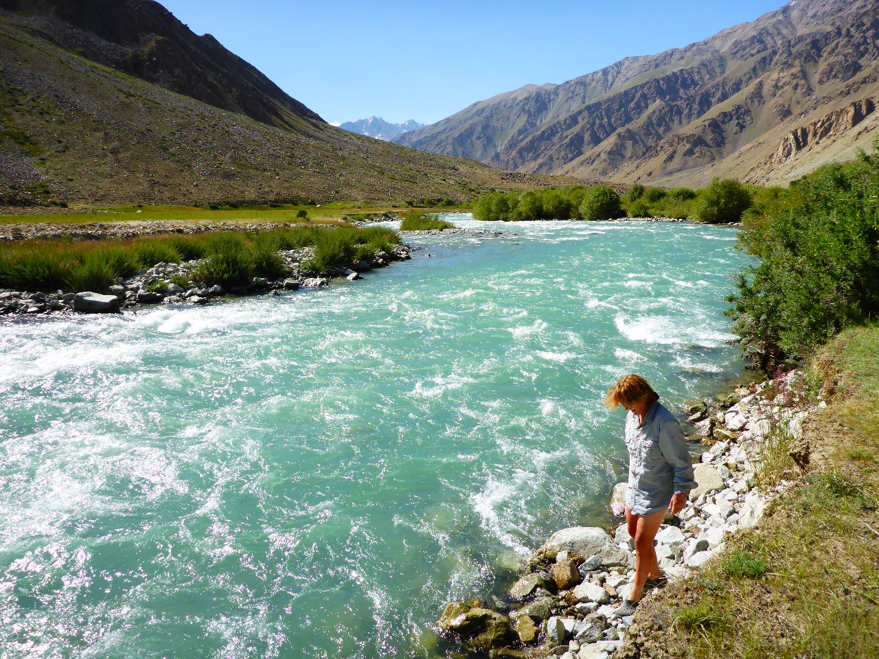
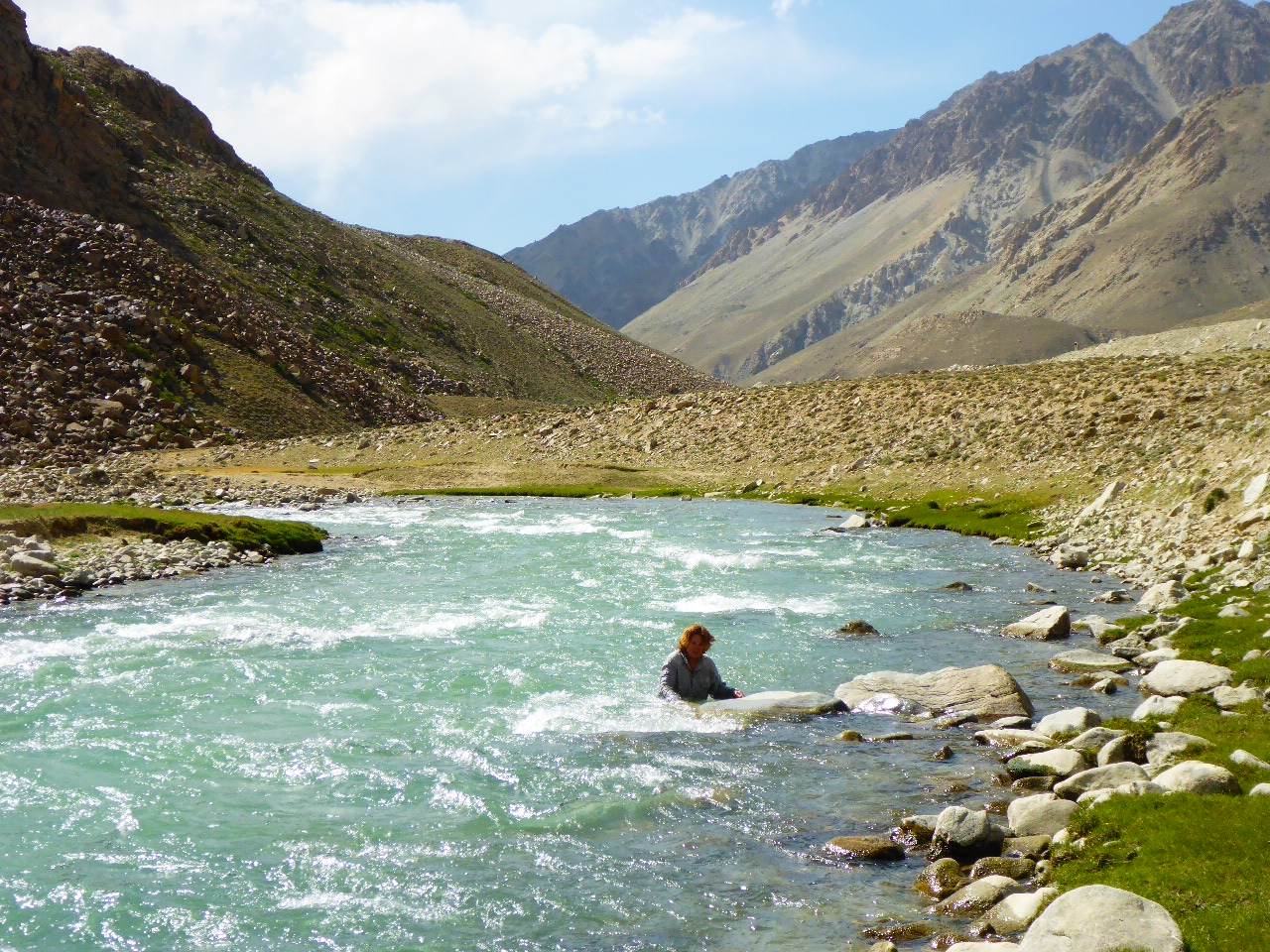
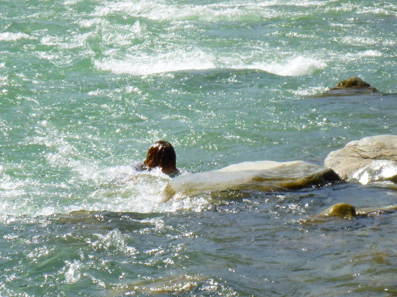
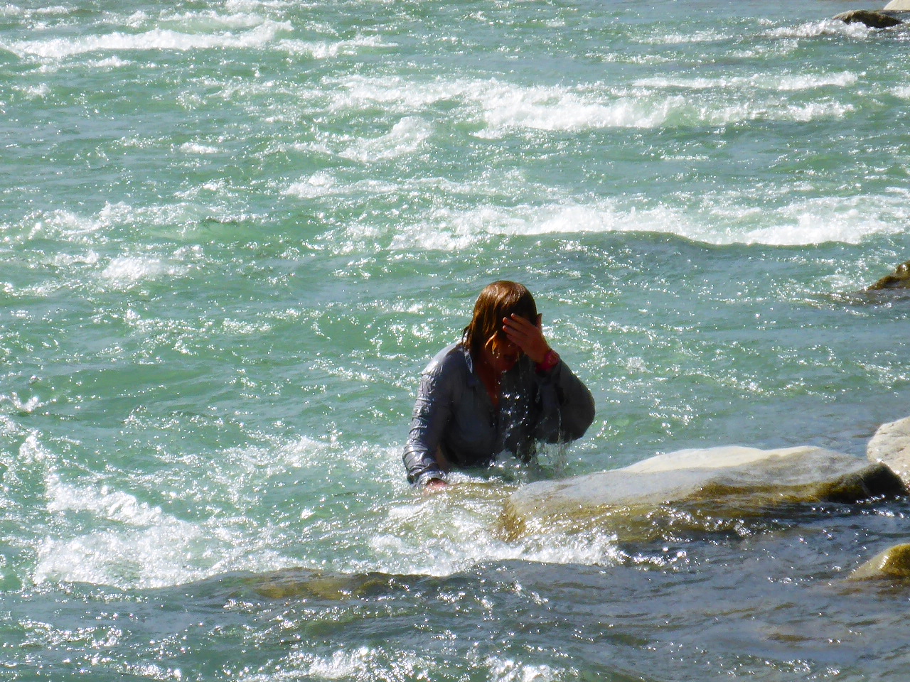
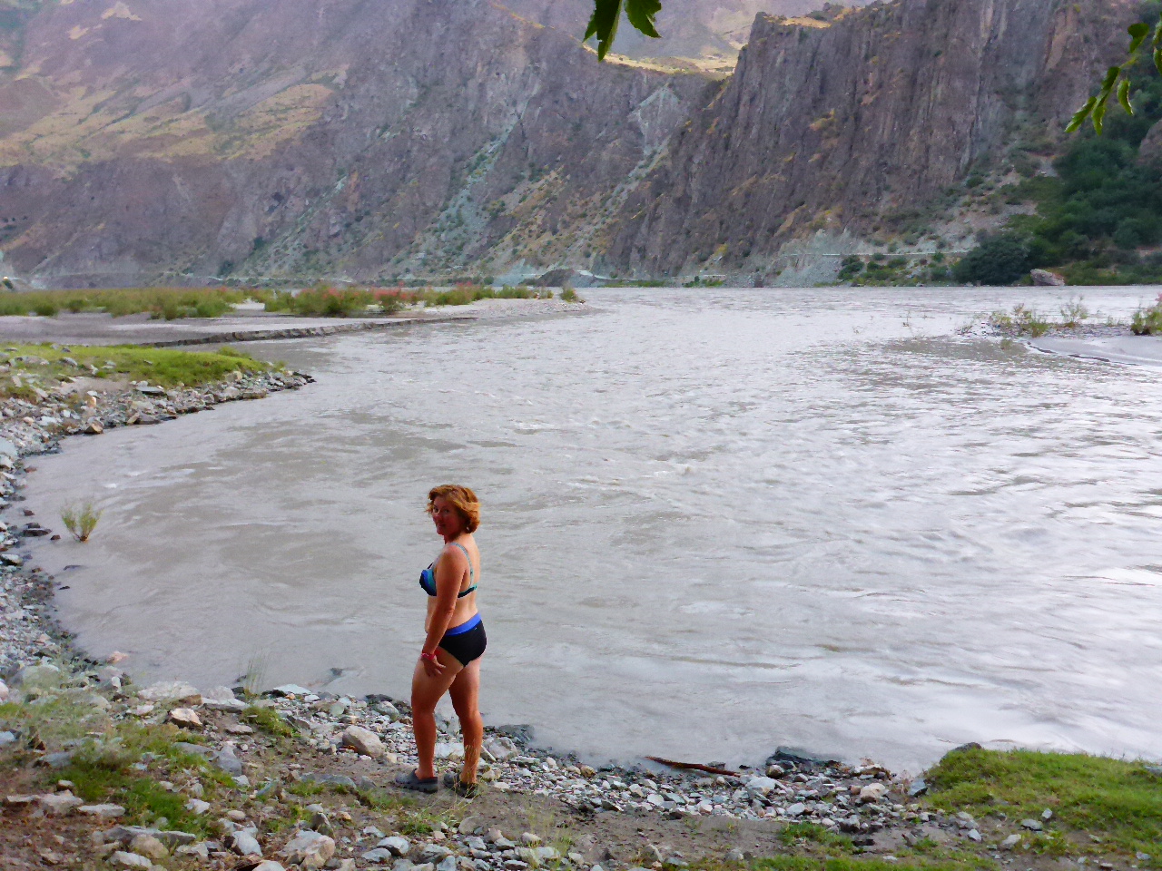
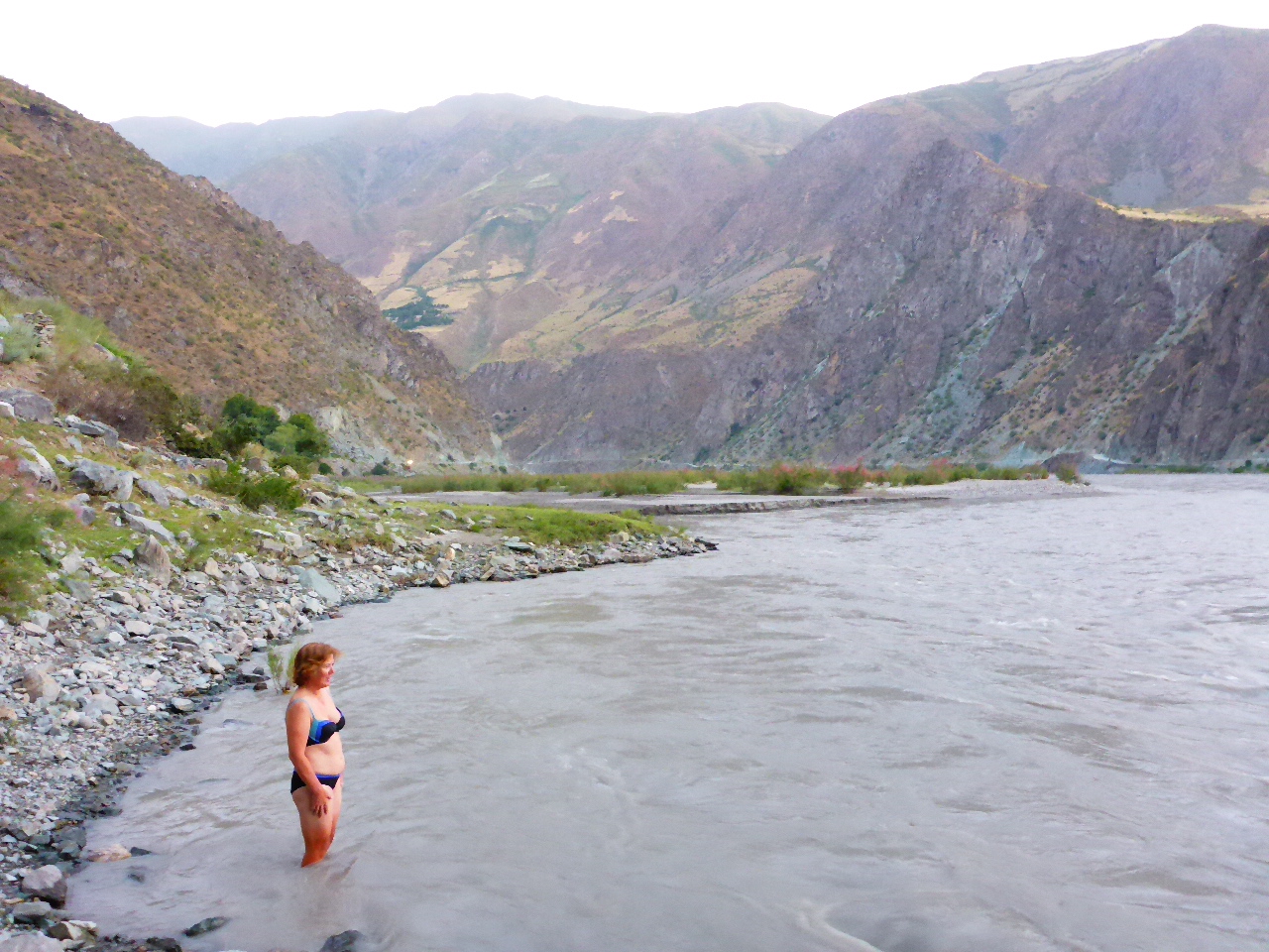
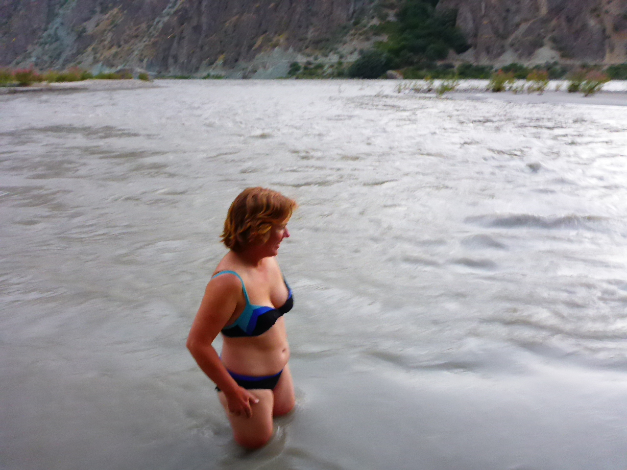
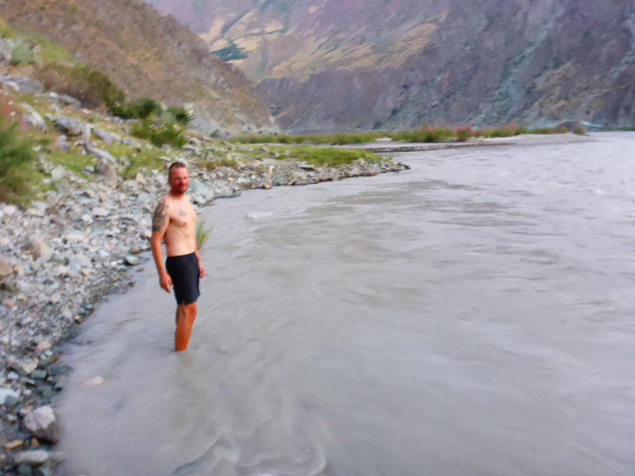
It’s bloody freezing but there’s also a wicked current so an actual swim is out of the question. So we settle for a refreshing dip and wash in the shallows before setting up our campsite.
Highest Altitude – 3318 metres
Monday 7th August – Kuighan-tugai to 10km beyond Jelodny
Distance: 24.52 km
Total Distance: 15827 km
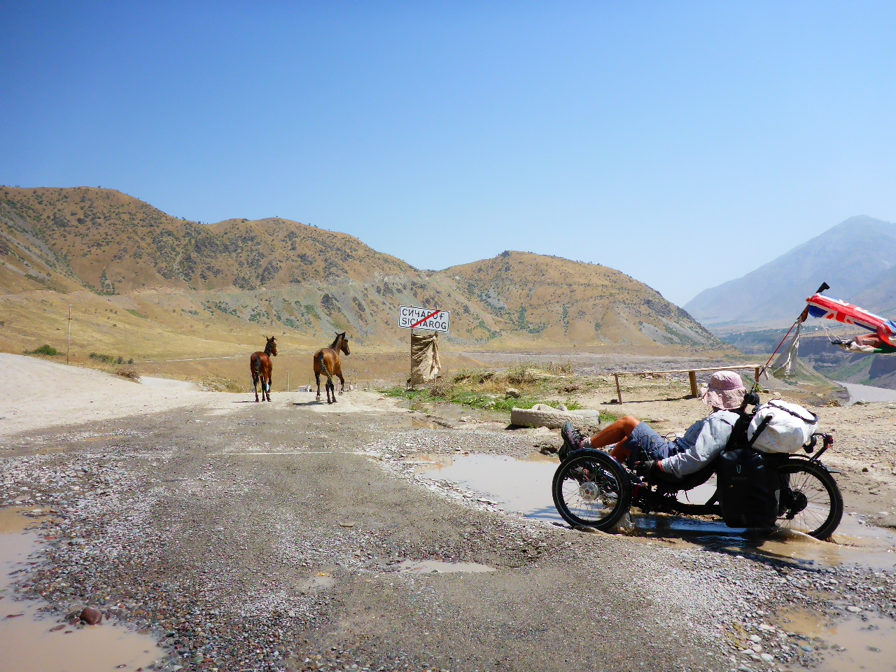
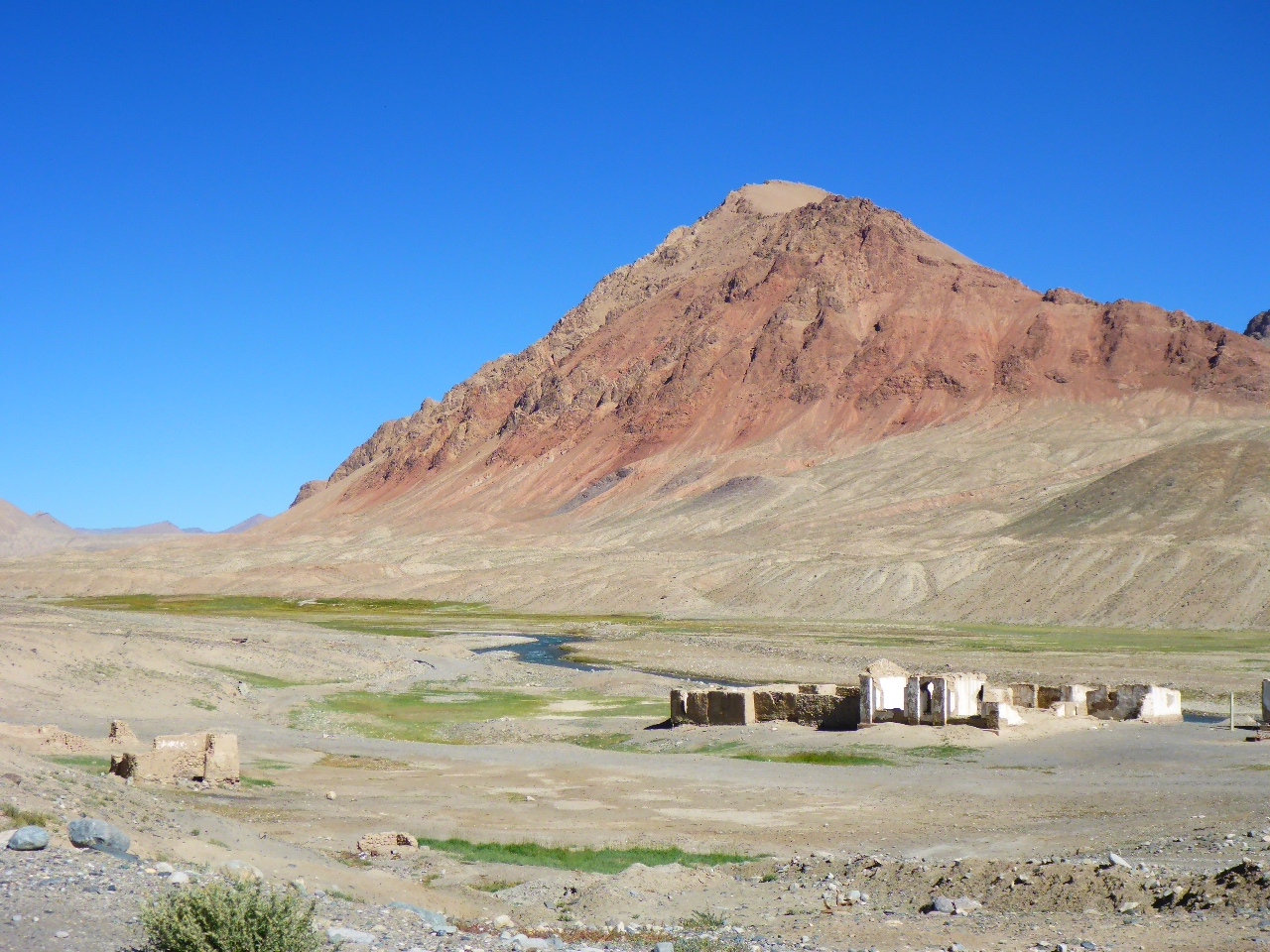
Bugger bugger bugger. We had such high hopes for Jelodny but we manage to miss the restaurant / sanatorium / hotel. We asked about 10 people and received 10 different answers. When we work out where we should have been we’re already a couple of kilometers away and can’t summon the motivation to retrace our steps! Instead we buy some more provisions and head up the pass.
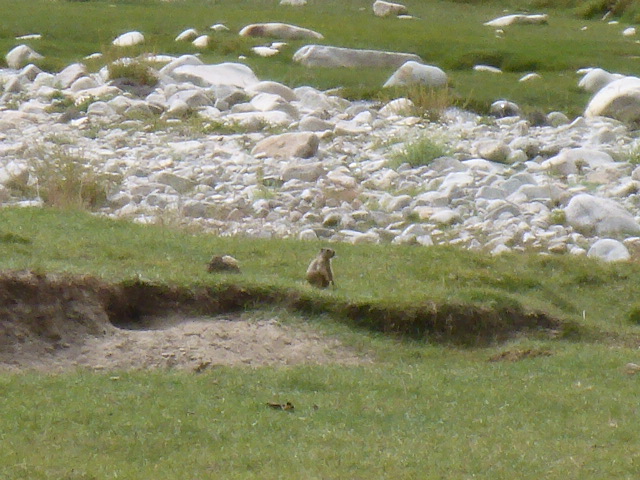
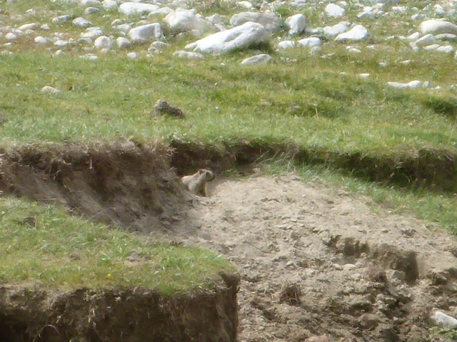
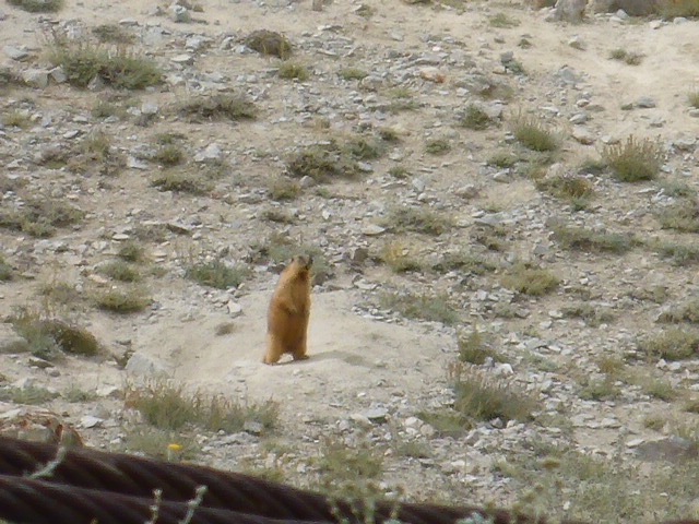
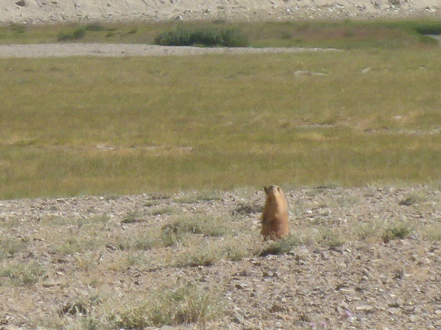
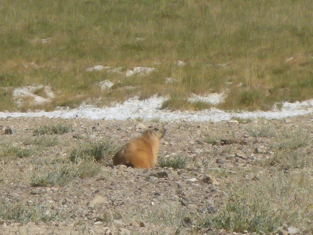
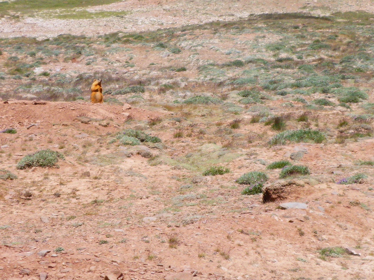
We spot a beautiful green, flat area by the river and decide to stop for the day. It’s early but we’re trying to capture pictures of a large burrowing creature the size of a cat. We spotted it by the river and then it scarpered to its den. I’ve laid egg shells by its burrow to entice it into the open again!
Tuesday 8th August – 10km beyond Jelodny to 17km beyond Koitezek Pass
Distance: 35.42 km
Total Distance: 15862.42 km
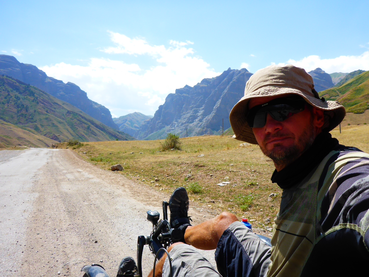
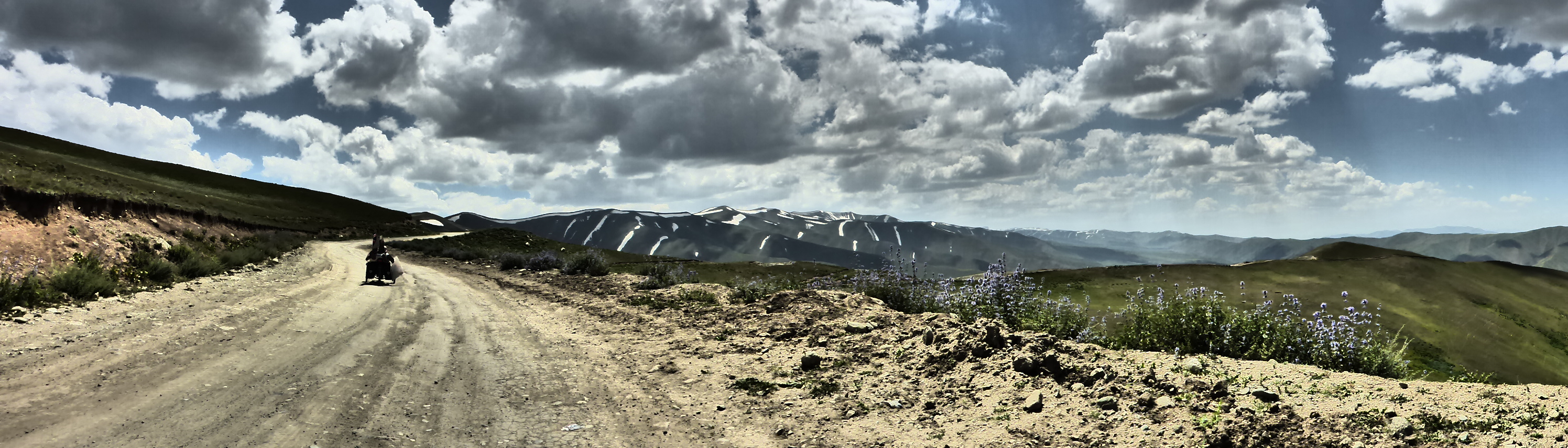
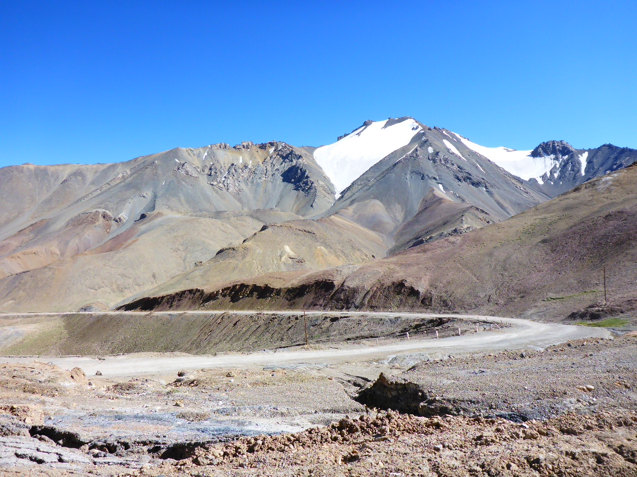
Today we struggle up to Koitezek Pass at 4271m. Our first 4000 metre plus pass, whoop!! A tough climb and there’s black cloud over the top but fortunately there’s only a few spots of rain.
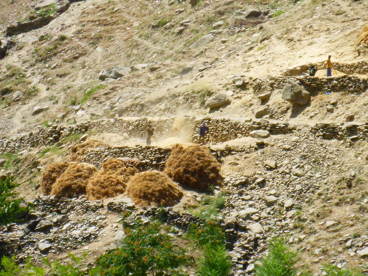
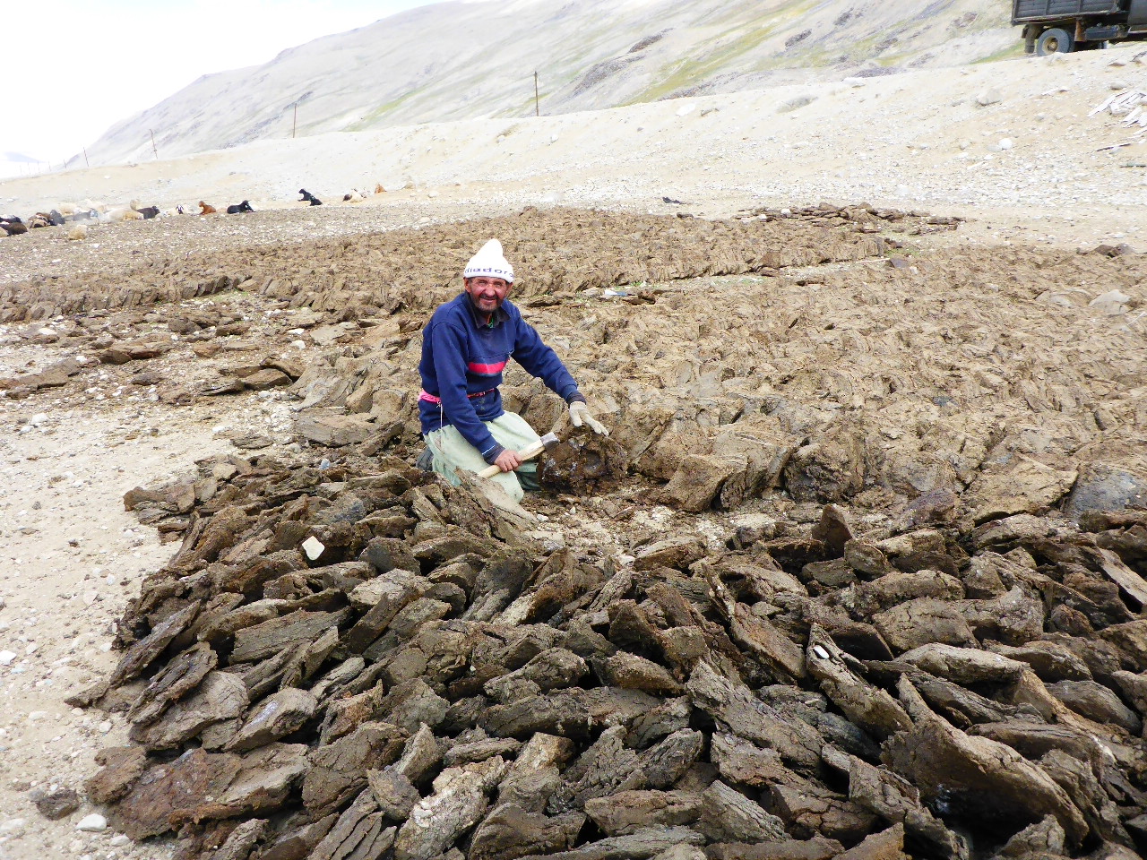
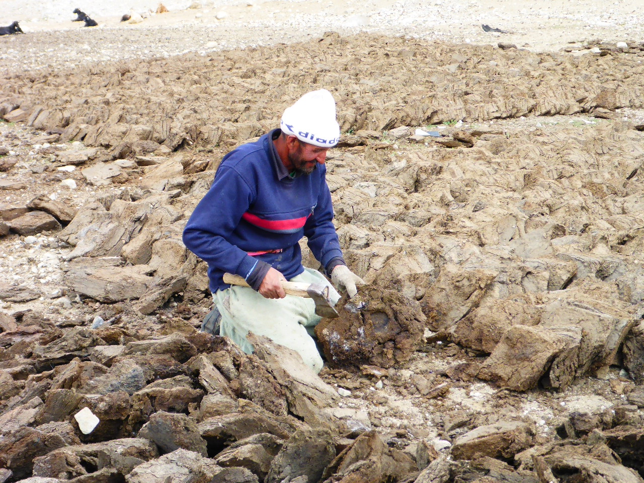
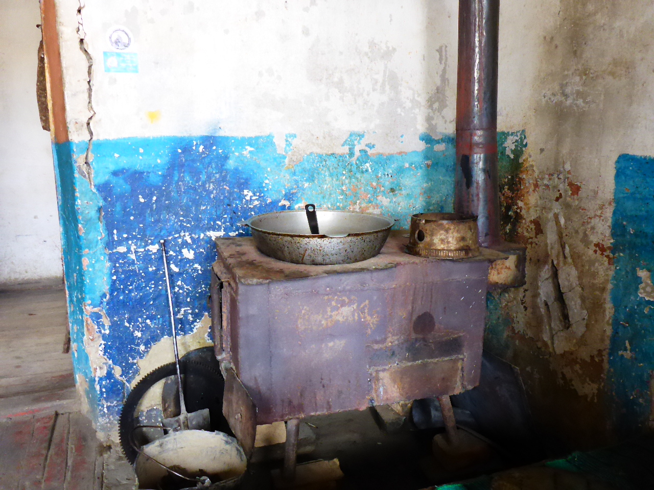
A couple of kilometers after the pass there’s a house so we stop for tea and a bite to eat. It’s lamb stew – not my favourite but we’re starving and this is easier than breaking out our cooking equipment. There’s a guy working outside, we thought he was slicing peat into manageable pieces for the stove but it’s not peat it’s animal dung and he’s splitting the large lumps so it dries in the sun. Maybe dung burning is why it’s so smelly indoors.
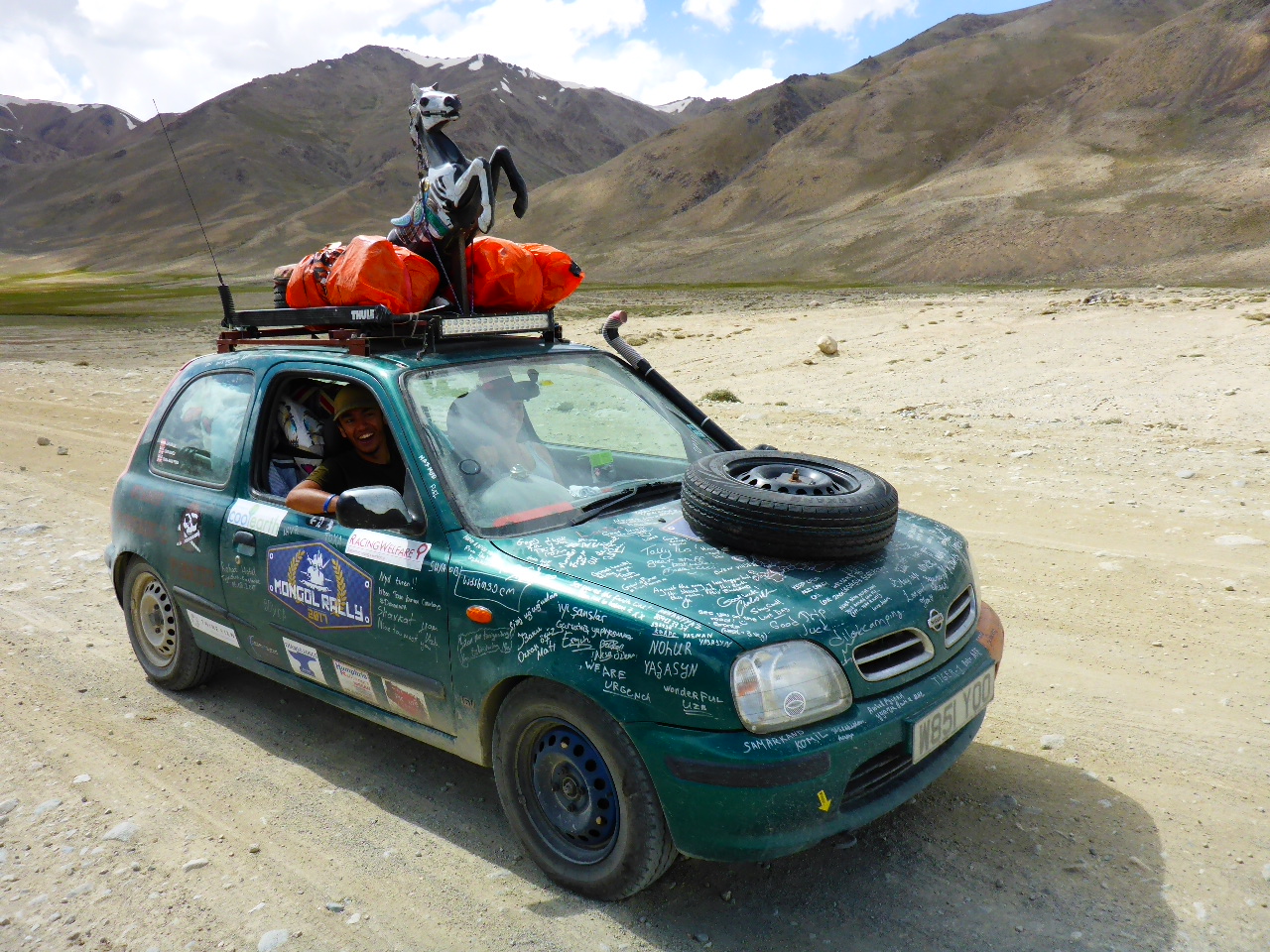
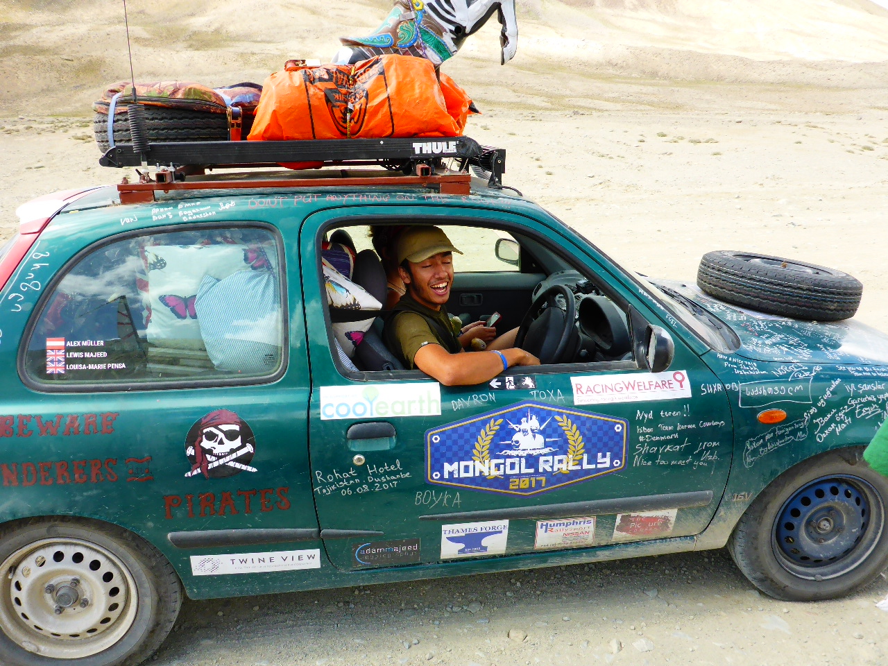
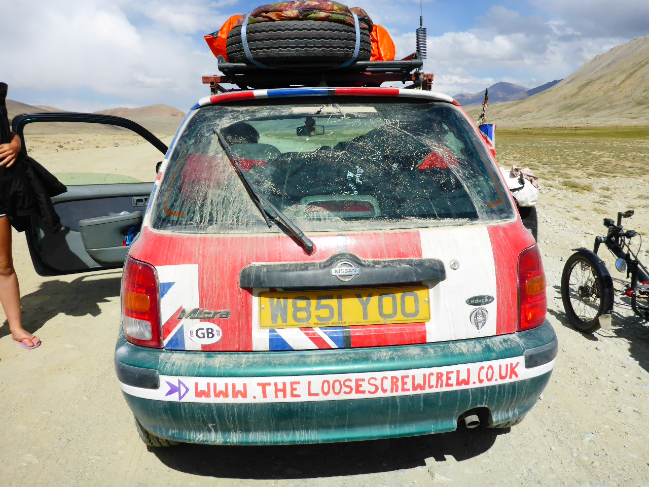
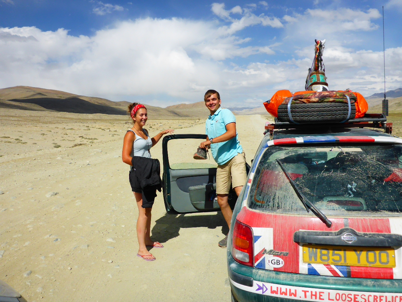
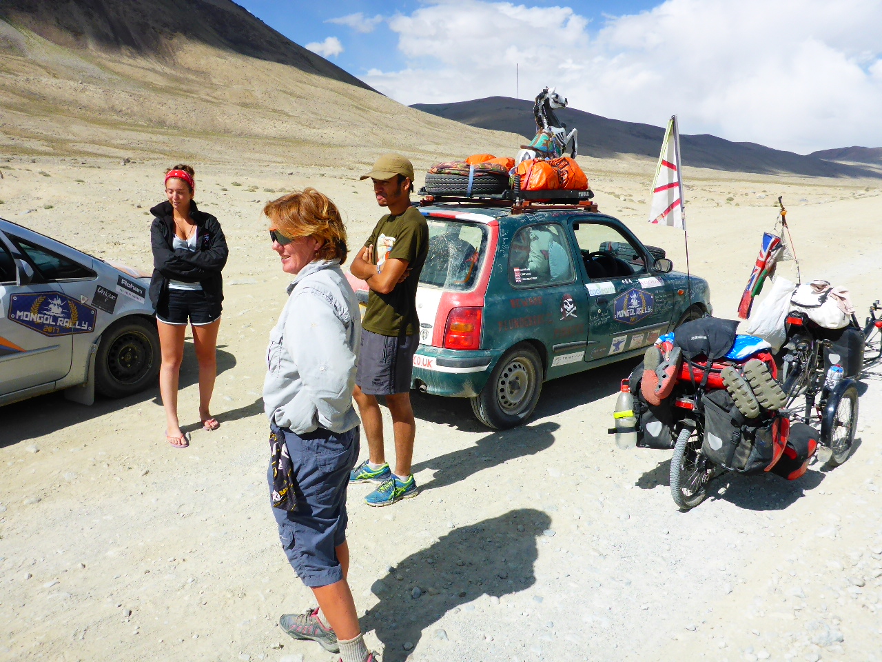
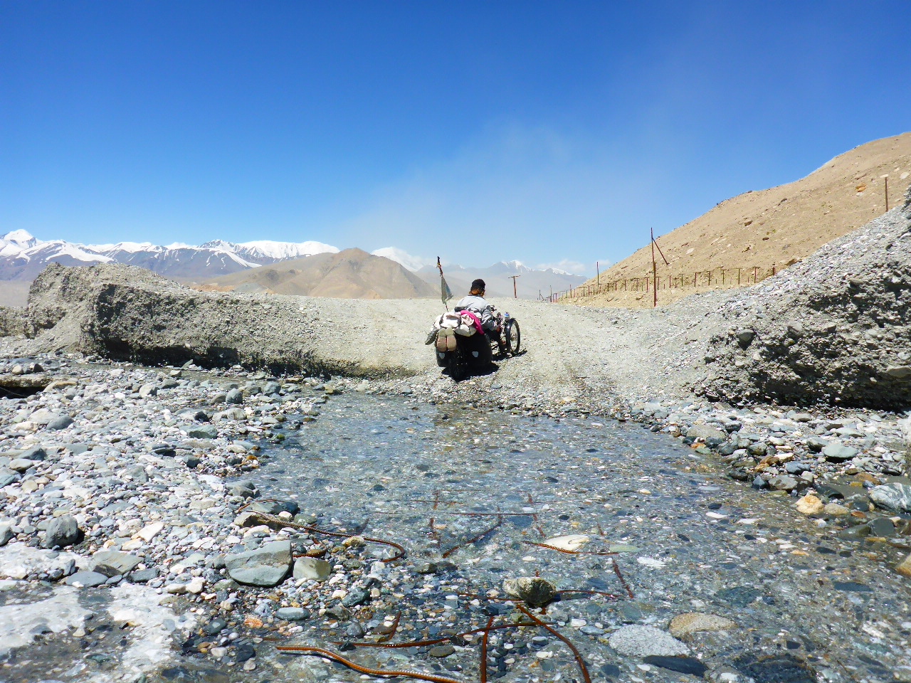
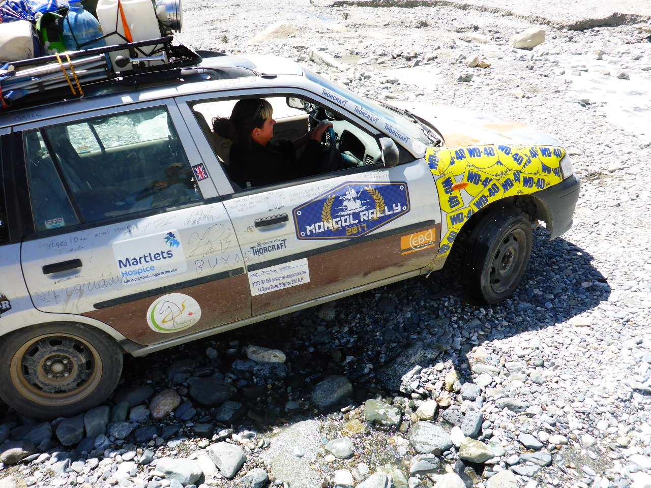
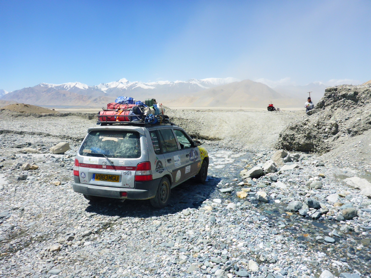
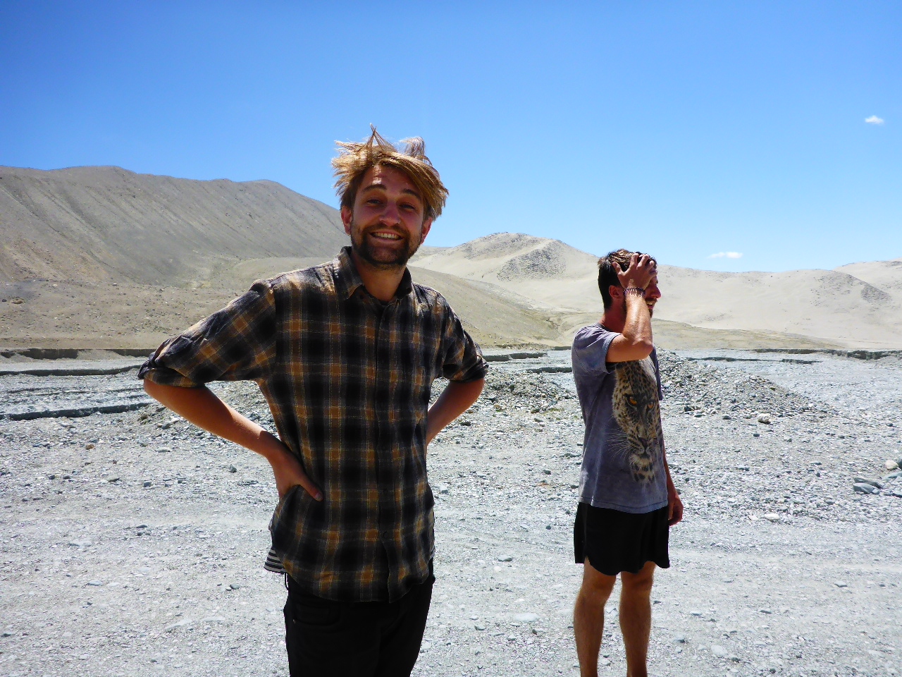
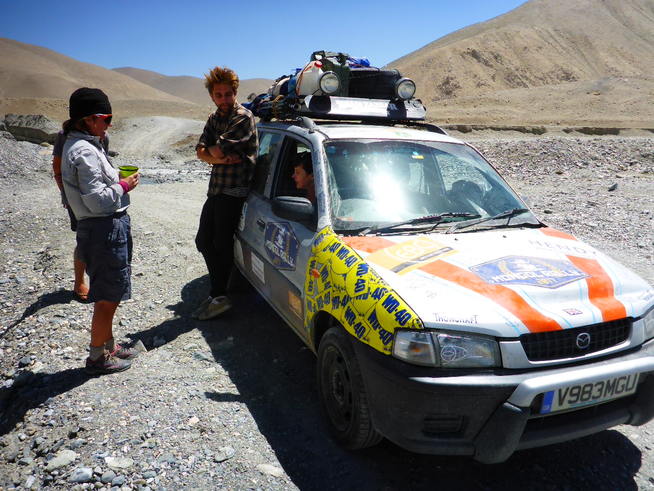
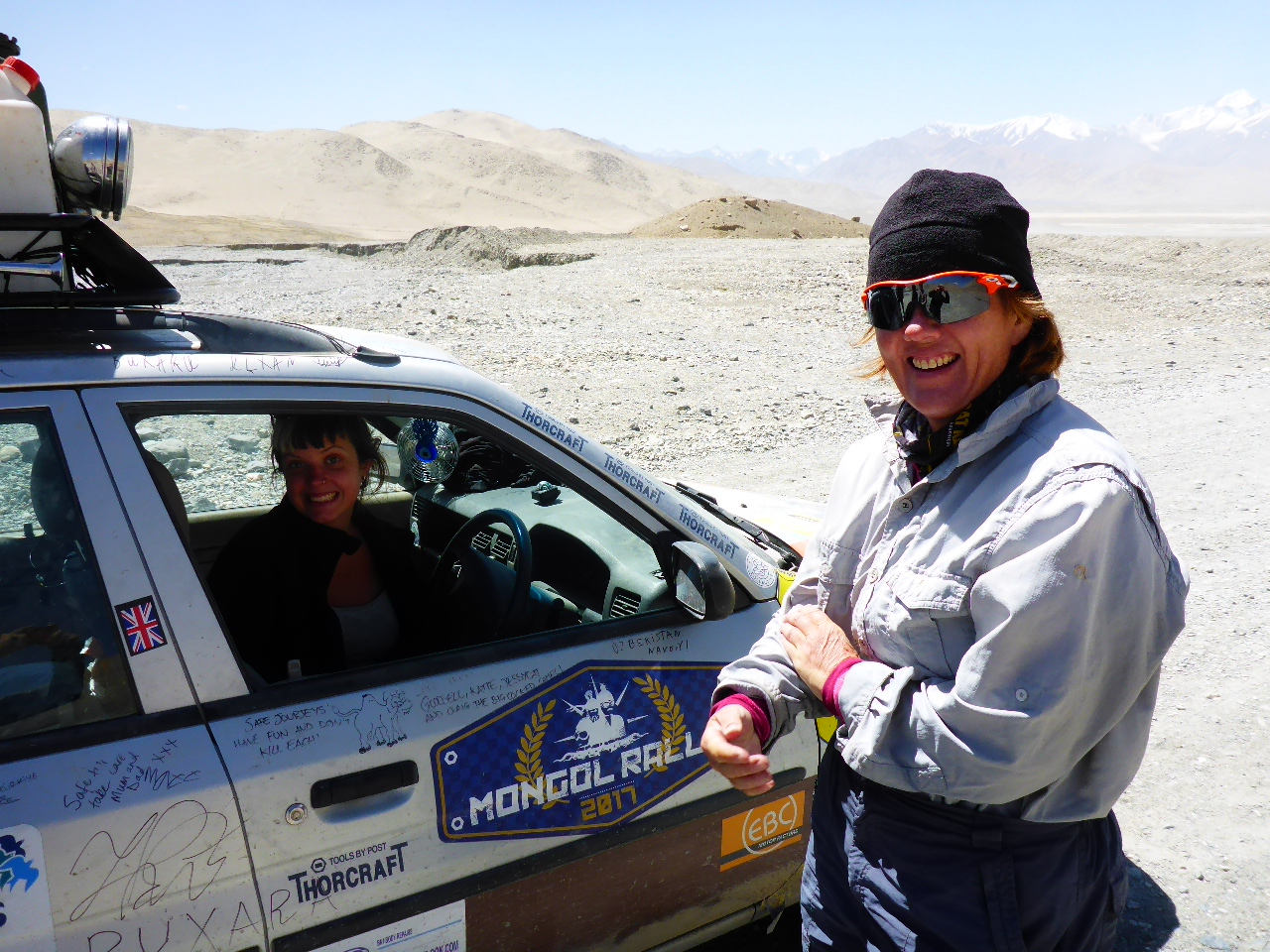
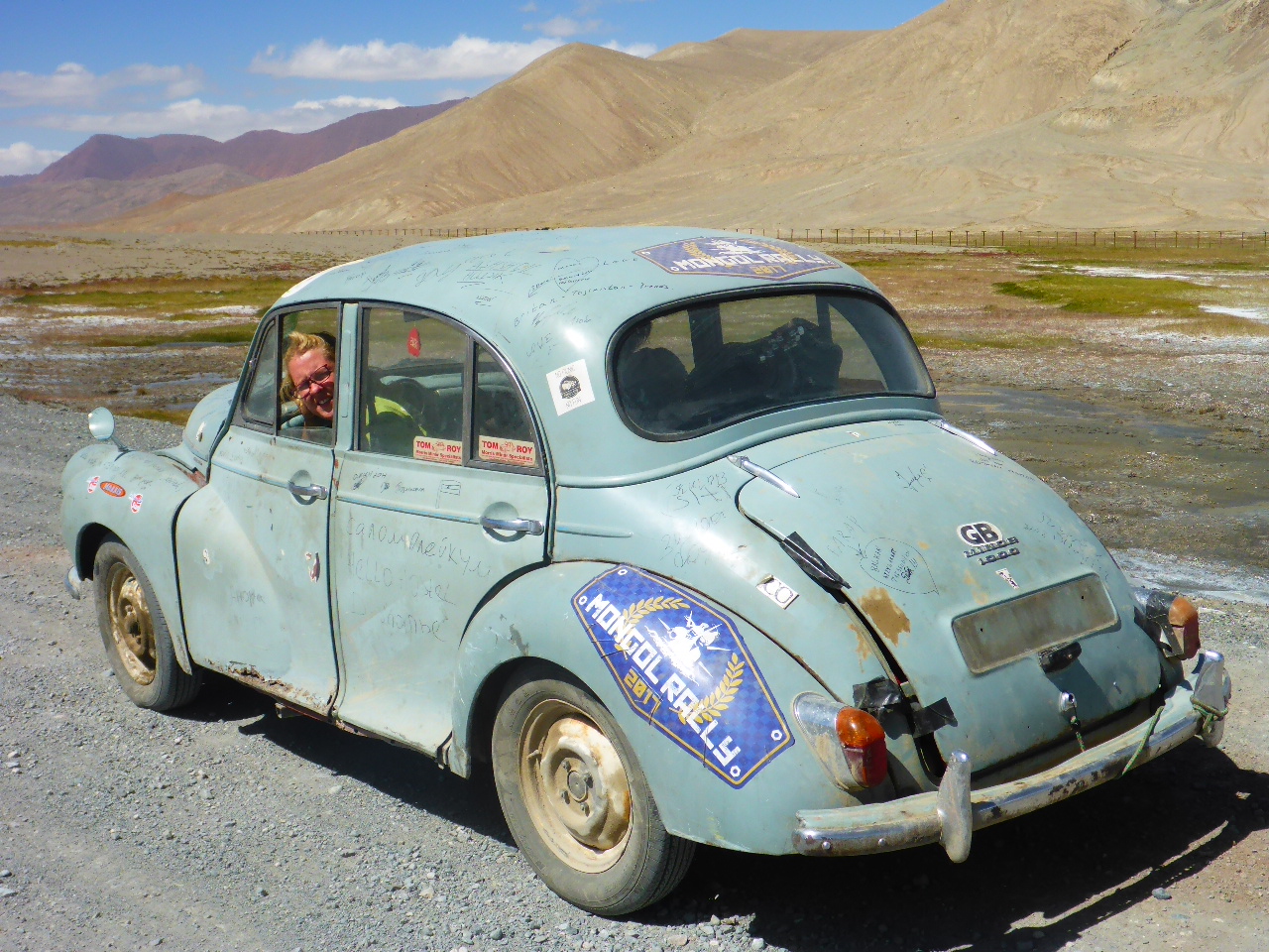
After food we continue on our way. We were hoping for a long downhill but we’re disappointed – it’s undulating rough road. We’re taking a break on the roadside and 2 British cars from the Mongol Rally stop and chat. We’ve seen several cars from the Rally over the past few days – thinking of putting it on our bucket list.
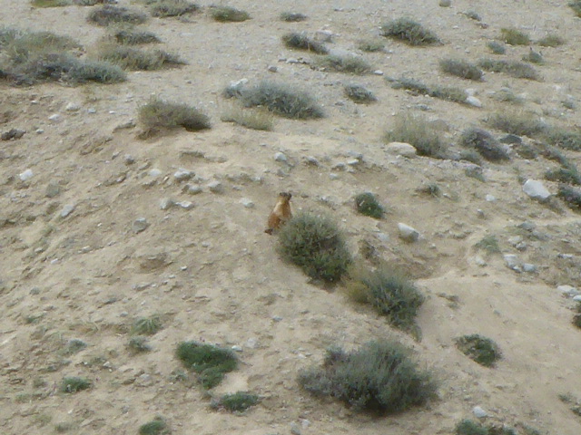
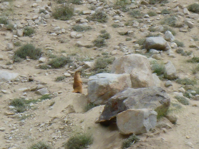
Last night we failed to spot our furry friend but today we spot loads on the hillsides. We hear them calling a warning when they see us nearby. Are they Marmots or Prairie Dogs?


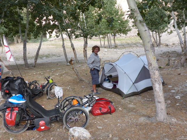
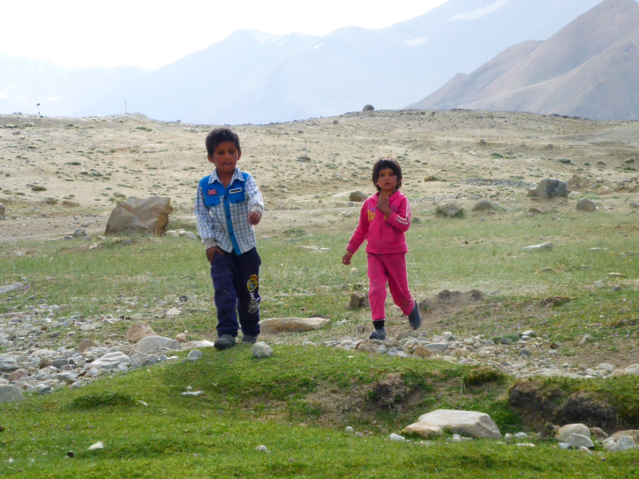
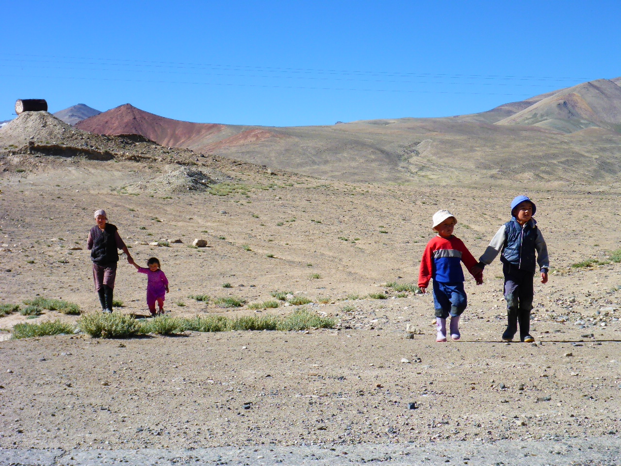
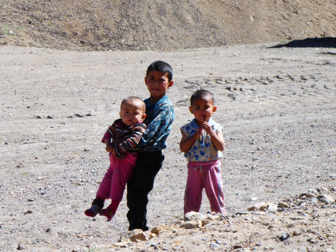
We stop by a stream to camp for the night. Not long after setting up camp two young children come over and seem determined to squat (an incredibly popular resting pose out here) and watch us all night. Daz chivvies them away so we can have our wash. These rivers aren’t getting any warmer.
Wednesday 9th August – 17km beyond Koitezek Pass to Lake Yashilkul
Distance: 35.96 km
Total Distance: 15898.38 km
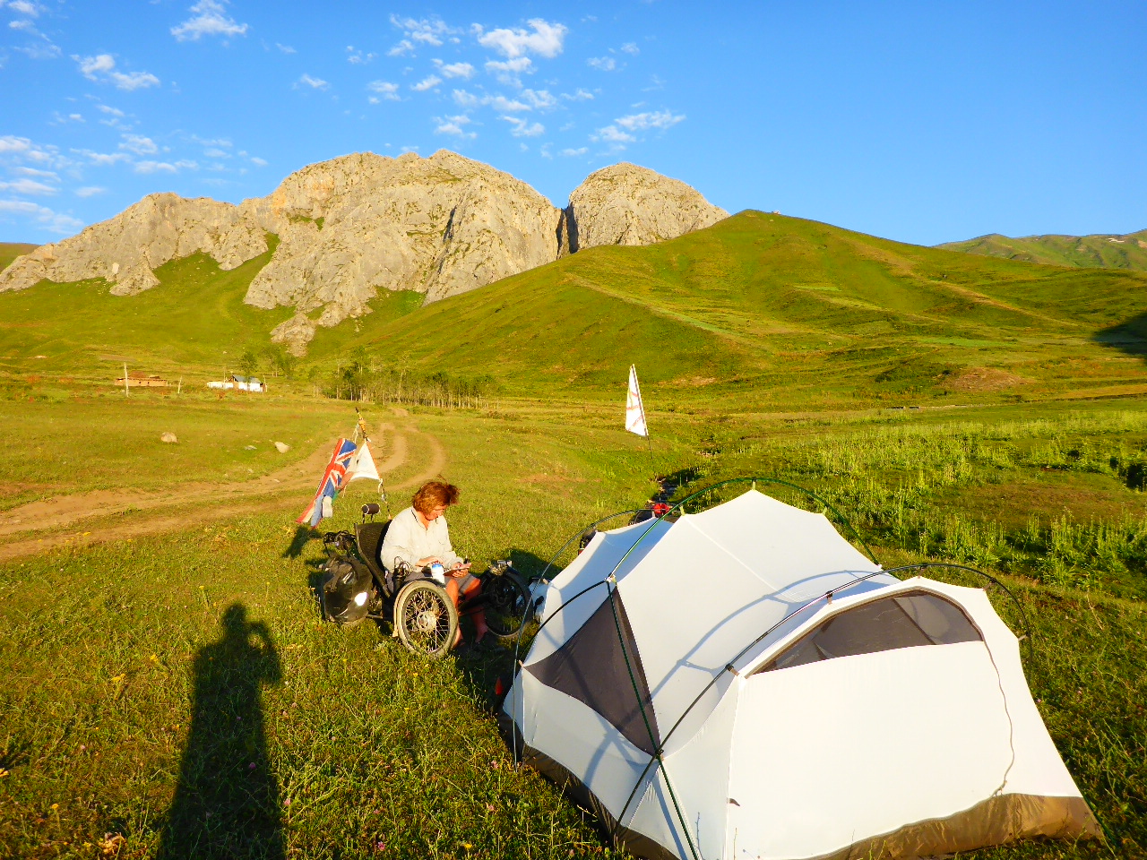
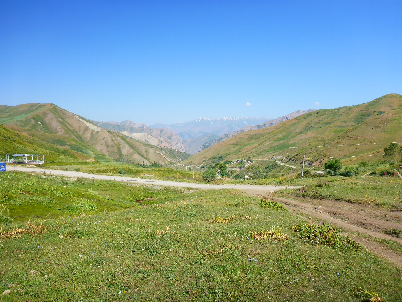
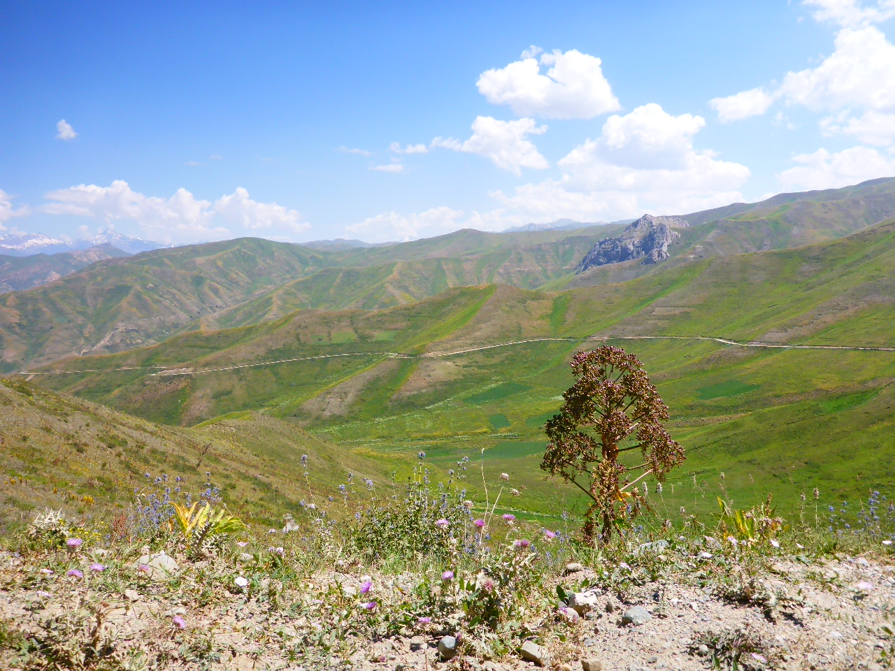
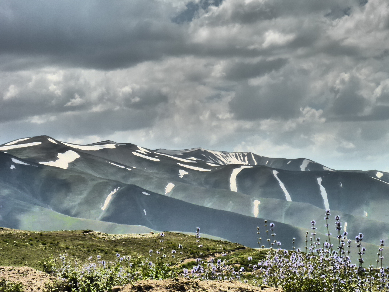
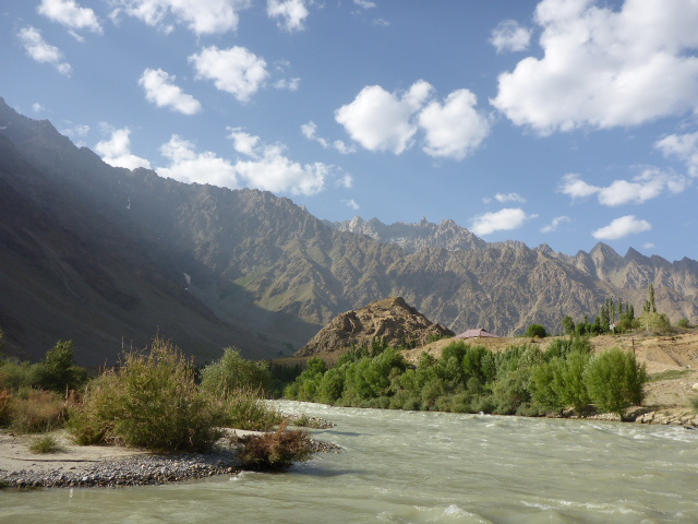
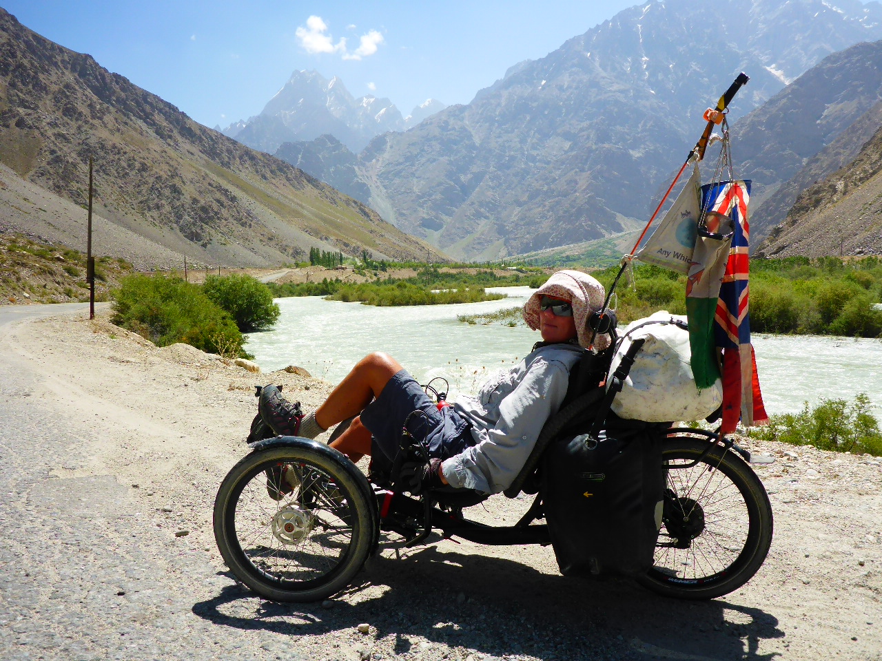
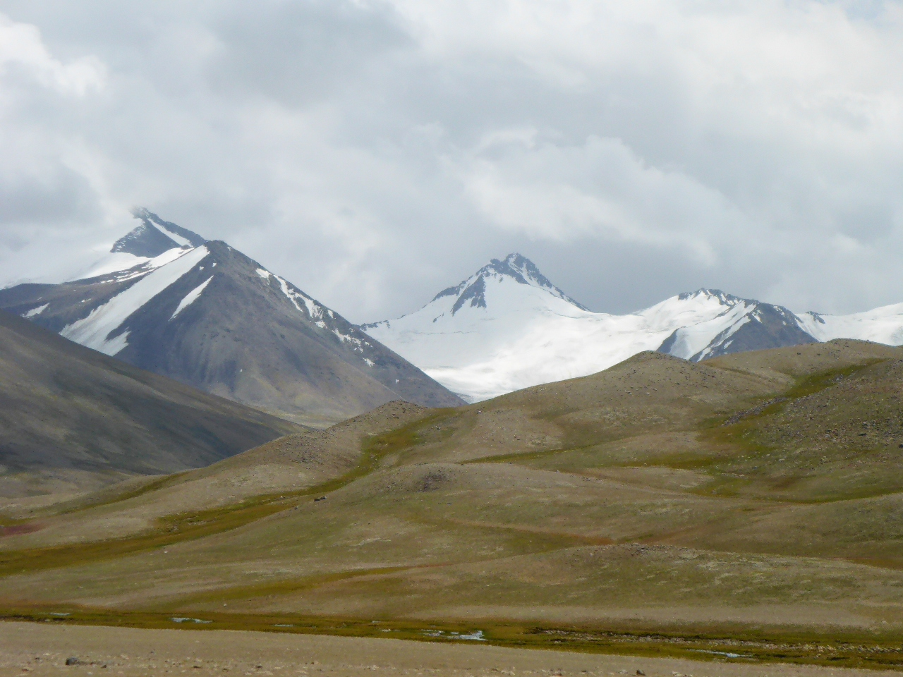
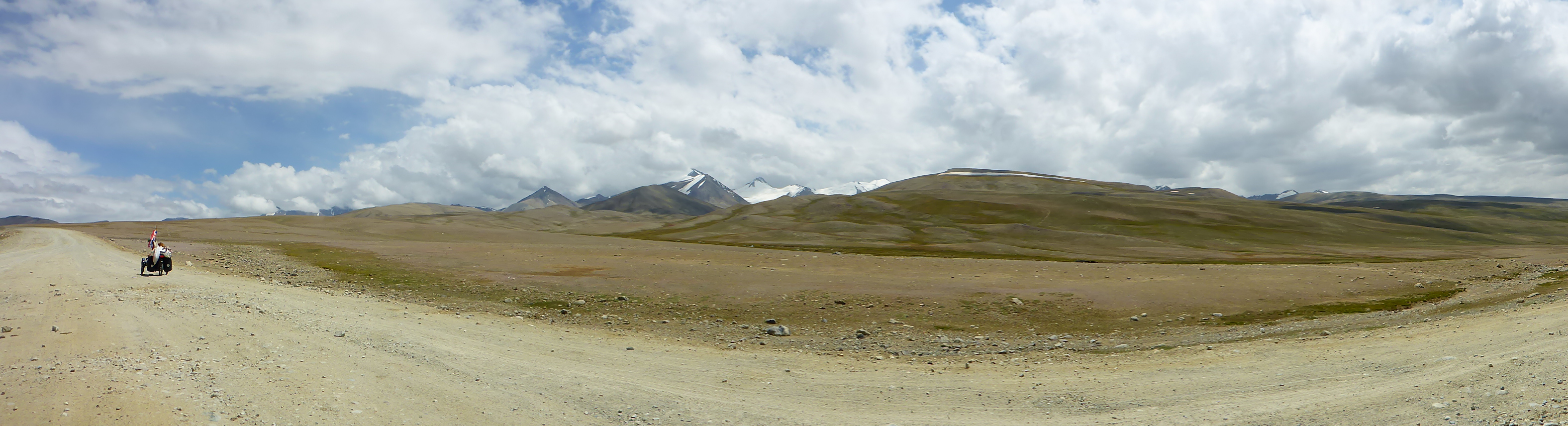
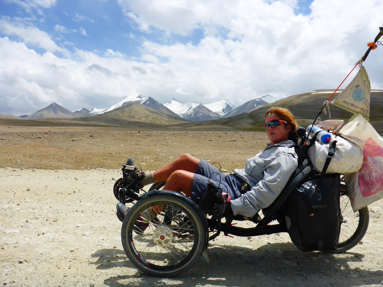
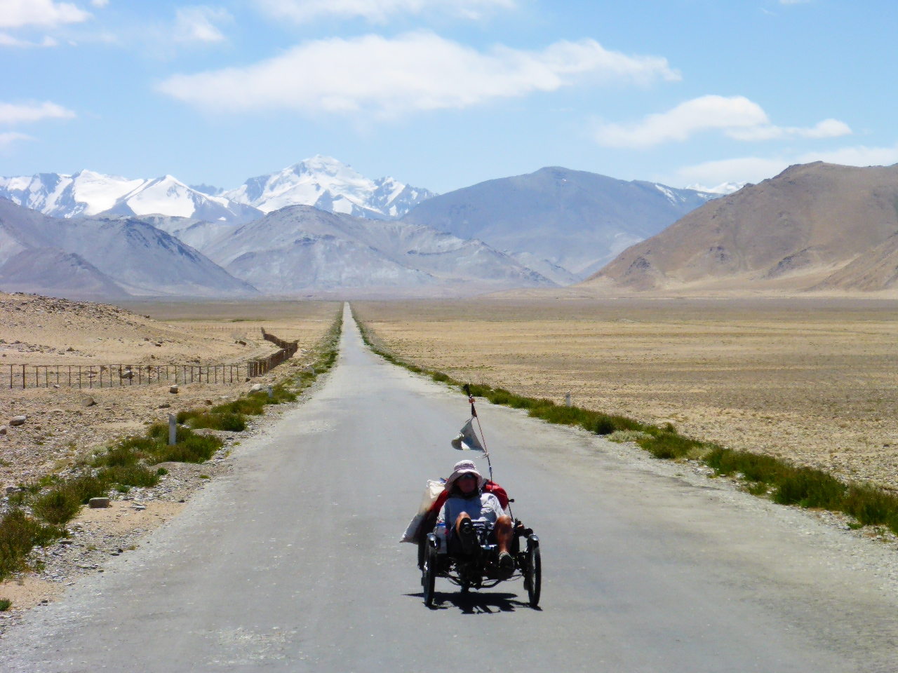
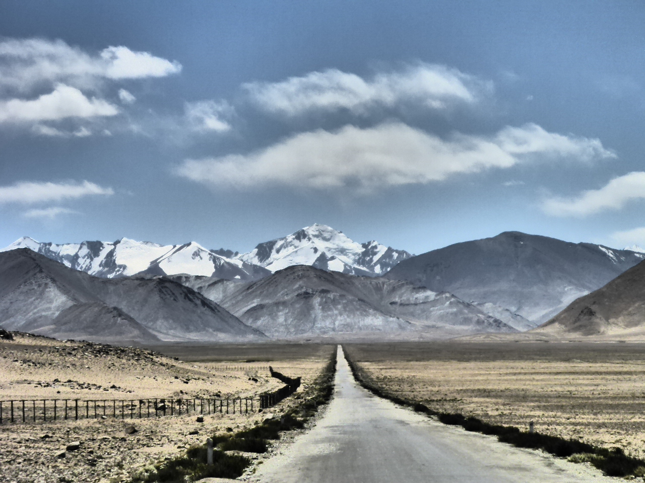
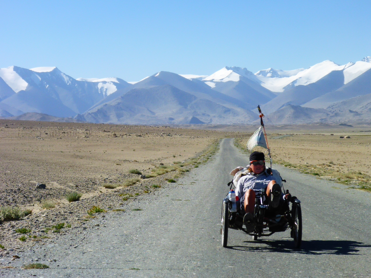
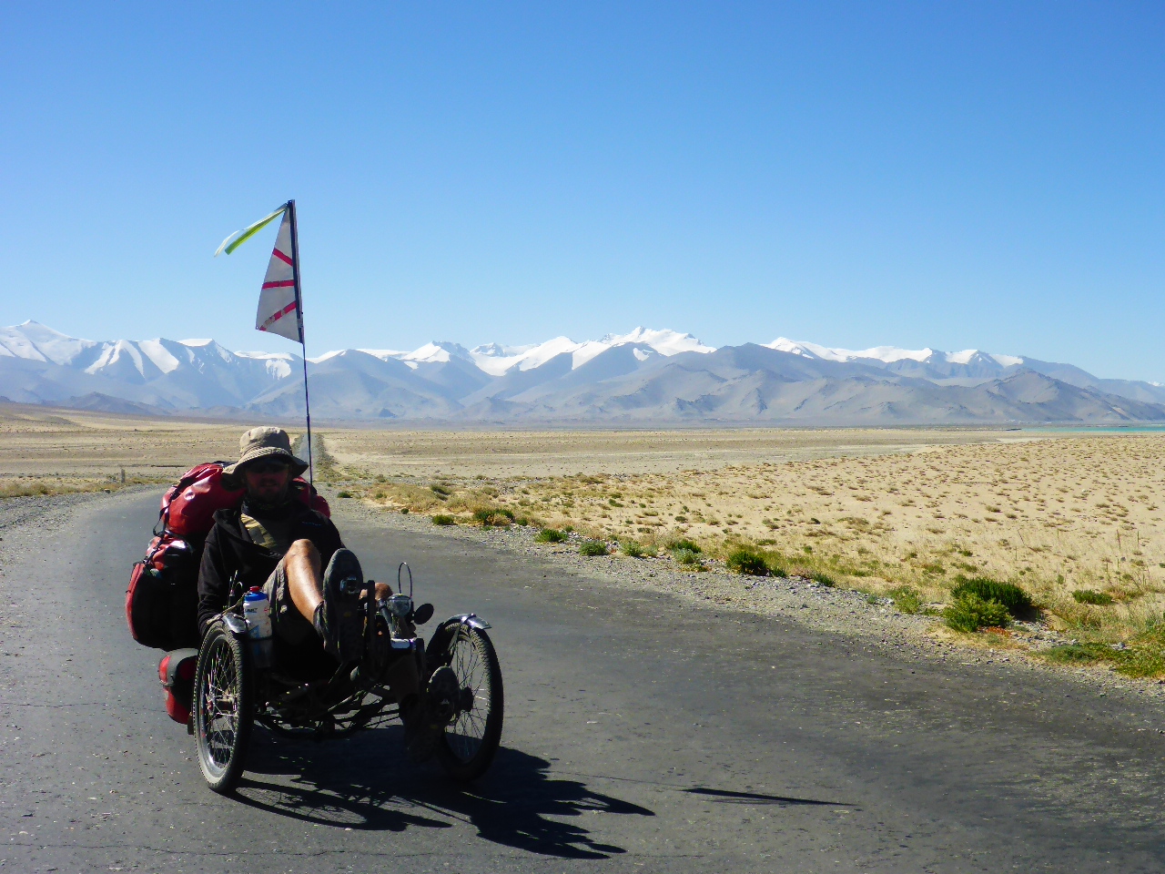
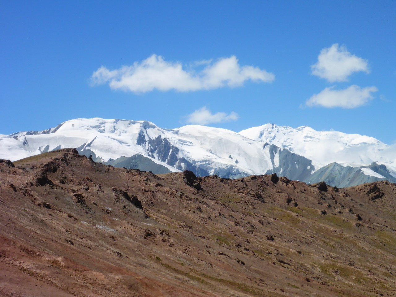
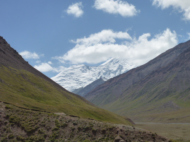
This morning we start with a climb but then the road levels out across a high plain with snow capped hills on the horizon. We meet a Norwegian cyclist, Hans, coming the other way. He’s been on the road 3 years!


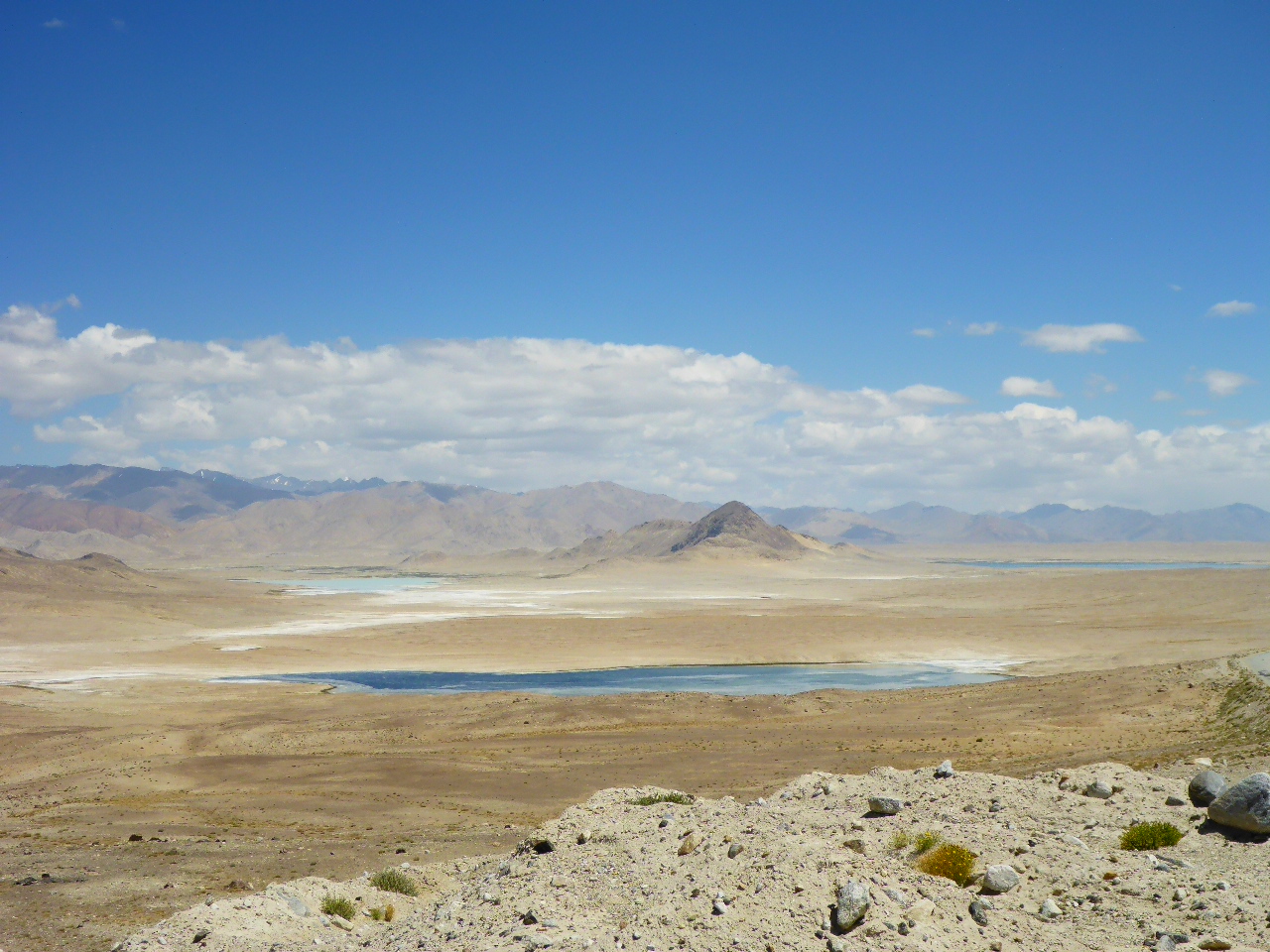
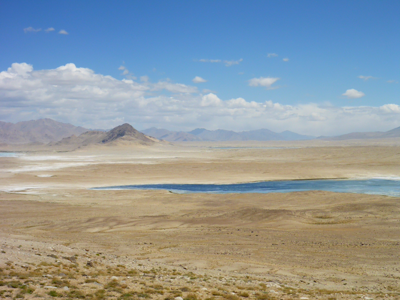
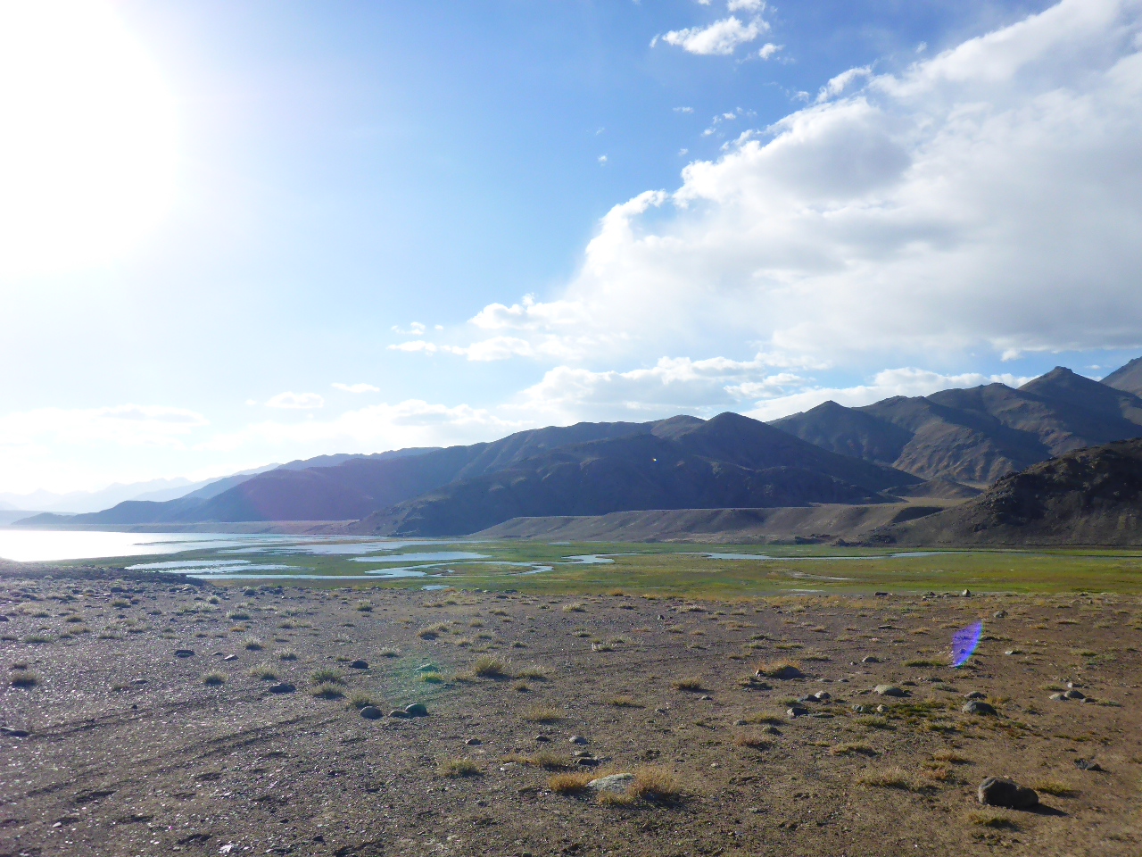
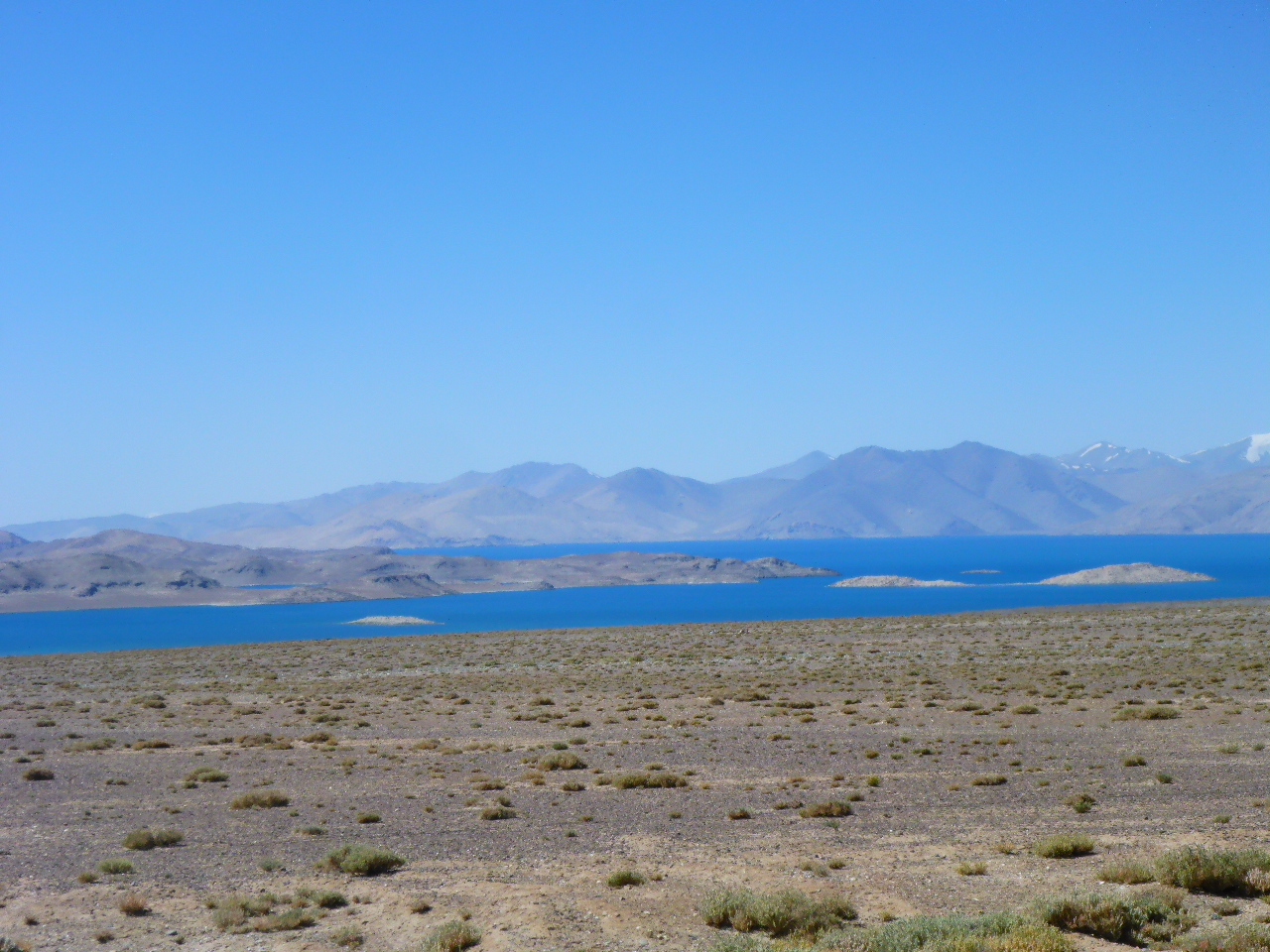
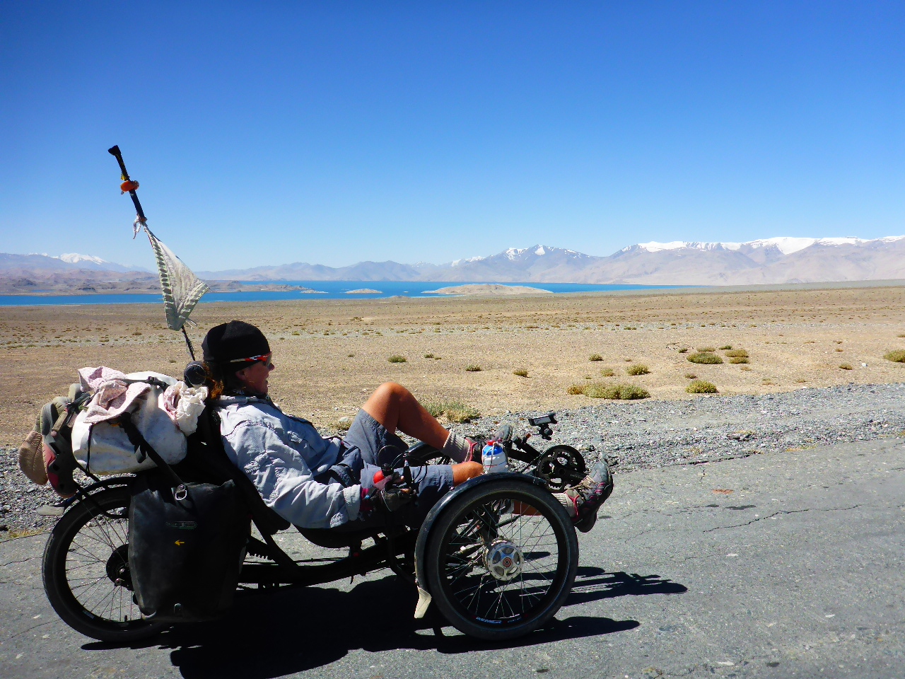
Just after meeting him the road turns to glorious tarmac! At last! And then there’s a beautiful viewpoint over the salt lakes Tuzkul and Sasykkul.
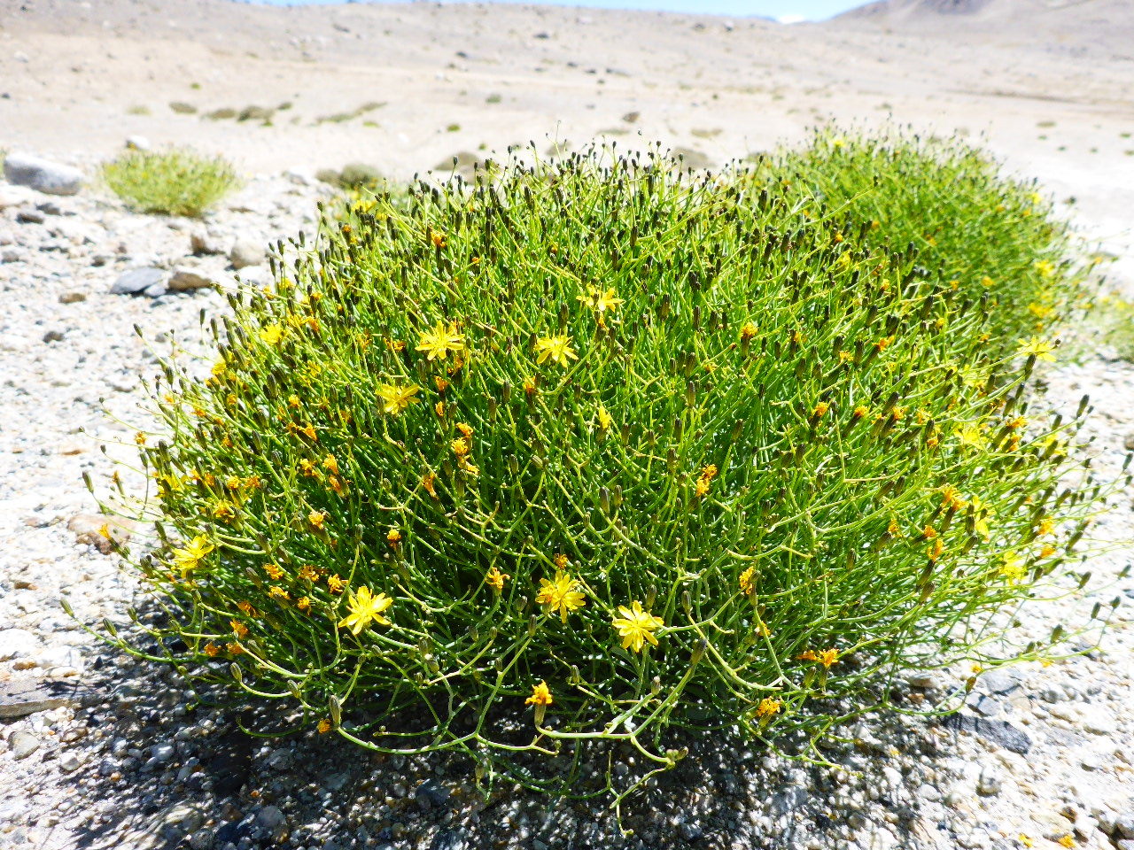
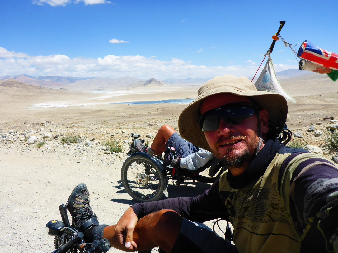
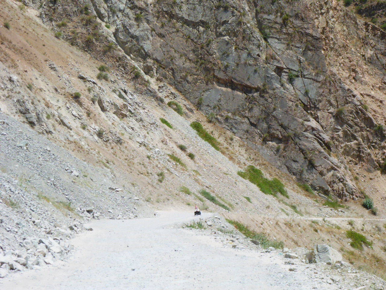
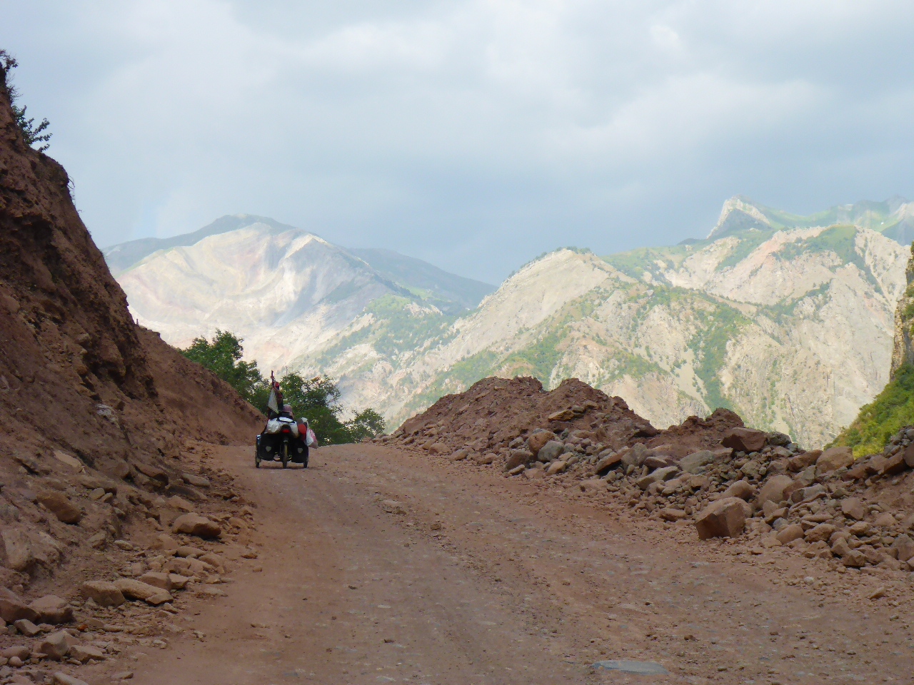
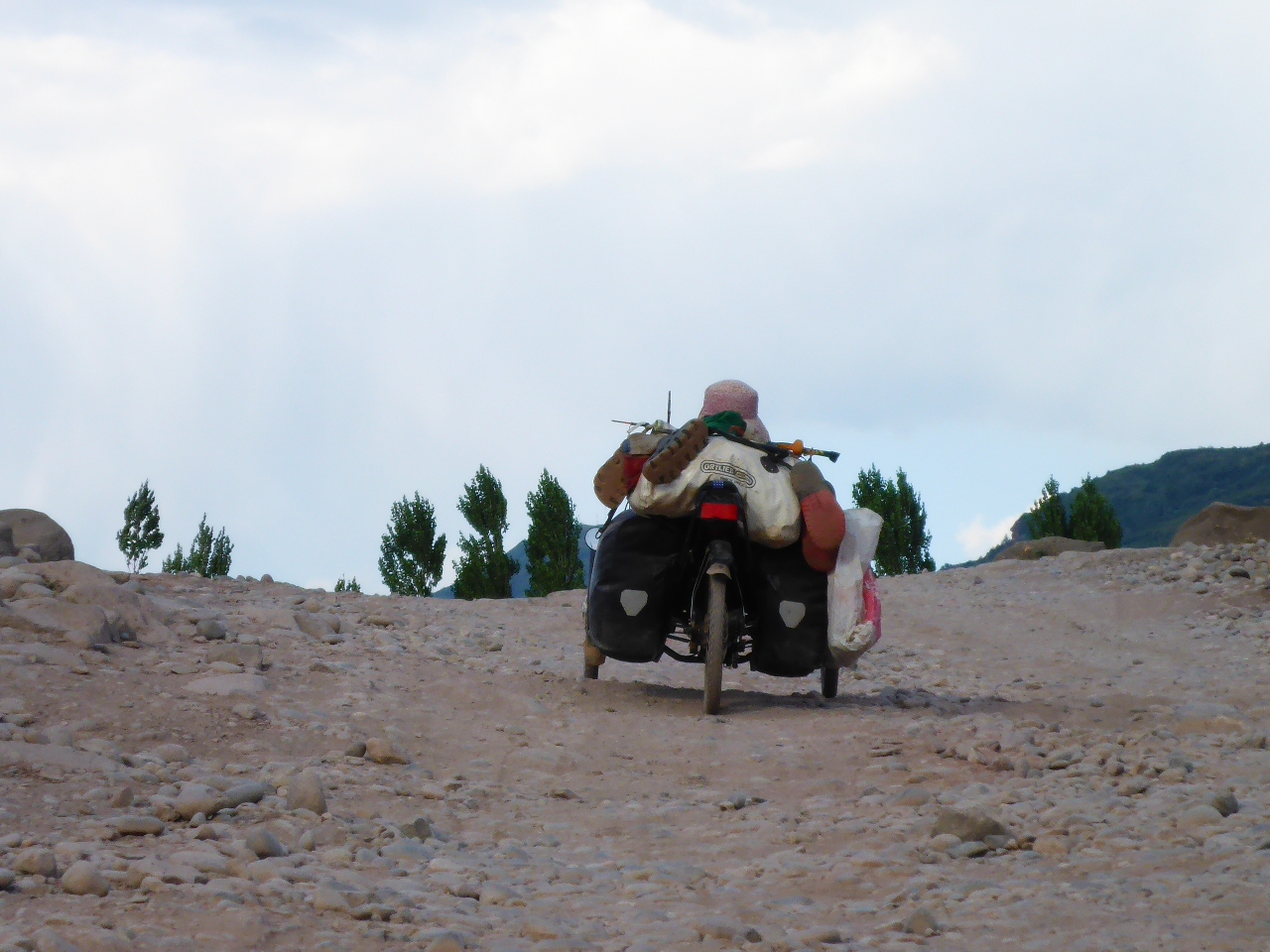
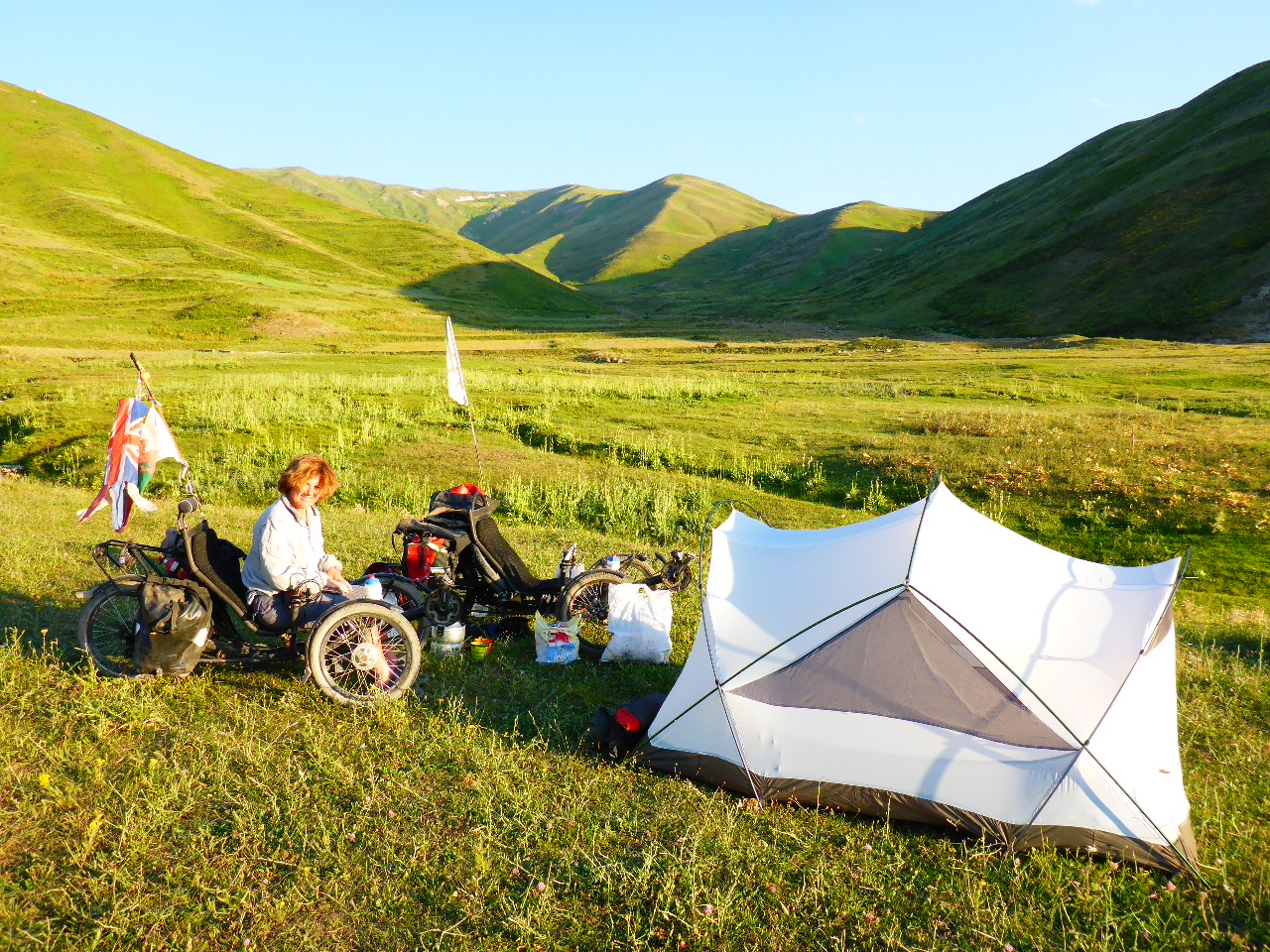
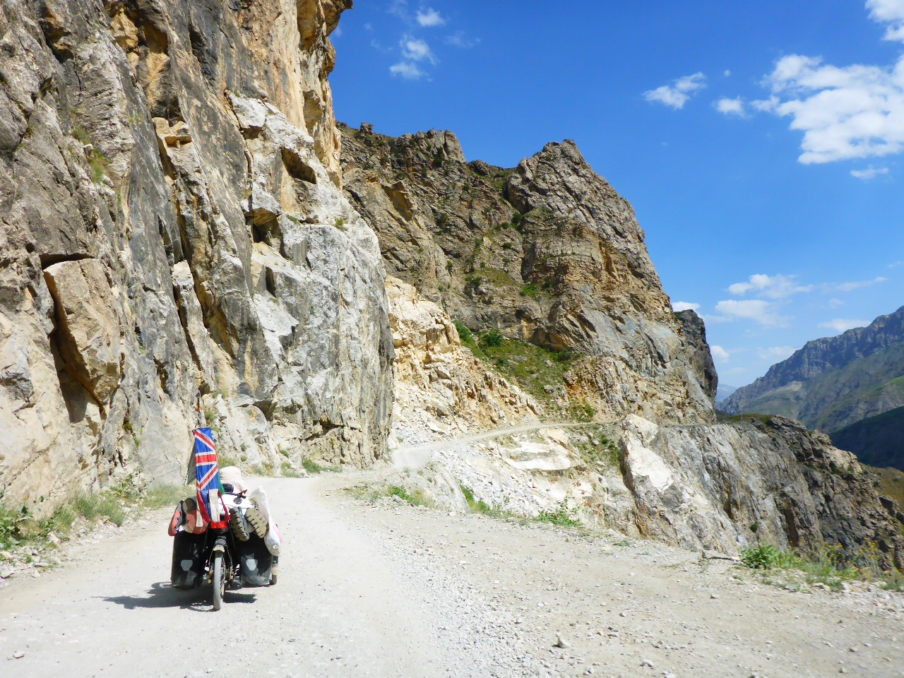
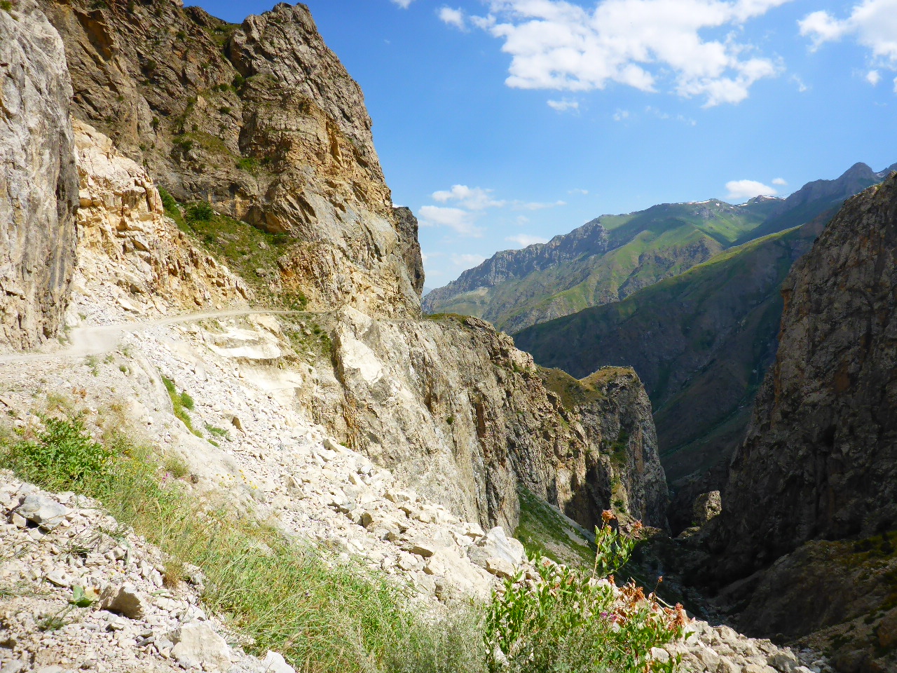
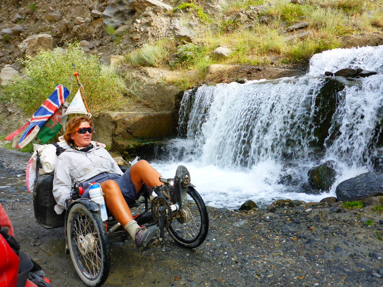
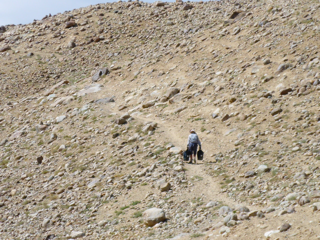
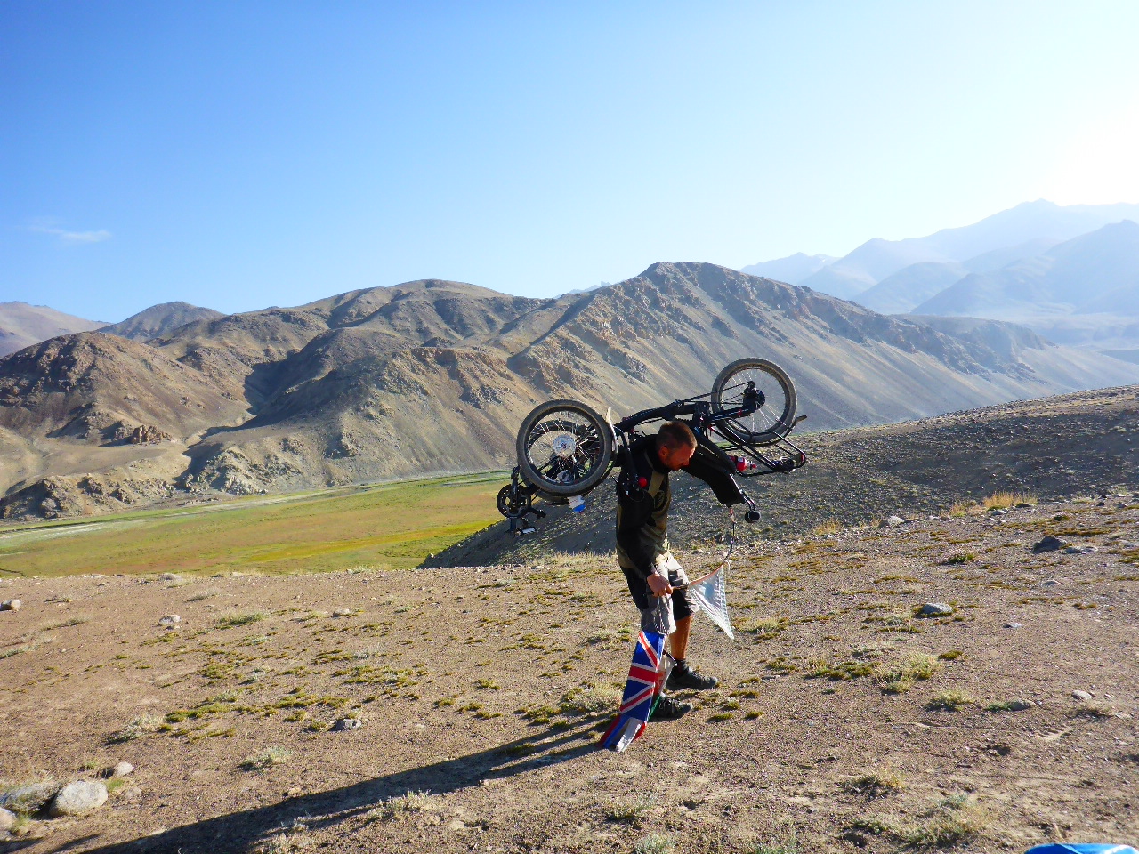
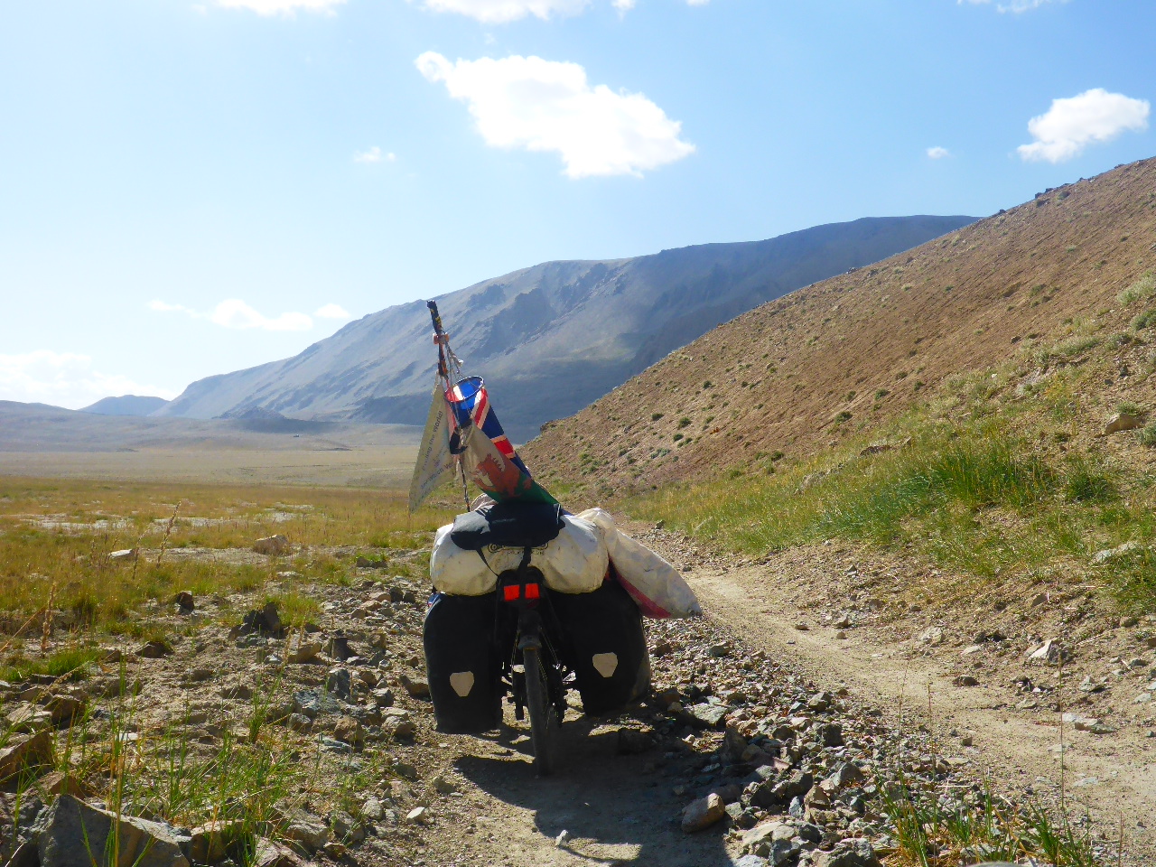
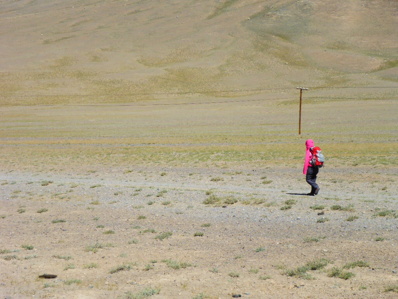
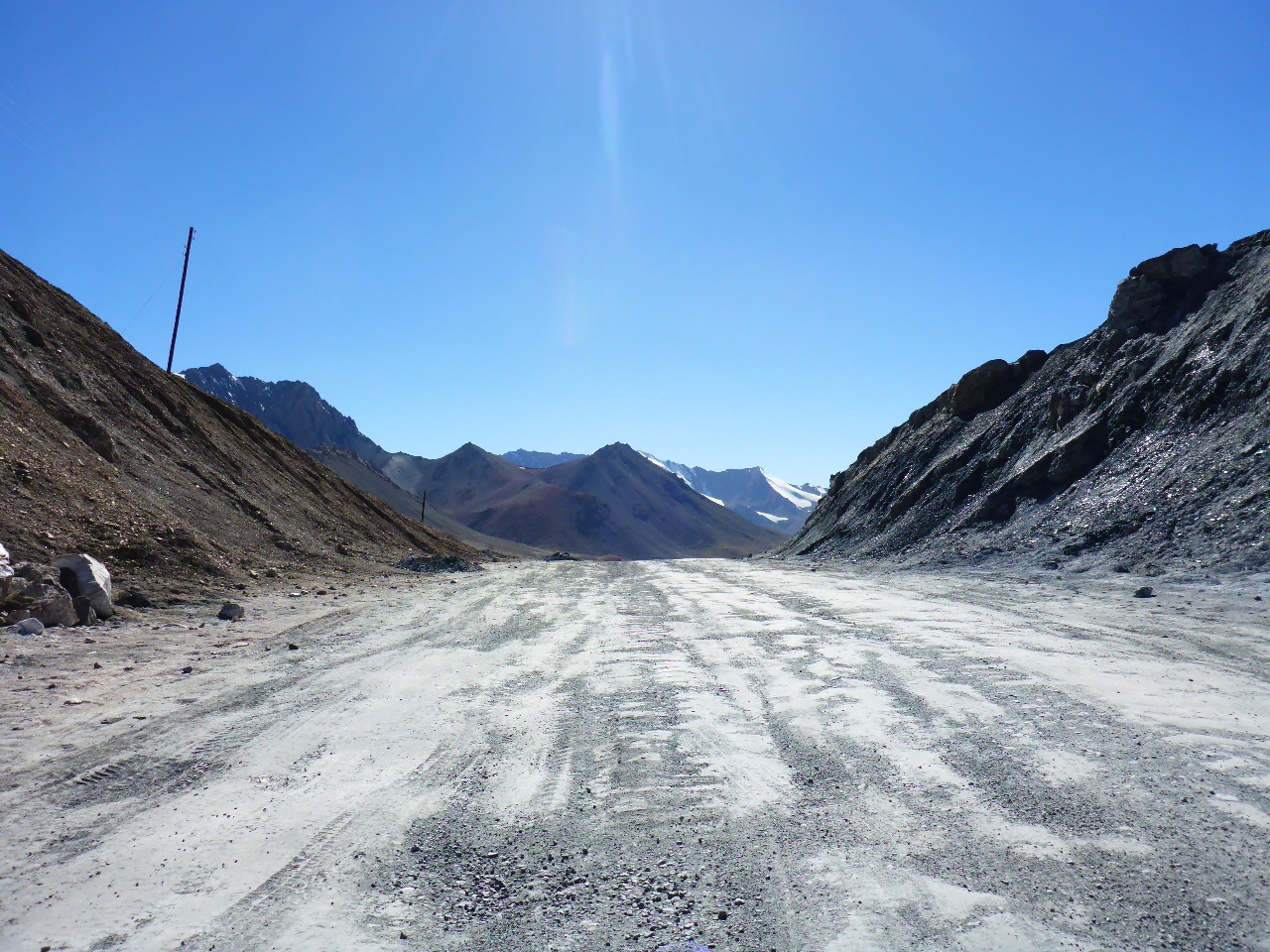
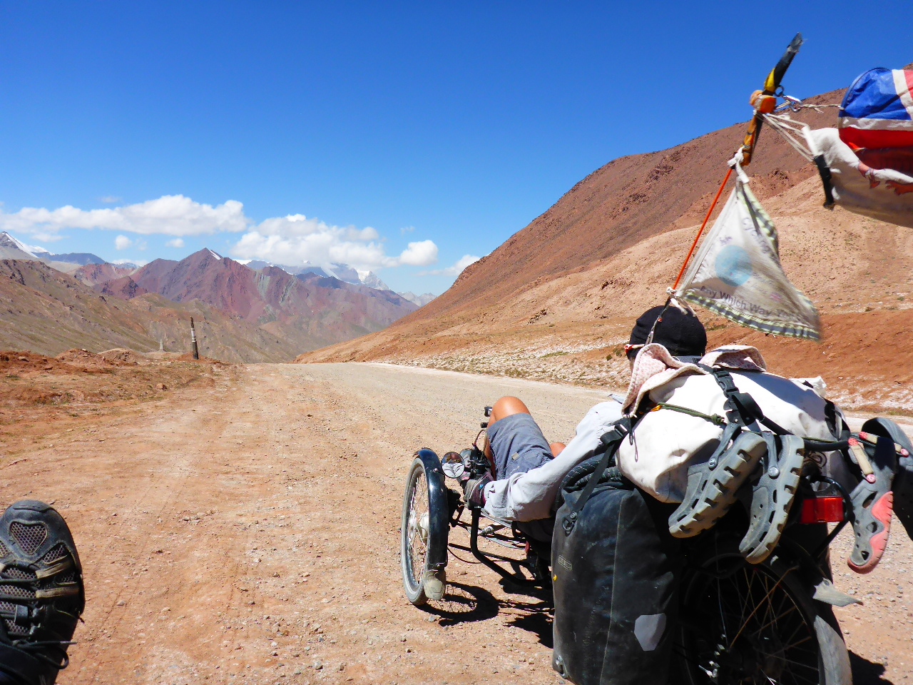
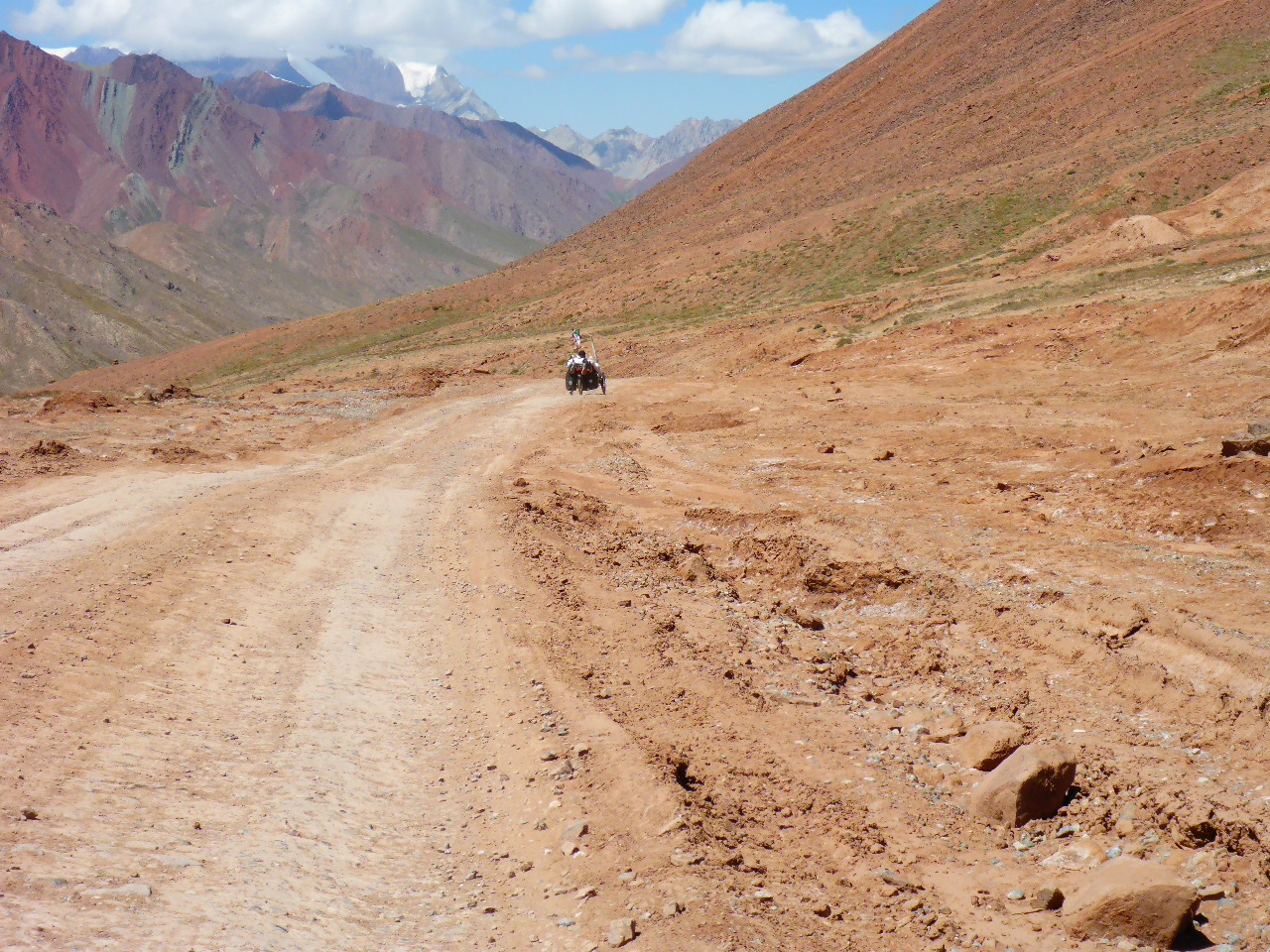
It’s at this point we stupidly decide to detour to the hot spring near Lake Yashilkul. It’s 22km of tough riding with washboard and deep sand.
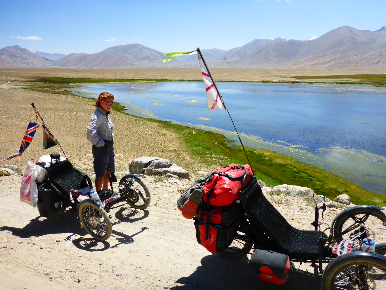
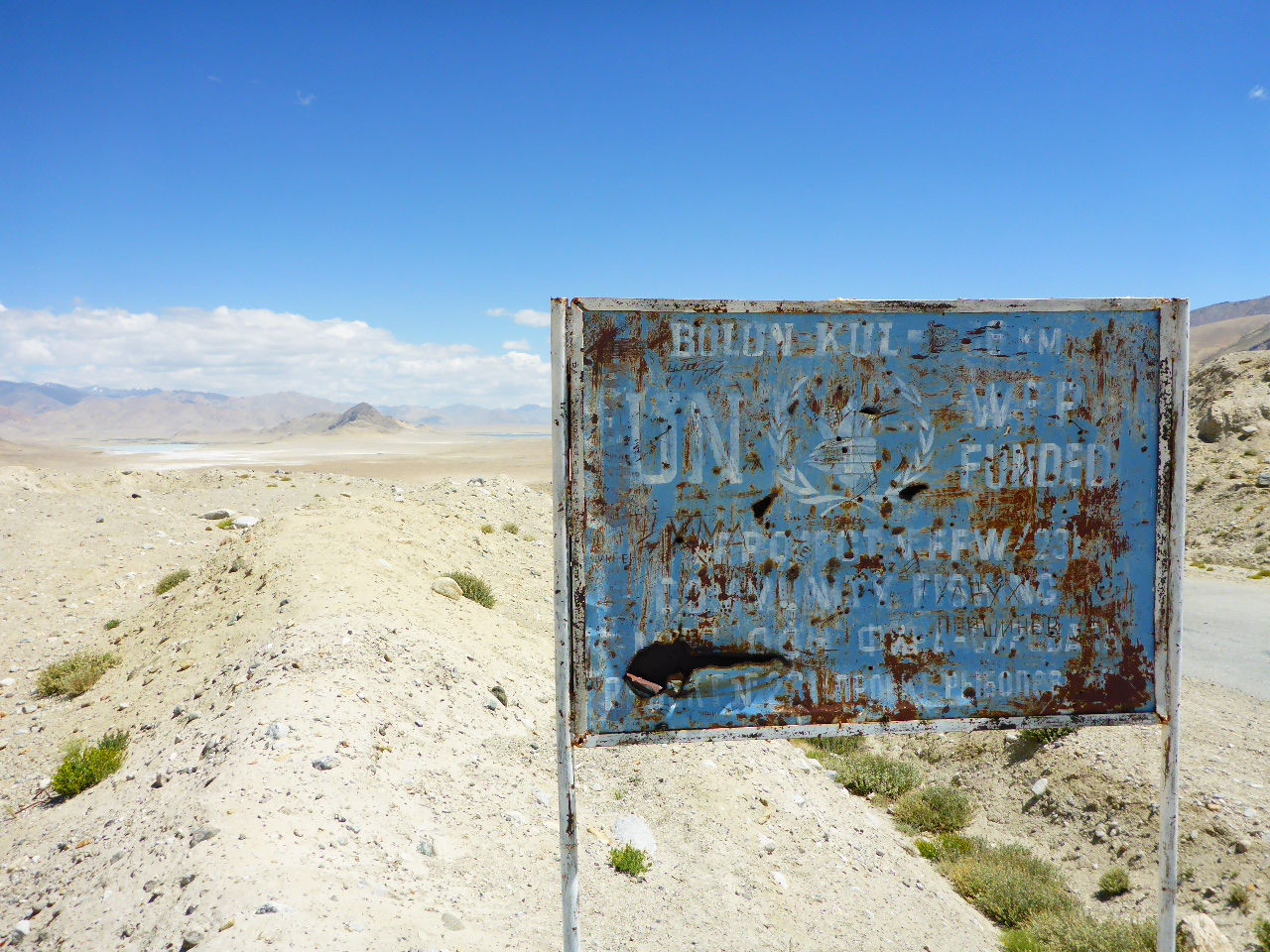
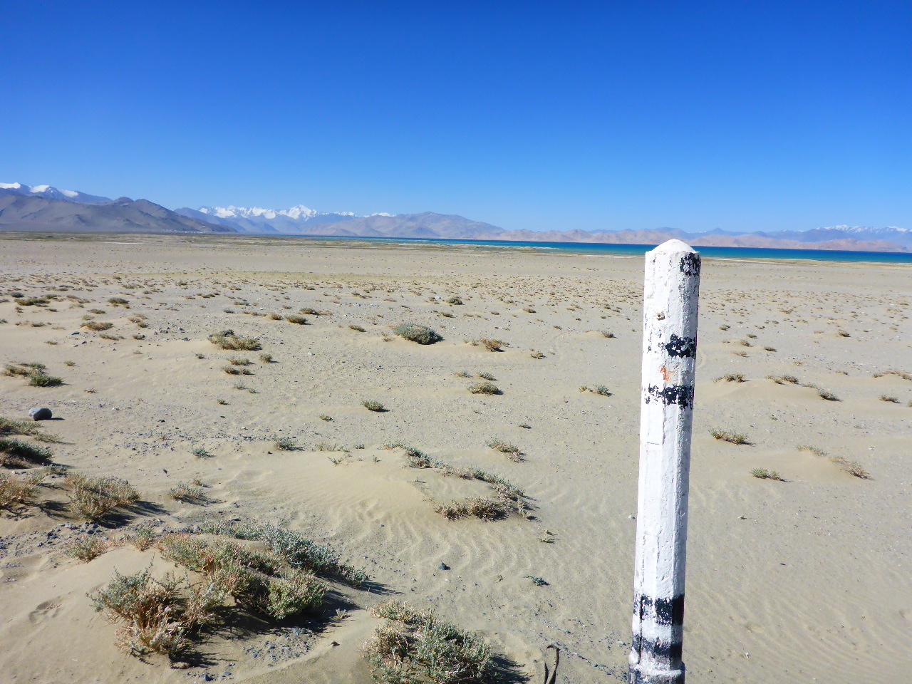
After 10km we come to a beautiful lake, Bulunkul, and it’s here things start to go wrong. There’s hills where the sand is too deep to cycle and then our track deteriorates into a rocky footpath up a steep incline. No way can we ride any further and going back is out of the question. We unload the trikes, carry up the bags and Daz heroically carries each trike up the steep rocky path over his shoulder. Wow – amazing!
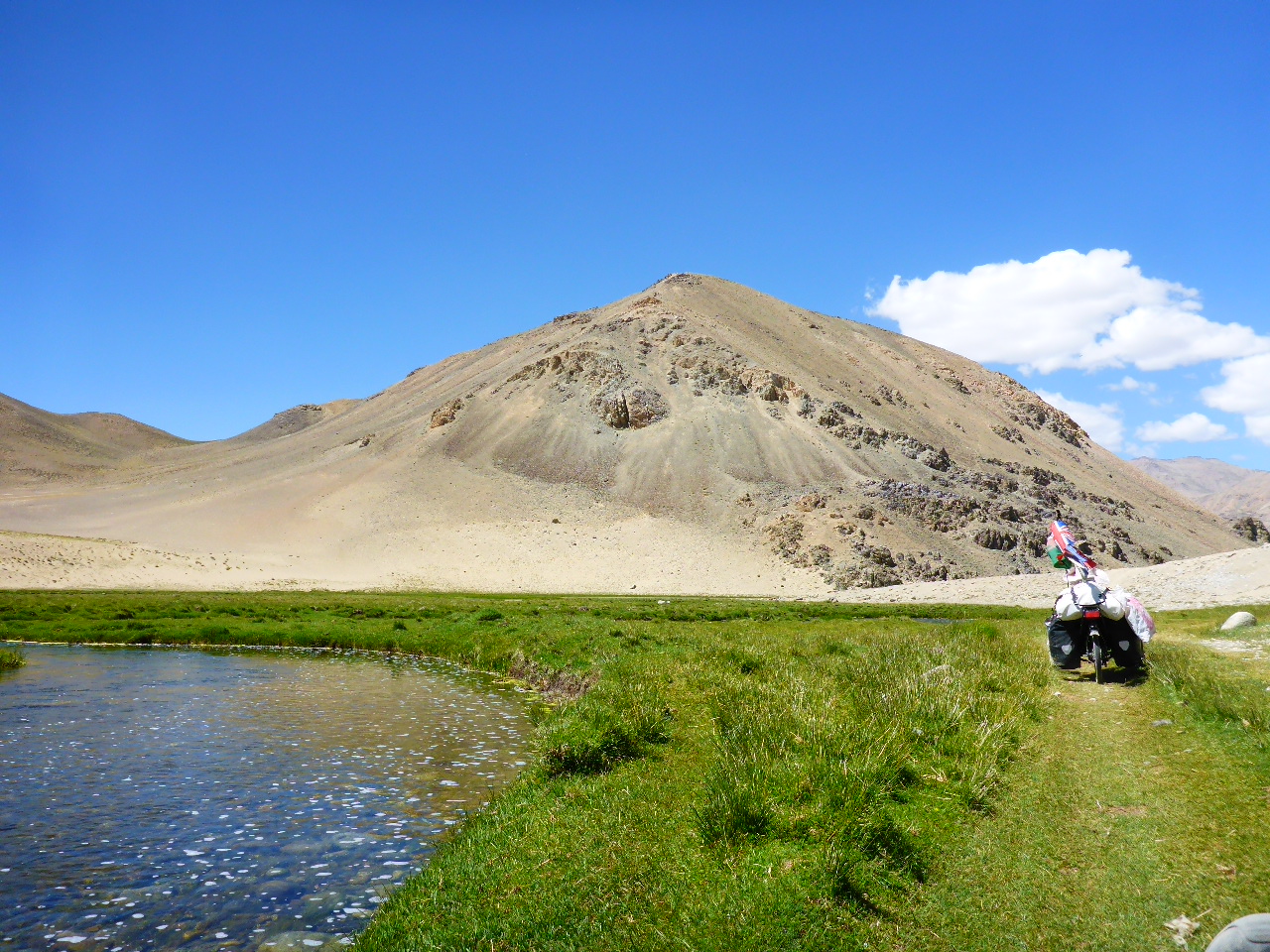
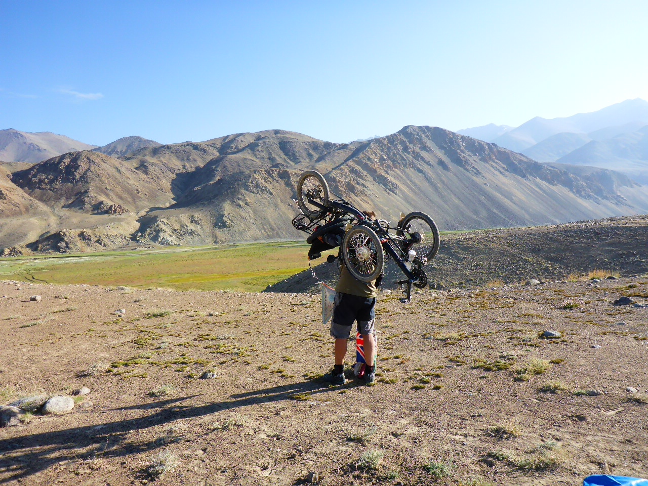
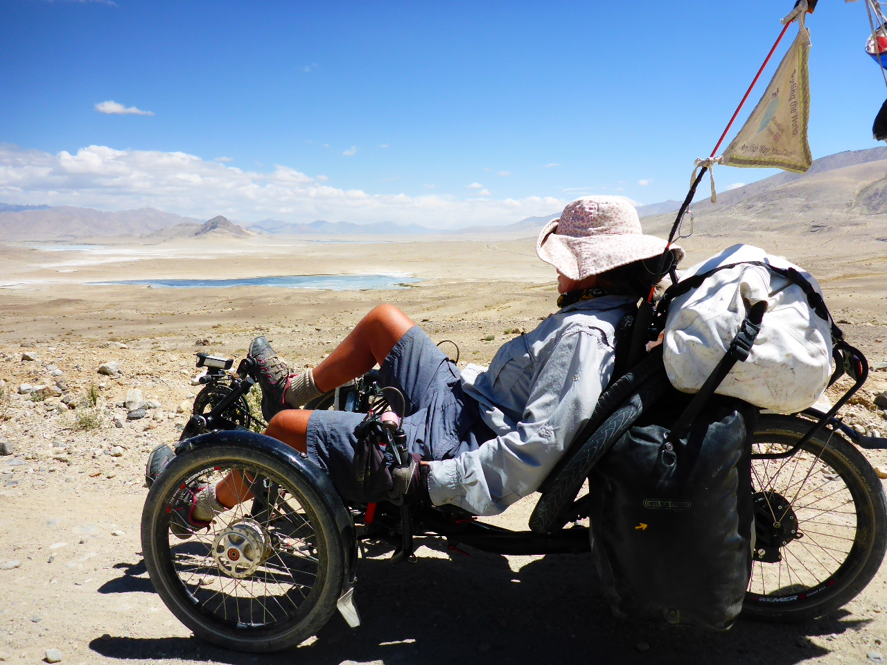
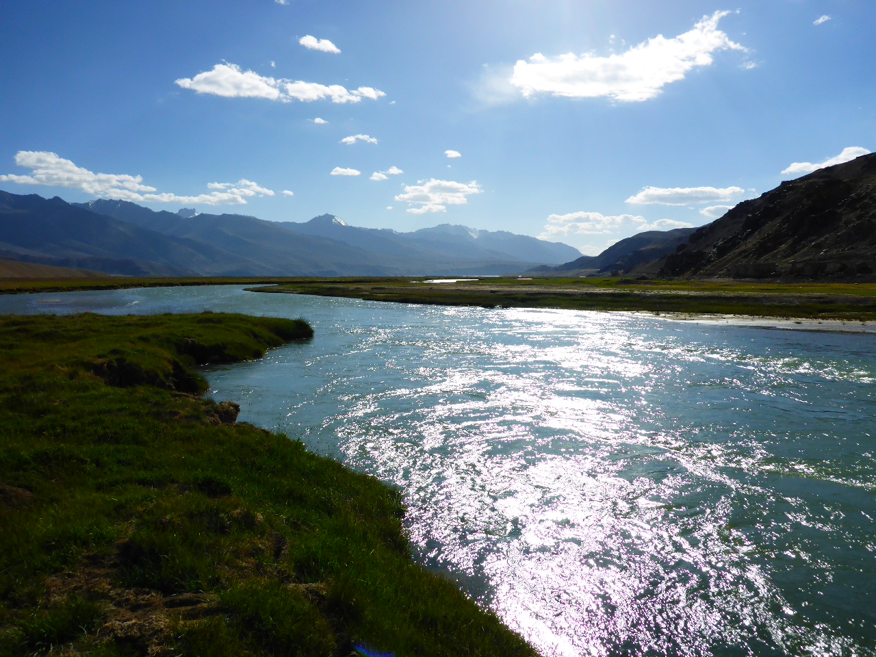
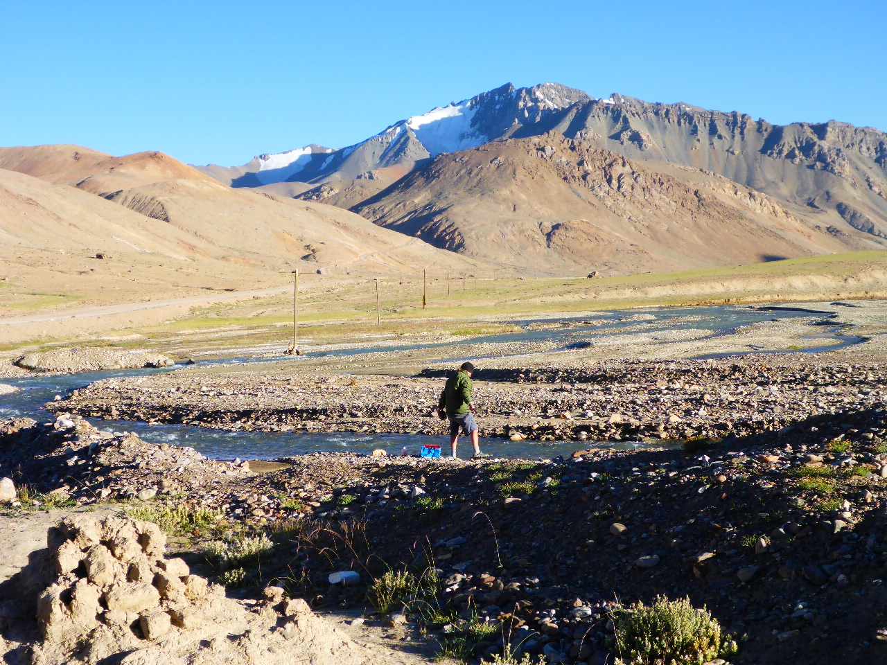
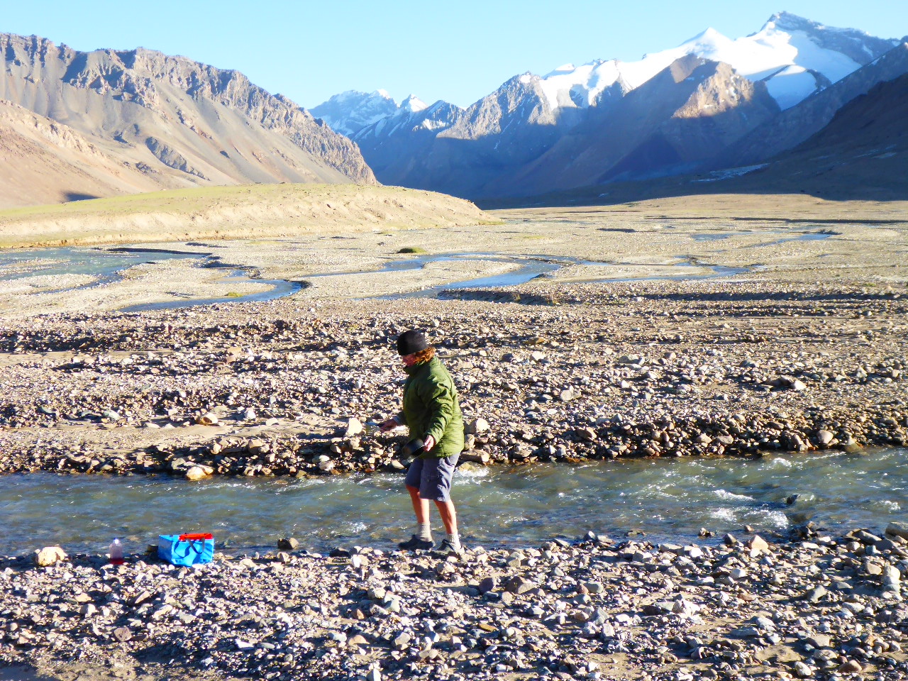
Back at the top we find the track we should’ve been on and push on for a few more kilometers. We are on a flat open plateau overlooking the lake but the hot spring is down in the river valley. So we set up camp on the high ground and then walk down into the river valley. This is when we discover there’s a deep, fast flowing river between us and the hot spring. Well there’s no point swimming across the frigid water, to have a warm bath and then swimming back so we settle for another cold river wash before returning to our campsite for dinner. It’s been a disappointing day but the view over the lake to the mountains beyond is breathtaking.
Thursday 10th August – Lake Yashilkul to Bash Gumbez
Distance: 54.44 km
Total Distance: 15952.82 km
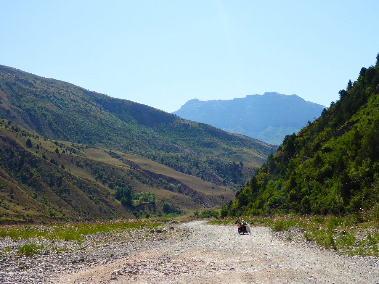
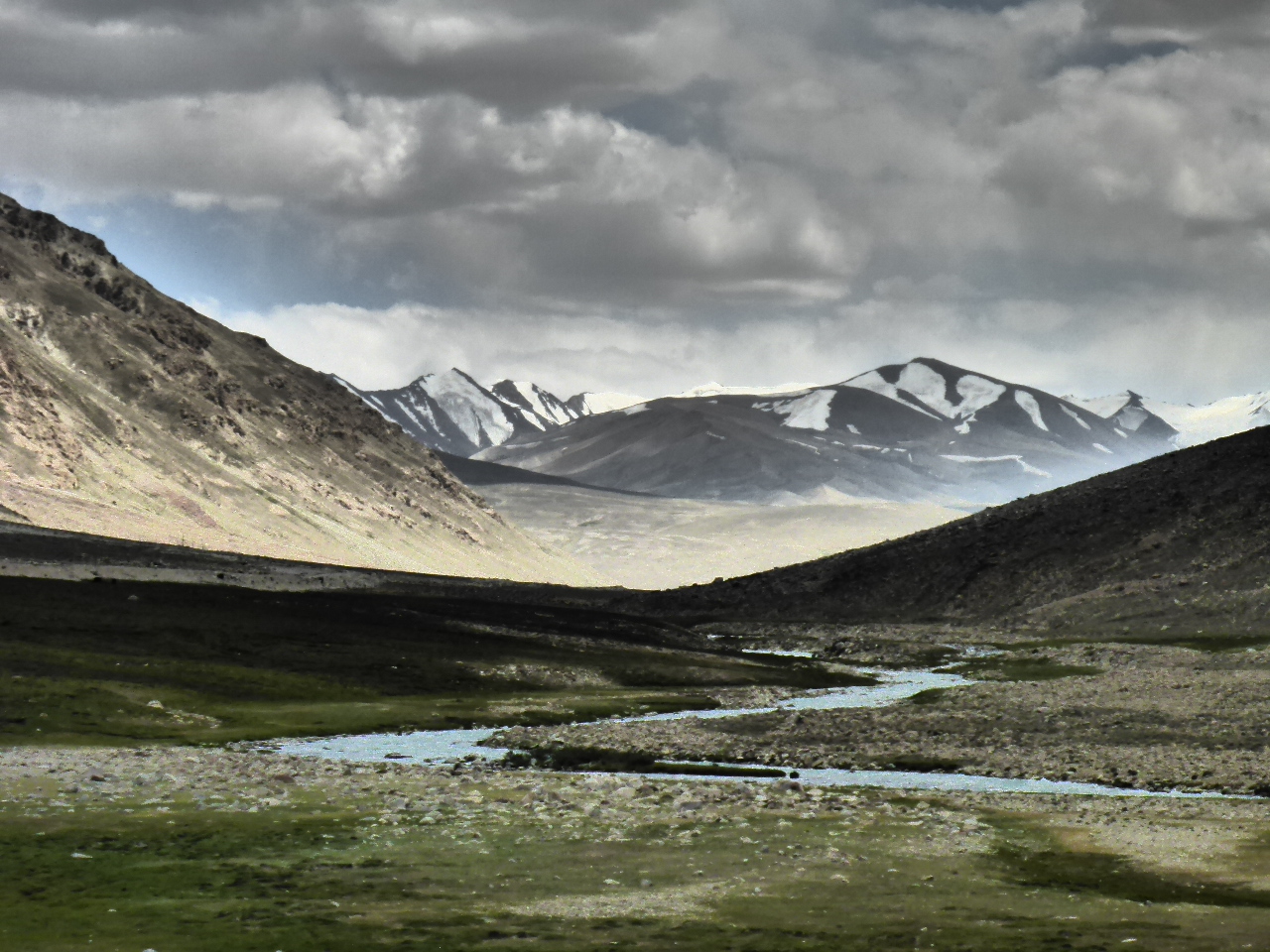
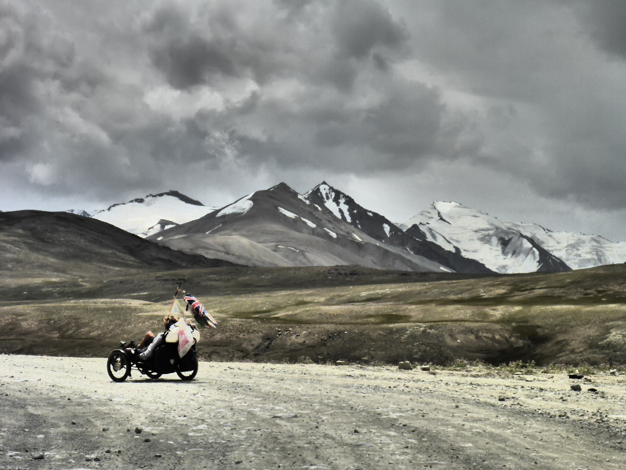
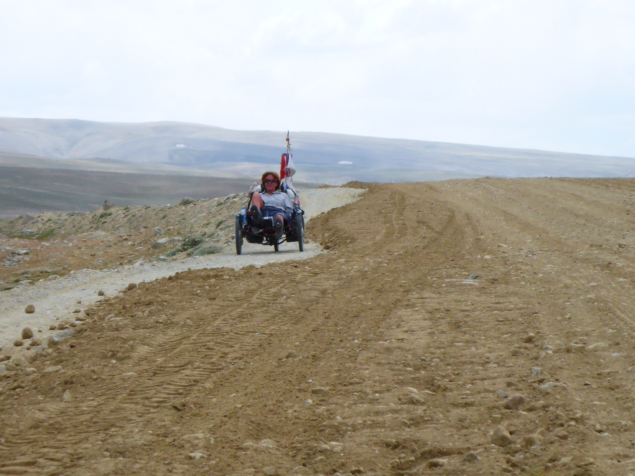
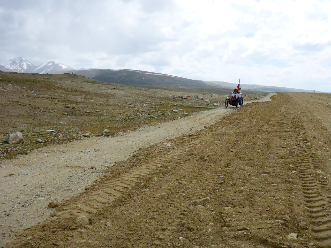
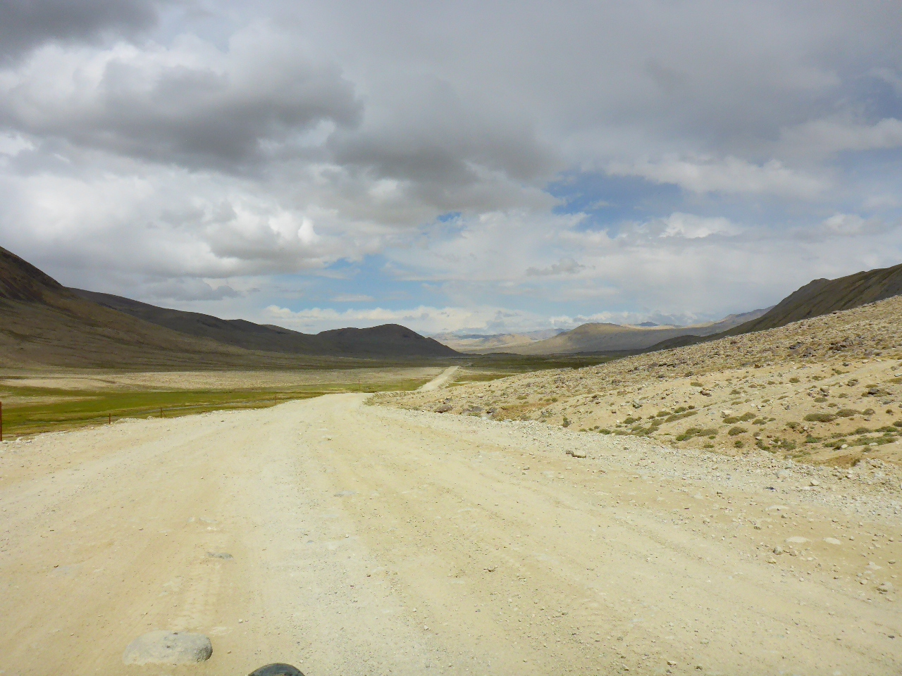
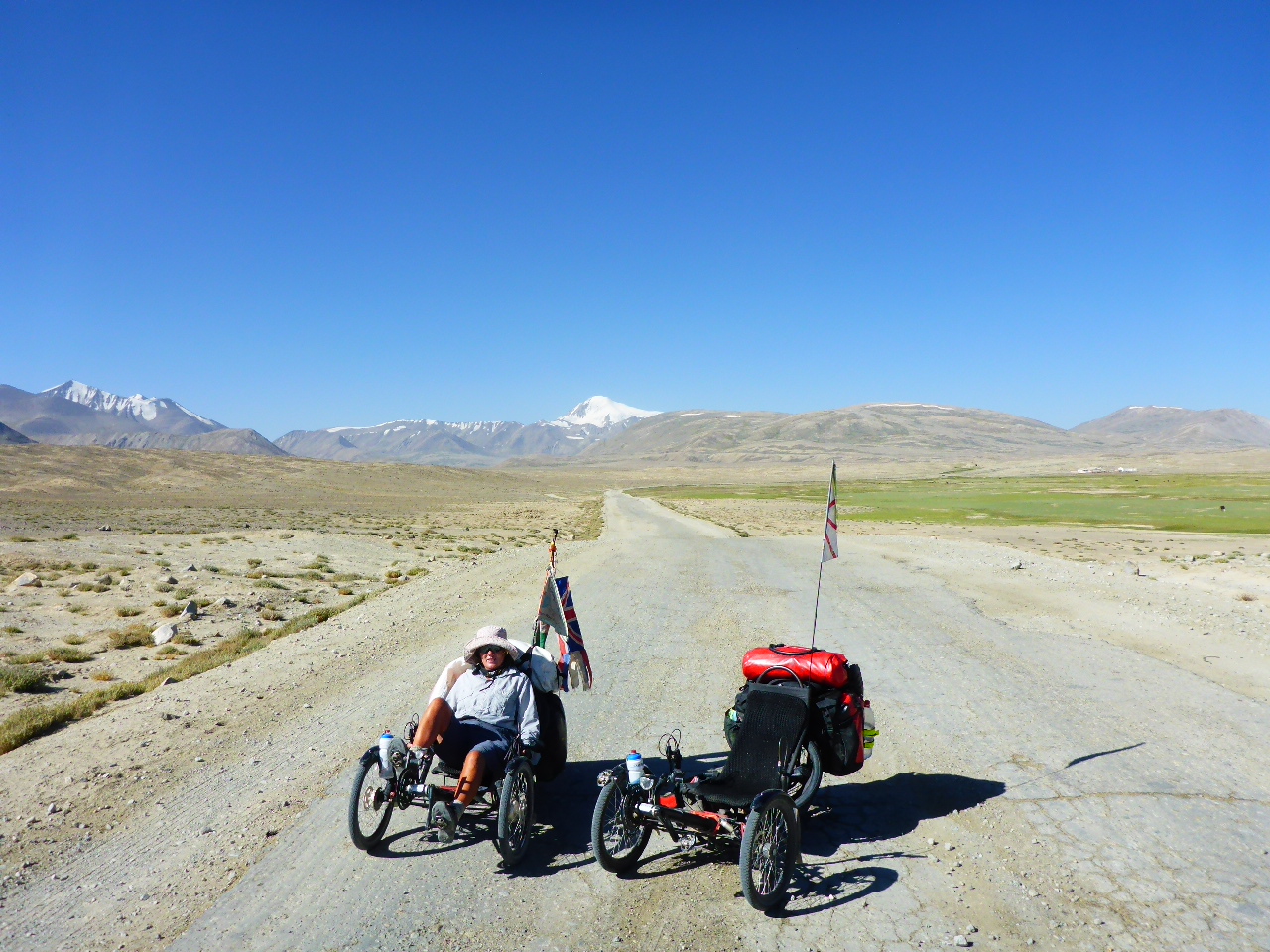
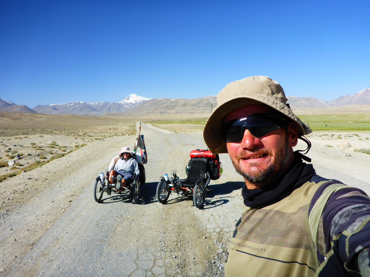
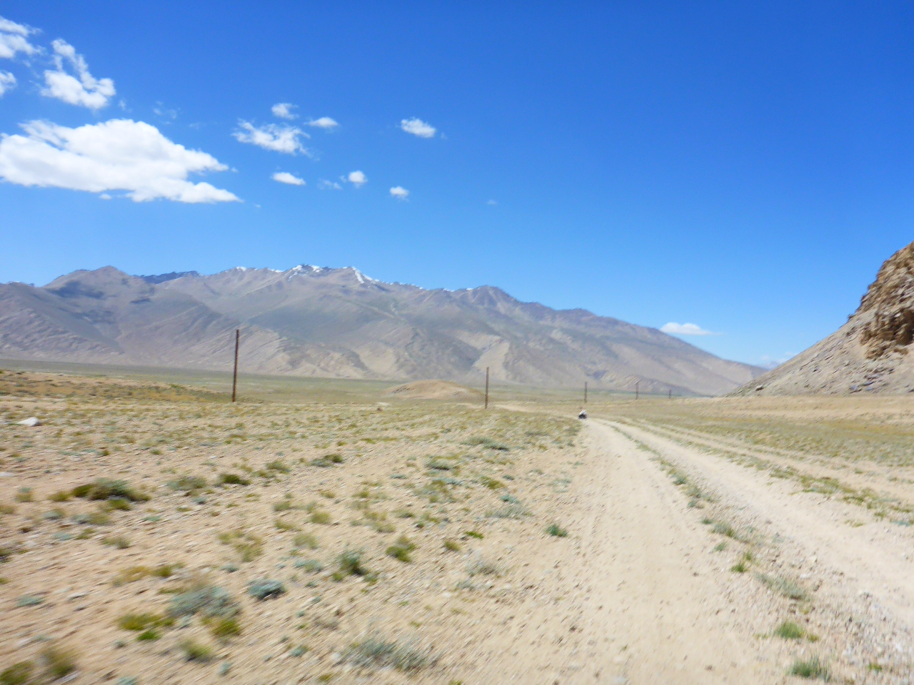
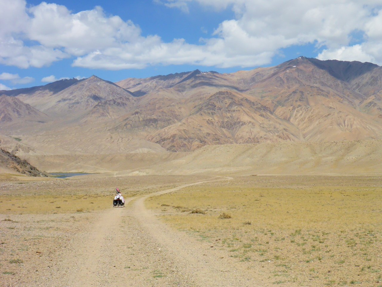
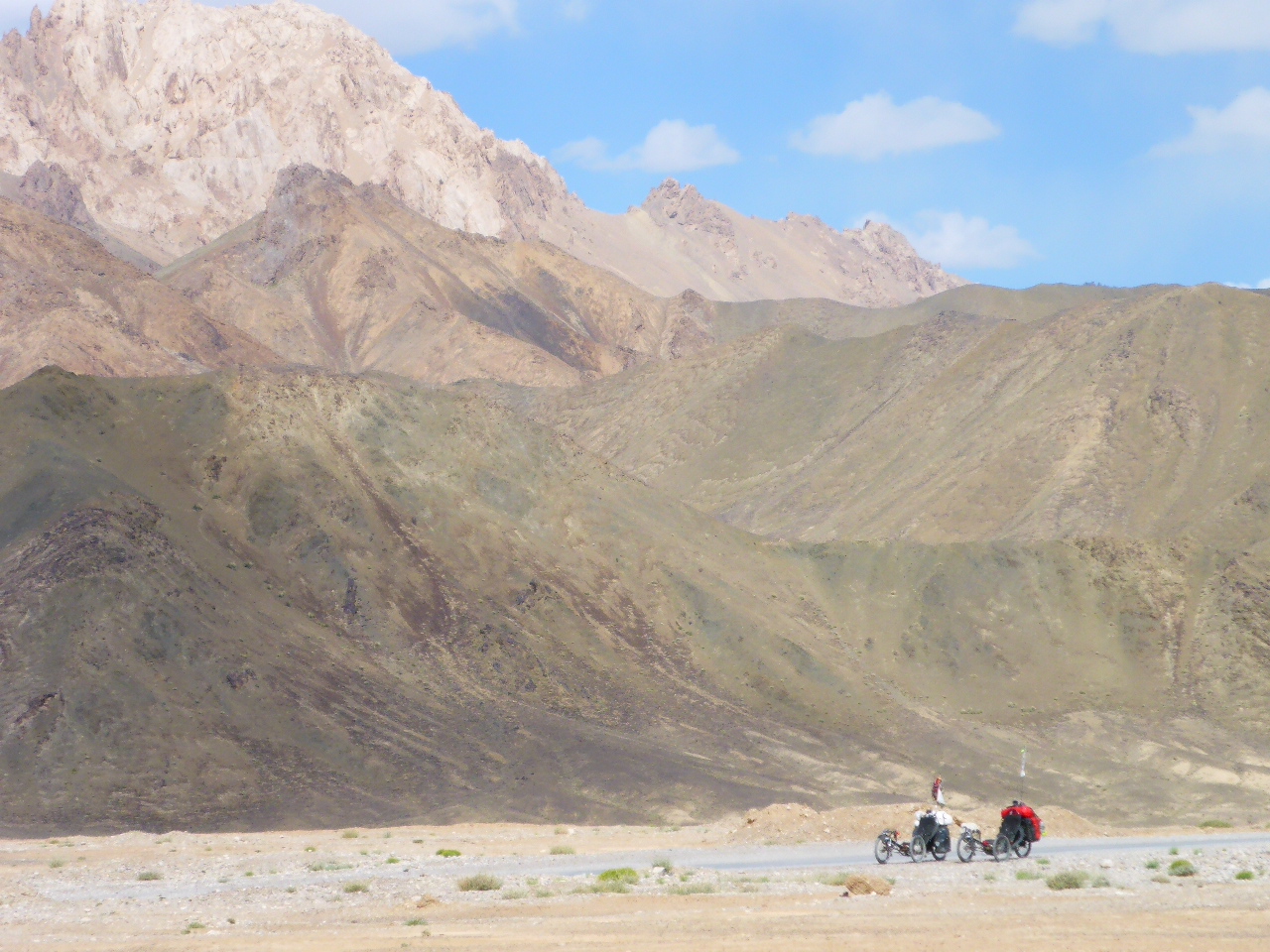
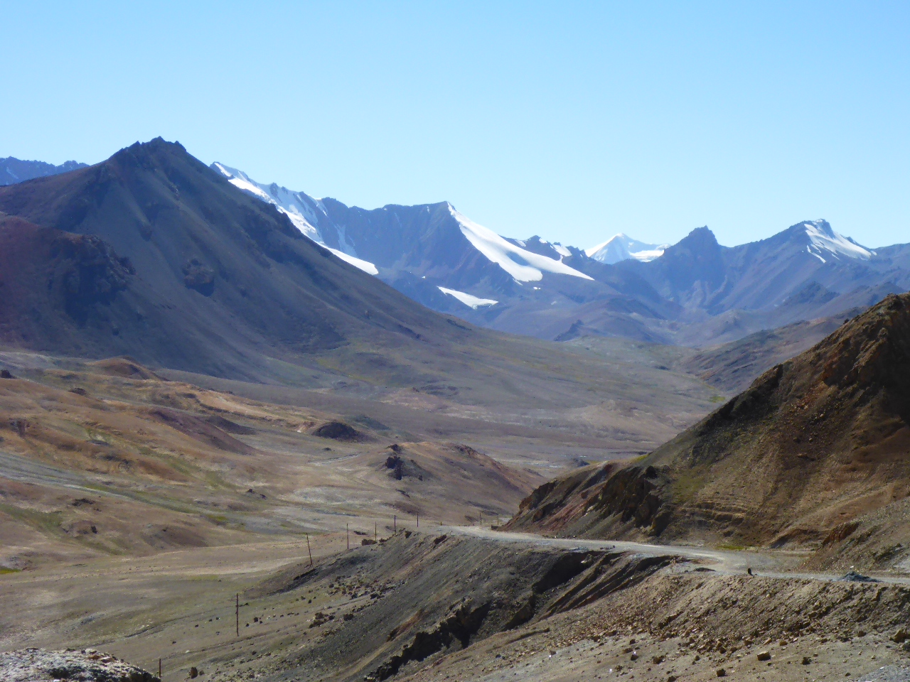
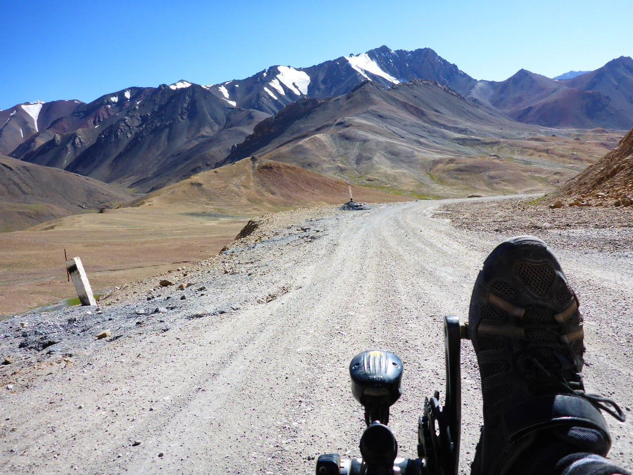
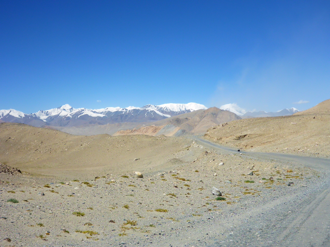
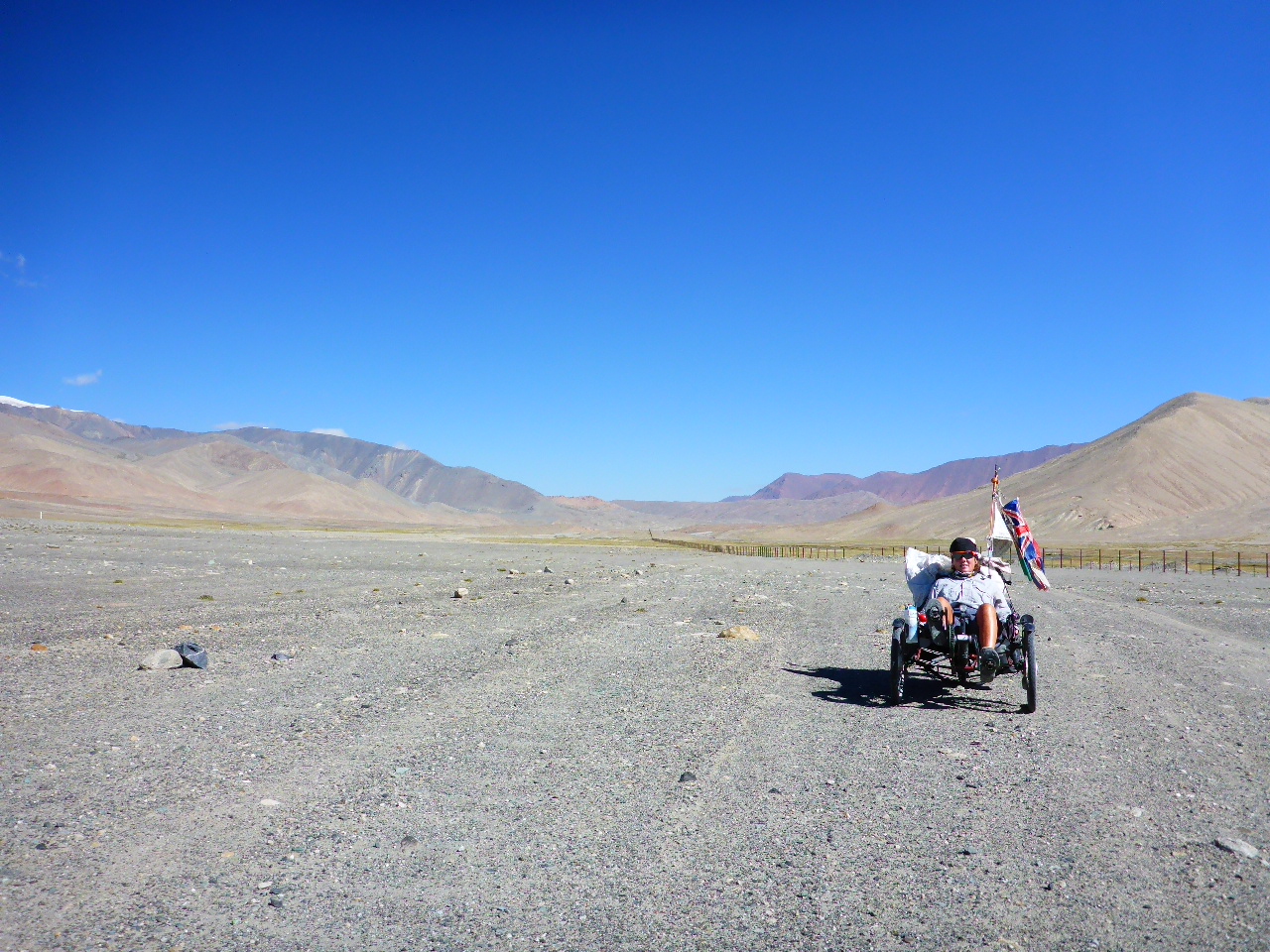
An incredibly tough off-road 30km to Alichur. It’s sandy and rocky but the views are stunning.
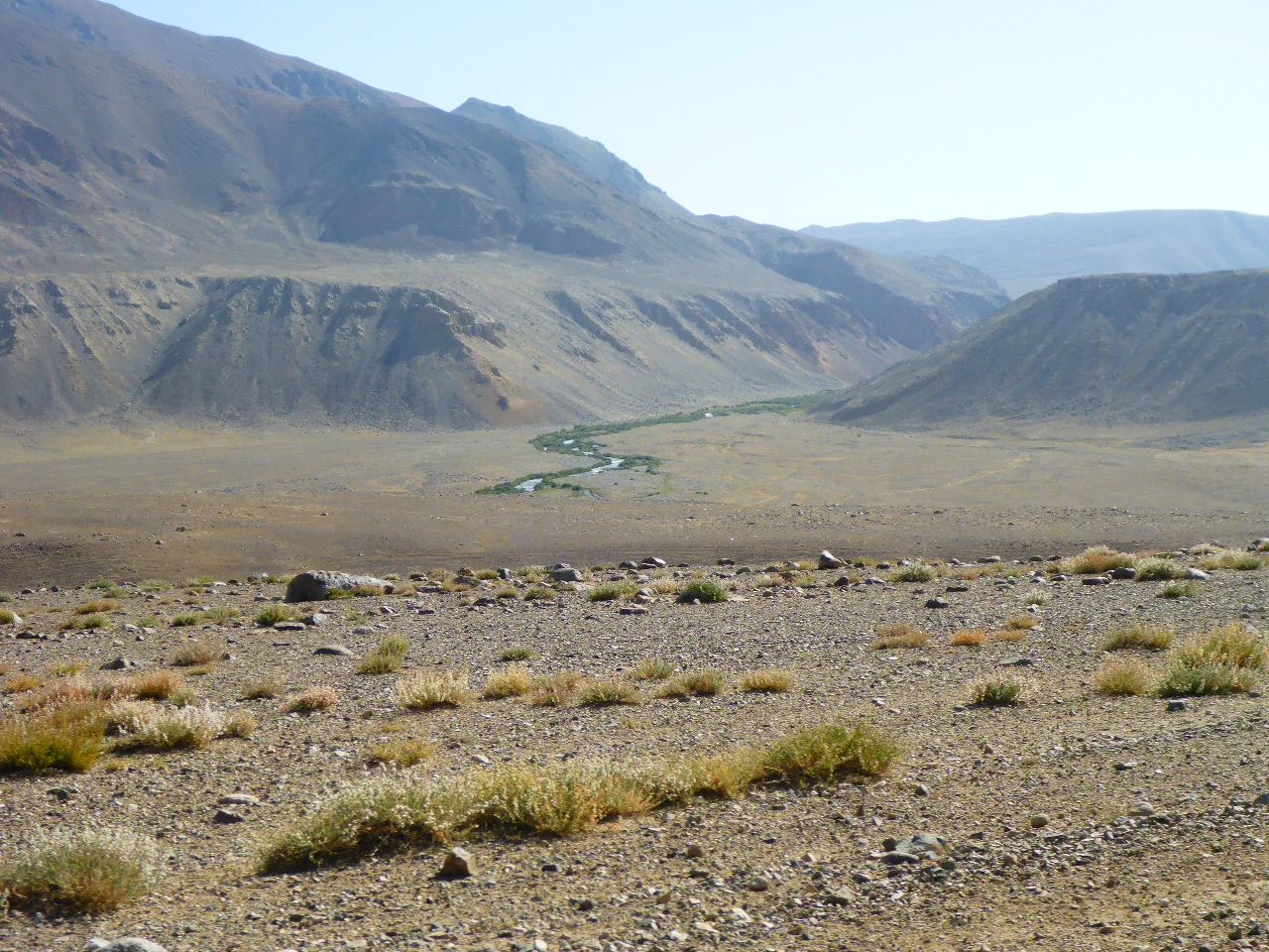
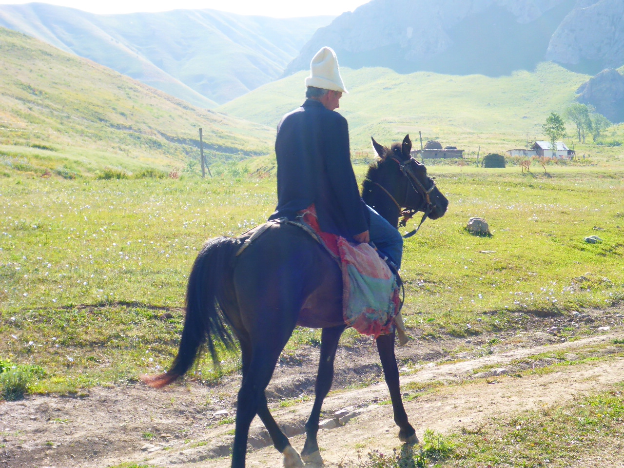
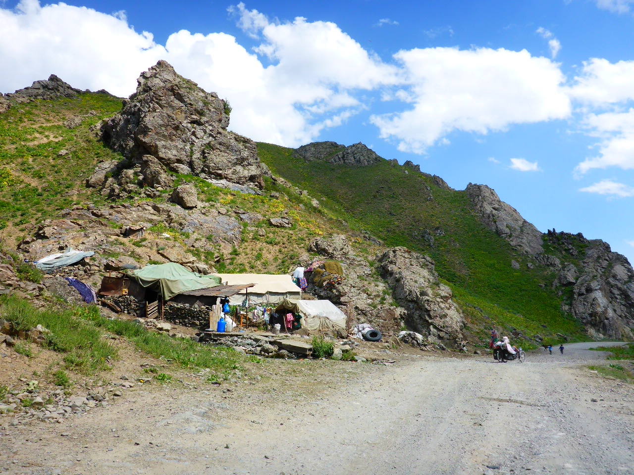
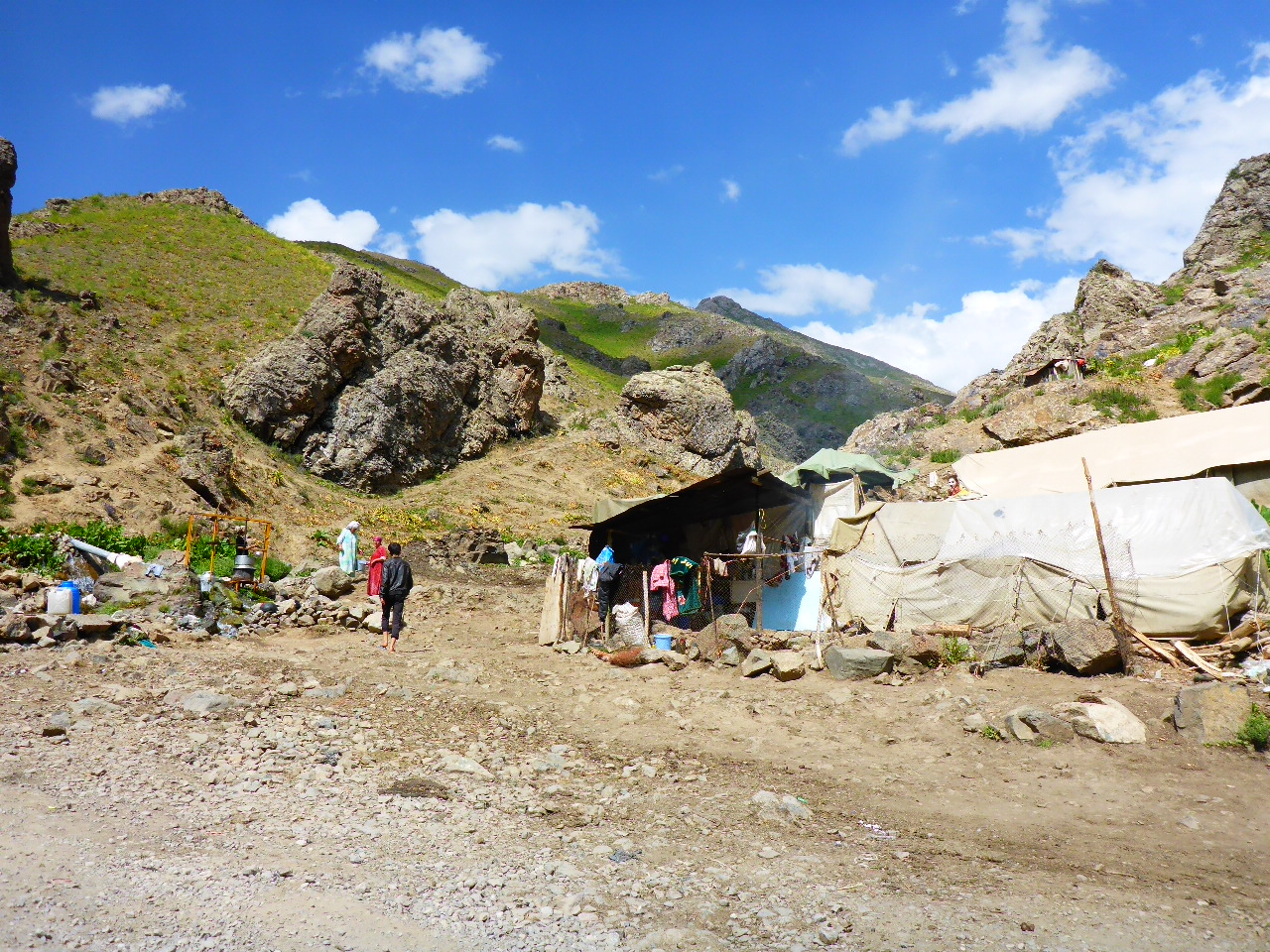
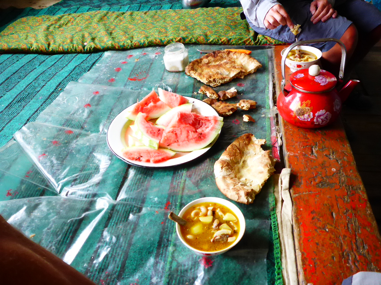
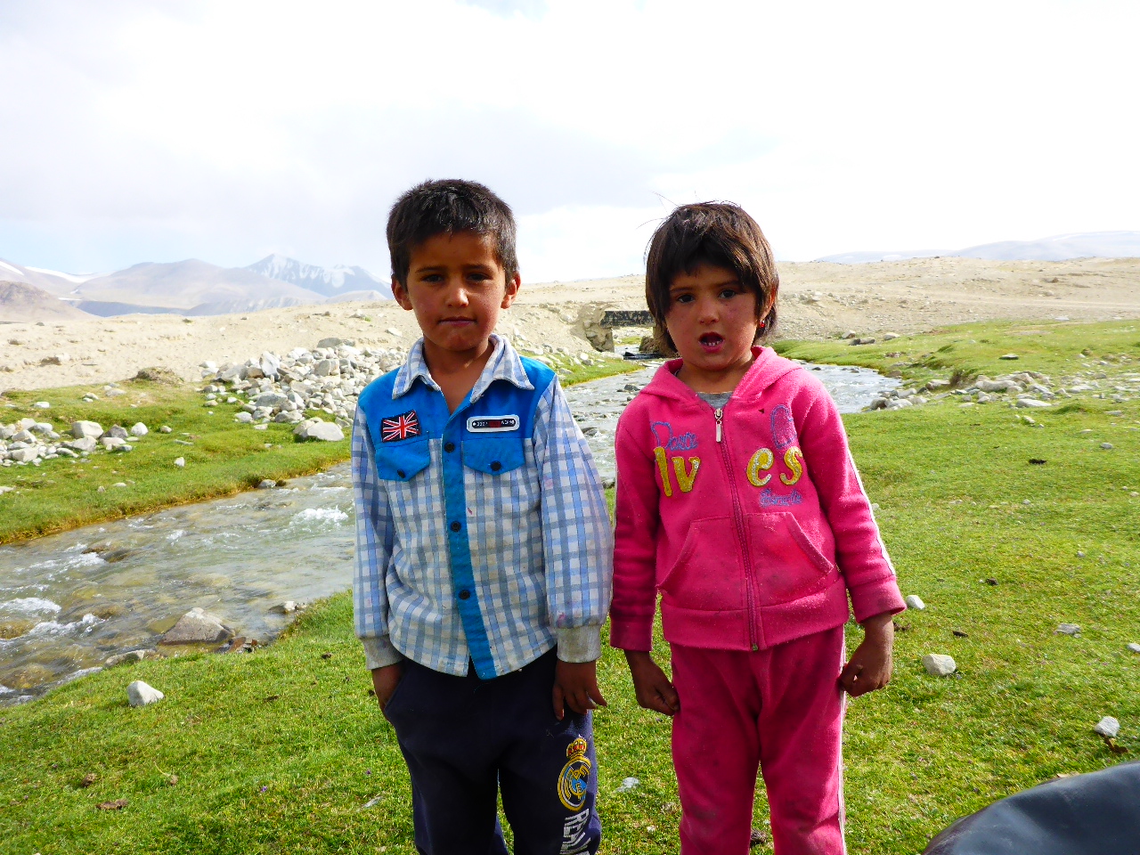
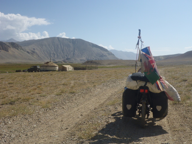
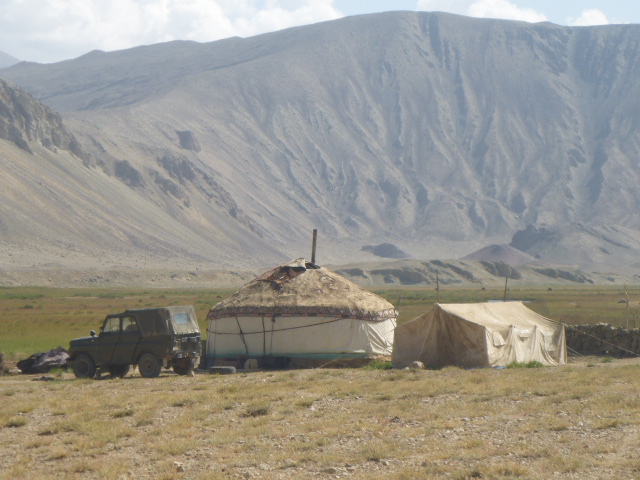
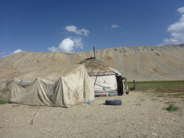
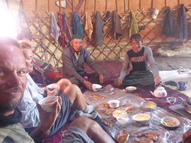
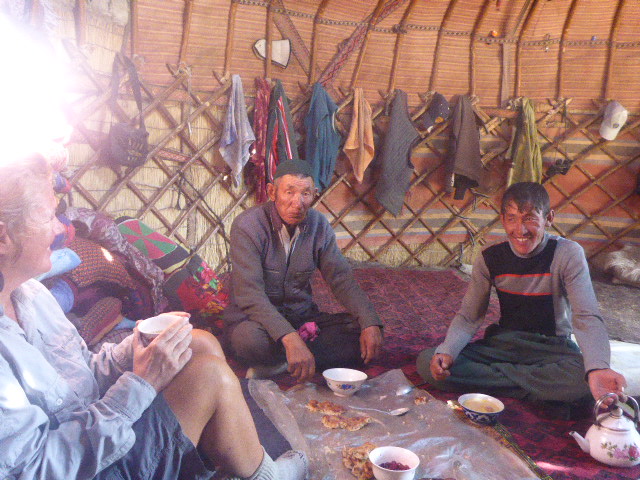
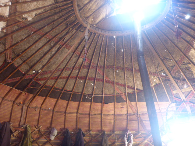
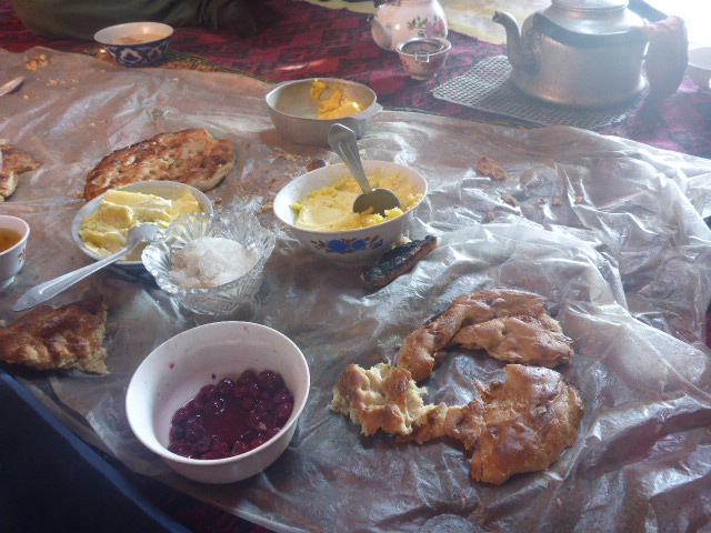
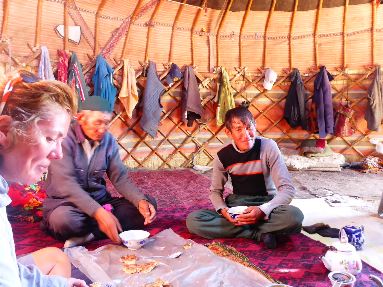
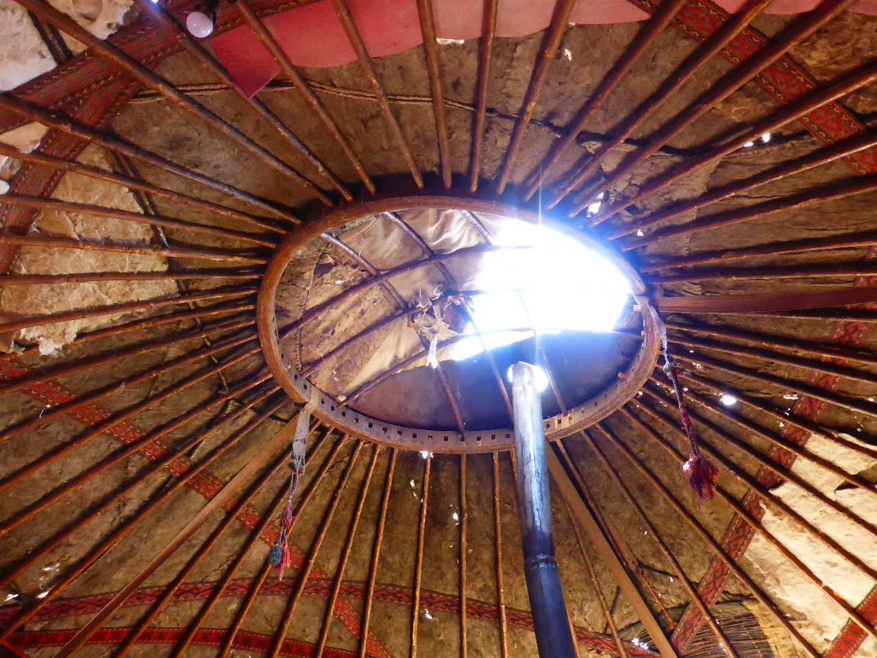
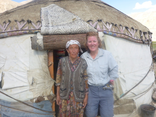
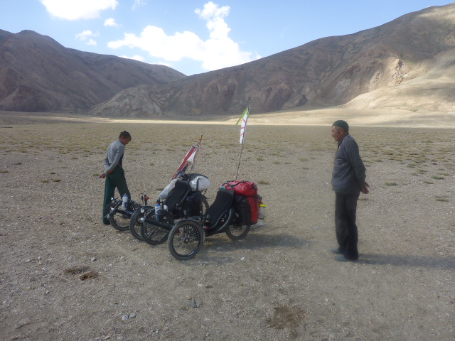
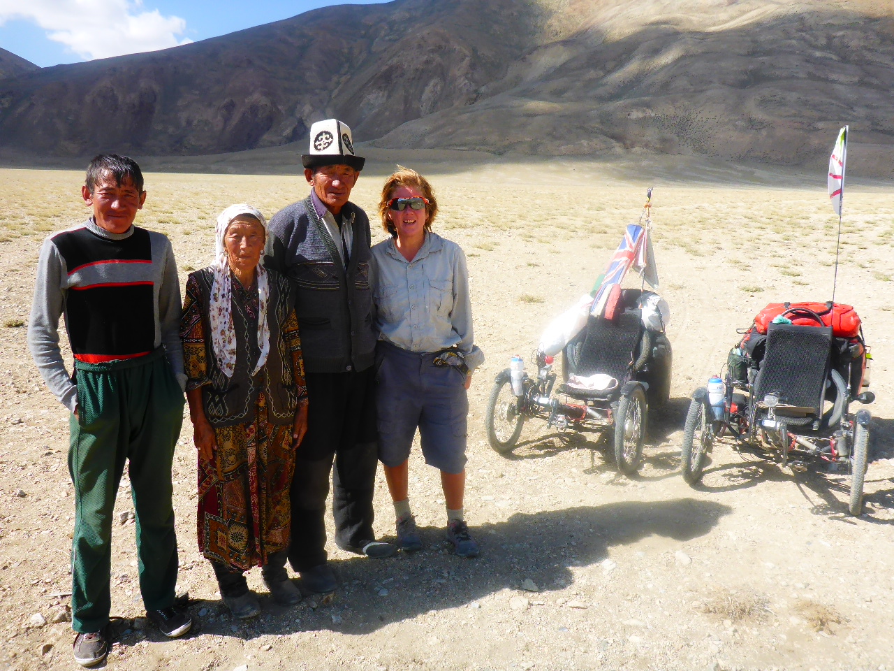
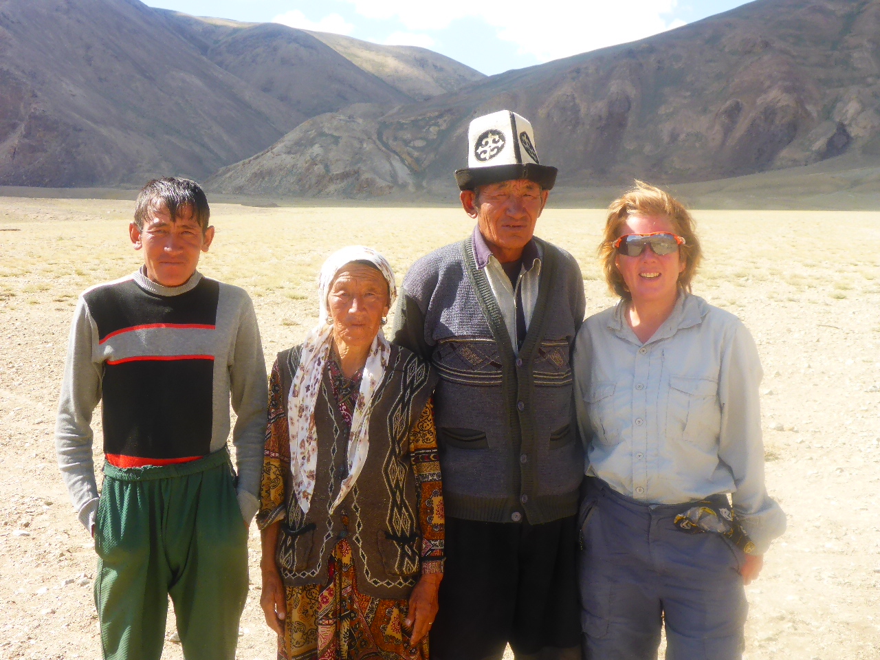
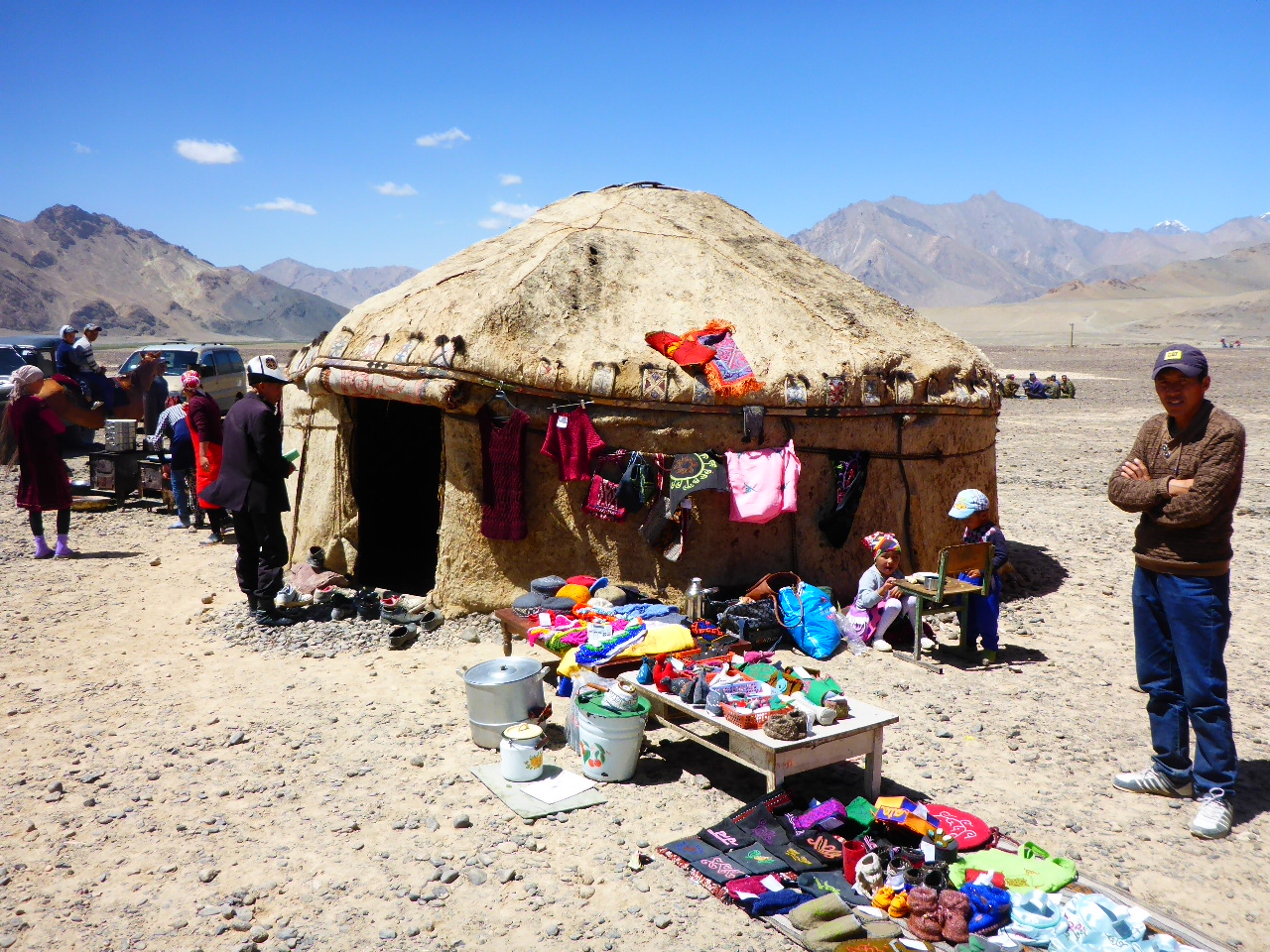
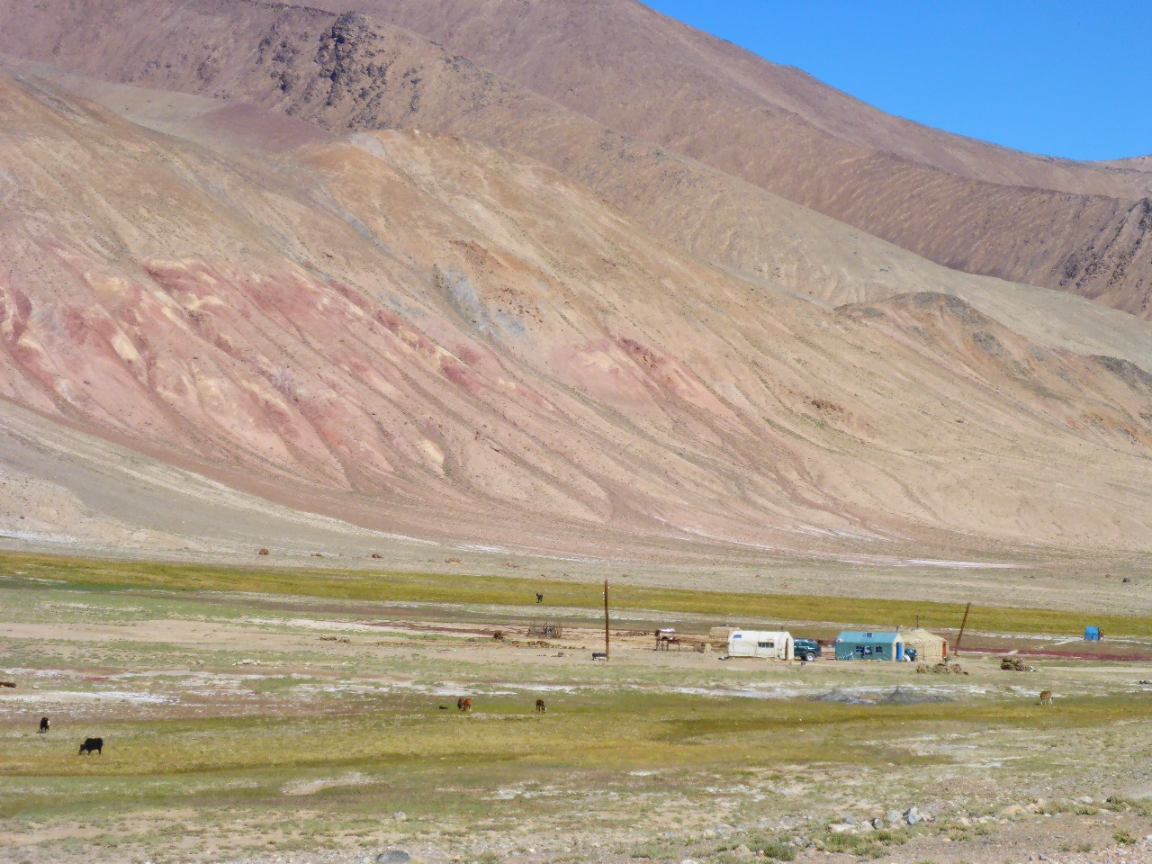
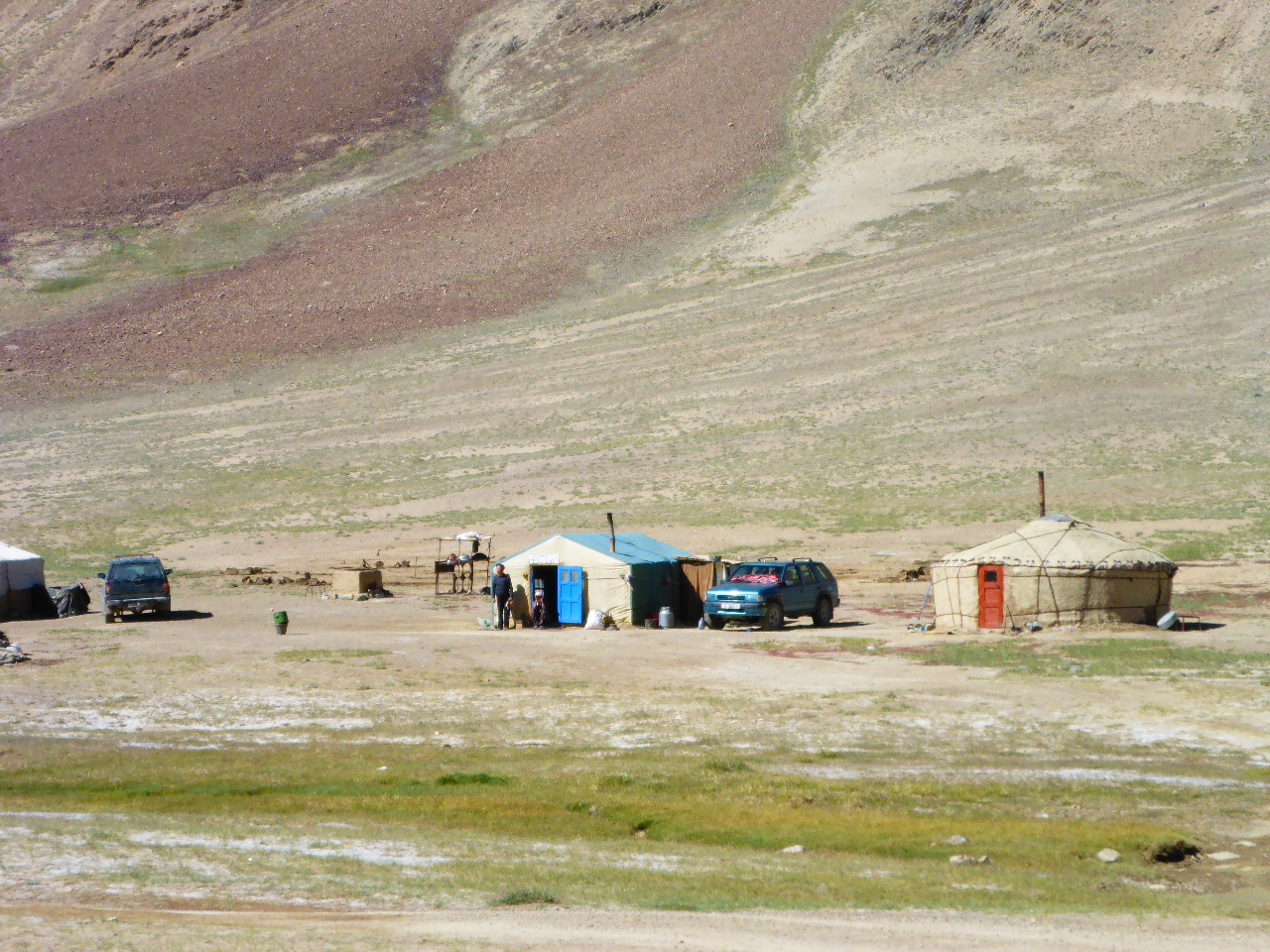
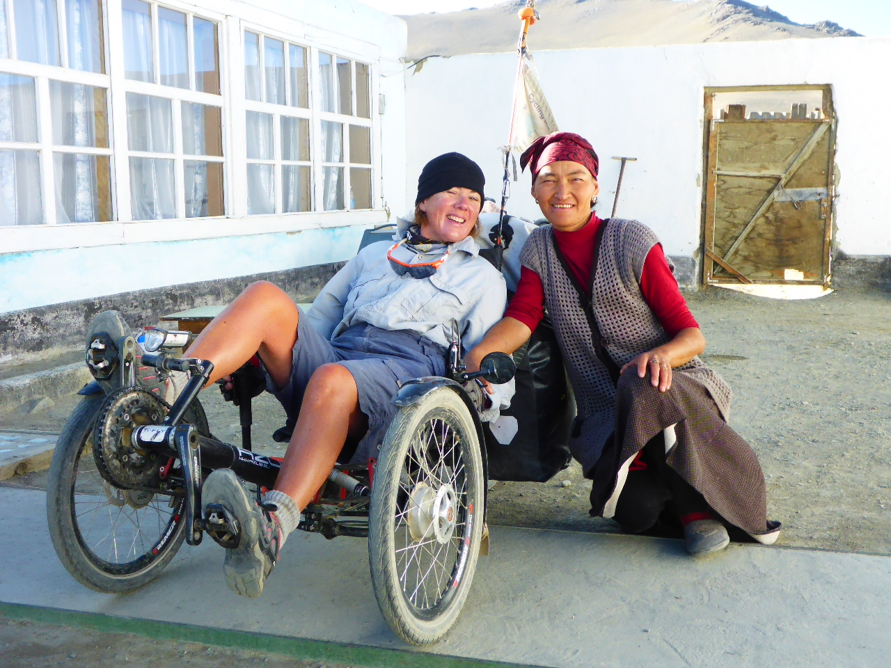
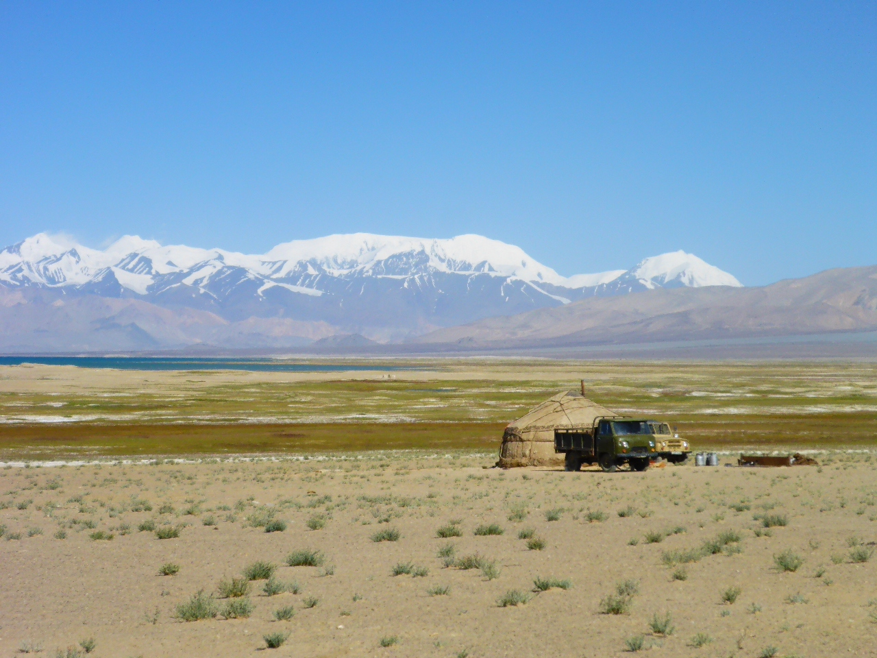
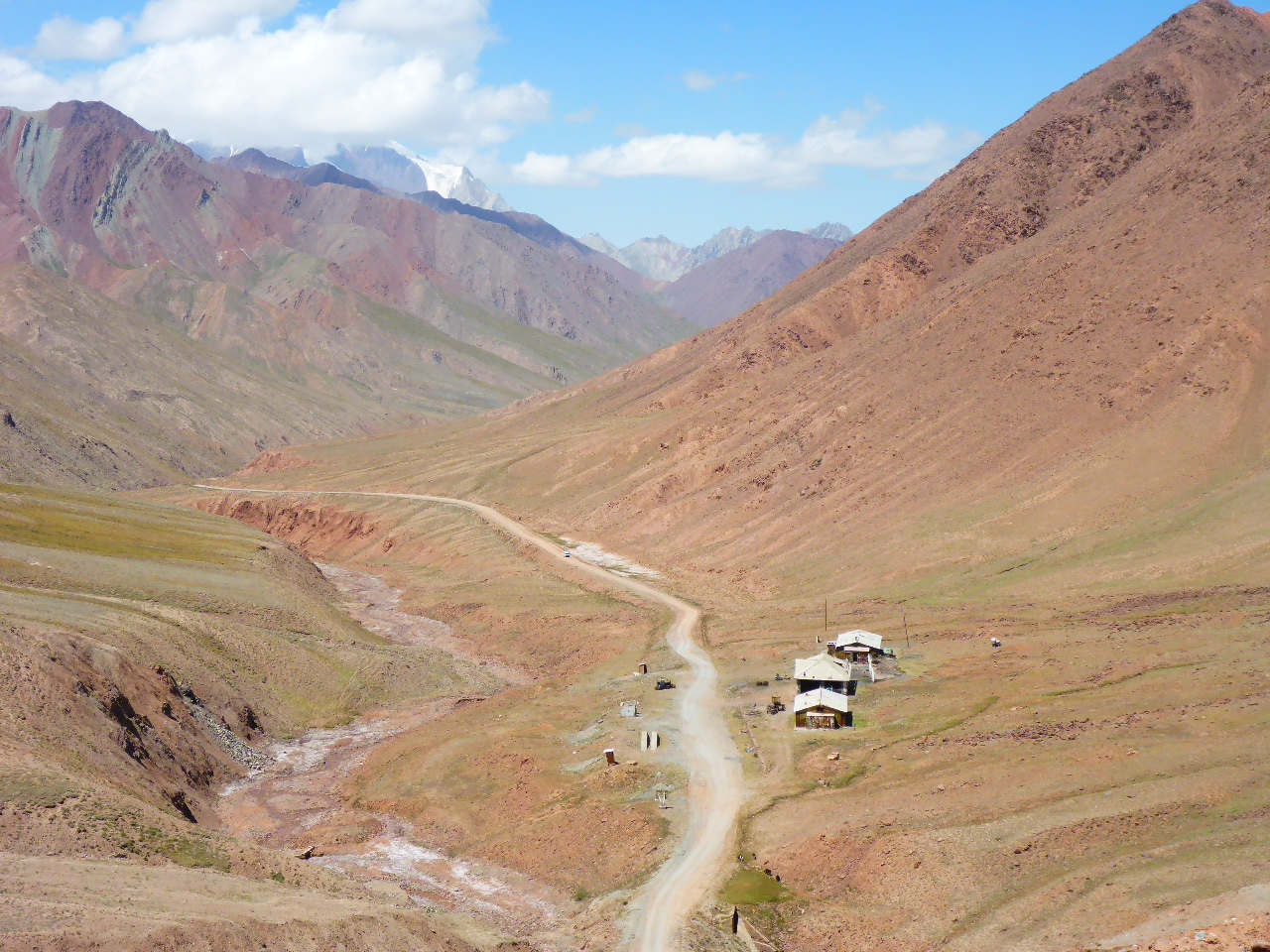
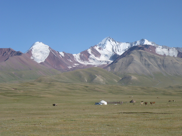
After 10km we pass a Yurt. We stop to say hello. There’s an old couple and their son. They invite us inside and we have numerous cups of çay and homemade bread, butter and jam and kaffir. We’re starving so we shovel as much down our faces as possible. What an incredible generous way to treat complete strangers. And we got to see their Yurt which they live in all year round. We also asked about the Marmots – they do snare them and eat them. I wonder if they’re tasty. Thank God we stopped because we’re desperately short of water so there’ll be no food until Alichur.
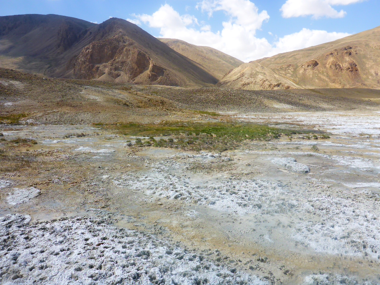
Just after the Yurt there’s a geyser but sadly it seems to have dried up.
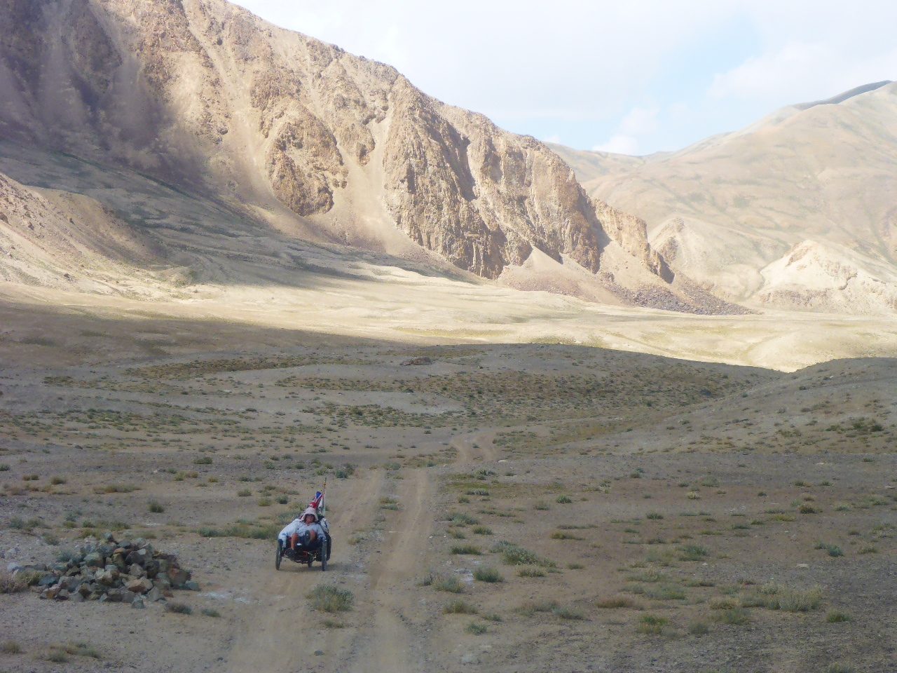
The next 20km Daz says is like a roller coaster. Steep ups and downs with the challenge to get as much speed as possible downhill to make the up whilst steering around sharp rocks and dealing with horrendous camber. Loose sand has us skidding around corners, fun at times but so tough! Finally we see Alichur and we’re so overwhelmed that we made it in one piece!
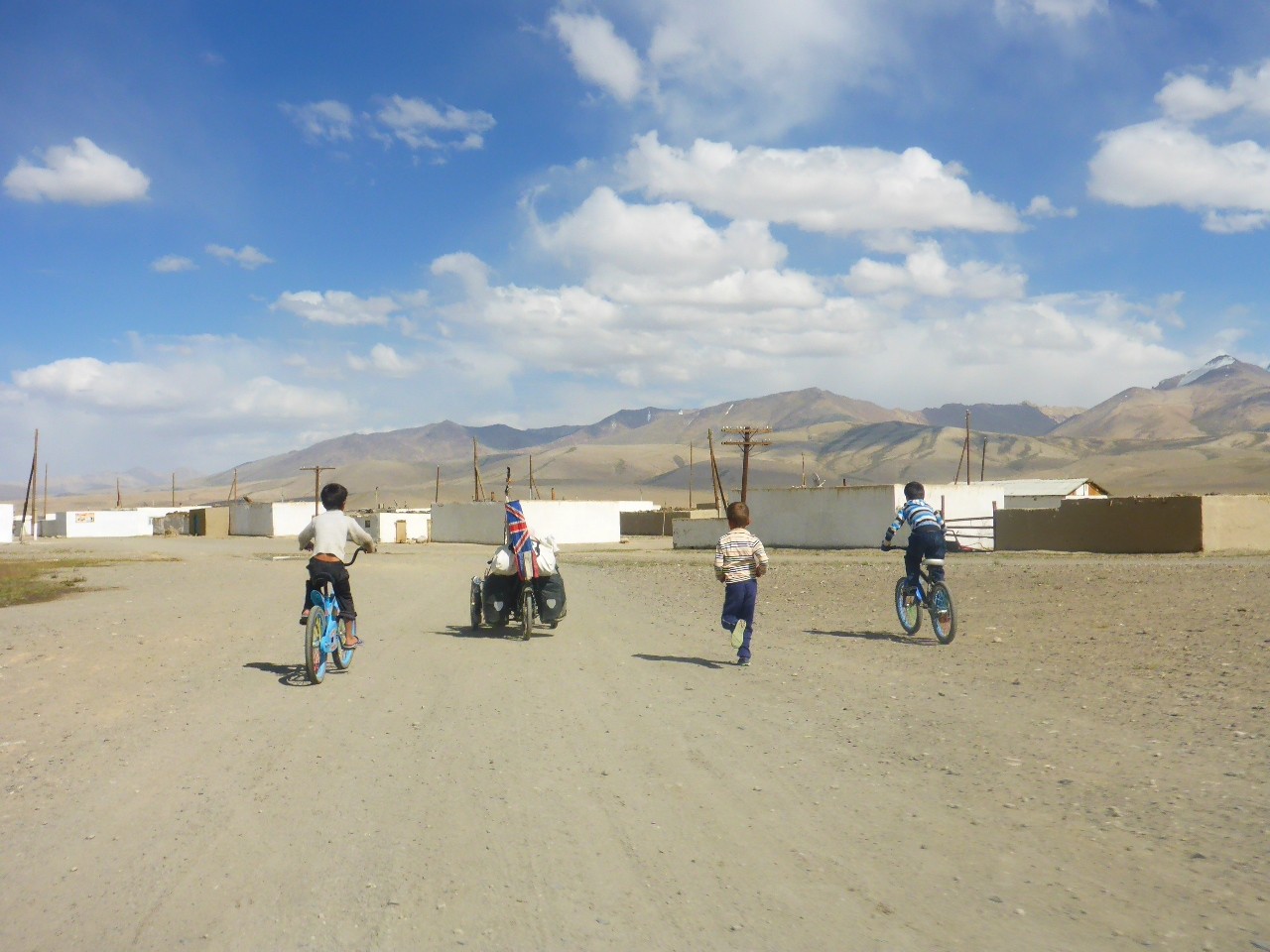
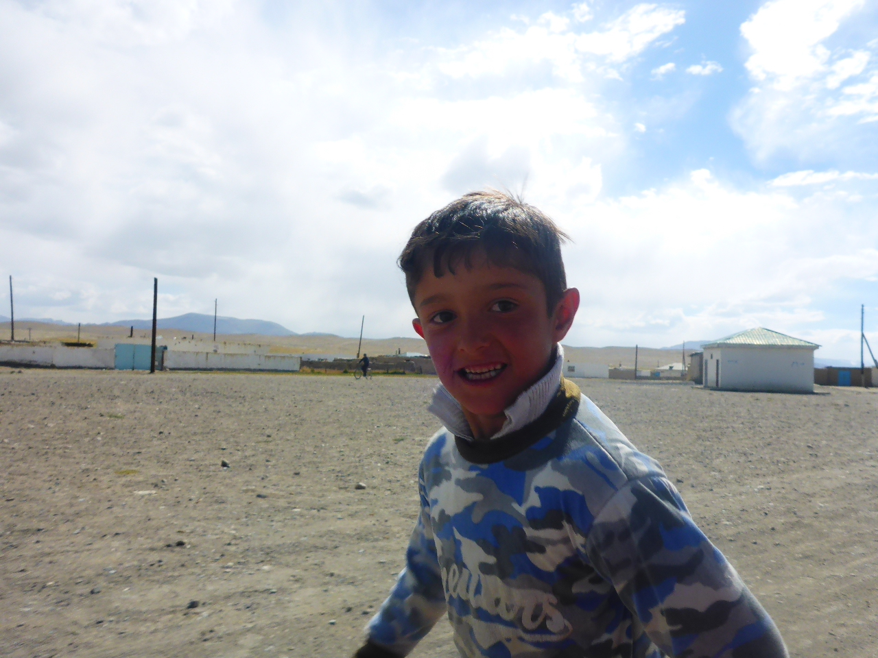
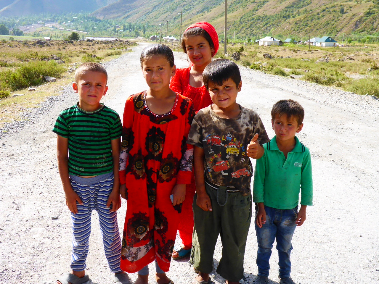
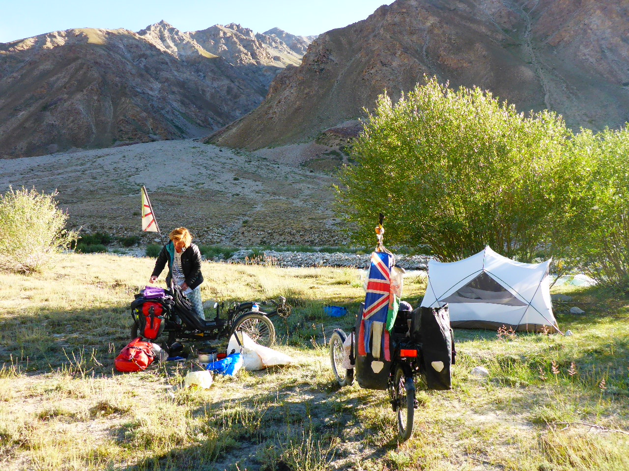
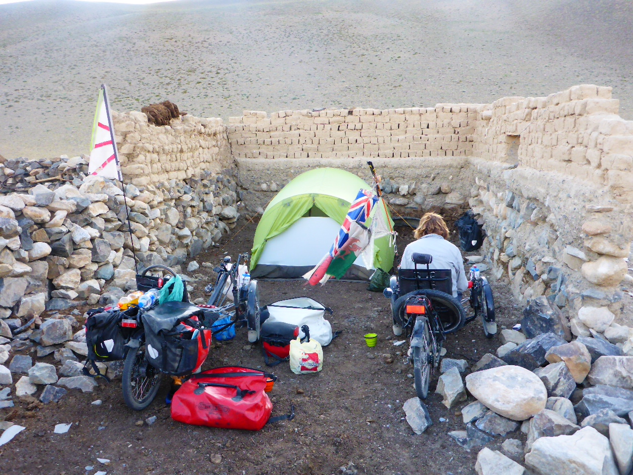
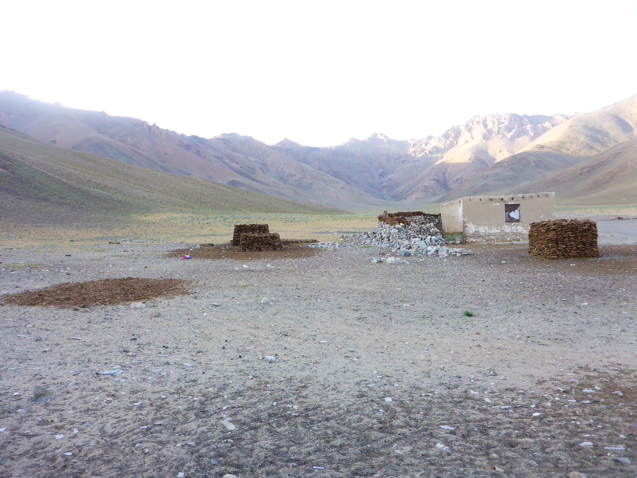
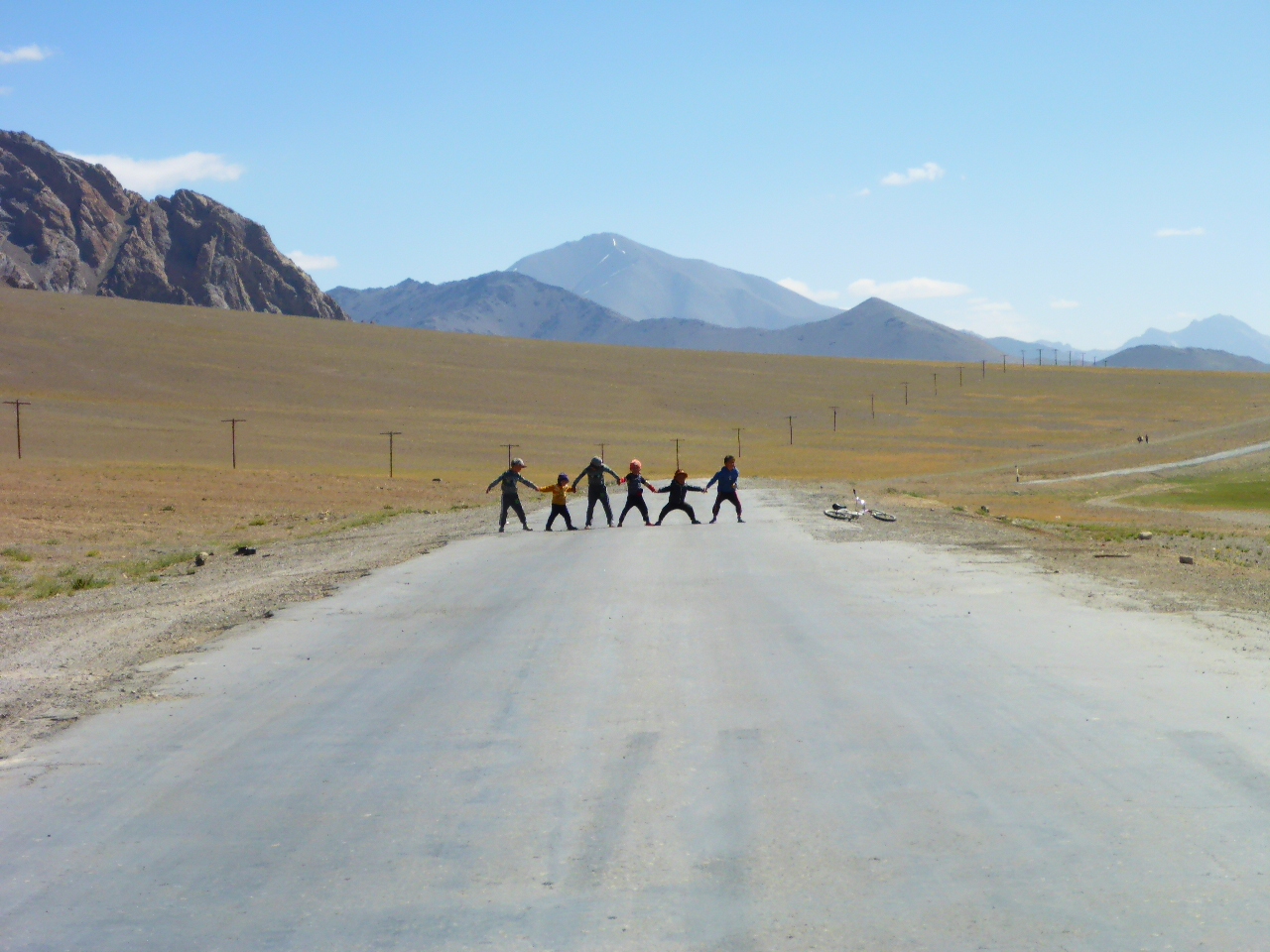
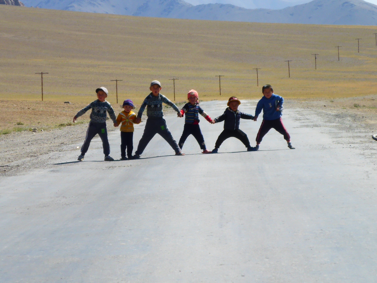
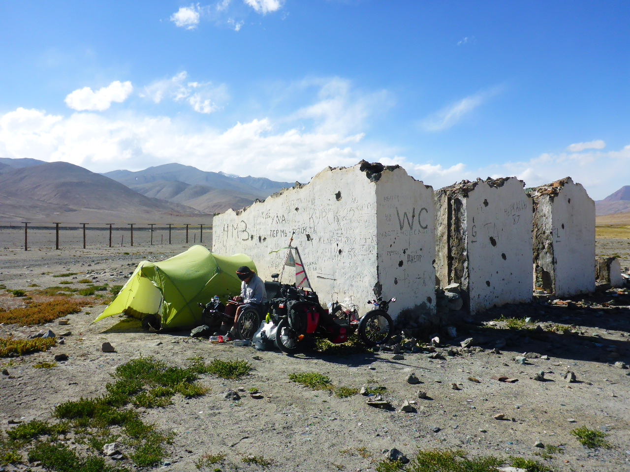
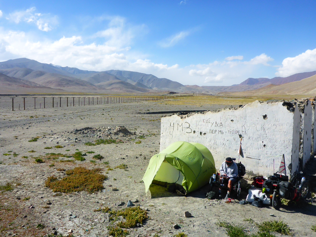
In the village we stop for food. Eggs and potatoes, salad and bread. After our meal we go on a shopping expedition. We’re escorted by a large group of children and there’s plenty of offers for a homestay but we decide to push on. We have a strong tailwind and good tarmac so, for the first time in days, we make great progress. We had planned to camp by the river but it’s in a wide, flat valley that acts like a wind tunnel. Too exposed for my taste so we forego the river wash and push on until we spot some deserted buildings up a side valley. We find a relatively sheltered spot for our tent; we’ve seen grey clouds behind us so we think there may be rain or a storm later.

After such a filling lunch in Alichur we’re content to snack on biscuits and bread and chocolate spread with several cups of tea to wash it all down. And then to bed, it’s been a really tough day today so hopefully we’ll sleep like the dead!
Friday 11th August – Bash Gumbez to 14km before Murghab
Distance: 70.00 km
Total Distance: 16022.82 km
The rain/storm didn’t materialise last night but the wind was gusting around our tent so we were glad of the shelter we had. Then it’s back into the huge wind tunnel up to the pass – Neizatash Pass at 4136 m. Thank goodness it was a tailwind probably 25mph so even on the climbs we managed to keep a good pace.
After the pass we have glorious views and a glorious downhill. This is the bit I love about cycling.
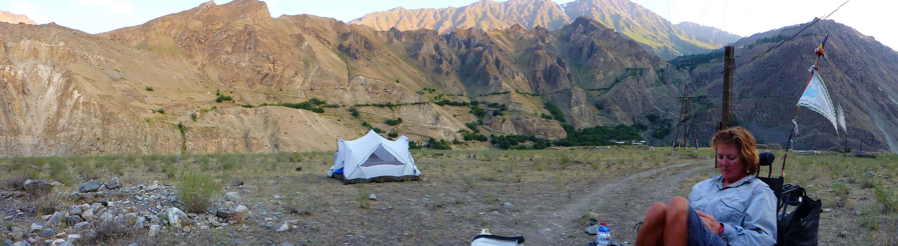
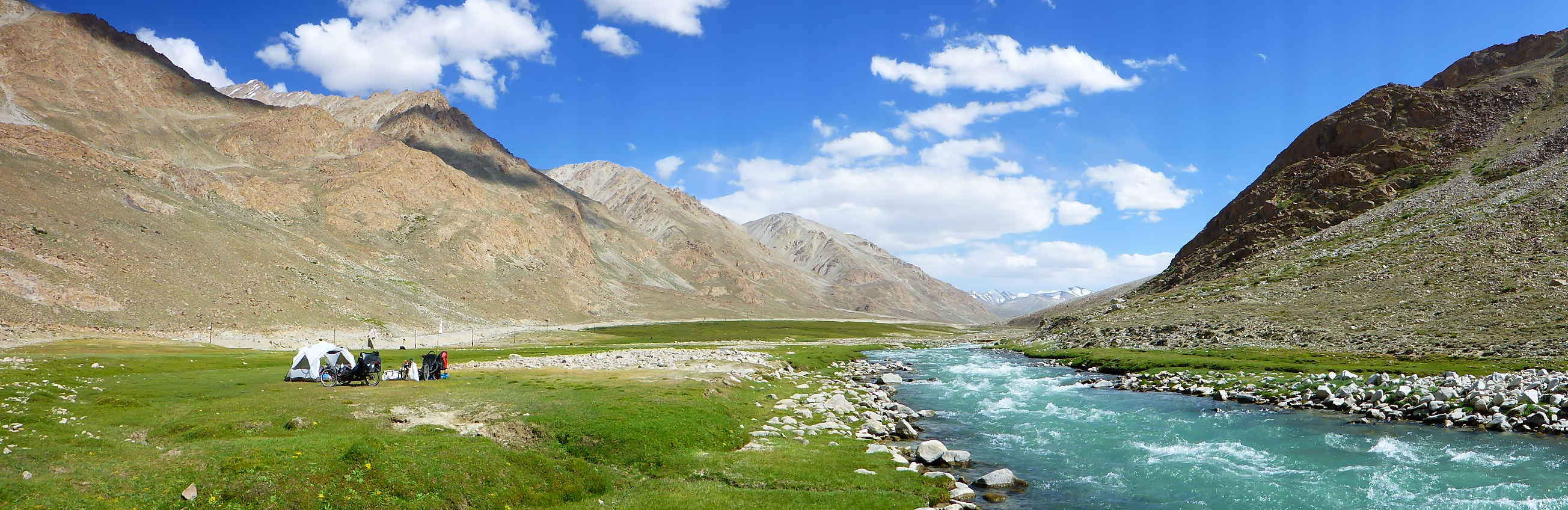
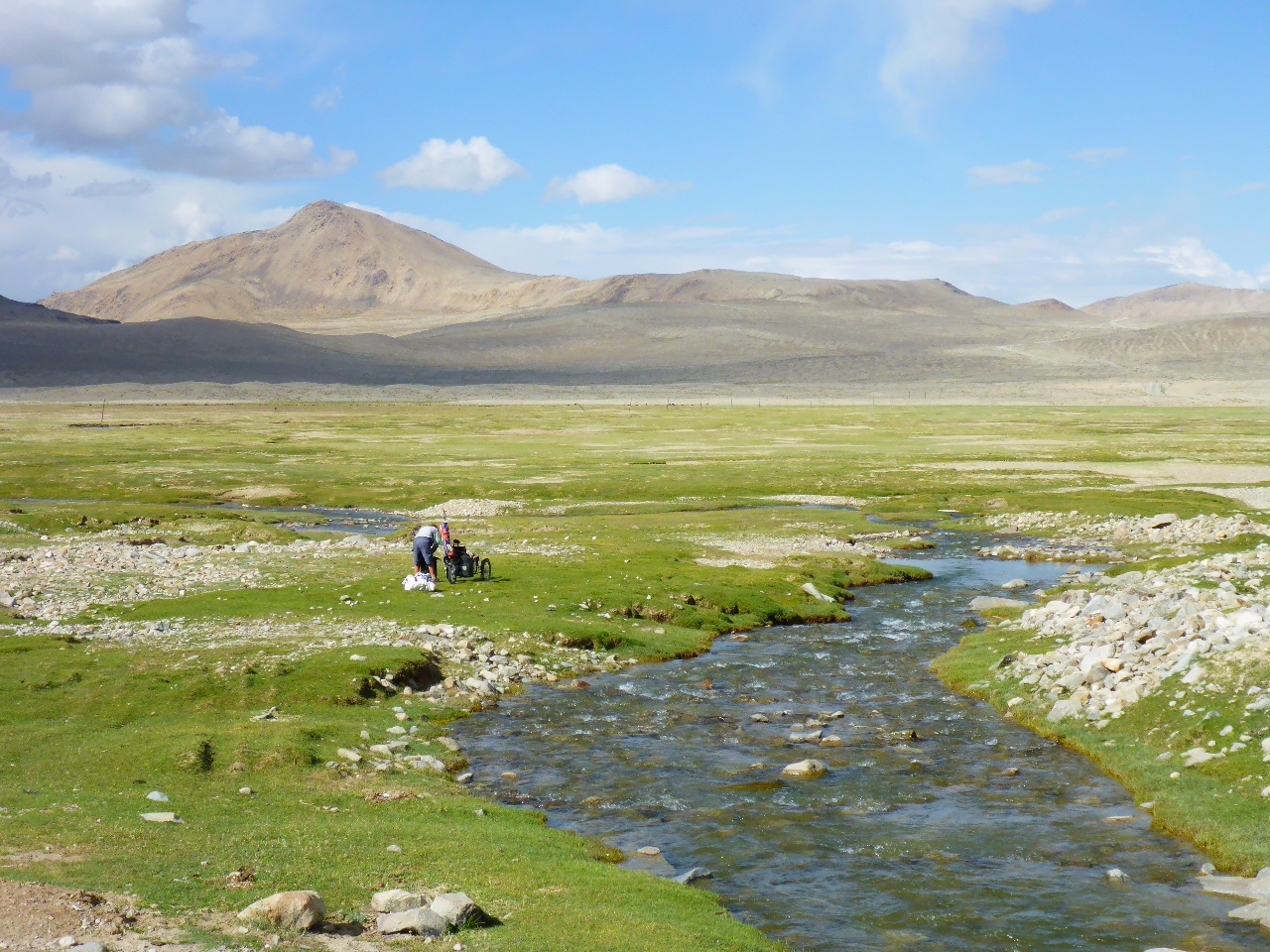
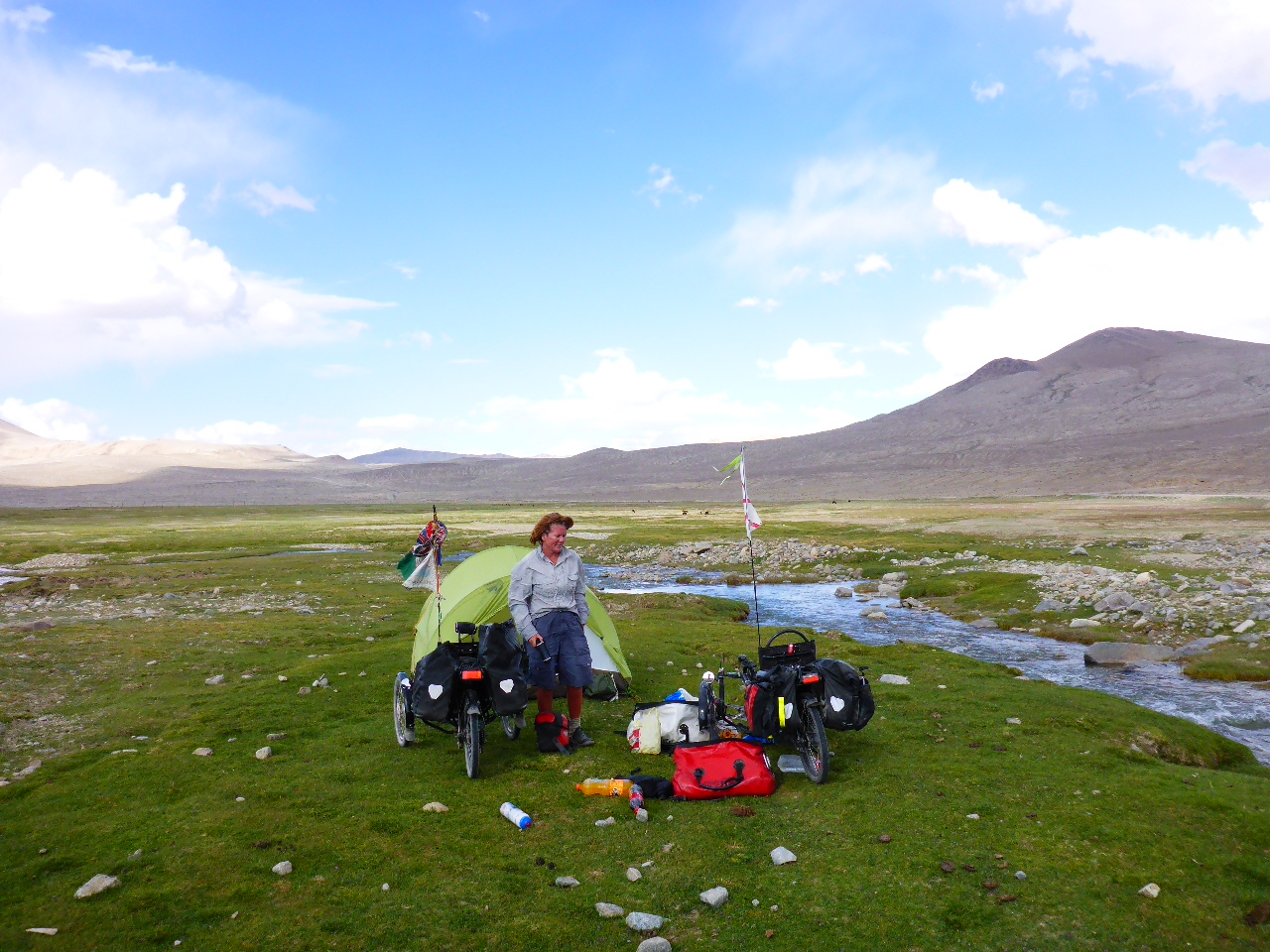
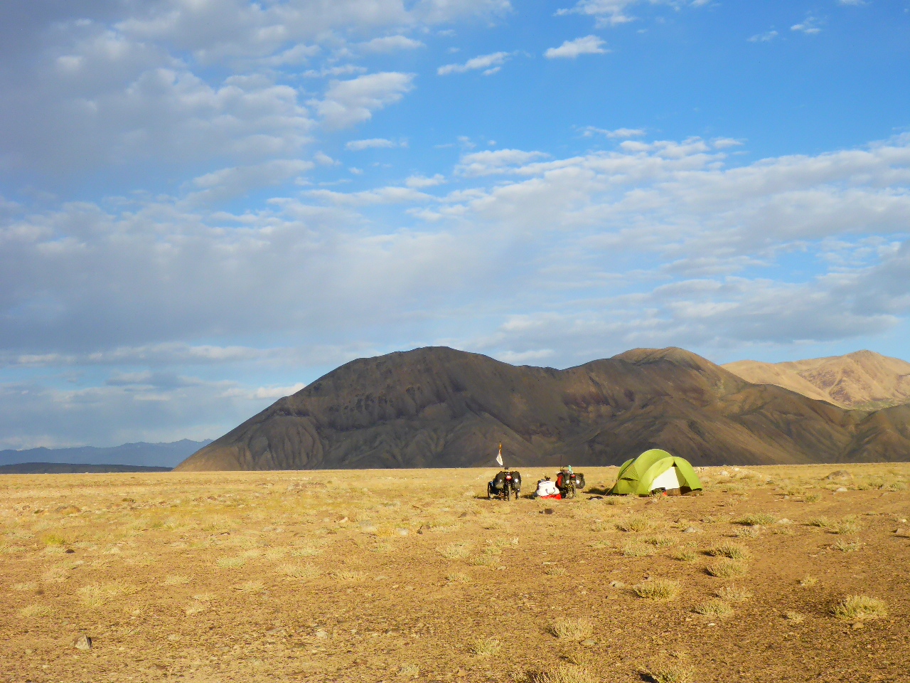
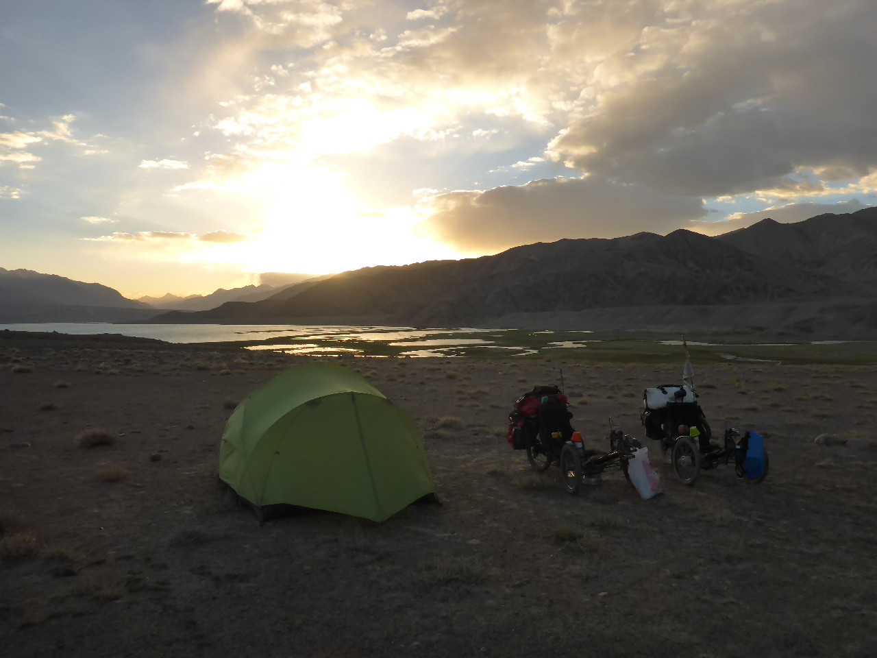
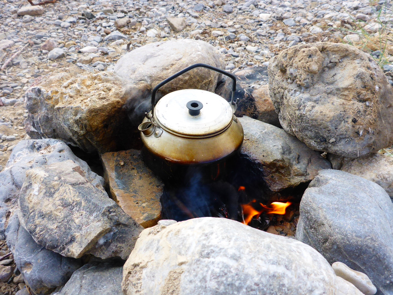
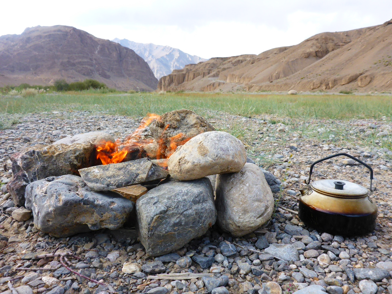
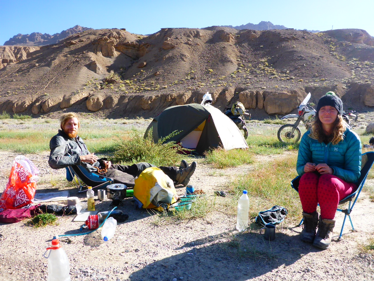
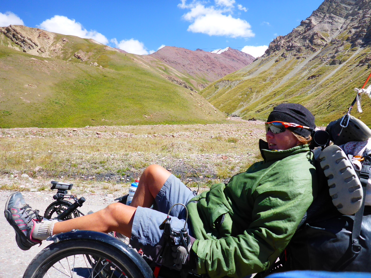
The vague intention was to push on to Murghab but we spot a beautiful camping spot by the river and decide to call a halt to proceedings. Whilst I’m writing Daz is busy finding his caveman roots and building a bonfire! He even manages to put the kettle on and successfully makes a brew on the bonfire.
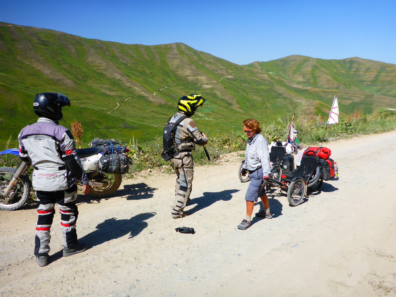
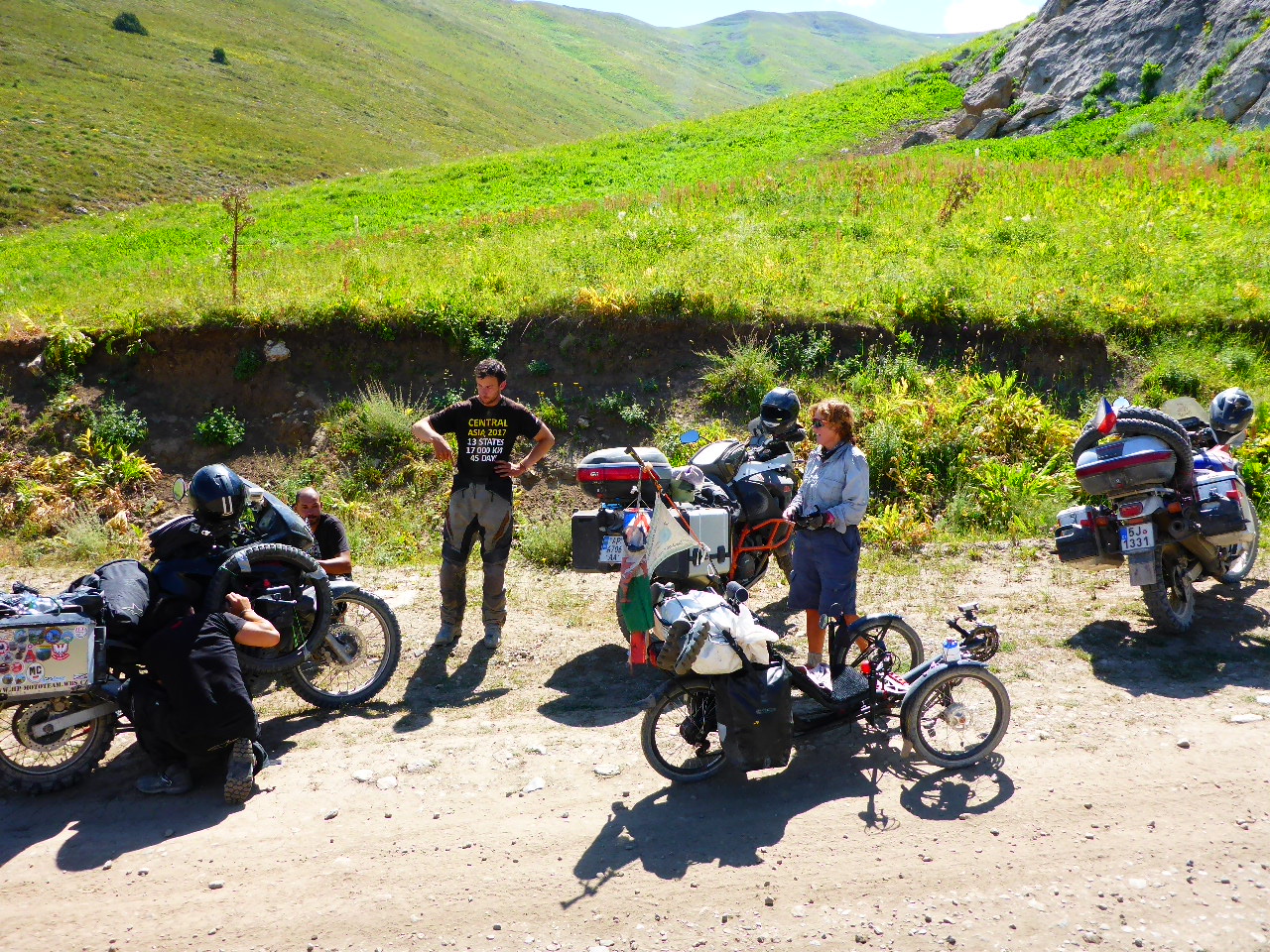
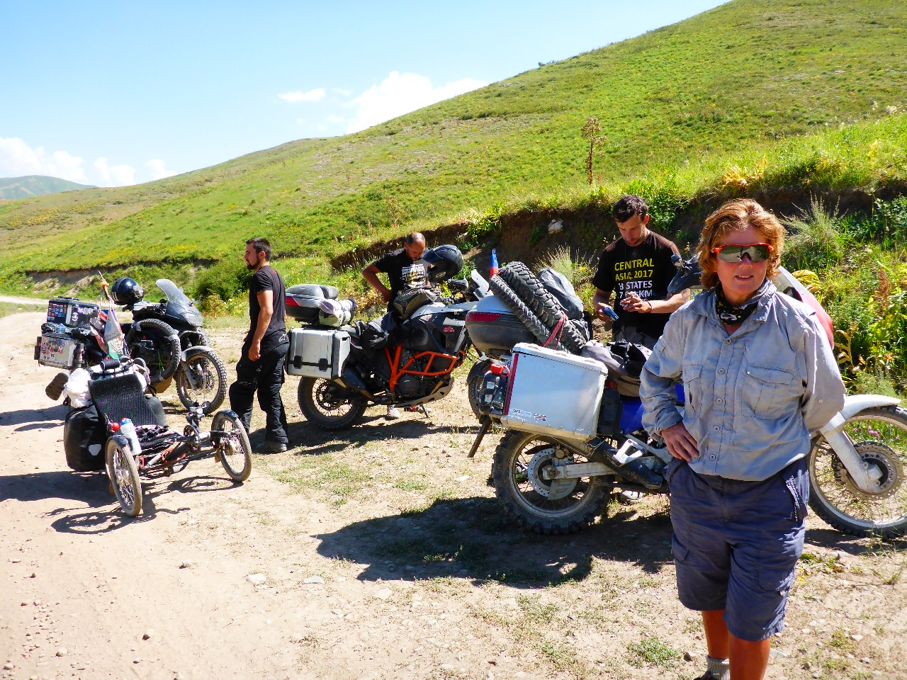
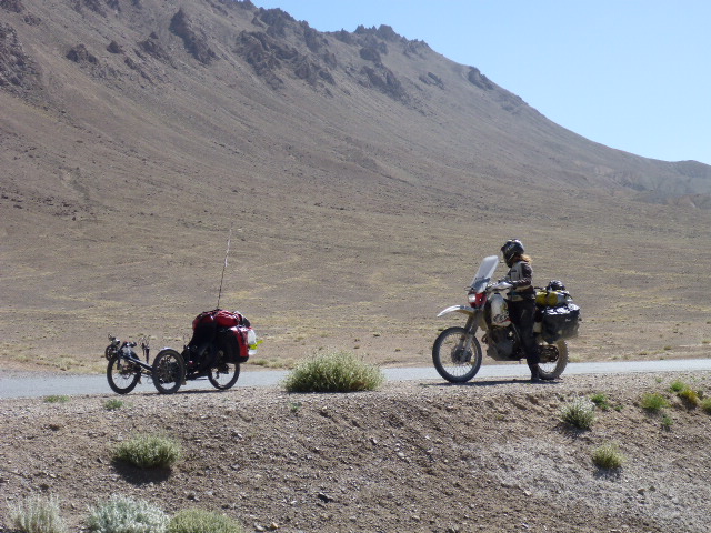
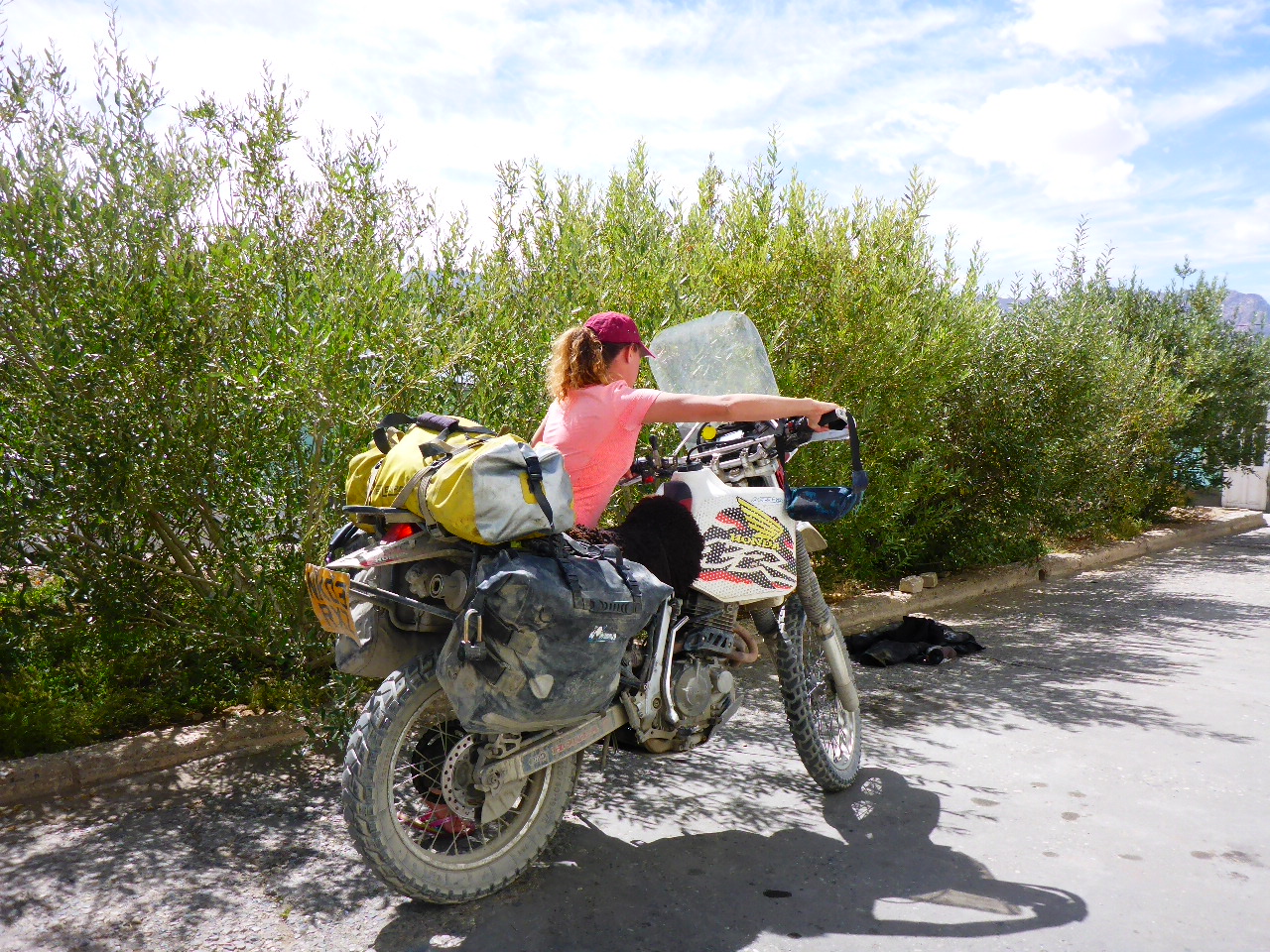
Further down river we notice two motorbikes trying to get to a decent camping spot. Daz wanders over and shows them the slip road into our campsite, so they come and join us. Ryan and Lottie are from the UK and have been motorbiking for the last 5 months. They camp across from us and then join us around the bonfire to chat whilst they cook their food. It’s great talking to fellow Brits after so long and the conversation ranges from what we miss at home to what we have loved and experienced on the road. It’s way past bedtime by the time we finish nattering and call it a night.
Highest Altitude 4270 metres
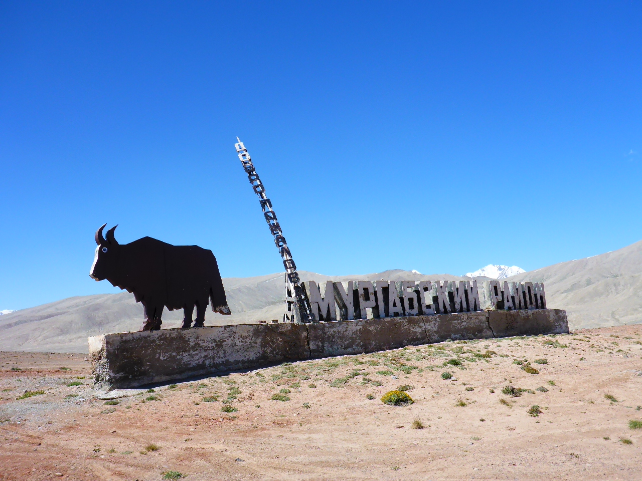
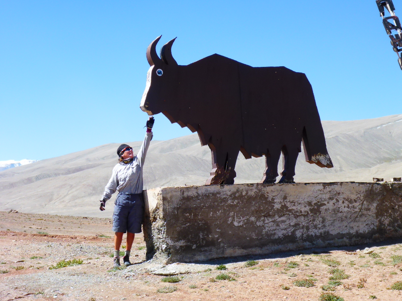
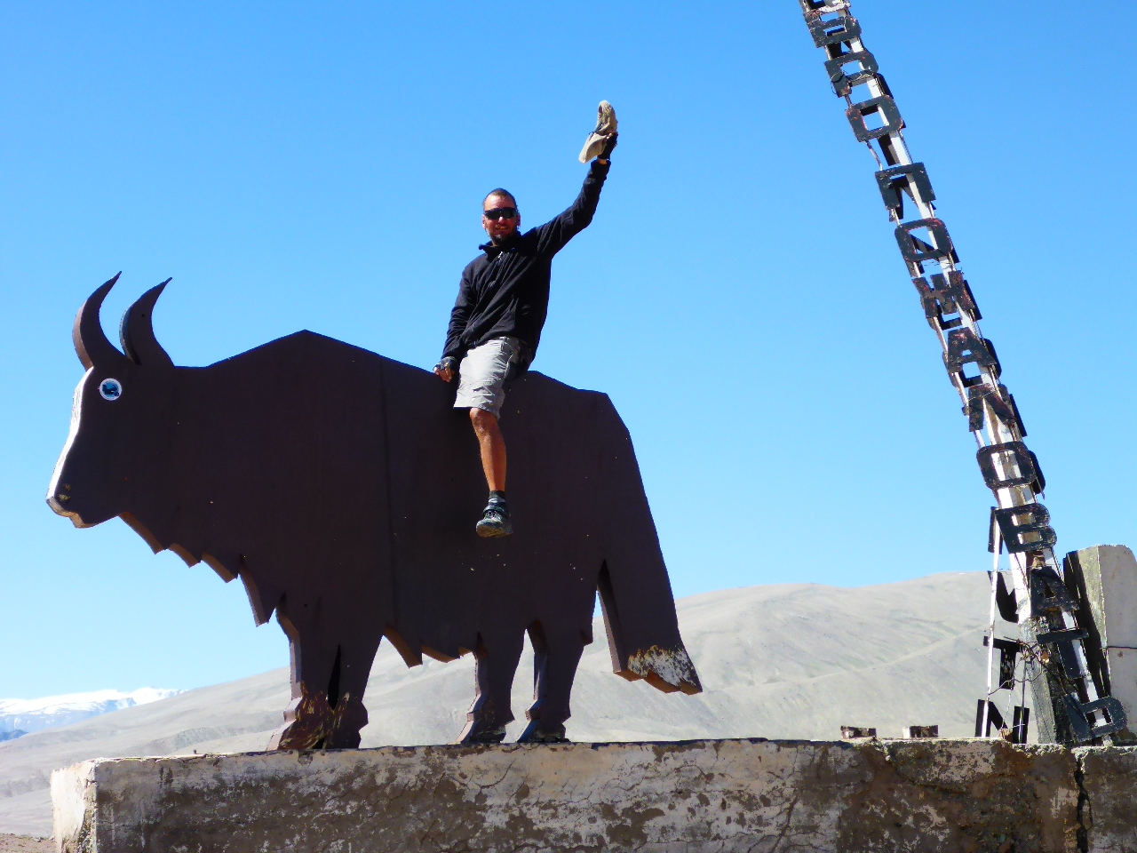
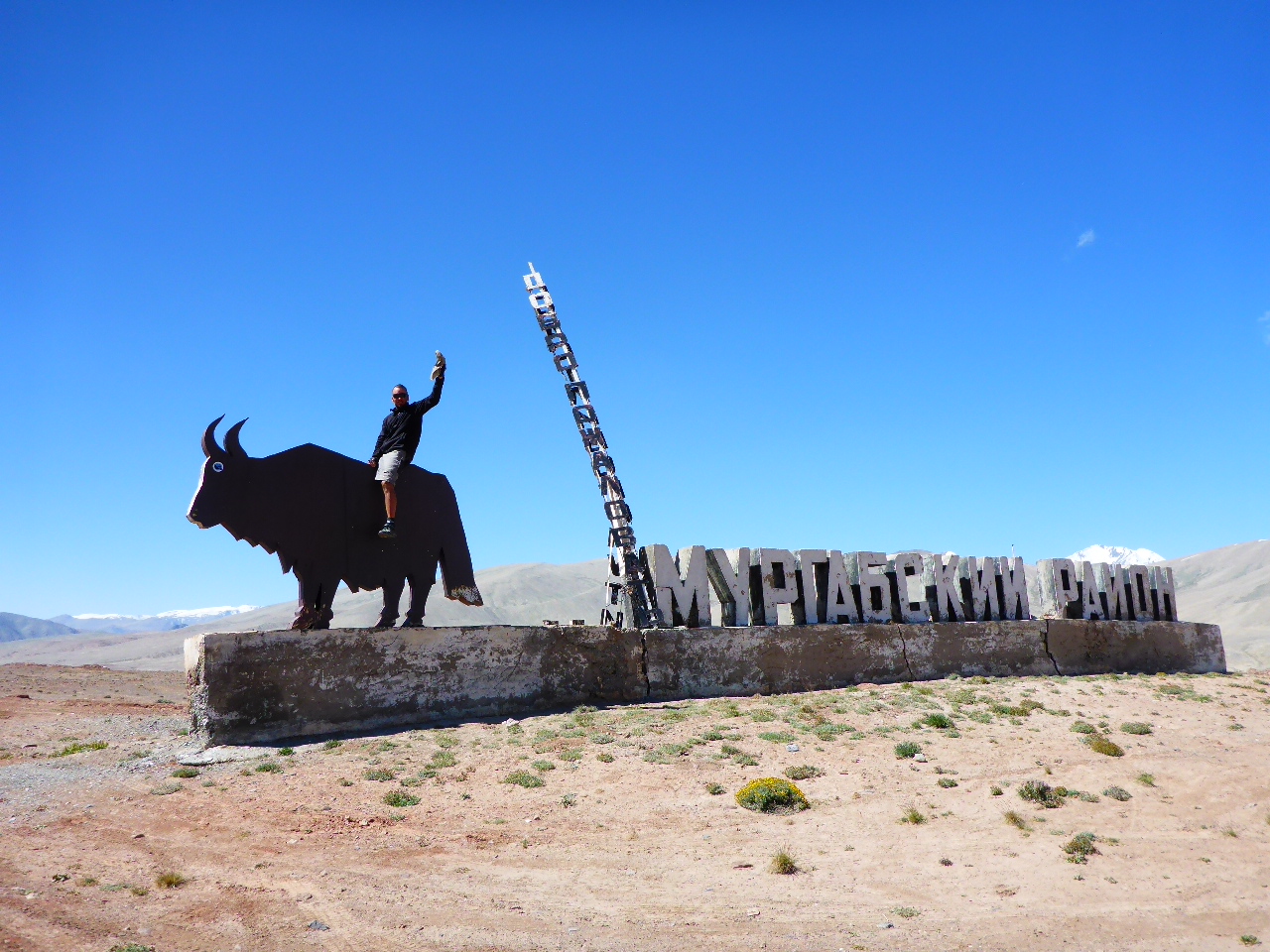
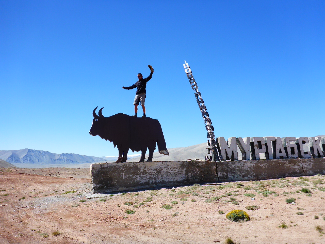
Saturday 12 th August – 14km before Murghab to Murghab
Distance: 15.56 km
Total Distance: 16038.38 km
We are all up and share a brew and eat breakfast.
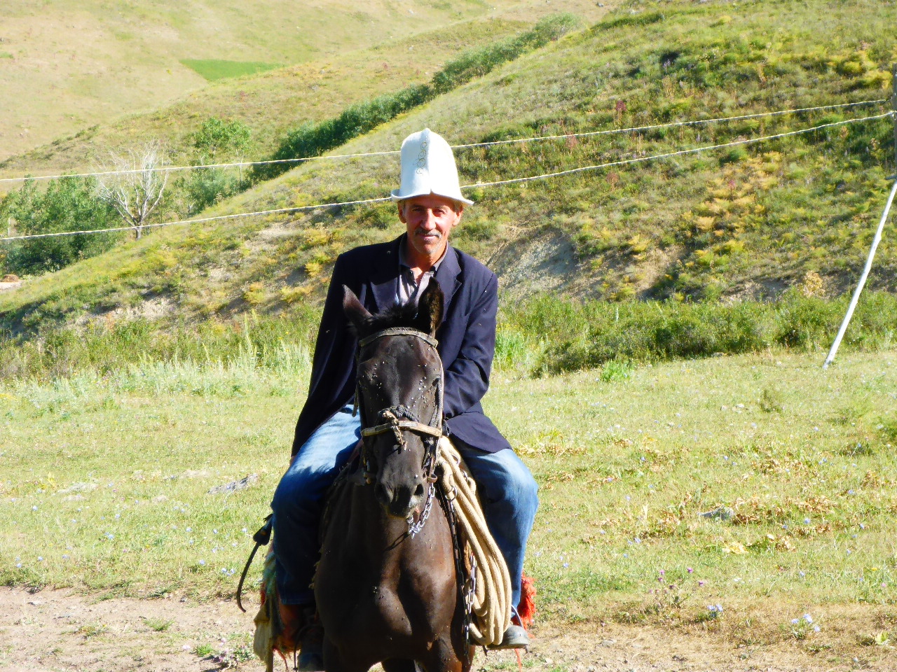
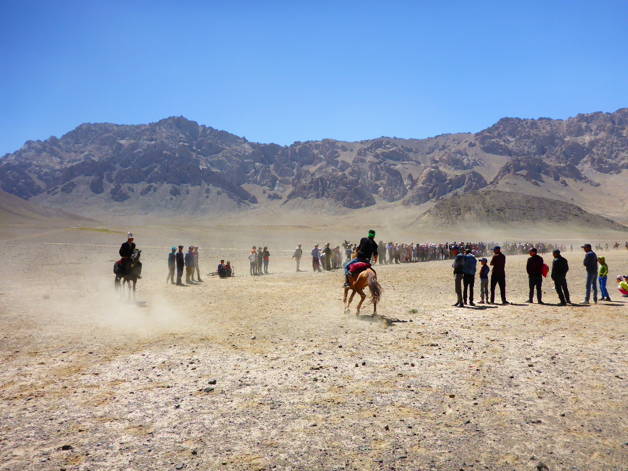
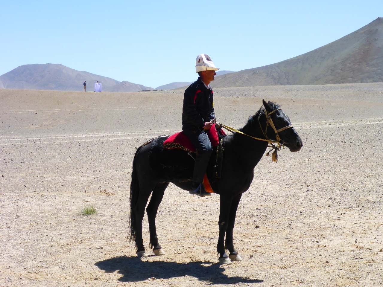
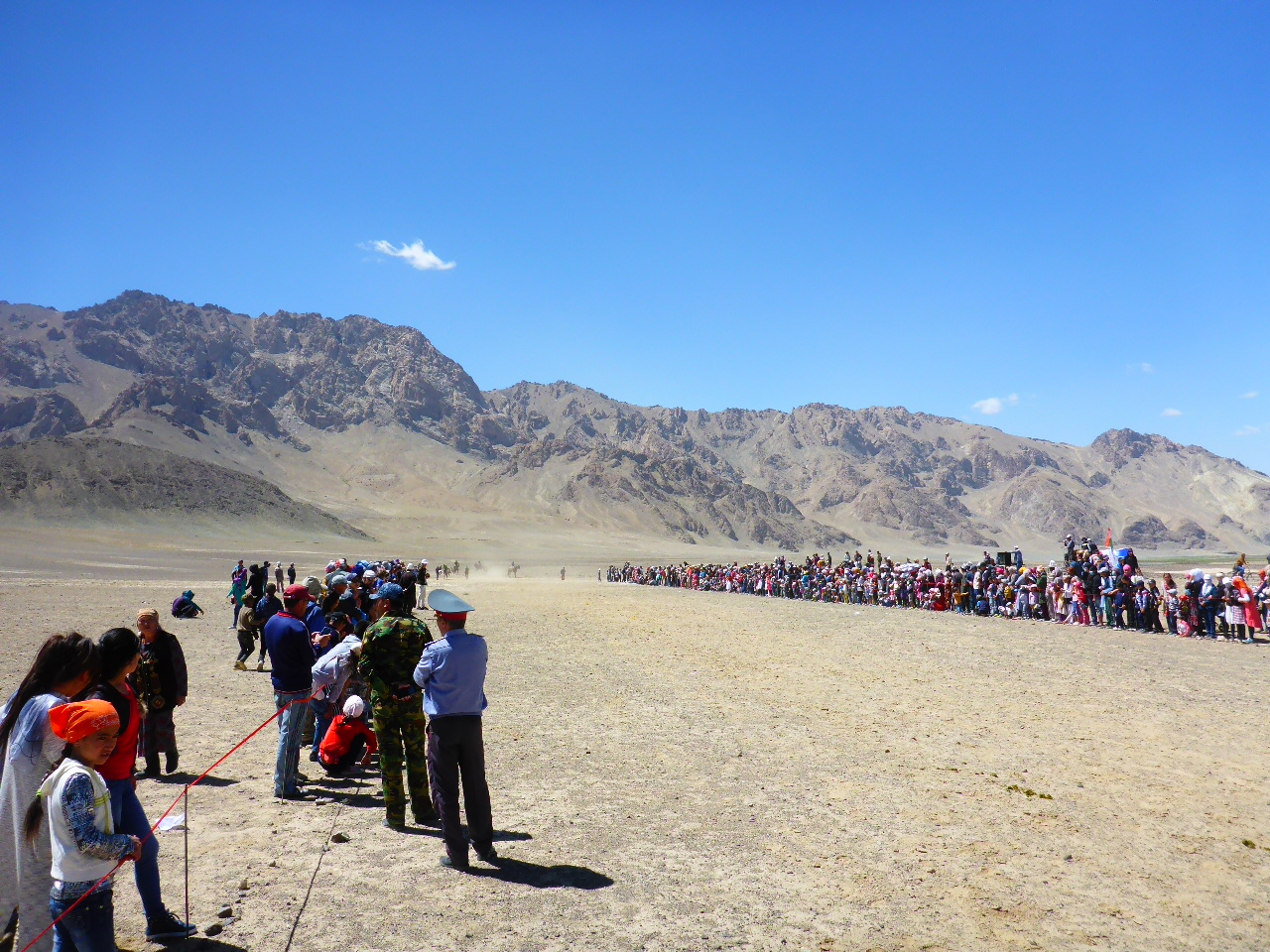
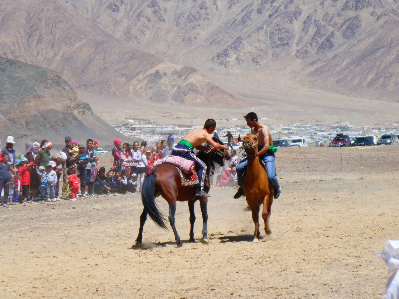
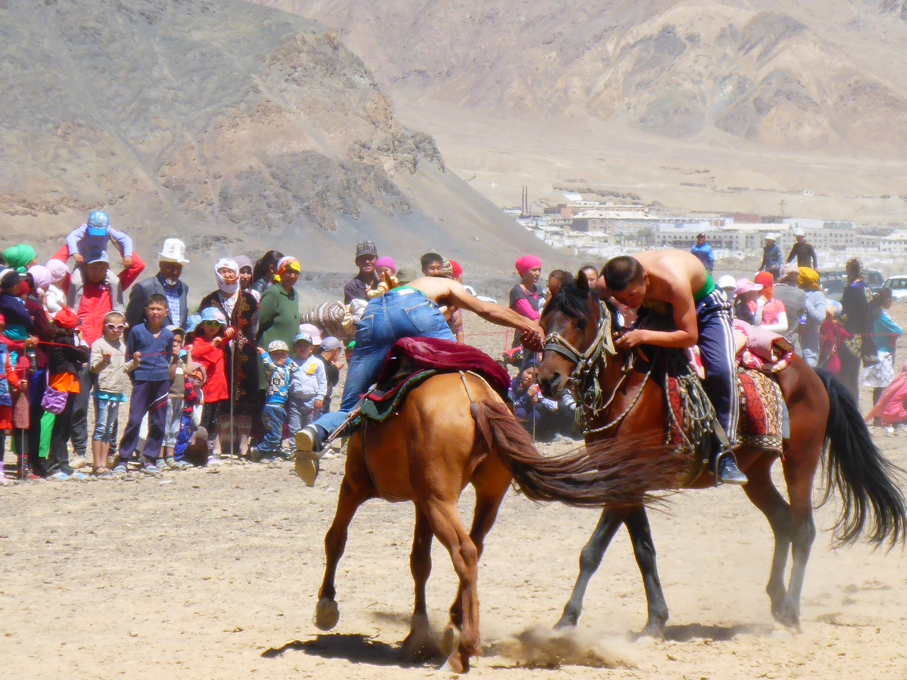
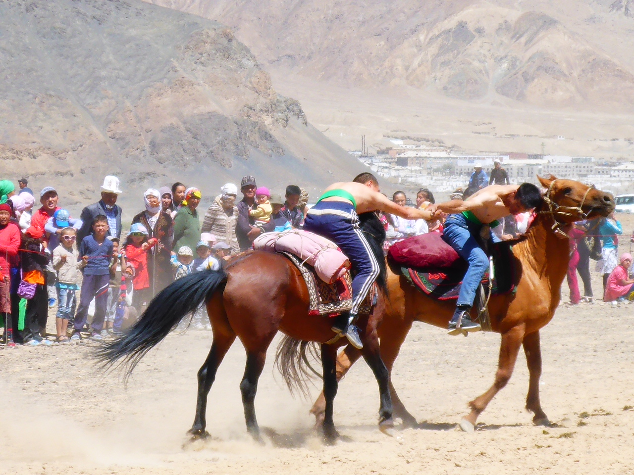
Ryan and Lottie mentioned last night that there’s a horse festival on this weekend in Murghab, absolute bonus. So we head off and just before the town we see the festival up on a bluff.
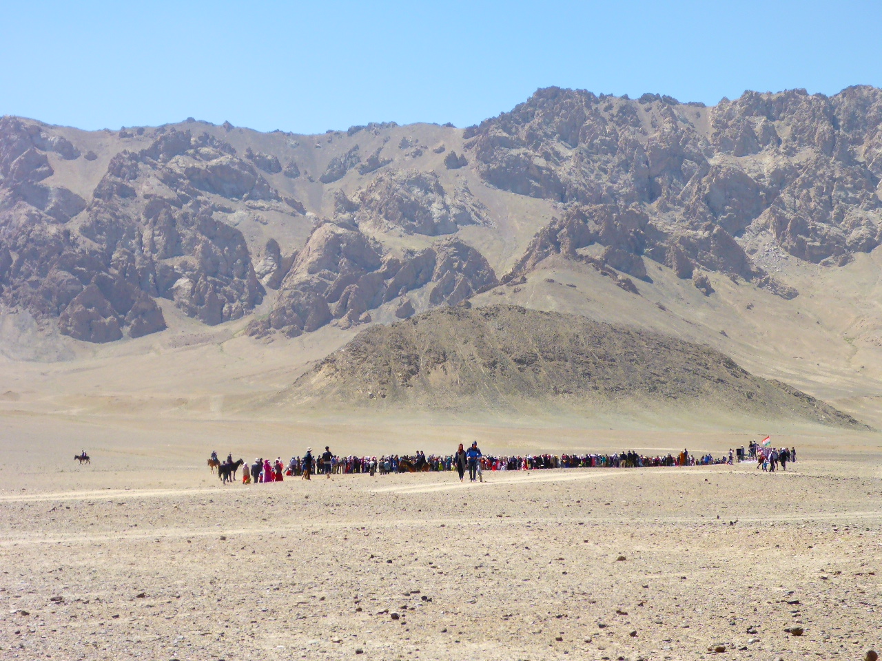
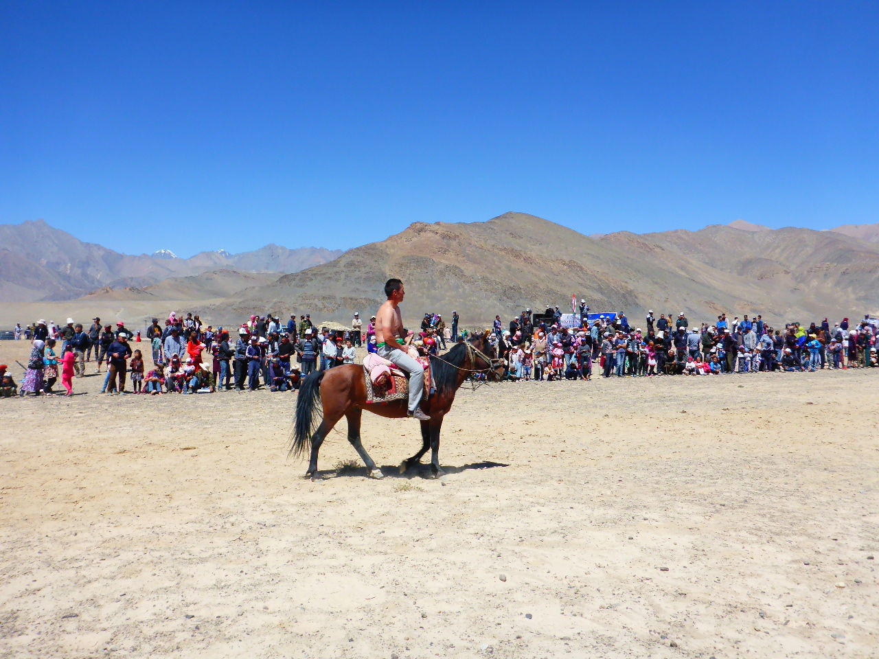
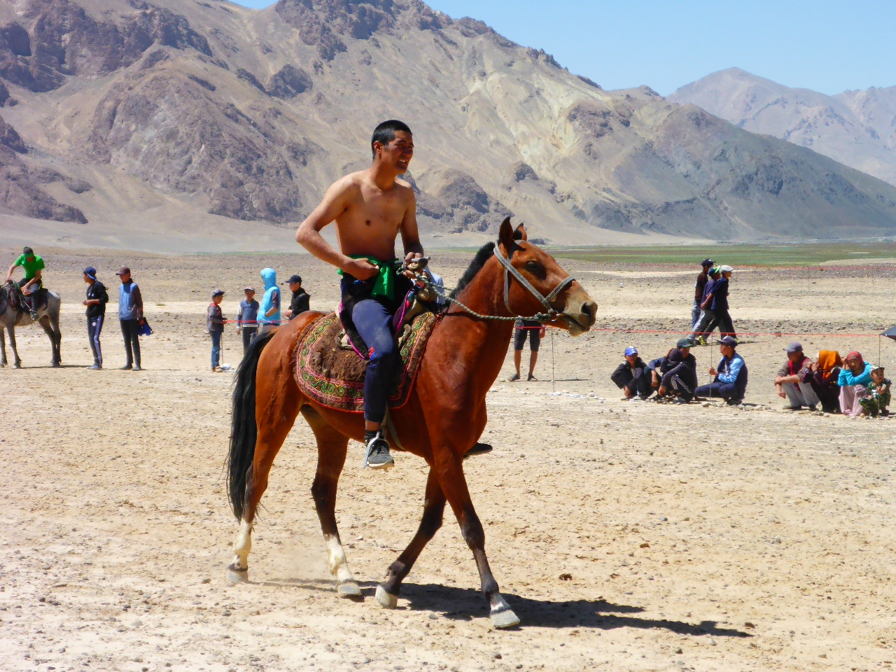
We cycle up and park our bikes. There’s a large crowd watching the horsemanship and we spot the Dutch motorcyclists and then Ryan and Lottie. There are a lot of European tourists here too. When we arrive the horsemen are thundering down the central sandy arena and picking up bean bags off the floor, or trying too. They are leaning right over their speeding horses and a few come a cropper and tumble off into the sand. After this there is horse wrestling. The topless riders grapple with each other trying to drag their opponent off their horse.
We wander around the local stalls and buy some fried snacks and then a seasame flavoured icecream!
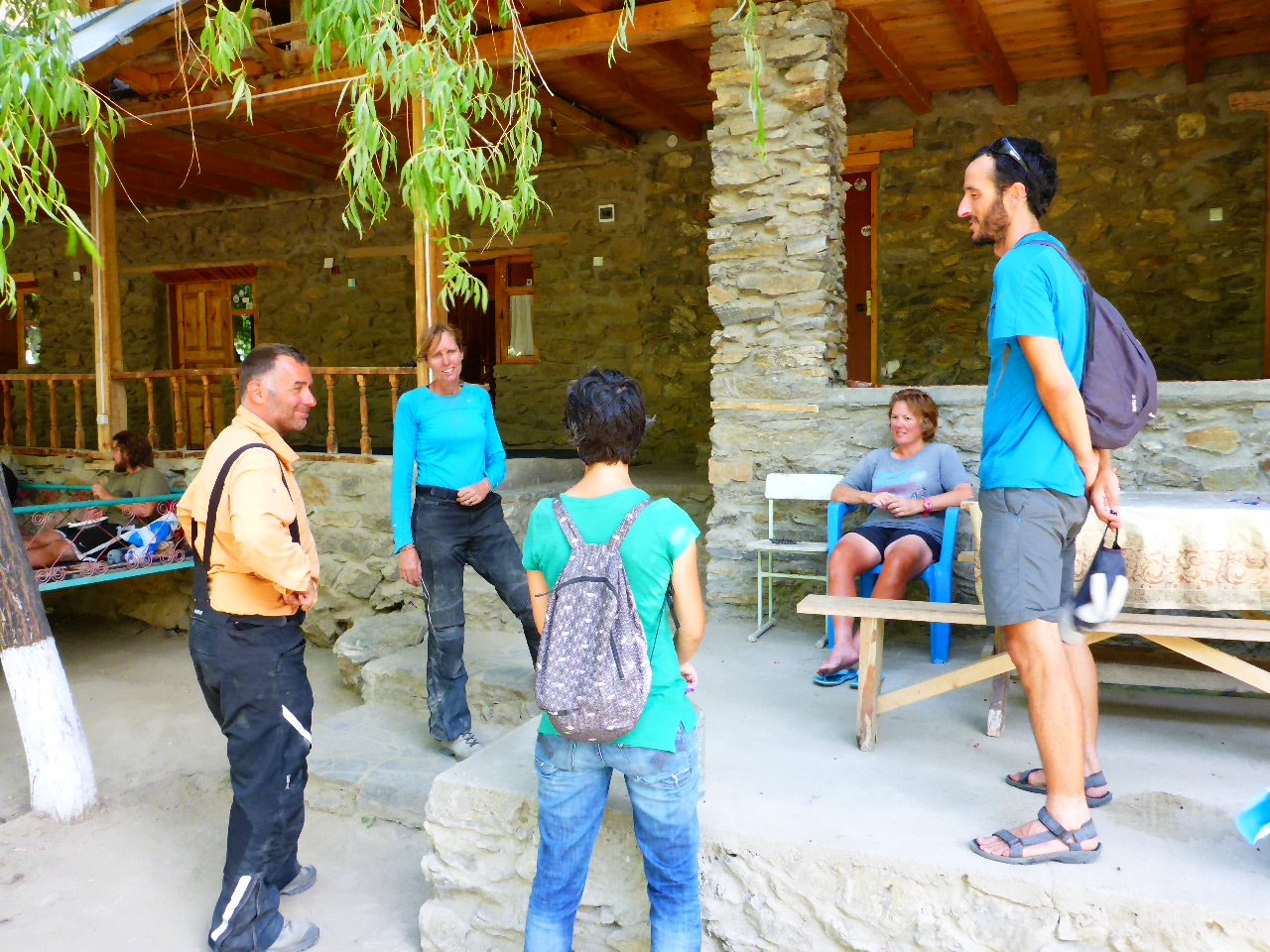
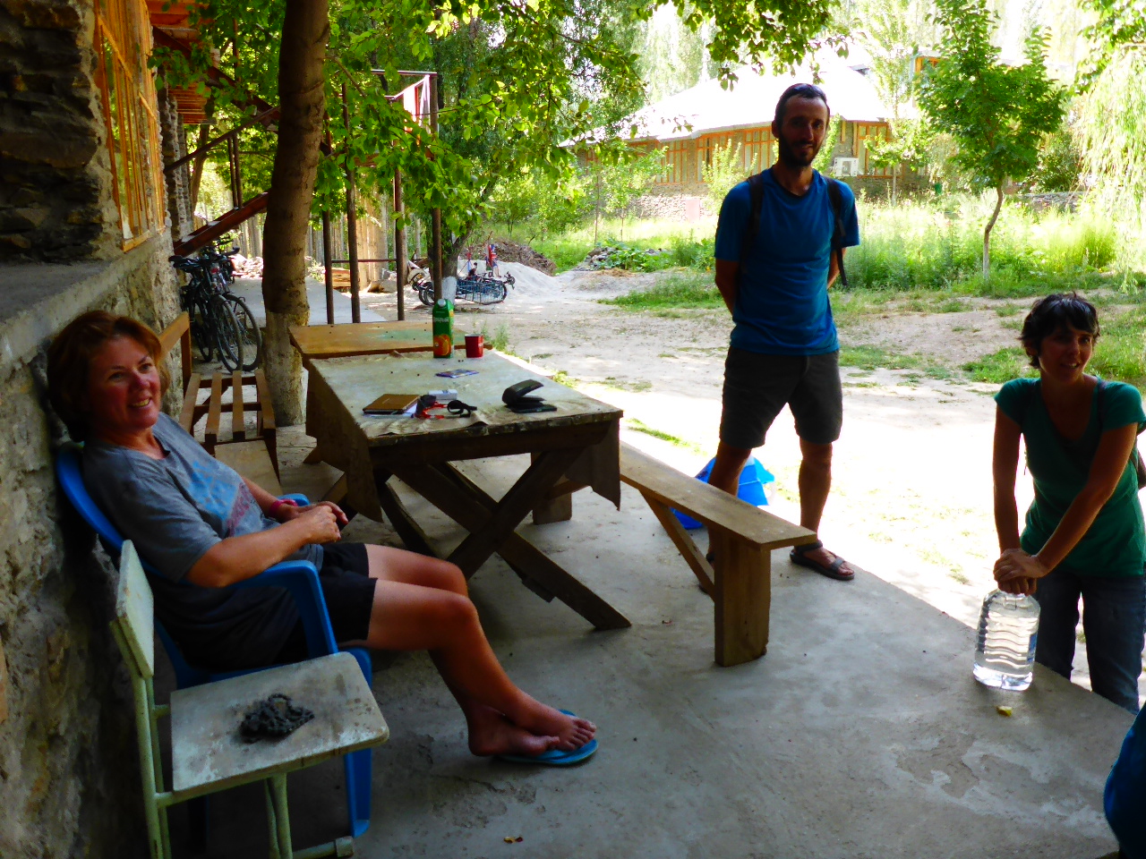
The final event of the day is called ‘kiss the girl’ but they have stopped for lunch so we decide to cycle into Murghab and book into the Pamir Hotel. They only have dorm rooms left at US $ 10 per person including breakfast . At least there is a shower, our first hot shower in 9 days. But no WiFi and no power between the hours of 2pm and 7pm!
Sunday 13th August – Murghab
We spent yesterday evening chatting to Lottie and Ryan and Karin and Dave (the Dutch motorcyclists). Lottie also taught us a new card game. We eat and drink and have a great evening.
On Sunday we go to the Bazaar with Lottie and Ryan and then they head off.
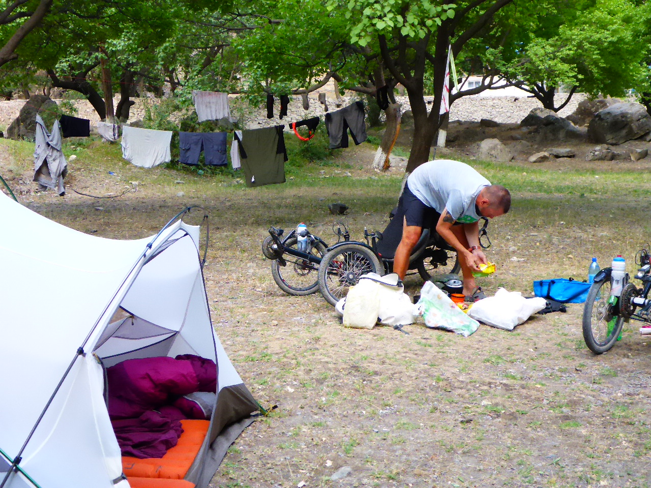
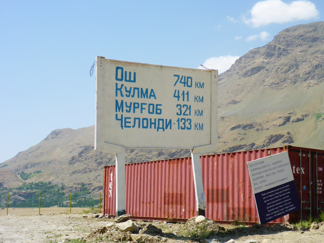
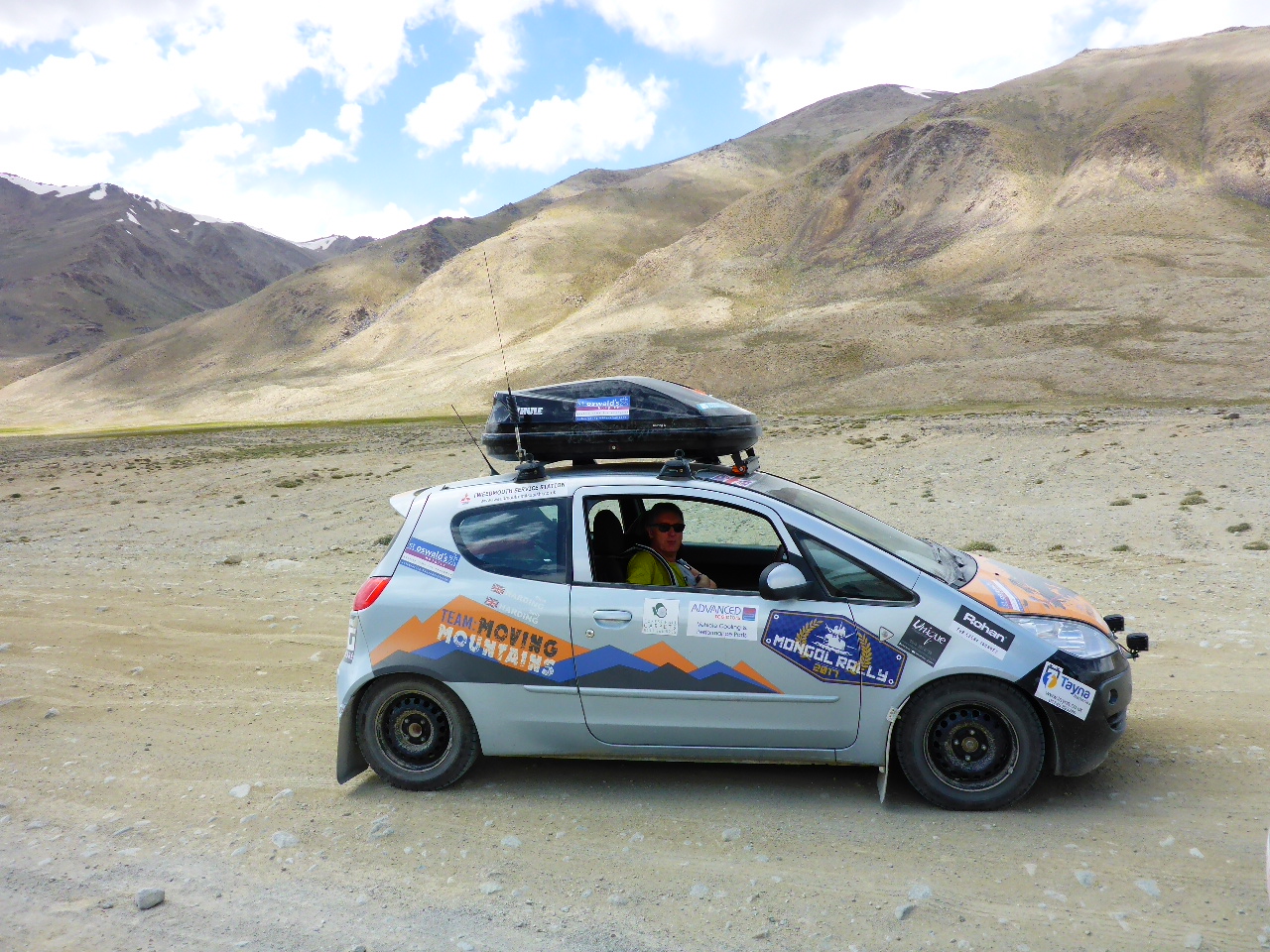
The Dutch guys have already gone. We can’t get fuel for our cooker until tomorrow so it’s a day of napping, reading, bike maintenance and cleaning our kit. We have dinner in the hotel again and we’re joined by 3 people from a tour group. An Irish lady and an Austrian and a German. They’re half way through a 14 day tour and they’re hilarious when they describe some of the homestays and hotels they’ve had to endure; the terrible food and the foul toilets / showers. Of course we’re used to the crummy food etc although we’re getting fed up of it now. Roll on Bishkek and some decent food – it’s only about 1000km away!!!
Monday 14 th August – Murghab to 33 km before Okbadal pass
Distance: 41.92 km
Total Distance: 16080.3 km
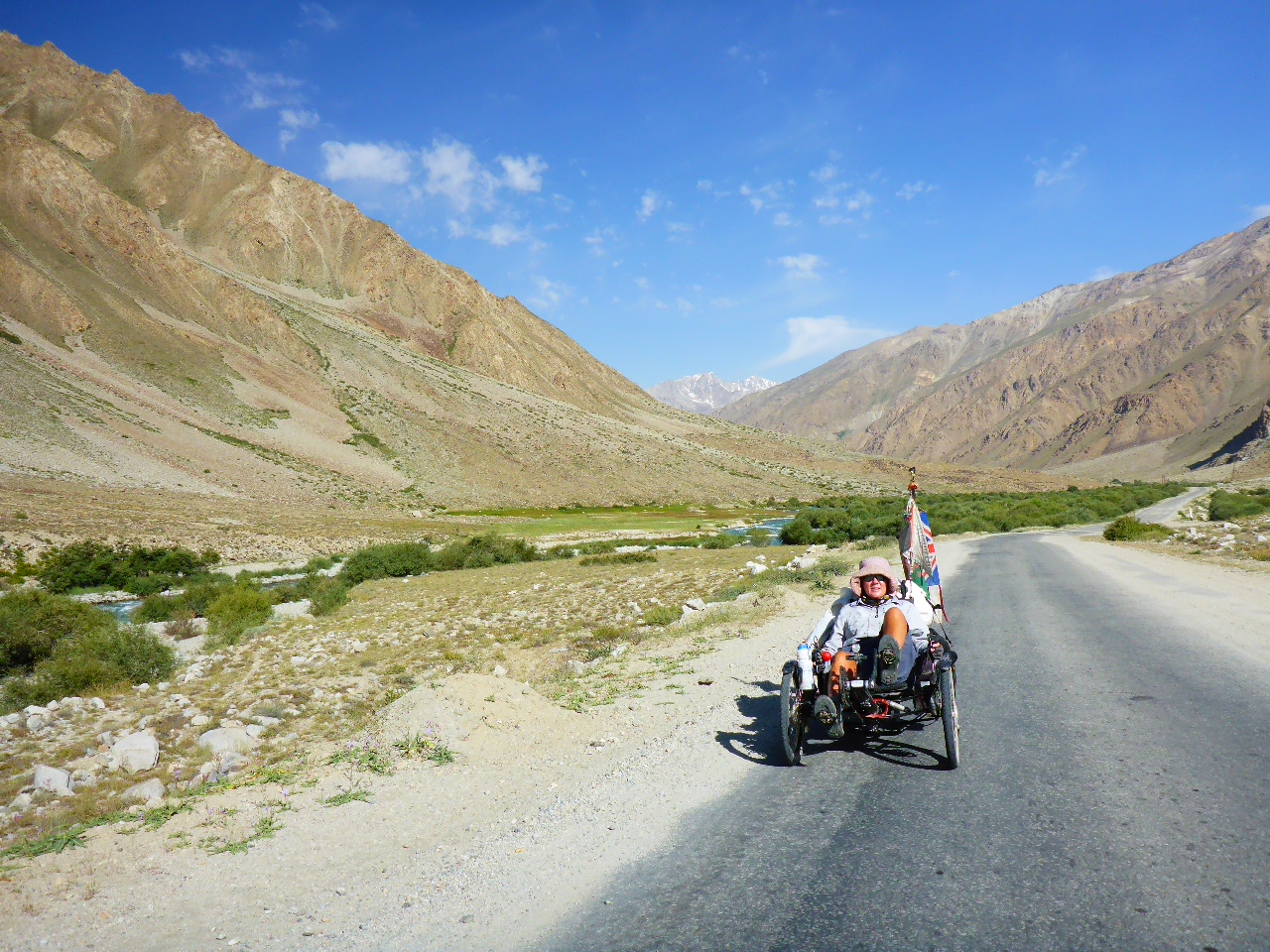
After breakfast we pack up and head off stopping off by the hospital to buy denatured alcohol for our cooker. Today is tough. Daz is feeling breathless and his belly is unsettled whilst I’m unimpressed by the long stretches of straight road with little to appreciate in the way of scenery. And no Marmots either!
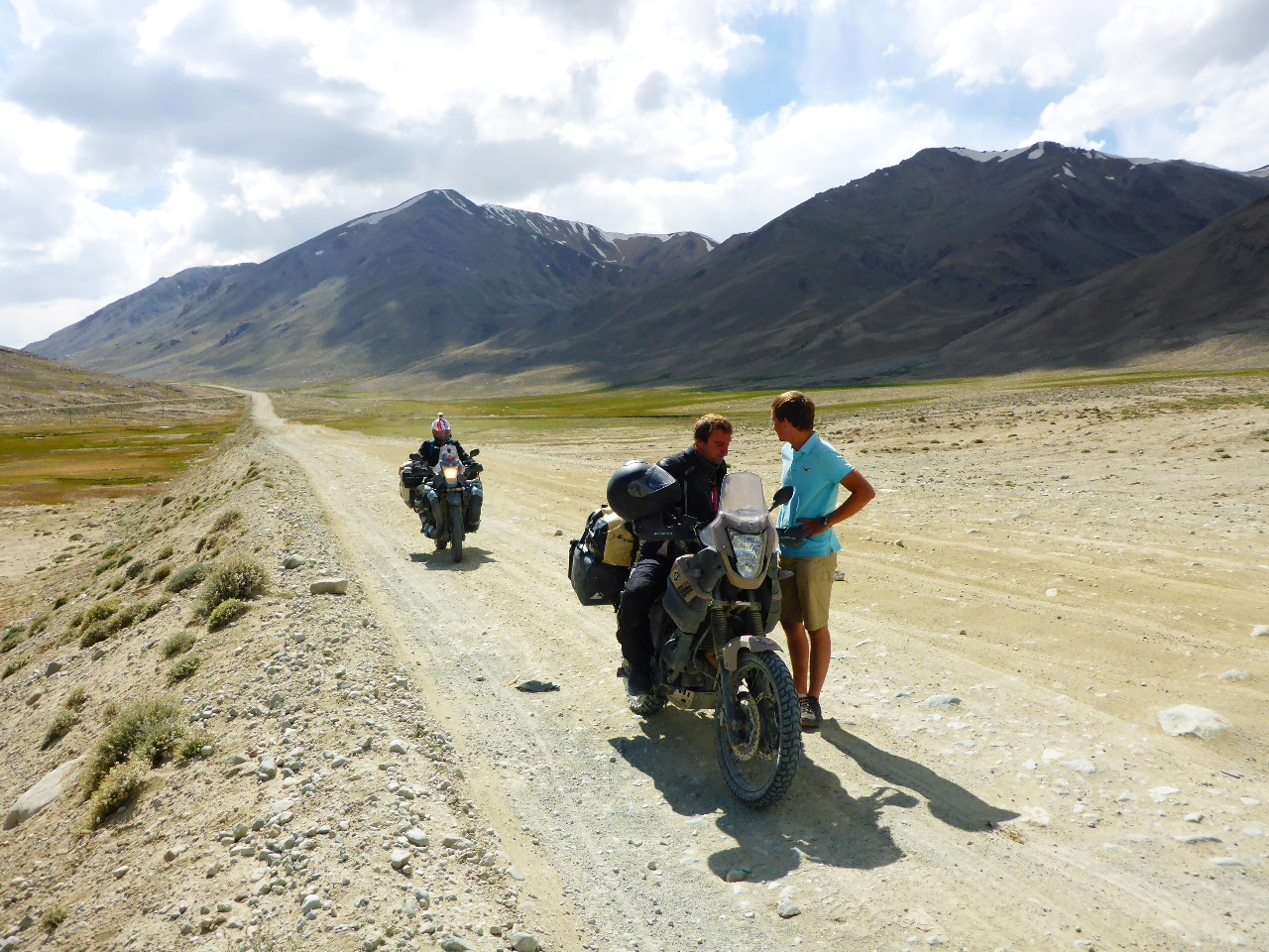
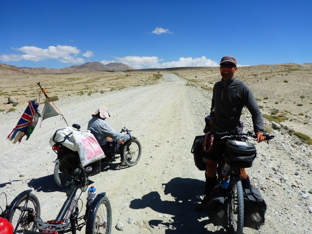
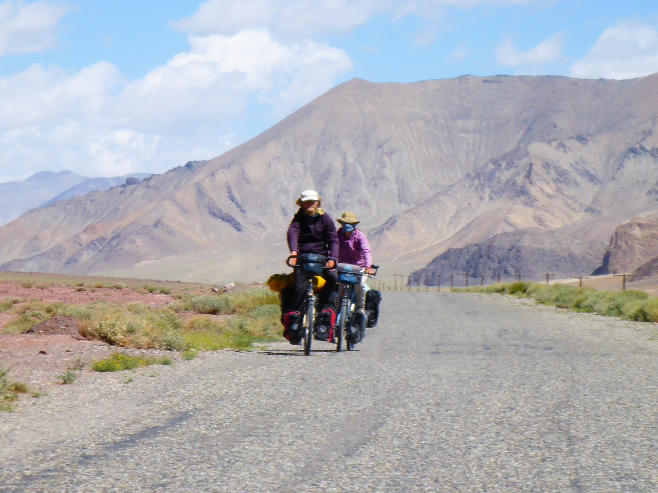
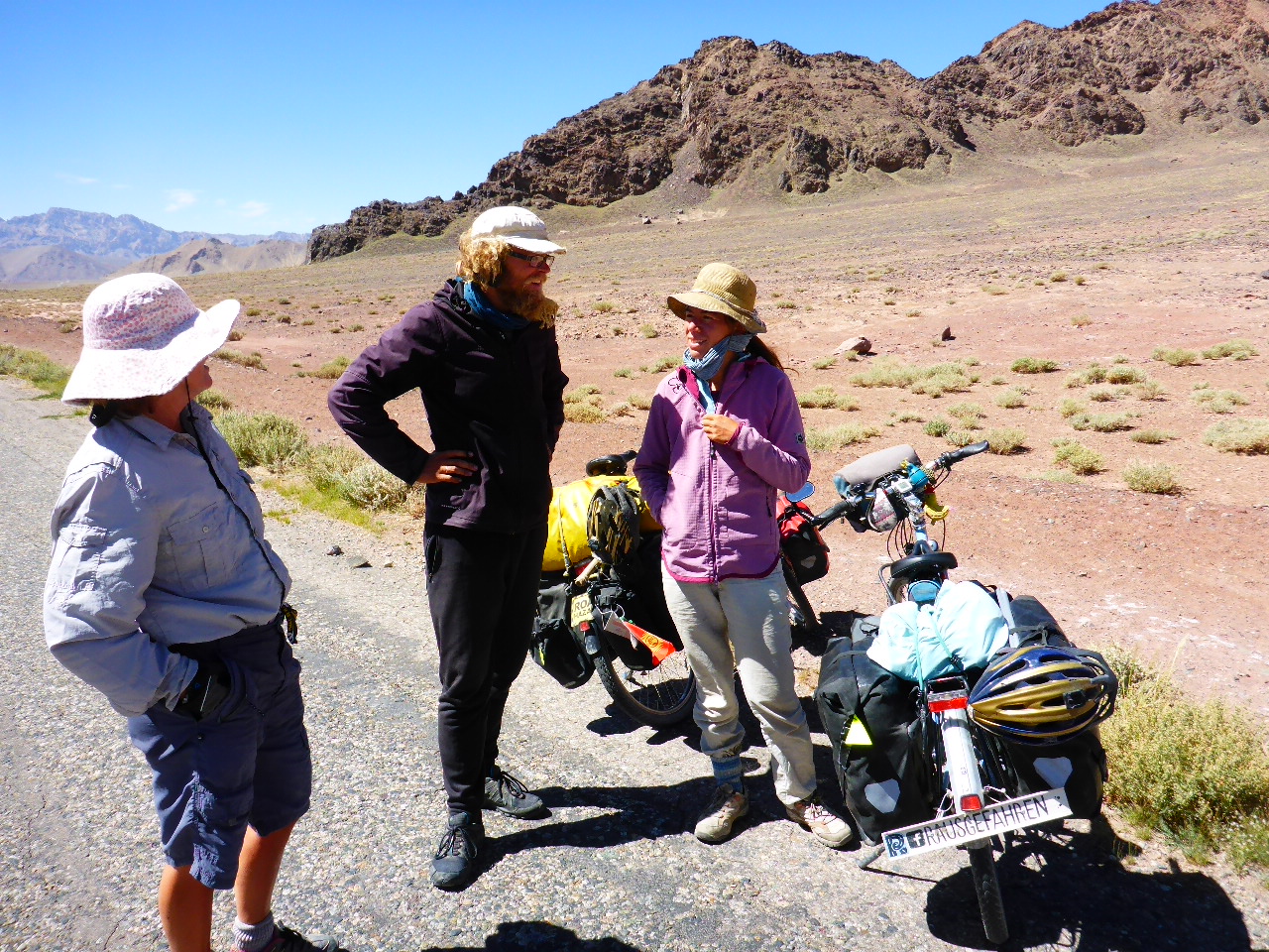
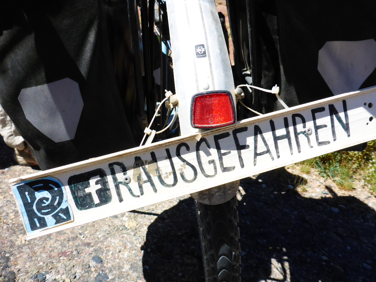
We do meet a pair of oncoming cyclists. As we stop to say hello Daz recognises them from Facebook, it’s Michael and his girlfriend otherwise known as #Rausgefahren. They were in Georgia about the same time as us but headed north through Russia and around to Eastern Kazakhstan before coming to the Pamirs. We chat for a while then head our separate ways, we may see them again in India!
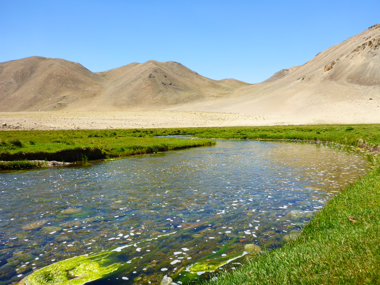
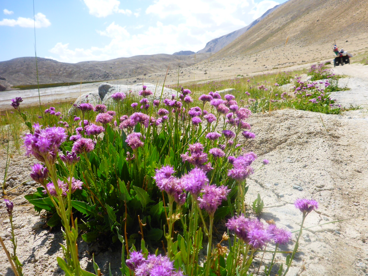
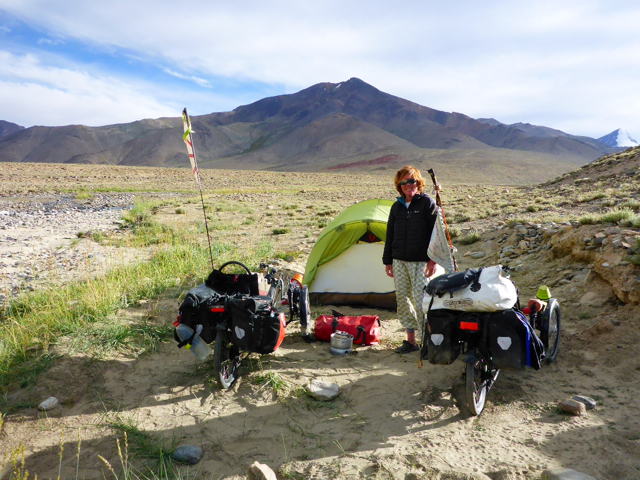
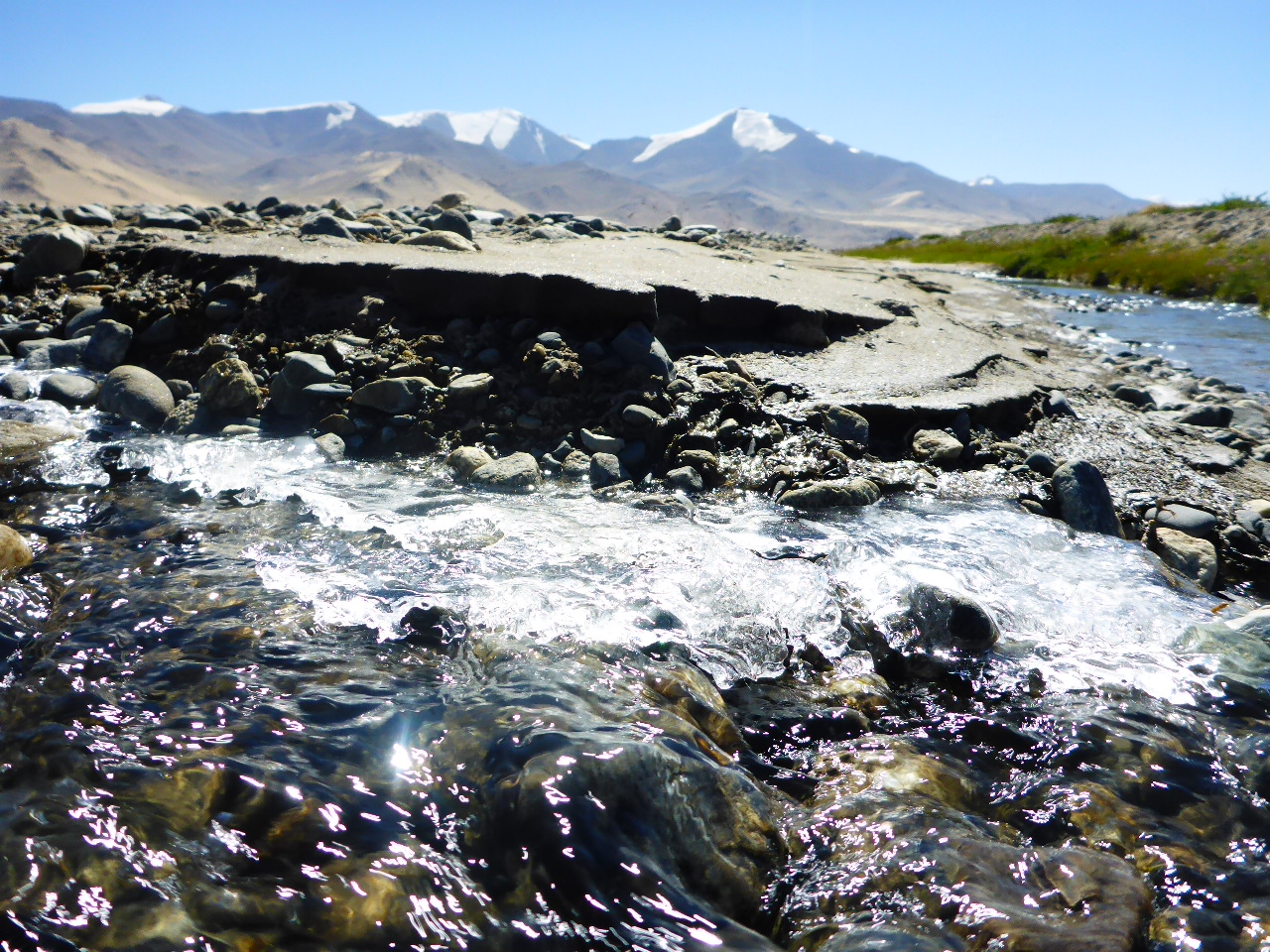
We’re heading to the top of the highest pass in the Pamirs so we’re continually climbing and although the gradient is very gentle our progress is slow and we have a head wind. We wanted to get closer to the top of the pass but we can’t pass up the opportunity to camp by a beautifully clear stream where we can wash and do our dishes. We bought some fresh veggies at the Bazaar yesterday so we add them to our noodles, delicious for once!
Highest Altitude 3950 metres.
Tuesday 15th August – 33 km before Okbadal pass to 9km after Okbadal Pass
Distance: 42.40 km
Total Distance: 16122.7 km
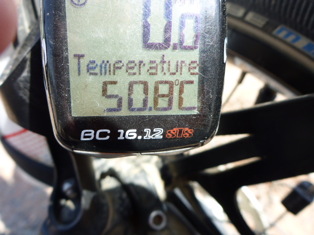
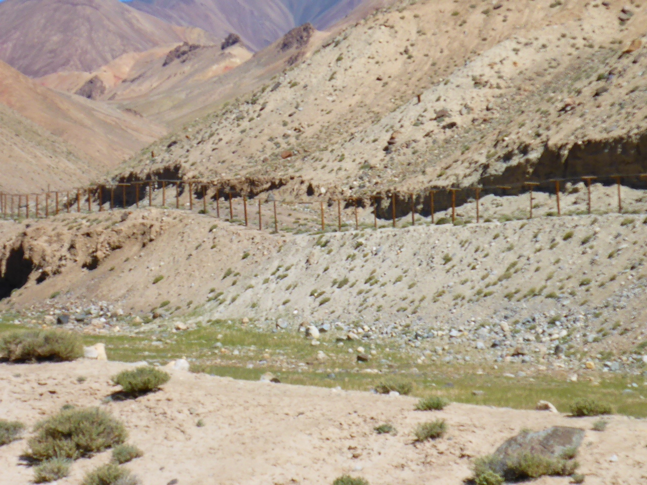
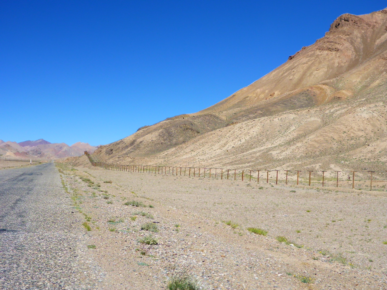
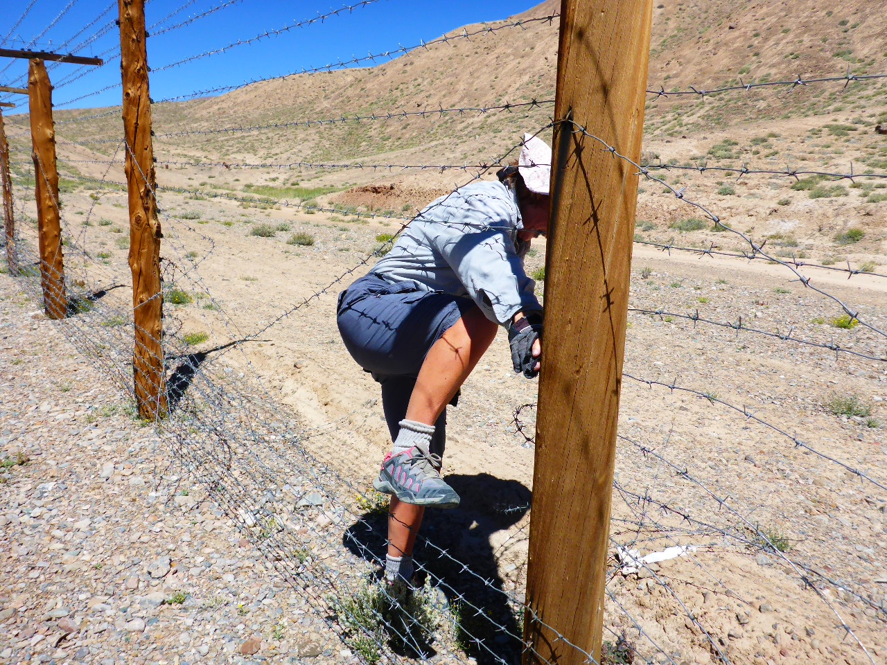
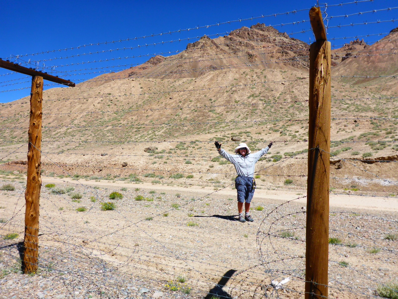
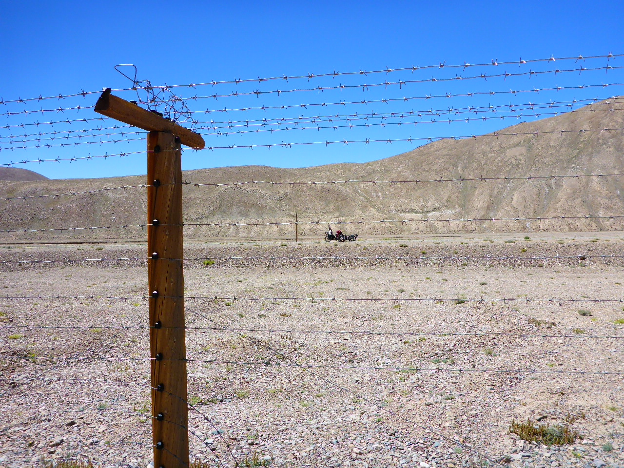
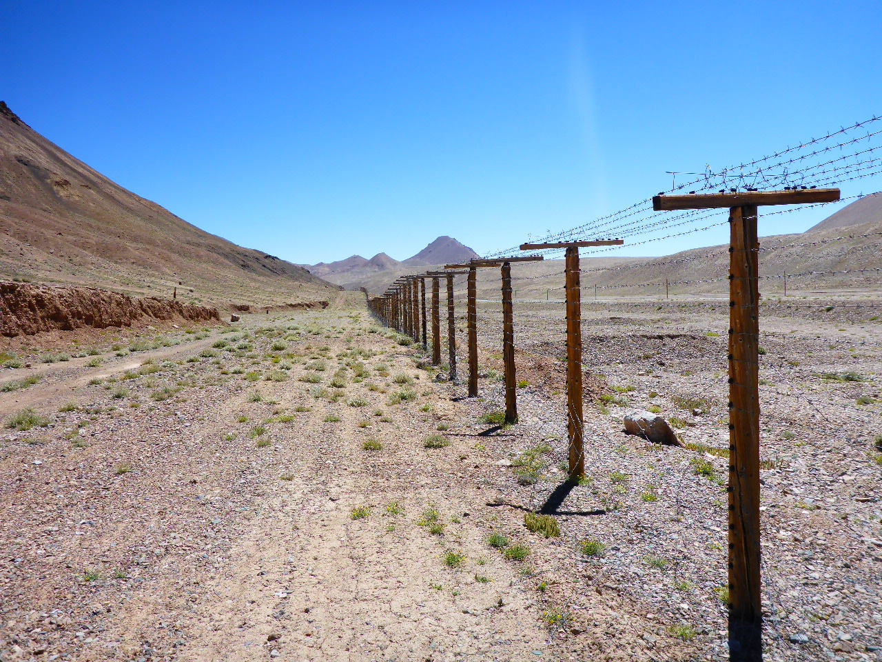
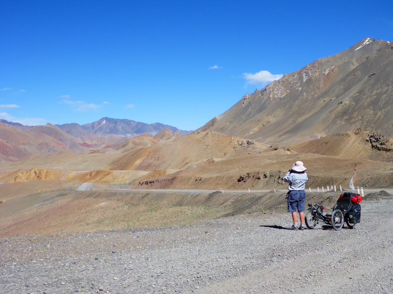
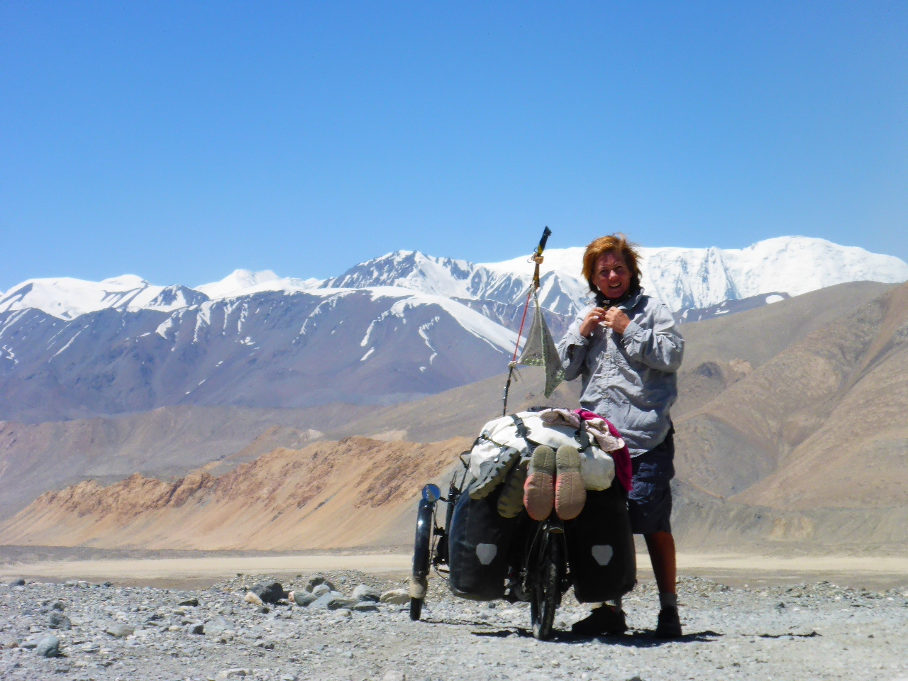
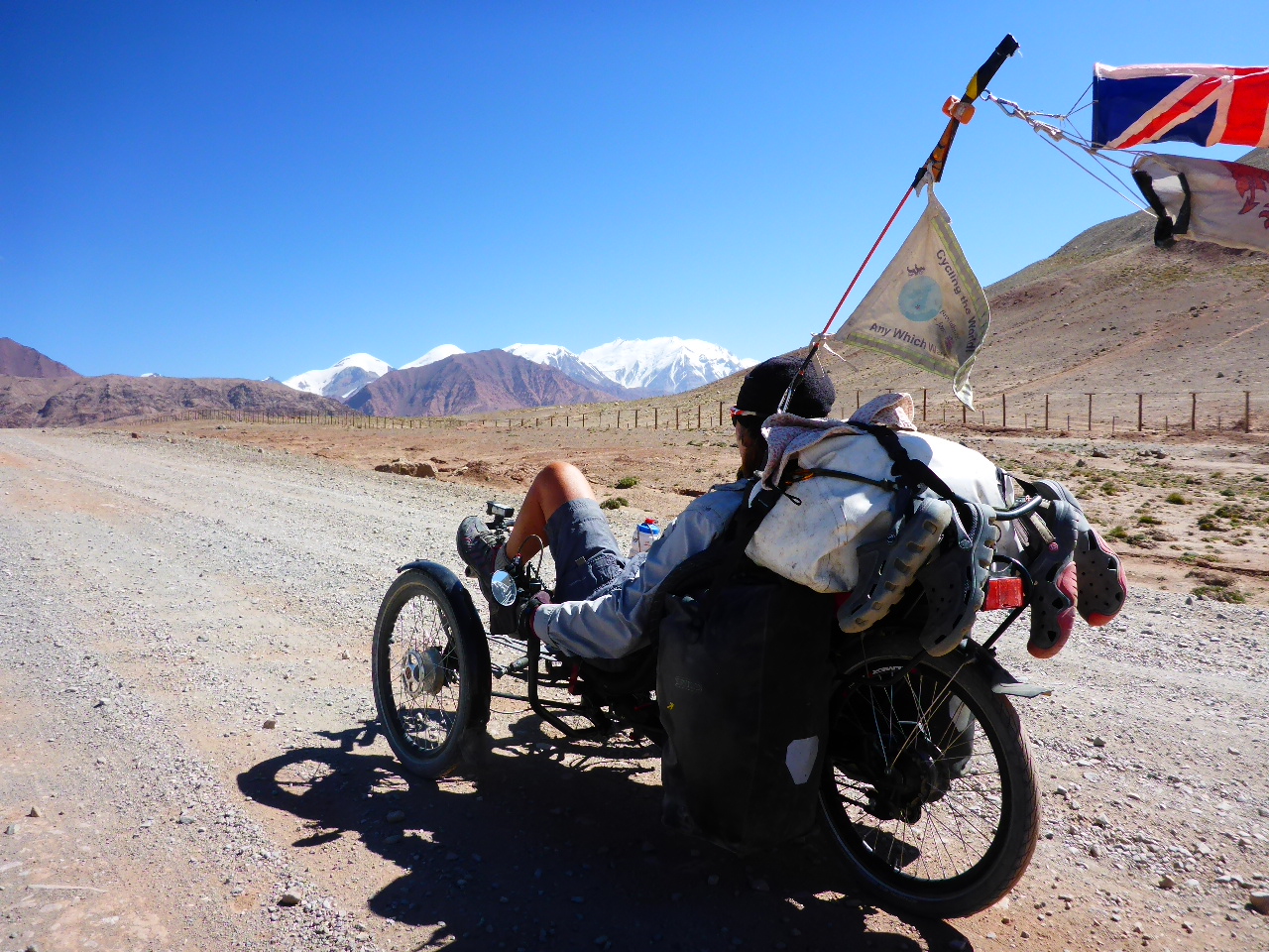
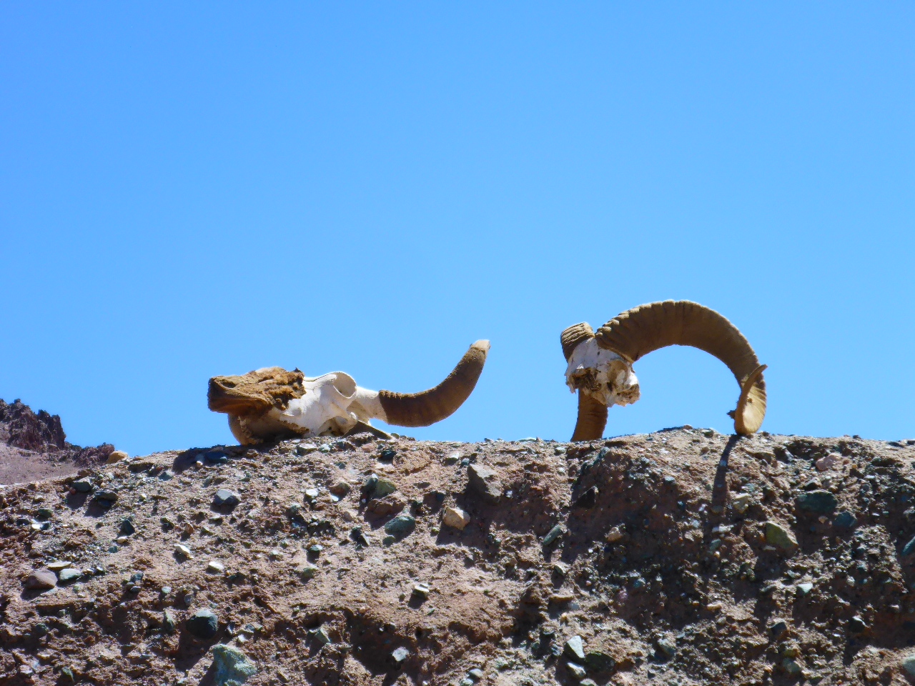
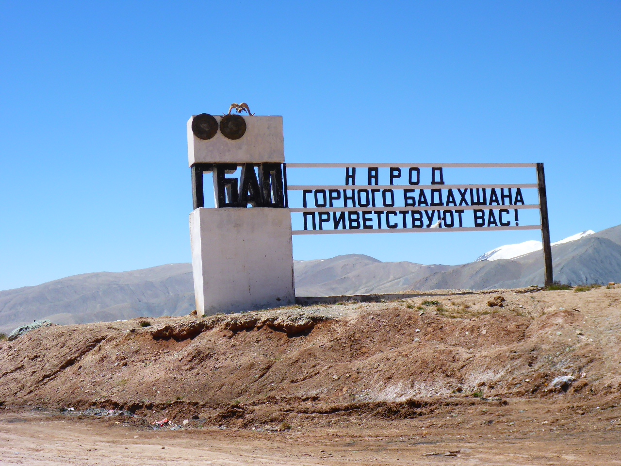
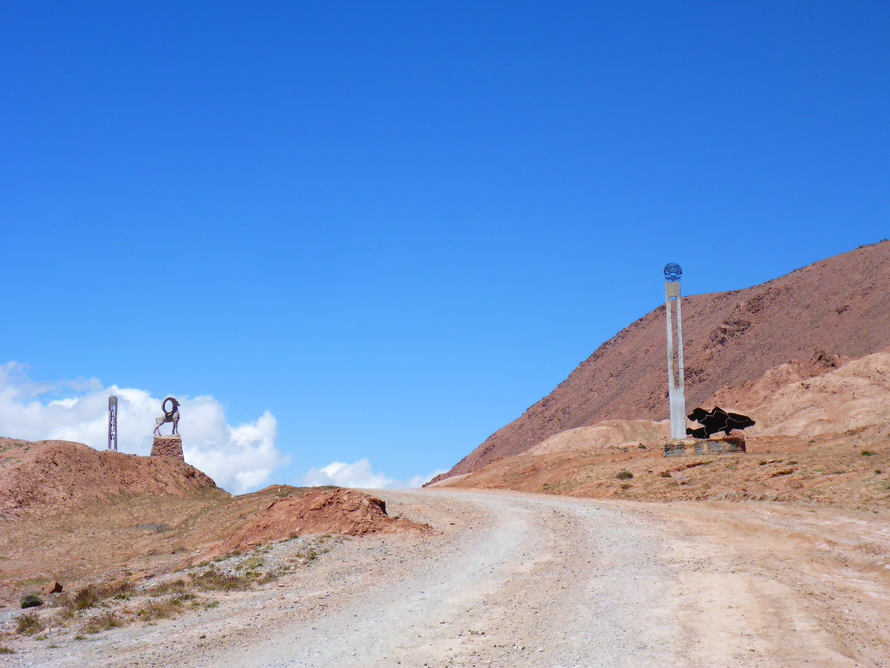
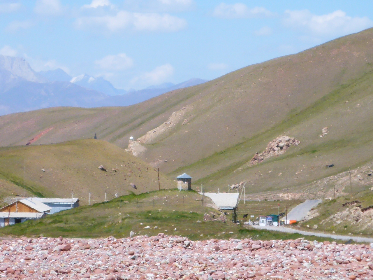
This morning we wake after a cold night, so cold that there is ice in our water bladder and our proverbial cup of tea takes longer to boil! Today we’re blessed with stunning views of the red mountains and we have a close up of the Chinese border fence. Apparently the Chinese border is actually on the ridge line but they seem to have trespassed into Tajik territory for their fence. There’s a couple of holes in the fence so we pop over to China for a couple of minutes.
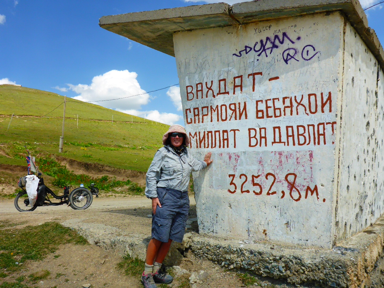
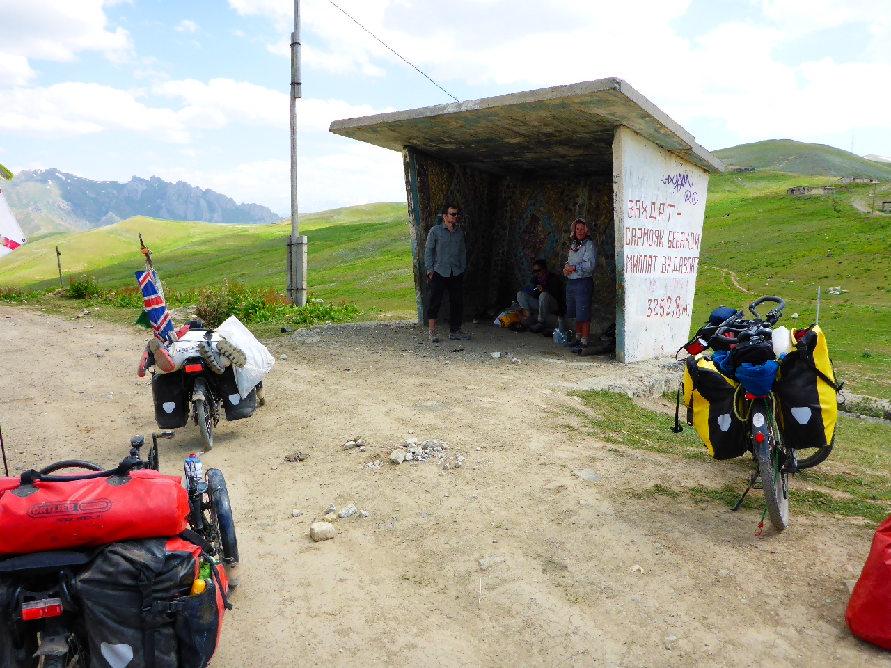
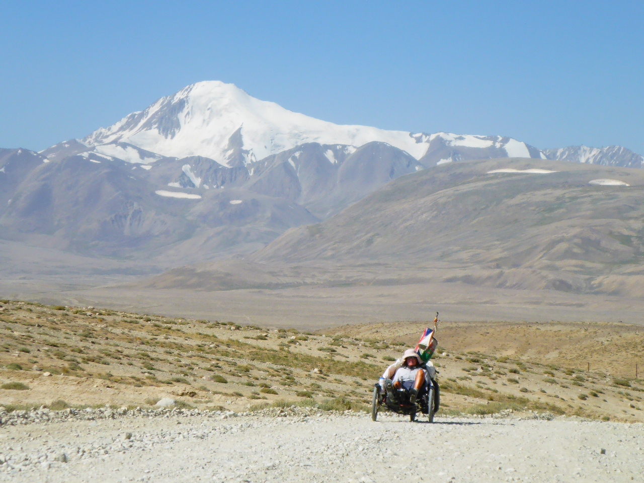
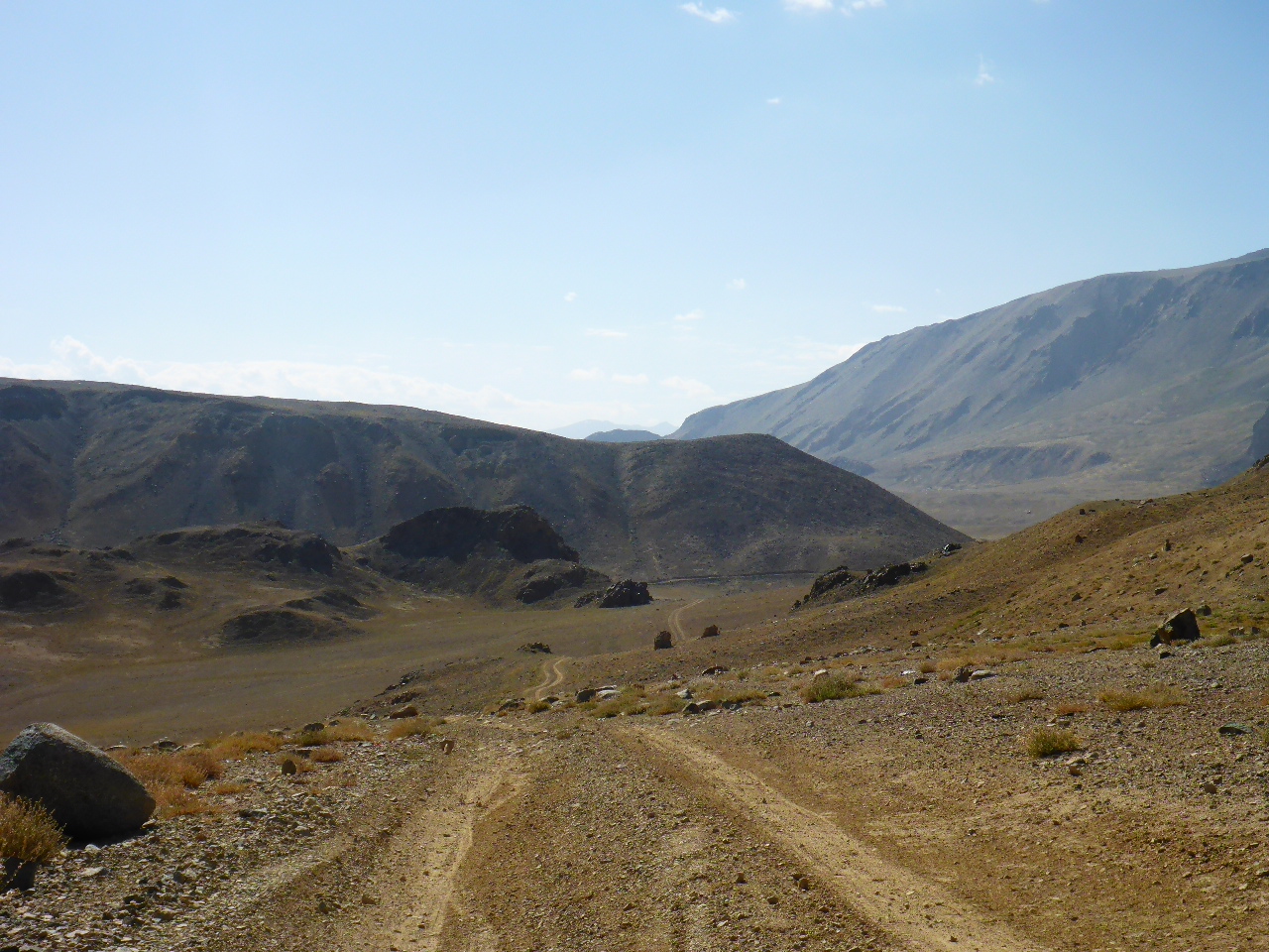
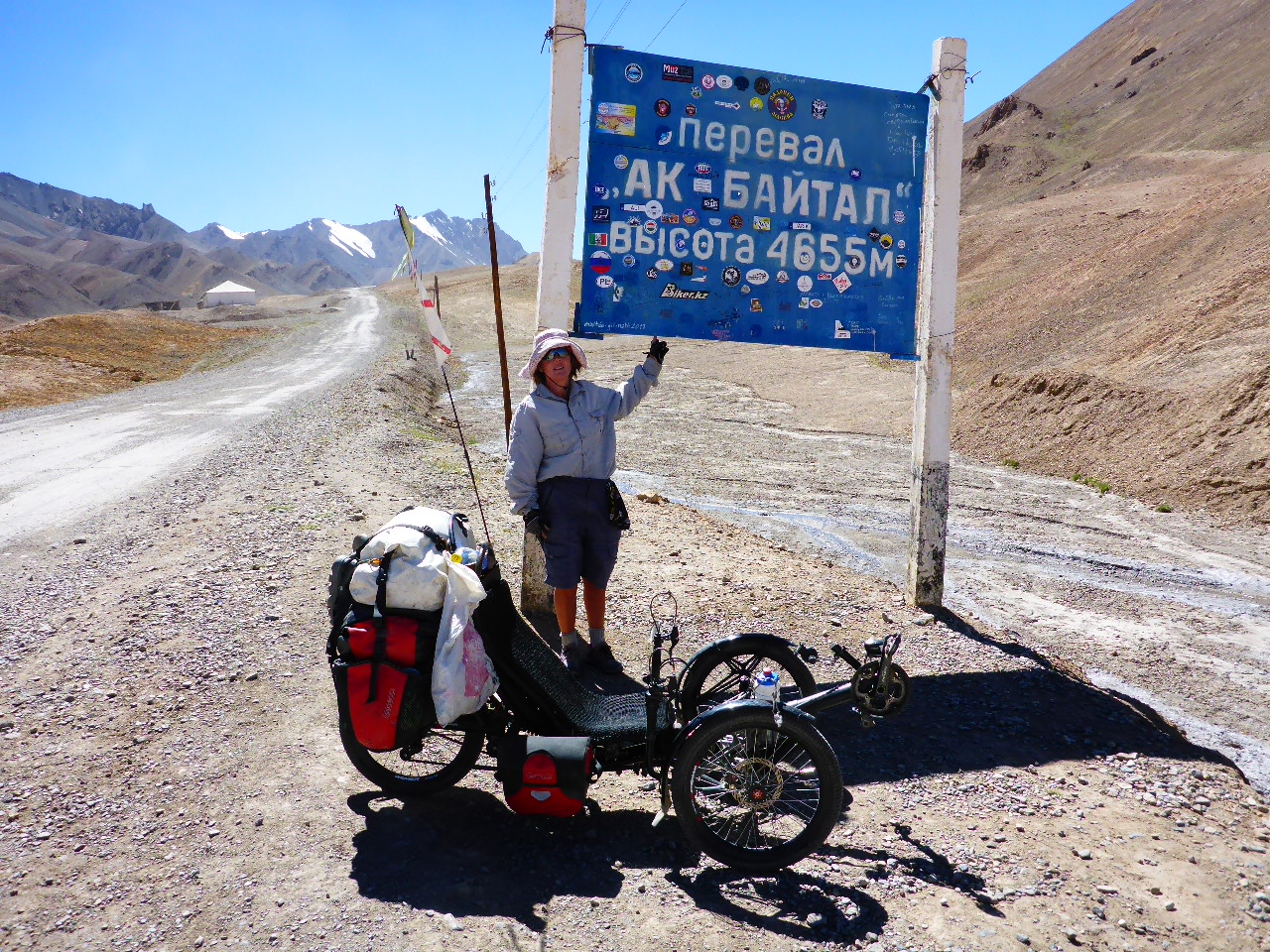
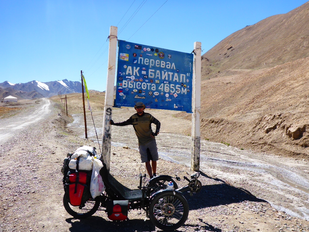
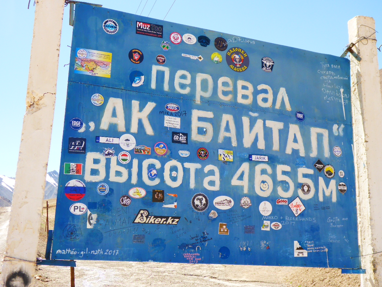
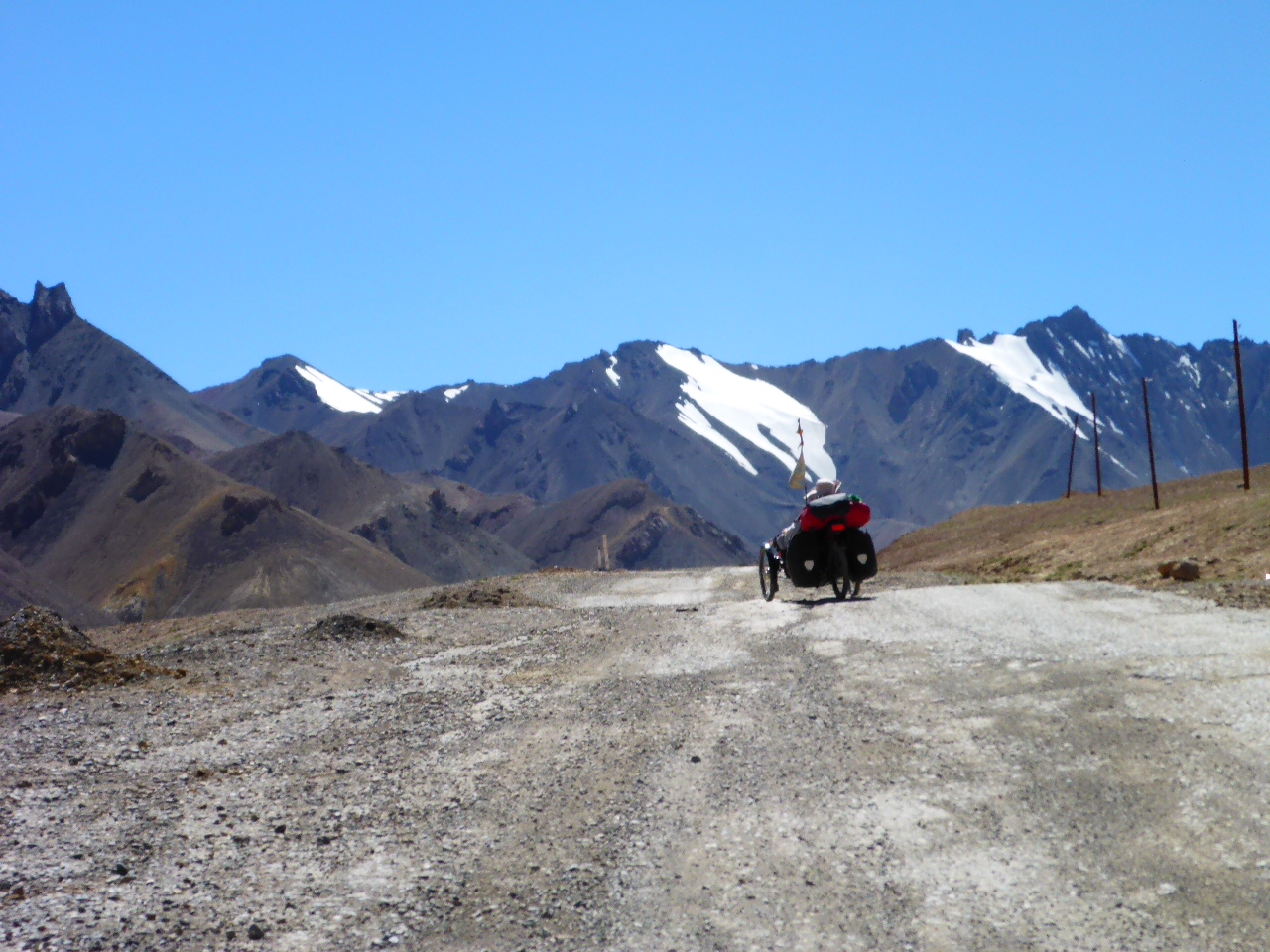
The riding today is incredibly tough – well for me but Daz seems fine. We’re plagued by strong head winds as well as 700m of climb. It doesn’t sound much but with the altitude it’s incredibly tough. We finally crest Okbadal Pass at 4655m – this is the highest pass of the Pamir Highway.
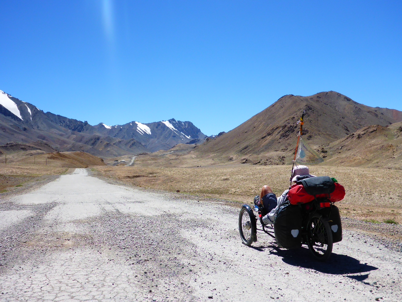
I can’t wait to lose some height so I hammer down the other side but the head wind is baltic and the road is pretty rough. I’m so pooped that as soon as I spot a possible campsite I stop. Sadly the shelter I was planning on using is just one big toilet so we’re out in the open, but too tired to care.
Highest Altitude 4655 metres
Wednesday 16th August – 9km after Okbadal Pass to Karukul
Distance: 50.89 km
Total Distance: 16173.59 km
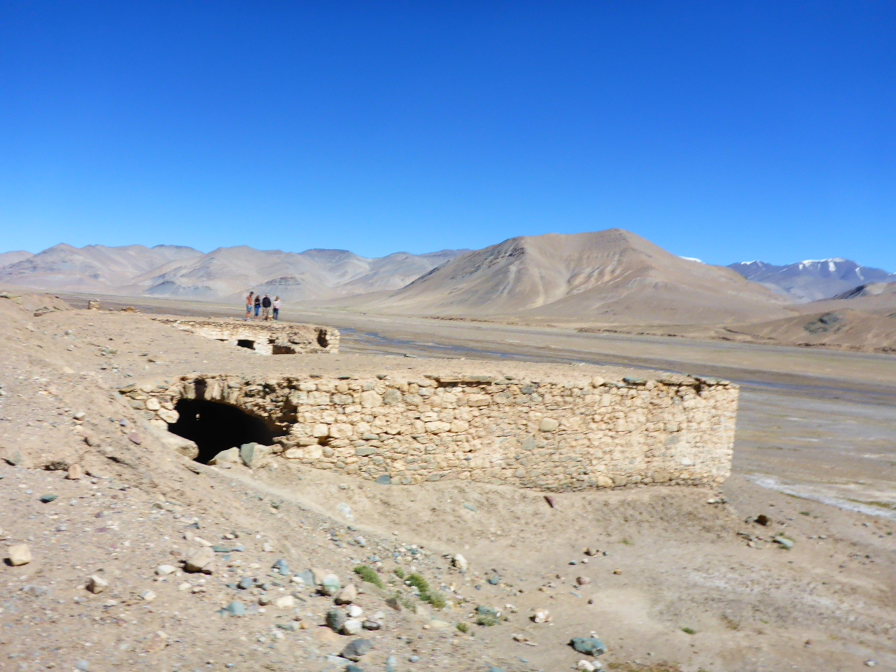
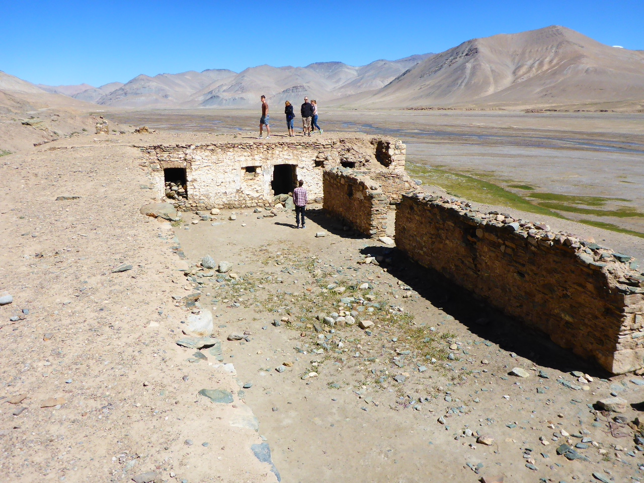
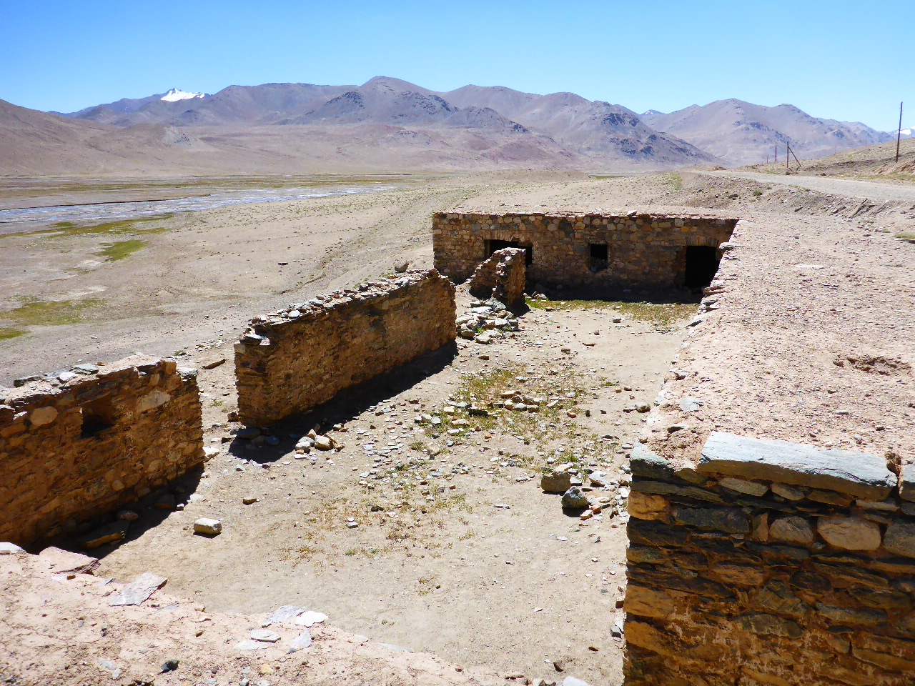
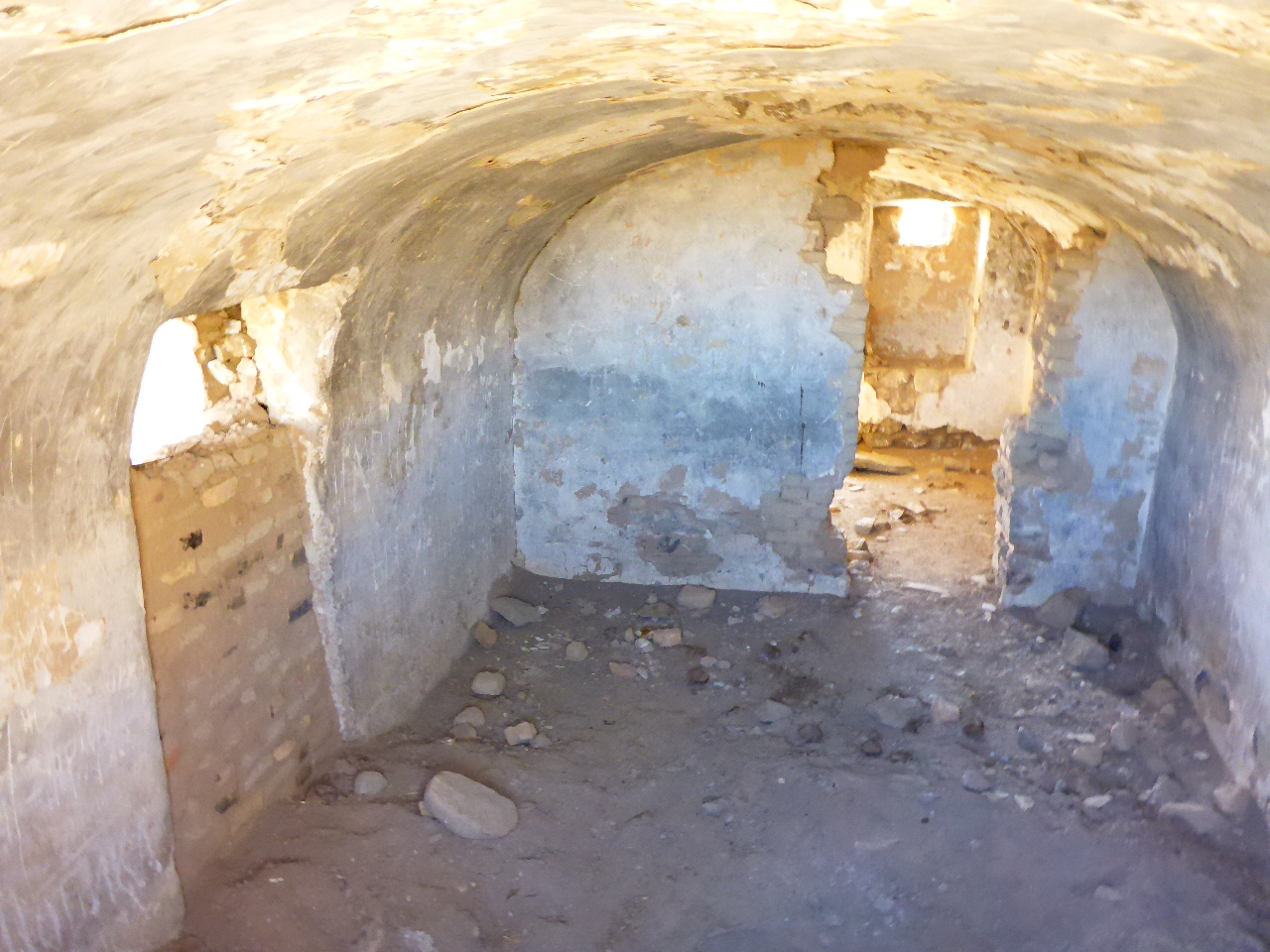
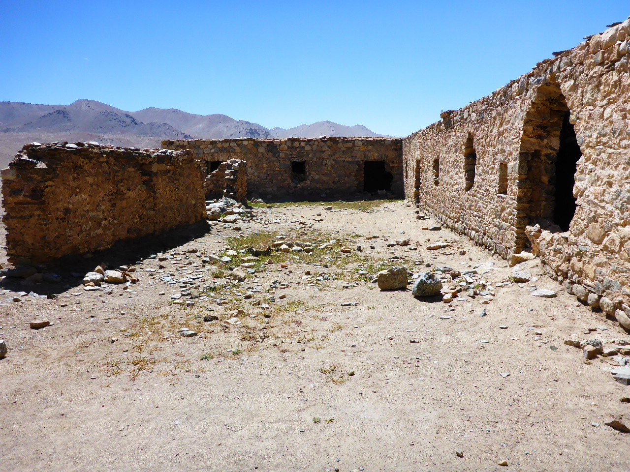
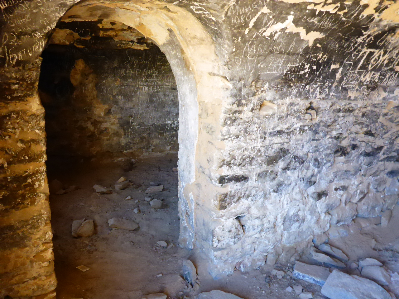
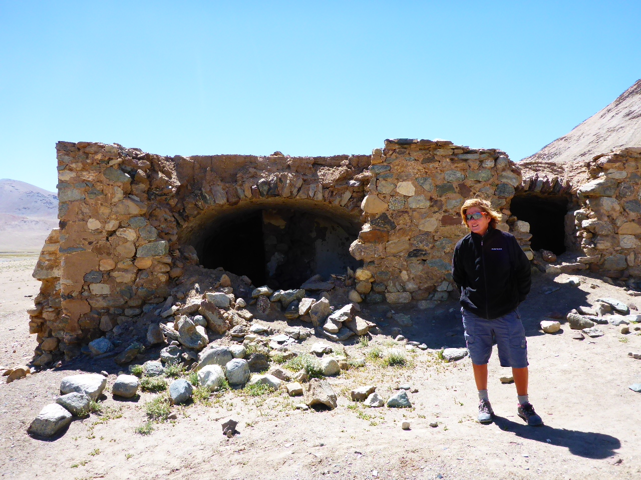
Another cold night, the stream next to us has ice forming in weird sculptures along its edges. The road for the next 15 km is horrendous; loose gravel and deep washboard for most of its length. We swerve from side to side trying to find the best line, but they’re all awful. The strong headwind soon picks up again too. But we do stop to admire a rather nice old caravanserais.
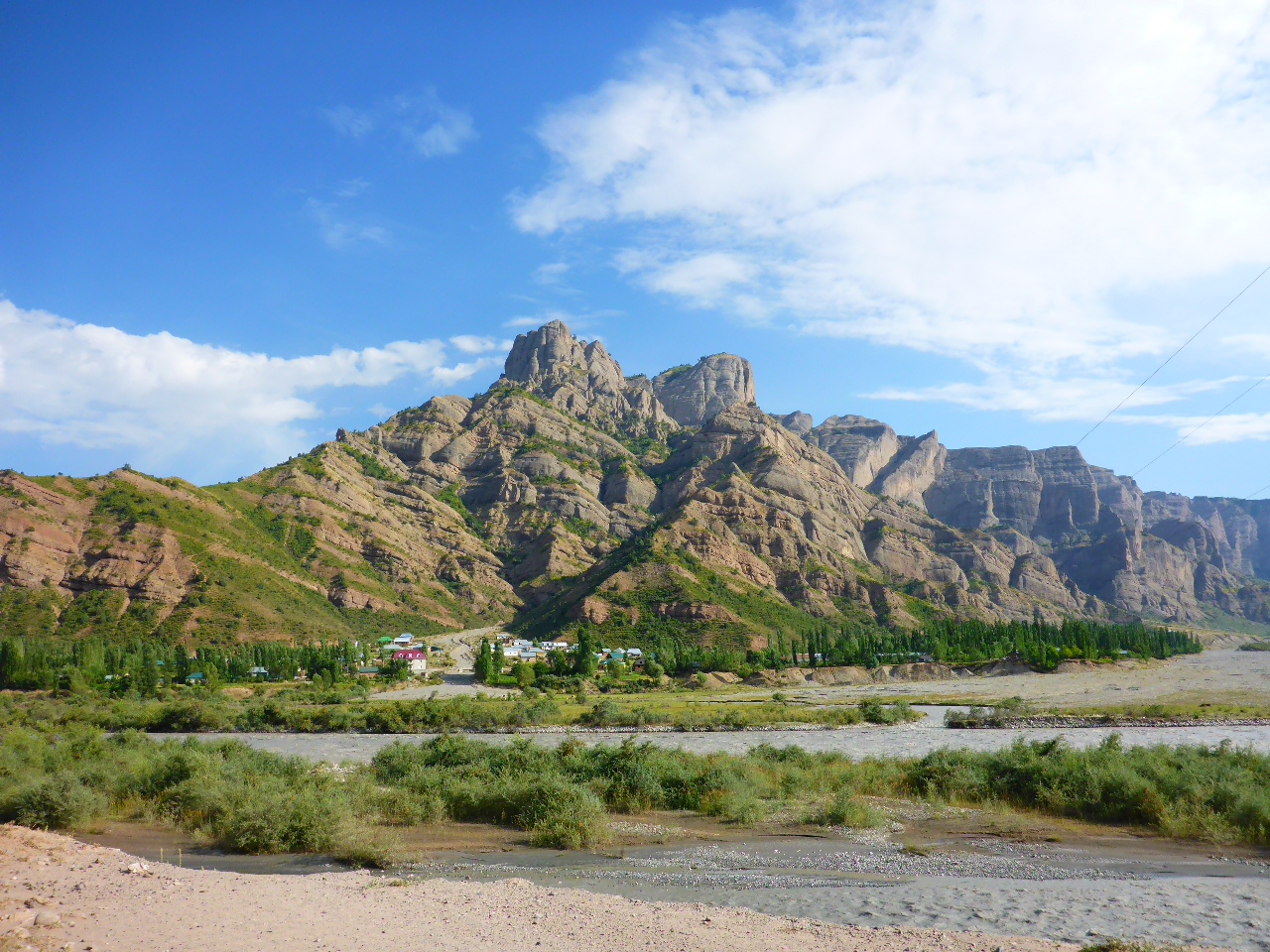
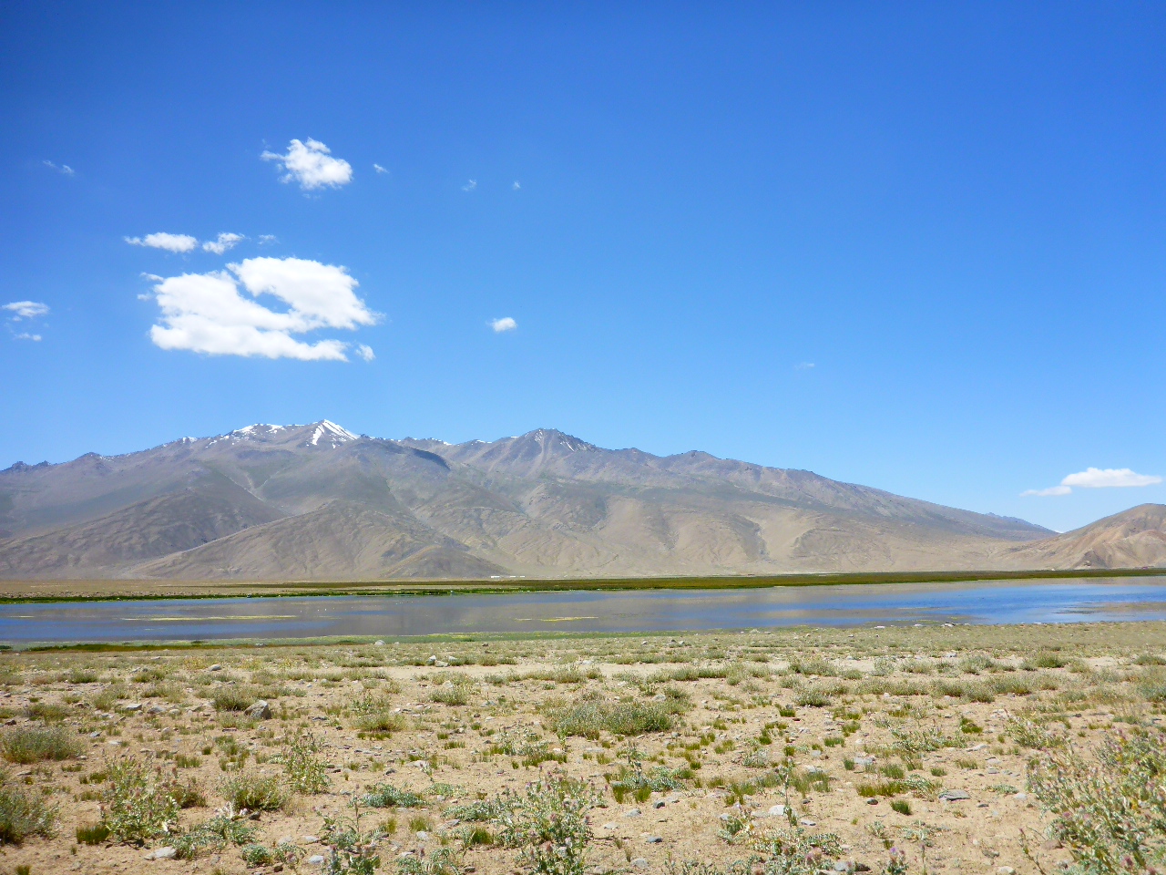
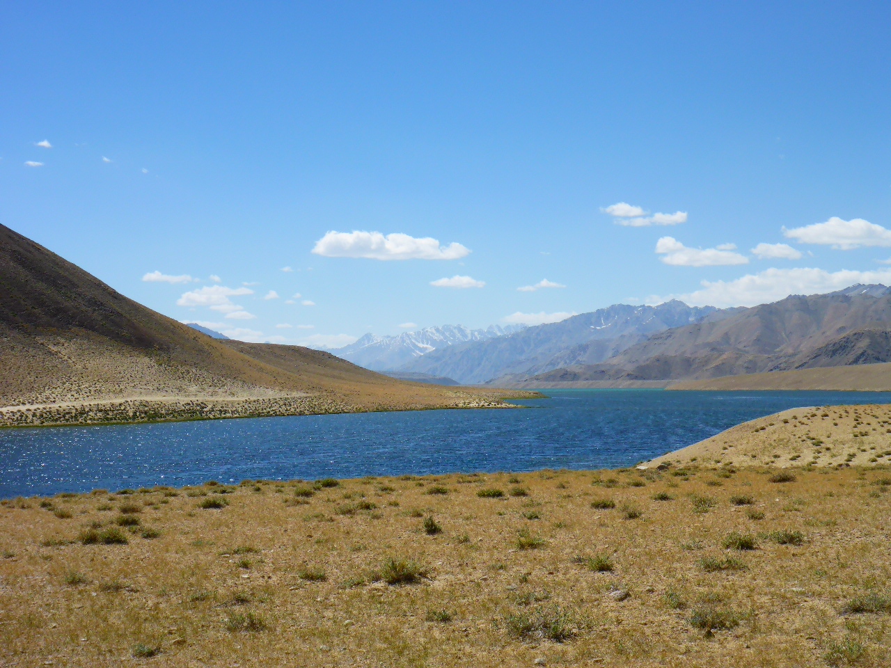
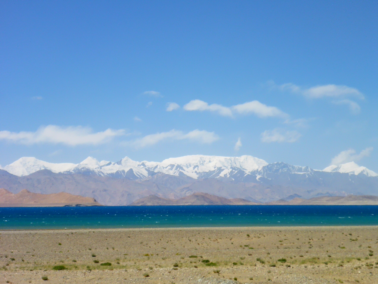
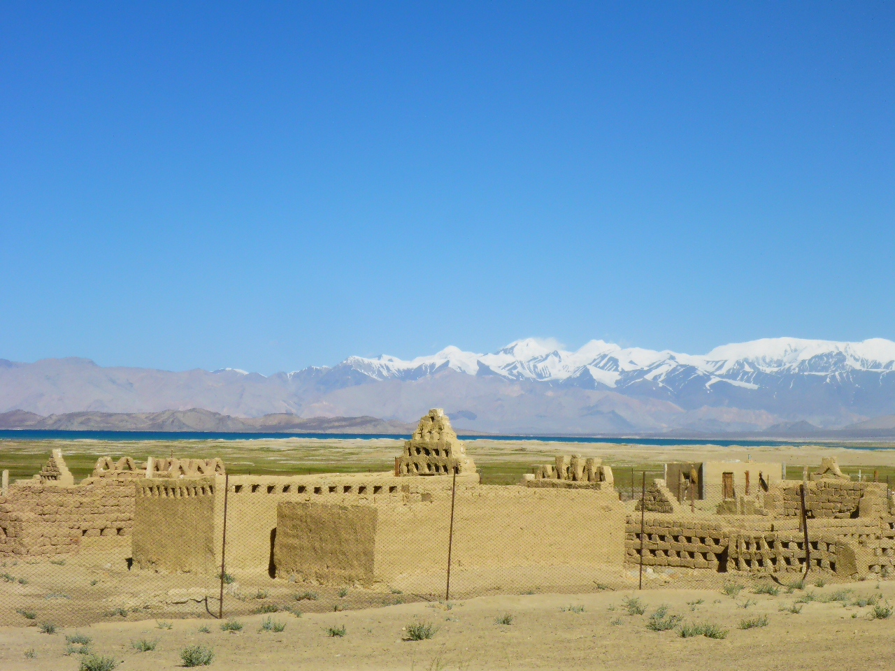
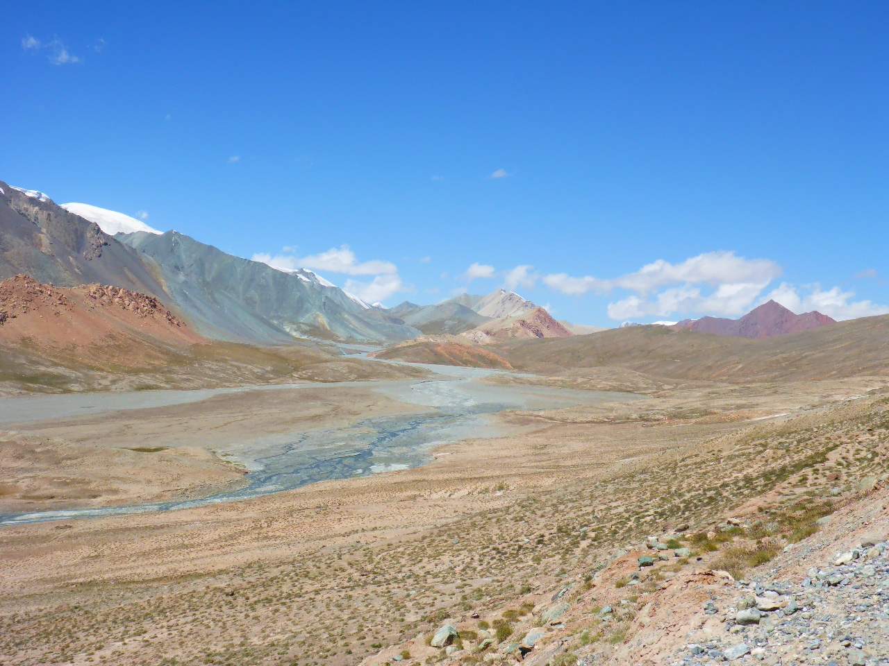
Soon after the road surface turns to tarmac, what a relief that is! Then we have a long descent on a long straight road (24km!) towards Karukul lake. The wind has turned and except for some rough tarmac in places we make good speed. The lake is a deep blue turquoise with snow capped mountains beyond. It’s another beautiful sight.
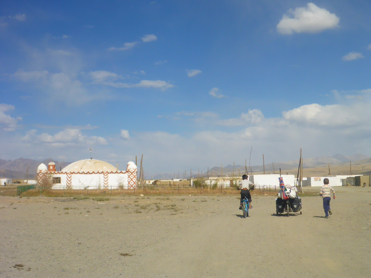
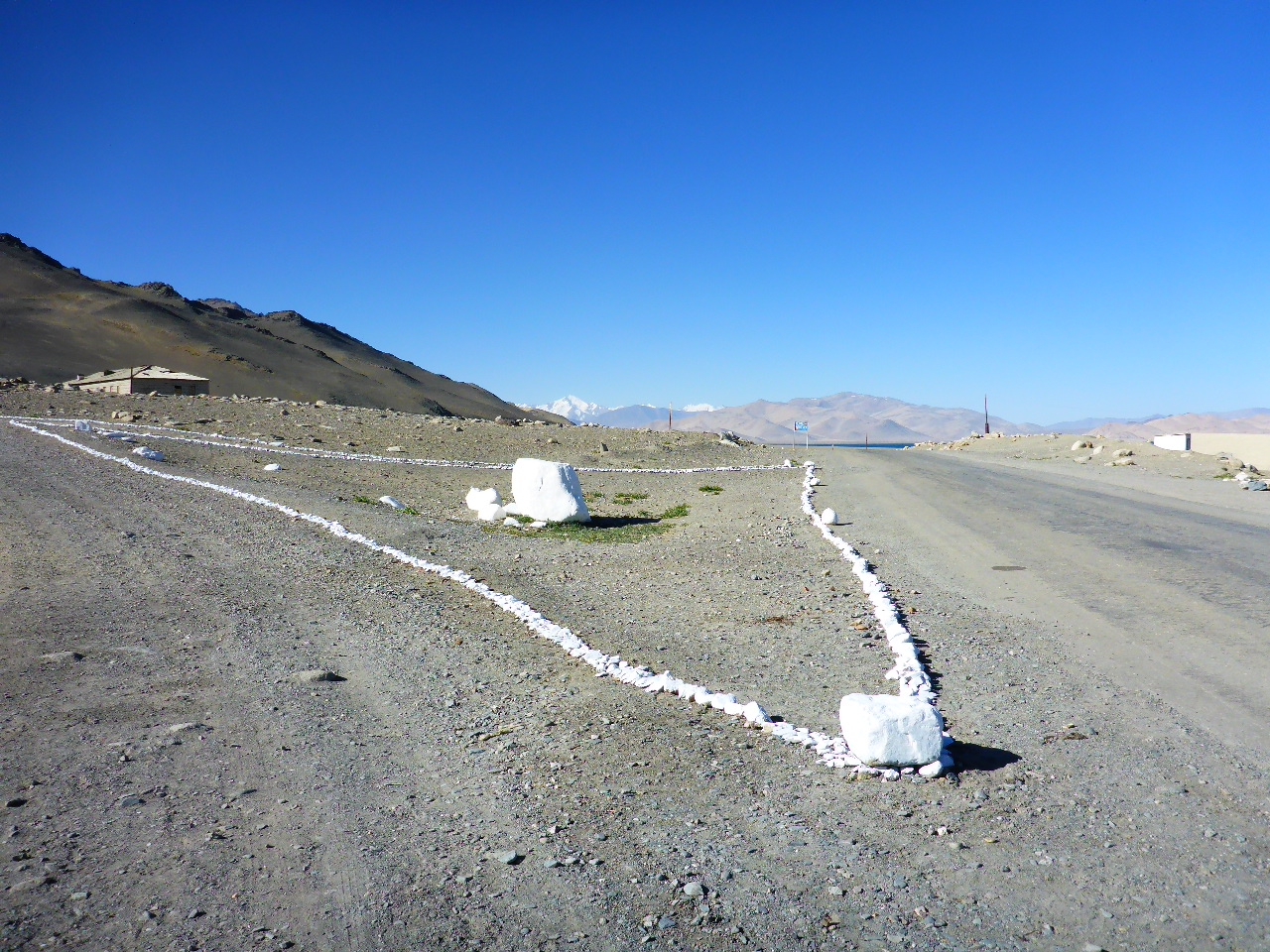
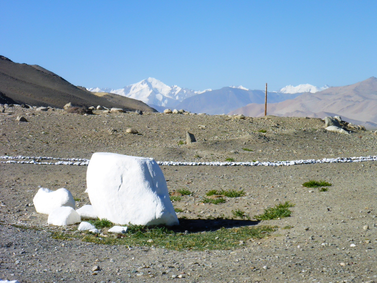
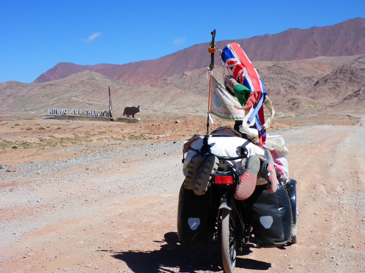
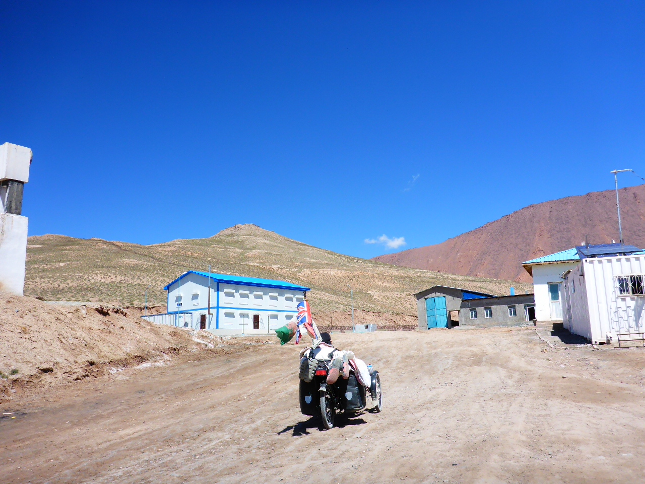
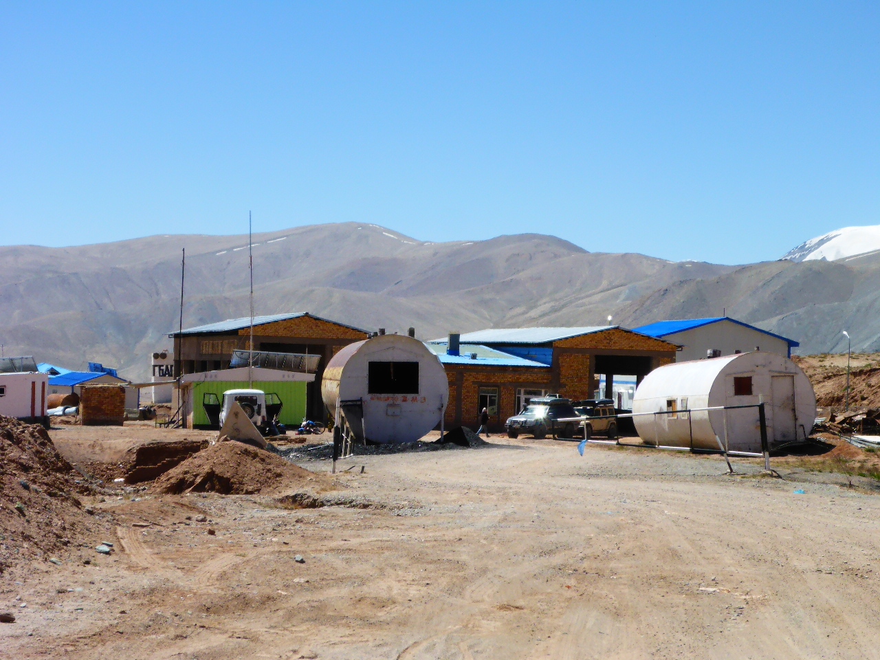
Finally we arrive in Karukul village, the last village before the Kyrgyzstan border. It looks deserted and has the feel of an old Soviet military camp. But we crest a small rise and spot some life; two Tajik soldiers whitewashing a boulder.
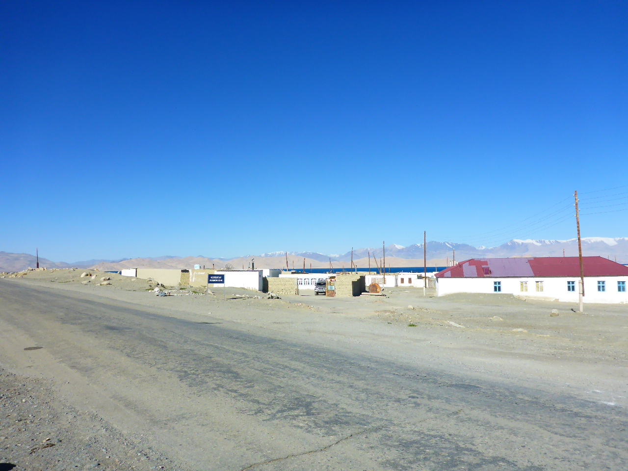
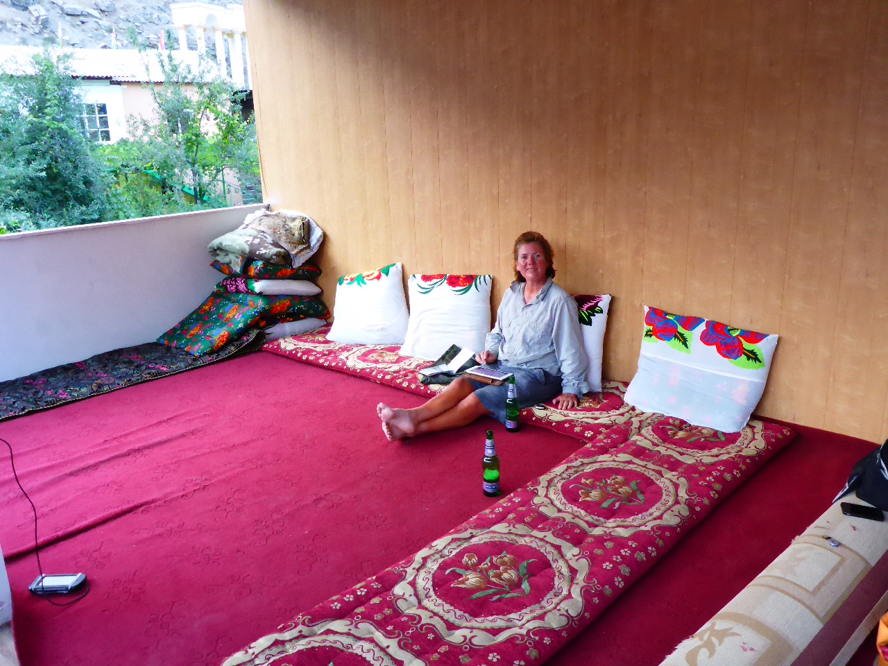
We spot a homestay sign. We’ve only been cycling for just over 4 hours, but the last 2 days climbing and the high winds have drained us so we decide it’s time to experience a homestay. Our first and probably last of Tajikistan. We’re given soup for our lunch and then settle into our room. We’ve been told shower time is 7pm but we soon get a knock on our door and we’re told there’s hot water. I’m led to the bathroom (?). There’s a wood burner heating a tank of water and then there’s a bucket of cold water. I simply need to fill a plastic scoop with hot water (it’s scalding hot), add some cold and then douse myself. Apply shower gel, soap and rinse. It’s actually very enjoyable. Once Daz has washed we relax and read until dinner. At dinner we chat to 3 New Zealanders taking part in the Mongol Rally. It sounds as if they’re having a great experience. During dinner and until 11pm the generator is running and we have lights and a charging opportunity.
Thursday 17th August – Karukul to 14km after Uy Buloq Pass
Distance: 44.80 km
Total Distance: 16218.39 km
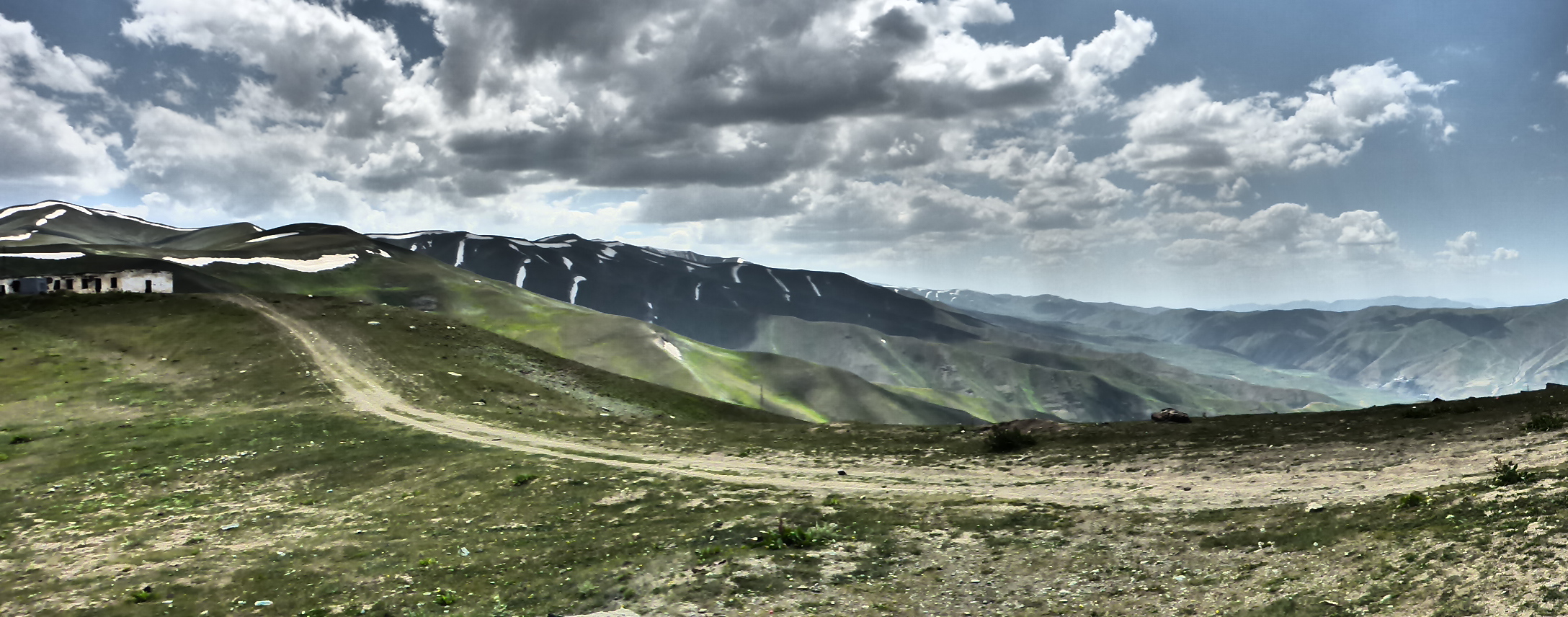
About 3am I needed the loo. I had to go to the outside dunny. There were no lights in Karukul, only moonlight. There’s certainly no light pollution out here. About 7.30am we get up and discover it’s actually very cold outside. We’re given breakfast but like our other 2 meals it’s very basic and very small portions. We prepare to leave but today we need extra layers to keep warm. We headout of Karukul and up Uy Buloq Pass at 4232m.
The views back over Karukul Lake and the snow capped mountains are stunning.
The pass isn’t so tough and we stop for lunch before the descent. Whilst we are stopped another Mongol Rally car stops to say hello.
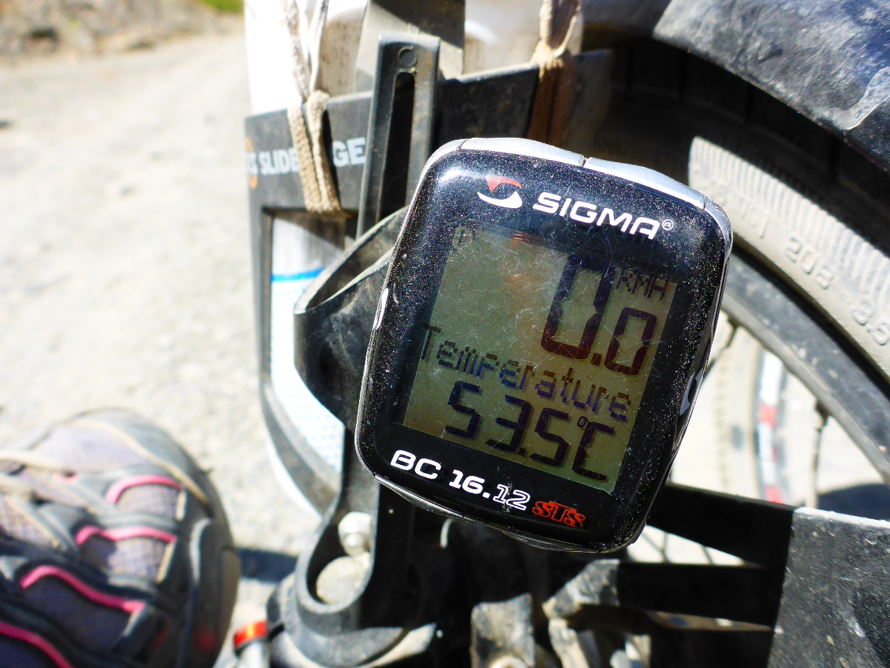
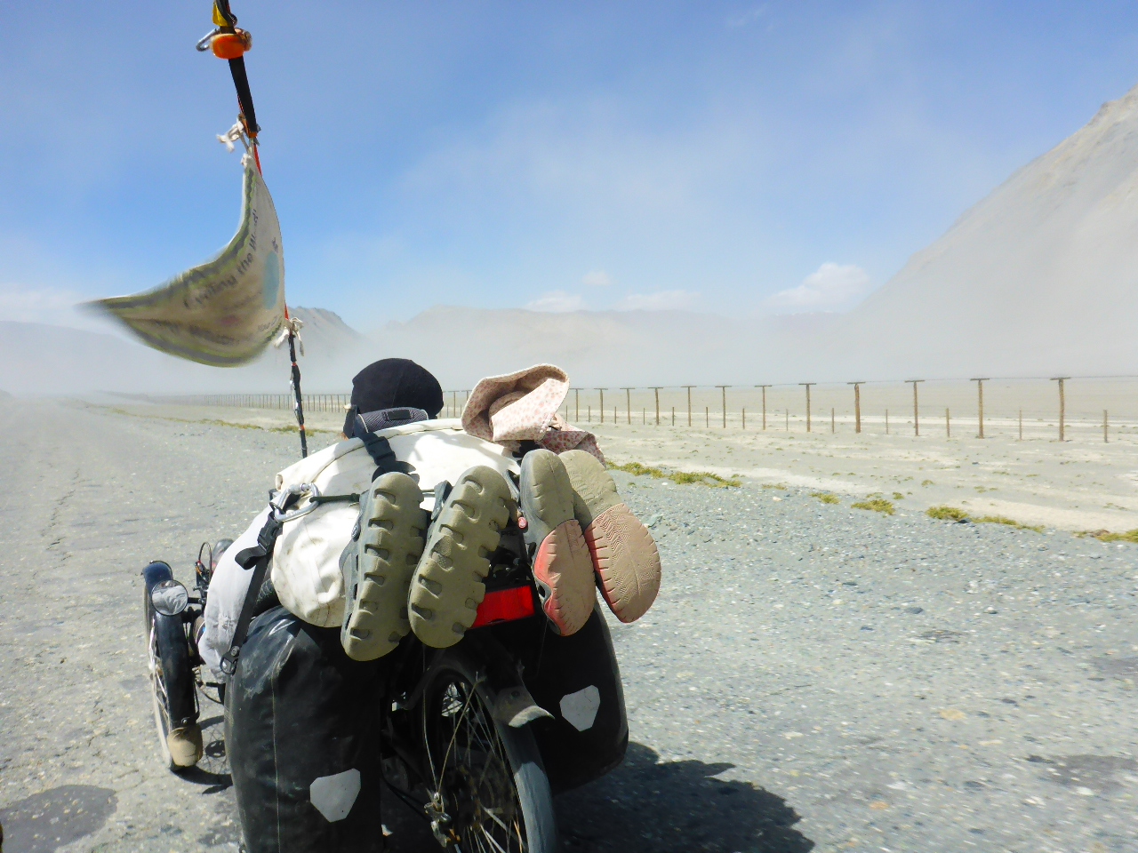
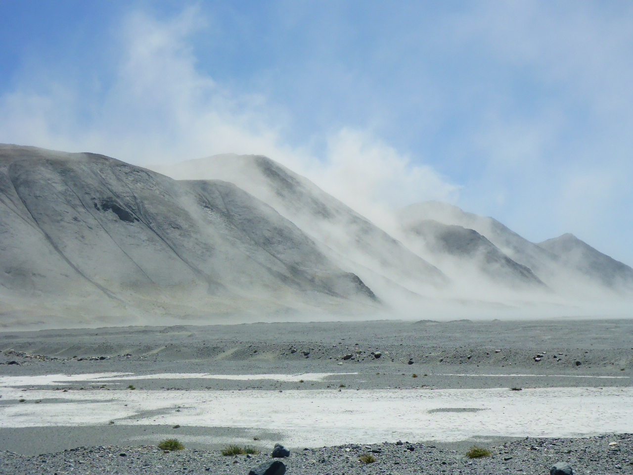
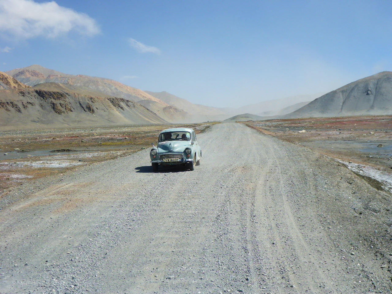
Sadly whilst we’re taking our break the wind switches to a head wind and starts churning up the dust. We descend but it’s like being sand blasted. It’s also pretty chilly (18 deg C) but the wind has a bite to it. If there were any trucks we’d hitch a lift to the border but there’s hardly any traffic except for a stray Morris Minor!!
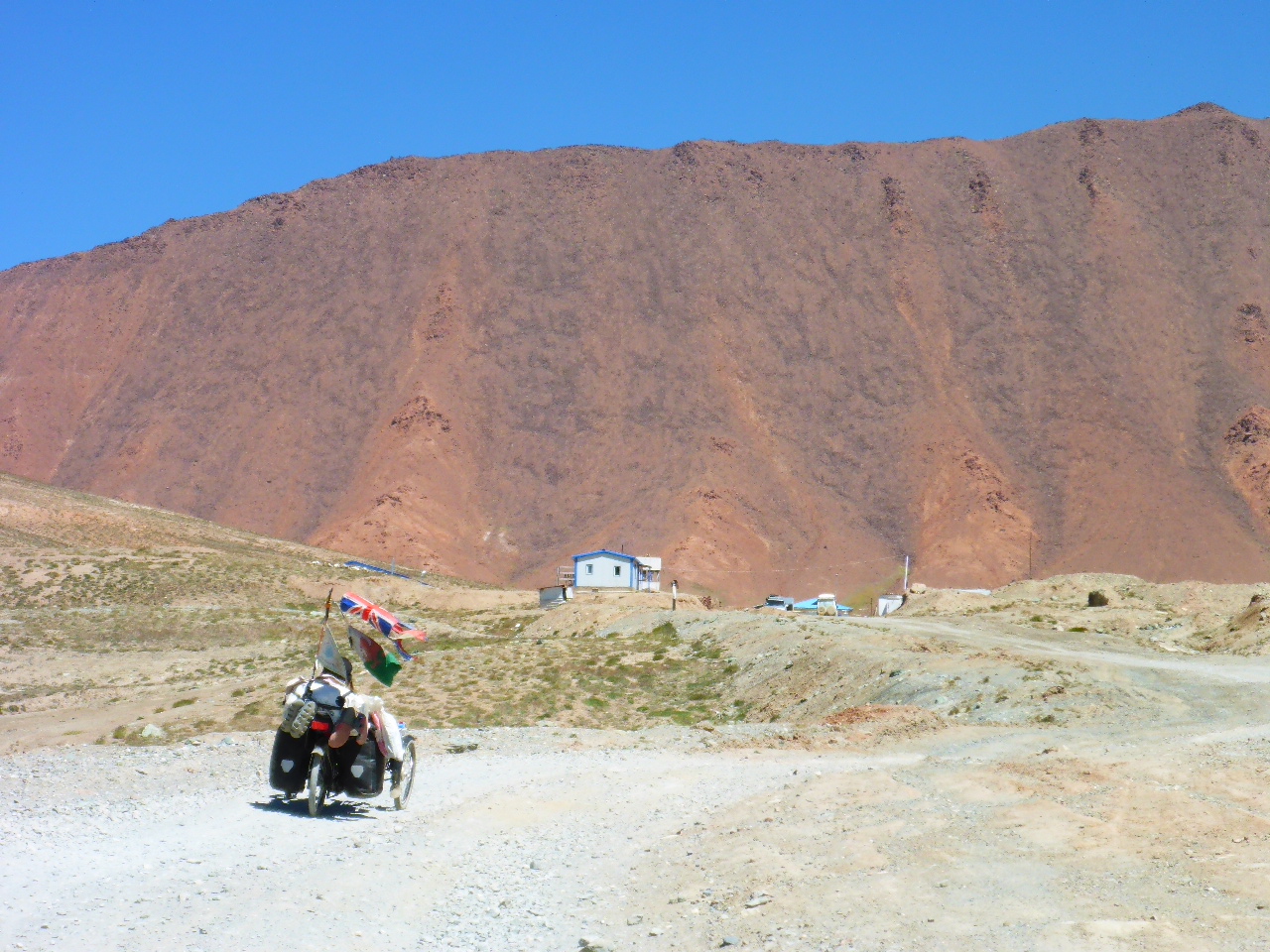
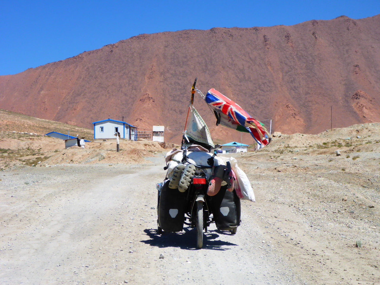
We manage 14km and spot some derelict buildings the other side of the Chinese border fence, luckily there’s also a break in the fence. We carry out a recce and Daz gives the site his approval. It isn’t up to our usual standards but we’re worried we won’t find anything better. Hopefully tomorrow the wind will be in our favour to cover the last 14km to the Tajikistan border.
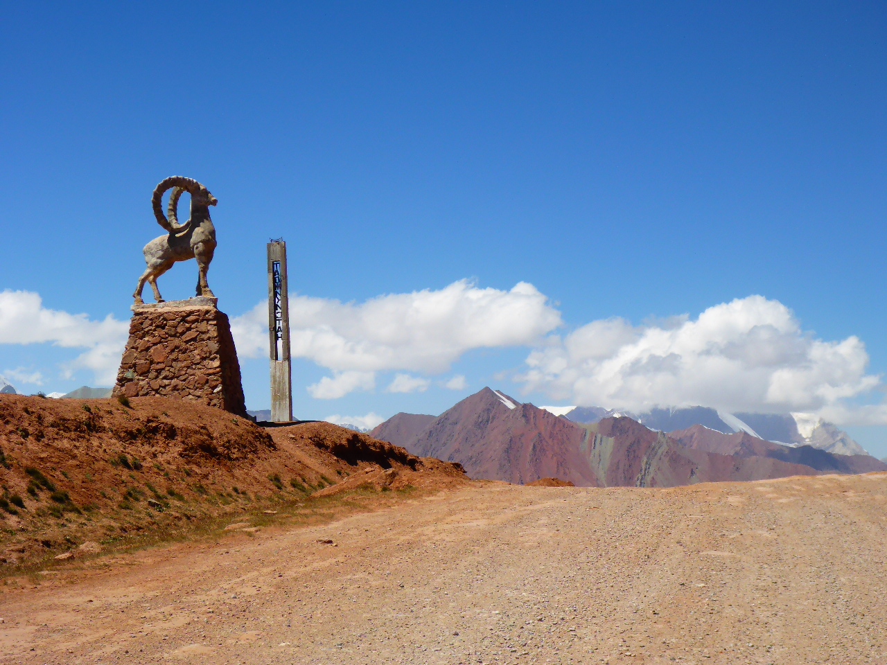
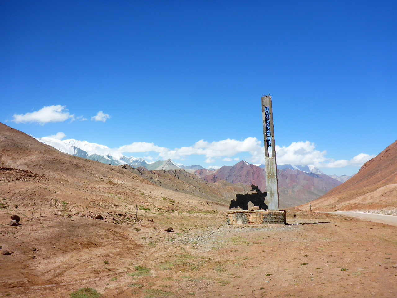
Friday 18th August – 14km after Uy Buloq Pass to 2km over Kyrgyzstan border
Distance: 36.20km
Total Distance: 16254.59 km
The buildings provided some shelter but the wind was still blowing strongly at midnight making the tent flap noisily. We did manage some sleep but woke to ice on the tent.
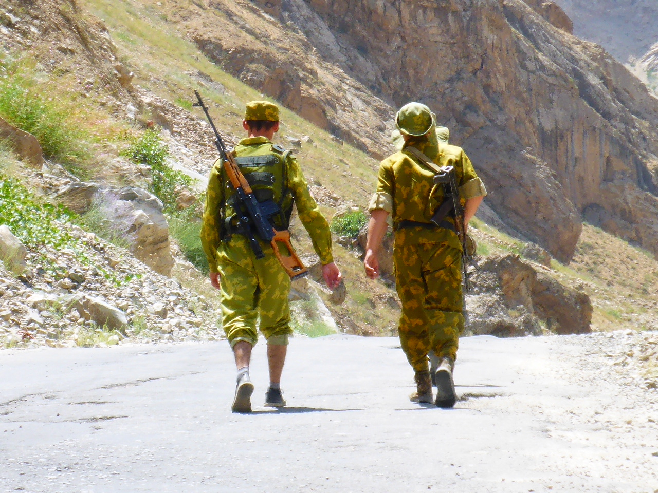
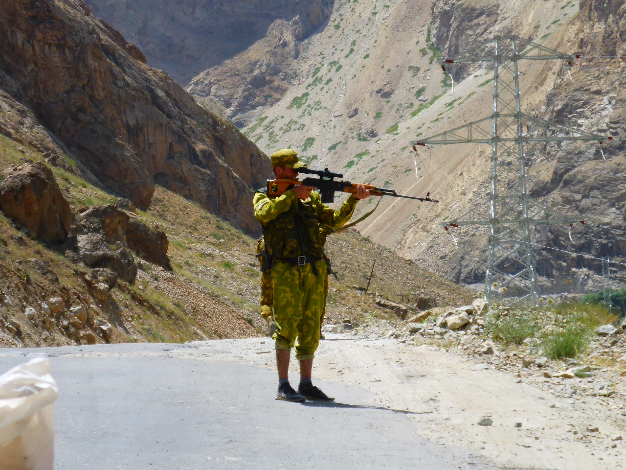
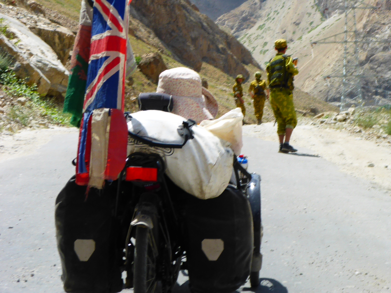
We were enjoying our morning routine of Kindle reading accompanied by tea, followed by porridge when I looked up and discovered 2 Tajik soldiers coming towards us. They had appeared from nowhere coming from the China direction. There was no vehicle anywhere in sight. The senior of the 2, a Captain, was clearly unimpressed with our choice of camping spot. He kept pointing at the fenceline as if to say “ Can you 2 idiots not see the fenceline! This is the buffer zone and a no-go area for all. Not a bloody camping ground!”. We promised to move on as soon as our icy tent had dried and our breakfast routine was complete. Having no idea where they’d come from we were curious to see what they’d do next. They walked to the road, waited and chatted and eventually when a car came along tried to hitch a lift to the Tajik border. Having eaten and packed up we resumed our uphill struggle to the Tajik border.
It took us several hours on the terrible gravel, sand, washboard surface. Finally we got there and saw the Army Captain who had watched us at breakfast.
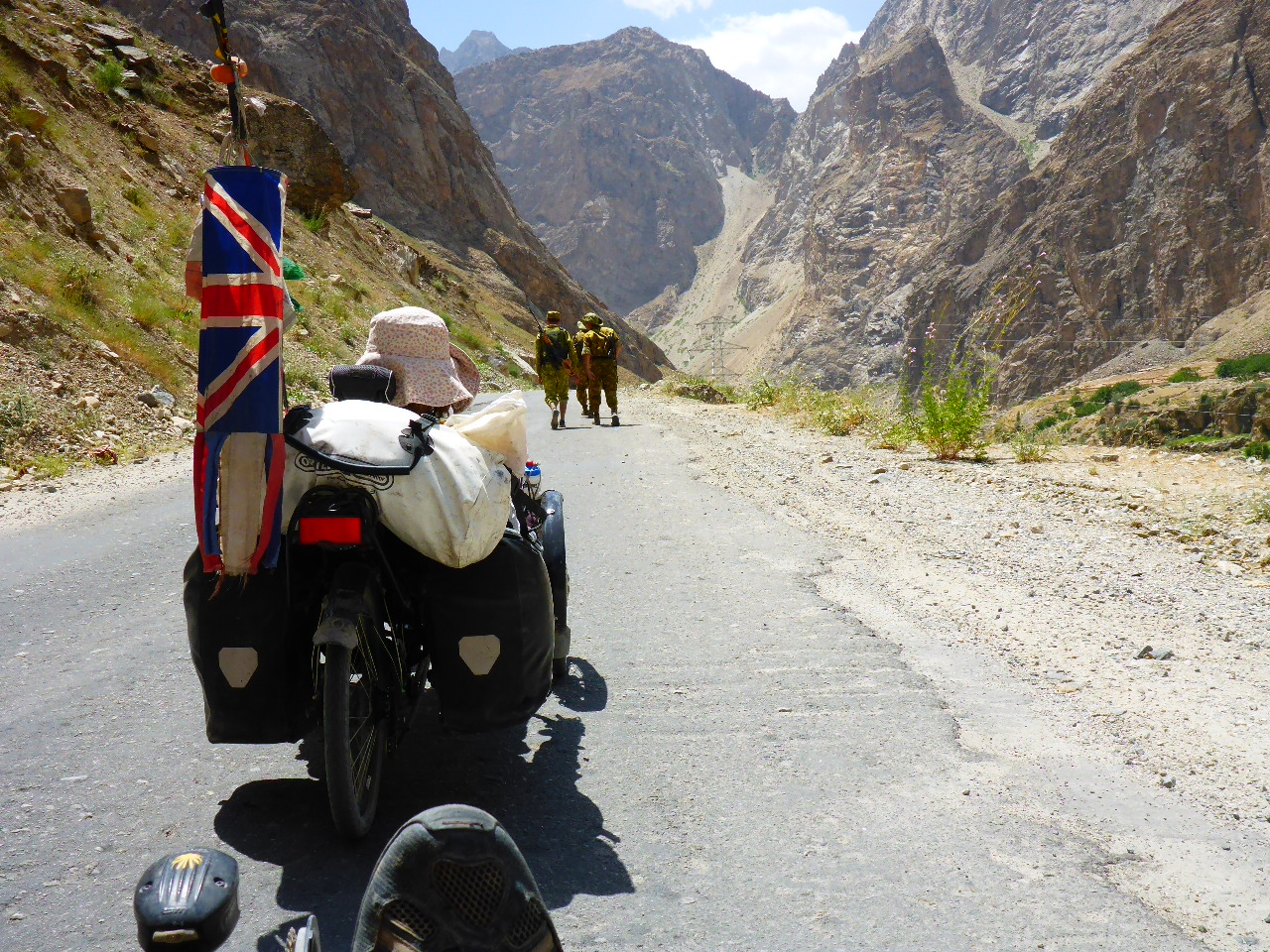
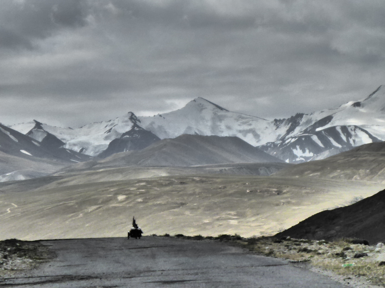
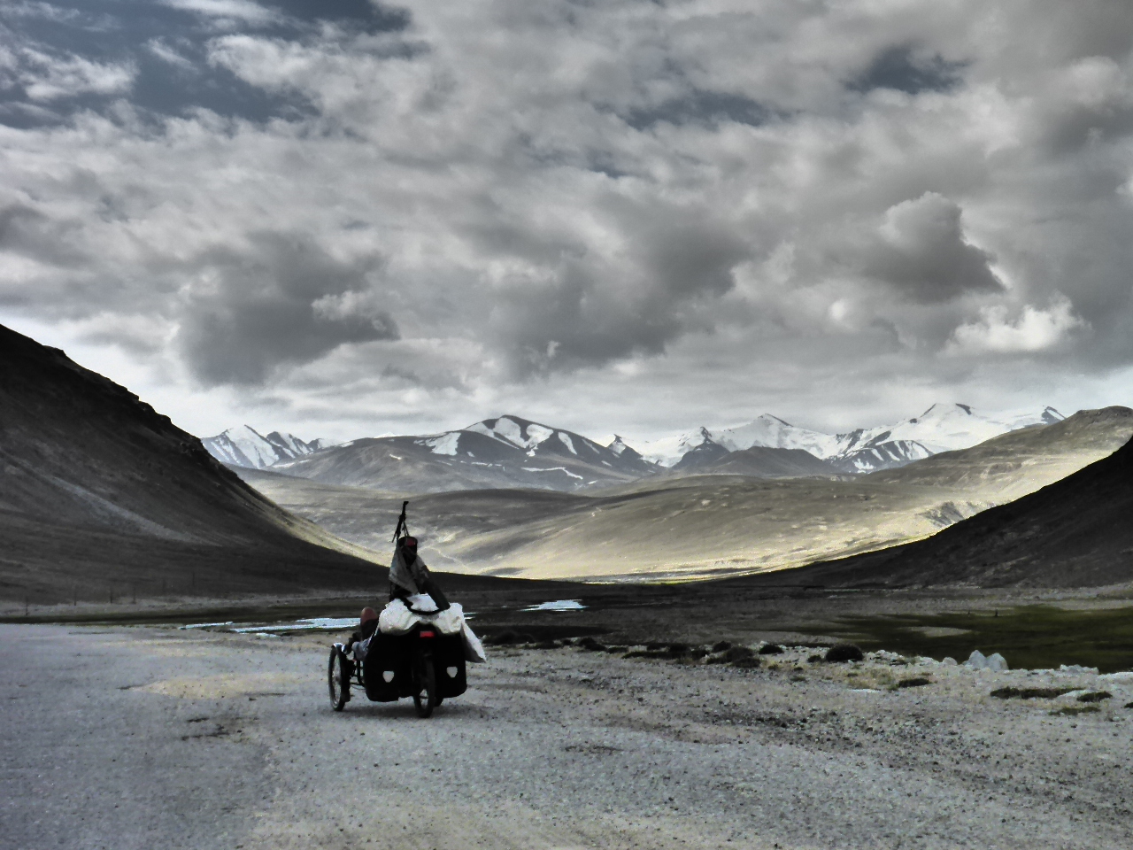
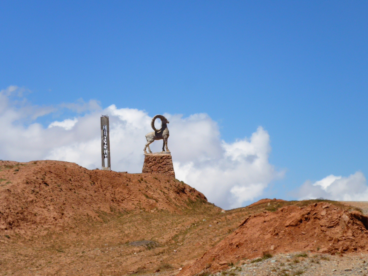
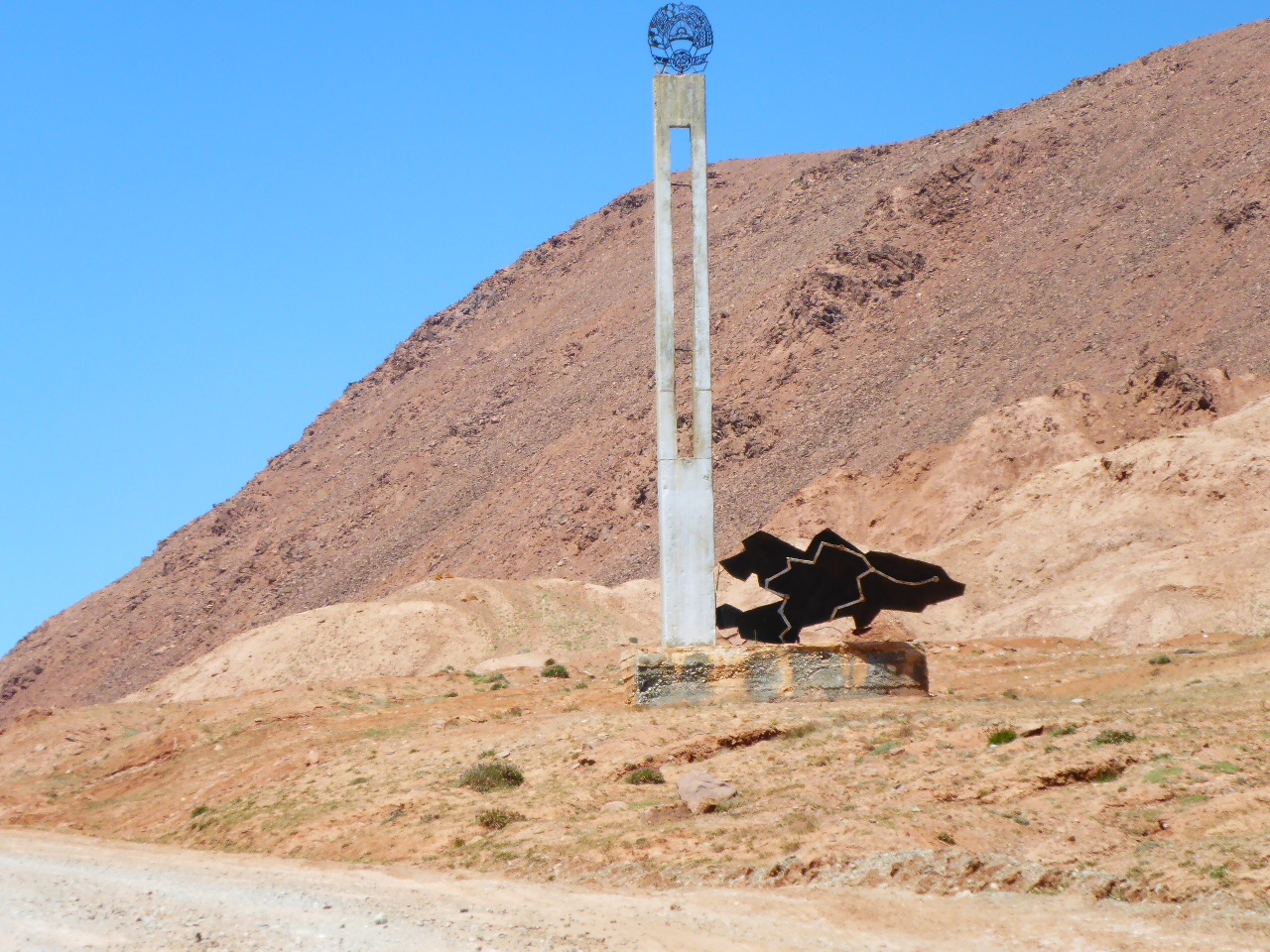
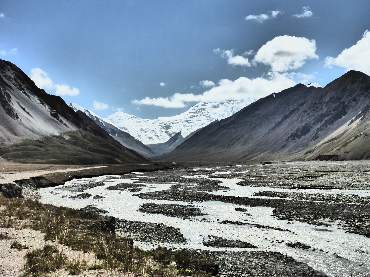
We had our passports checked and passed through the Tajik border into 20km of no-man’s land between Tajikistan and Kyrgyzstan. We climbed another pass – the Kizil Art Pass at 4280m and then descended on a horrendously rough, rocky track to the Kyrgyzstan border.
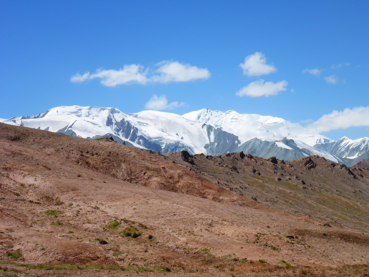
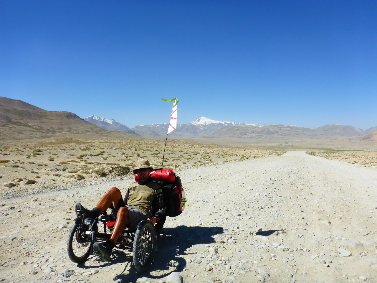
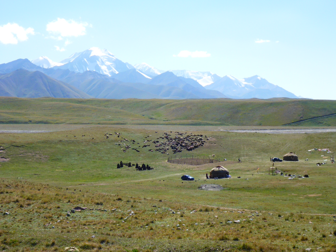
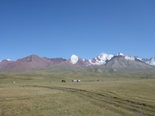
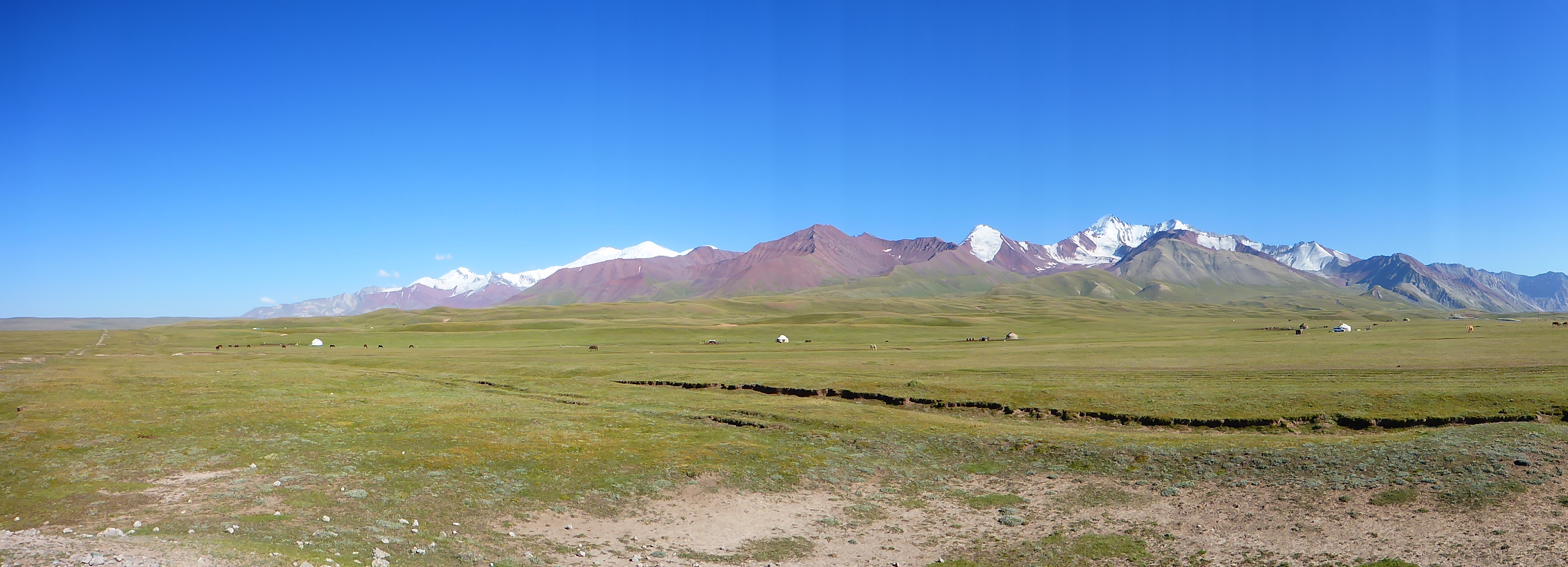
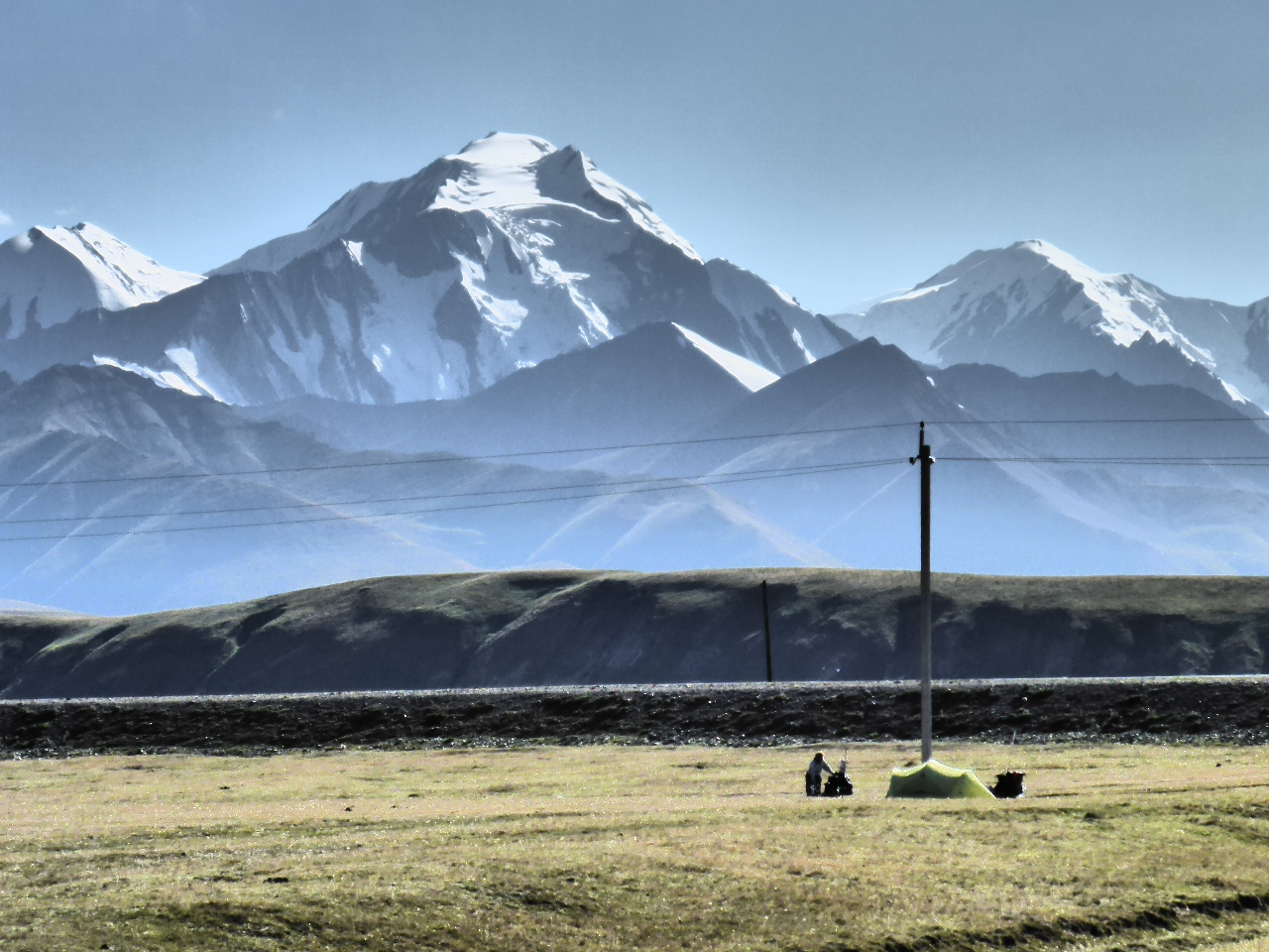
It was freezing but we had beautiful views up the wide Kyzyl river valley to snow capped mountains at its head. Lenin peak, at 7134 metres is a popular climbing destination and there are numerous base camps on the map belonging to different expedition companies.
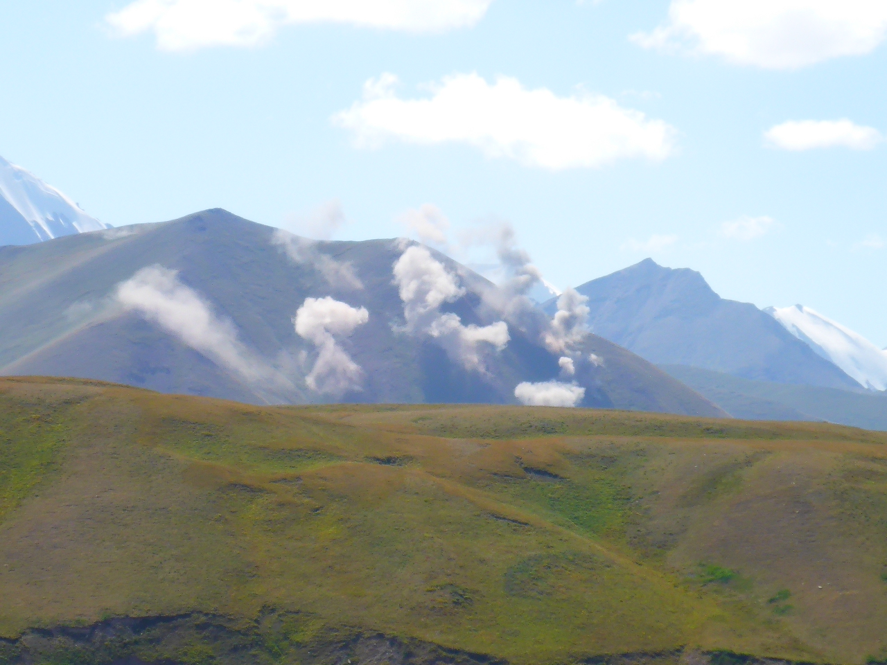
At the Kyrgyzstan border we waited our turn to have our passports checked. Once through the border control we stopped for a late lunch. We’d both heard muffled explosions as we descended from the Tajik border but couldn’t work out the source. Whilst enjoying a lovely cuppa the number of explosions increased, echoing around the valleys. Suddenly I spotted plumes of smoke on the hills in the next valley. Daz realised there was an artillery exercise and we were seeing the shells impact.

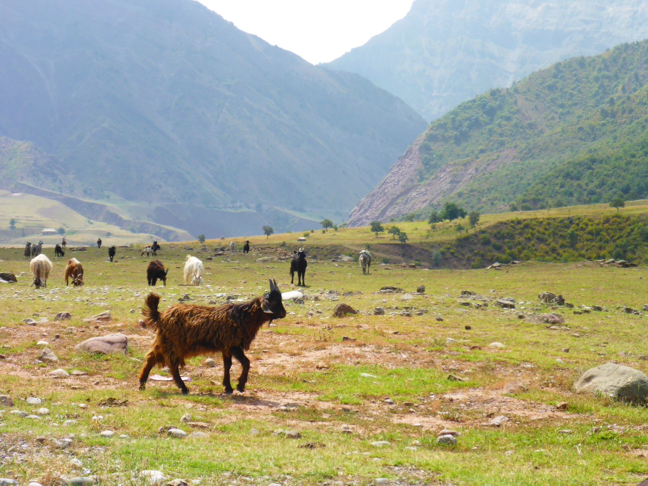
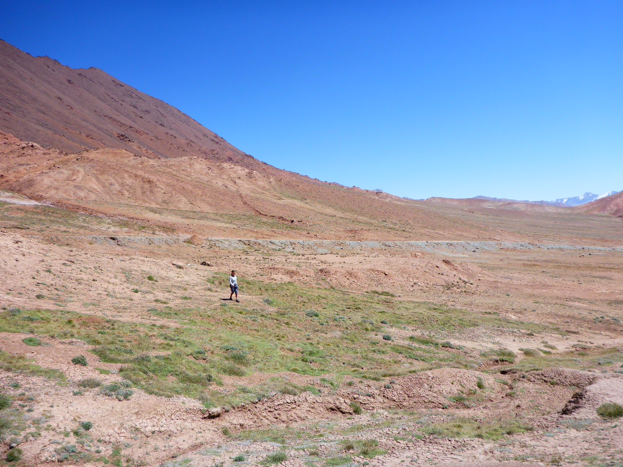
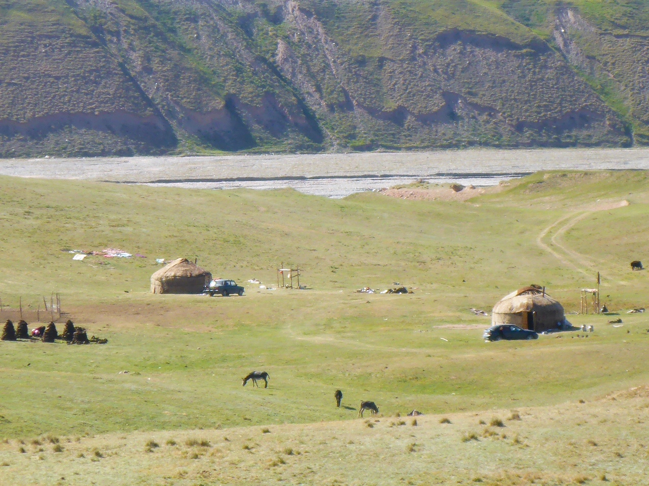
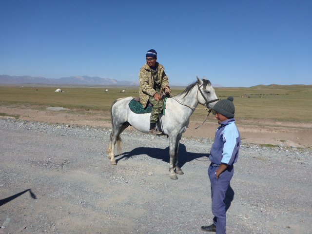
After lunch we continued but were undecided about what to do. The nearest town of Sary Tash is still 20km away and it’s already nearly 4pm. I’d like to camp but we don’t have much water. Then we cycled into the most beautiful rolling, green countryside surrounded by mountains. There were Yurts dotted everywhere with herds of goats, horses and yak (or perhaps weird shaped cattle).
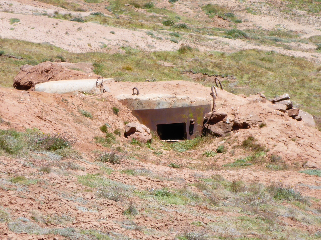
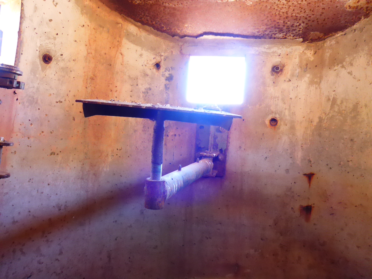
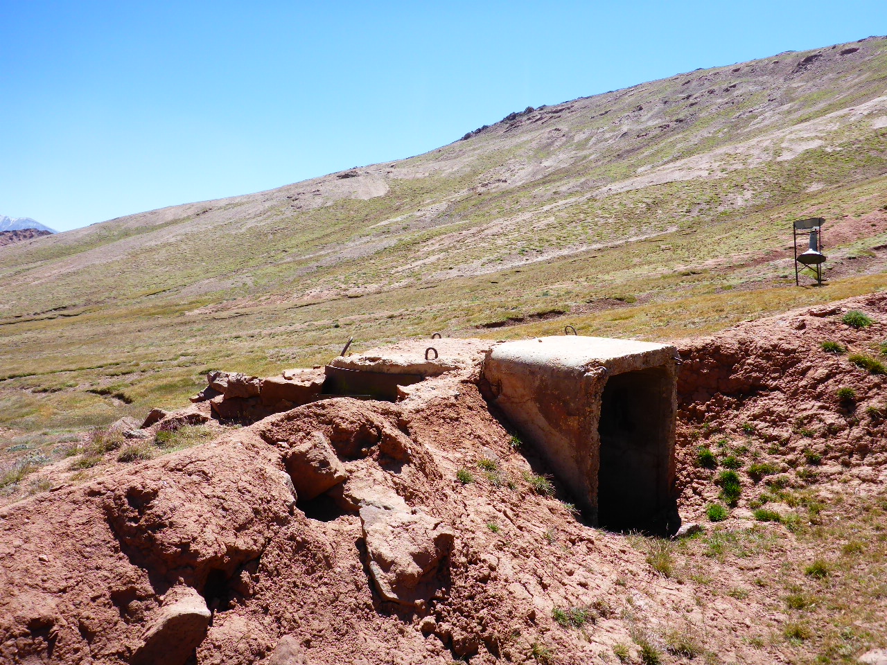
Then we spotted the artllery dug in along the river bank on our left. There were mortar pits and trenches not 20 metres from the public road. We cycled passed 105 mm and 155 mm (maybe!?) artillery pieces, there were even a number of multi barrel rocket launchers being dug in along the roadside, a great show of Kyrgyzstan Armed Forces. We managed to scrounge some water off the Army and then set up camp on the other side of the road.
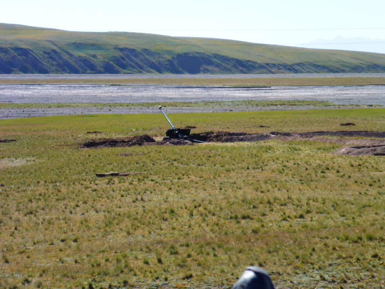
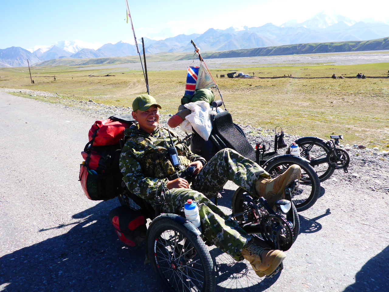
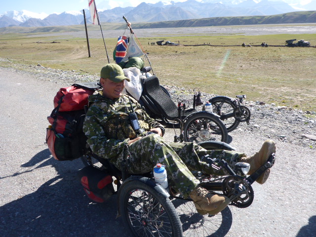
Lets hope there’s no night firing! Fortunately there wasn’t any night firing but there was an evening display of their multi barrel rocket launchers firing onto the distant hills. Most impressive.